Trimmis - Chur Epic Road Cycling Expedition
Trasa rowerowa o rodzaju road rozpoczynająca się w miejscowości Trimmis
Embark on an epic road cycling expedition from Trimmis to Chur and conquer challenging mountain passes
Mapa
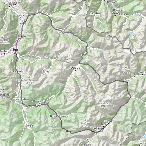
Experience the ultimate road cycling challenge on the Trimmis - Chur epic expedition, covering a distance of 173 km with a grueling ascent of 4527m. From Trimmis to Chur, you will pass through Küblis, Klosters Dorf, Wolfgangpass, Flüelapass, and Zernez, each offering breathtaking views and exhilarating cycling experiences. This route is perfect for experienced cyclists seeking a test of endurance and a chance to explore the stunning mountain landscapes of Ostschweiz.
road
173 km
4527 m
Trudna
Profil trasy
Najważniejsze punkty na trasie
0 km
0 km
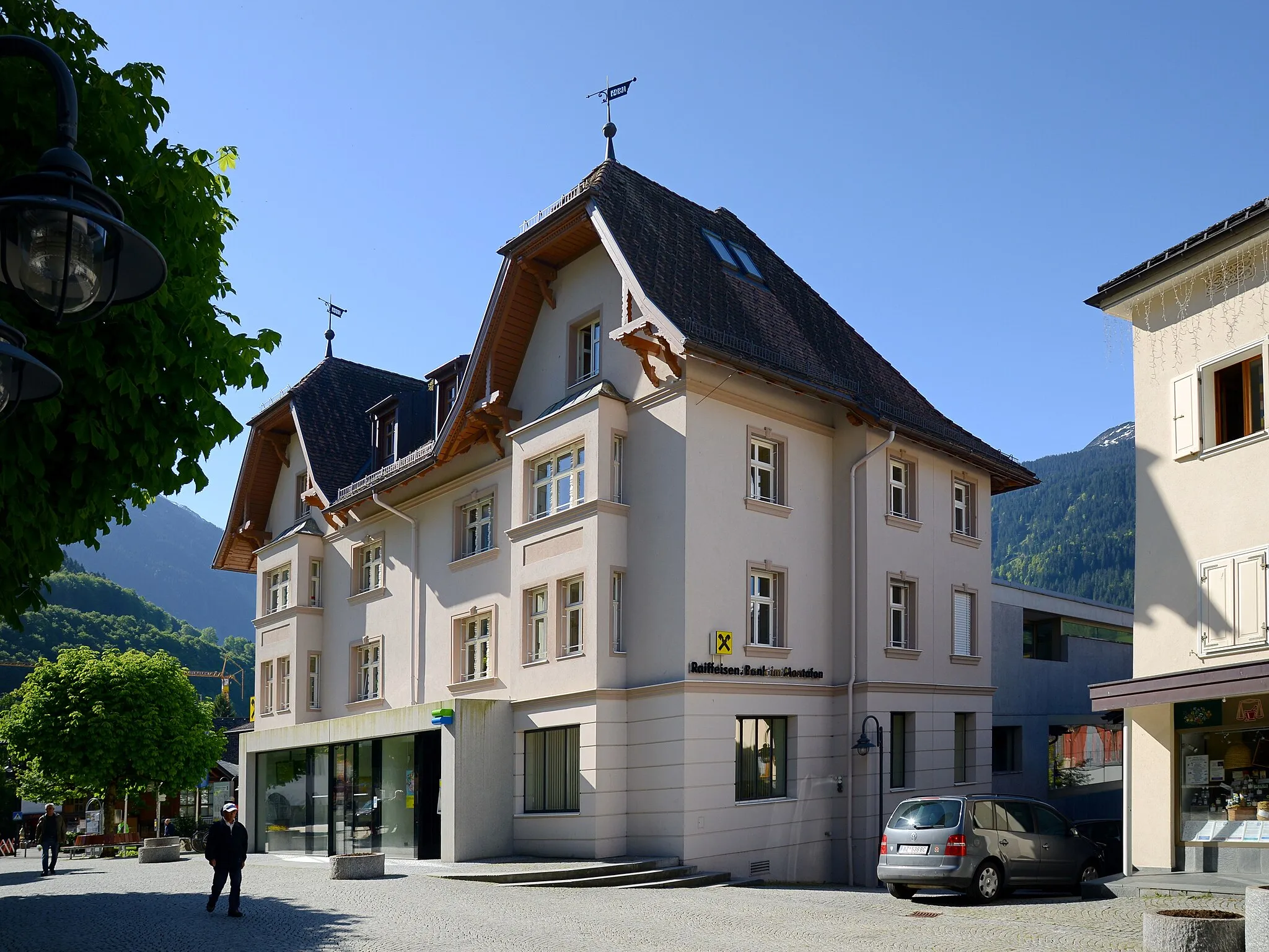
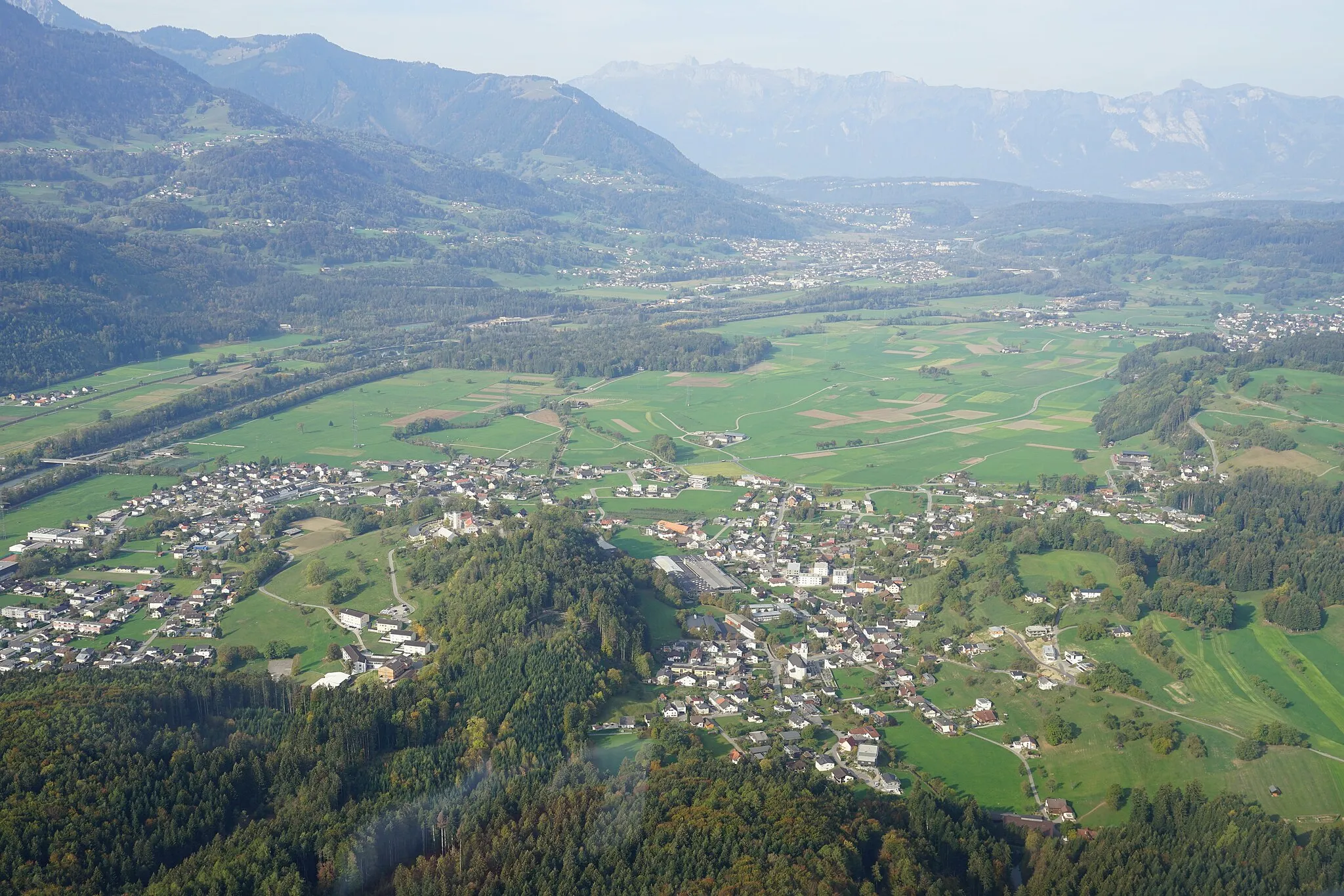
Start: Trimmis Village centerTrimmis: Różnorodne trasy rowerowe - zarówno szosowe, jak i górskie.
Trimmis to lokalność w regionie Ostschweiz, która oferuje wiele możliwości do jazdy na rowerze. Znajdują się tu zarówno trasy szosowe, jak i szlaki górskie, co sprawia, że jest to idealne miejsce dla miłośników różnorodnej jazdy na rowerze.0 km
0 km
TrimmisWioskaBegin your epic cycling expedition in the picturesque village of Trimmis and prepare for the ultimate challenge.
8 km
8 km
Haupt1397 mSzczytConquer the challenging ascent to Haupt and enjoy the stunning views from the summit.
28 km
28 km
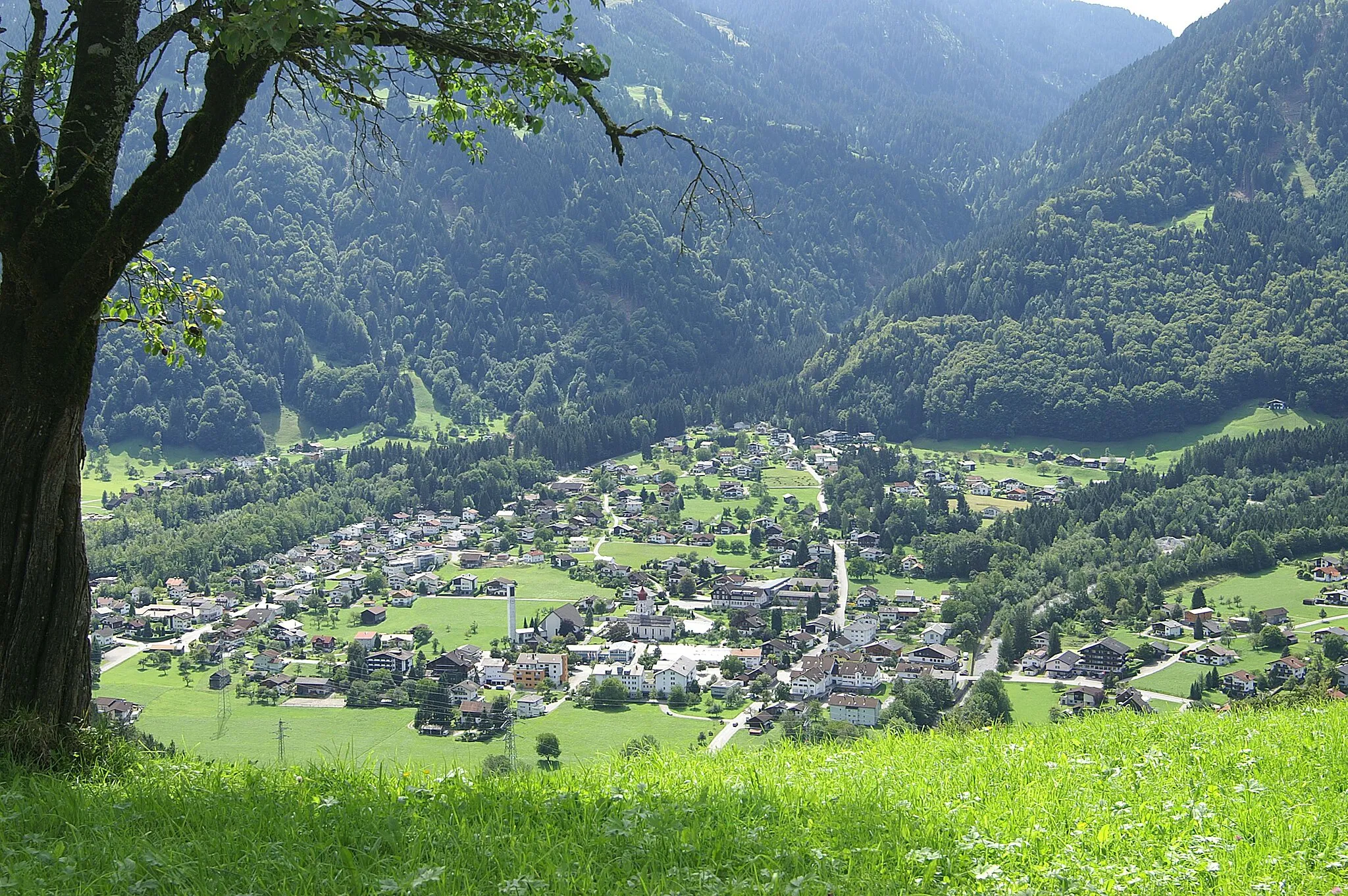
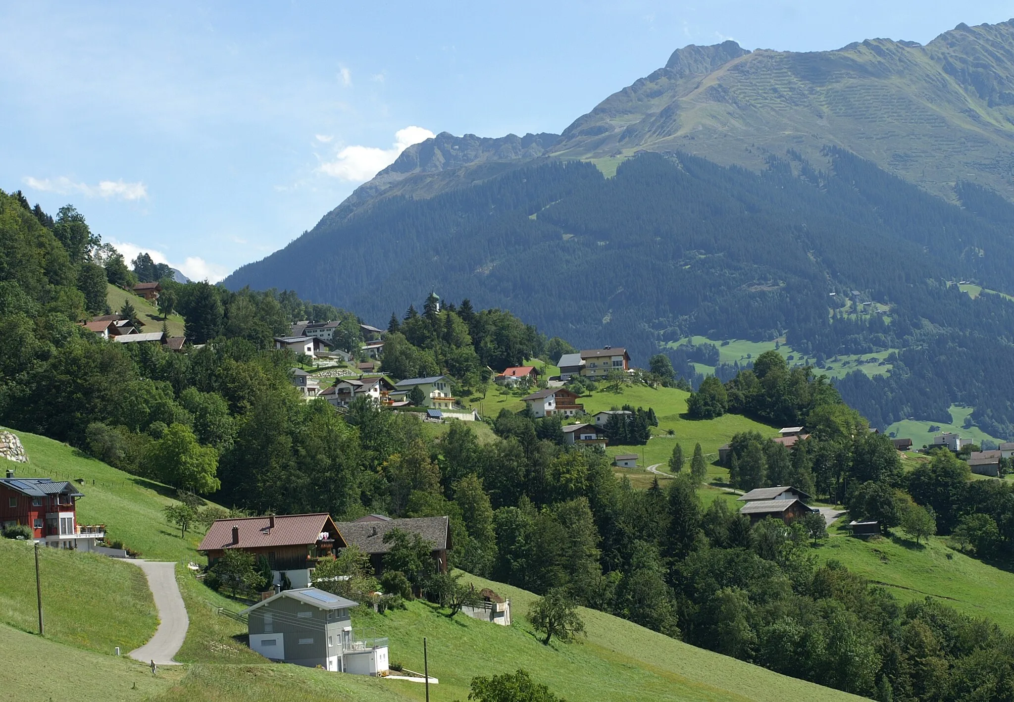
KüblisWioskaCycle through the scenic landscapes of Küblis and marvel at the beauty of Ostschweiz.
37 km
37 km
Klosters DorfWioskaChallenge yourself with the steep climb to Klosters Dorf and test your cycling skills.
46 km
46 km
Wolfgangpass1630 mPrzełęcz górskaConquer the Wolfgangpass mountain pass and experience the thrill of reaching the summit.
62 km
62 km
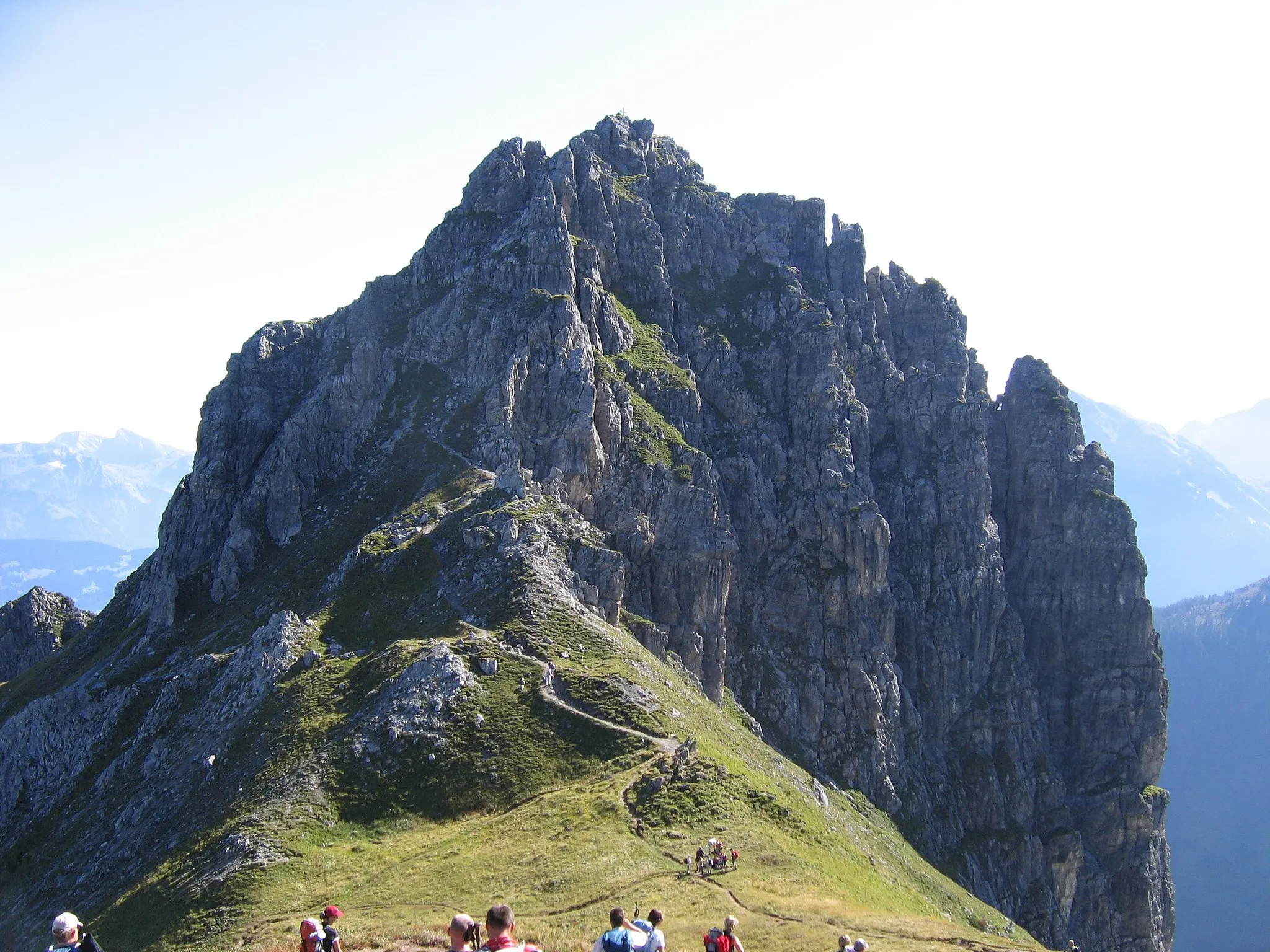
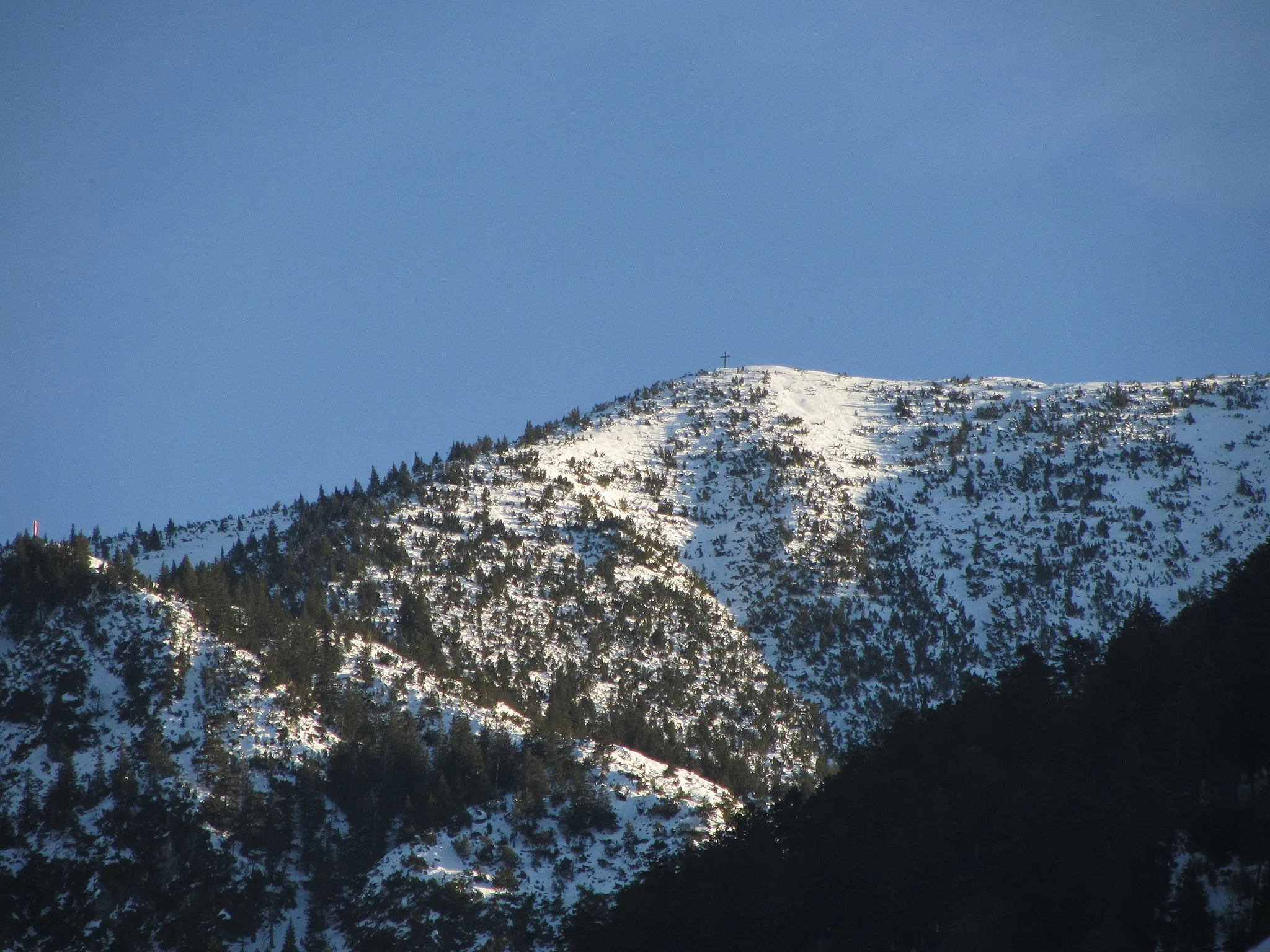
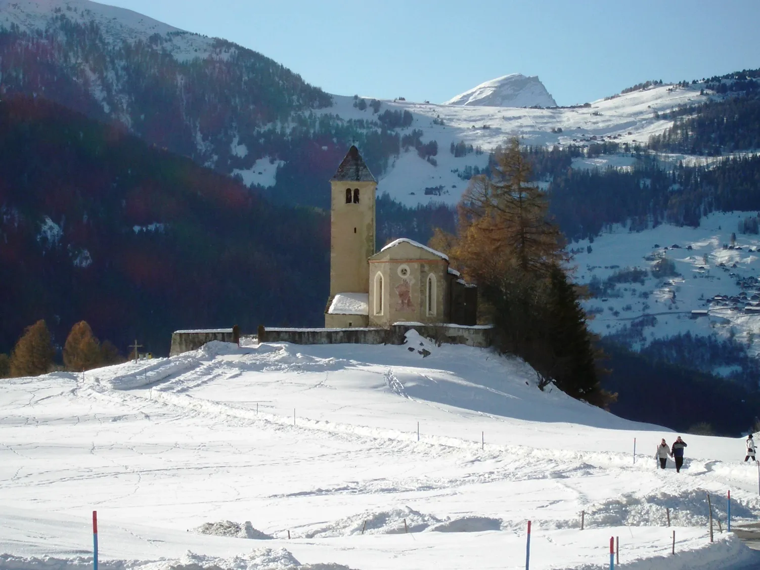
Flüelapass2383 mPrzełęcz górskaEmbark on a memorable journey through the Flüelapass and enjoy the panoramic views from the top.
81 km
81 km
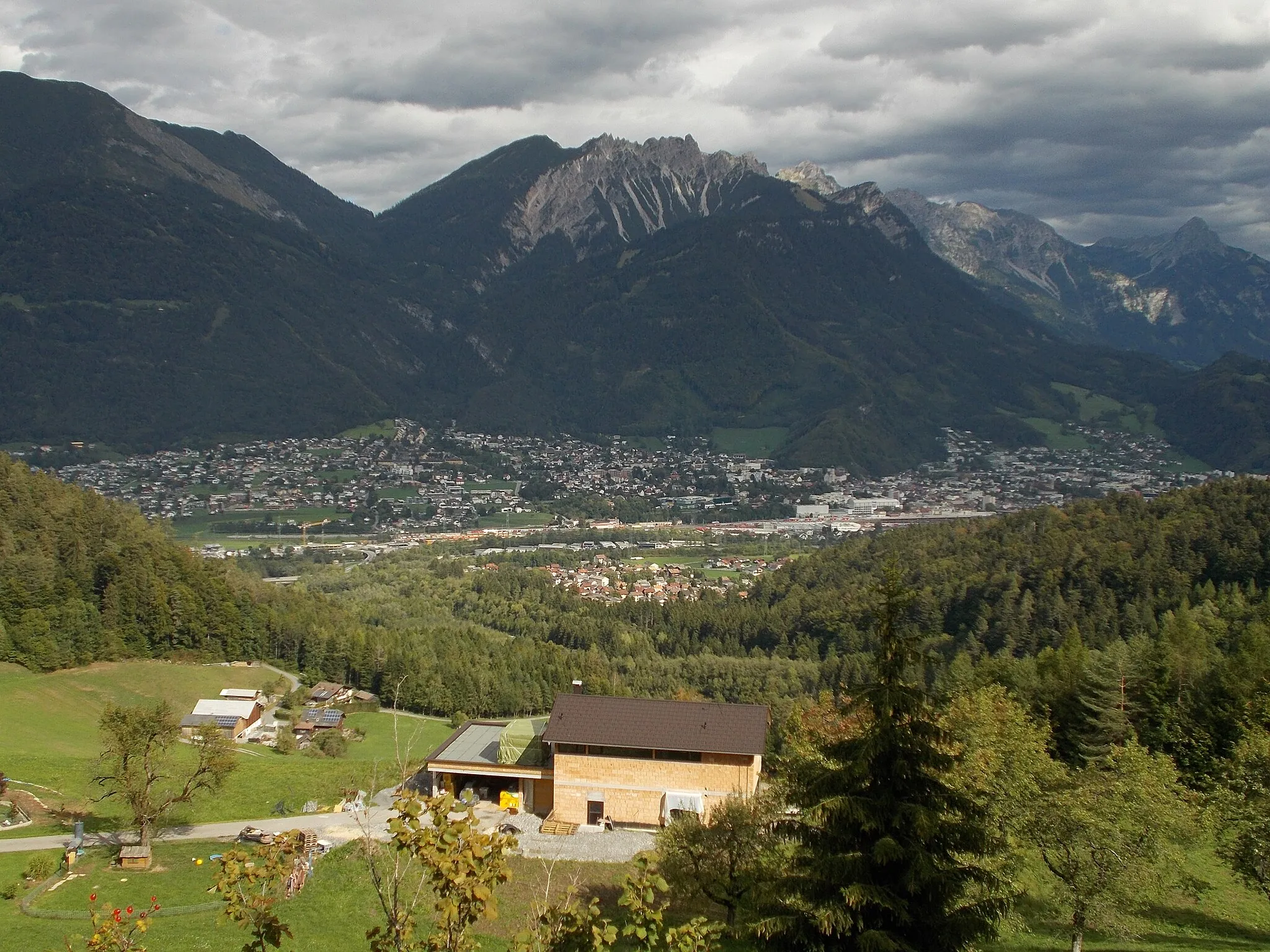
ZernezWioskaCycle through the stunning landscapes of Zernez and soak in the natural beauty of the region.
95 km
95 km
S-chanfWioskaVisit the charming town of S-chanf and discover its cultural attractions and historical landmarks.
105 km
105 km
Muntischè2605 mSzczytExperience the breathtaking Muntischè mountain pass and enjoy the sense of accomplishment at the summit.
124 km
124 km
Bergün/BravuognWioskaAdmire the scenic beauty of Bergün/Bravuogn and capture the stunning landscapes on camera.
132 km
132 km
FilisurWioskaExplore the charming town of Filisur and discover its hidden gems and cultural treasures.
133 km
133 km
Landwasserviadukt - Aussichtsplattform SüdWidokVisit the famous Landwasserviadukt - Aussichtsplattform Süd and marvel at the engineering marvel of the viaduct.
145 km
145 km
Lantsch/LenzWioskaCycle through the picturesque town of Lantsch/Lenz and enjoy the tranquil atmosphere of the region.
156 km
156 km
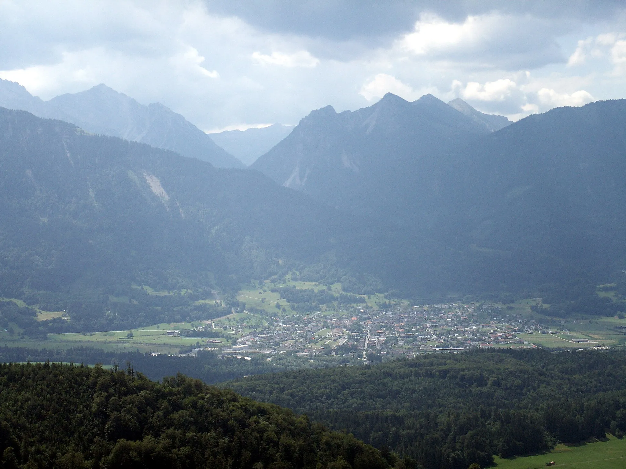
ChurwaldenWioskaDiscover the scenic town of Churwalden and explore its cultural attractions and historical landmarks.
167 km
167 km
ChurMiastoComplete your epic cycling expedition in the historic town of Chur and celebrate your achievement with a sense of pride.
173 km
173 km
Miejsce docelowe: Trimmis Village centerTrimmis: Różnorodne trasy rowerowe - zarówno szosowe, jak i górskie.
Trasy rowerowe z Trimmis:
Landquart - Ruine Alt-Aspermont Gravel Cycling Route Trasa gravelowa Trimmis Loop Trimmis - Zizers Road Cycling Route Trimmis - Chur Epic Road Cycling Expedition Tabor - Zizers Road Cycling Tour Trasa szosowa Domat/Ems Challenge Trimmis - Chur Road Cycling Adventure Trasa gravelowa Felsberg Circuit Trasa gravelowa Felsberg Adventure Trasa rowerowa Gravel wzdłuż Renu Szlak Gravelowy w okolicach Trimmis
Trasy rowerowe w okolicy: