Zürich - Laufenburg Road Cycling Expedition
Trasa rowerowa o rodzaju road rozpoczynająca się w miejscowości Dubendorf
Exciting road cycling route with 1876m ascent and 137km distance
Mapa
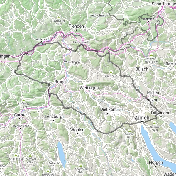
Embark on an epic road cycling expedition from Zürich to Laufenburg, conquering challenging ascents and diverse terrains along the way. Explore hidden gems like Oberwil and Birr, and enjoy the picturesque views of Künten and Schihalden. Immerse yourself in the rich history of Laufenburg (Baden) and Bad Zurzach on this unforgettable journey through the Swiss countryside.
road
137 km
1876 m
Wyrypa
Profil trasy
Najważniejsze punkty na trasie
0 km
0 km
Start: Dübendorf City centerDübendorf: Rowerowa oaza w okolicach Zurychu
Dübendorf to interesujące miejsce dla rowerzystów, oferujące wiele tras zarówno dla amatorów, jak i profesjonalistów. Można tu podziwiać piękne widoki i przepiękne krajobrazy. W okolicy znajdują się również znane podjazdy rowerowe, które przyciągają wielu pasjonatów kolarstwa.5 km
5 km
Zürichberg676 mSzczytEnjoy stunning panoramic views of Zürichberg and its lush greenery.
8 km
8 km
ZurichMiastoDiscover the vibrant city of Zürich with its historic landmarks and modern architecture.
22 km
22 km
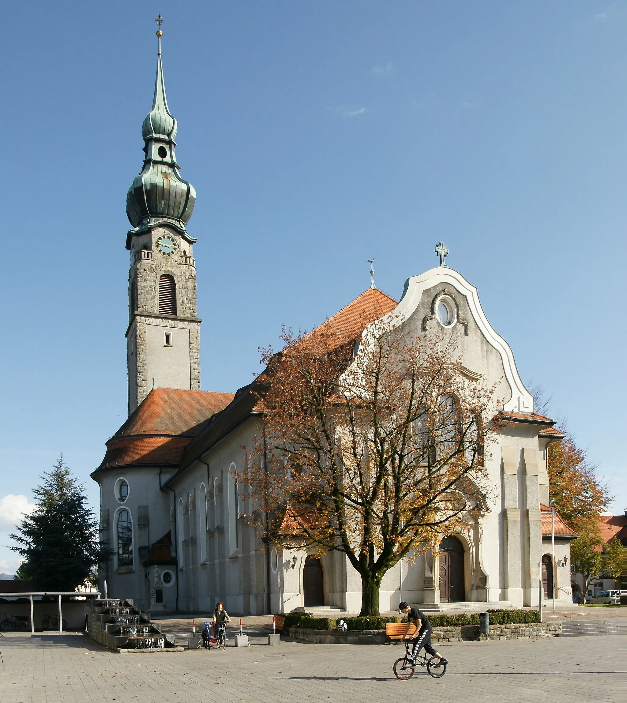
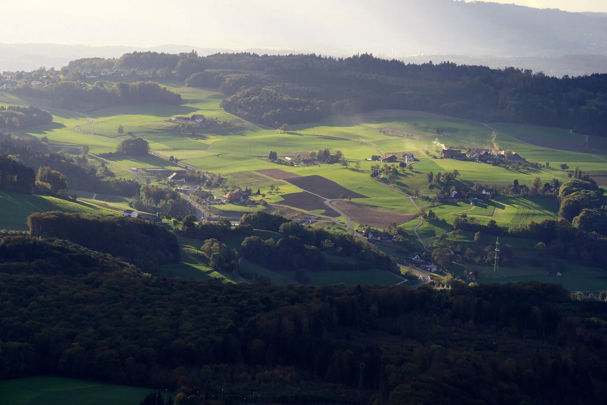
OberwilWioskaVisit the charming village of Oberwil and enjoy its traditional Swiss charm.
29 km
29 km
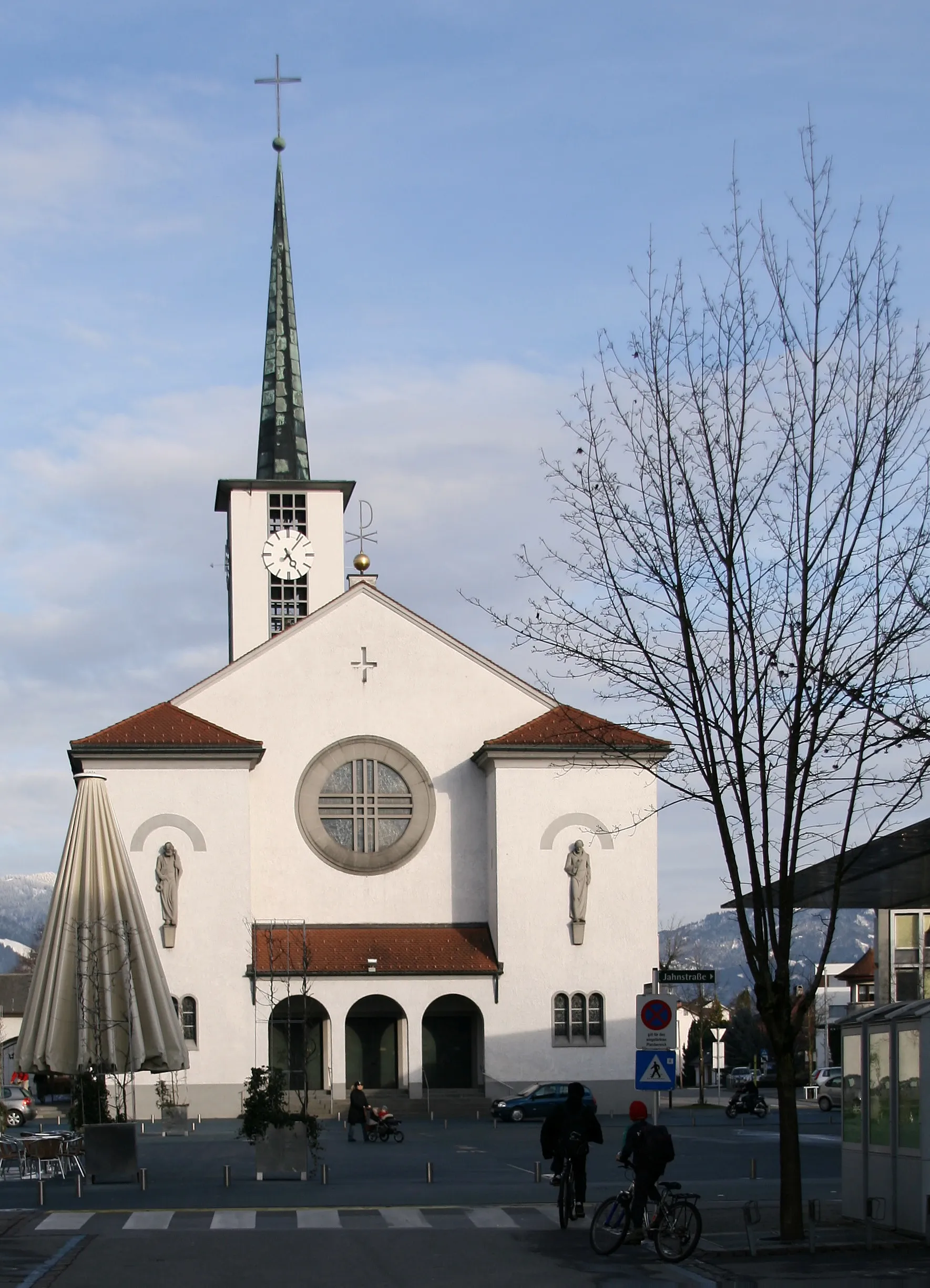
KüntenWioskaCycle through the historic town of Künten and explore its cultural heritage.
43 km
43 km
BirrWioskaAdmire the scenic village of Birr and capture the essence of Swiss countryside.
53 km
53 km
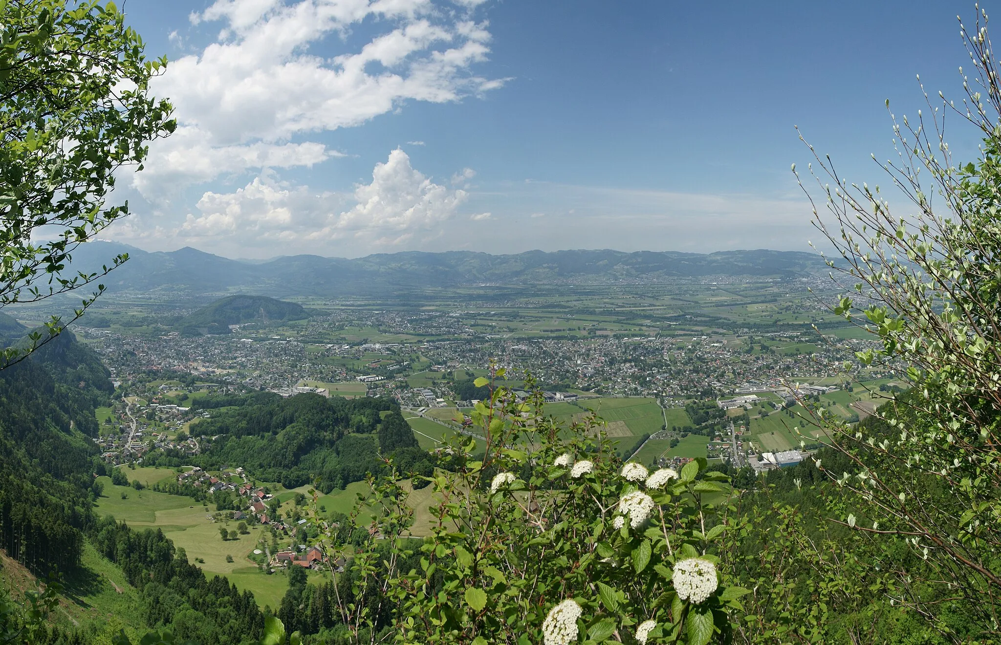
SchihaldenWidokSoak in the panoramic views from the Schihalden viewpoint and revel in the beauty of nature.
72 km
72 km
Hans-Thoma-BlickWidokExperience the breathtaking panoramas from the Hans-Thoma-Blick viewpoint and capture unforgettable moments of your cycling adventure.
73 km
73 km
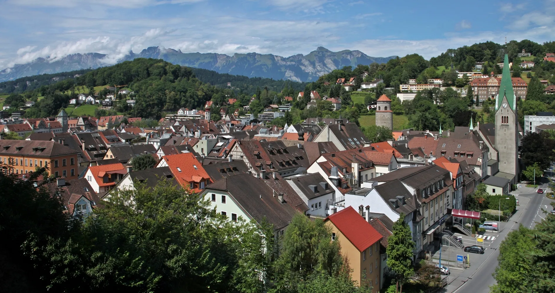
Laufenburg (Baden)MiastoImmerse yourself in the rich history of Laufenburg (Baden) and explore its cultural landmarks.
96 km
96 km
Bad ZurzachWioskaDiscover the hidden gems of Bad Zurzach and witness the traditional Swiss way of life.
105 km
105 km
Belchen526 mPrzełęcz górskaCycle through the quaint village of Belchen and add a touch of adventure to your journey.
107 km
107 km
FisibachWioskaEnjoy a leisurely ride through the serene village of Fisibach and embrace the tranquility of nature.
115 km
115 km
Heitlig516 mPrzełęcz górskaVisit the charming village of Heitlig and discover its hidden treasures along the way.
126 km
126 km
RümlangWioskaExperience the picturesque town of Rümlang and marvel at its unique Swiss architecture.
135 km
135 km
FöhrlibuckWidokSoak in the breathtaking views from the Föhrlibuck viewpoint and capture unforgettable memories of your cycling adventure.
135 km
135 km
AquariumAtrakcjaExplore the fascinating Aquarium viewpoint and witness the diverse marine life of the Swiss waters.
137 km
137 km
Miejsce docelowe: Dübendorf City centerDübendorf: Rowerowa oaza w okolicach Zurychu
Trasy rowerowe z Dubendorf:
Trasa gravelowa nr 3 w okolicach Dübendorf Bassersdorf - Pfäffikersee Tour Trasa gravelowa w okolicach Dübendorf Pętla rowerowa przez Dübendorf Trasa gravelowa w okolicach Dübendorf Bassersdorf - Winterthur Gravel Adventure Trasa w okolicach Dübendorf Zürich - Laufenburg Road Cycling Expedition Trasa road w okolicach Dübendorf Zürich - Chrüzliberg Loop Trasa Gravelowa Wangen-Landsberg Trasa Górska Hönggerberg-Föhrlibuck Trasa Widokowa Bassersdorf-Winterthur Trasa Wycieczkowa Zürich- Baden Trasa Uster-Adlisberg Trasa rowerowa Wangen - Uster
Trasy rowerowe w okolicy: