Trasa przez malownicze tereny i historyczne miejsca
Trasa rowerowa o rodzaju road rozpoczynająca się w miejscowości Marthalen
Podziwiaj piękne krajobrazy i odkrywaj interesujące zabytki podczas tej urozmaiconej trasy rowerowej.
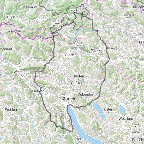
Mapa
Ta trasa oferuje niezapomniane widoki na malownicze tereny i historyczne miejsca, idealne dla miłośników przyrody i historii. Podczas jazdy będziesz mijać urocze wsie i zabytkowe obiekty, zapewniając ciekawe doświadczenia. To trasa, która zachwyci każdego miłośnika aktywnego wypoczynku.
road
130 km
1856 m
Trudna
Profil trasy
Najważniejsze punkty na trasie
0 km
0 km
Start: Marthalen Village centerMarthalen: Cycling paradise in Marthalen
Marthalen to malownicza miejscowość w regionie Zürich, będąca idealnym punktem startowym dla rowerzystów szosowych. W okolicy znajdują się liczne trasy o różnym stopniu trudności oraz liczne punkty widokowe, zapewniające niezapomniane wrażenia podczas jazdy. Można tu również zwiedzić pobliskie winnice i degustować lokalne wina.12 km
12 km
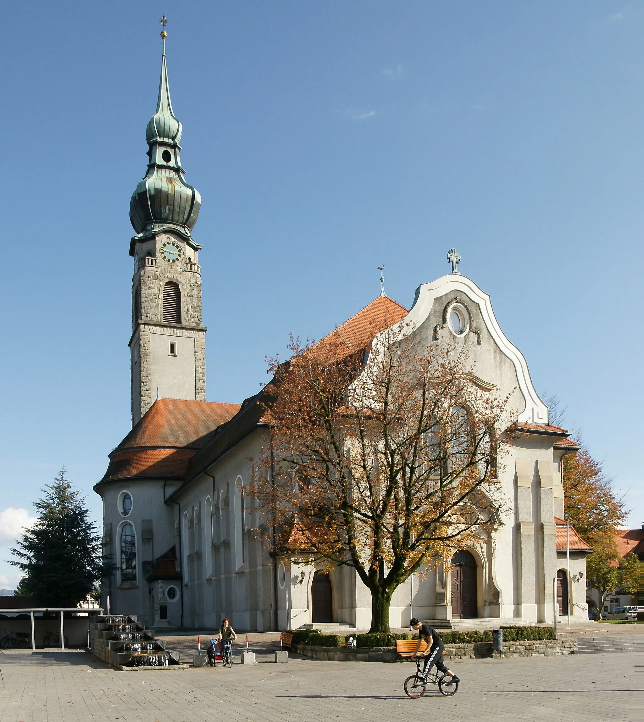
HettlingenWioskaCharming village surrounded by lush greenery and scenic landscapes.
28 km
28 km
Hackenberg548 mSzczytHistoric hill offering panoramic views of the surrounding countryside.
34 km
34 km
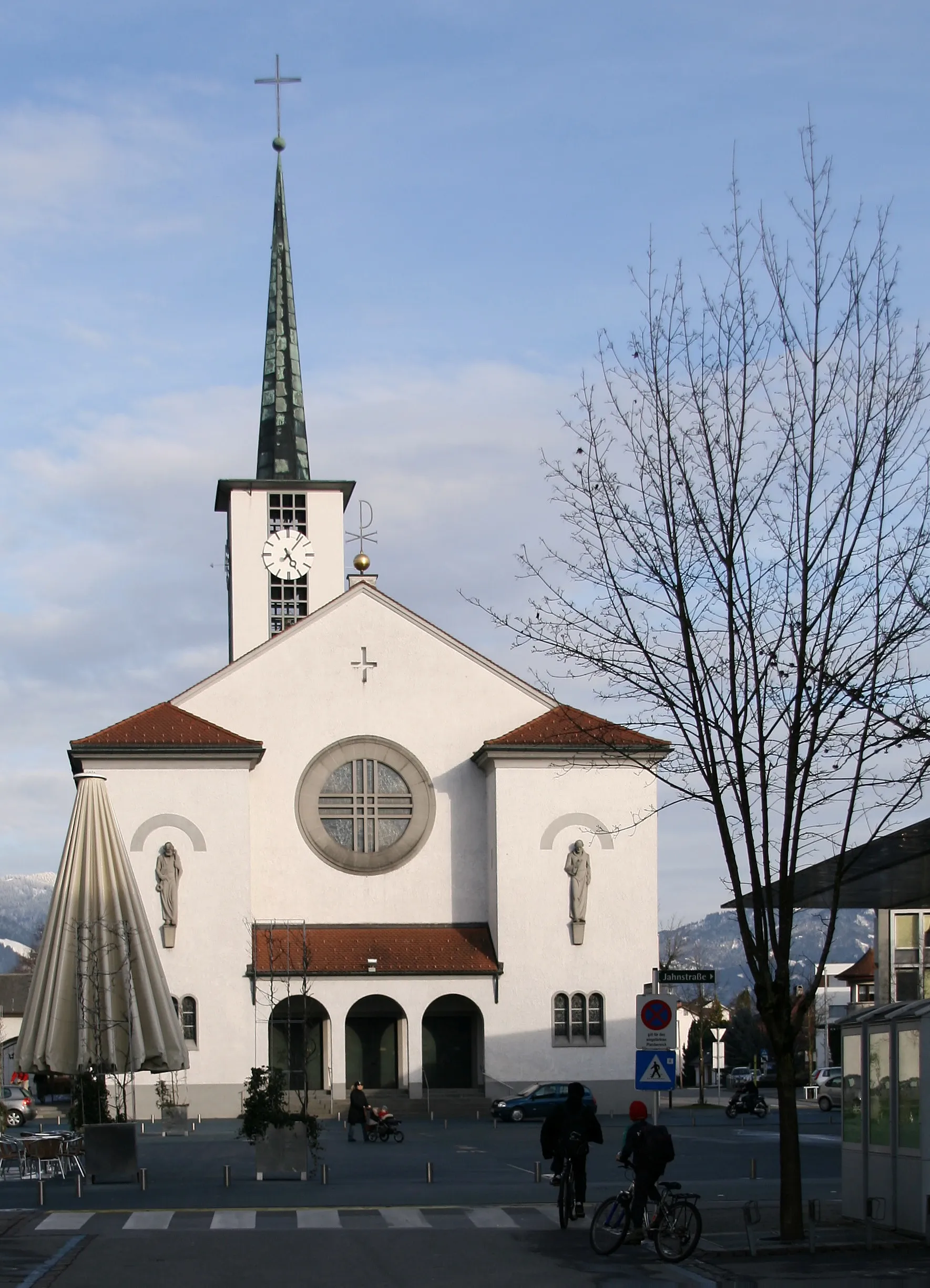
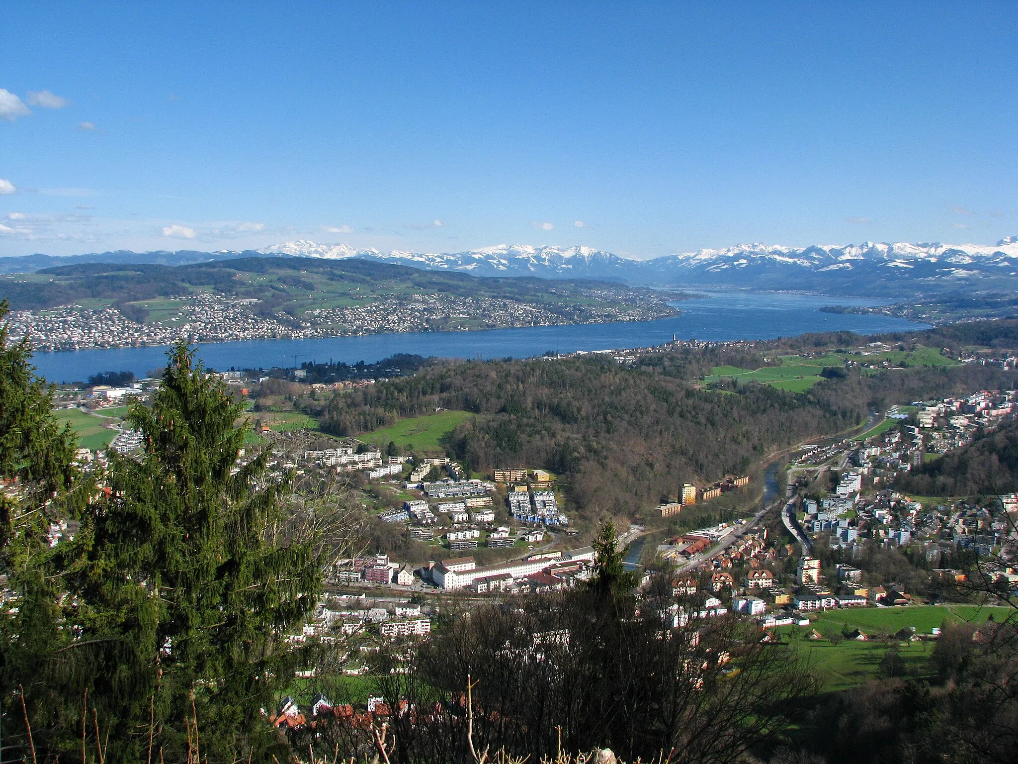
SchwerzenbachWioskaQuaint town with traditional Swiss architecture and cozy cafes.
45 km
45 km
QuaibrückeWidokIconic bridge spanning the river with stunning views of the city skyline.
57 km
57 km
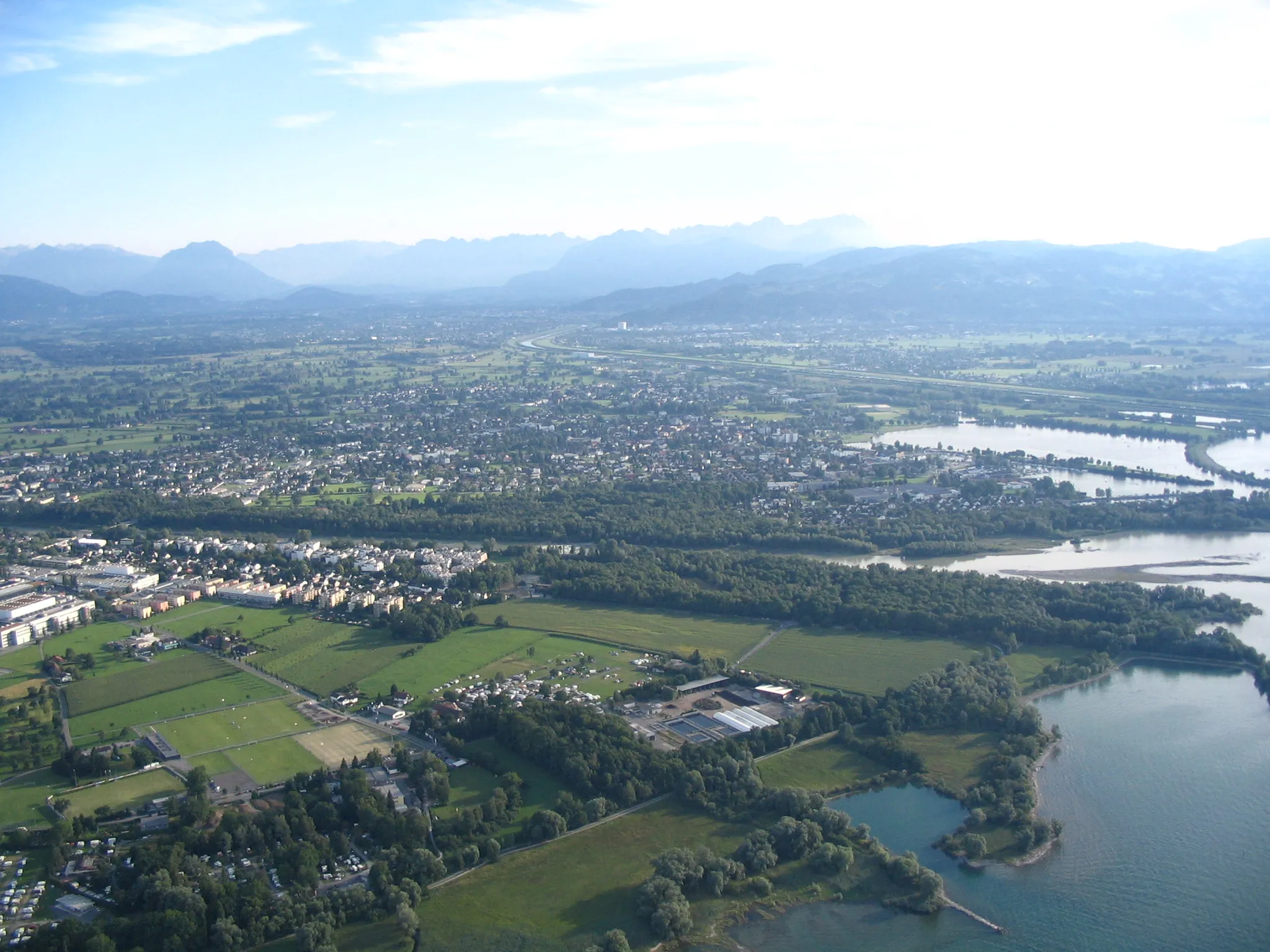
LangnauWioskaScenic area with rolling hills and picturesque landscapes.
66 km
66 km
BonstettenWioskaHistoric town with charming streets and traditional Swiss charm.
80 km
80 km
Hasleren583 mSzczytPicturesque village surrounded by lush forests and rolling hills.
97 km
97 km
Heitlig516 mPrzełęcz górskaCharming hamlet with traditional Swiss architecture and friendly locals.
100 km
100 km
StadelWioskaHistoric village with cobblestone streets and historic buildings.
110 km
110 km
HüntwangenWioskaQuaint town known for its traditional Swiss architecture and vibrant atmosphere.
117 km
117 km
Schneehenberg495 mSzczytScenic area with rolling hills and picturesque landscapes.
130 km
130 km
MarthalenWioskaPicturesque village with traditional Swiss architecture and friendly locals.
130 km
130 km
Miejsce docelowe: Marthalen Village centerMarthalen: Cycling paradise in Marthalen
Trasy rowerowe z Marthalen:
Trasa z Neftenbach do Marthalen Trasa przez wysokie szczyty Alp Trasa z Aussichtsturm Vorderhütten do Ossingen Trasa przez Marthalen i okolice Trasa przez malownicze tereny i historyczne miejsca Malownicza trasa przez rzeki i góry Pętla Gravelowa przez Marthalen Trasa Gravelowa przez Tasgetium Trasa z Marthalen do Oerlingen przez Philippsberg Trasa przez urokliwe wsie i zabytki
Trasy rowerowe w okolicy: