Kogel Adventure Loop
A road cycling route starting from Hausmening
Embark on an adventurous journey to the summit of Kogel Mountain
Map
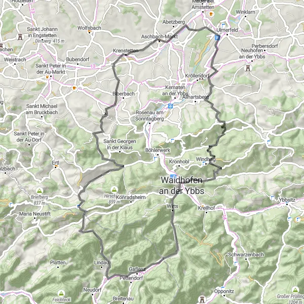
The Kogel Adventure Loop is a thrilling round-trip cycling route near Hausmening in Niederösterreich, Austria. This 74-kilometer route features challenging terrains, including a total ascent of 1523 meters. It is recommended for experienced cyclists seeking an adrenaline-pumping adventure. The route is rated 4 out of 5 in terms of epicness, thanks to the majestic mountain landscapes and picturesque villages along the way. Highlights include the Hexenturm (Witch Tower), Kogel Mountain, Krautbergkreuz, Gaflenz, Blümelsberg, and Aschbach-Markt. These highlights offer captivating views, historical attractions, and a chance to immerse in the local culture.
road
74 km
1523 m
Tough
Route profile
Highlights on the route
0 km
0 km
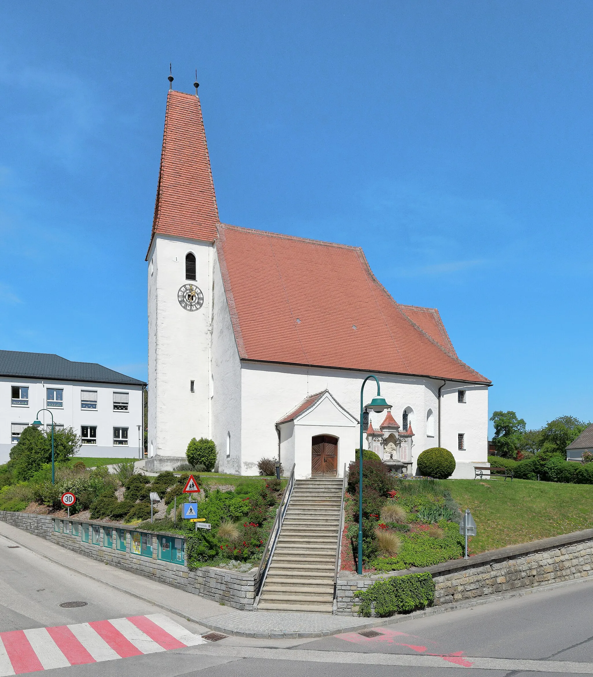
Start: Hausmening Village centerHausmening: Adventurous cycling and rich heritage in Hausmening, Austria
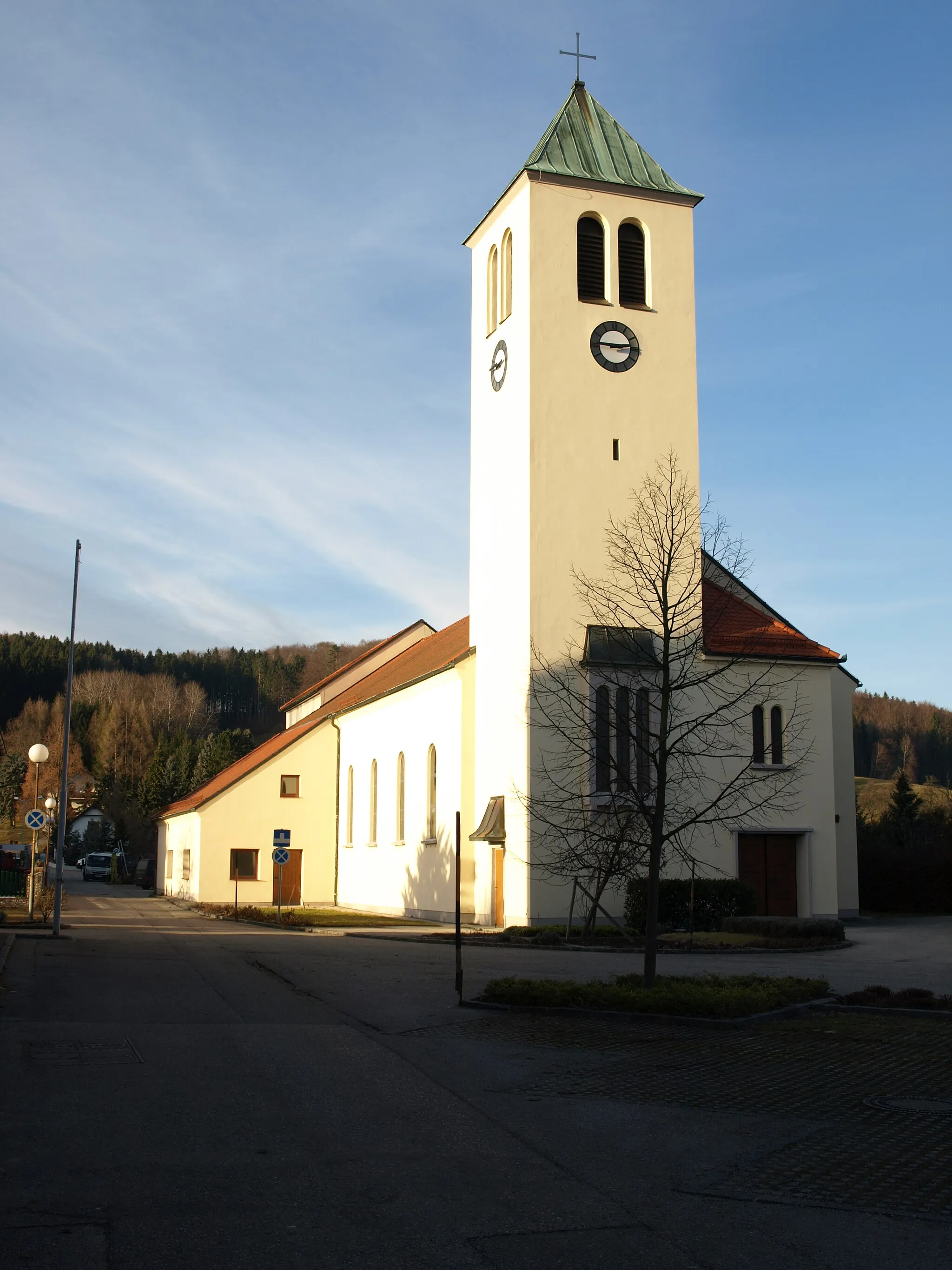
Hausmening, located in Niederösterreich, Austria, is a cyclist's paradise. The locality features stunning bike paths and challenging climbs that cater to all skill levels. Popular cycling routes in the region include the breathtaking Alpine Loop and the Danube Cycle Path. With its beautiful scenery and well-maintained roads, Hausmening is a popular destination for road cyclists. Additionally, the region is known for its stunning castles and historic sites, offering a unique cultural experience alongside cycling adventures.0 km
0 km
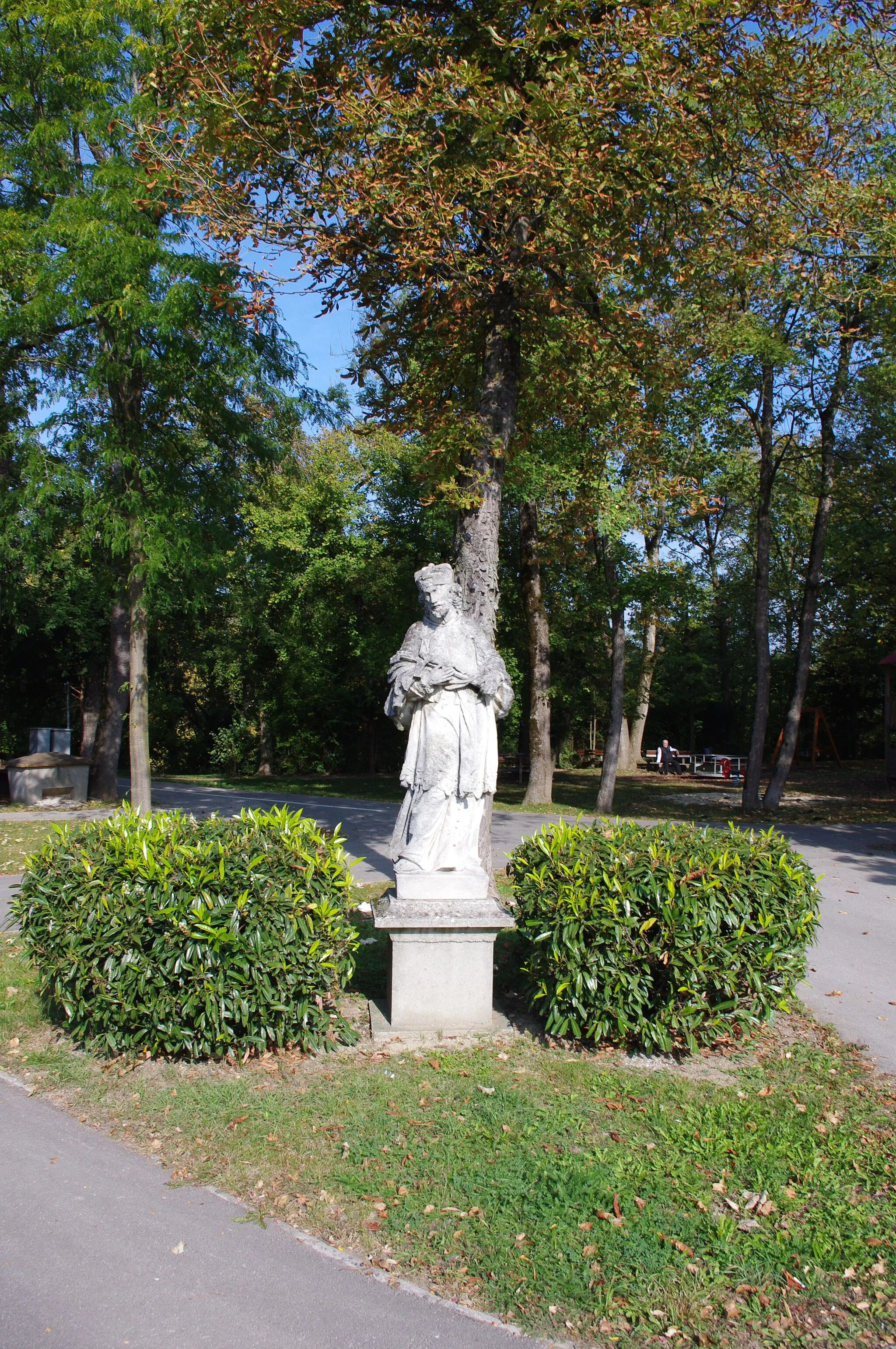
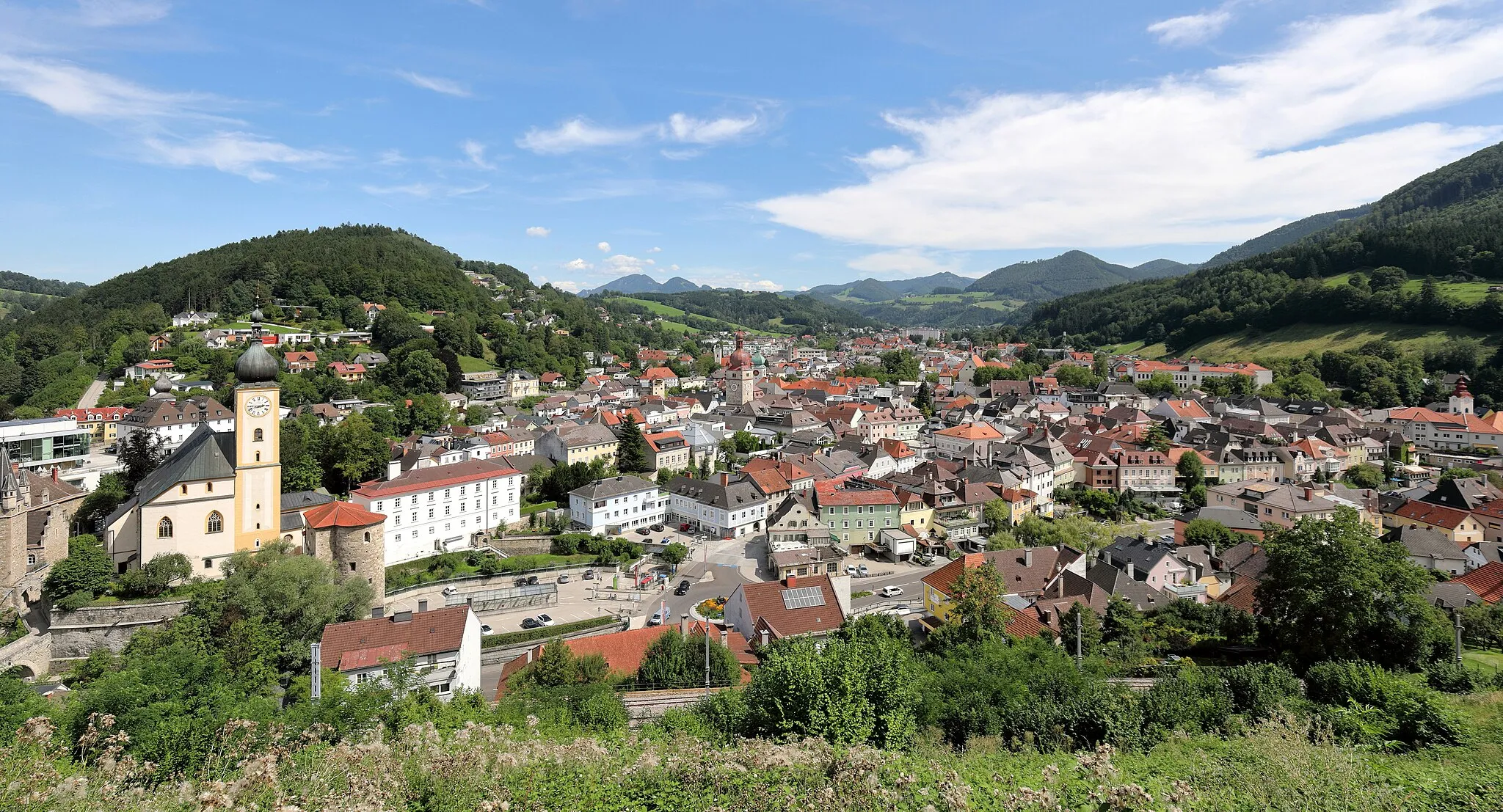
HexenturmCastle RuinsThe Hexenturm (Witch Tower) marks the start of the Kogel Adventure Loop and offers a panoramic view of the surrounding landscape.
9 km
9 km
Kogel712 mPeakKogel Mountain is the highest point along the route. Cyclists can challenge themselves and enjoy stunning views from the summit.
22 km
22 km
KrautbergkreuzViewpointKrautbergkreuz is a cross monument located on a hilltop. It serves as a popular lookout point with sweeping views of the scenic countryside.
32 km
32 km
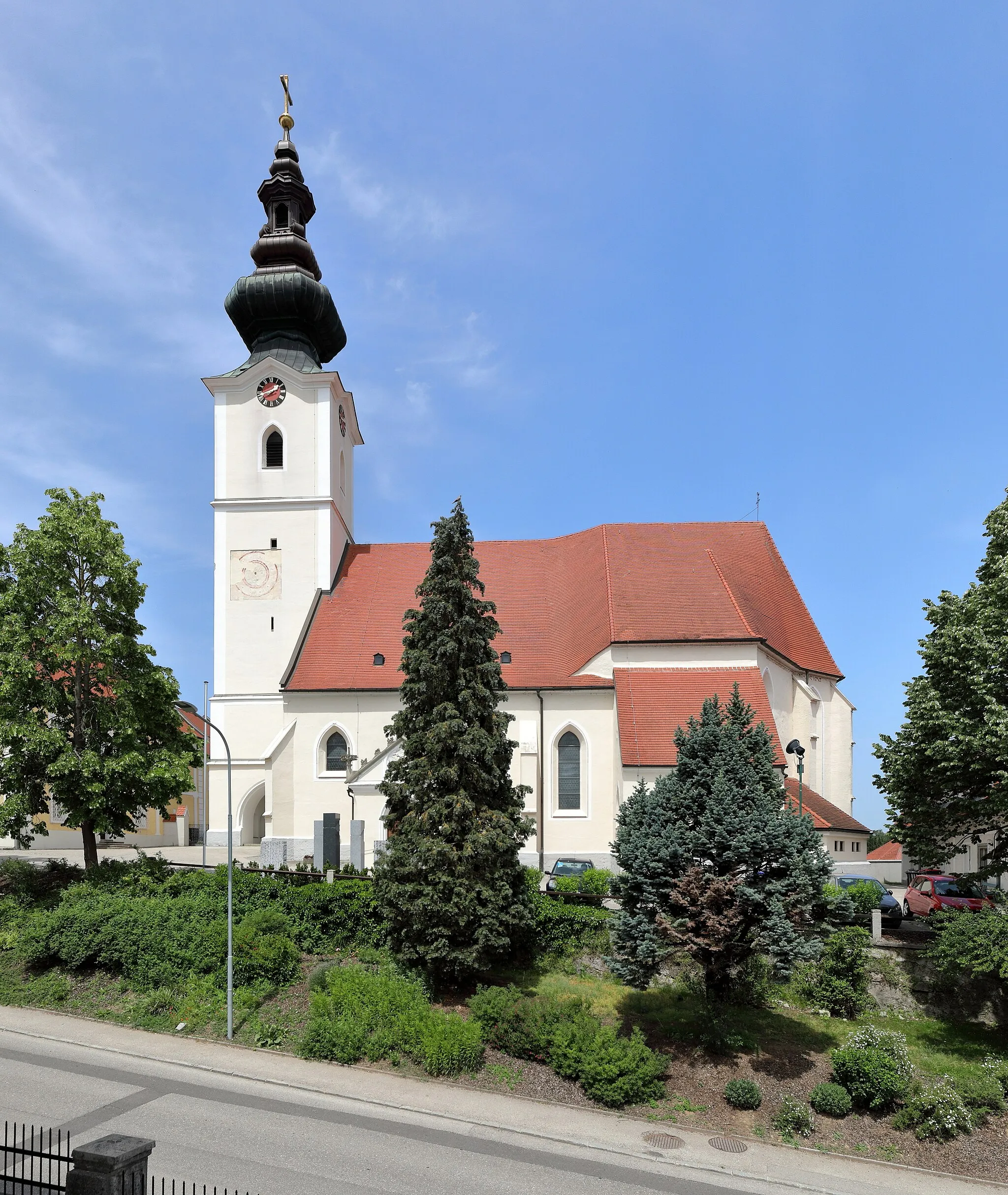
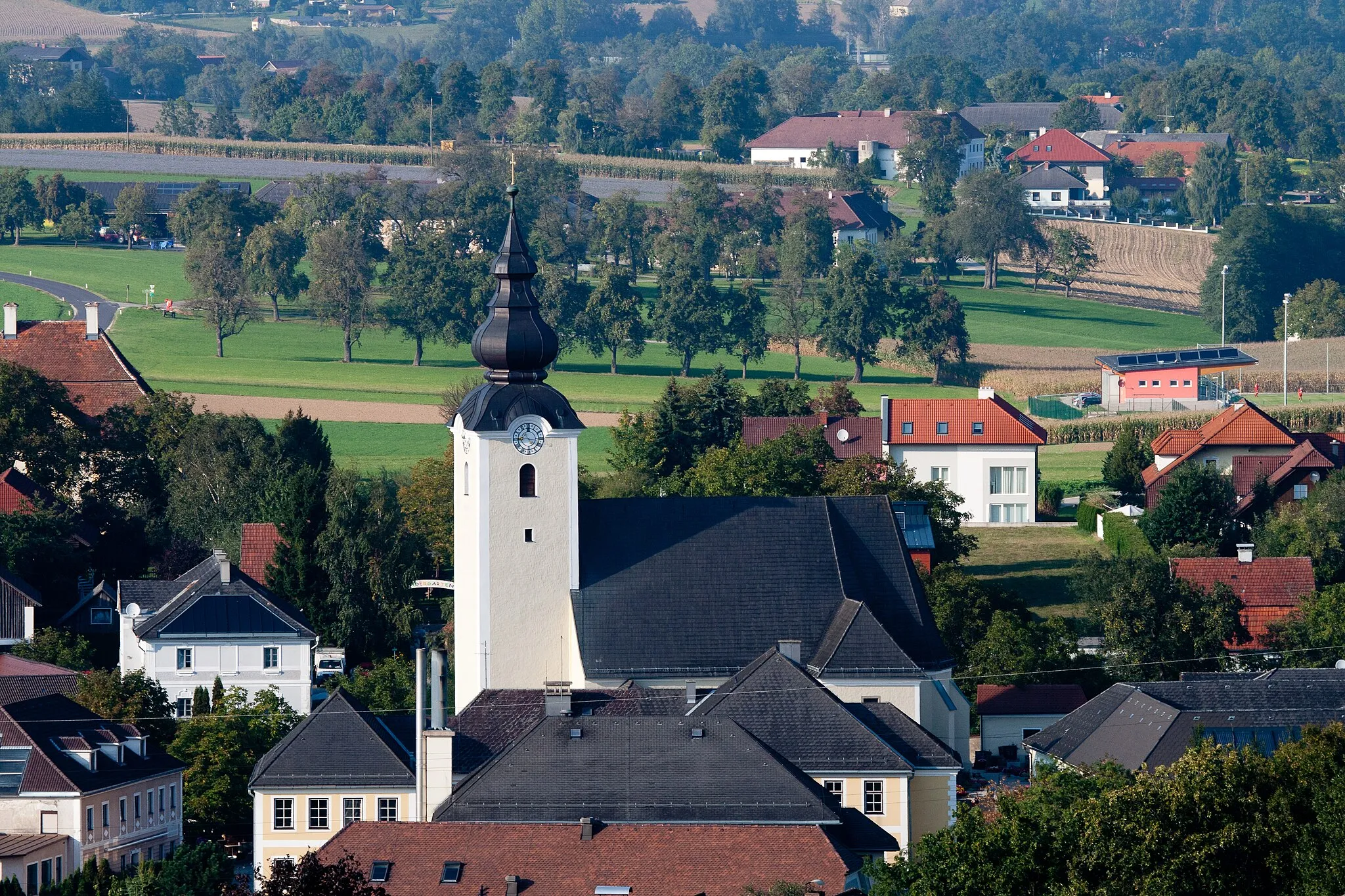
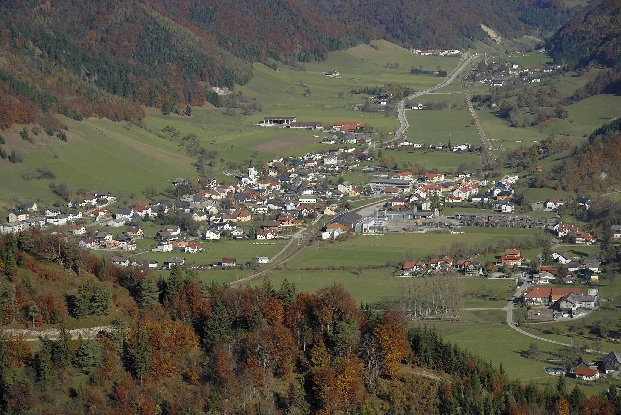
GaflenzVillageGaflenz is a picturesque village known for its charming architecture. Cyclists can explore its historic buildings and enjoy local delicacies.
57 km
57 km
Blümelsberg527 mPeakBlümelsberg is a scenic spot with panoramic views. Cyclists can take a break and enjoy a picnic surrounded by nature.
68 km
68 km
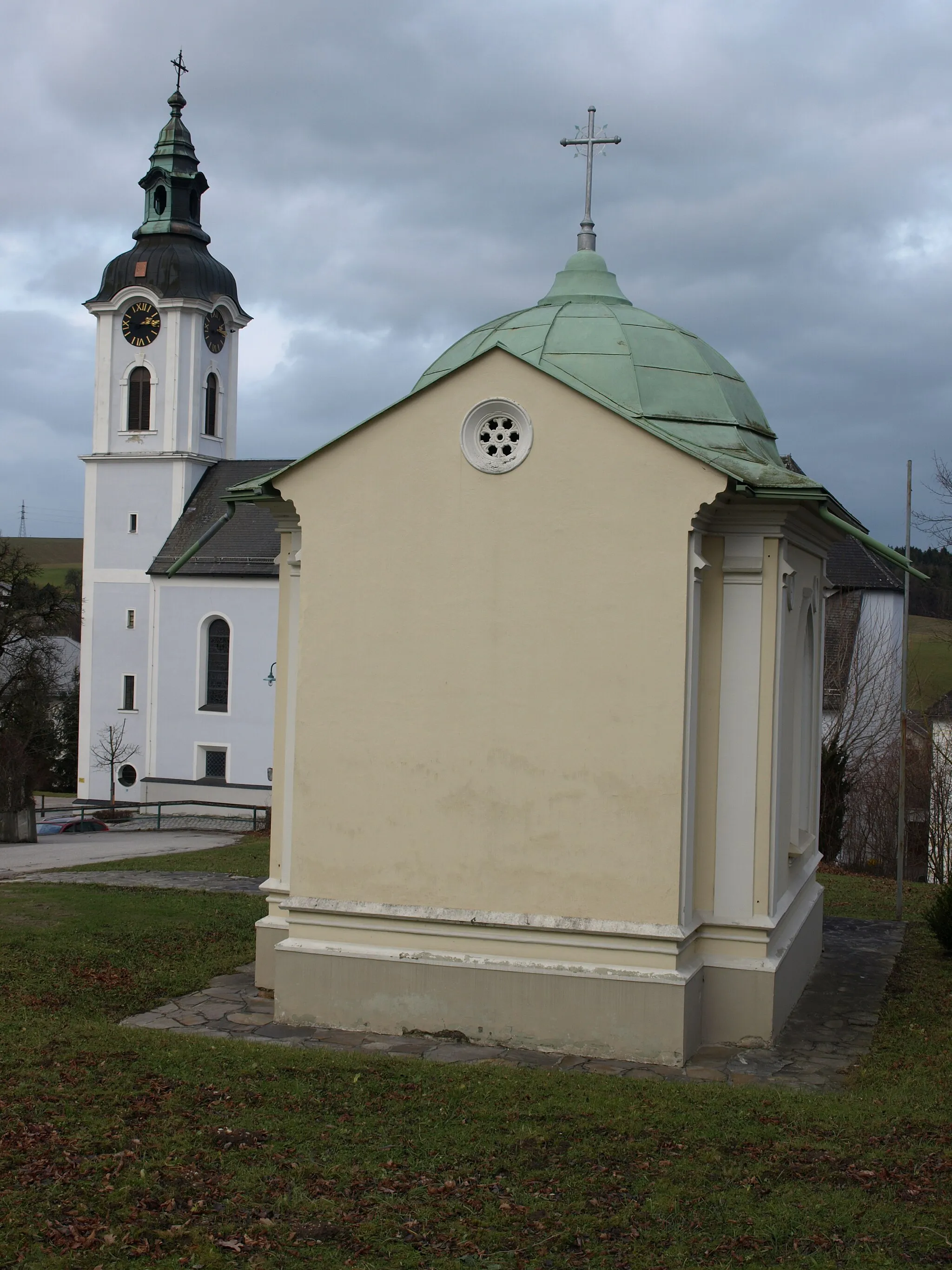
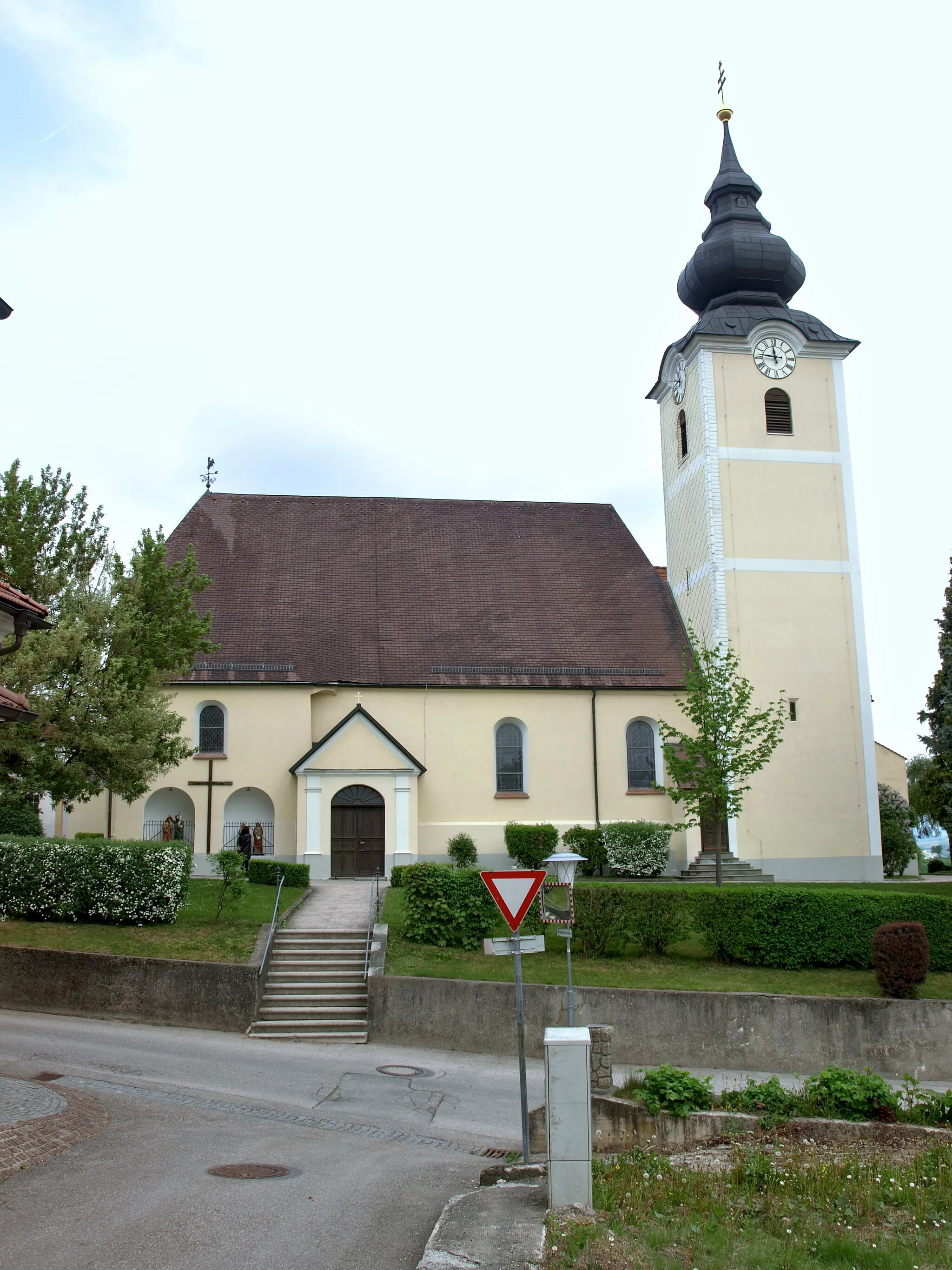
Aschbach-MarktVillageAschbach-Markt is a quaint market town with a rich history. Cyclists can visit its various landmarks, including St. Florian Church.
74 km
74 km
Finish: Hausmening Village centerHausmening: Adventurous cycling and rich heritage in Hausmening, Austria
Cycling routes nearby: