Krems Circular Gravel Route
A gravel cycling route starting from Krems an der Donau
Explore the picturesque landscapes of Krems on this beautiful gravel route.
Map
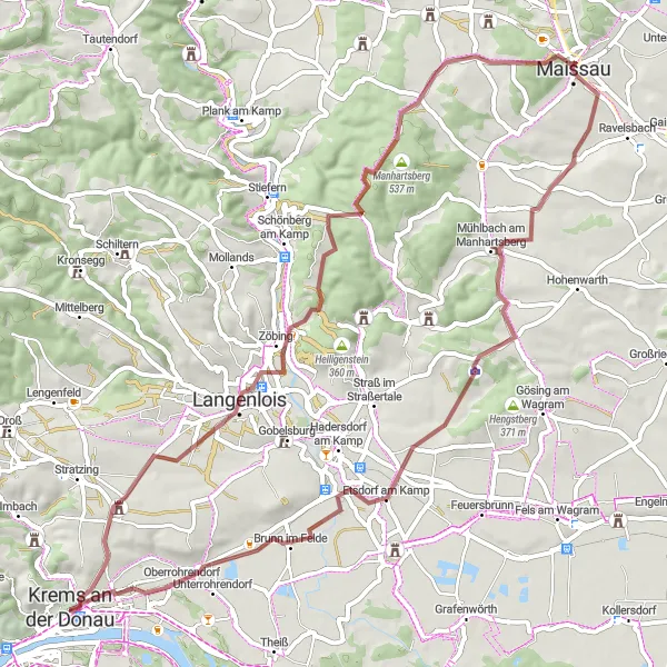
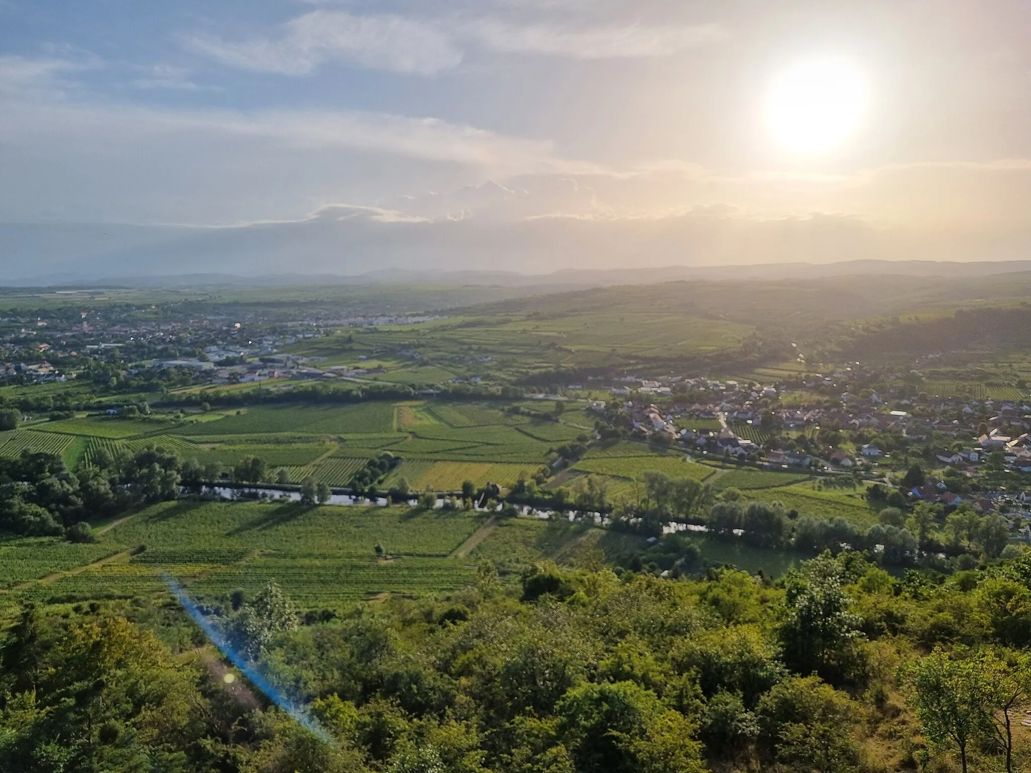
This 63 km long circular gravel route near Krems offers stunning views of the countryside as you ride through charming little towns and vineyards. With a moderate ascent of 764 meters, the route provides a good challenge for amateur cyclists. The overall difficulty of the route is rated at 3 out of 5, making it suitable for well-trained amateurs. The trail takes you past several highlights, including the Simandlbrunnen fountain and the historic Steiner Tor gate in Krems.
gravel
63 km
764 m
Tough
Route profile
Highlights on the route
0 km
0 km
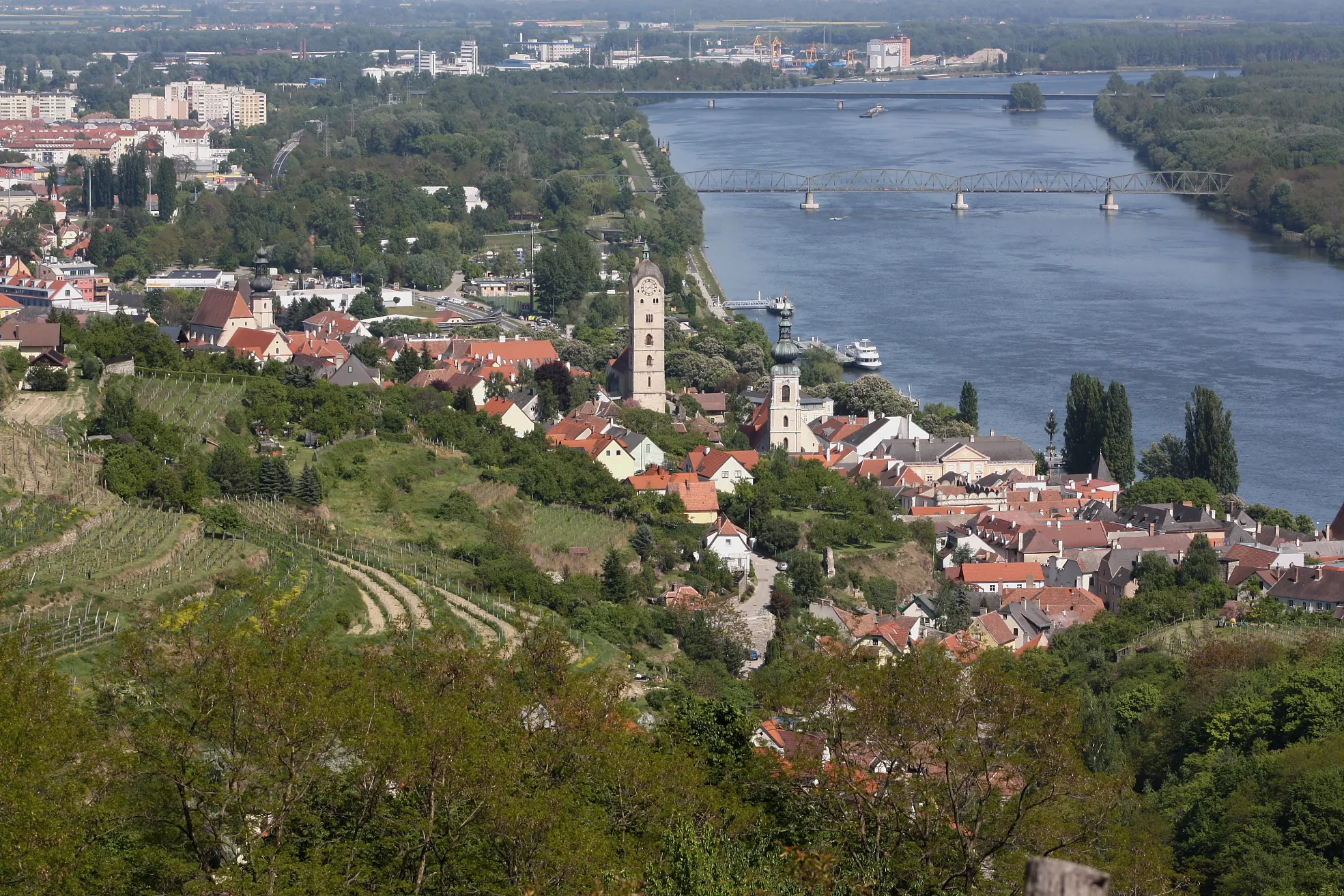
Start: Krems an der Donau City centerKrems an der Donau: Discover the beauty of the Wachau Valley on two wheels.
Krems an der Donau is a charming town located in the Niederösterreich region of Austria. As a cyclist, you'll find plenty of options for both road and gravel cycling in and around Krems. The region boasts well-maintained cycling paths that take you along the scenic Danube river and through vineyards. One popular cycling route is the Wachau Valley, known for its stunning landscapes and sightseeing opportunities. In addition, Krems is home to the famous Kloster Und peak, a challenging climb that attracts cyclists from all over. With its cycling-friendly infrastructure and breathtaking scenery, Krems an der Donau is a fantastic destination for cyclists of all levels.0 km
0 km
SimandlbrunnenAttractionMake a stop at the Simandlbrunnen fountain, where you can take a rest while enjoying the beautiful surrounding views.
13 km
13 km
KamptalwarteViewpointVisit the Kamptalwarte observation point for panoramic views of the Kamptal region.
21 km
21 km
Eichkogel511 mPeakPass by Eichkogel, an impressive hill which provides a scenic backdrop to the route.
31 km
31 km
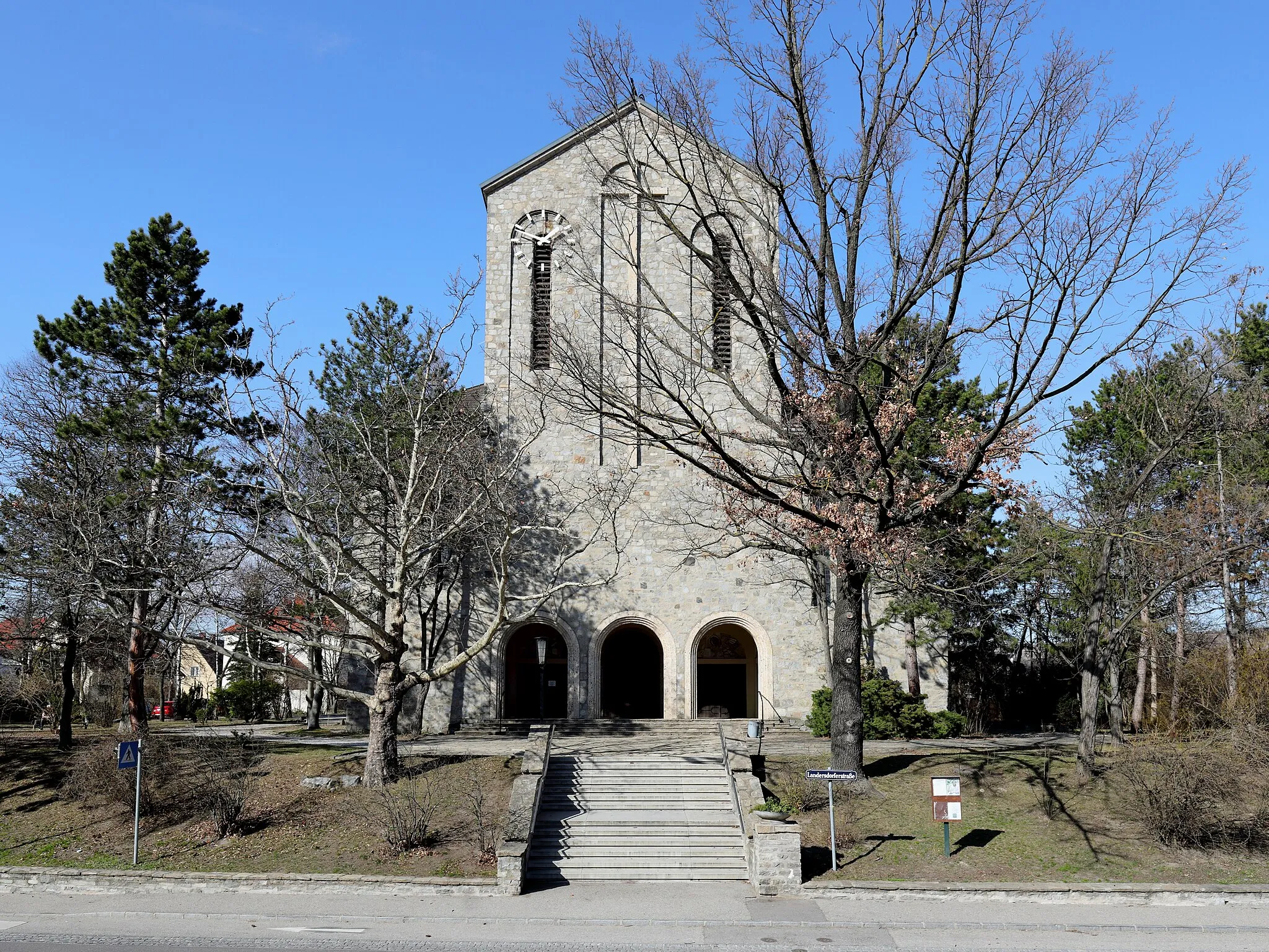
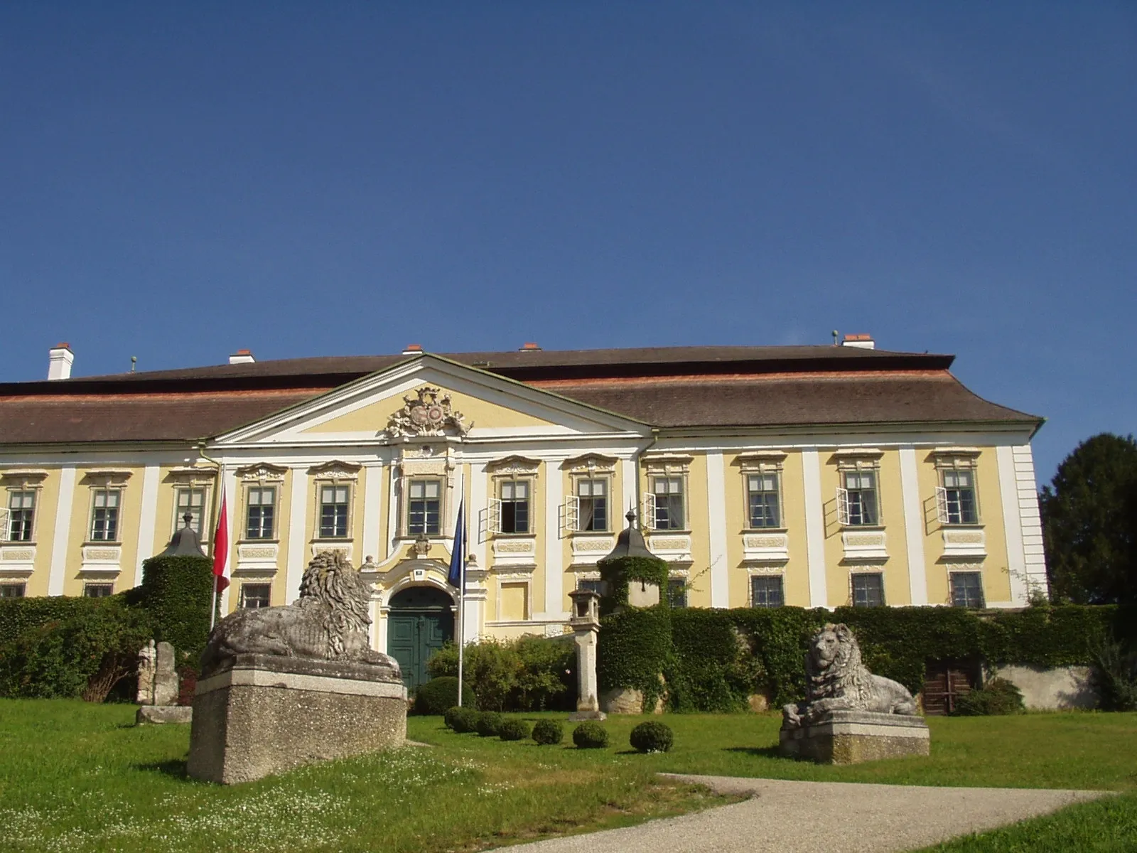
MaissauTownWhy not take a short detour to visit Maissau, a charming town known for its medieval castle and lovely architecture.
45 km
45 km
Fünfeckiger SteinAttractionDon't miss the Fünfeckiger Stein, a unique stone formation along the route that has historical significance.
55 km
55 km
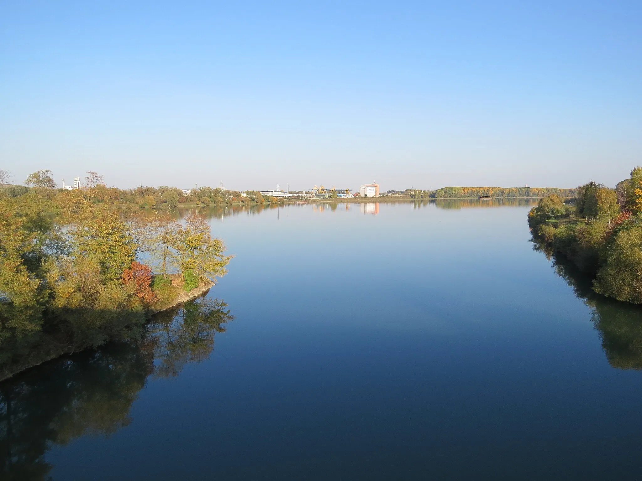
Brunn im FeldeVillageStop by Brunn im Felde, a small village surrounded by idyllic landscapes and vineyards.
63 km
63 km
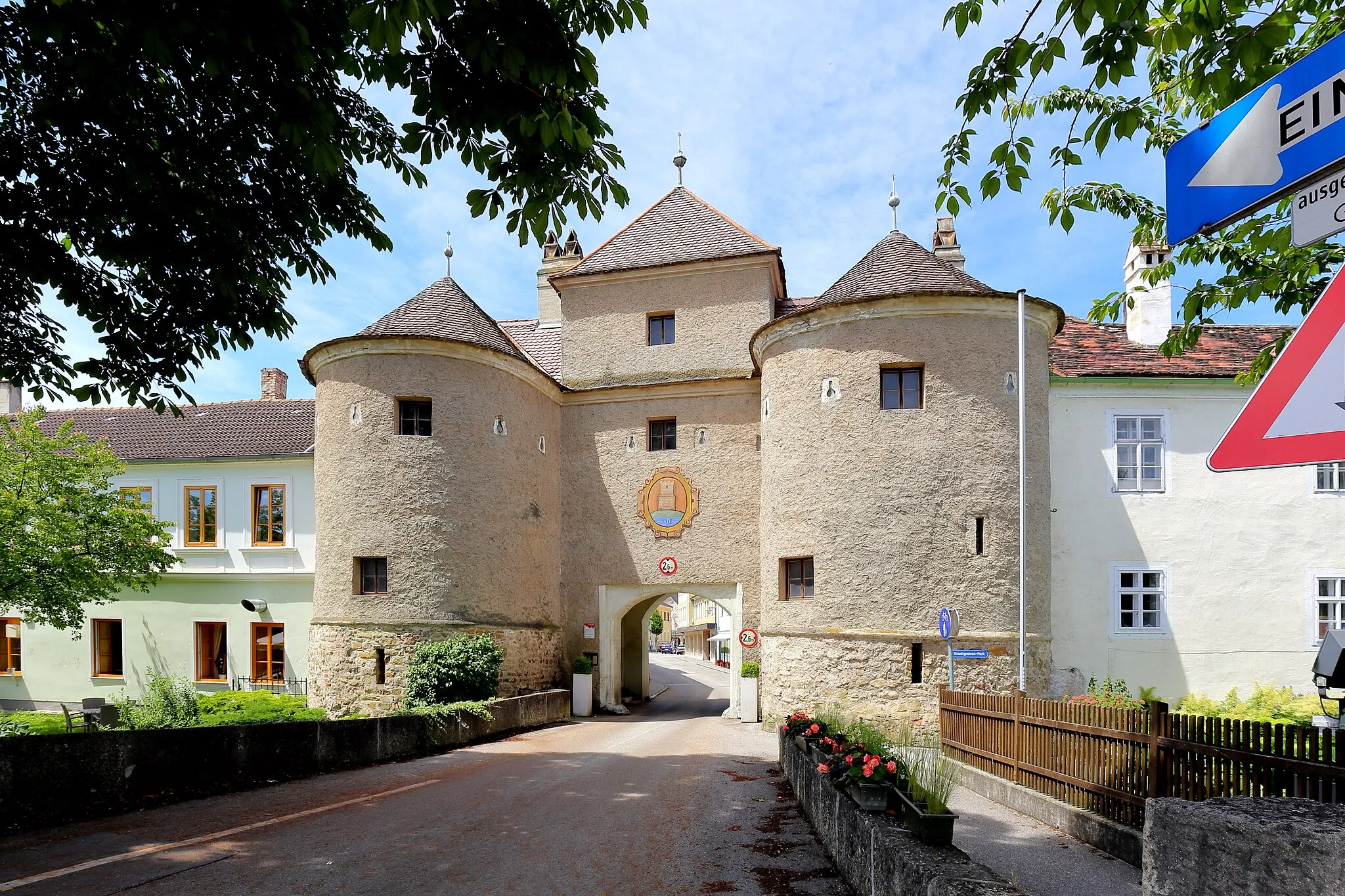
Steiner TorAttractionEnd your ride at the iconic Steiner Tor, a historic gate that marks the entrance to Krems.
63 km
63 km
Finish: Krems an der Donau City centerKrems an der Donau: Discover the beauty of the Wachau Valley on two wheels.
Cycling routes from Krems an der Donau:
Cycling routes nearby: