Steyr Valley Challenge
A road cycling route starting from Asten
A challenging ride through the Steyr Valley
Map
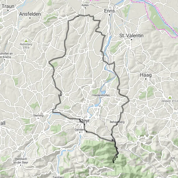
The Steyr Valley Challenge is a demanding cycling route that takes you through the scenic Steyr Valley in Upper Austria. With a total distance of 84 kilometers and a challenging ascent of 1,281 meters, this road cycling route is perfect for experienced and adventurous cyclists. The highlights of the tour include Kronstorf, Behamberg, Daxberg, Damberg, Steyr, Hofkirchen im Traunkreis, and Karl-Geisz-Straße.
road
84 km
1281 m
Savage
Route profile
Highlights on the route
0 km
0 km
Start: Weilling Village centerAsten: Varied Terrain Near the Danube River
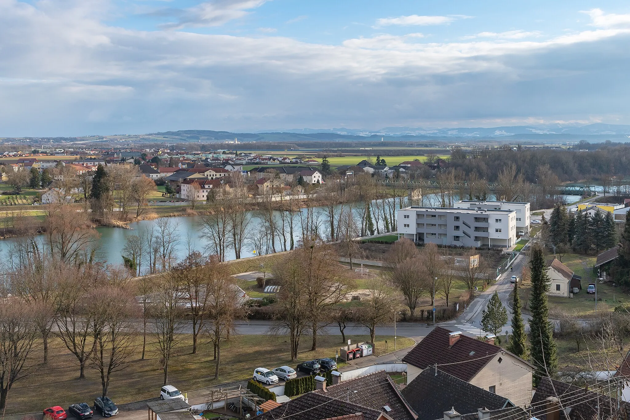
Asten, located in Oberösterreich, Austria, is a small town that offers plenty of cycling opportunities for enthusiasts. The region features a mix of flat fields and rolling hills, providing varied terrain for road and gravel cyclists. Asten is in close proximity to the Danube River, offering scenic routes along the water. Cyclists can take on challenging climbs in the nearby mountainous areas or embark on leisurely rides through picturesque villages. While not home to any famous cycling spots, Asten presents a cyclist-friendly environment and beautiful landscapes to explore. 13 km
13 km
KronstorfVillageKronstorf: Experience the stunning landscapes and traditional villages of Kronstorf.
31 km
31 km
BehambergVillageBehamberg: Enjoy the spectacular views from Behamberg overlooking the Steyr Valley.
31 km
31 km
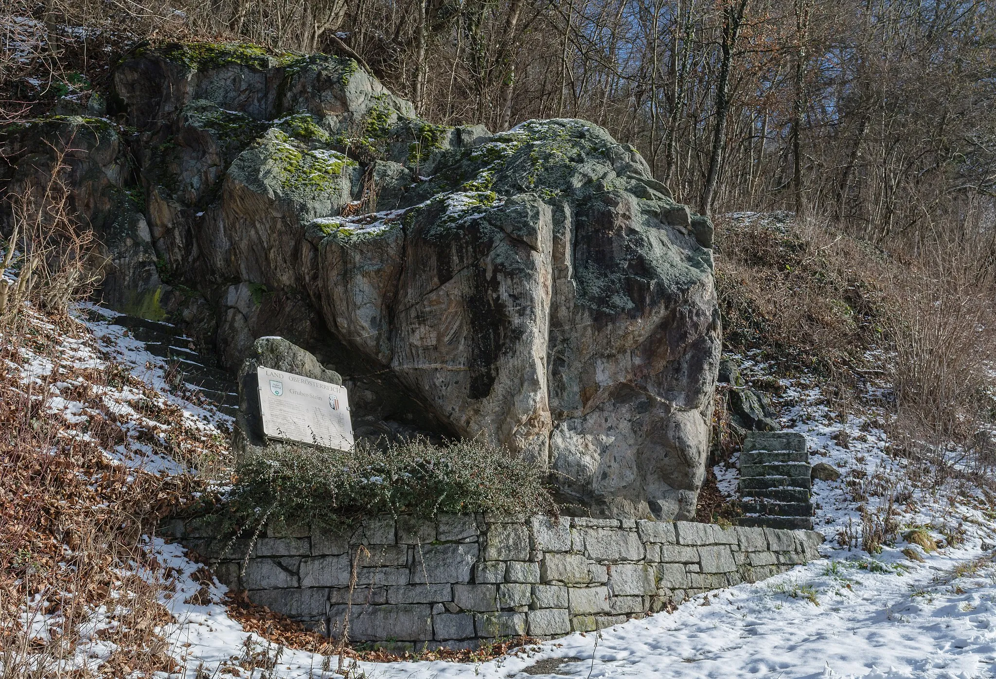
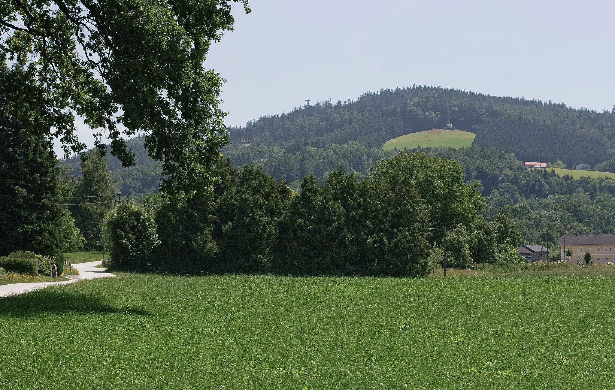
Daxberg595 mPeakDaxberg: Discover the peaceful atmosphere and beautiful nature of Daxberg.
48 km
48 km
Damberg811 mPeakDamberg: Visit the idyllic village of Damberg and admire the charming architecture.
54 km
54 km
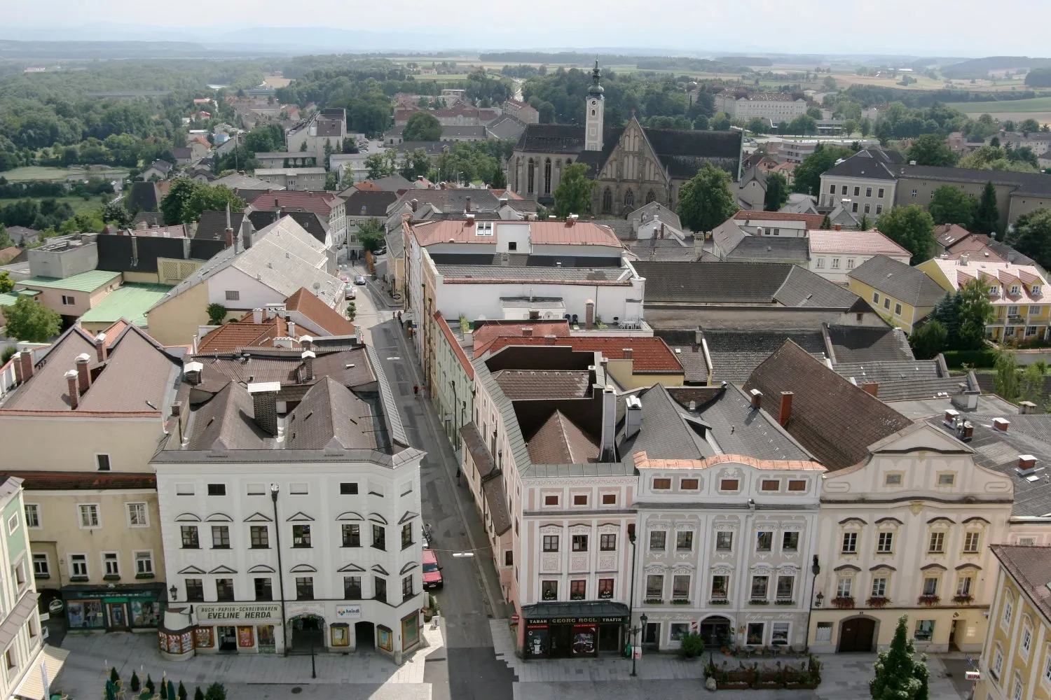
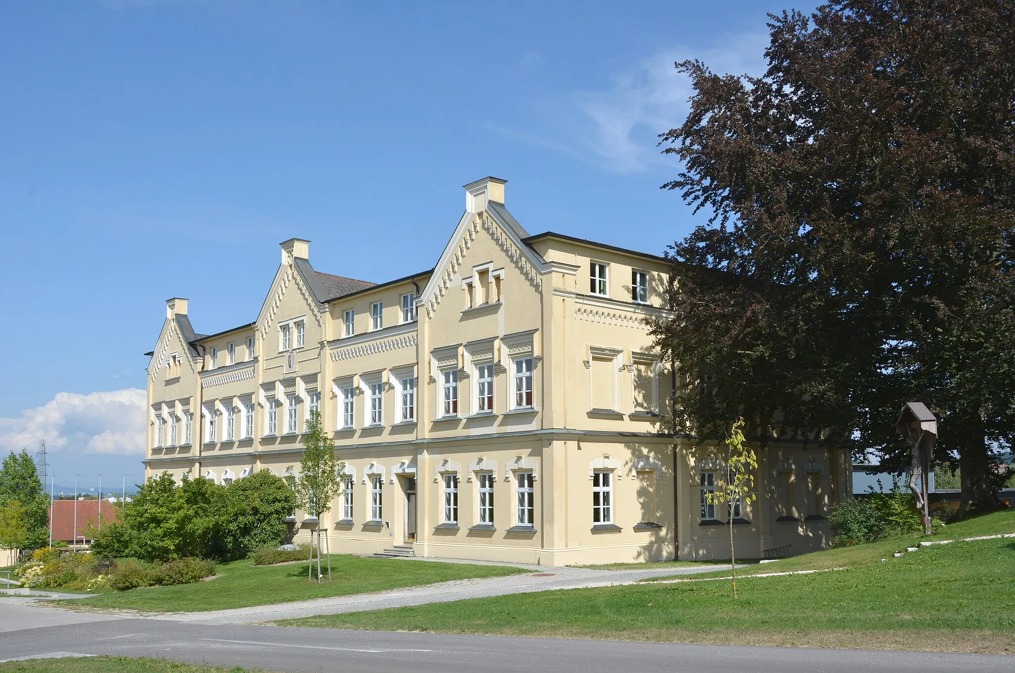
SteyrTownSteyr: Explore the historic town of Steyr, known for its well-preserved medieval center.
75 km
75 km
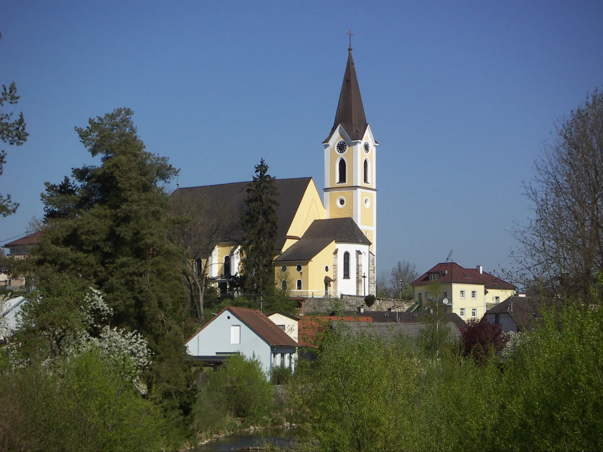
Hofkirchen im TraunkreisVillageHofkirchen im Traunkreis: Ride through the stunning Traun Valley and enjoy the tranquil surroundings.
83 km
83 km
Karl-Geisz-StraßeShelter84 km
84 km
Finish: Weilling Village centerAsten: Varied Terrain Near the Danube River
Cycling routes nearby: