Scharnstein Loop
A road cycling route starting from Gruenau im Almtal
Ride through Scharnstein and its surrounding areas
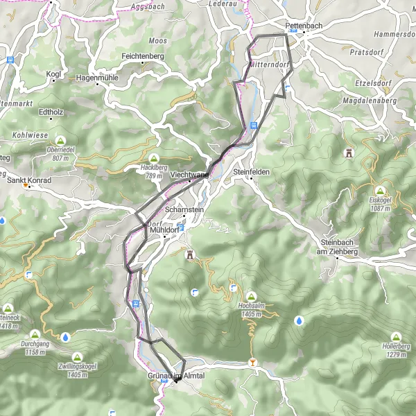
Map
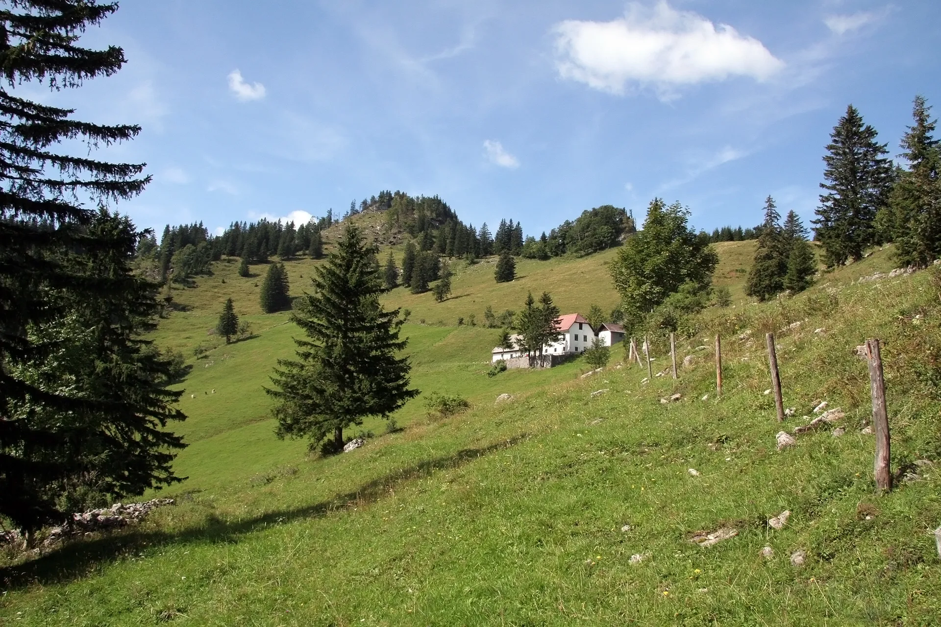
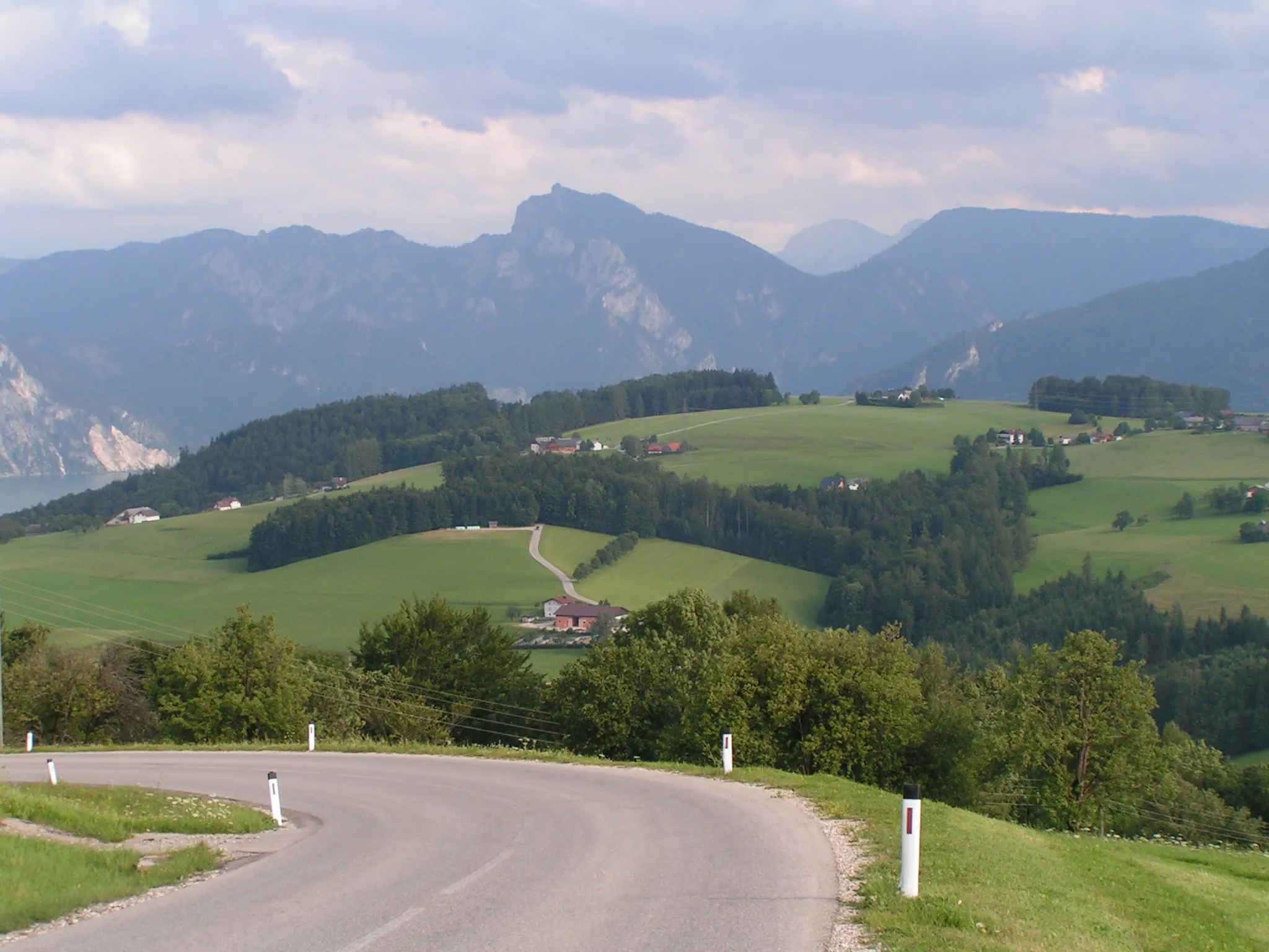
Experience the charming town of Scharnstein and its Wolfsiedlung district as you cycle on this scenic 35-kilometer road route. With a moderate ascent of 320 meters, this is a great option for cyclists looking for a relatively easy ride. Enjoy the picturesque views and immerse yourself in the peaceful surroundings of the Almtal region.
road
35 km
320 m
Chill
Route profile
Highlights on the route
0 km
0 km
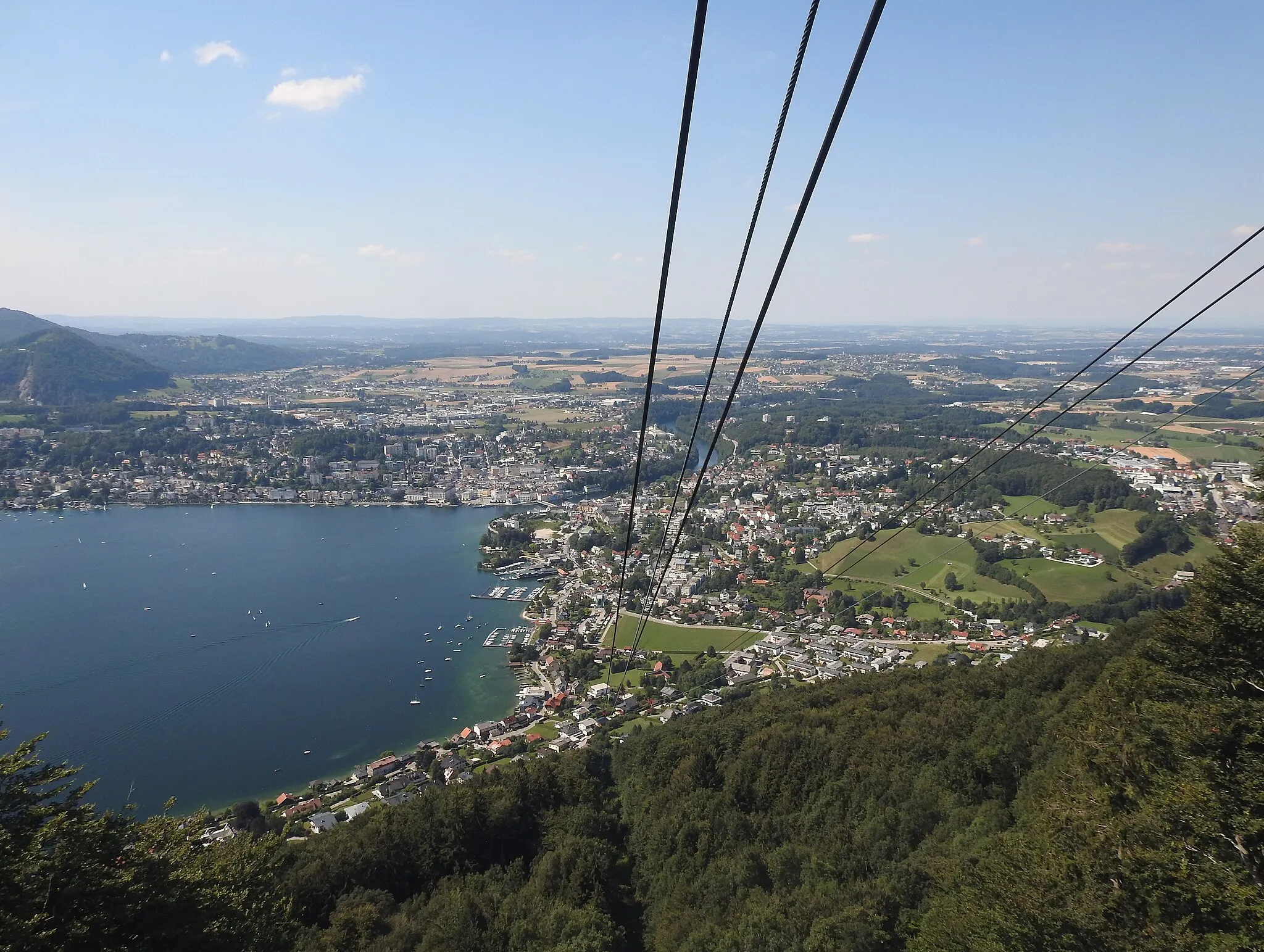
Start: Grünau im Almtal Village centerGrünau im Almtal: Cycling Paradise in Austria
Situated in Oberösterreich, Austria, Grünau im Almtal is a wonderful destination for road and gravel cyclists. With its stunning mountainous landscapes and well-developed cycling infrastructure, Grünau im Almtal offers an exceptional cycling experience. The locality is home to several well-known climbs, including the Kasberg Pass and the Feistrizalm climb. These challenging routes attract cyclists from all over the region. Grünau im Almtal also hosts various cycling events throughout the year, making it a popular destination for both local and international cyclists.8 km
8 km
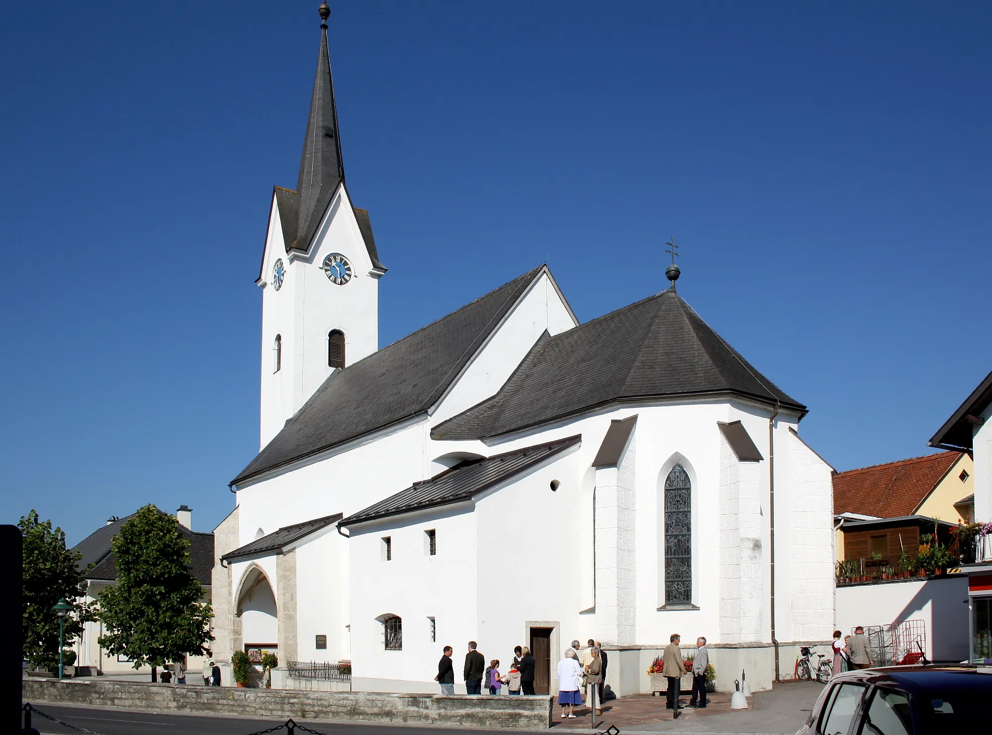
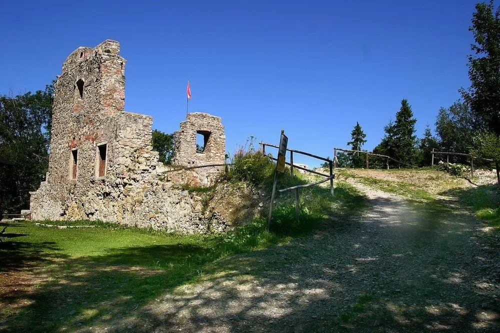
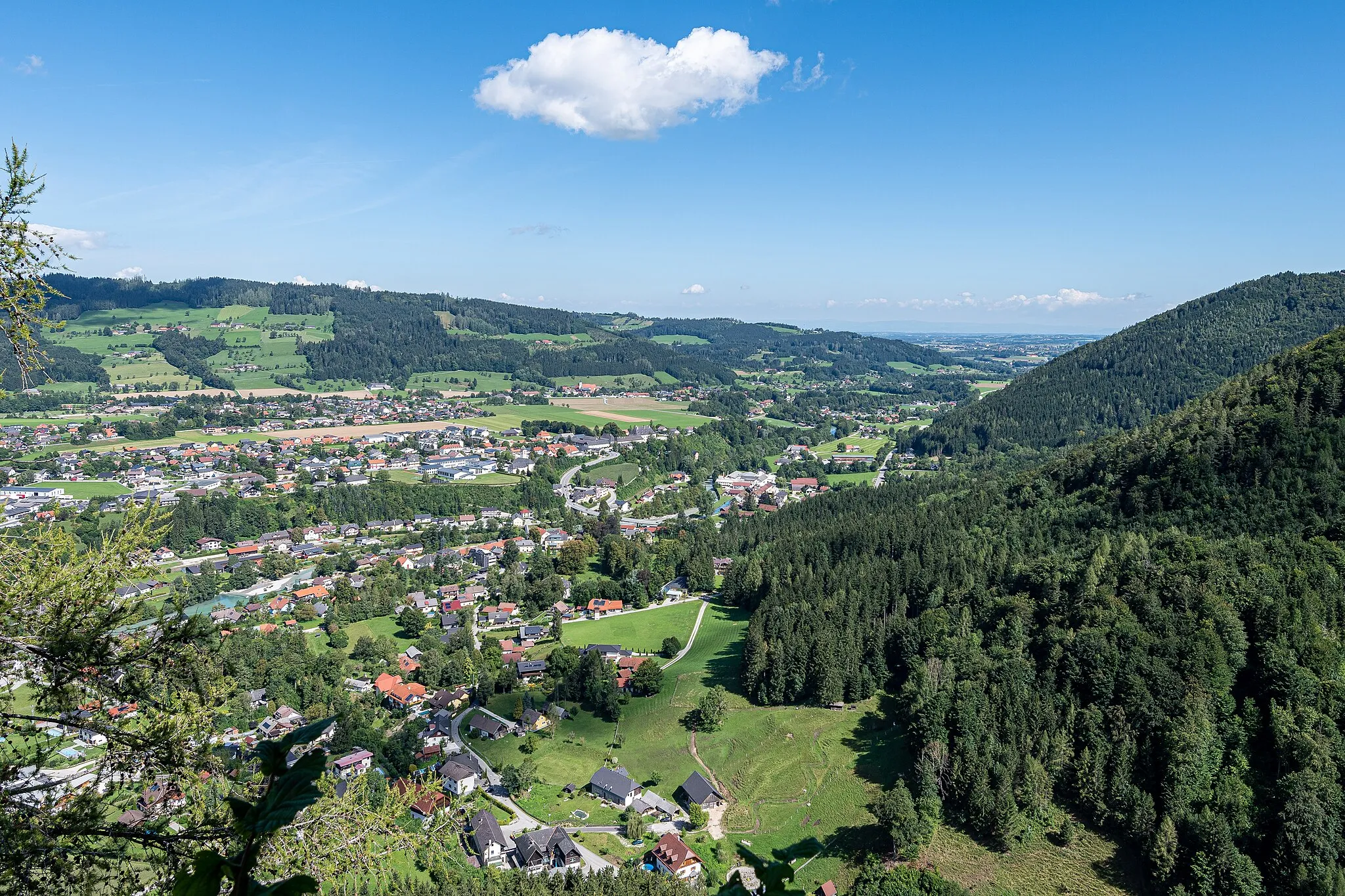
ScharnsteinVillageDiscover the historic town of Scharnstein, known for its medieval castle ruins and picturesque architecture.
17 km
17 km
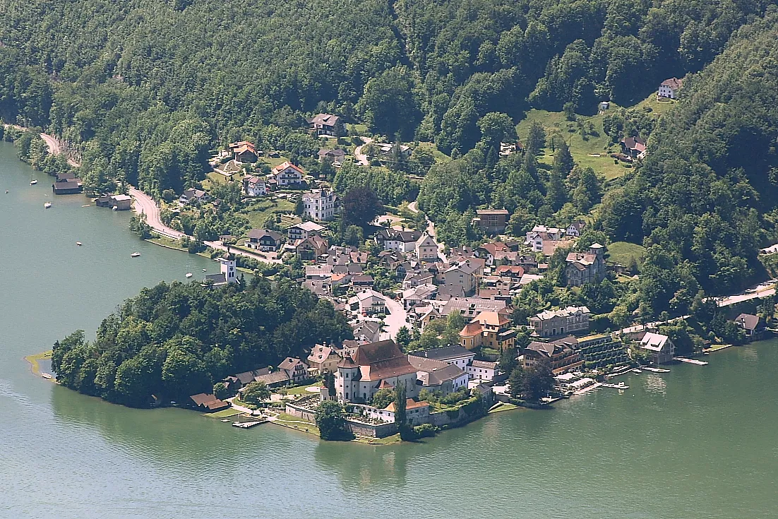
PettenbachVillagePedal through the scenic Pettenbach, a village located on the Traun River with beautiful landscapes.
21 km
21 km
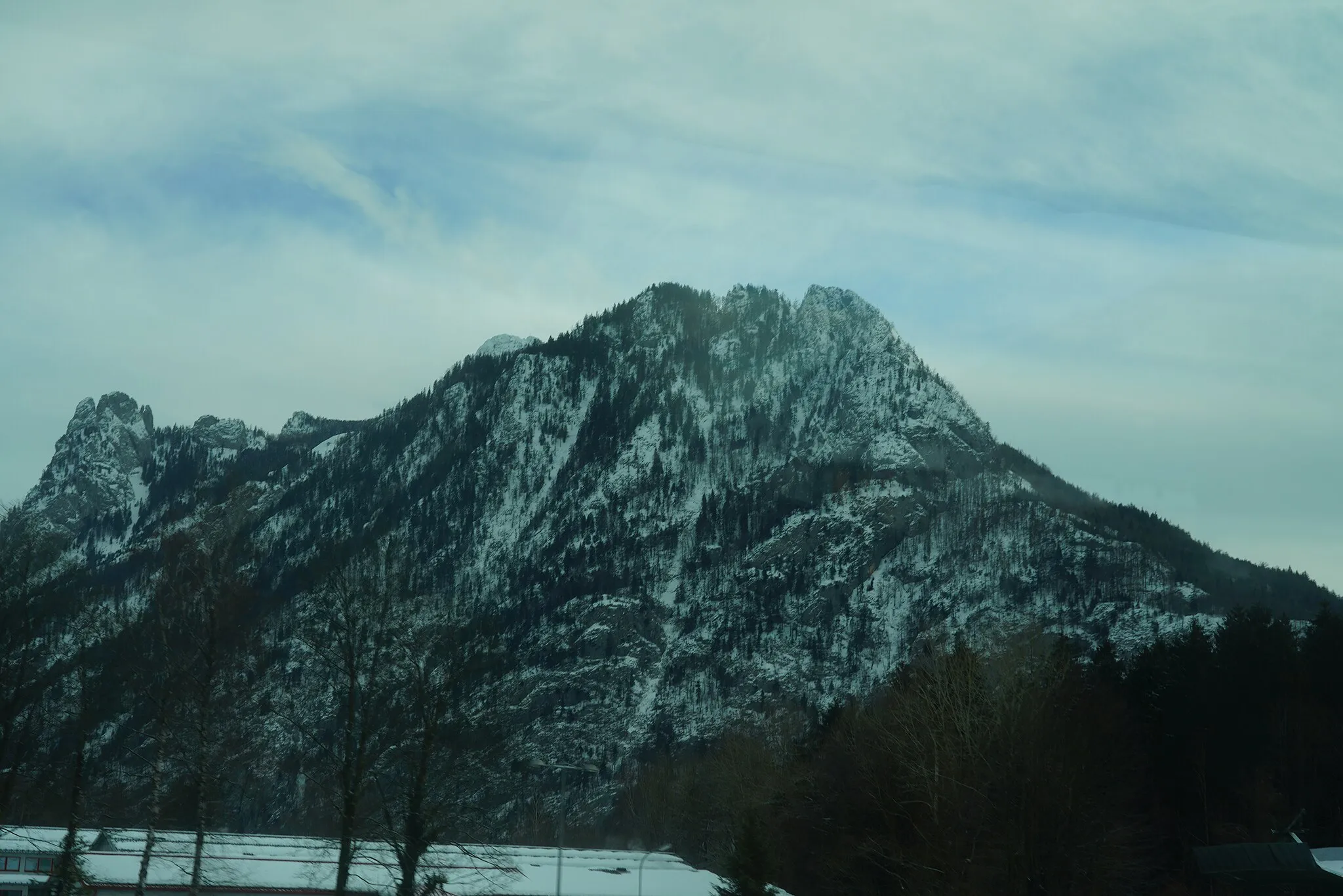
Kaibling717 mPeakMake a stop at Kaibling, a popular resting point where cyclists can relax and enjoy stunning views of the region.
29 km
29 km
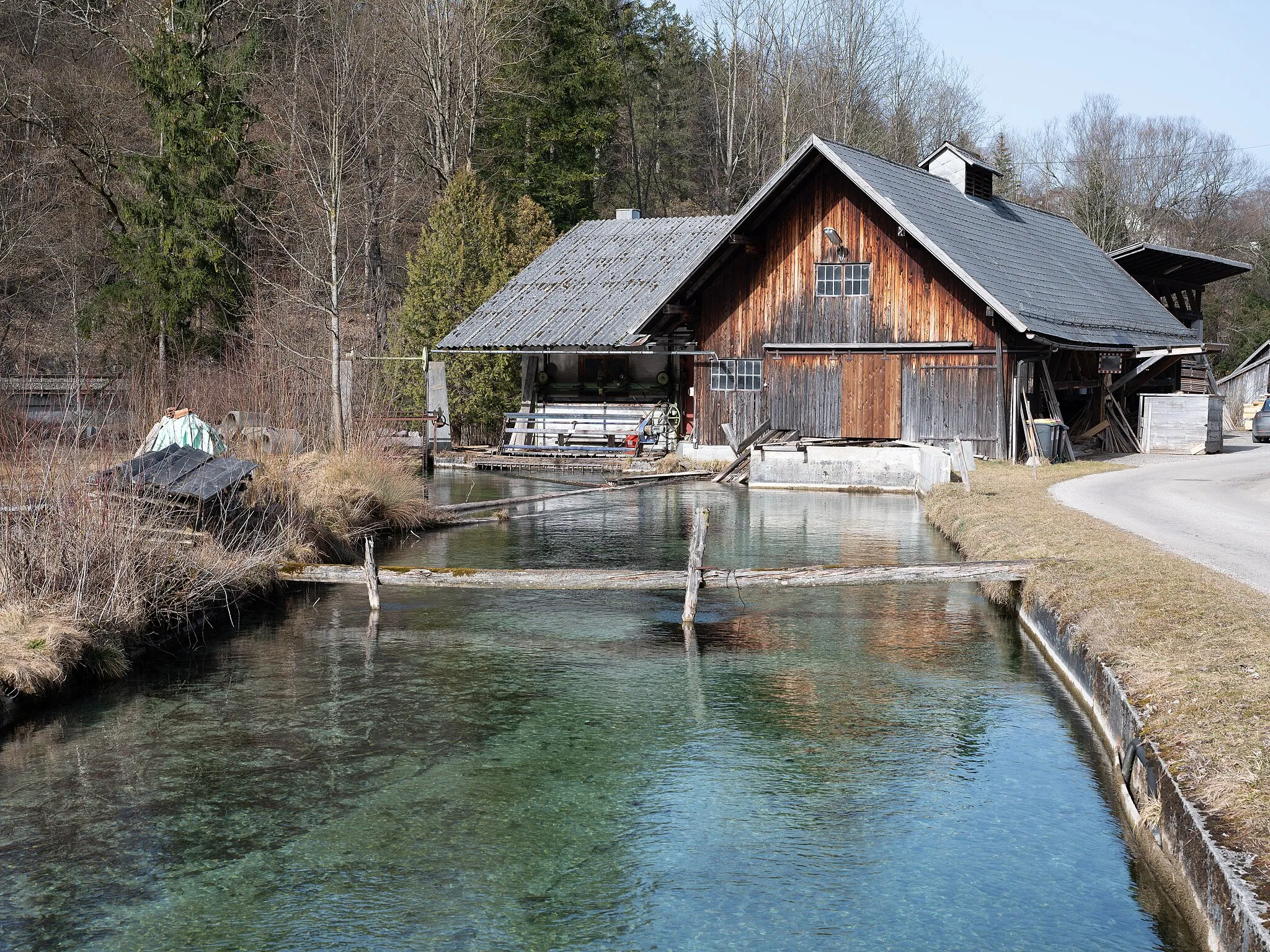
Scharnstein WolfsiedlungShelterVisit Scharnstein Wolfsiedlung, a small settlement dating back to the 19th century, and learn about its fascinating history.
35 km
35 km
Finish: Grünau im Almtal Village centerGrünau im Almtal: Cycling Paradise in Austria
Cycling routes nearby: