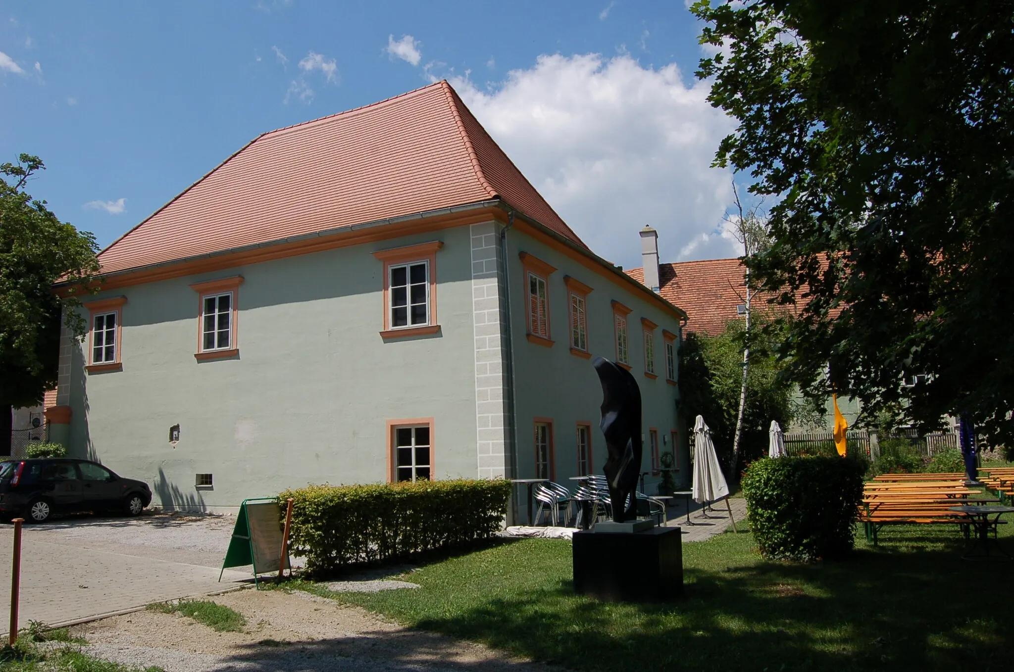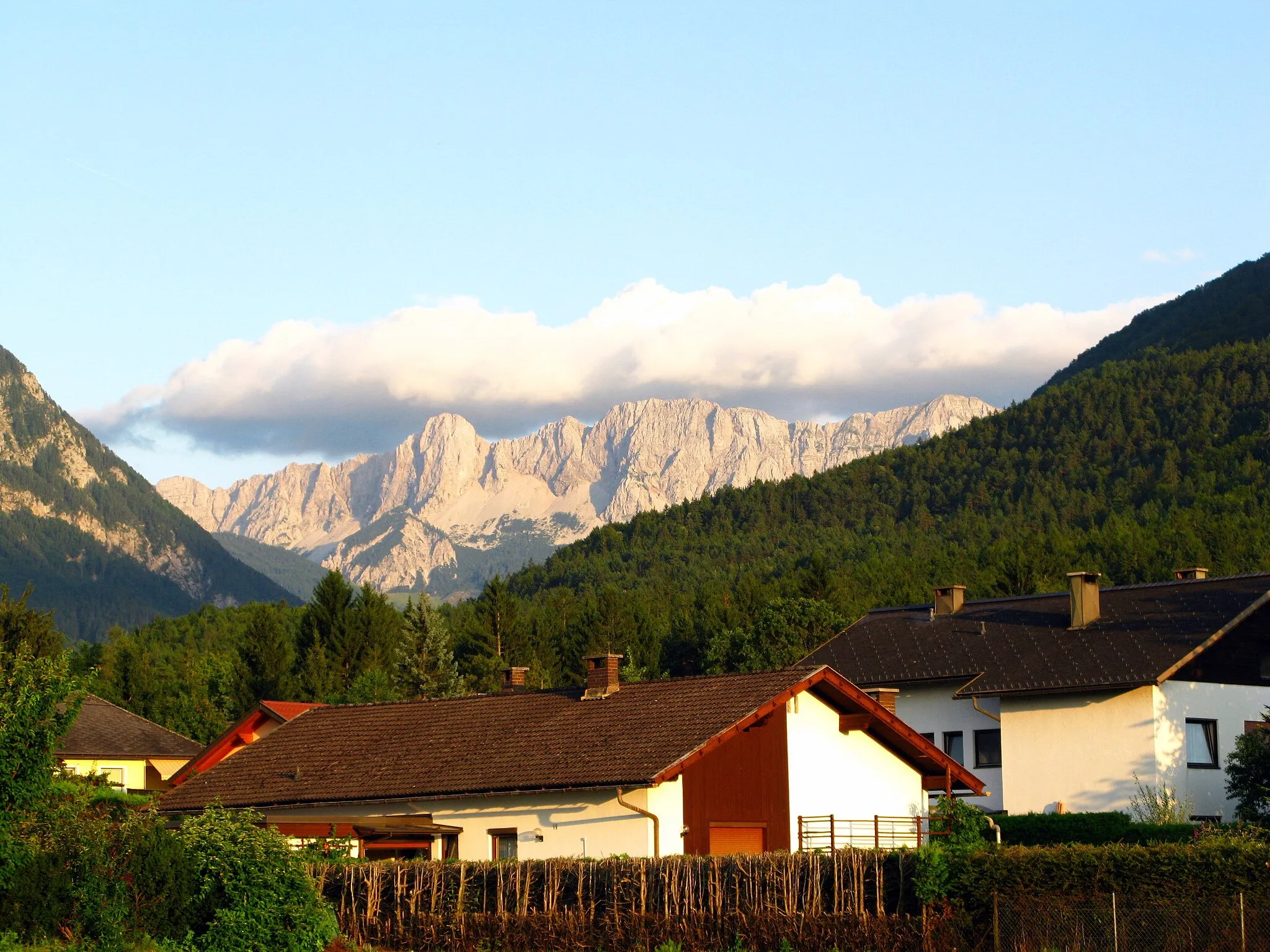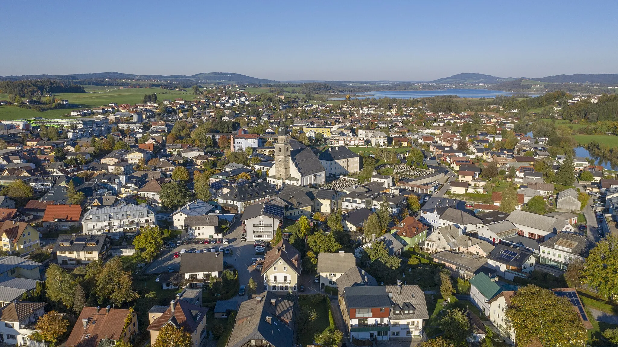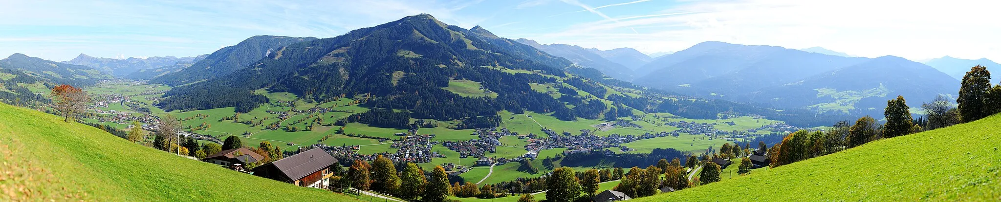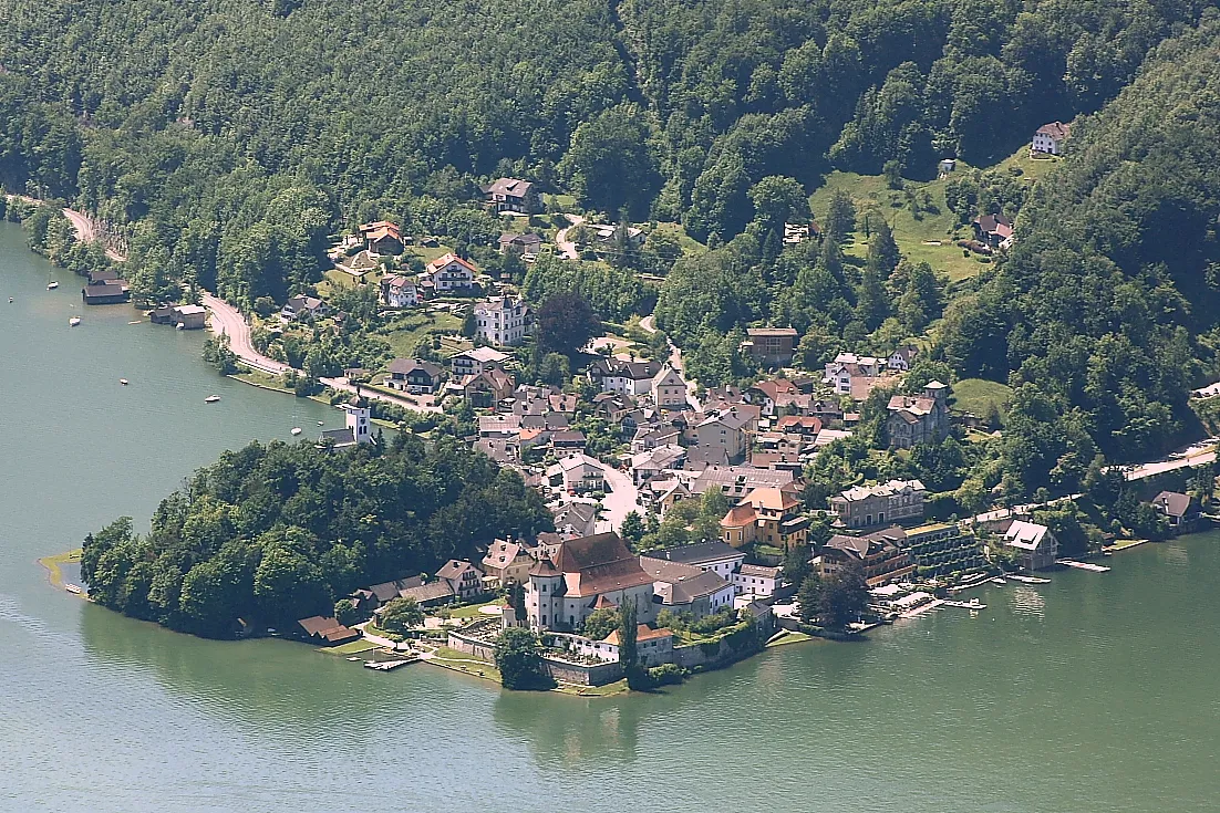
Scenic cycling routes and stunning landscapes in Traunkirchen, Austria.
Cycling routes from Traunkirchen
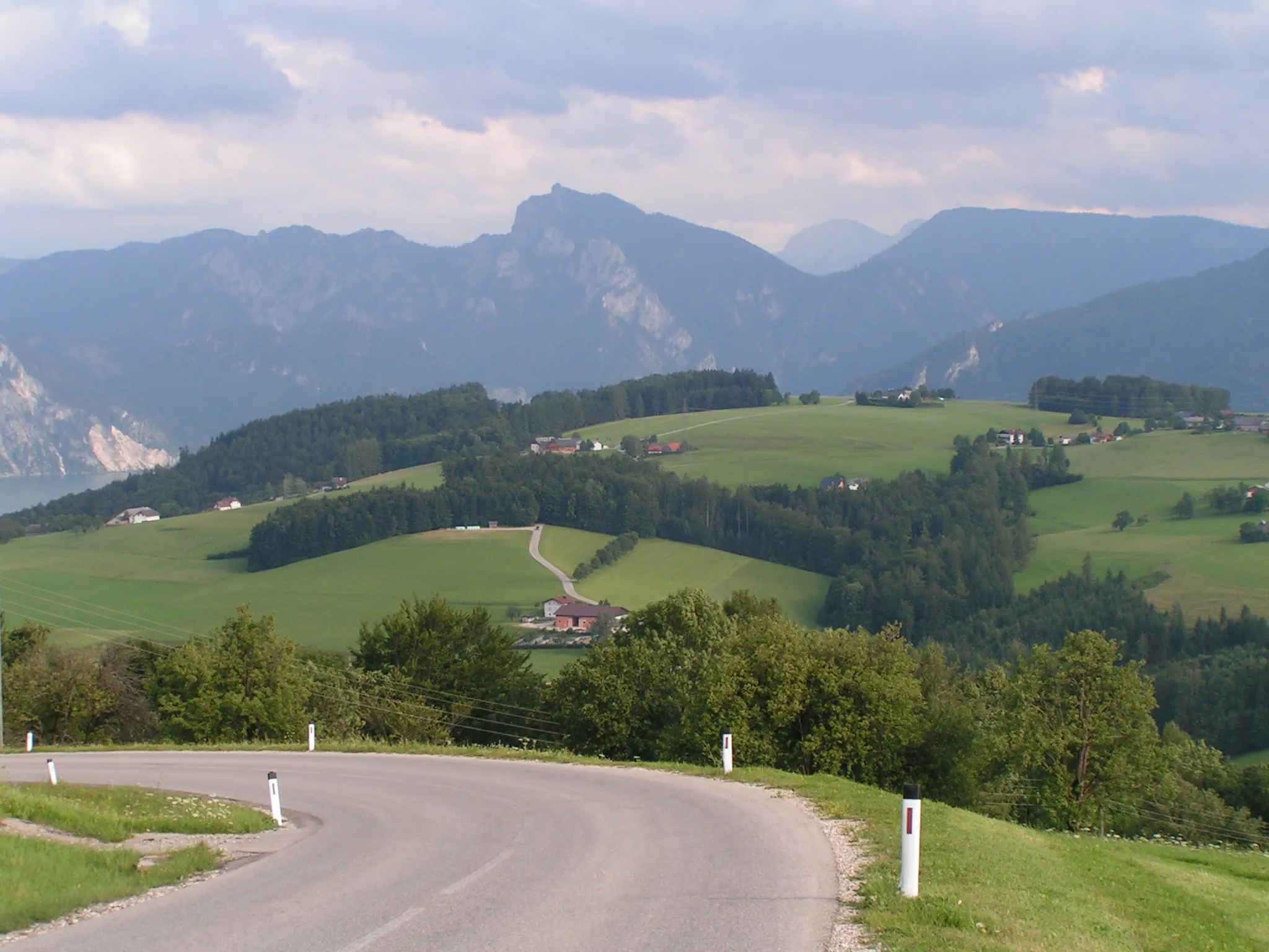
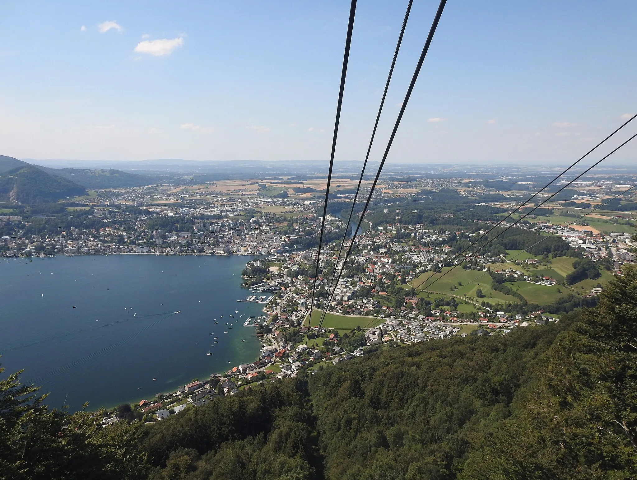
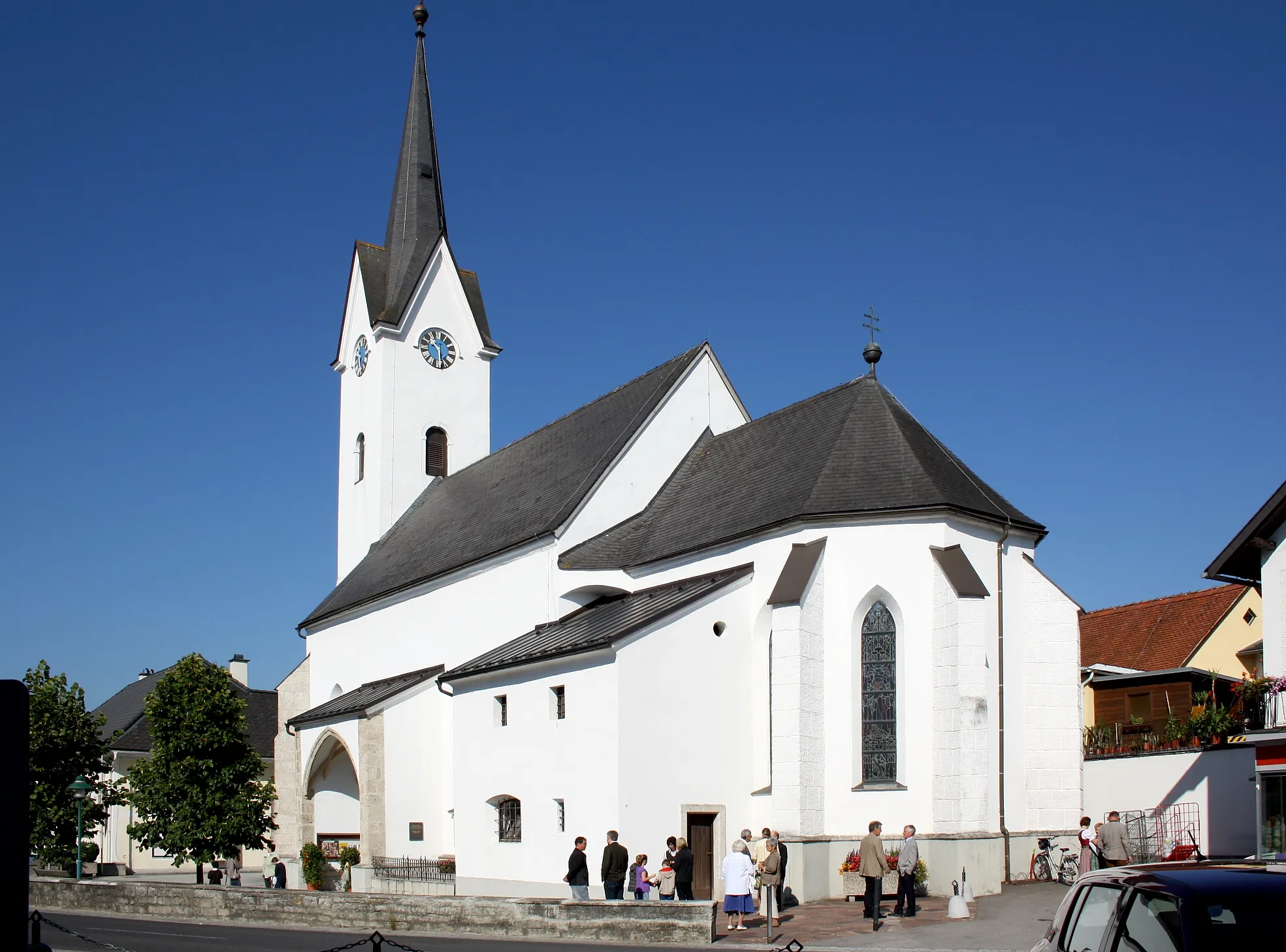
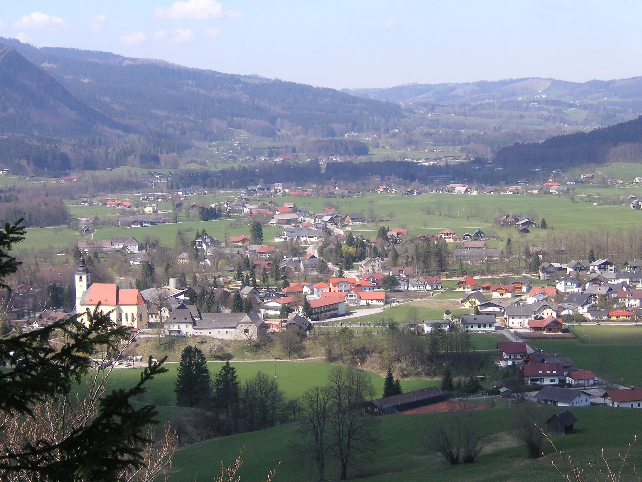
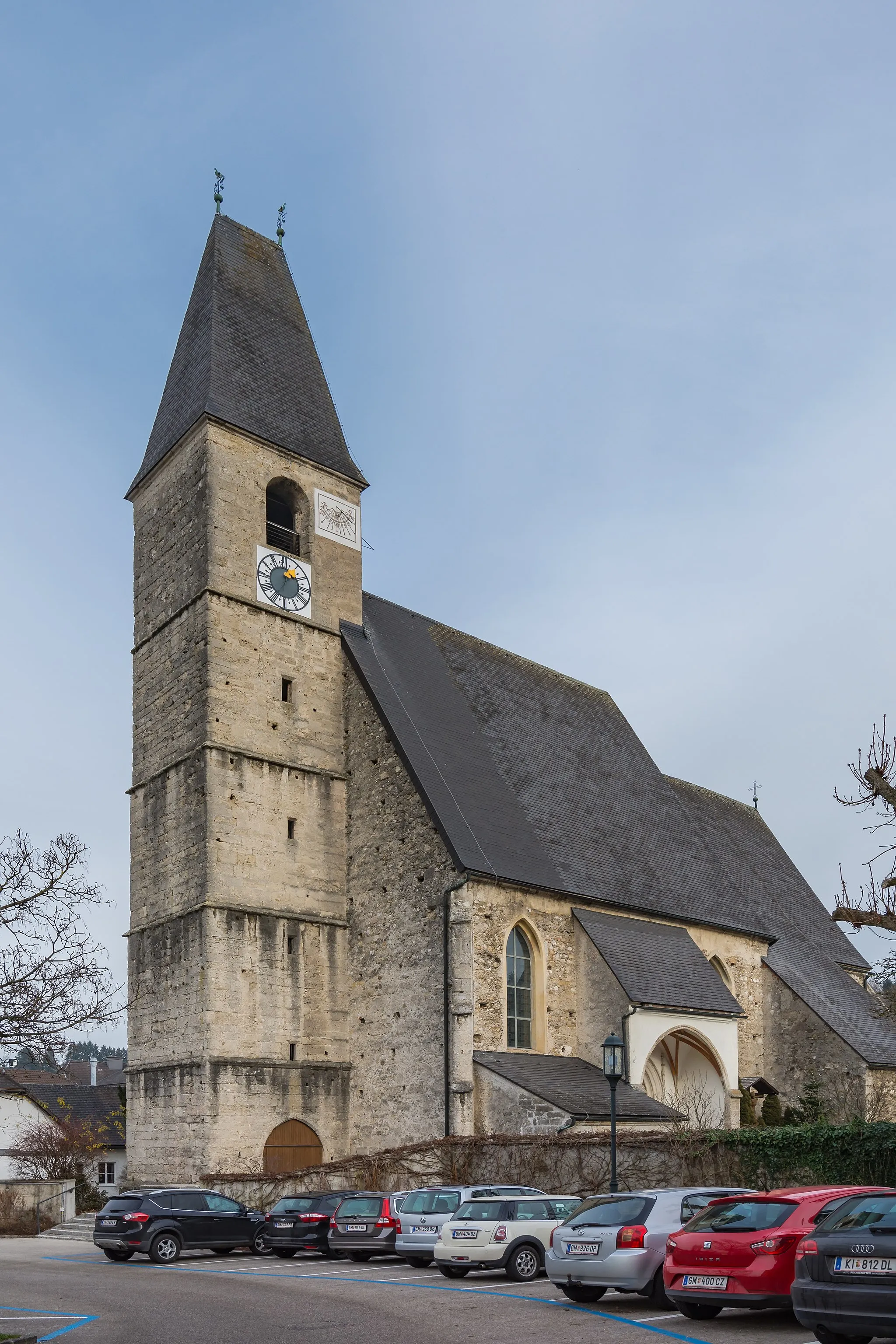
Traunkirchen is a small town located in Oberösterreich, Austria. From a cyclist's point of view, this locality offers stunning landscapes and picturesque routes. The roads are well-maintained, making it a suitable area for road cycling. Traunkirchen is surrounded by beautiful mountains and sits on the shore of the Traunsee Lake, providing cyclists with breathtaking views as they explore the area. One of the most popular cycling routes in the region is the Traunsee Round trip, which takes you around the entire lake. Overall, Traunkirchen is a cyclist's paradise with its scenic routes and natural beauty.
Traunkirchen Scenic Loop
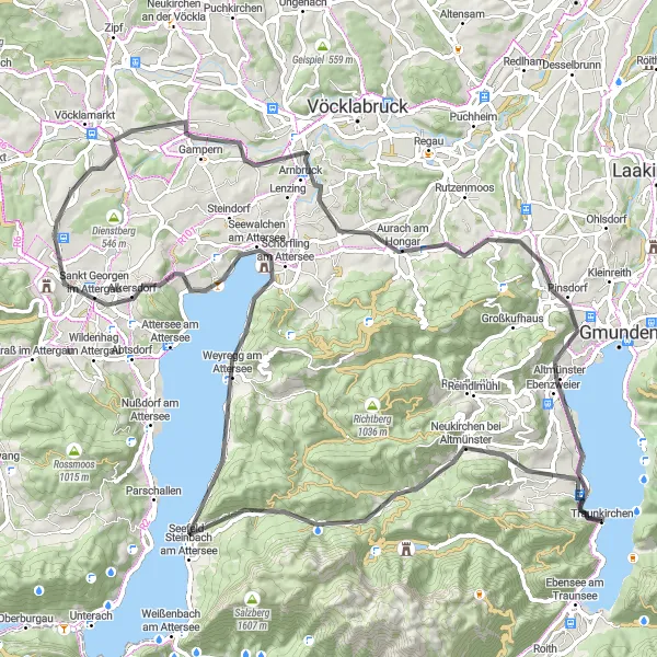
Discover the scenic beauty of Traunkirchen and its surroundings on this picturesque road route
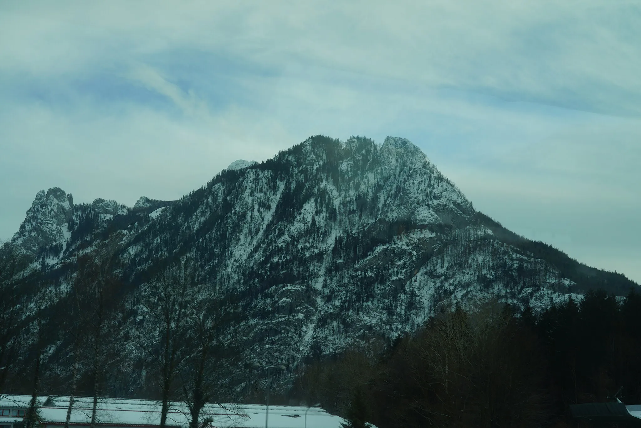
Experience Traunkirchen and its surrounding areas on this picturesque 96 km road cycling route. With beautiful landscapes and 1,195 meters of ascent, this ride is suitable for intermediate cyclists. Explore highlights such as Nadelspitze, a majestic peak offering panoramic views, and Traunkirchen Bahnhof, the starting point that showcases the enchanting beauty of Lake Traunsee. Along the way, you can immerse yourself in the charm of the region's quaint villages, historical landmarks, and the idyllic countryside. This route is a wonderful way to soak up the natural and cultural delights of Traunkirchen.
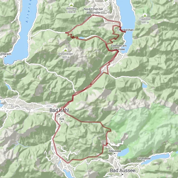
Traunkirchen Gravel Paradise
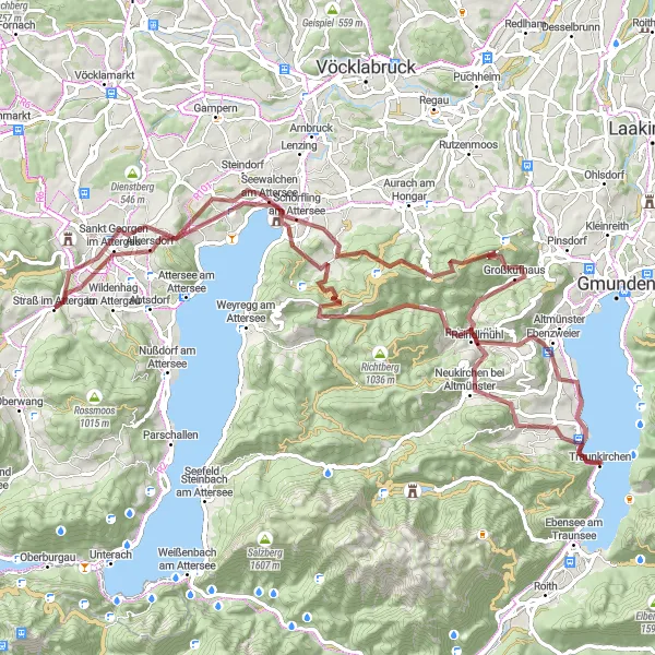
Embark on a gravel adventure through Traunkirchen's hidden gems and natural wonders
Discover Traunkirchen's hidden gems and natural wonders on this 91 km gravel cycling route. With 1,945 meters of ascent, this challenging ride will take you through forests, medieval castles, and quaint villages. Highlights include Baalstein, an ancient fortress ruin surrounded by picturesque landscapes, and Ebenberg, offering mesmerizing views of the surrounding mountains. Traunkirchen itself, with its idyllic location on Lake Traunsee, is a great starting and finishing point. Get ready for an unforgettable journey through diverse terrain and immerse yourself in the beauty of Austria's countryside.
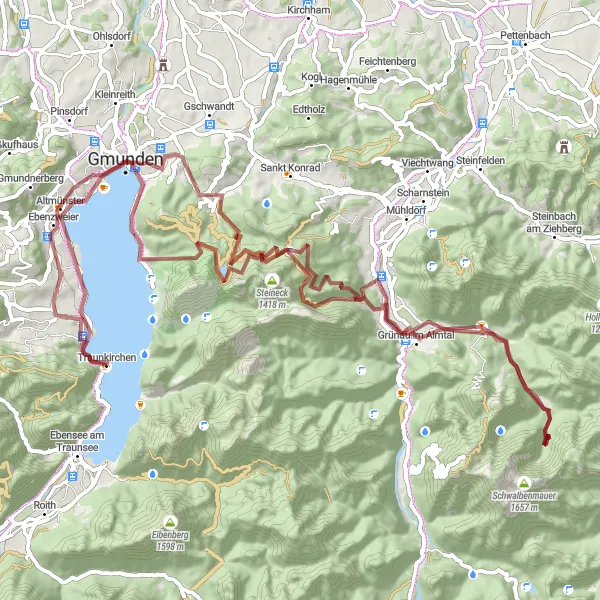
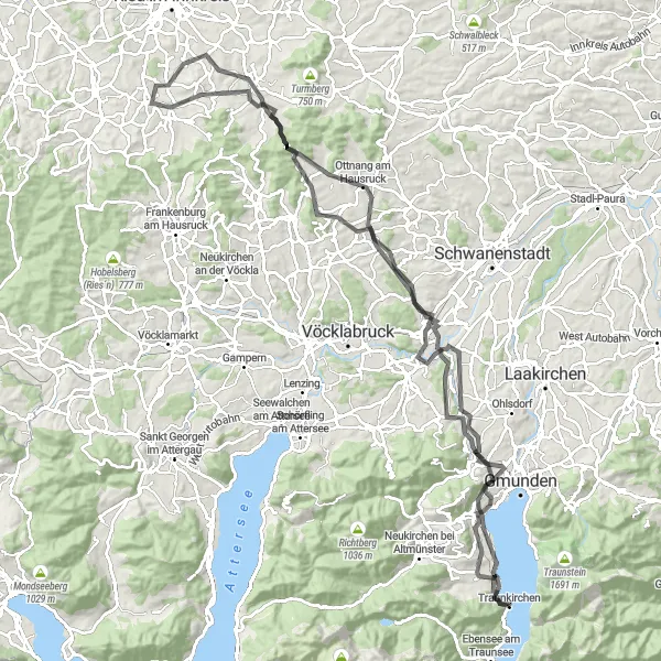
An adventurous gravel route with exciting highlights near Traunkirchen
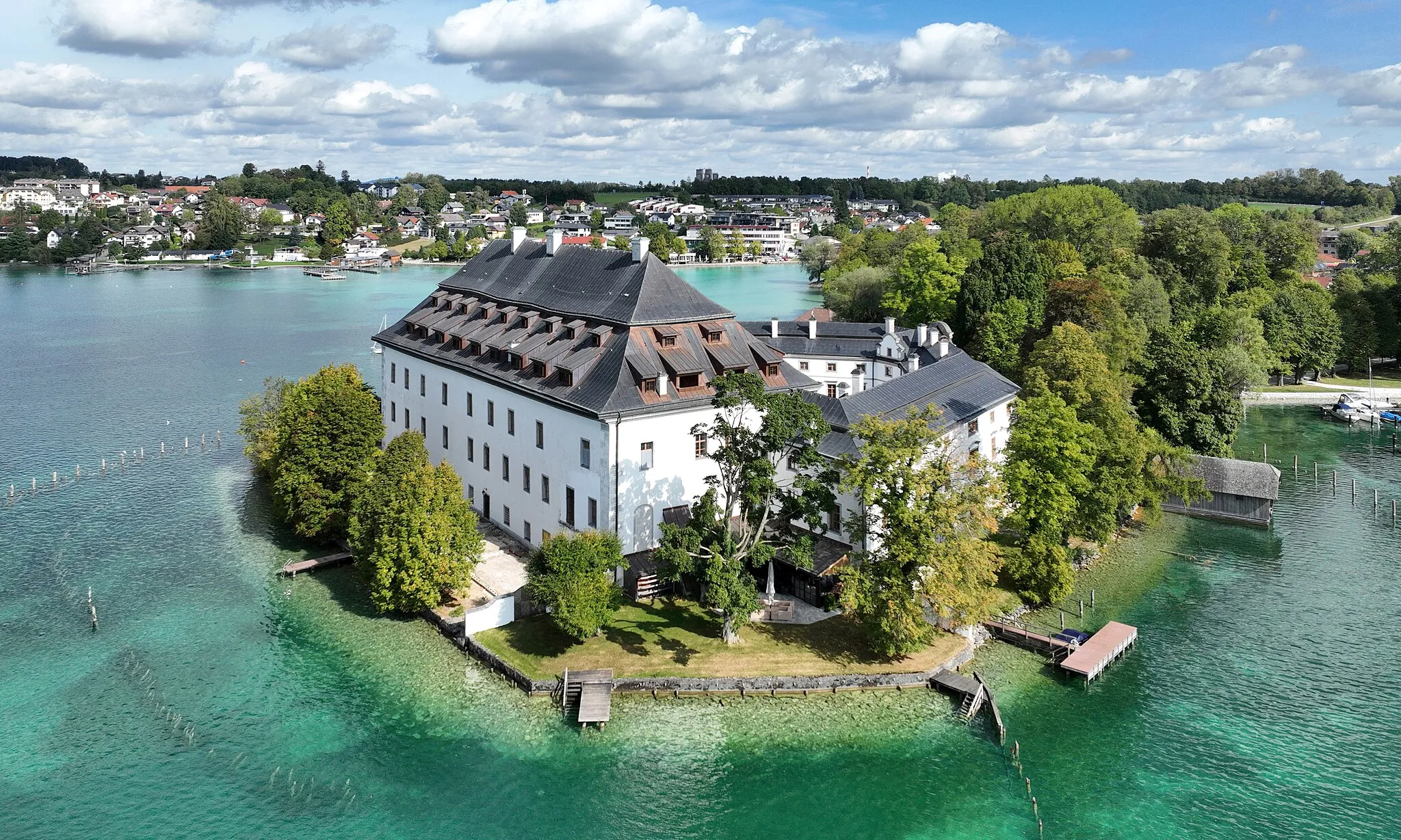
Get off the beaten track and explore the challenging terrain of this adventurous gravel route starting from Traunkirchen. With a distance of 94 kilometers and an ascent of 2084 meters, this route is perfect for experienced gravel riders seeking a thrilling and scenic cycling experience. Highlights include the historic town of Gmunden and the iconic Seeschloss Ort. Get ready for an unforgettable gravel adventure near Traunkirchen.
Embark on an exhilarating alpine cycling journey with stunning mountain views and charming towns along the way!
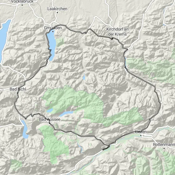
This round-trip cycling route starting near Traunkirchen offers a delightful mix of challenging ascents, thrilling descents, and scenic landscapes. Covering a distance of 190 kilometers and an elevation gain of 2,666 meters, this route is perfect for well-trained amateur cyclists seeking a memorable adventure. The epicness of this route is rated 4 out of 5, promising an exciting experience. As you navigate through the region, you'll encounter several highlights that add to the allure of the journey.
Traunkirchen Road Cycling Route
A picturesque road cycling route starting from Traunkirchen
This road cycling route is a scenic and challenging ride that starts from Traunkirchen, with a total distance of 76 kilometers and an ascent of 749 meters. You will pass through several highlights along the way, including the town of Gmunden and the beautiful Kalvarienberg. The route offers stunning views of the surrounding countryside and lake. It is suitable for well-trained amateur cyclists looking for a challenging ride with great scenery.
Gmunden-Traunkirchen Loop

A beautiful loop from Gmunden to Traunkirchen
Experience a picturesque journey from Gmunden to Traunkirchen, crossing scenic landscapes and enjoying stunning views of Lake Traunsee. This loop offers a great mix of challenging ascents and relaxing descents, making it suitable for cyclists of all levels. The route covers a total distance of 36 kilometers with an ascent of 350 meters.
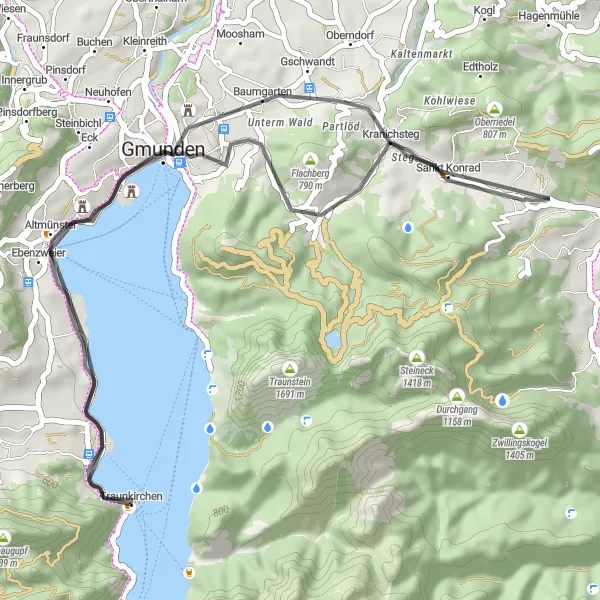
A scenic loop from Flachberg to Traunkirchen
Embark on a captivating journey from Flachberg to Traunkirchen, traversing enchanting landscapes and enjoying breathtaking views of Lake Traunsee. This loop offers a mix of challenging climbs and exhilarating descents, making it ideal for experienced cyclists seeking an exciting adventure. The route spans a total distance of 45 kilometers with an ascent of 530 meters.
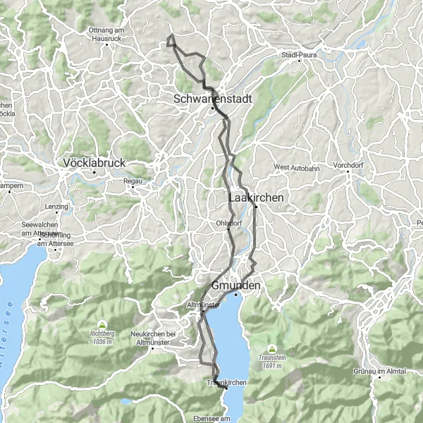
A long road cycling route with stunning views near Traunkirchen
Embark on a challenging road cycling route that takes you through beautiful landscapes and historic landmarks. This 118-kilometer route with an ascent of 1459 meters offers a rewarding experience for well-trained amateur cyclists. Highlights include the charming town of Altmünster and the impressive Scwloss Traunsee. Ready yourself for a long, scenic ride with plenty of breathtaking views.
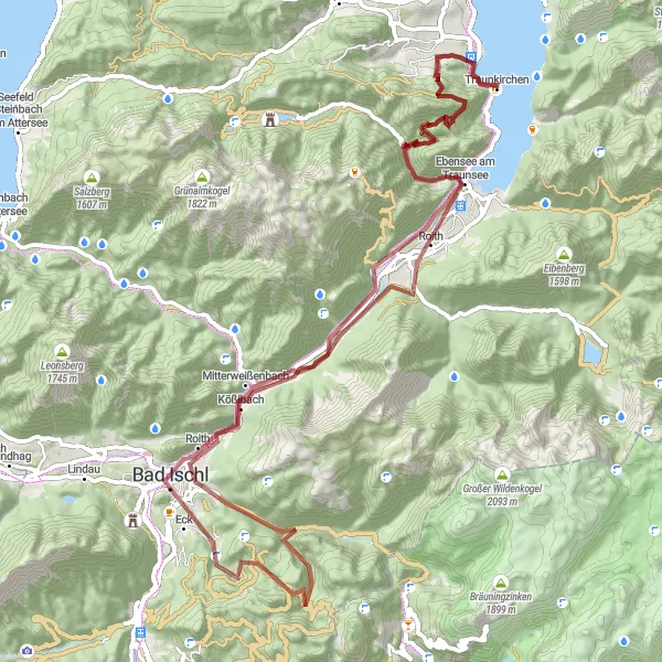
Traunkirchen Gravel Adventure
Explore the rugged gravel roads through Traunkirchen's stunning landscape
Embark on a gravel adventure through Traunkirchen, a picturesque village on the shores of Lake Traunsee. This 122 km route will take you through diverse terrain, including forests, meadows, and hills. Be prepared for a challenging ride with 2,877 meters of ascent, but the breathtaking views and unique highlights along the way make it all worthwhile.
A challenging gravel route with scenic beauty near Traunkirchen
Embark on a challenging gravel route that combines breathtaking scenery and rewarding climbs. With an ascent of 2737 meters and a distance of 86 kilometers, this route is perfect for experienced gravel riders seeking a thrilling adventure. Highlights include the picturesque town of Brandeck and the stunning Brentenlärche. Get ready for an unforgettable cycling experience near Traunkirchen.
Cycling routes nearby:
Nearby regions: