Traunkirchen Scenic Loop
A road cycling route starting from Traunkirchen
Discover the scenic beauty of Traunkirchen and its surroundings on this picturesque road route
Map
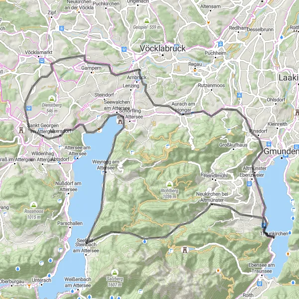
Experience Traunkirchen and its surrounding areas on this picturesque 96 km road cycling route. With beautiful landscapes and 1,195 meters of ascent, this ride is suitable for intermediate cyclists. Explore highlights such as Nadelspitze, a majestic peak offering panoramic views, and Traunkirchen Bahnhof, the starting point that showcases the enchanting beauty of Lake Traunsee. Along the way, you can immerse yourself in the charm of the region's quaint villages, historical landmarks, and the idyllic countryside. This route is a wonderful way to soak up the natural and cultural delights of Traunkirchen.
road
96 km
1195 m
Tough
Route profile
Highlights on the route
0 km
0 km
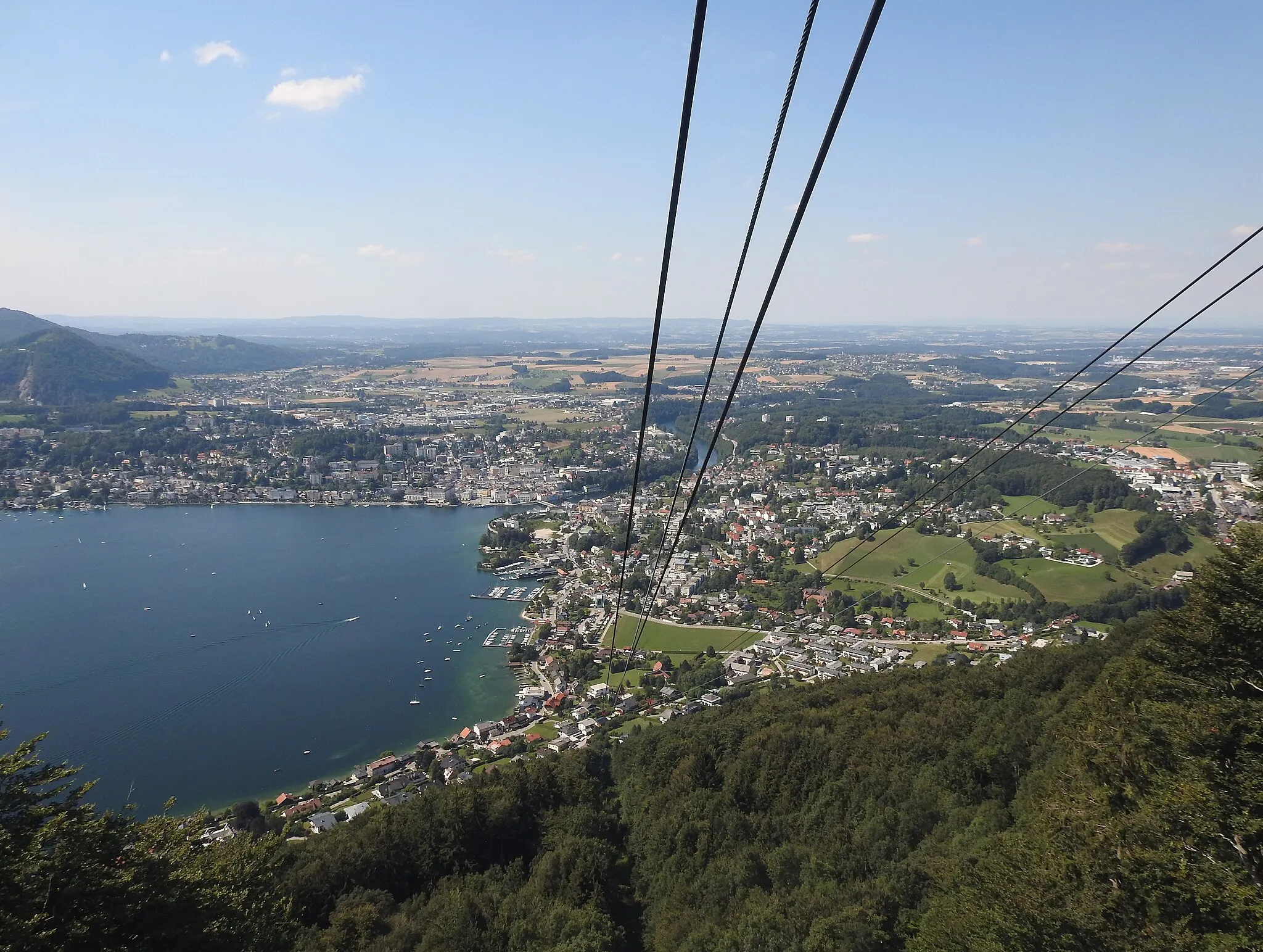
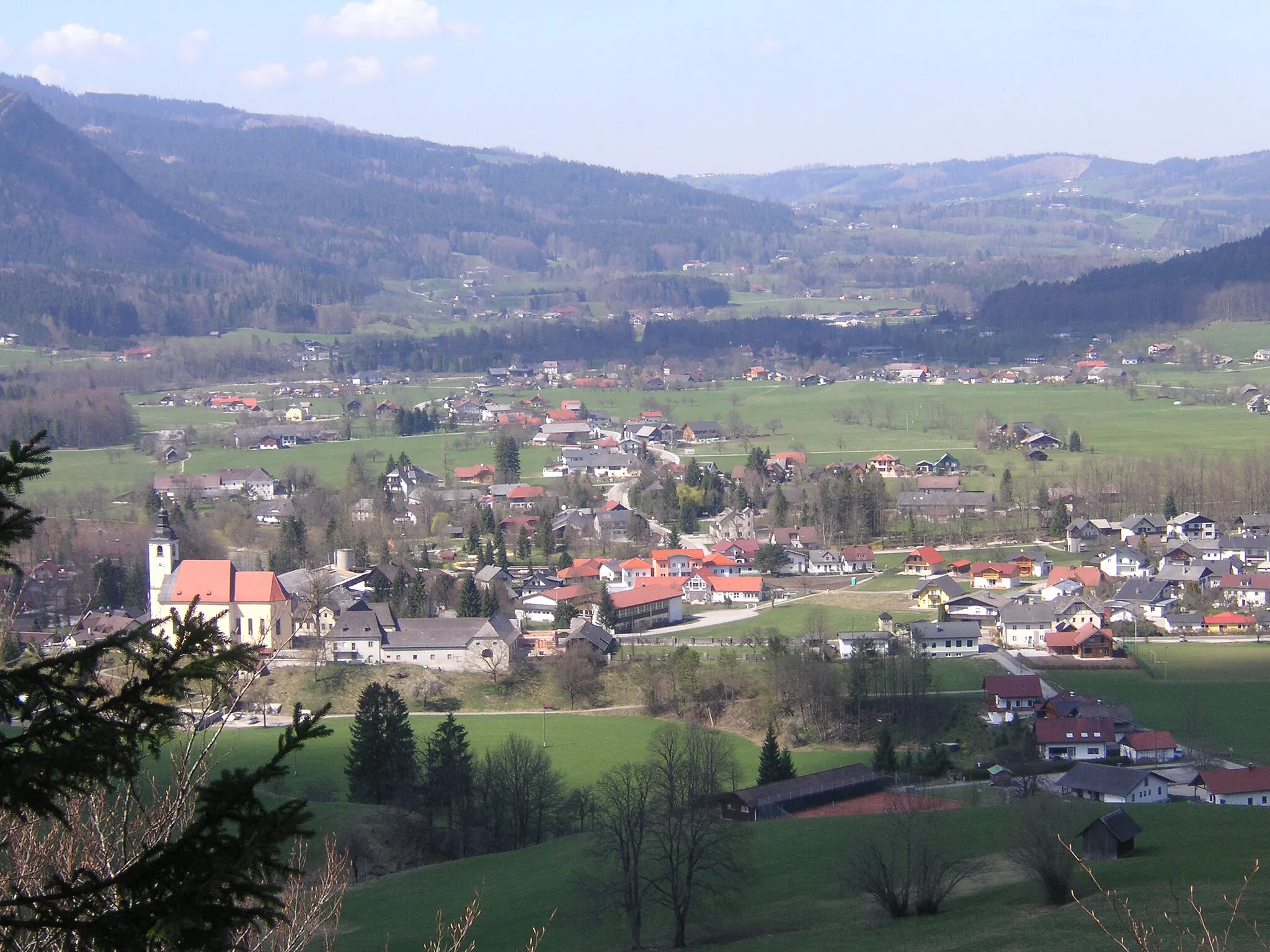
Start: Traunkirchen Village centerTraunkirchen: Scenic cycling routes and stunning landscapes in Traunkirchen, Austria.
Traunkirchen is a small town located in Oberösterreich, Austria. From a cyclist's point of view, this locality offers stunning landscapes and picturesque routes. The roads are well-maintained, making it a suitable area for road cycling. Traunkirchen is surrounded by beautiful mountains and sits on the shore of the Traunsee Lake, providing cyclists with breathtaking views as they explore the area. One of the most popular cycling routes in the region is the Traunsee Round trip, which takes you around the entire lake. Overall, Traunkirchen is a cyclist's paradise with its scenic routes and natural beauty.2 km
2 km
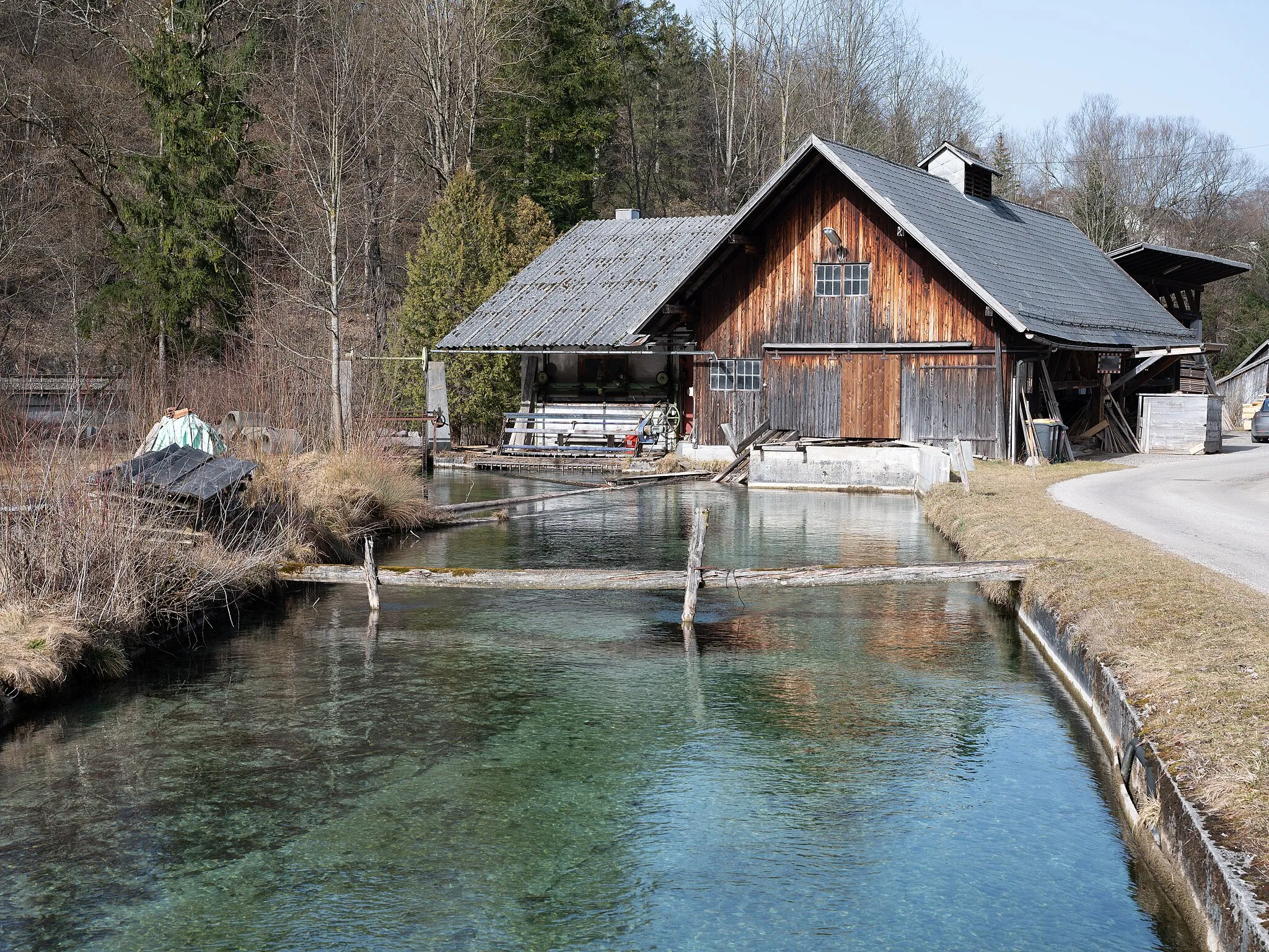
Traunkirchen BahnhofShelterTraunkirchen Bahnhof is the starting point of the route and worth a visit for its idyllic location by the lake.
17 km
17 km
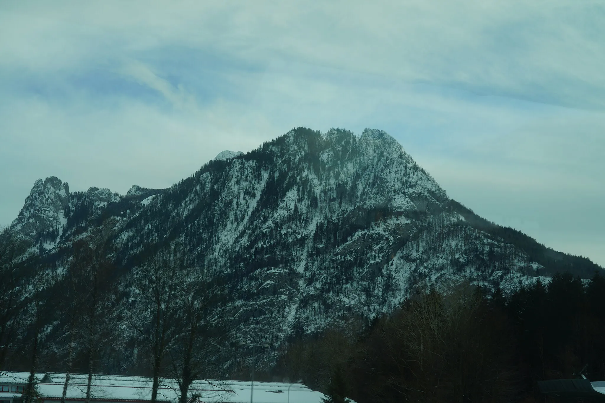
Nadelspitze1140 mPeakNadelspitze is an impressive peak that offers breathtaking panoramic views of the surrounding landscape.
29 km
29 km
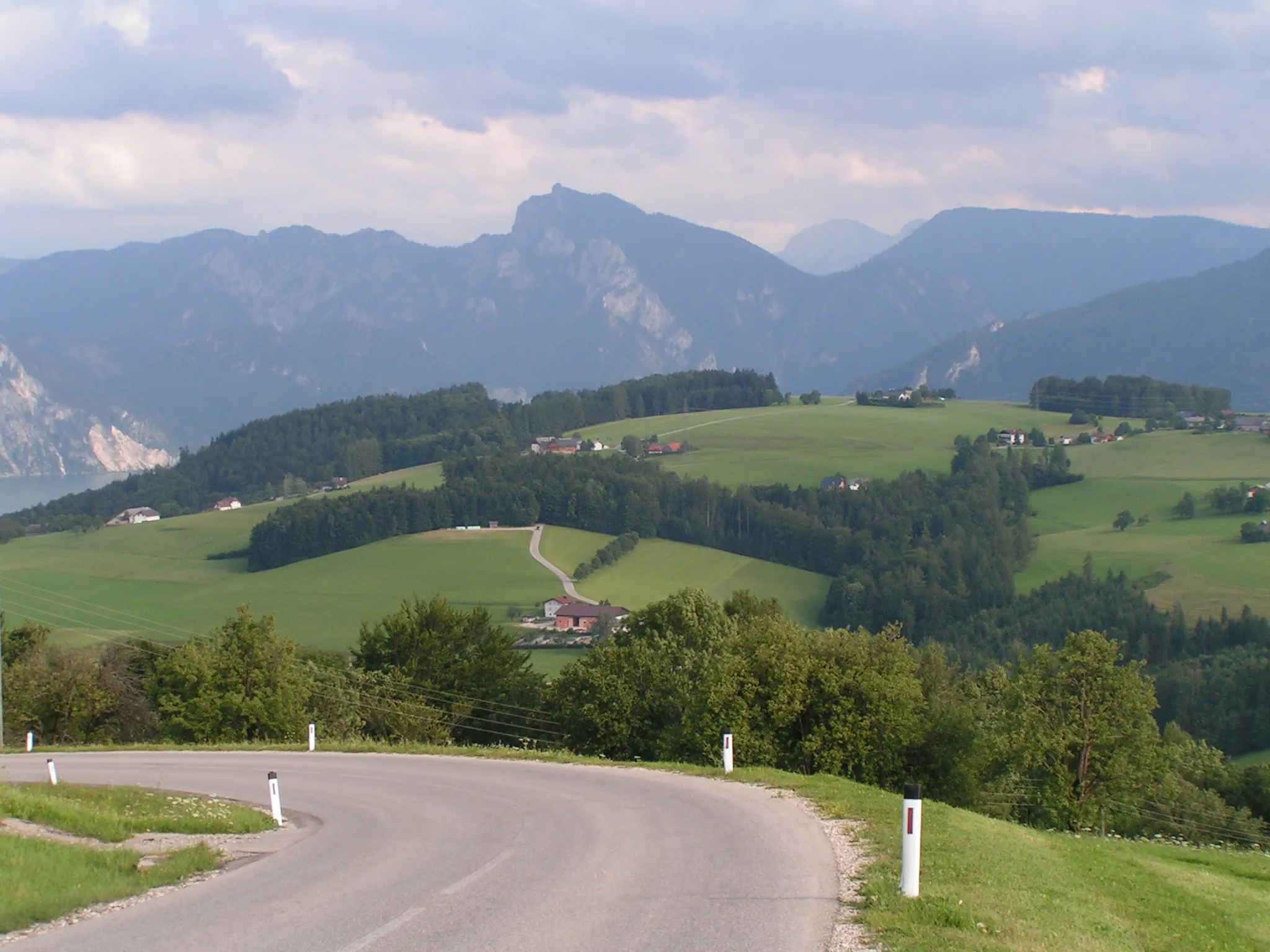
Wachtberg823 mPeakWachtberg is a small hill offering a serene atmosphere and a peaceful escape from the bustling towns.
31 km
31 km
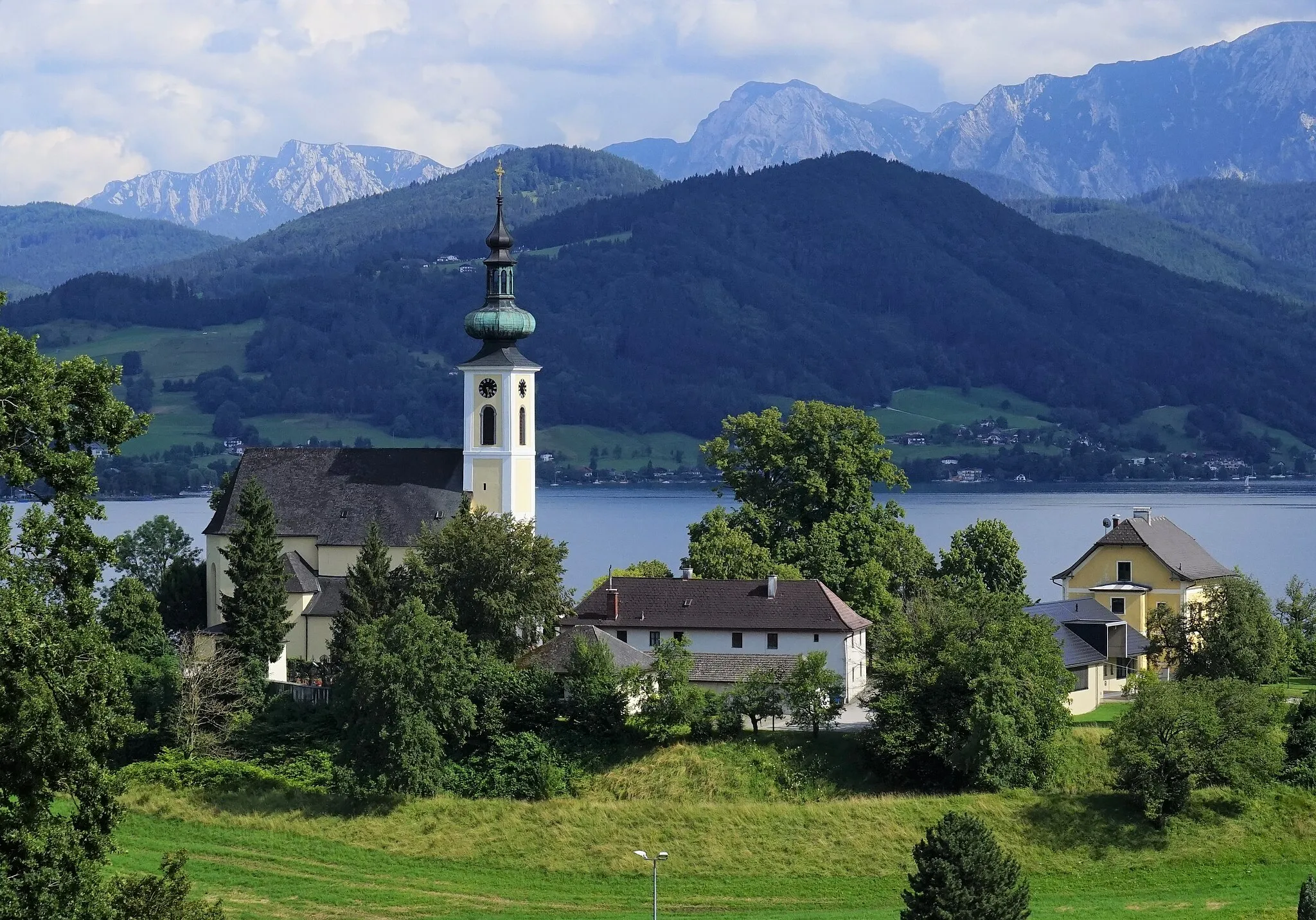
Weyregg am AtterseeVillageWeyregg am Attersee is a charming village located on the shores of Lake Attersee, known for its crystal-clear waters.
44 km
44 km
Berg im AttergauHamletBerg im Attergau is a quaint village surrounded by rolling hills and green pastures.
49 km
49 km
Koglberg680 mPeakKoglberg provides picturesque views over the rolling countryside and the shimmering waters of Lake Attersee.
61 km
61 km
GampernVillageGampern is a peaceful village with lovely flower gardens and well-maintained traditional Alpine architecture.
74 km
74 km
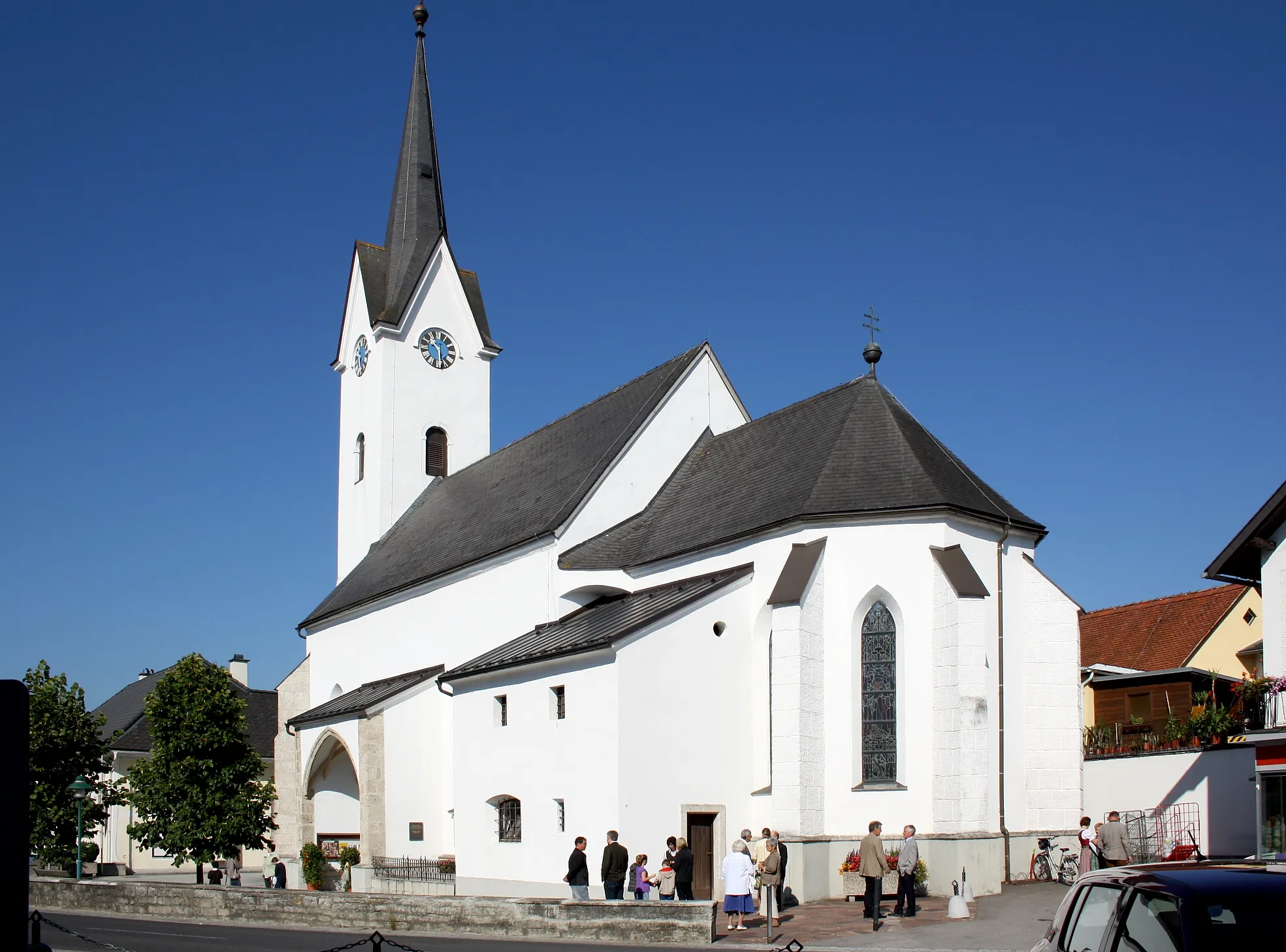
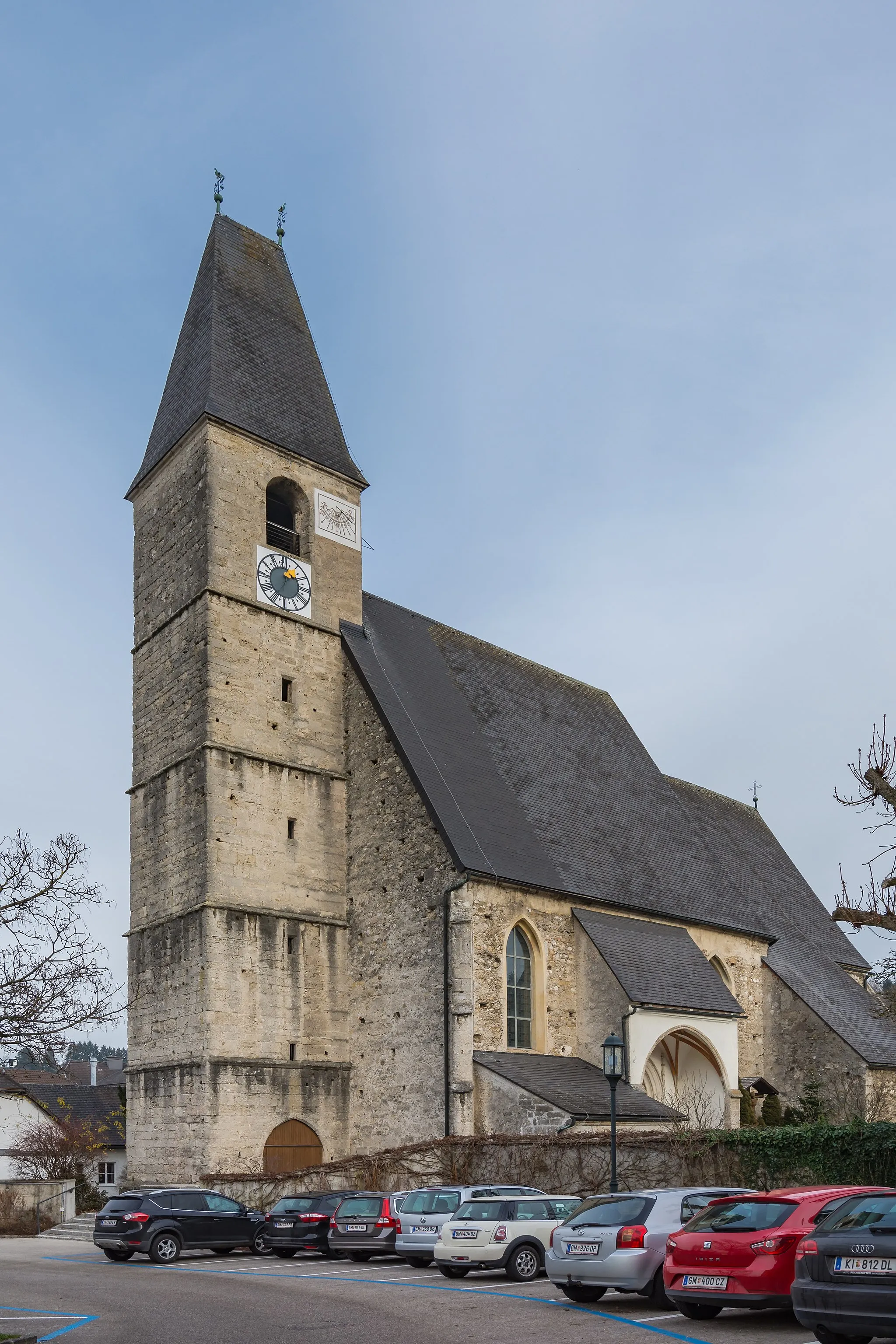
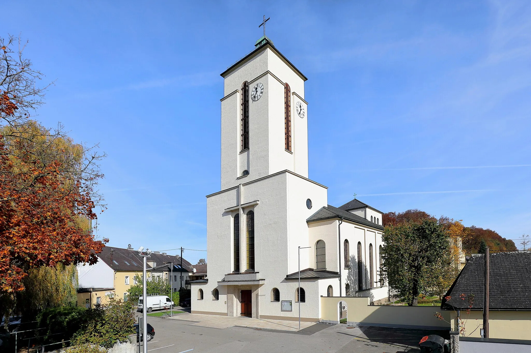
Aurach am HongarVillageAurach am Hongar is a picturesque village known for its beautiful church and stunning mountain views.
85 km
85 km
Pinsdorfberg728 mPeakPinsdorfberg is a hill that offers a moderate climb and rewarding views of Lake Traunsee.
96 km
96 km
TraunkirchenVillageTraunkirchen is a delightful village known for its charming architecture and its location by Lake Traunsee.
96 km
96 km
Finish: Traunkirchen Village centerTraunkirchen: Scenic cycling routes and stunning landscapes in Traunkirchen, Austria.
Cycling routes from Traunkirchen:
Traunkirchen Road Cycling Route Traunkirchen Gravel Cycling Route Traunkirchen Challenging Gravel Route Traunkirchen Long Road Cycling Route Traunkirchen Adventurous Gravel Route Traunkirchen Gravel Adventure The Alpine Adventure Traunkirchen Scenic Loop Traunkirchen Gravel Paradise Gmunden-Traunkirchen Loop Flachberg-Traunkirchen Loop
Cycling routes nearby: