Traunkirchen Gravel Adventure
A gravel cycling route starting from Traunkirchen
Explore the rugged gravel roads through Traunkirchen's stunning landscape
Map
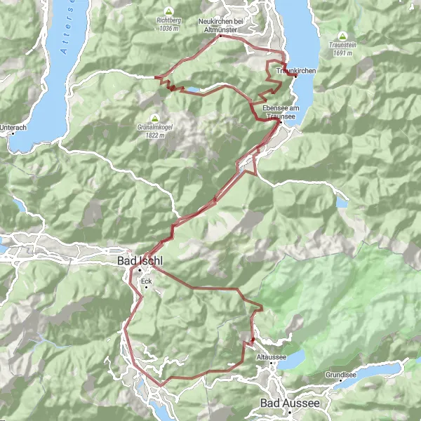
Embark on a gravel adventure through Traunkirchen, a picturesque village on the shores of Lake Traunsee. This 122 km route will take you through diverse terrain, including forests, meadows, and hills. Be prepared for a challenging ride with 2,877 meters of ascent, but the breathtaking views and unique highlights along the way make it all worthwhile.
gravel
122 km
2877 m
Tough
Route profile
Highlights on the route
0 km
0 km
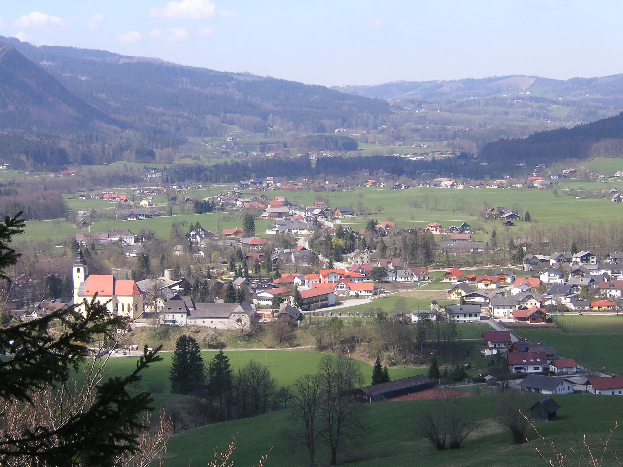
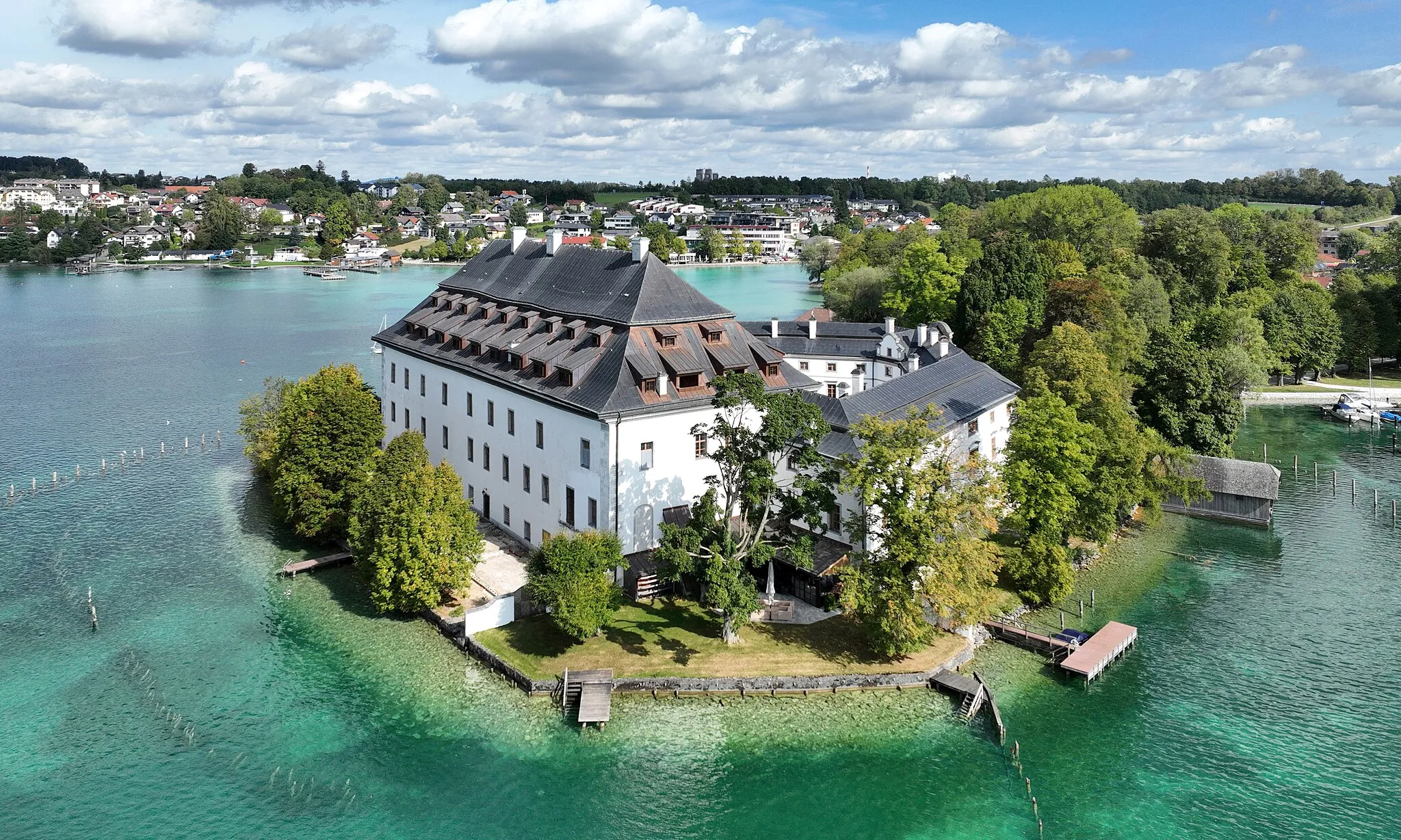
Start: Traunkirchen Village centerTraunkirchen: Scenic cycling routes and stunning landscapes in Traunkirchen, Austria.
Traunkirchen is a small town located in Oberösterreich, Austria. From a cyclist's point of view, this locality offers stunning landscapes and picturesque routes. The roads are well-maintained, making it a suitable area for road cycling. Traunkirchen is surrounded by beautiful mountains and sits on the shore of the Traunsee Lake, providing cyclists with breathtaking views as they explore the area. One of the most popular cycling routes in the region is the Traunsee Round trip, which takes you around the entire lake. Overall, Traunkirchen is a cyclist's paradise with its scenic routes and natural beauty.8 km
8 km
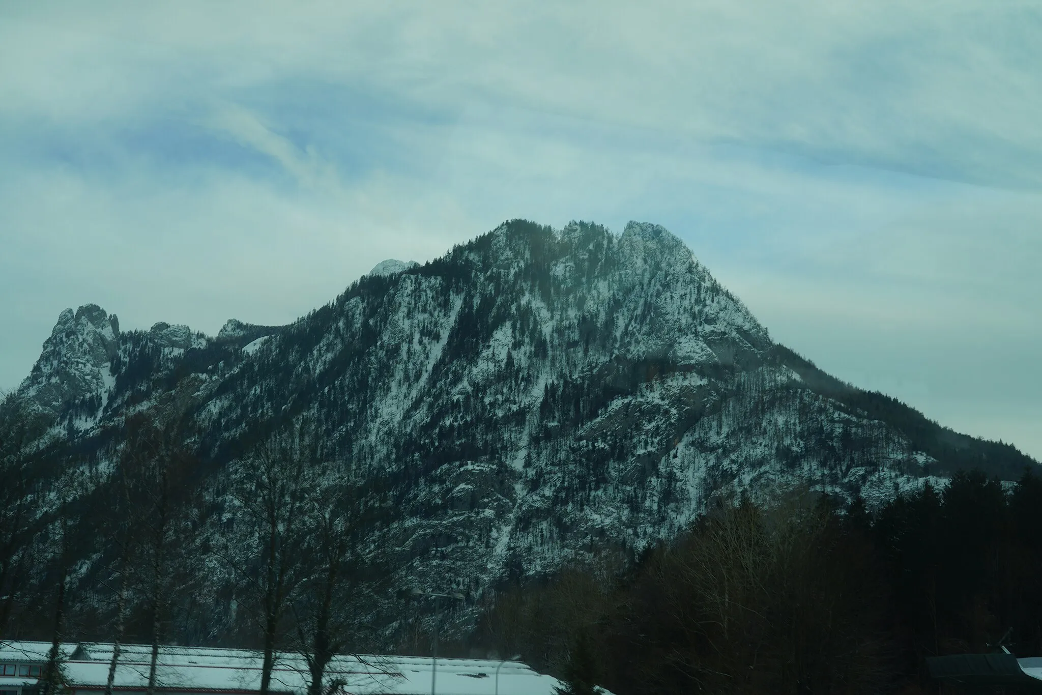
Hochlacken1026 mPeakHochlacken offers panoramic views of the surrounding mountains and Lake Traunsee.
15 km
15 km
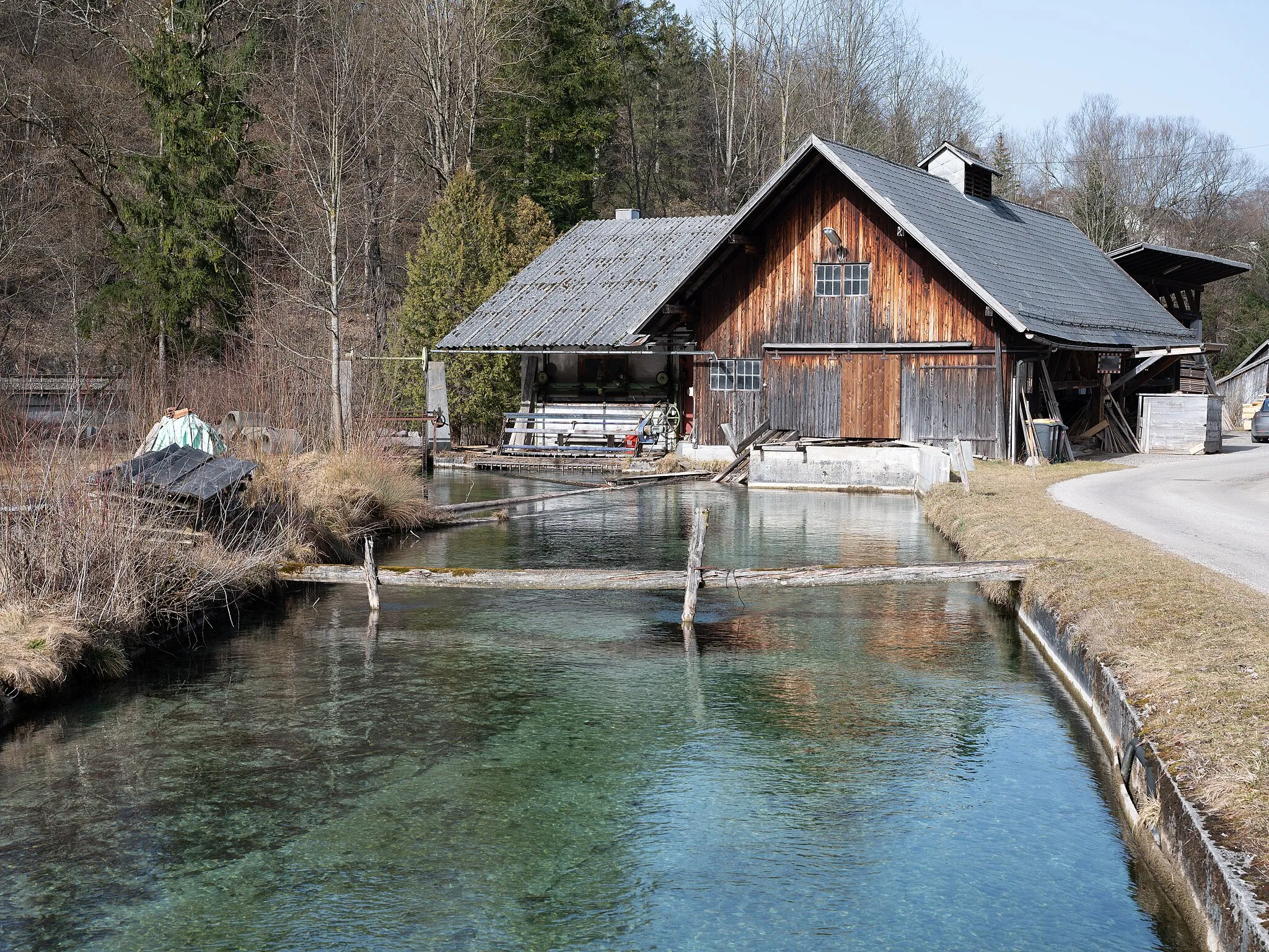
KohlstattPicnic SiteKohlstatt is a hidden gem nestled among nature, where you can take a break and enjoy the tranquility.
33 km
33 km
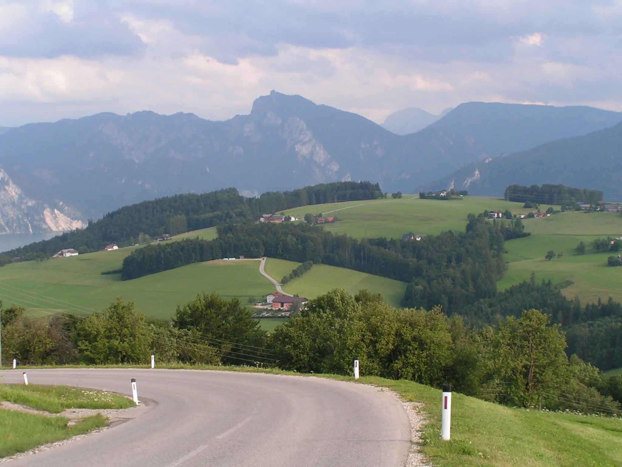
Sterzens AbendsitzViewpointSterzens Abendsitz is the perfect spot to watch the sunset over the lake.
51 km
51 km
Ruine PflindsbergCastleRuine Pflindsberg is a historic castle ruin with a fascinating past.
55 km
55 km
Pötschenpass993 mMountain PassPötschenpass is a challenging climb that rewards you with stunning views at the top.
62 km
62 km
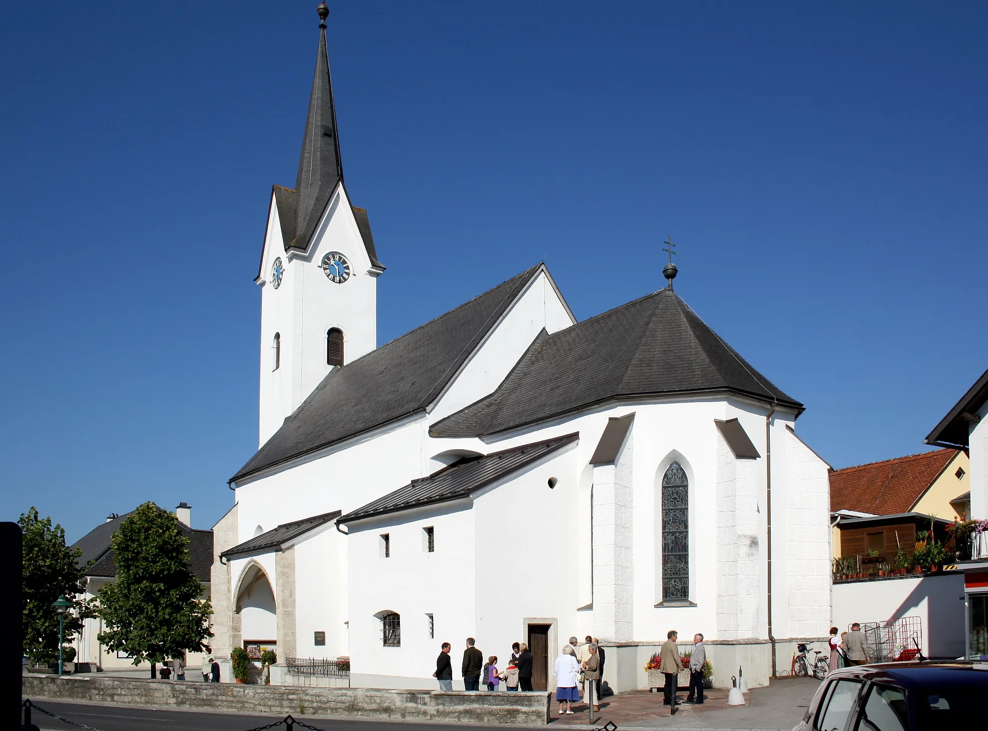
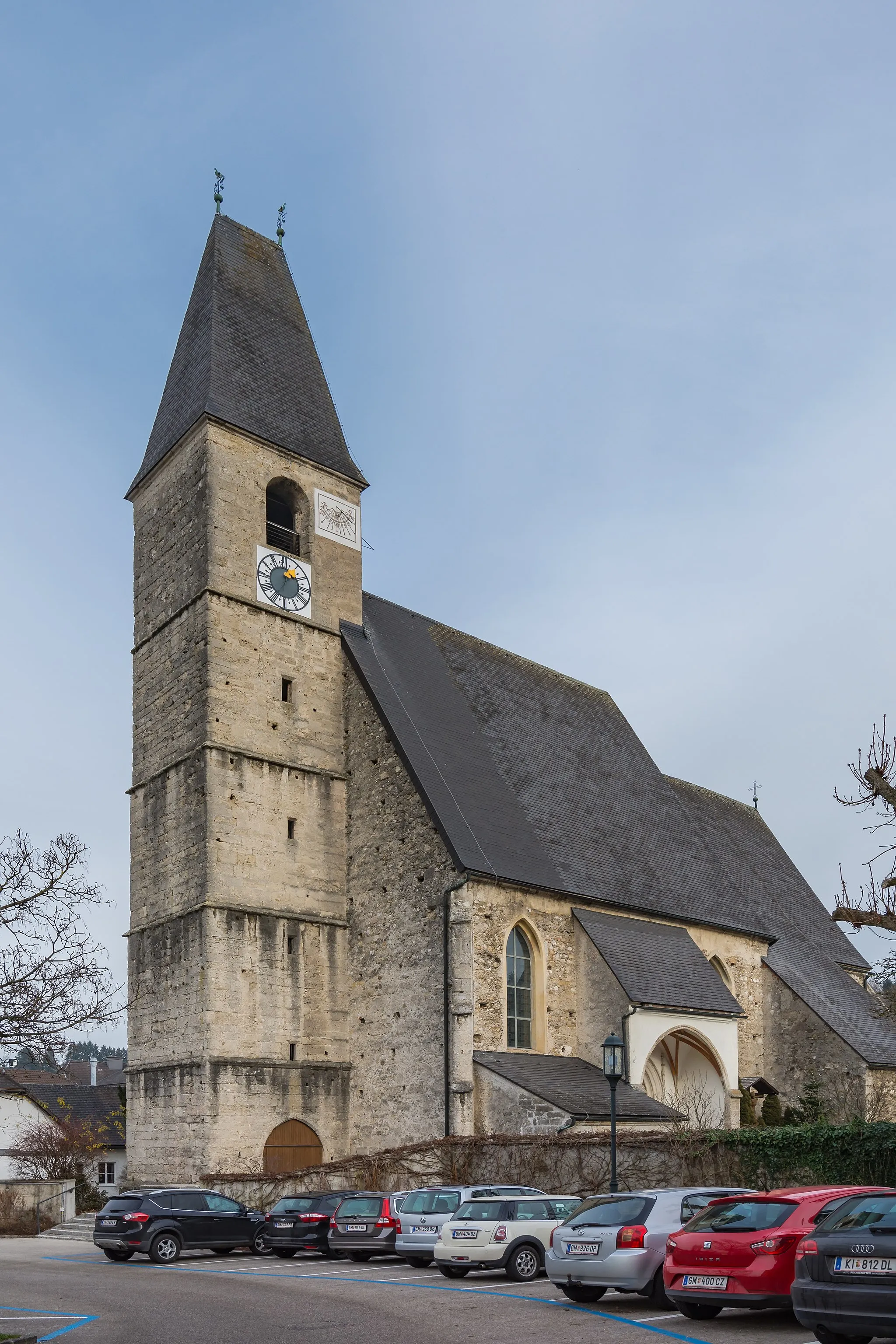
Bad GoisernVillageBad Goisern is a charming town with traditional Austrian architecture and a rich history.
71 km
71 km
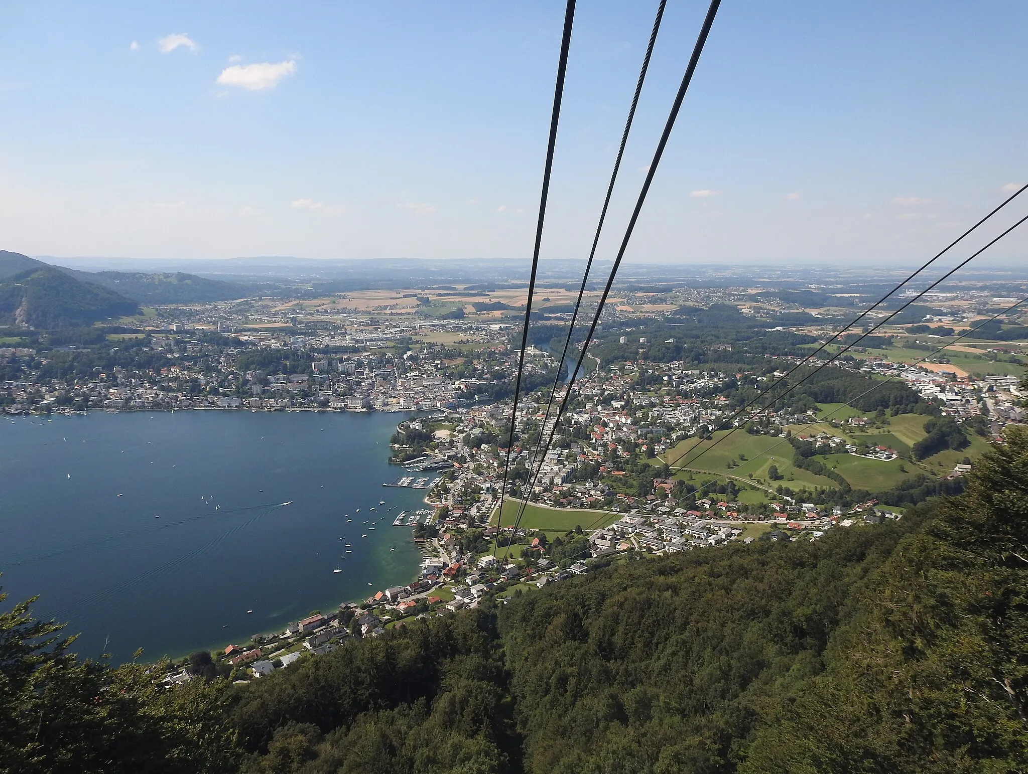
Siriuskogl599 mPeakSiriuskogl is a peaceful hilltop with magnificent views of the surrounding countryside.
87 km
87 km
PlankauHamletPlankau is a quaint village where you can rest and refuel at a local café.
95 km
95 km
Falmbachgupf1006 mPeakFalmbachgupf offers sweeping views of the Traunsee region and a perfect picnic spot.
103 km
103 km
Lueg830 mMountain PassLueg is a vantage point that provides panoramic views of the Traunstein and the Salzkammergut.
120 km
120 km
Traunkirchen BahnhofShelterTraunkirchen Bahnhof is the starting point of the route and worth a visit for its idyllic location by the lake.
122 km
122 km
Finish: Traunkirchen Village centerTraunkirchen: Scenic cycling routes and stunning landscapes in Traunkirchen, Austria.
Cycling routes from Traunkirchen:
Traunkirchen Road Cycling Route Traunkirchen Gravel Cycling Route Traunkirchen Challenging Gravel Route Traunkirchen Long Road Cycling Route Traunkirchen Adventurous Gravel Route Traunkirchen Gravel Adventure The Alpine Adventure Traunkirchen Scenic Loop Traunkirchen Gravel Paradise Gmunden-Traunkirchen Loop Flachberg-Traunkirchen Loop
Cycling routes nearby: