Krenglbach to Gunskirchen Loop
A road cycling route starting from Gunskirchen
Explore the charming villages on this road cycling route from Krenglbach to Gunskirchen
Map
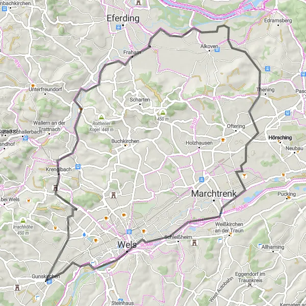
This relatively easy route allows you to soak in the beauty of the Austrian countryside while enjoying gentle climbs and descents. With a total ascent of 252 meters and a distance of 69 kilometers, it is suited for both beginner and intermediate cyclists. Highlights of this route include Krenglbach, Thening, Schleißheim, Lichtenegg, and Gunskirchen Bahnhof.
road
69 km
252 m
Chill
Route profile
Highlights on the route
0 km
0 km
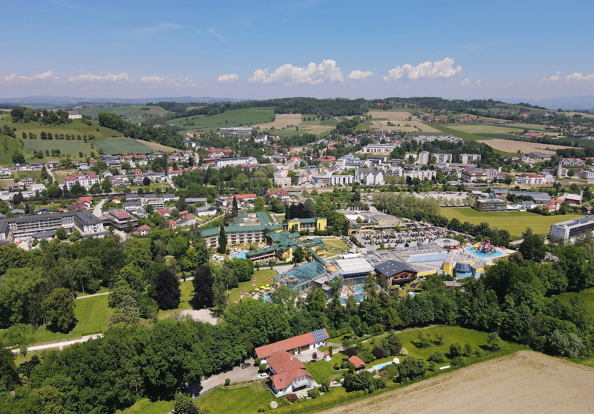
Start: Gunskirchen Village centerGunskirchen: Scenic landscapes and legendary climbs in Oberösterreich, Austria.
Gunskirchen is a picturesque locality situated in Oberösterreich, Austria. As a road and gravel cyclist, Gunskirchen offers fantastic cycling opportunities with its beautiful landscapes and well-maintained roads. The region surrounding Gunskirchen is known for its renowned cycling climbs, including some challenging mountains to conquer. Cyclists visiting Gunskirchen will be delighted by the scenic routes, stunning views, and the chance to tackle famous climbs in the area.10 km
10 km
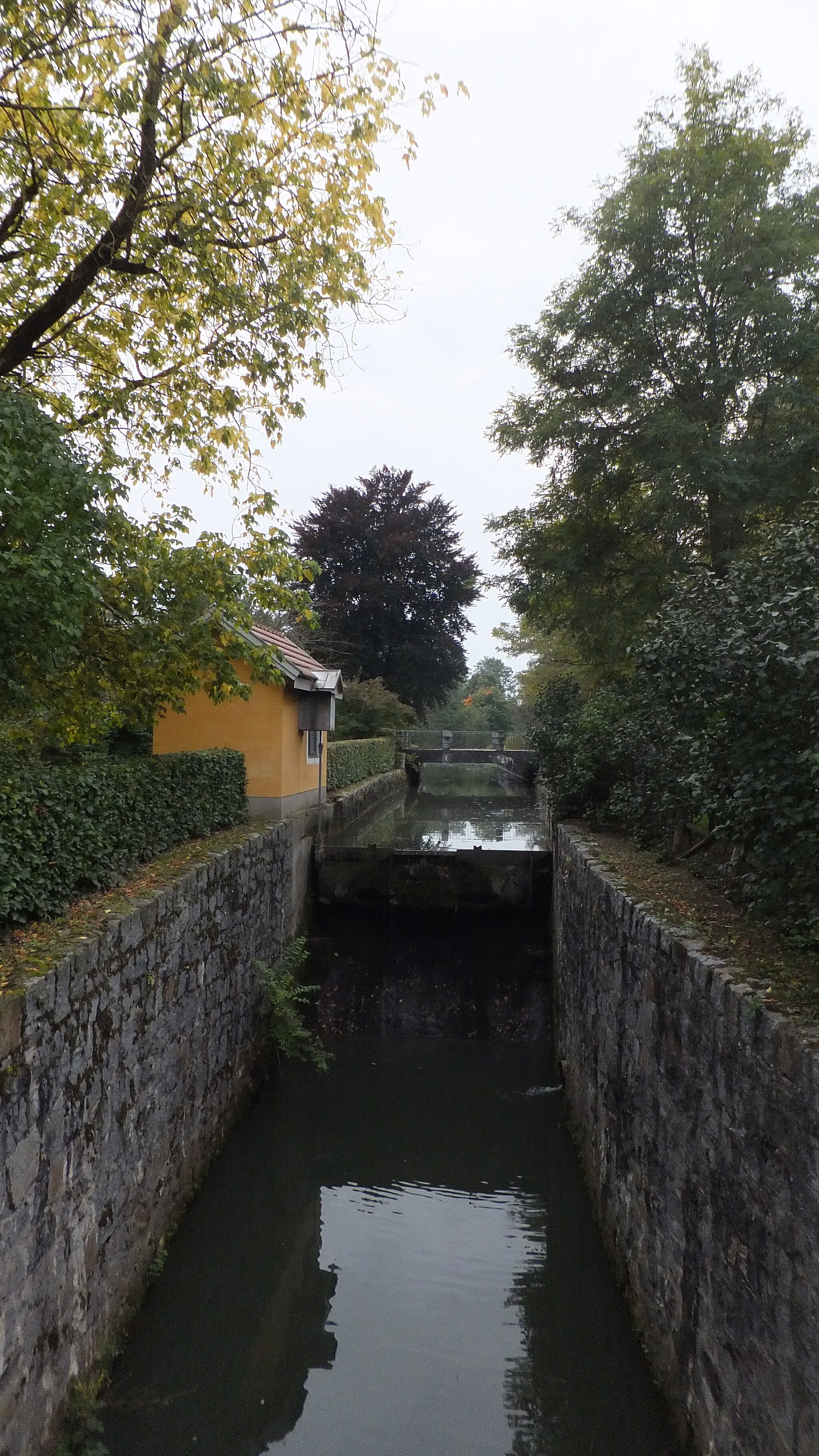
KrenglbachVillageKrenglbach: Start your journey in Krenglbach and enjoy its peaceful atmosphere.
40 km
40 km
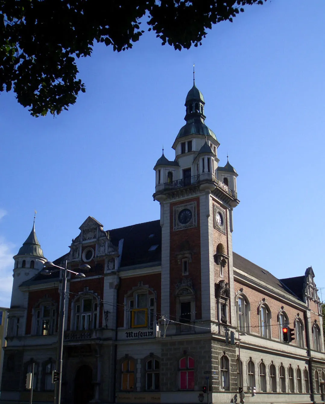
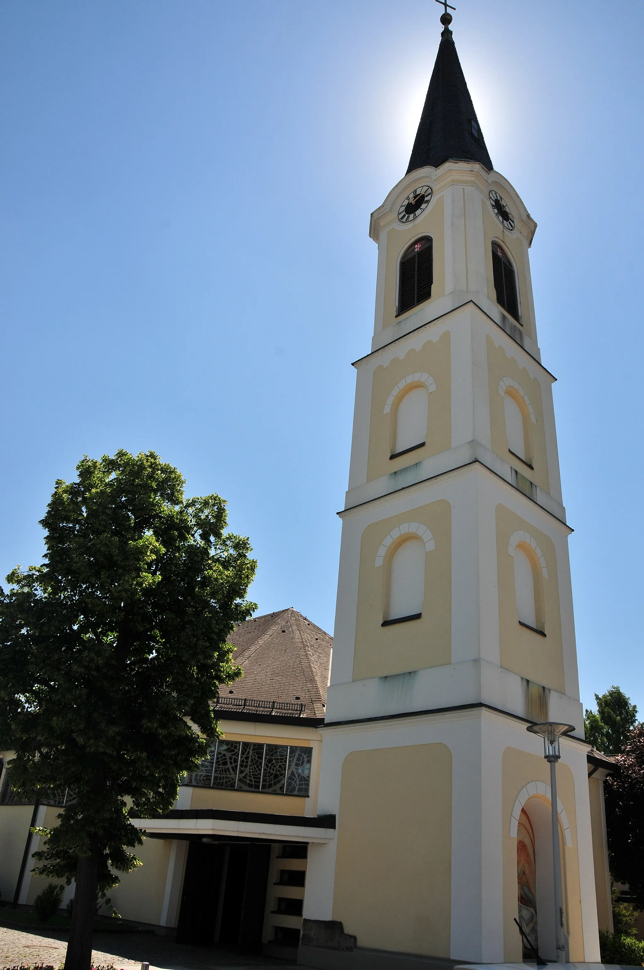
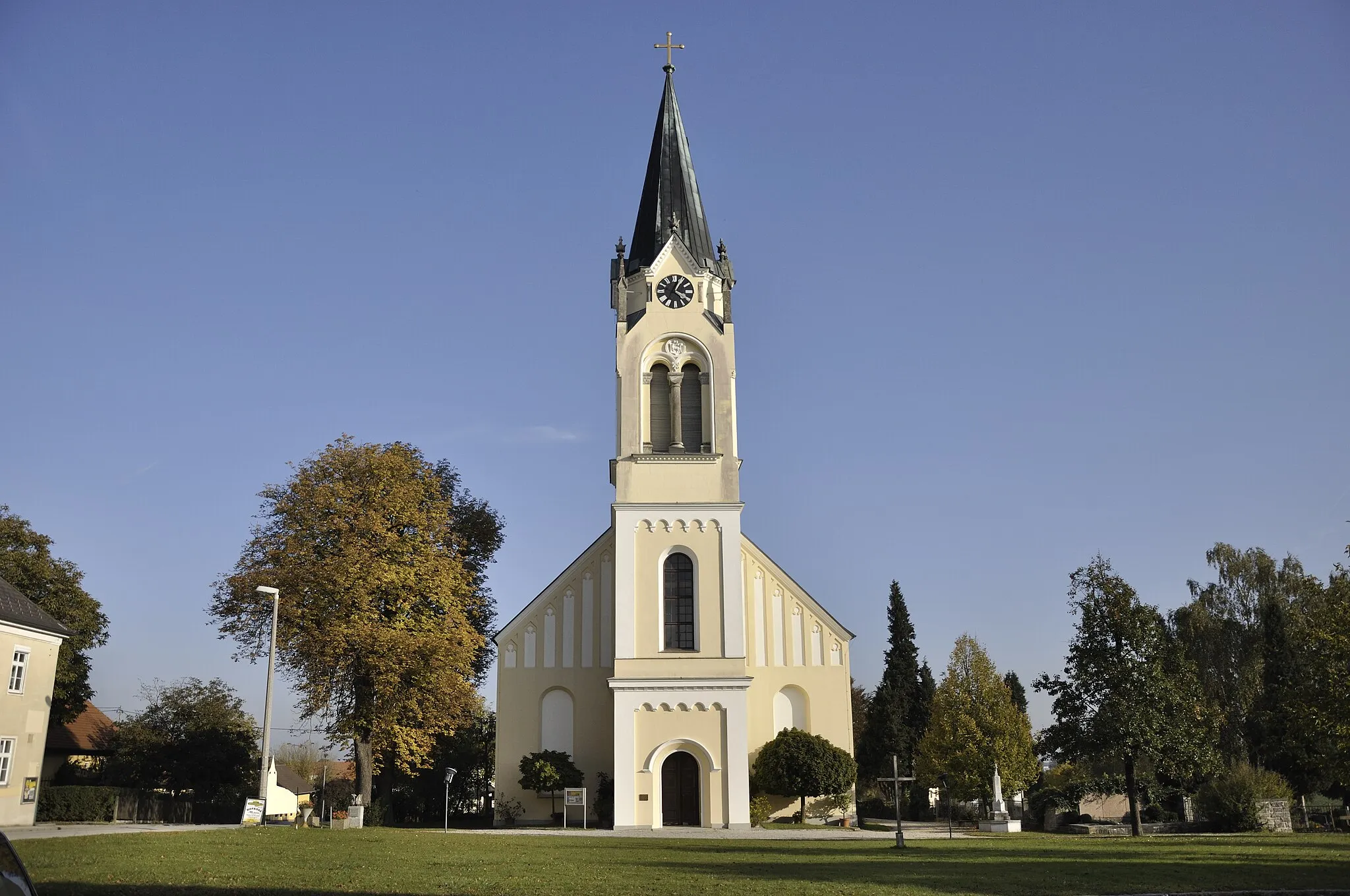
TheningVillageThening: Discover the quaint village of Thening and its beautiful church.
57 km
57 km
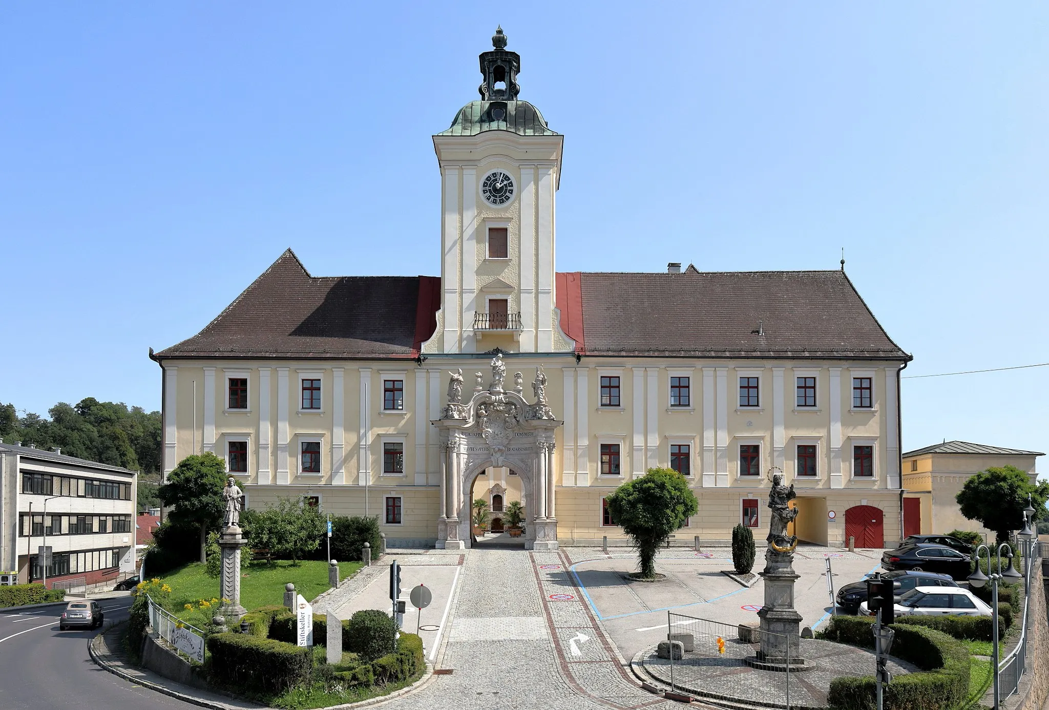
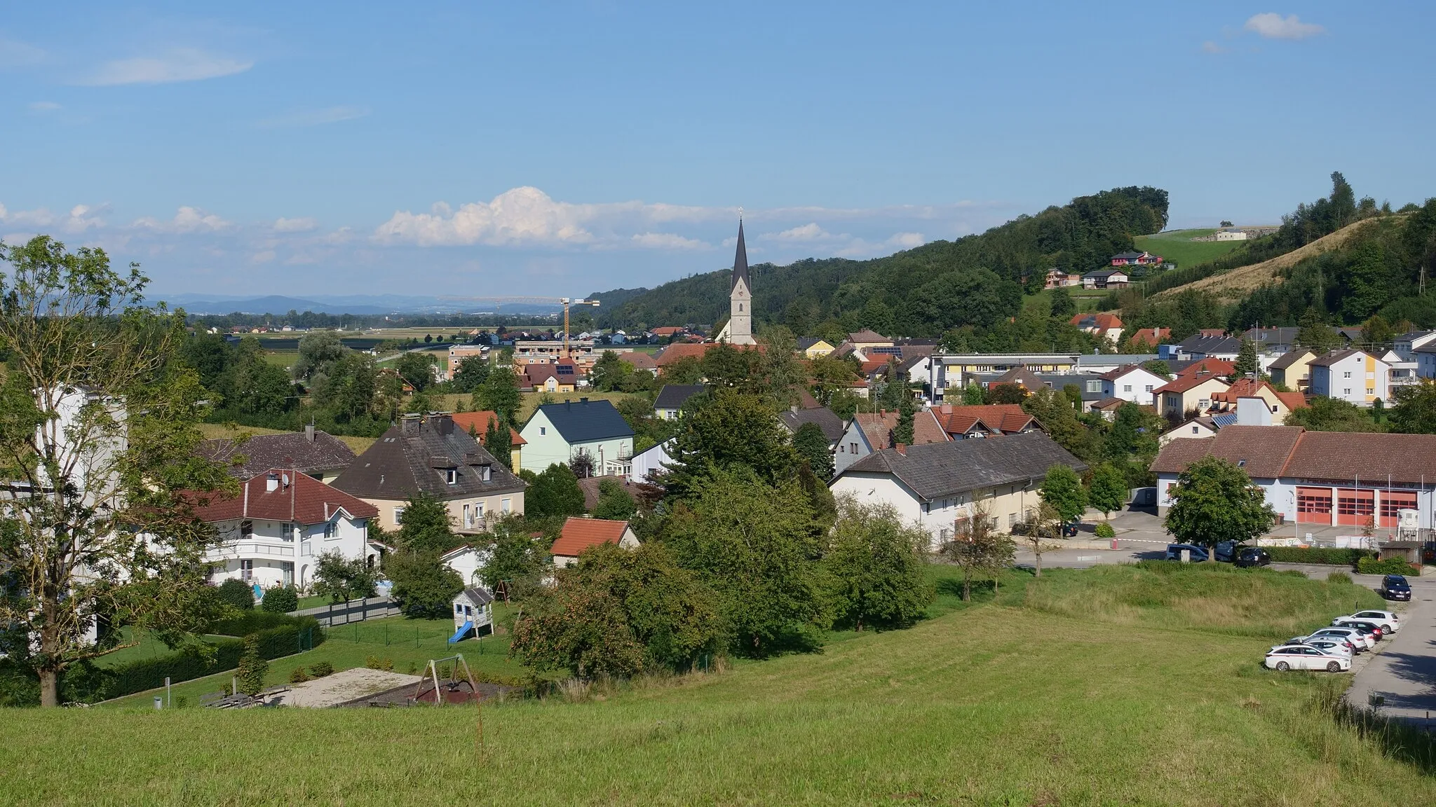
SchleißheimVillageSchleißheim: Ride through the charming town of Schleißheim and marvel at the traditional architecture.
63 km
63 km
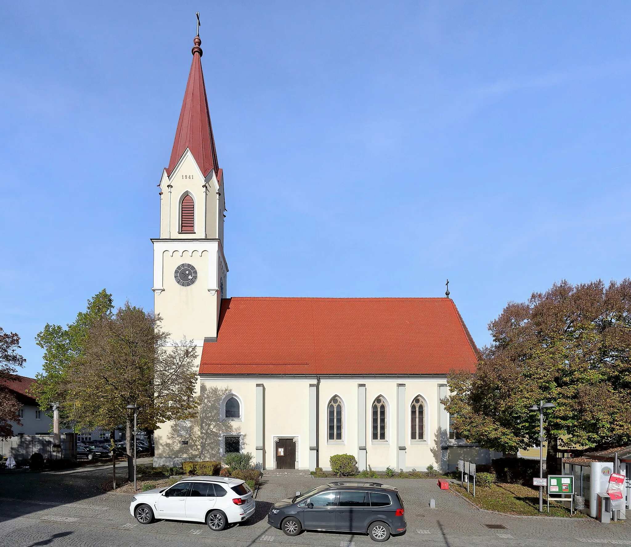
LichteneggSub-urbLichtenegg: Embrace the tranquility of Lichtenegg, surrounded by picturesque landscapes.
69 km
69 km
Gunskirchen BahnhofShelterGunskirchen Bahnhof: End your ride at Gunskirchen Bahnhof and enjoy a relaxing break at one of the local cafes.
69 km
69 km
Finish: Gunskirchen Village centerGunskirchen: Scenic landscapes and legendary climbs in Oberösterreich, Austria.
Cycling routes from Gunskirchen:
Stadl-Paura to Gunskirchen Gravel Loop Gunskirchen to St. Florian Loop Wimsbach-Neydharting Loop Gunskirchen-Lambach Loop Gunskirchen to Bad Wimsbach-Neydharting Loop Eggendorf-Wartberg Loop Wels-Marienwarte Loop Gunskirchen to Schwanenstadt Loop Krenglbach to Gunskirchen Loop Gunskirchen-Molln Adventure Gunskirchen Loop
Cycling routes nearby: