Exploring Engelsberg and Gilgenberg
A road cycling route starting from Mauerkirchen
A scenic road bike route exploring historic sites and beautiful landscapes.
Map
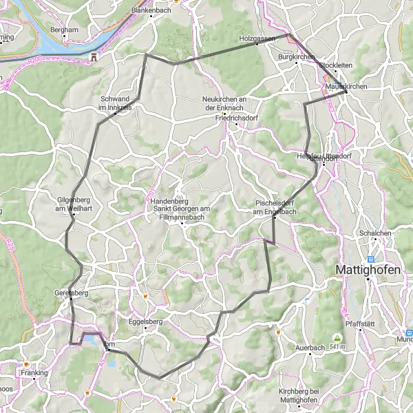
Embark on a scenic road bike journey as you explore historic sites and beautiful landscapes. This route starts near Mauerkirchen and takes you through villages and countryside scenery, with a total ascent of 698 meters and a distance of 63 kilometers. Enjoy the picturesque views and immerse yourself in the history, culture, and natural beauty of the Engelsberg and Gilgenberg regions.
road
63 km
698 m
Tough
Route profile
Highlights on the route
0 km
0 km
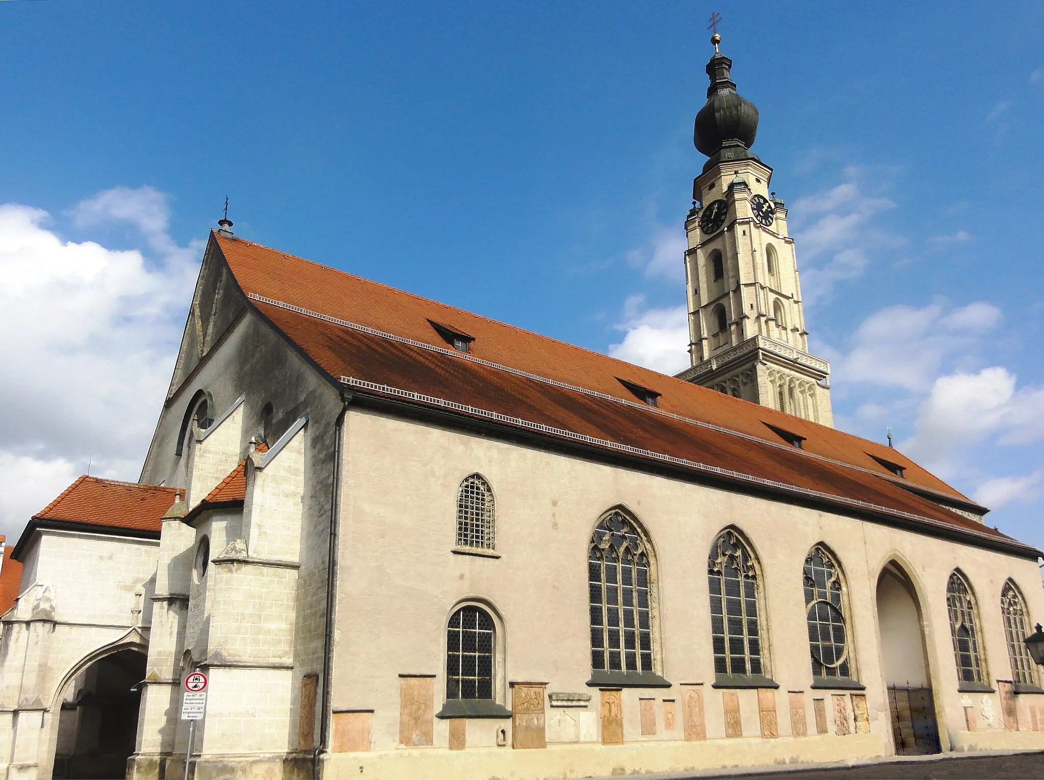
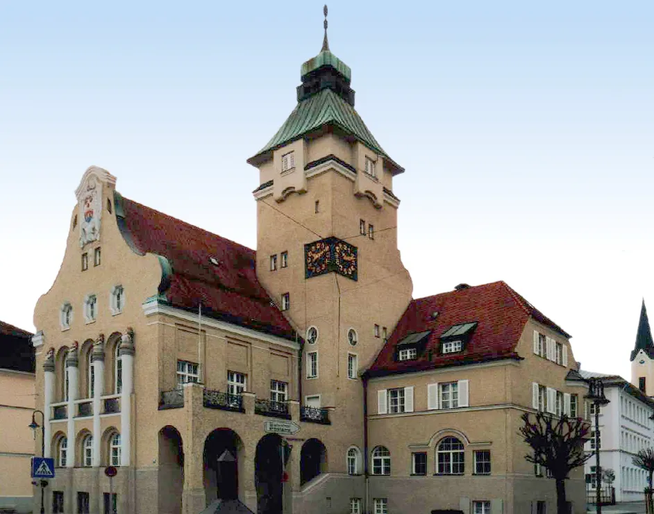
Start: Mauerkirchen Village centerMauerkirchen: Exploring Austrian countryside on two wheels
Mauerkirchen in Oberösterreich, Austria, offers cyclists a range of diverse routes through the picturesque countryside. The region is known for its rolling hills and charming villages, which can be explored via well-marked cycling trails. Cyclists can enjoy the stunning natural landscapes and visit local attractions, such as the Mauerkirchen Castle. Additionally, you can challenge yourself on nearby climbs, like Haugstein. Mauerkirchen is a great destination for road and gravel cyclists, providing both scenic routes and enjoyable sightseeing opportunities.6 km
6 km
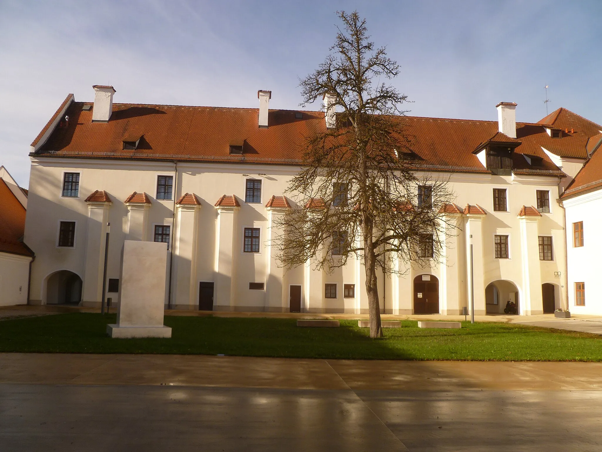
SchlossbergViewpointSchlossberg is a castle located on a hilltop, boasting stunning panoramic views of the surrounding countryside and the nearby town.
11 km
11 km
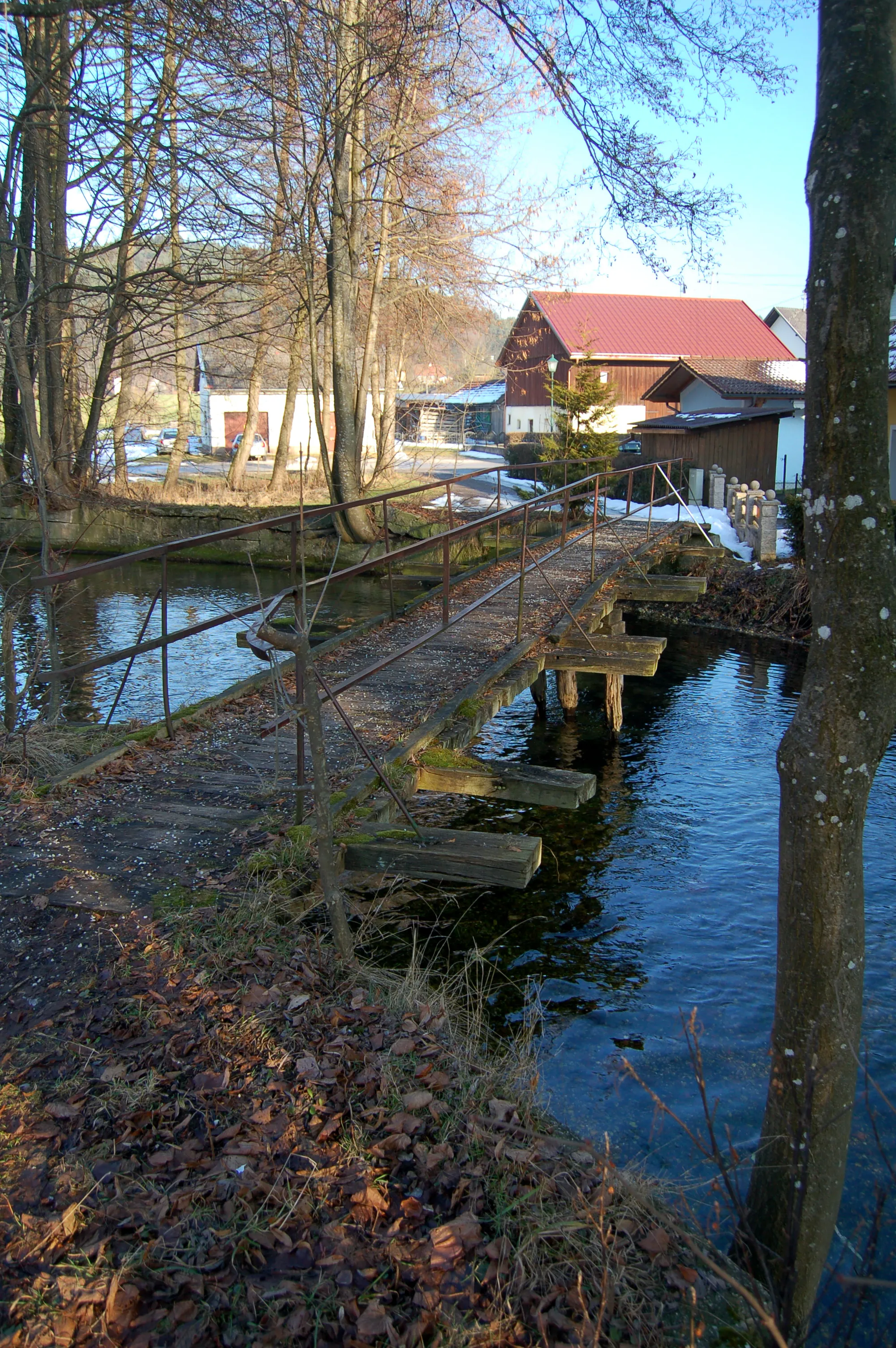
Pischelsdorf am EngelbachVillagePischelsdorf am Engelbach is a charming village situated along the Engelbach River, known for its picturesque scenery and peaceful atmosphere.
22 km
22 km
Marienrast im HimmelreichViewpointMarienrast im Himmelreich is a religious site where visitors can enjoy a moment of tranquility and connect with nature in a peaceful setting.
24 km
24 km
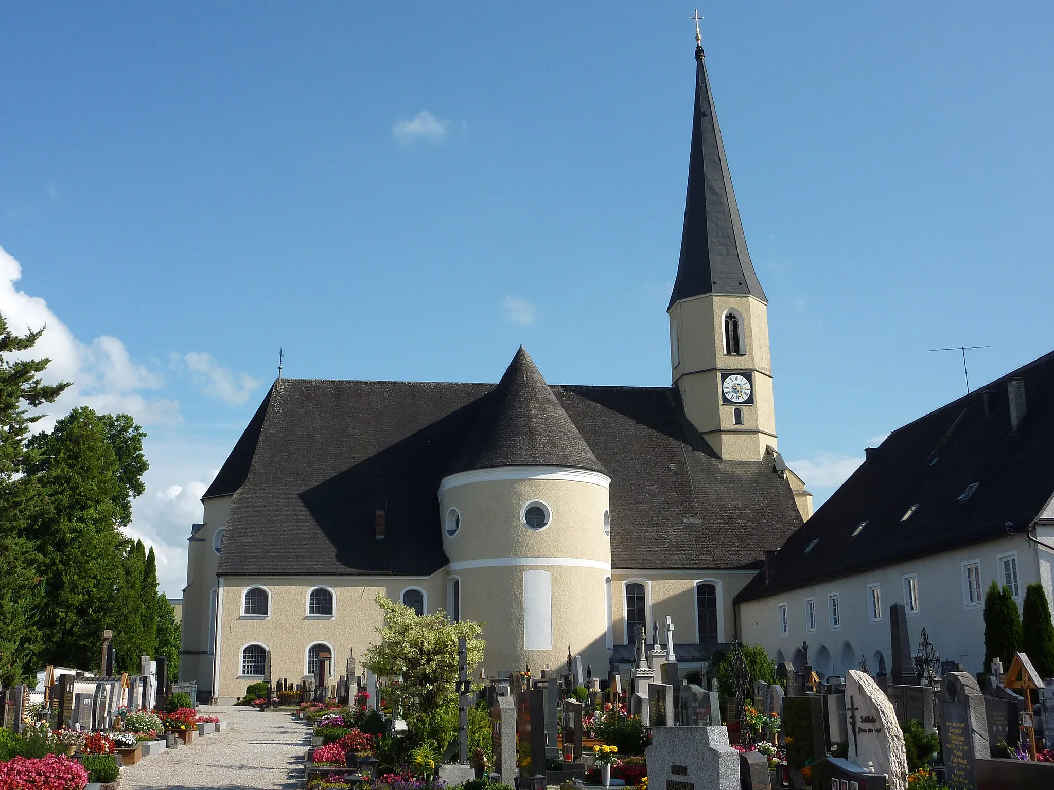
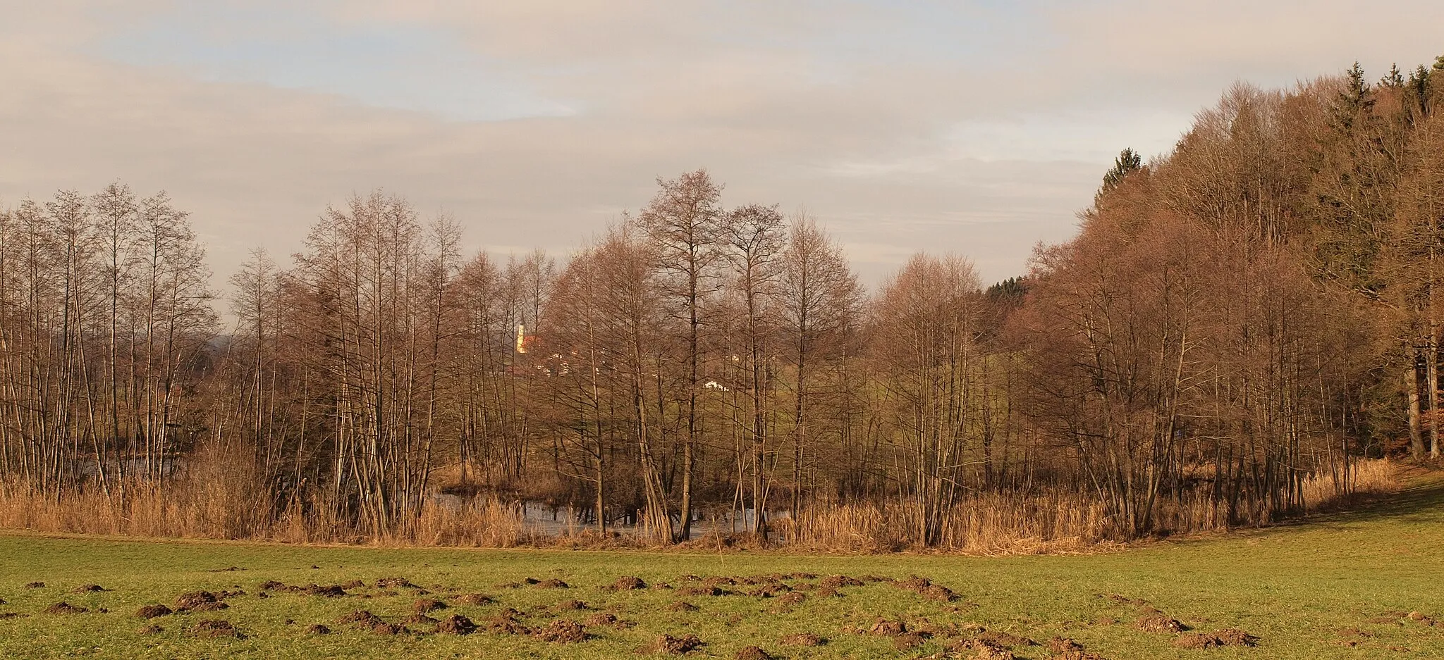
MoosdorfVillageMoosdorf is a small town surrounded by beautiful natural landscapes, offering a calm and serene atmosphere for cyclists to enjoy.
39 km
39 km
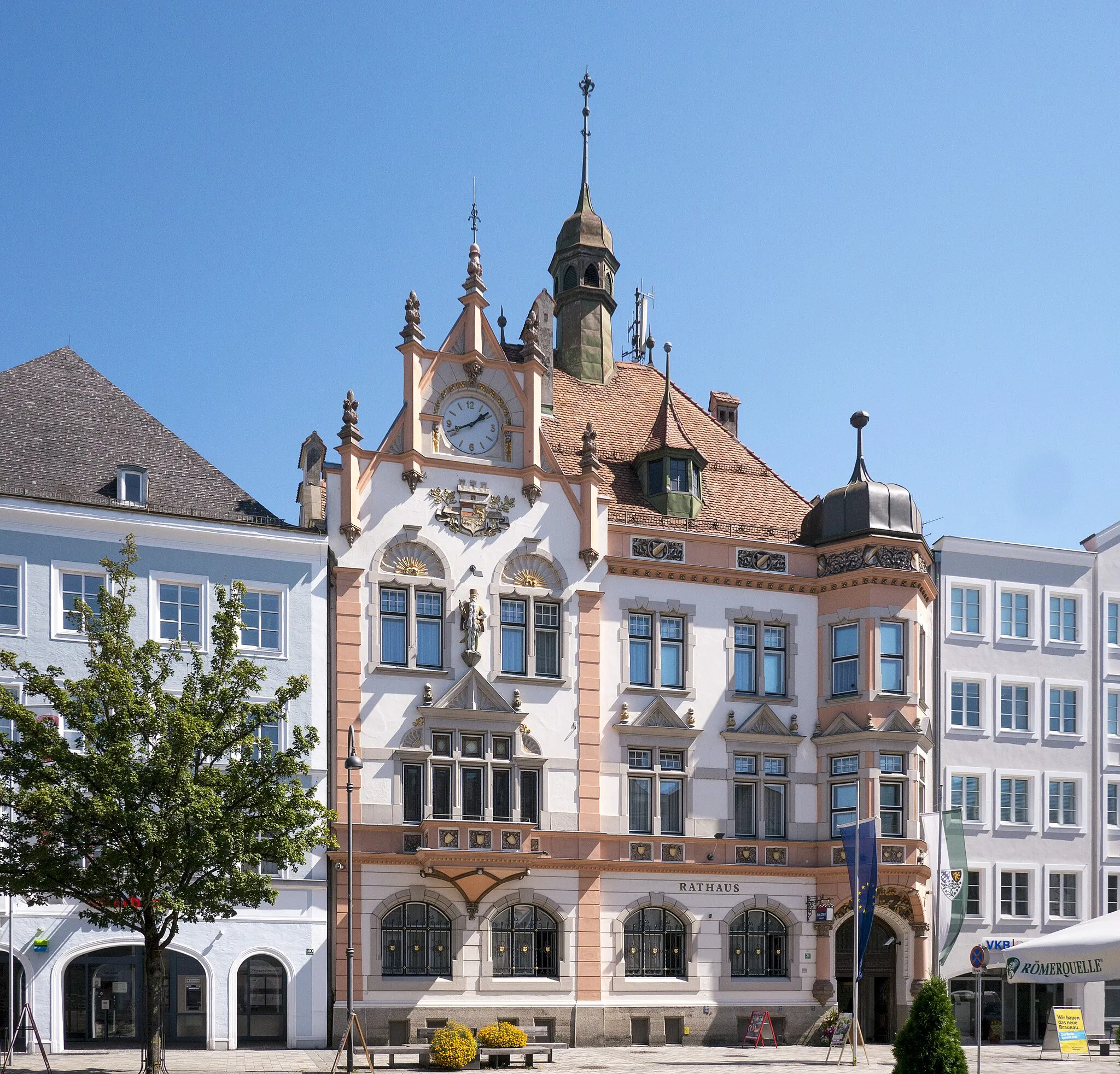
Gilgenberg am WeilhartVillageGilgenberg am Weilhart is a historic market town known for its well-preserved architecture and charming old-world ambiance.
63 km
63 km
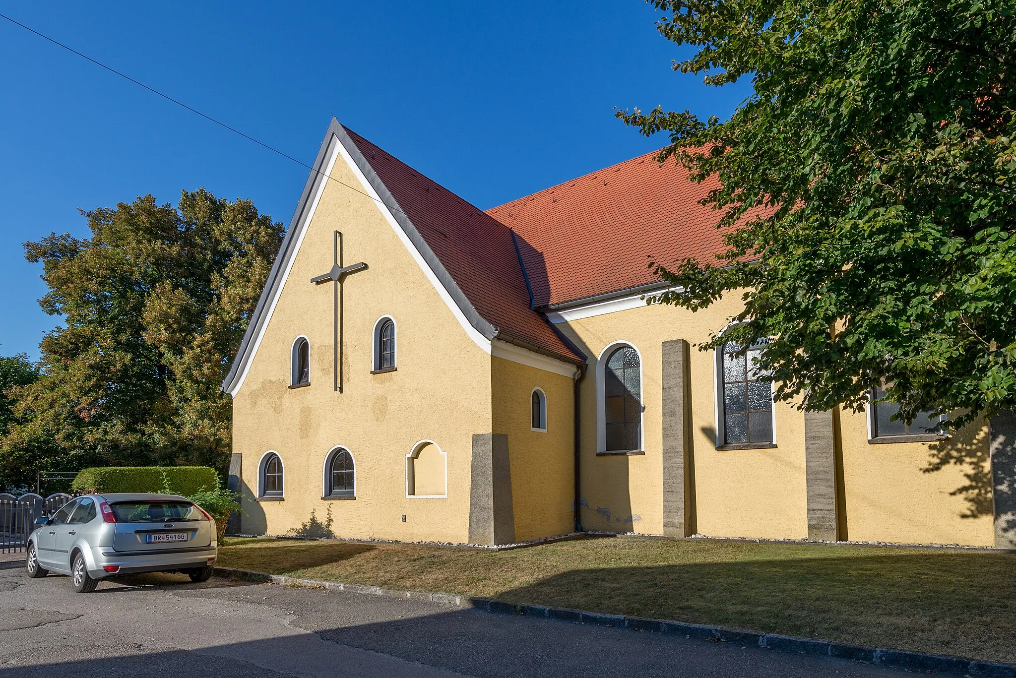
UnterbrunningHamletUnterbrunning is a quaint village surrounded by lush greenery and scenic countryside, providing a tranquil retreat away from the bustling city life.
63 km
63 km
Finish: Mauerkirchen Village centerMauerkirchen: Exploring Austrian countryside on two wheels
Cycling routes from Mauerkirchen:
Mauerkirchen Gravel Adventure Nature Escape: Gravel Edition Mauerkirchen to Ausblickplatz Mauerkirchen to Braunau am Inn Loop Mauerkirchen to Mattighofen Loop Mauerkirchen to Ering Loop Mauerkirchen to Burghausen Loop Castle Loop through Innkreis Mauerkirchen to Mauerkirchen Loop Exploring Engelsberg and Gilgenberg Loop through Oberoesterreich Castle Tour Epic Oberoesterreich Countryside Tour Gravel Expedition to Rural Treasures
Cycling routes nearby: