Traun Valley Tour
A road cycling route starting from Sierning
Explore the picturesque Traun Valley
Map
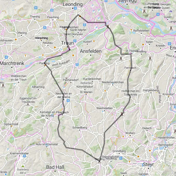
The Traun Valley Tour takes you on a journey through the stunning landscape of the Traun Valley. You'll pedal past rolling hills, crystal-clear lakes, and charming villages. The route includes some challenging climbs, making it a great option for experienced cyclists looking for a mix of beauty and adrenaline. Don't forget to stop and take in the breathtaking views along the way.
road
71 km
650 m
Tough
Route profile
Highlights on the route
0 km
0 km
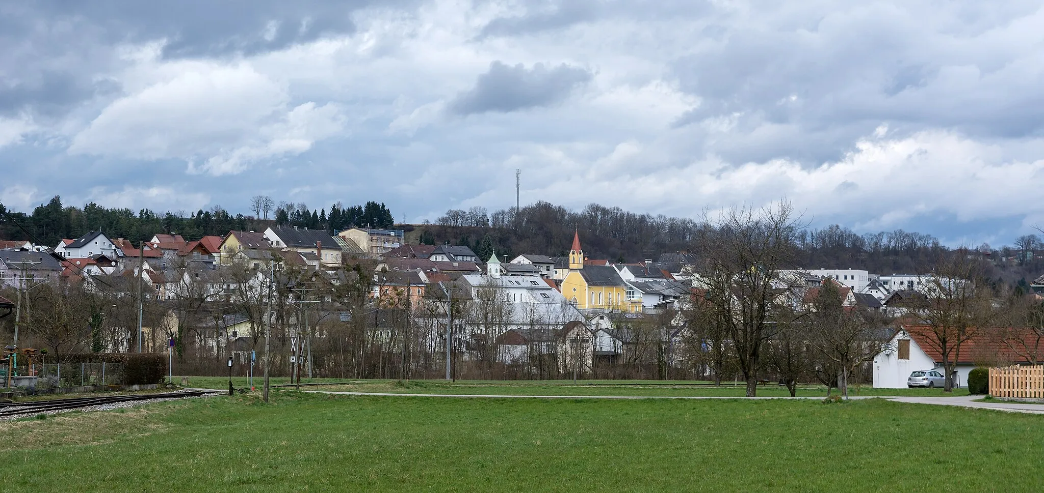
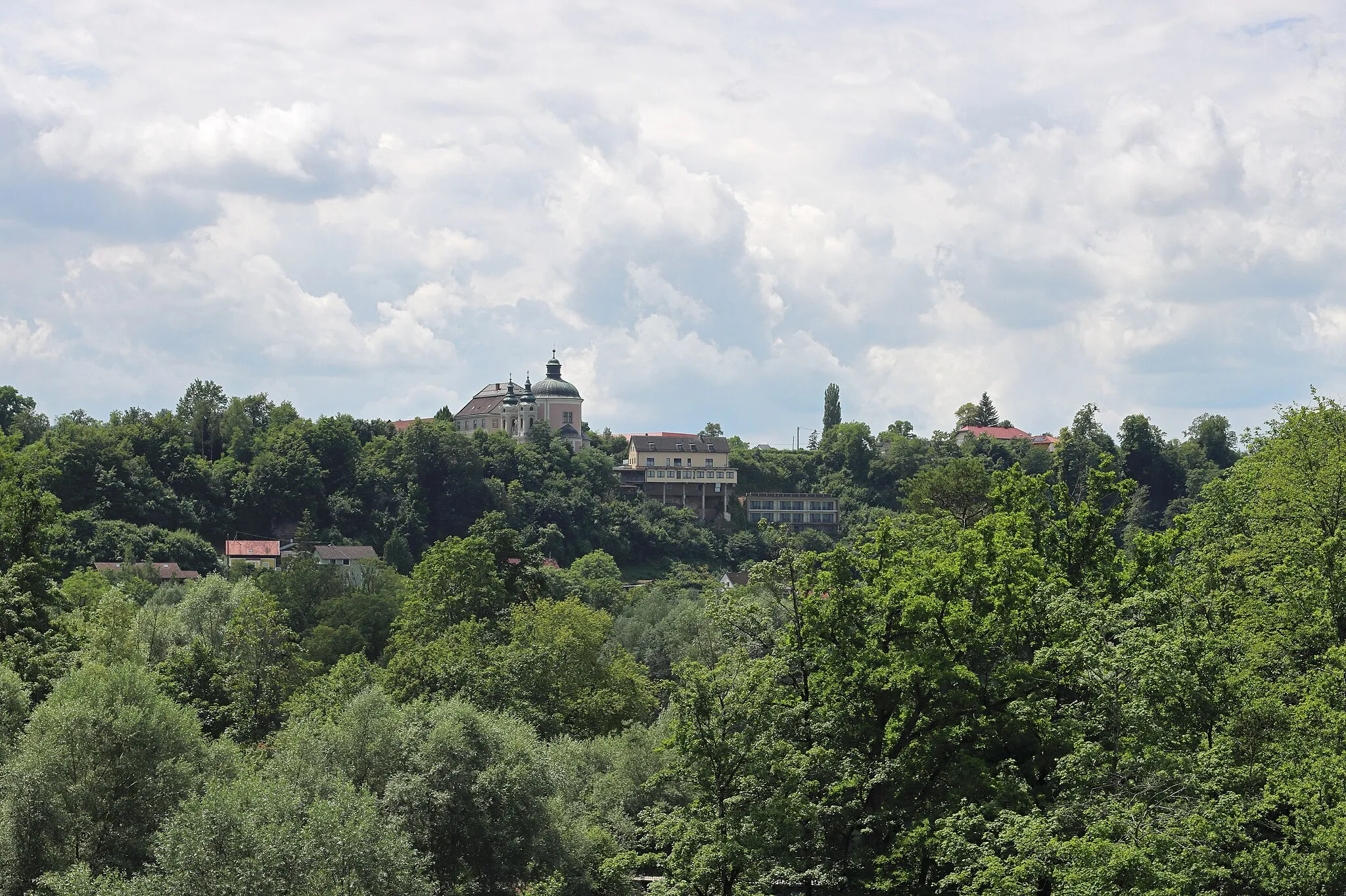
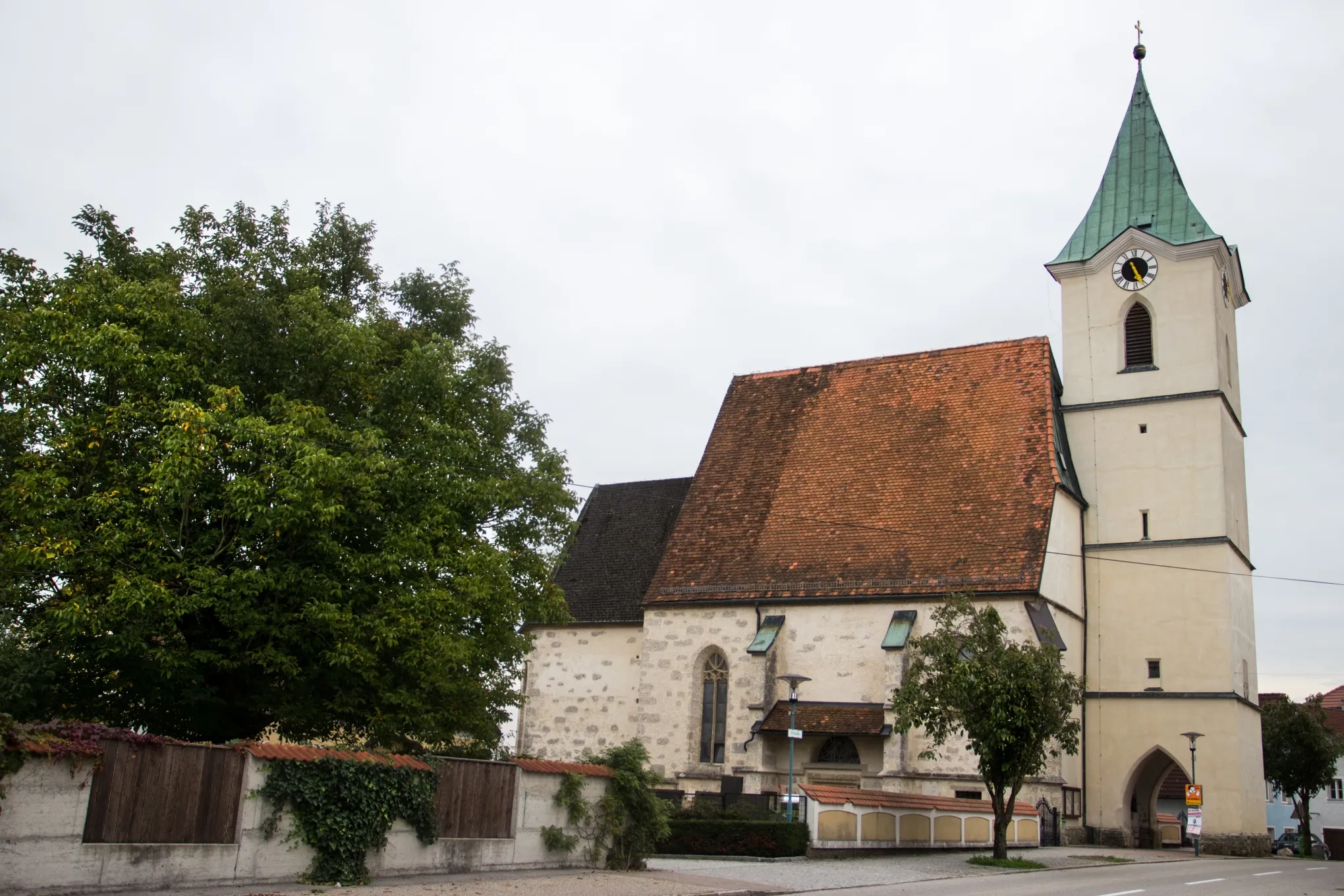
Start: Sierning Village centerSierning: Exploring the Nationalpark Kalkalpen near Sierning
Sierning, situated in Oberösterreich, Austria, offers a mix of rural and urban cycling experiences. Cyclists can enjoy peaceful routes through quaint villages and beautiful countryside. One of the highlights in the area is the nearby Nationalpark Kalkalpen, which is home to various well-paved trails suitable for road and gravel cyclists. Sierning itself is a small town with limited cycling-specific infrastructure, but cyclists can find essential services and facilities nearby. Overall, Sierning provides a pleasant environment for cycling enthusiasts looking to explore the natural beauty of Oberösterreich.13 km
13 km
PiberbachVillageMake a detour to Piberbach and discover its rich history and picturesque surroundings.
30 km
30 km
TraunTownVisit Traun and explore its beautiful riverside promenade and historic buildings.
43 km
43 km
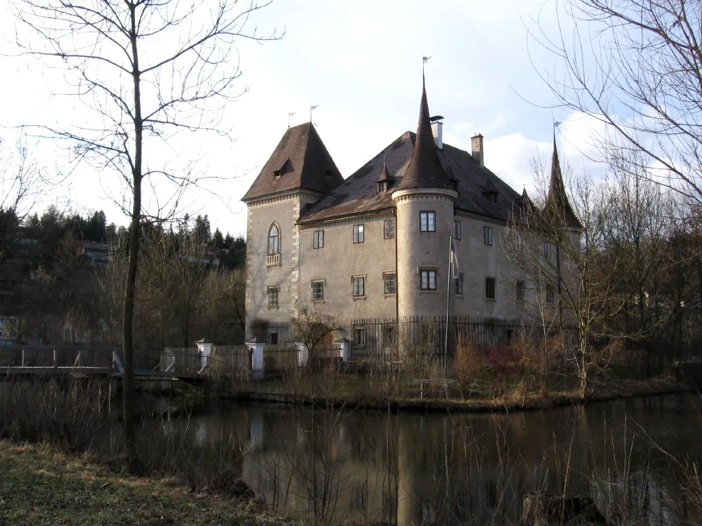
EbelsbergSub-urbExperience the charm of Ebelsberg with its impressive castle and romantic waterfront.
44 km
44 km
Schiltenberg337 mPeakCycle up to the summit of Schiltenberg and enjoy panoramic views of the Traun Valley.
58 km
58 km
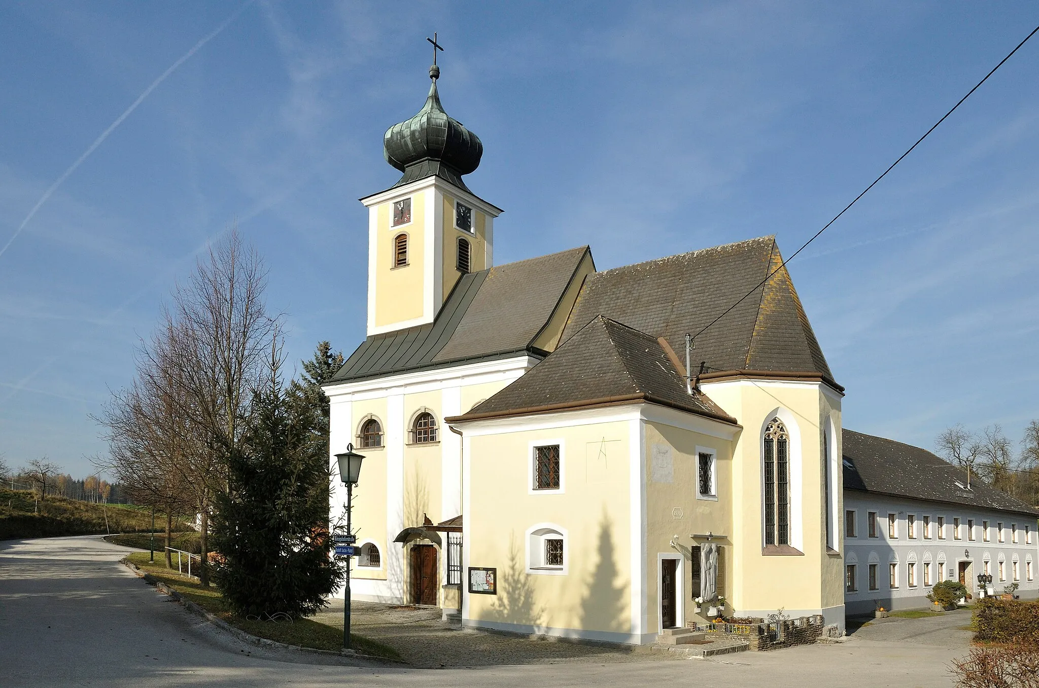
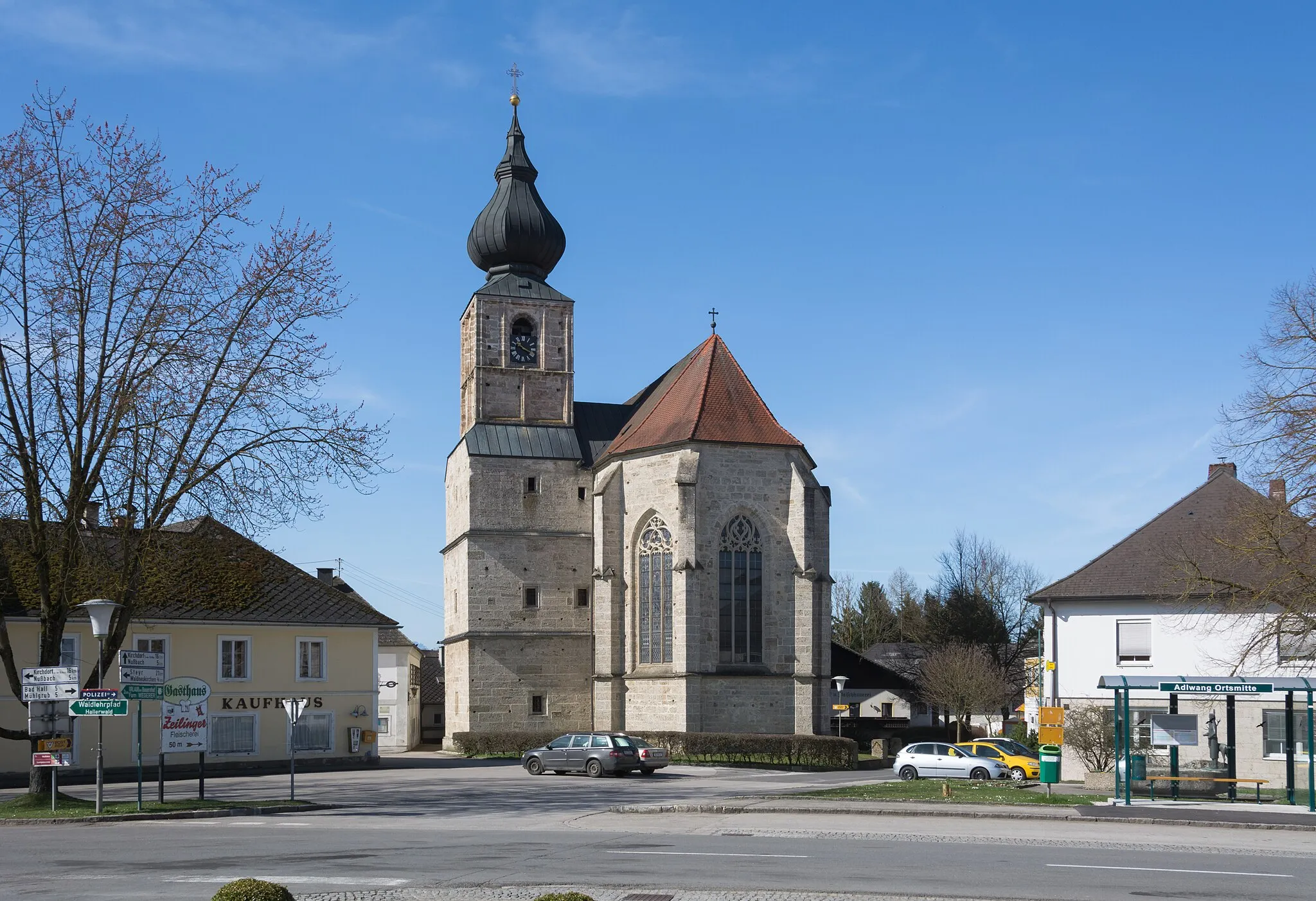
Hofkirchen im TraunkreisVillagePass through the village of Hofkirchen im Traunkreis and admire its traditional Austrian architecture.
70 km
70 km
Sierning UntermühlenShelterFinish your ride in Sierning Untermühlen, a tranquil village with beautiful surrounding nature.
71 km
71 km
Finish: Sierning Village centerSierning: Exploring the Nationalpark Kalkalpen near Sierning
Cycling routes nearby: