Gesäuse Gravel Adventure
A gravel cycling route starting from Windischgarsten
Embark on an exhilarating gravel adventure through the stunning Gesäuse national park.
Map
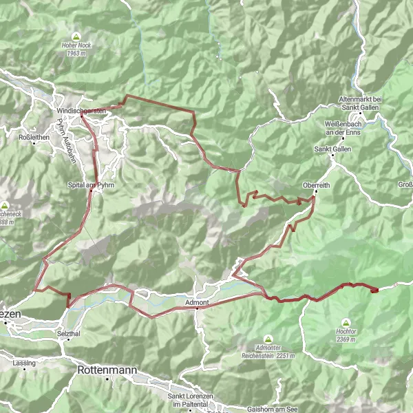
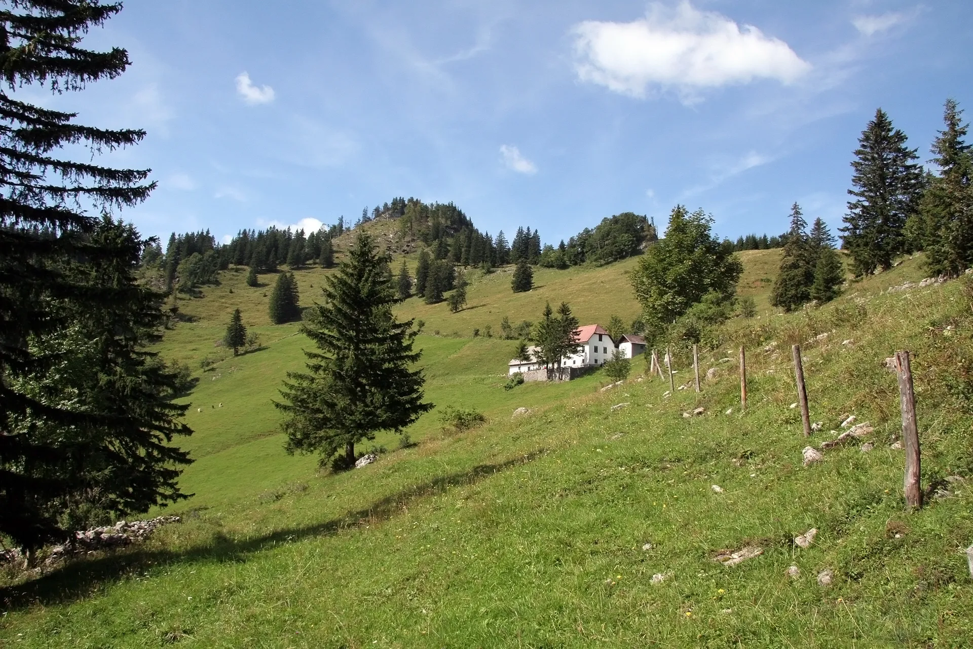
Experience the wild beauty of the Gesäuse region on this challenging gravel route. With a total ascent of 3,494 meters and a distance of 123 kilometers, this route will put your skills to the test. Navigate through diverse terrain, from winding forest trails to rocky paths, as you explore highlights such as the Wurbauerkogel viewing platform and Gstatterboden for a stunning panoramic view of the surroundings. This route is perfect for experienced gravel riders looking for an epic cycling adventure.
gravel
123 km
3494 m
Tough
Route profile
Highlights on the route
0 km
0 km
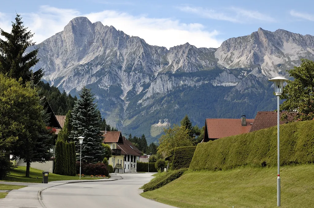
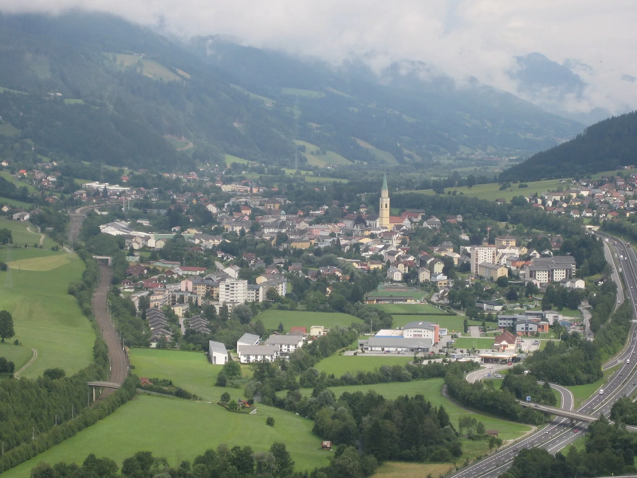
Start: Windischgarsten Village centerWindischgarsten: Outdoor Cycling Haven in Oberösterreich
Windischgarsten is a charming locality located in Oberösterreich, Austria. From a cyclist's perspective, Windischgarsten offers a variety of cycling routes suitable for beginners to advanced riders. The area features well-maintained roads that provide stunning views of the surrounding alpine landscapes. One of the well-known climbs nearby is the Gleinkersee climb, which is popular among both road and gravel cyclists. Windischgarsten is also home to various cycling events and competitions throughout the year. Overall, Windischgarsten is a cyclist's paradise, offering breathtaking scenery, challenging climbs, and a vibrant cycling community.0 km
0 km
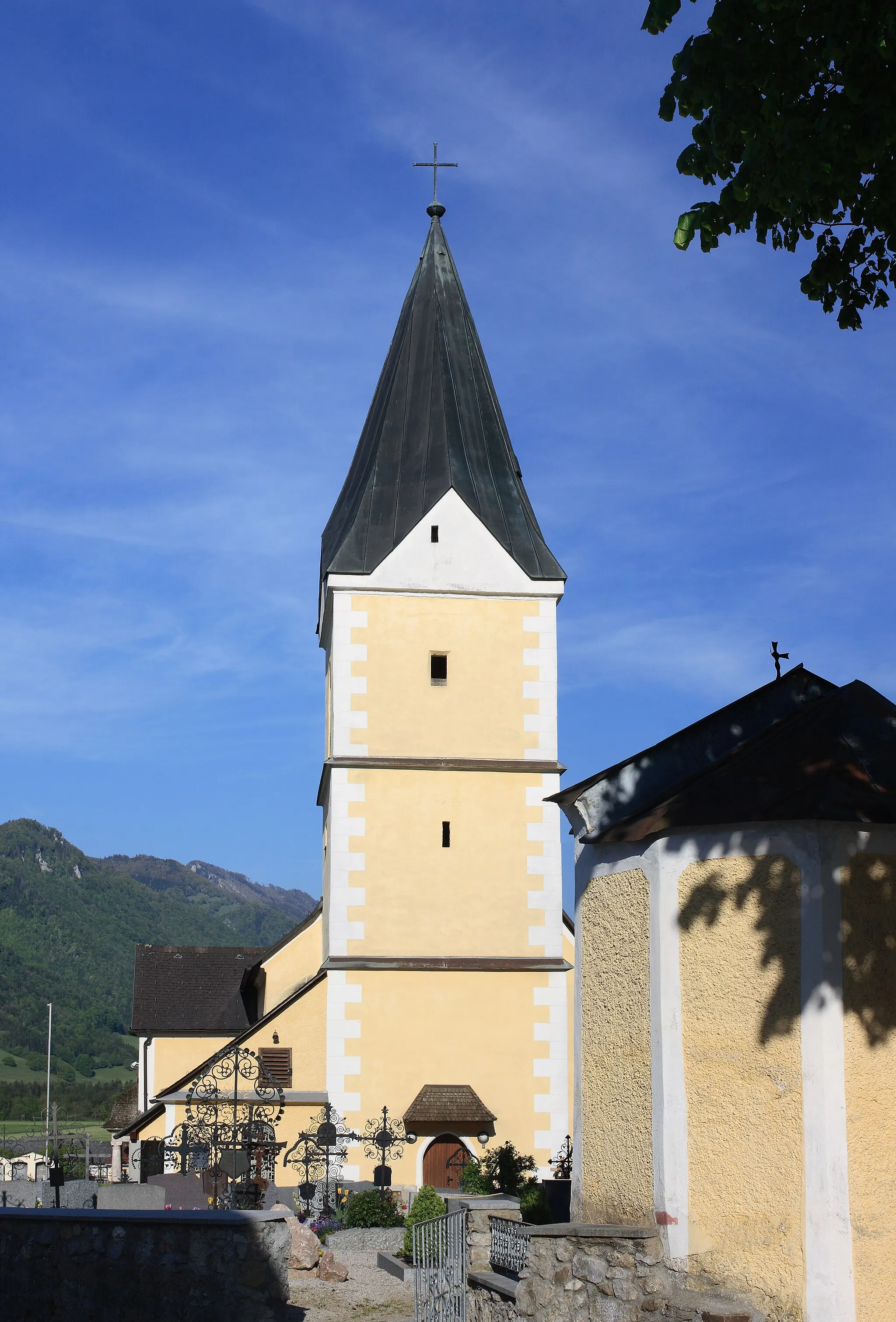
WindischgarstenVillageExplore the charming town of Windischgarsten, the starting point of your journey.
1 km
1 km
Wurbauerkogel858 mViewpointAdmire the breathtaking views from the Wurbauerkogel viewing platform.
11 km
11 km
Zeitschenberg1433 mPeakClimb up Zeitschenberg and enjoy stunning vistas along the way.
28 km
28 km
Admonter Höhe1272 mMountain PassChallenge yourself with the ascent to Admonter Höhe, one of the highest points on the route.
37 km
37 km
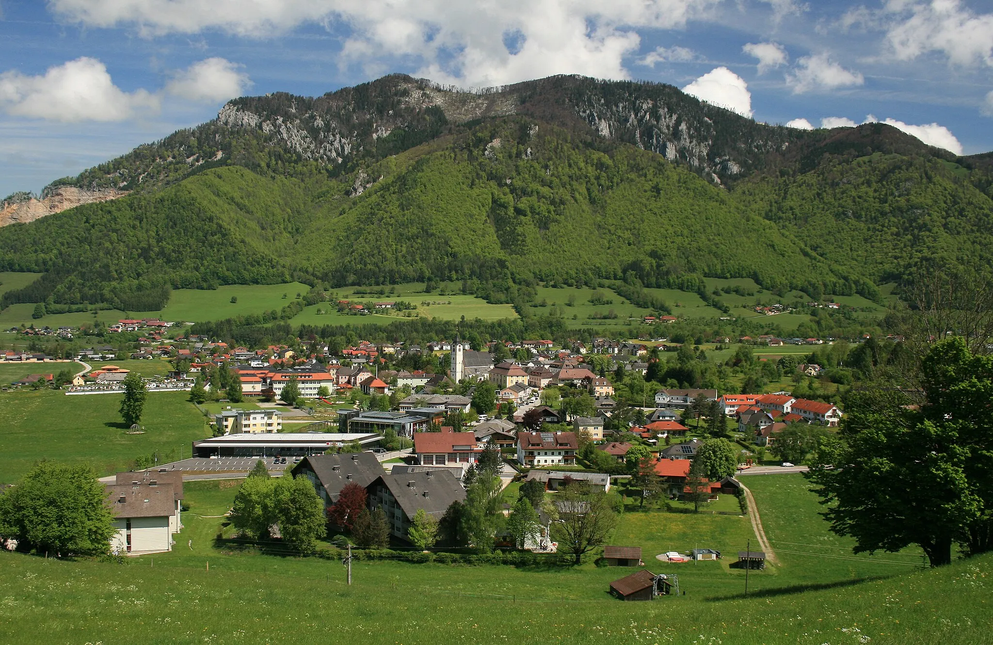
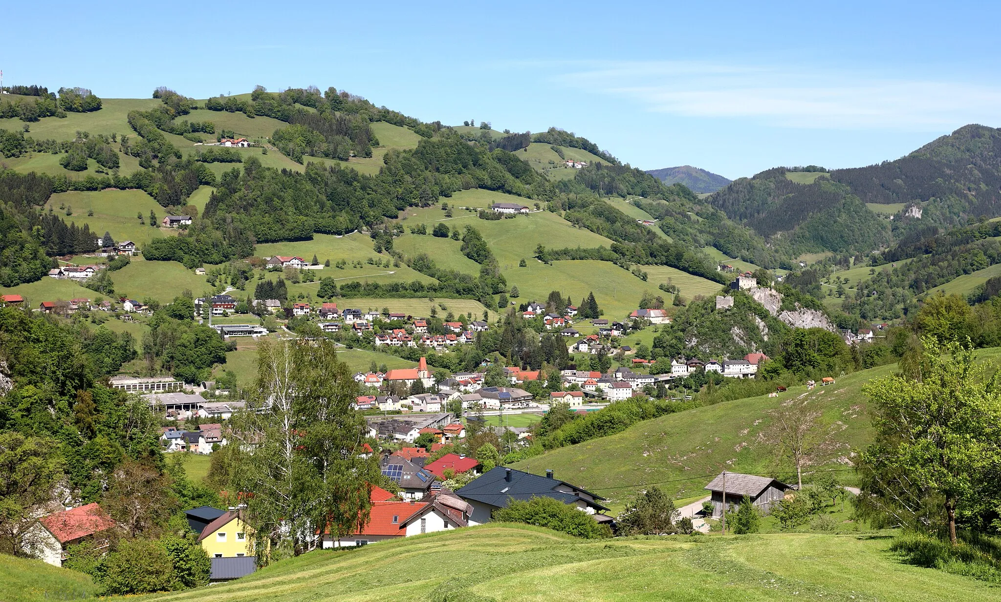
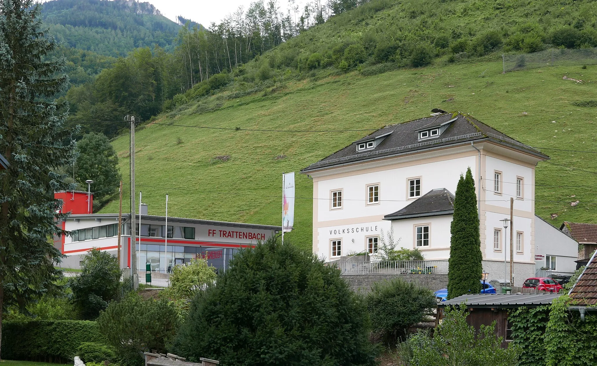
GriesbachHamletStop by Griesbach for a refreshing break and take in the picturesque surroundings.
47 km
47 km
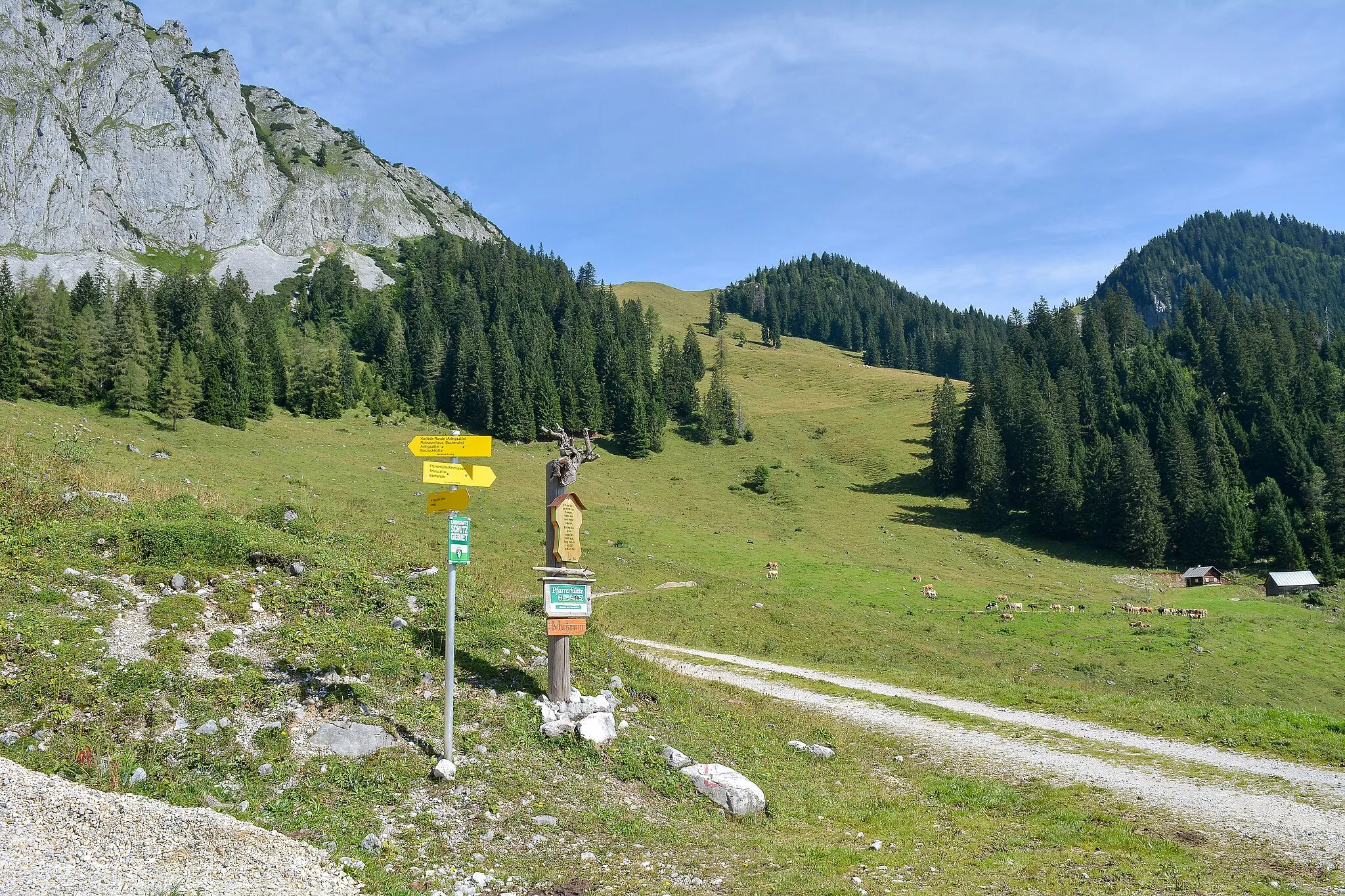
Buchauer Sattel861 mMountain PassReach the summit of Buchauer Sattel and enjoy panoramic views of the Gesäuse mountains.
49 km
49 km
Weng im GesäuseHamletPass through the charming village of Weng im Gesäuse and savor its peaceful atmosphere.
61 km
61 km
GstatterbodenHamletVisit Gstatterboden and take in the awe-inspiring view of the surrounding landscapes.
63 km
63 km
Gstatterstein1390 mPeakMarvel at the unique rock formation known as Gstatterstein.
72 km
72 km
Bruckstein1388 mPeakWitness the beauty of the Bruckstein cliffs as you ride past.
83 km
83 km
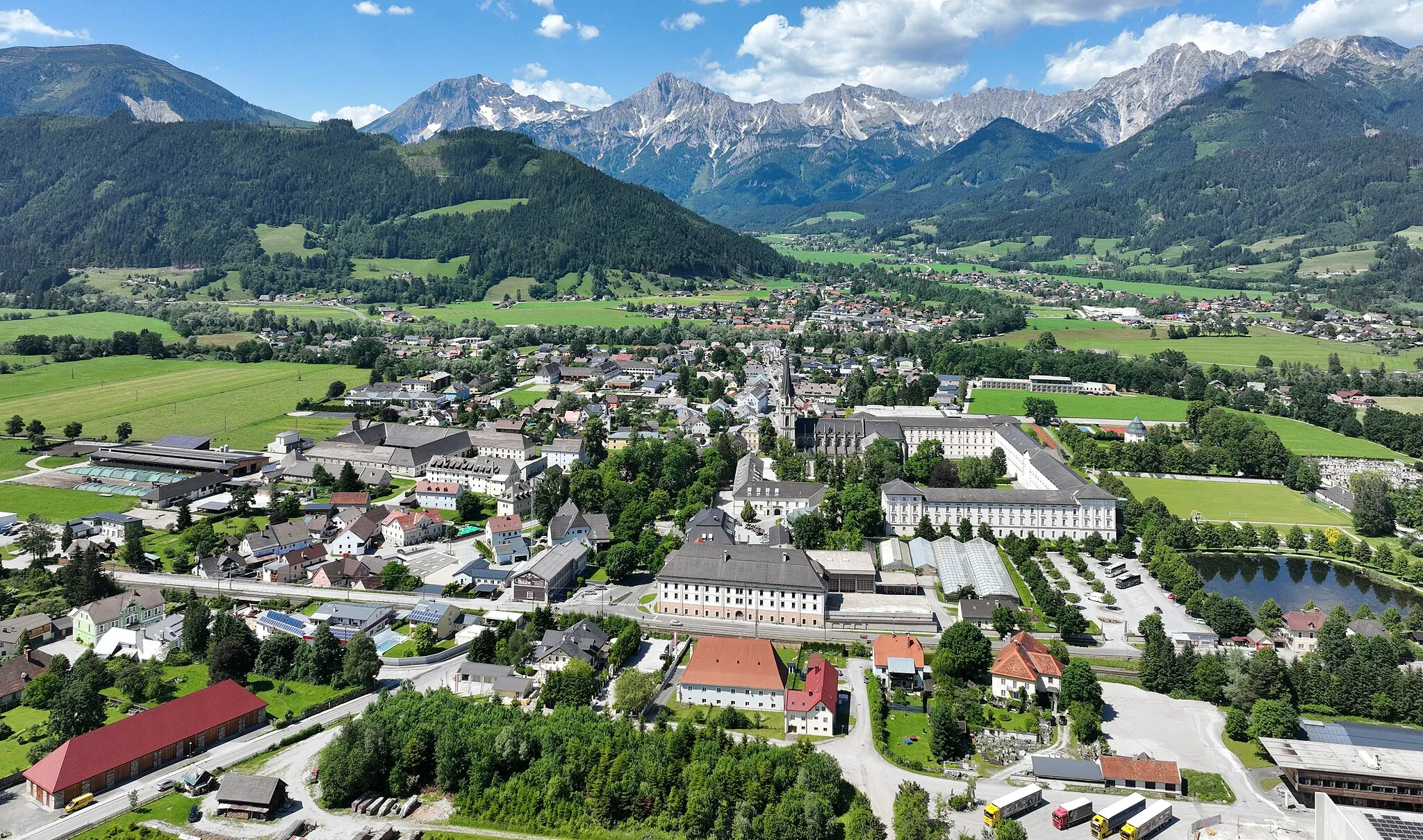
AdmontVillageMake a stop in Admont and visit its famous Benedictine monastery.
93 km
93 km
ArdningVillagePass through Ardning and admire its charming architectural heritage.
95 km
95 km
Moor-PlattformViewpointExperience the Moor-Plattform and learn about the unique ecosystem.
108 km
108 km
Brunnstein1281 mPeakChallenge yourself with the steep ascent to Brunnstein and be rewarded with stunning views.
115 km
115 km
Spital am PyhrnVillageRecharge in the quaint town of Spital am Pyhrn and indulge in its rustic charm.
123 km
123 km
Finish: Windischgarsten Village centerWindischgarsten: Outdoor Cycling Haven in Oberösterreich
Cycling routes from Windischgarsten:
Cycling routes nearby: