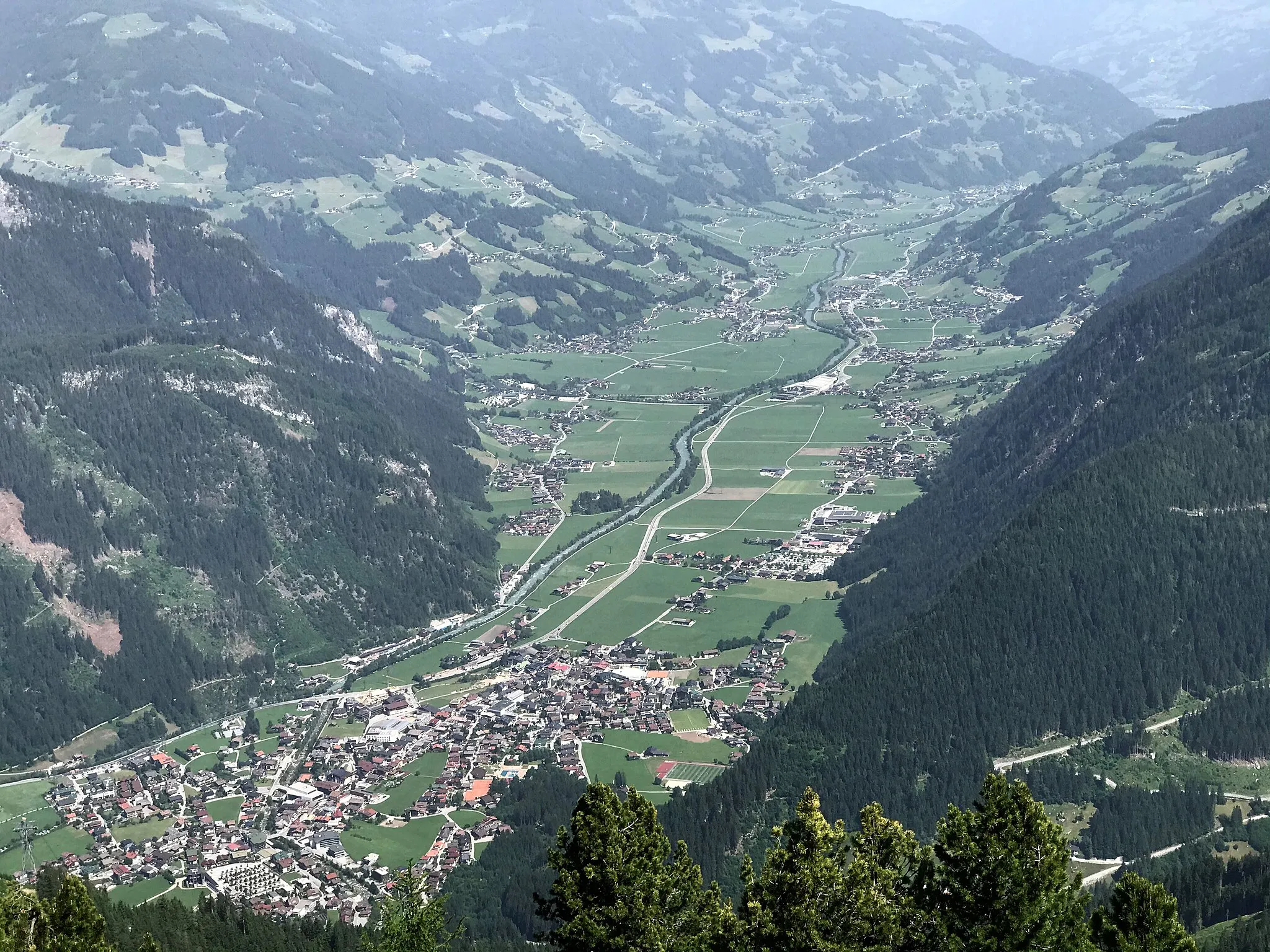
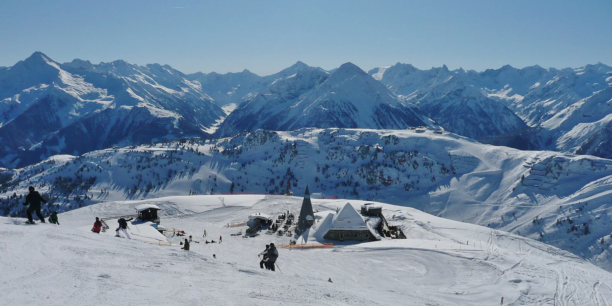
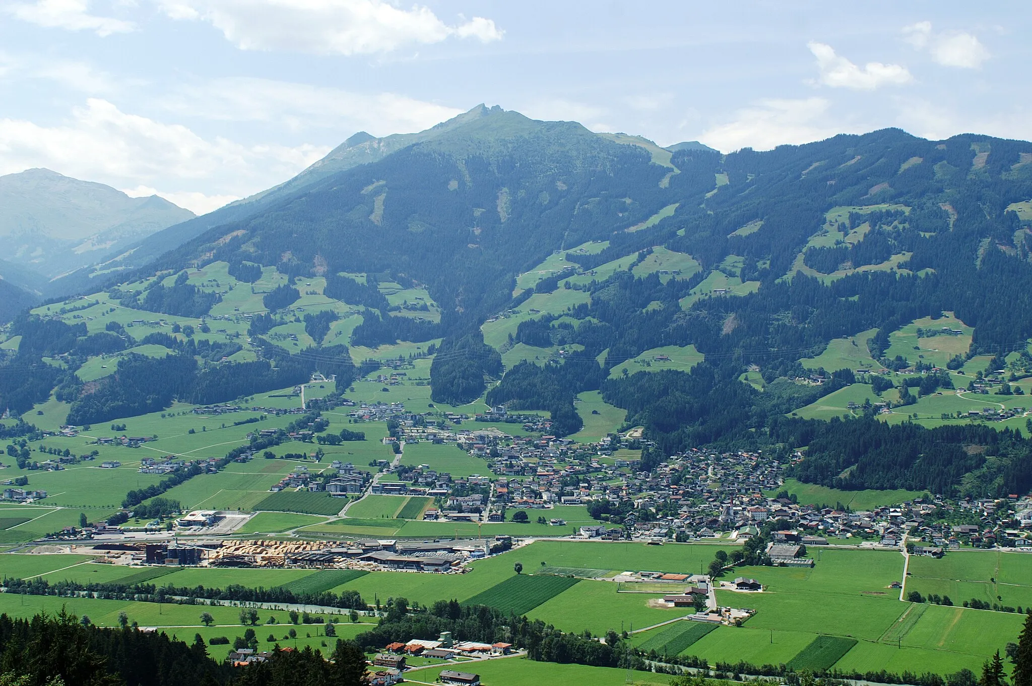
Scenic cycling mecca in the Tirol region of Austria.
Cycling routes from Mayrhofen
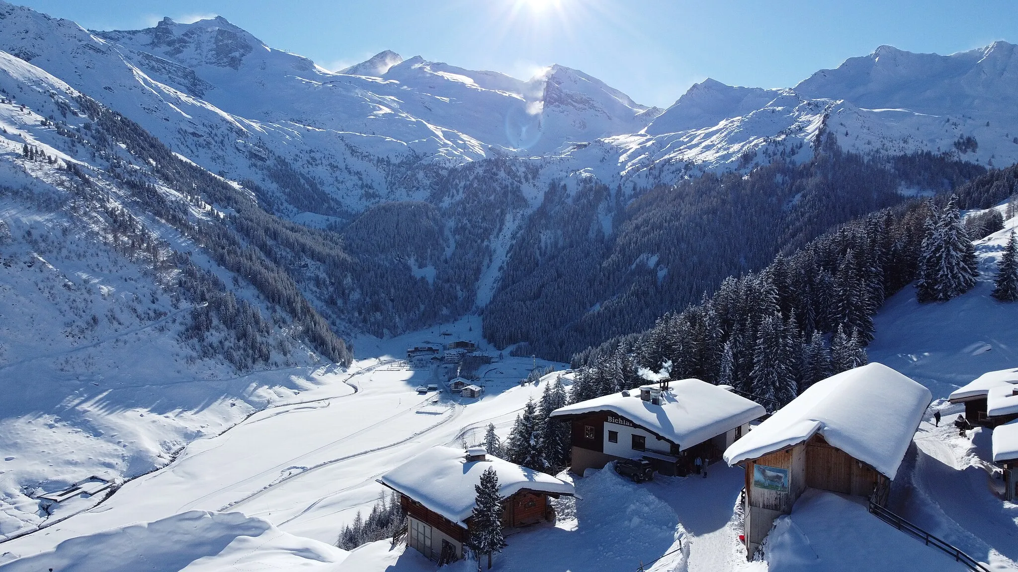
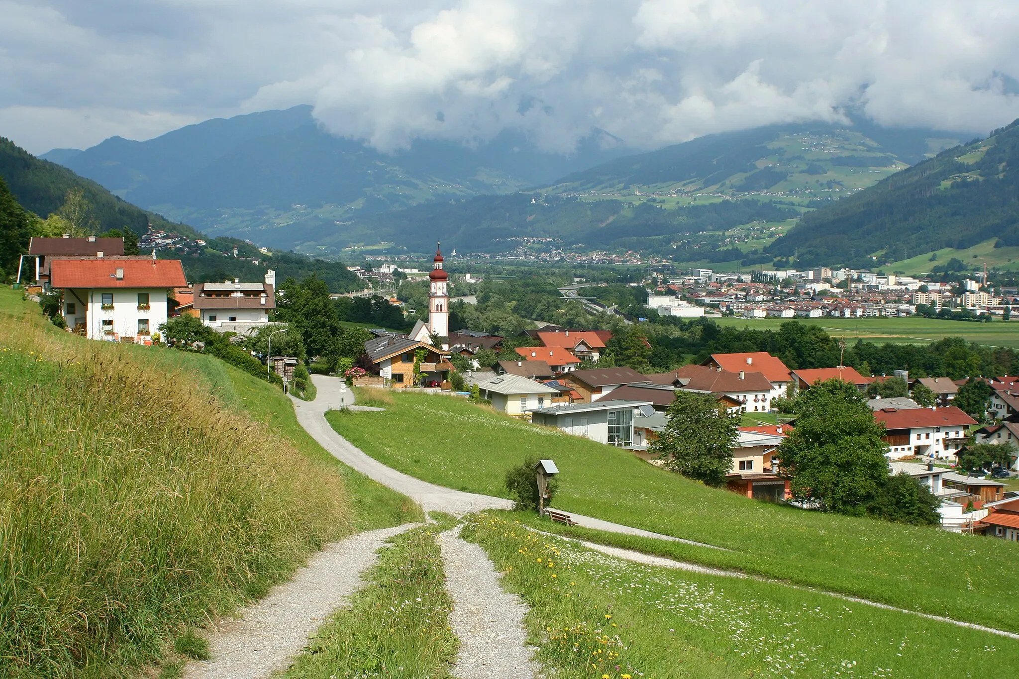
Mayrhofen, situated in Tirol, Austria, is a popular locality for road and gravel cycling. The region offers a wide range of cycling routes suitable for all skill levels, from challenging mountain climbs to gentle trails through picturesque valleys. Mayrhofen is famous for its well-known cycling spot, the Zillertal High Alpine Road, which provides breathtaking views of the surrounding mountains. With its cyclist-friendly facilities and stunning natural beauty, Mayrhofen is a top choice for cycling enthusiasts and tourists.
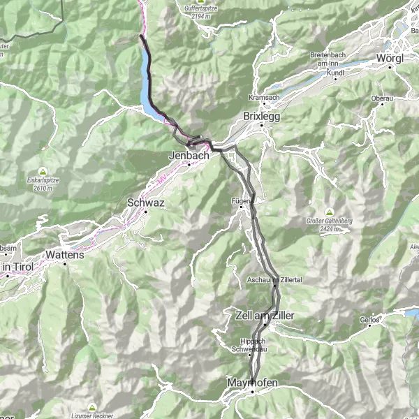
Experience the beauty of Ramsau im Zillertal on this road cycling route
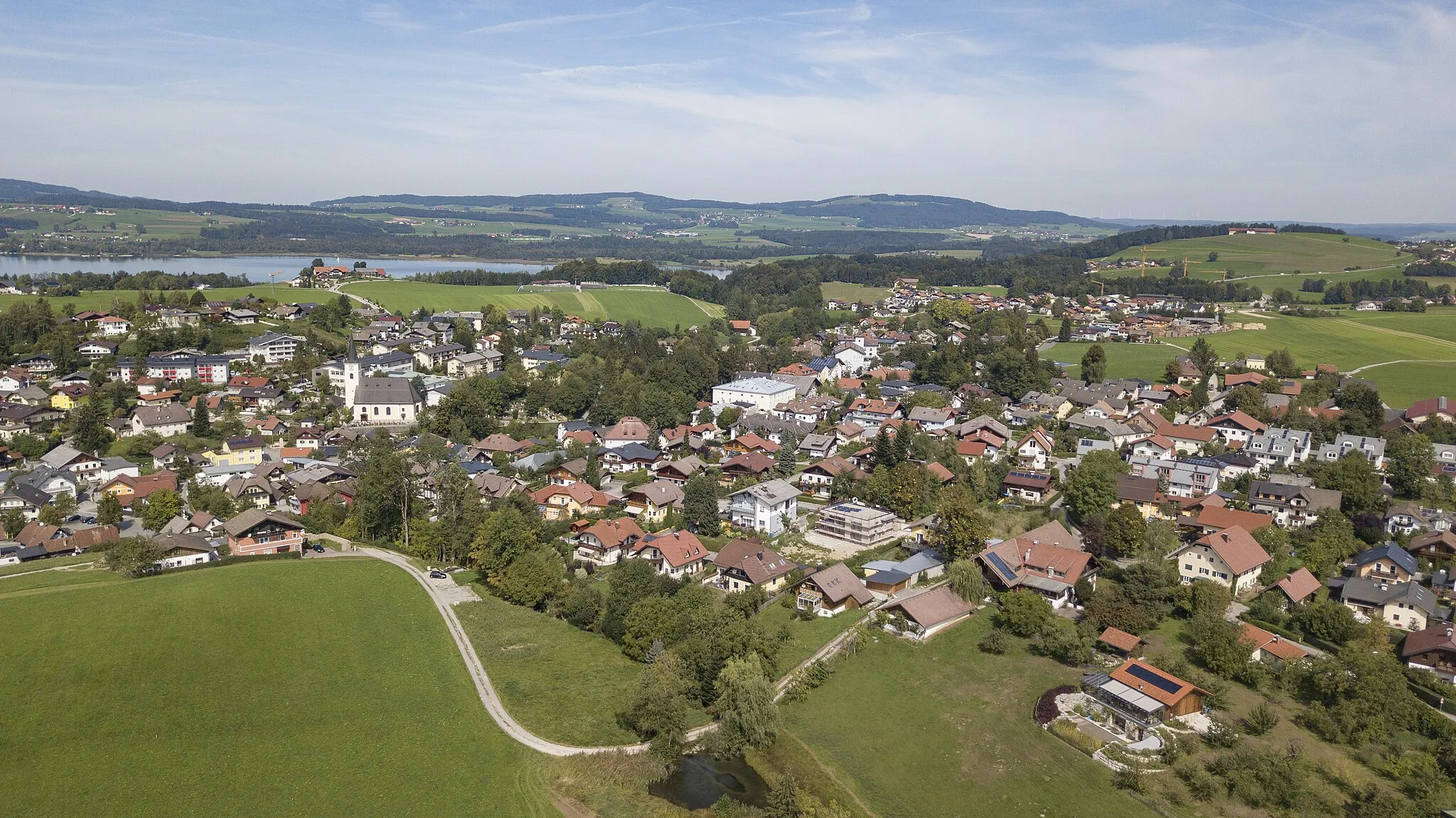
The road cycling route starting from Mayrhofen takes you to Ramsau im Zillertal, a charming village known for its traditional architecture and natural beauty. With a distance of 104 km and an ascent of 1461m, this route offers a moderate challenge for cyclists. Along the way, you'll pass by Schlitterer Wasserfall, a picturesque waterfall that adds to the scenic beauty of the route.
Mayrhofen Gravel Cycling Route
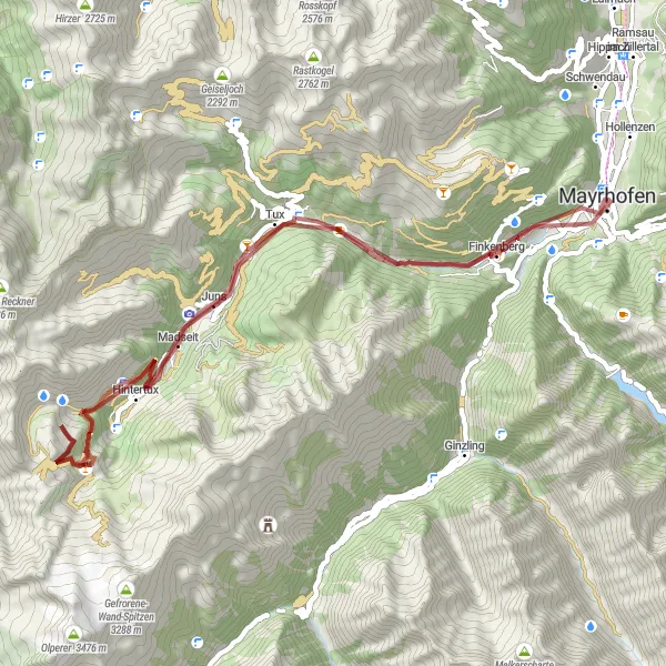
Explore the gravel paths near Mayrhofen on this adventurous cycling route
For gravel enthusiasts, this cycling route starting from Mayrhofen takes you on an off-road adventure through the beautiful scenery of Tirol. With a distance of 55 km and an ascent of 2223m, this route offers a moderate level of difficulty. The highlights of the route include Hintertux, a village located at the foot of the Hintertux Glacier, and Tuxer Joch, a high mountain pass with amazing views of the surrounding peaks.
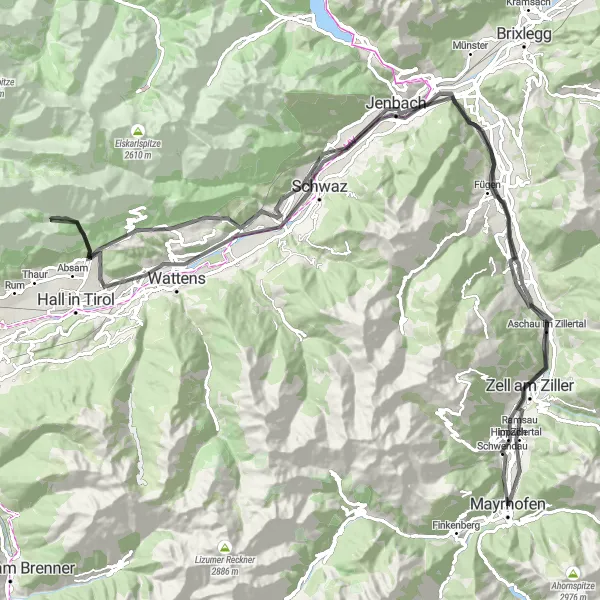
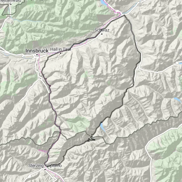
Scenic road cycling through the Zillertal valley
The Zillertal High Road is a spectacular road cycling route that takes you through the stunning Zillertal valley in Tirol, Austria. With a total distance of 128 kilometers and an elevation gain of 1612 meters, this route offers a challenging yet rewarding experience for experienced cyclists. The route passes through picturesque villages and offers breathtaking panoramic views of the surrounding mountains. The Zillertal High Road is a must-ride for cycling enthusiasts seeking a scenic and challenging adventure in the heart of the Austrian Alps.
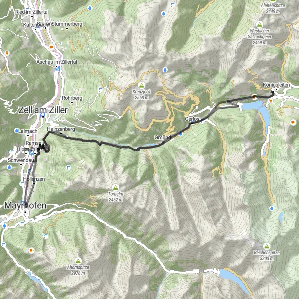
A picturesque road cycling route starting from Mayrhofen and crossing Gerlospass
This road cycling route starts in Mayrhofen and takes you on a scenic journey through the stunning landscapes of Tirol. The highlight of the route is crossing Gerlospass, offering breathtaking views of the surrounding mountains. With a total distance of 62 km and an ascent of 1639m, this route provides a good challenge for all cyclists. The road conditions are suitable for all types of road bikes, and the route offers various highlights along the way.
Discover the beauty of Finkenberg and Pfitscher Joch on this challenging road cycling route
This road cycling route starting near Mayrhofen offers an adventurous journey through the stunning landscapes of Finkenberg and Pfitscher Joch. With a distance of 176 km and an ascent of 3576m, this route is suitable for experienced and well-trained cyclists. The highlights of the route include Spiegelkopf, a vantage point offering panoramic views of the surrounding mountains, and Pfitscher Joch - Passo di Vizze, a mountain pass connecting Austria and Italy.
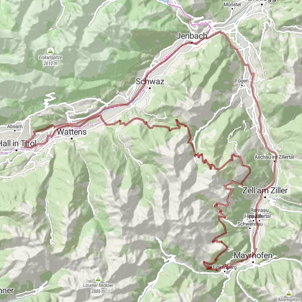
Embark on a legendary tour through the Zillertal Valley
The Ultimate Zillertal Adventure is a legendary cycling tour that takes you on an unforgettable journey through the stunning Zillertal Valley. With a total ascent of 3,858 meters over 139 kilometers, this challenging gravel route will push your limits and reward you with awe-inspiring vistas and incredible accomplishments. Prepare to conquer Penken, a famous mountain known for its thrilling downhill bike park and the adrenaline-pumping Penken Gap. You'll also experience the breathtaking beauty of Baumkirchen, an enchanting village surrounded by rolling green hills and charming architecture. With a difficulty and epicness rating of 5 out of 5, the Ultimate Zillertal Adventure is reserved for hardcore cyclists seeking an extraordinary and rewarding cycling experience.
An epic gravel cycling adventure in the Zillertal valley
Embark on an epic gravel cycling adventure in the breathtaking Zillertal valley of Tirol, Austria. This 54-kilometer route offers a challenging ascent of 2614 meters, ensuring an exhilarating experience for experienced gravel cyclists seeking a true test of skill and endurance. Along the way, you will encounter rugged terrain, stunning mountain landscapes, and remote villages that exude an old-world charm. The Zillertal Gravel Adventure is a bucket-list ride for those who crave a combination of challenging riding and unparalleled natural beauty.
Zillertal Challenge
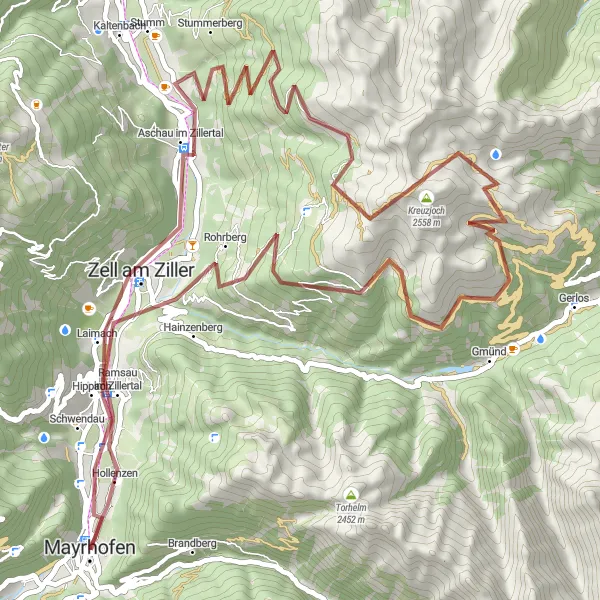
Experience the thrill of conquering challenging mountain passes
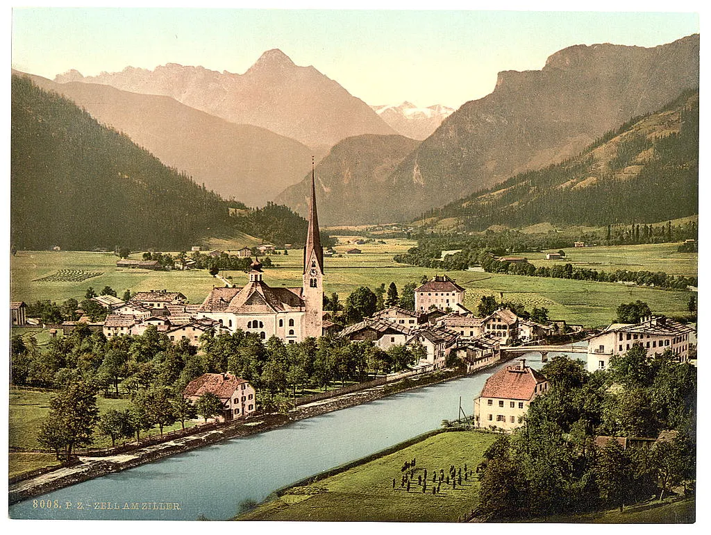
The Zillertal Challenge is an exhilarating cycling route that takes you through some of the most challenging mountain passes in the Zillertal Valley. With a total ascent of 2,772 meters over a distance of 68 kilometers, this gravel route is suited for seasoned cyclists seeking a real test of their strength and endurance. Along the way, you'll pass through stunning locations such as Zell am Ziller, Stummerberg, and Ramsau im Zillertal, each offering breathtaking landscapes and cultural points of interest. Rated 5 out of 5 on both difficulty and epicness, the Zillertal Challenge promises an extraordinary adventure for experienced riders.
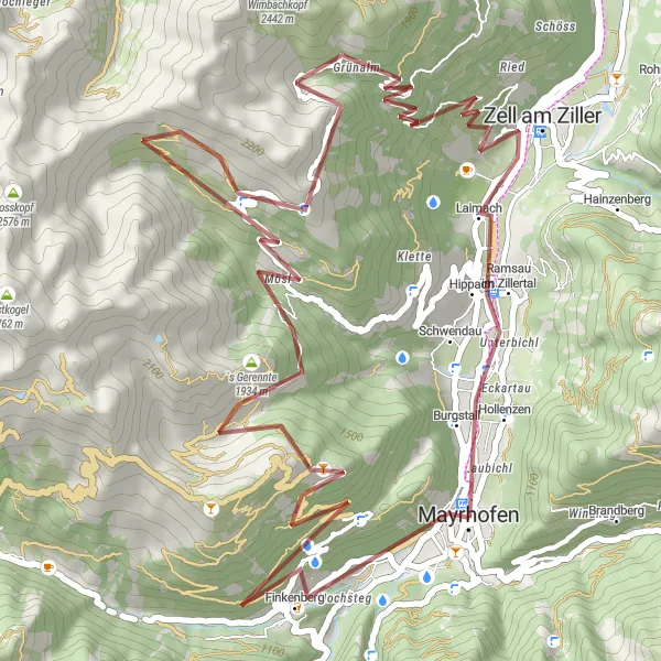
Mayrhofen Loop
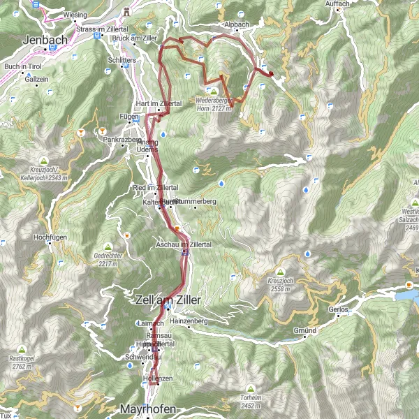
Ride through the stunning Zillertal Valley
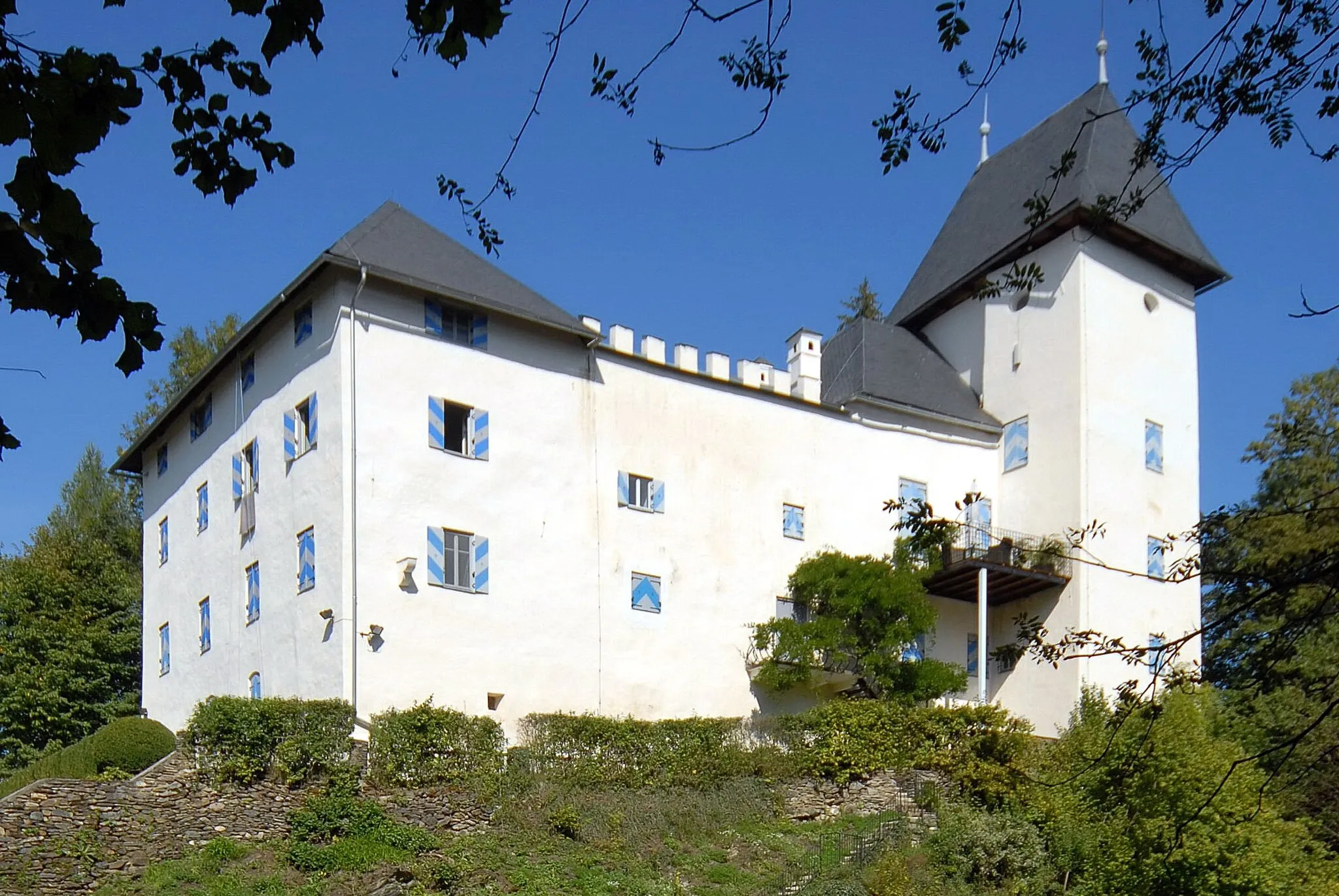
The Mayrhofen Loop is a scenic and challenging cycling route that takes you through the picturesque Zillertal Valley in Tirol, Austria. With its gravel terrain and a total ascent of 2,498 meters over a distance of 86 kilometers, this route is suitable for experienced cyclists looking for a thrilling adventure. Along the way, you'll encounter several highlights such as Zell am Ziller, Schloss Stumm, and Alpbach, each offering a unique experience and cultural attractions. The difficulty of this route is rated 4 out of 5, making it suitable for well-trained amateur riders. Prepare for an epic journey through the heart of the Austrian Alps.
Mayrhofen Discovery
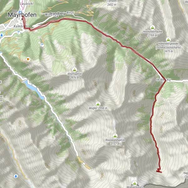
Uncover the hidden gems of Mayrhofen and its surroundings
The Mayrhofen Discovery route is a shorter but no less fascinating cycling adventure, showcasing the hidden gems of Mayrhofen and its surroundings. With a total ascent of 1,953 meters over 47 kilometers, this gravel route offers a challenging but rewarding experience for intermediate cyclists. Along the way, you'll discover Mayrhofen itself, known for its beautiful landscapes and vibrant atmosphere. You'll also pass by Ritzl, a quaint village with traditional Tyrolean architecture, and Hollenzkofel - Cima di Landro, a hill offering panoramic views of the surrounding mountains. Rated 3 out of 5 on both difficulty and epicness, the Mayrhofen Discovery is an ideal option for riders seeking a shorter, yet insightful cycling experience.
Cycling routes nearby:


Nearby regions: