Finkenberg and Pfitscher Joch Road Cycling Route
A road cycling route starting from Mayrhofen
Discover the beauty of Finkenberg and Pfitscher Joch on this challenging road cycling route
Map
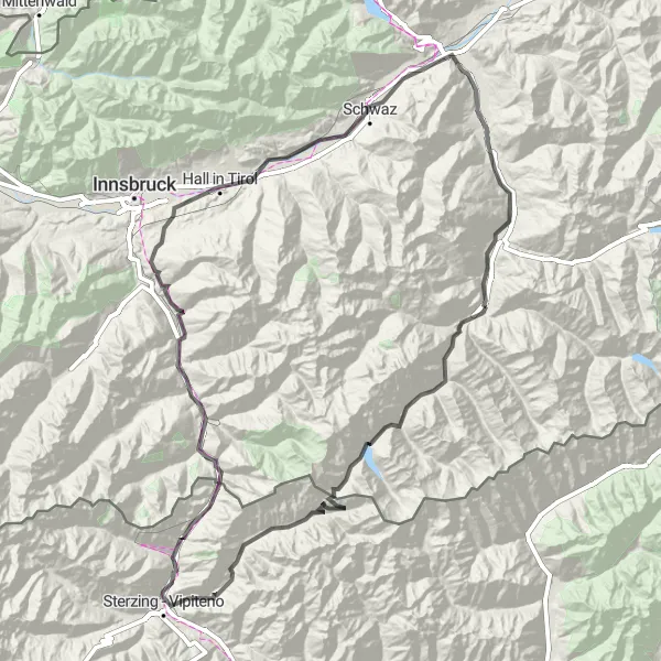
This road cycling route starting near Mayrhofen offers an adventurous journey through the stunning landscapes of Finkenberg and Pfitscher Joch. With a distance of 176 km and an ascent of 3576m, this route is suitable for experienced and well-trained cyclists. The highlights of the route include Spiegelkopf, a vantage point offering panoramic views of the surrounding mountains, and Pfitscher Joch - Passo di Vizze, a mountain pass connecting Austria and Italy.
road
176 km
3576 m
Savage
Route profile
Highlights on the route
0 km
0 km
Start: Mayrhofen City centerMayrhofen: Scenic cycling mecca in the Tirol region of Austria.
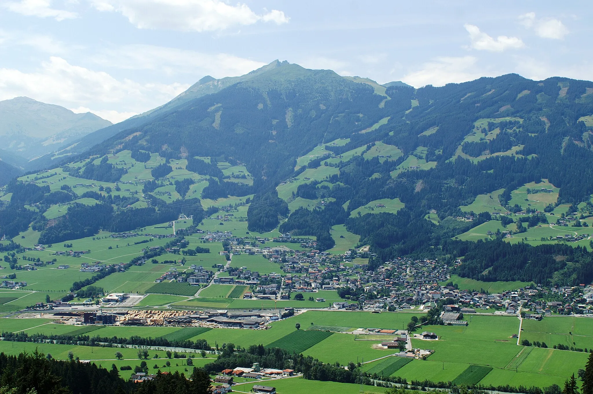
Mayrhofen, situated in Tirol, Austria, is a popular locality for road and gravel cycling. The region offers a wide range of cycling routes suitable for all skill levels, from challenging mountain climbs to gentle trails through picturesque valleys. Mayrhofen is famous for its well-known cycling spot, the Zillertal High Alpine Road, which provides breathtaking views of the surrounding mountains. With its cyclist-friendly facilities and stunning natural beauty, Mayrhofen is a top choice for cycling enthusiasts and tourists.3 km
3 km
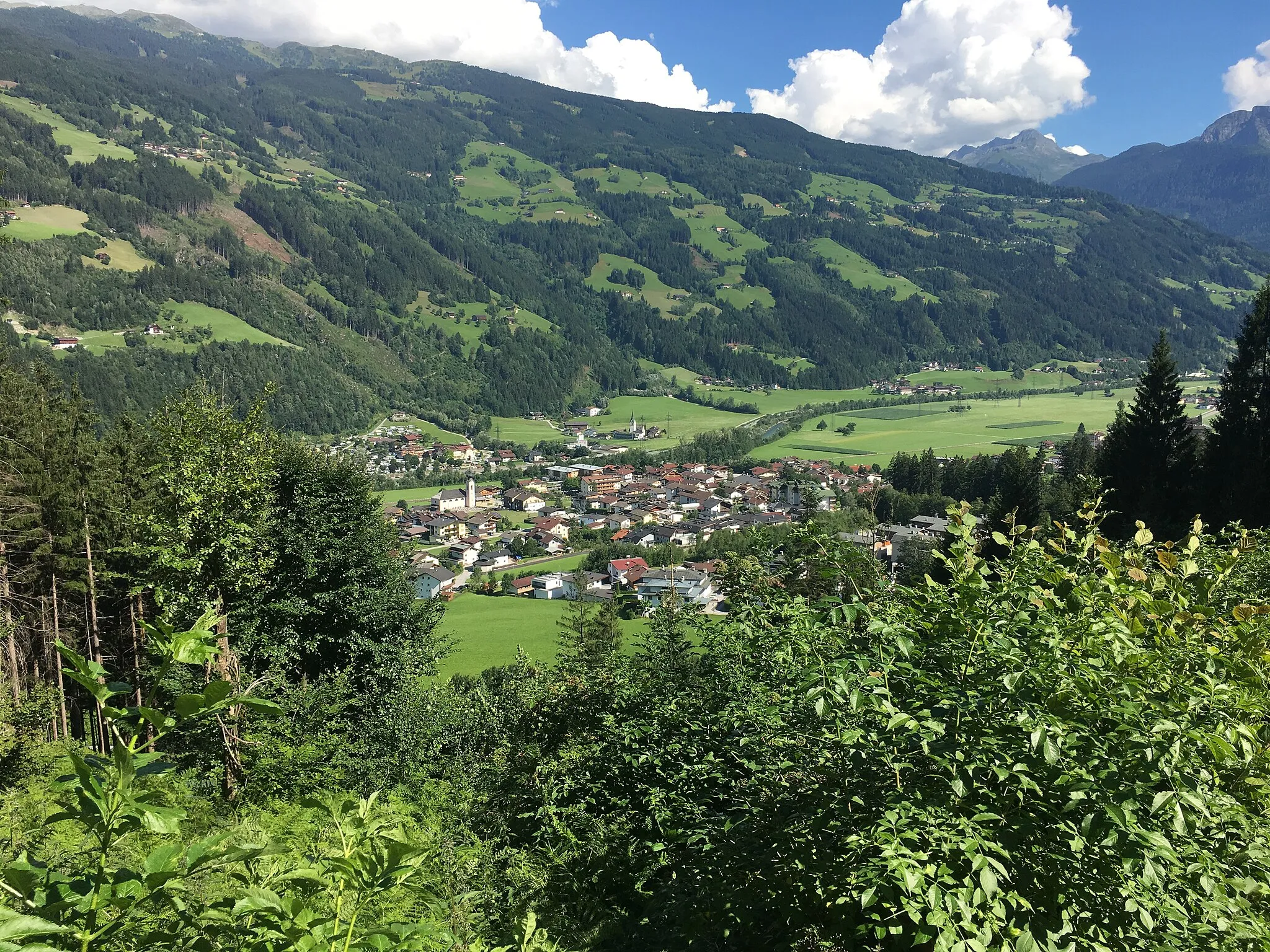
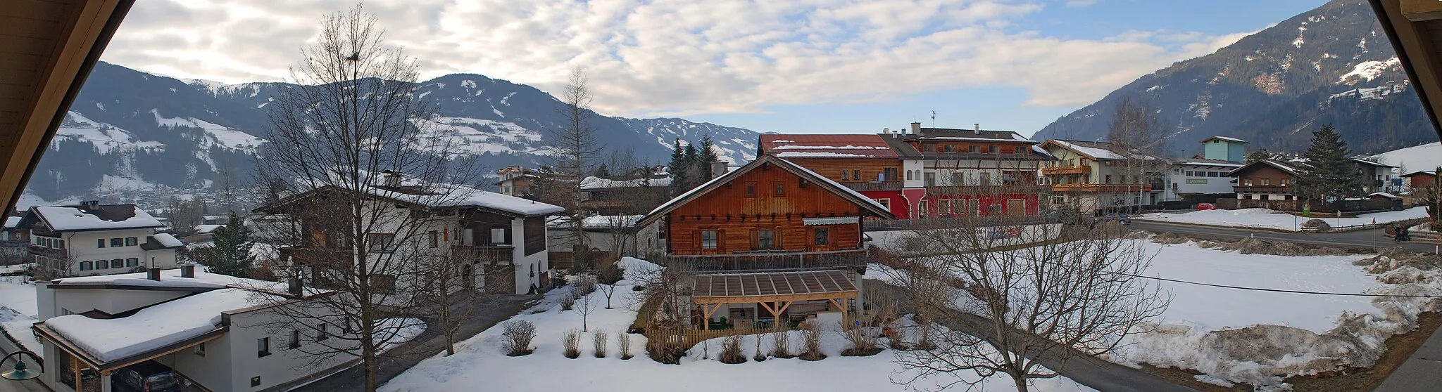
FinkenbergVillageFinkenberg is a picturesque village situated on a sunny plateau, surrounded by impressive peaks.
4 km
4 km
Glocke929 mPeak19 km
19 km
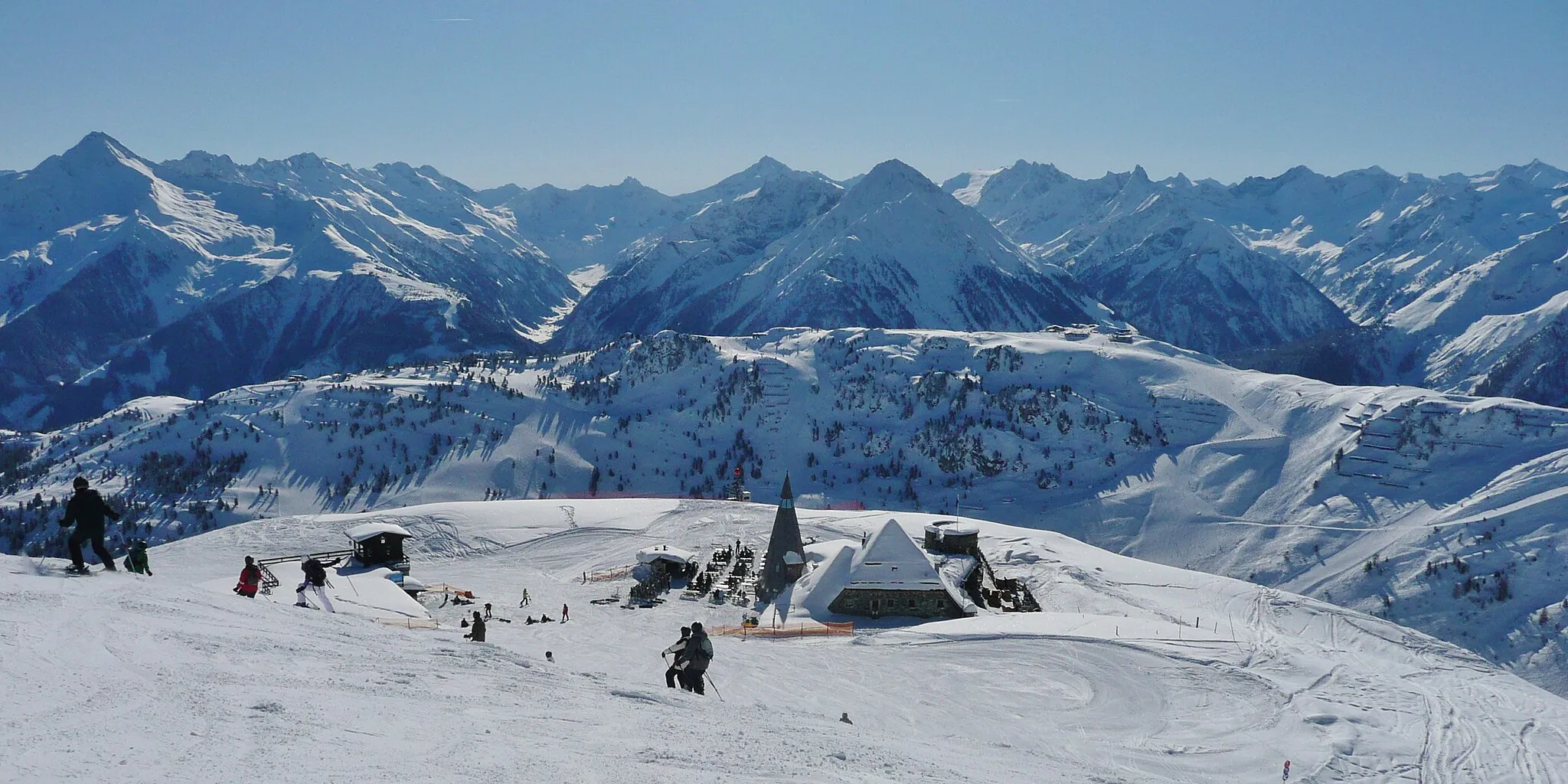
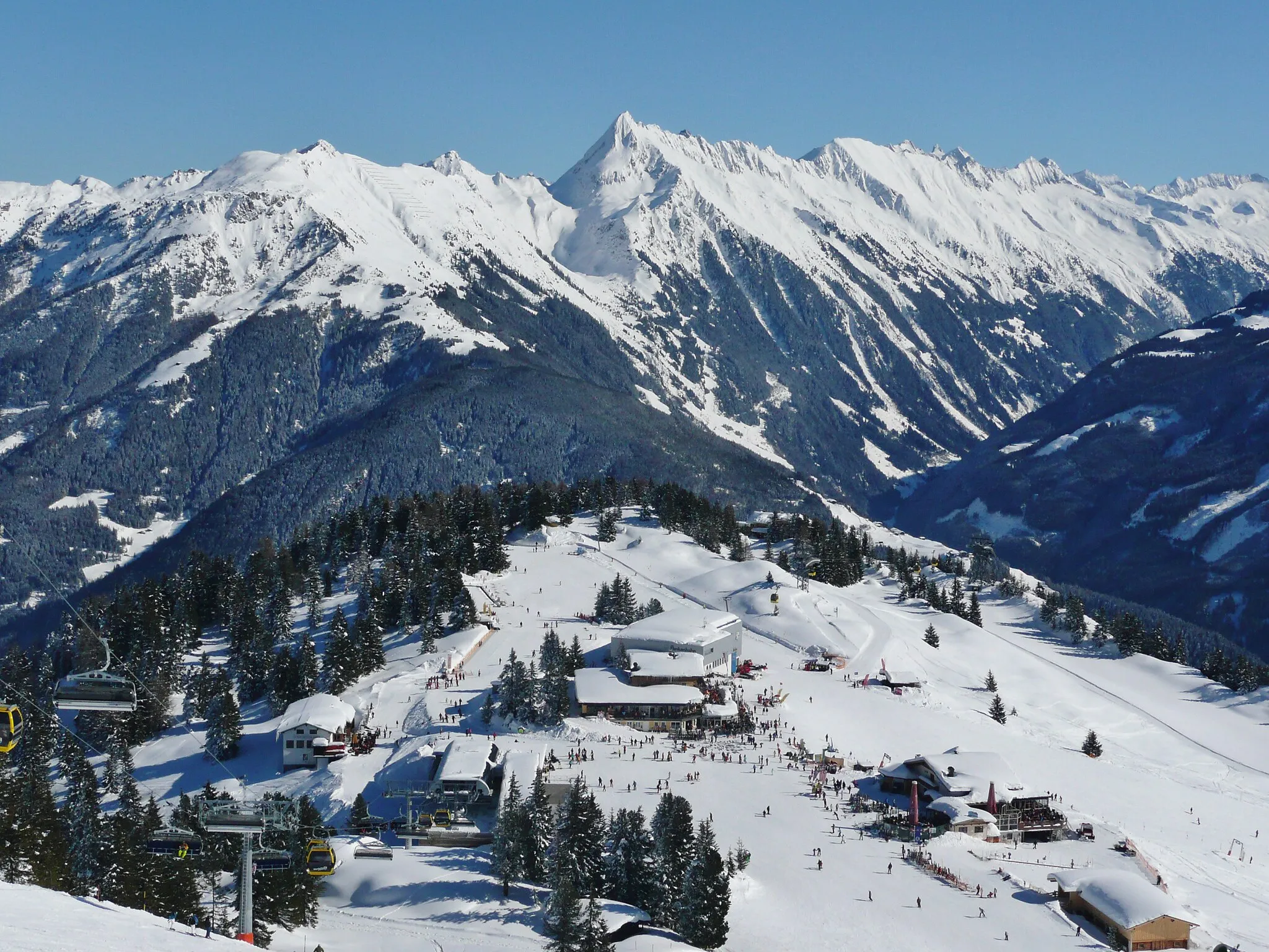
Spiegelkopf2102 mPeakSpiegelkopf is a vantage point along the route, offering breathtaking views of the Zillertal Alps and nearby glaciers.
30 km
30 km
Pfitscher Joch - Passo di Vizze2251 mMountain PassPfitscher Joch - Passo di Vizze is a mountain pass at an elevation of 2,237m, connecting Austria and Italy.
43 km
43 km
KnappenHamletKnappen is a small village along the route, known for its historic mining heritage and natural beauty.
67 km
67 km
Gossensaß - Colle IsarcoVillageGossensaß - Colle Isarco is a small village located near the Austrian-Italian border with beautiful alpine scenery.
67 km
67 km
IbsenplatzViewpoint76 km
76 km
Brenner Pass1370 mMountain PassBrenner Pass is a famous mountain pass connecting Austria and Italy, often featured in professional cycling races.
81 km
81 km
Gries am BrennerVillageGries am Brenner is a charming village located at the foot of the Brenner Pass and offers stunning alpine views.
98 km
98 km
InnerellbögenVillage117 km
117 km
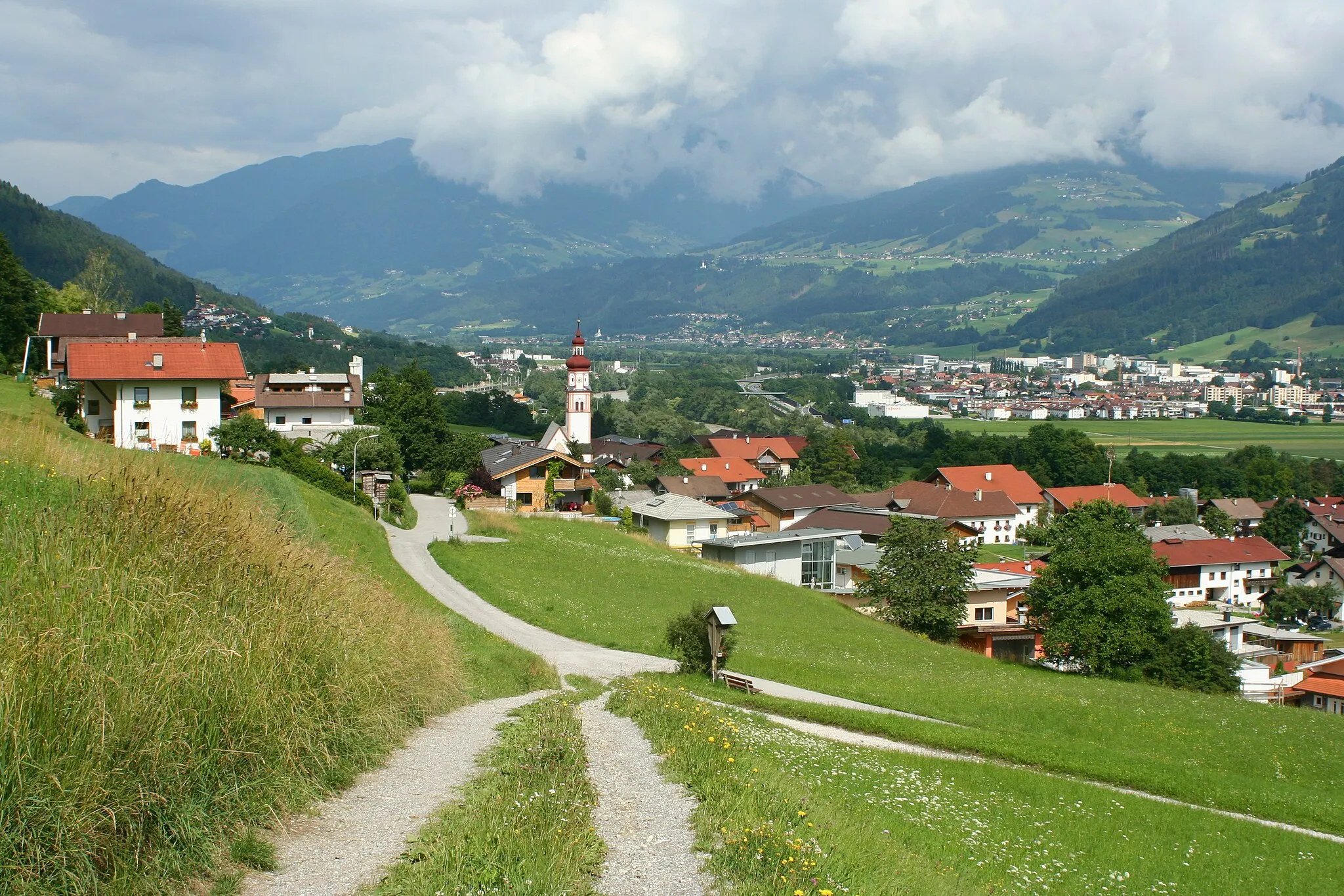
Hall in TirolTownHall in Tyrol is a historic town with medieval architecture and a charming old town area.
125 km
125 km
Observation TowerViewpointThe Observation Tower offers panoramic views of the surrounding mountains and valleys.
135 km
135 km
SchwazTownSchwaz is a historic town known for its silver mining heritage and beautiful Baroque architecture.
136 km
136 km
Die "Schöne Aussicht"ViewpointDie 'Schöne Aussicht' is a picturesque spot offering panoramic views of the Zillertal Valley.
146 km
146 km
BrettfallkopfViewpointBrettfallkopf is a mountain peak along the route, offering stunning views and a sense of achievement for climbers.
149 km
149 km
Schlitterer WaserfallWaterfallSchlitterer Wasserfall is a picturesque waterfall located near the village of Ramsau im Zillertal, offering a refreshing stop along the route.
167 km
167 km
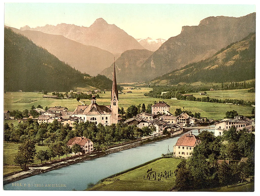
Zell am ZillerTownZell am Ziller is a charming village known for its traditional architecture and outdoor recreational activities.
175 km
175 km
Climbing wall „Himmelsleiter“Attraction176 km
176 km
Finish: Mayrhofen City centerMayrhofen: Scenic cycling mecca in the Tirol region of Austria.
Cycling routes from Mayrhofen:
Cycling routes nearby: