Bludenz to Nüziders and Back
A road cycling route starting from Bludenz
Cycle through the picturesque towns of Nüziders, Rankweil, and Ganta.
Map
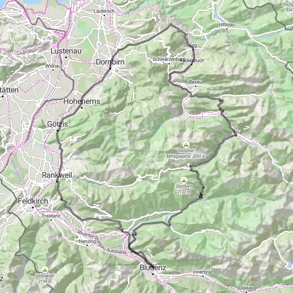
This round-trip cycling route takes you through some of the most beautiful towns in Vorarlberg. Along the way, you'll have the opportunity to enjoy stunning views, historic landmarks, and charming cafes. The route is suitable for well-trained amateurs and offers a challenging ascent of 2,933 meters over a distance of 126 kilometers.
road
126 km
2933 m
Tough
Route profile
Highlights on the route
0 km
0 km
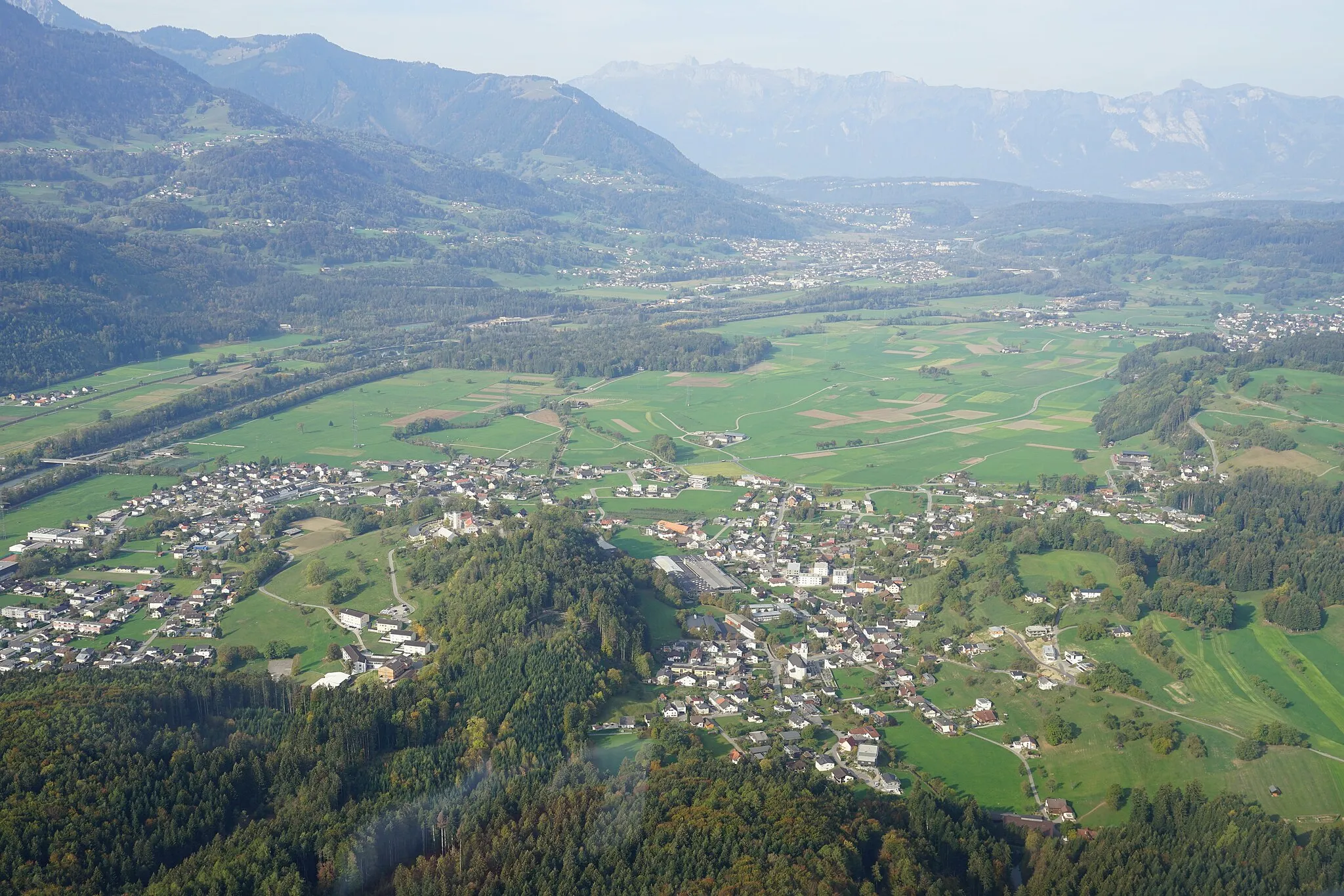
Start: Bludenz City centerBludenz: Cycling Paradise amidst Vorarlberg Mountains
Bludenz, situated in Vorarlberg, Austria, is a paradise for cyclists seeking mountainous terrain and breathtaking alpine views. The locality offers a wide range of cycling routes that cater to all skill levels, from gentle valley rides to epic mountain climbs. Cyclists can tackle renowned passes including Arlbergpass and Silvretta Hochalpenstrasse, immersing themselves in the region's natural beauty. Bludenz is a must-visit for cyclists seeking a thrilling alpine adventure.3 km
3 km
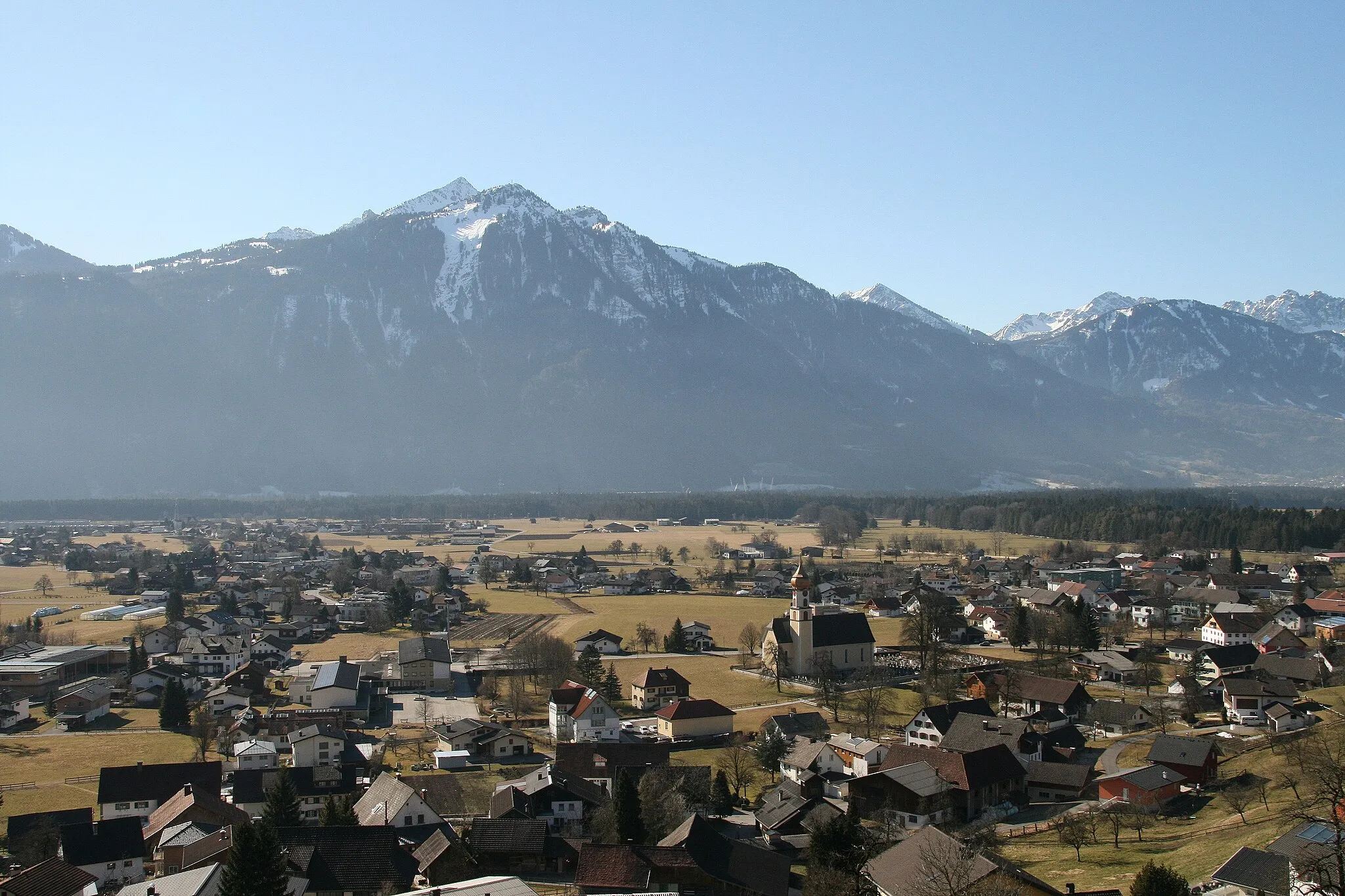
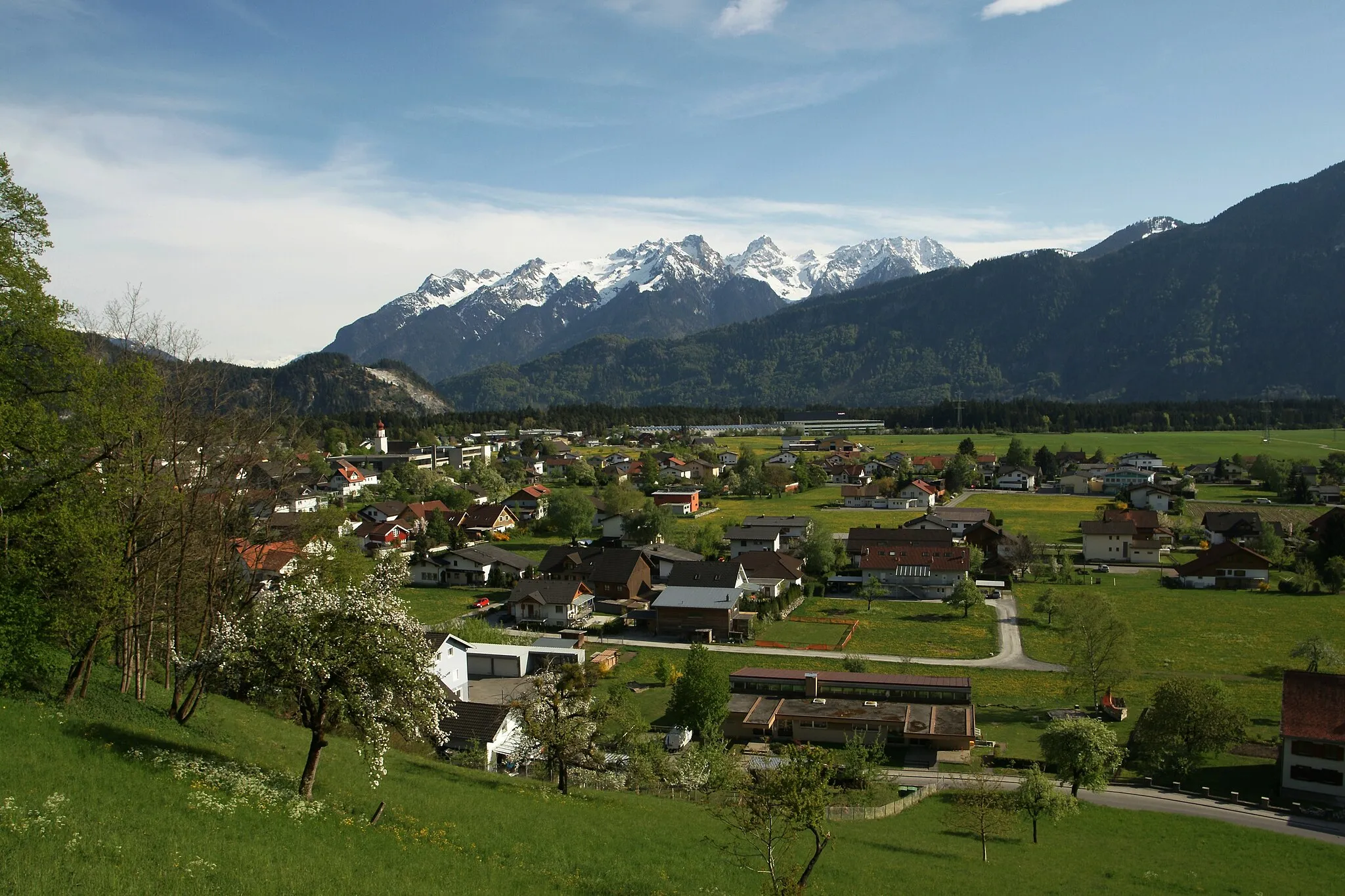
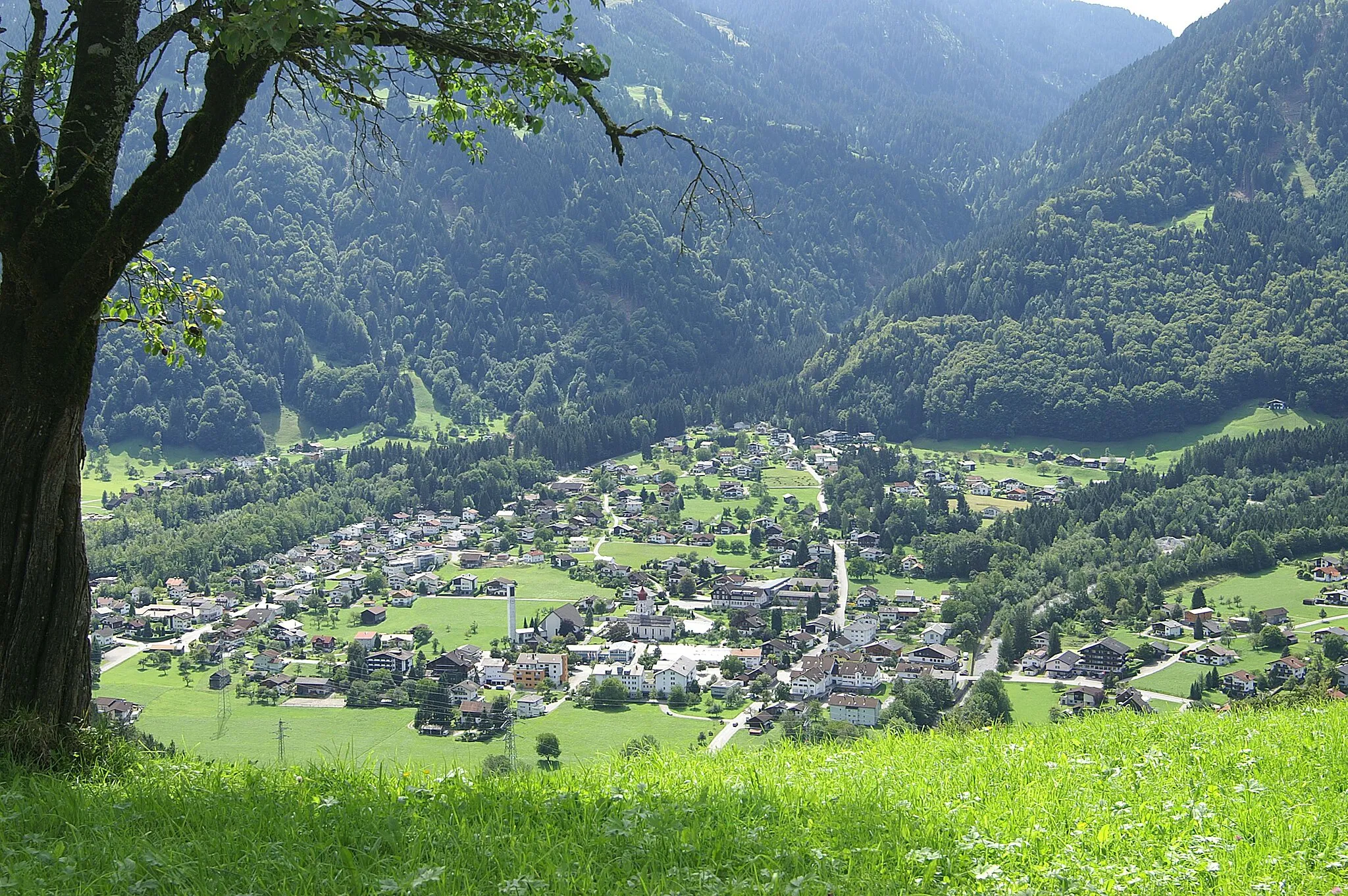
NüzidersVillageStop in Nüziders and explore the charming town with its traditional architecture and cozy cafes.
3 km
3 km
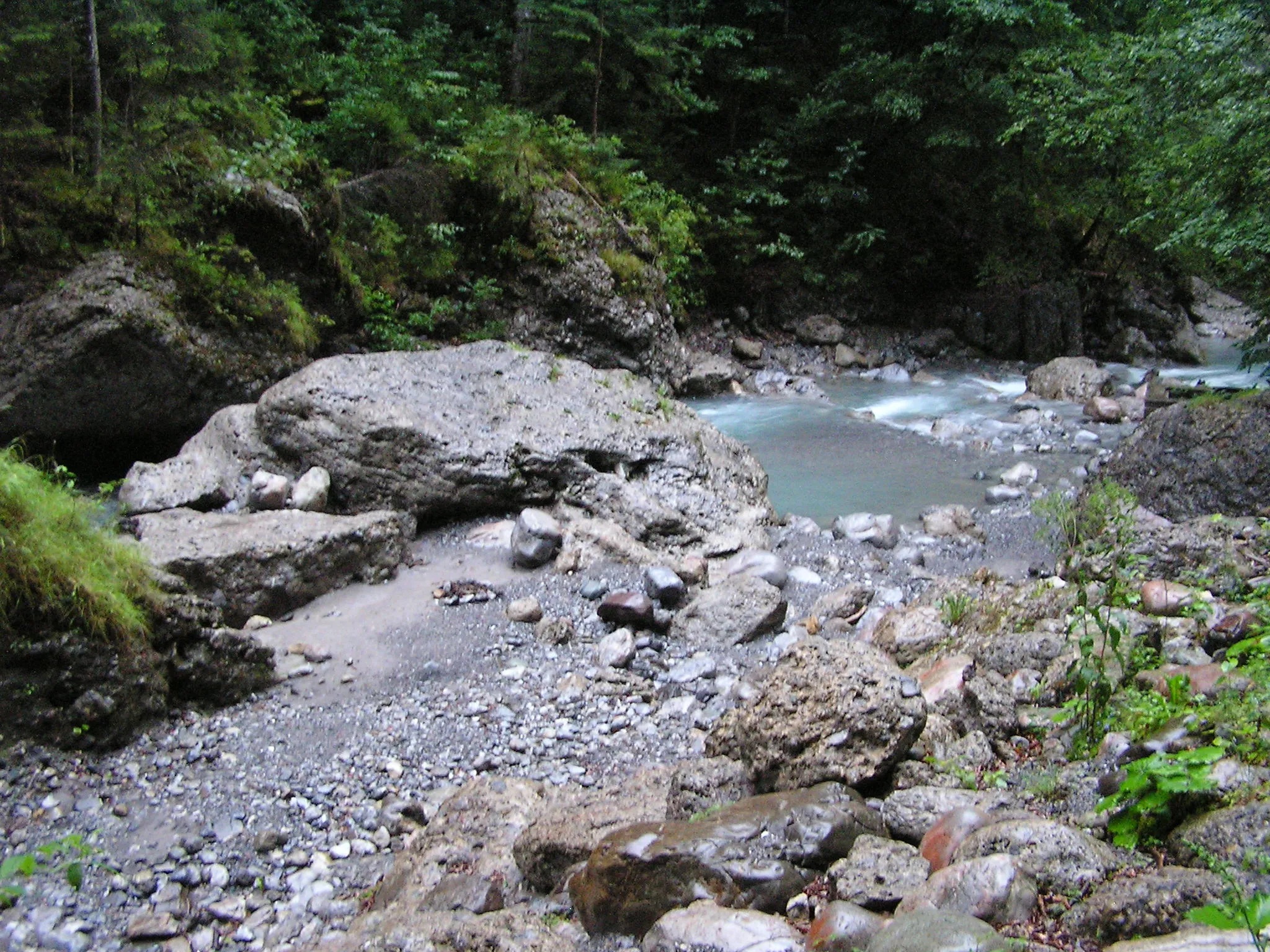
Aussichtspunkt mit 3 BänkenViewpointTake a break at the Aussichtspunkt with three benches and enjoy panoramic views of the surrounding mountains.
25 km
25 km
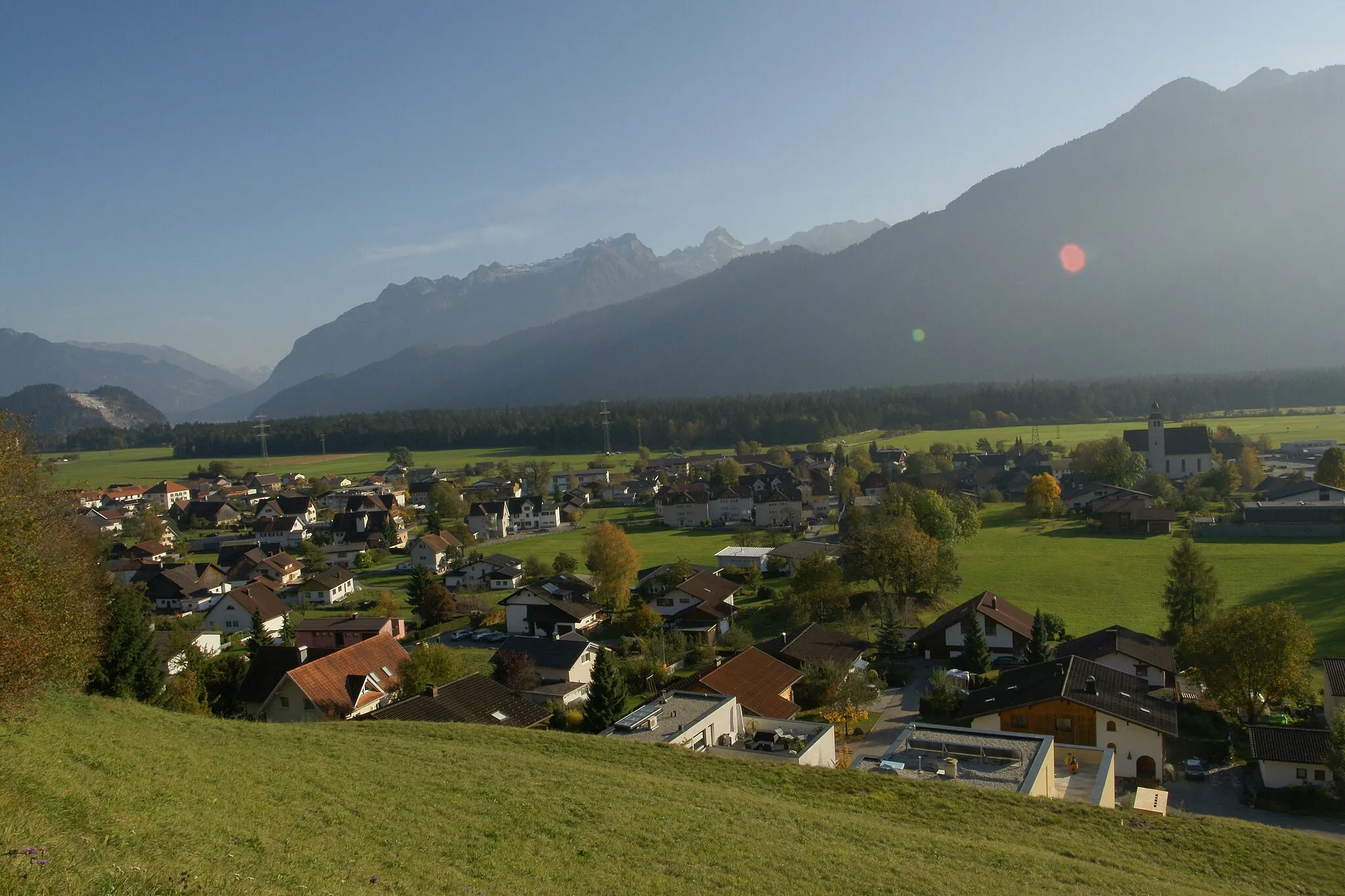
RankweilTownVisit Rankweil and discover its historic buildings, including the famous Basilica of Rankweil.
27 km
27 km
GantaViewpointPass through the picturesque town of Ganta, known for its scenic landscapes and traditional Alpine charm.
35 km
35 km
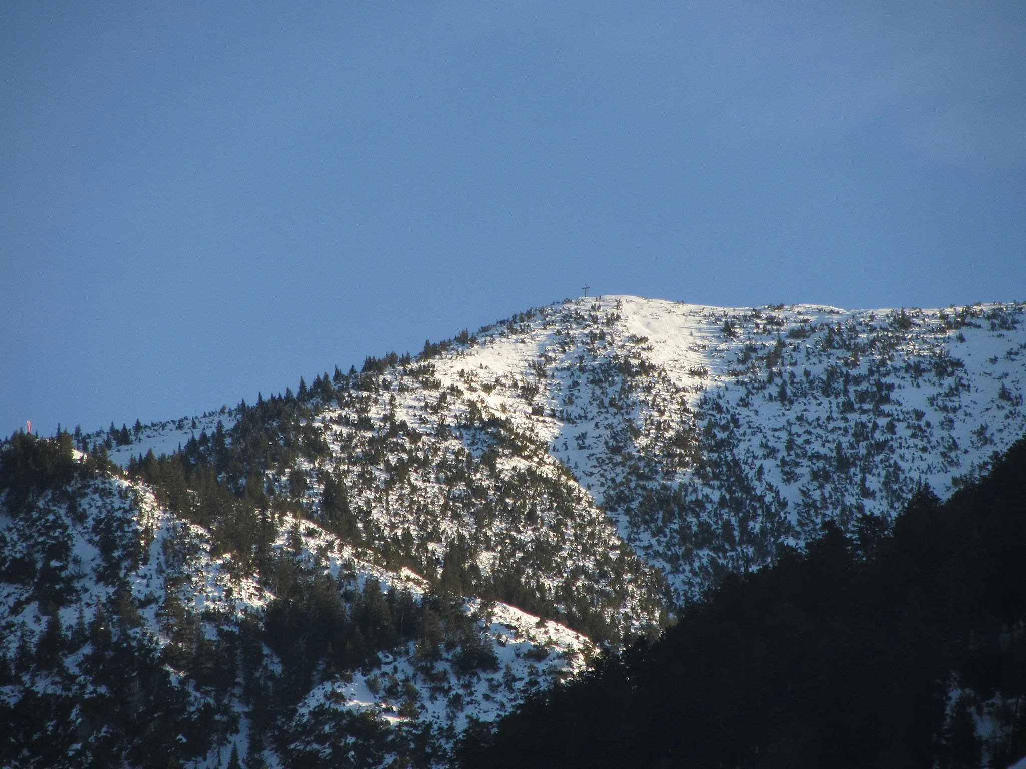
SoeleViewpointAdmire the breathtaking views from Soele, a lookout point that offers panoramic vistas of the surrounding area.
45 km
45 km
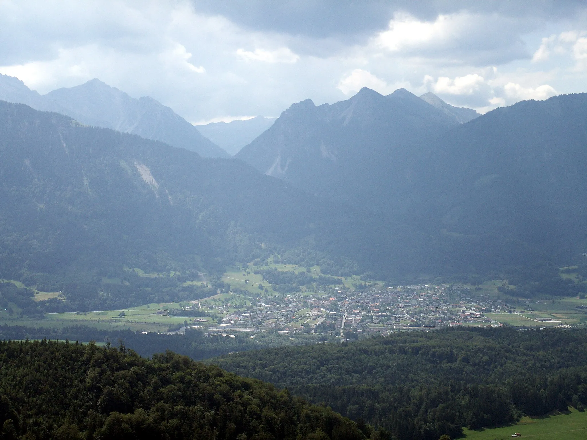
DornbirnTownExplore Dornbirn, a lively city with a vibrant cultural scene and interesting museums and galleries.
62 km
62 km
JosefshöheViewpointReach the Josefshöhe, a high point on the route offering beautiful views of the surrounding mountain ranges.
64 km
64 km
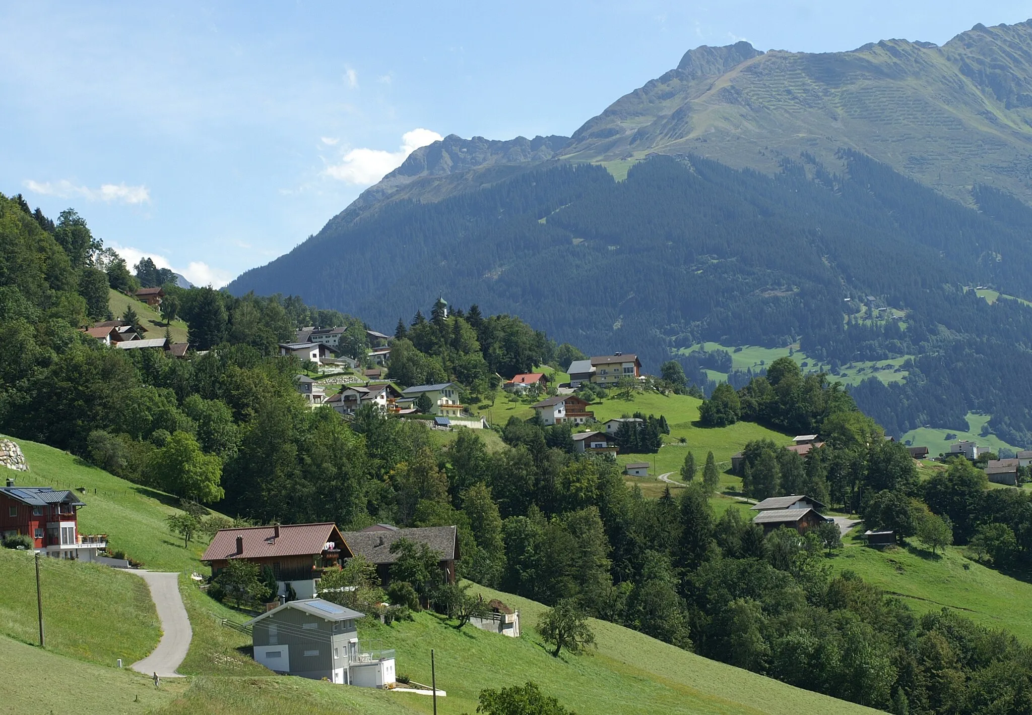
AndelsbuchVillagePass through Andelsbuch, known for its traditional wooden houses and charming village atmosphere.
76 km
76 km
BizauVillageCycle through Bizau and admire the picturesque landscapes and peaceful ambiance of the village.
80 km
80 km
Schnepfegg891 mMountain PassEnjoy the scenic beauty of Schnepfegg, a tranquil spot surrounded by lush green meadows and rolling hills.
98 km
98 km
Faschinajoch1486 mMountain Pass102 km
102 km
FontanellaVillage113 km
113 km
RaggalVillage126 km
126 km
Finish: Bludenz City centerBludenz: Cycling Paradise amidst Vorarlberg Mountains
Cycling routes nearby: