The Alpine Challenge
A road cycling route starting from Buers
An epic ride through the alpine landscapes of Vorarlberg
Map
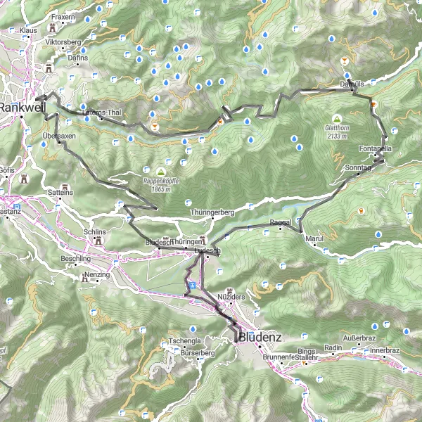
This challenging route takes you through the stunning alpine landscapes of Vorarlberg. The total distance covered is 88km with an ascent of 2876m, making it a challenging ride even for experienced cyclists. Along the way, you'll encounter picturesque villages, breathtaking mountain views, and scenic mountain passes. The route is suitable for road bikes and offers a mix of difficult climbs and thrilling descents. Overall, this ride offers an epic cycling adventure in the heart of Vorarlberg.
road
88 km
2876 m
Savage
Route profile
Highlights on the route
0 km
0 km
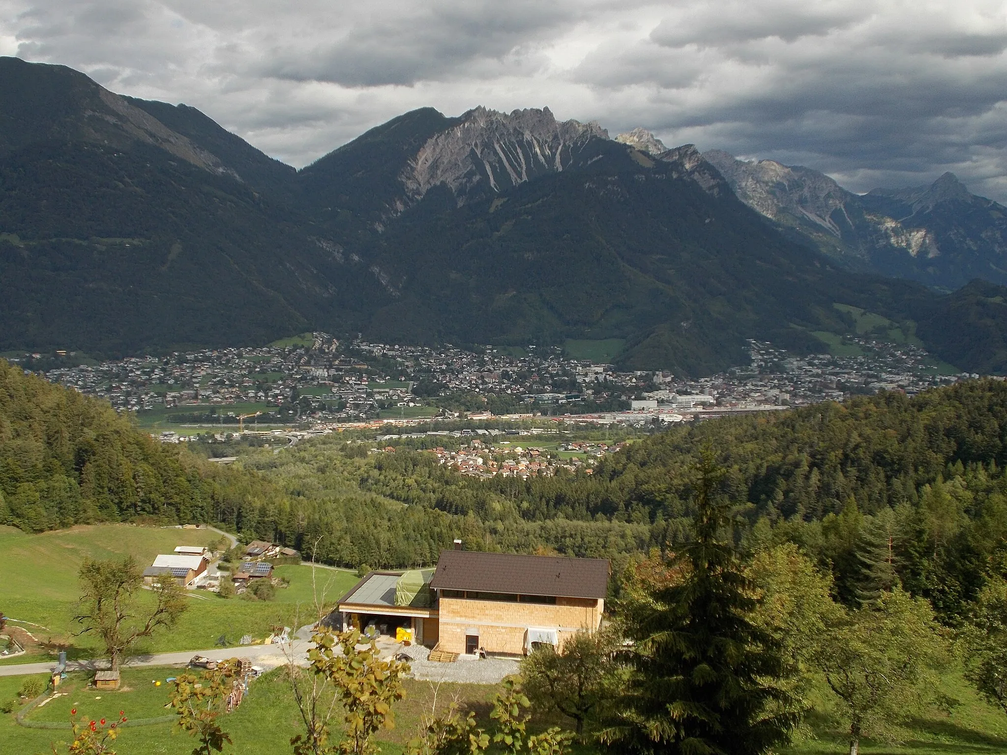
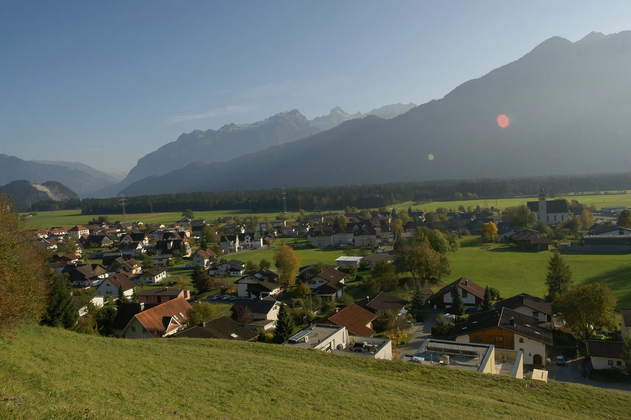
Start: Bürs Village centerBürs: Alpine Cycling Paradise in Vorarlberg
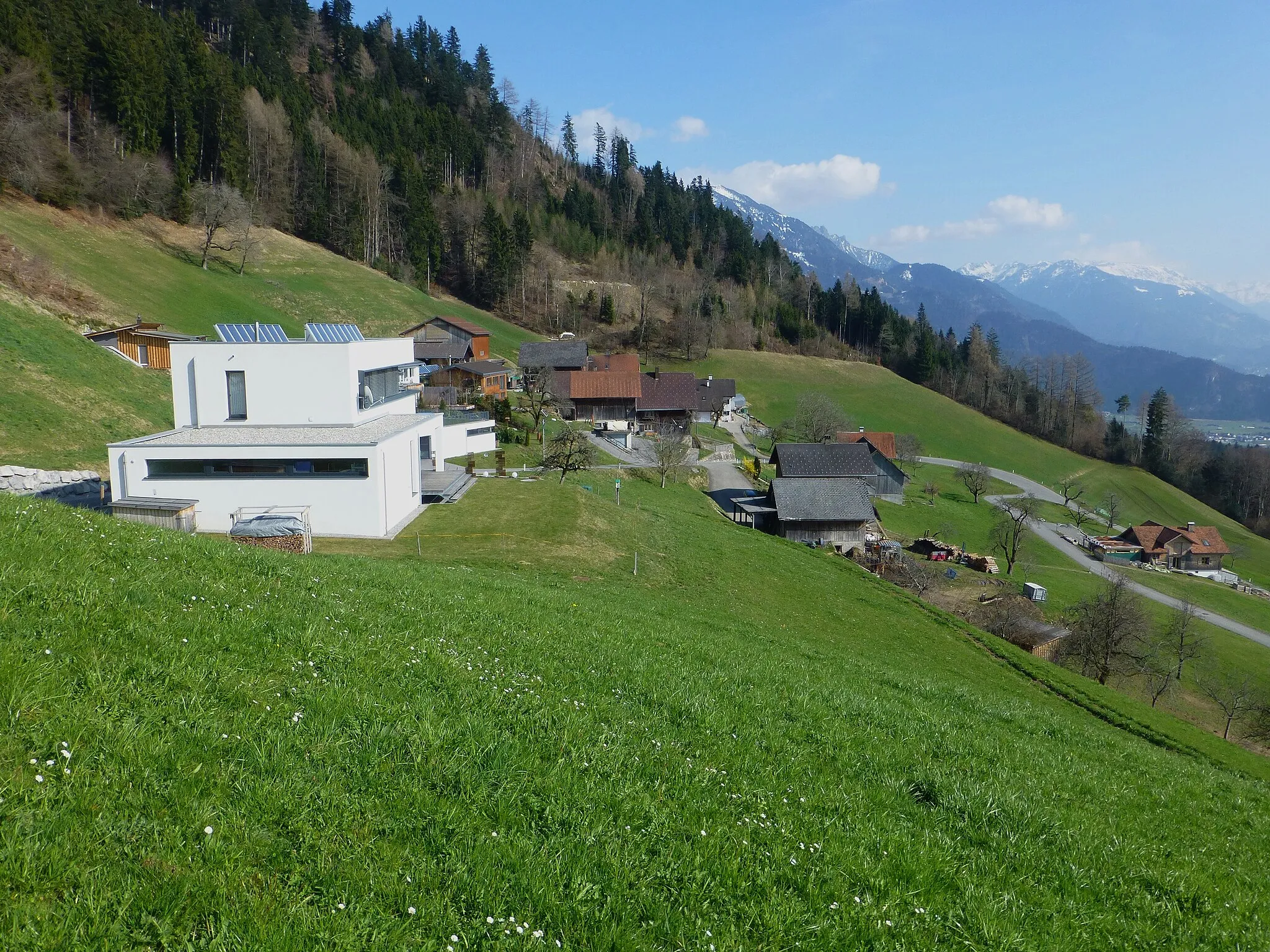
Bürs is a scenic locality situated in the Vorarlberg region of Austria. With its stunning mountain views and well-maintained roads, Bürs offers a fantastic cycling experience for both road and gravel enthusiasts. Cyclists can explore the surrounding countryside and enjoy the serenity of the nearby alpine lakes. A well-known climb in the area is Silbertal, which offers a challenging ascent with rewarding views at the top. Bürs is a dream destination for cyclists who appreciate breathtaking scenery, challenging terrain, and a welcoming atmosphere.4 km
4 km
KänzeleViewpointKänzele is a popular viewpoint offering panoramic views.
17 km
17 km
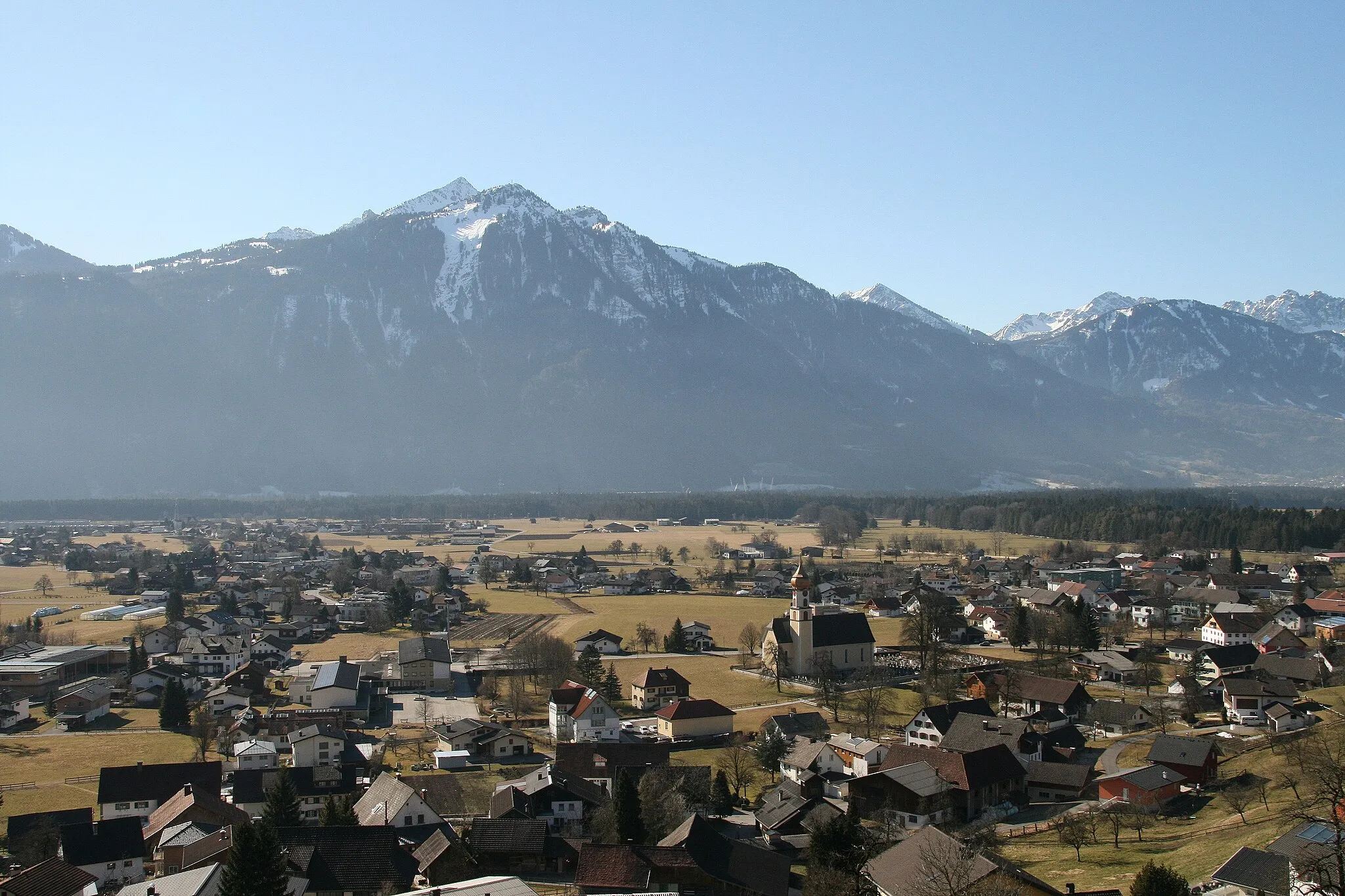
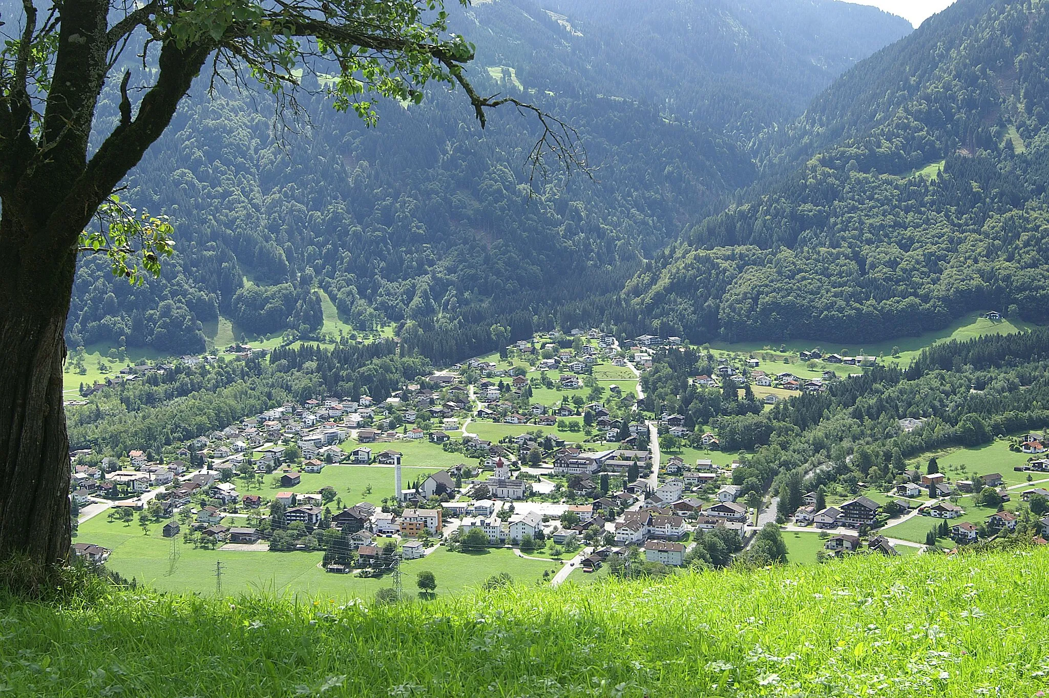
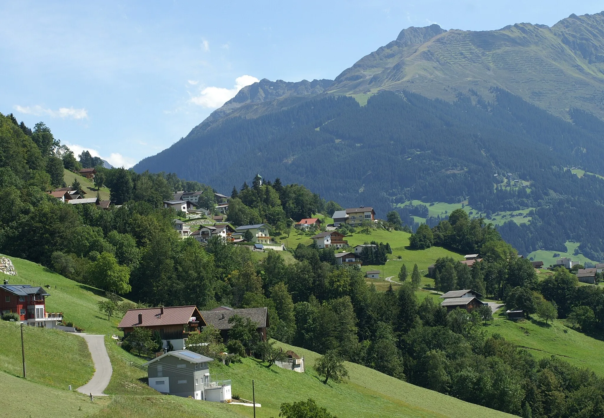
DünserbergVillageDünserberg is a small village nestled in the mountains.
30 km
30 km
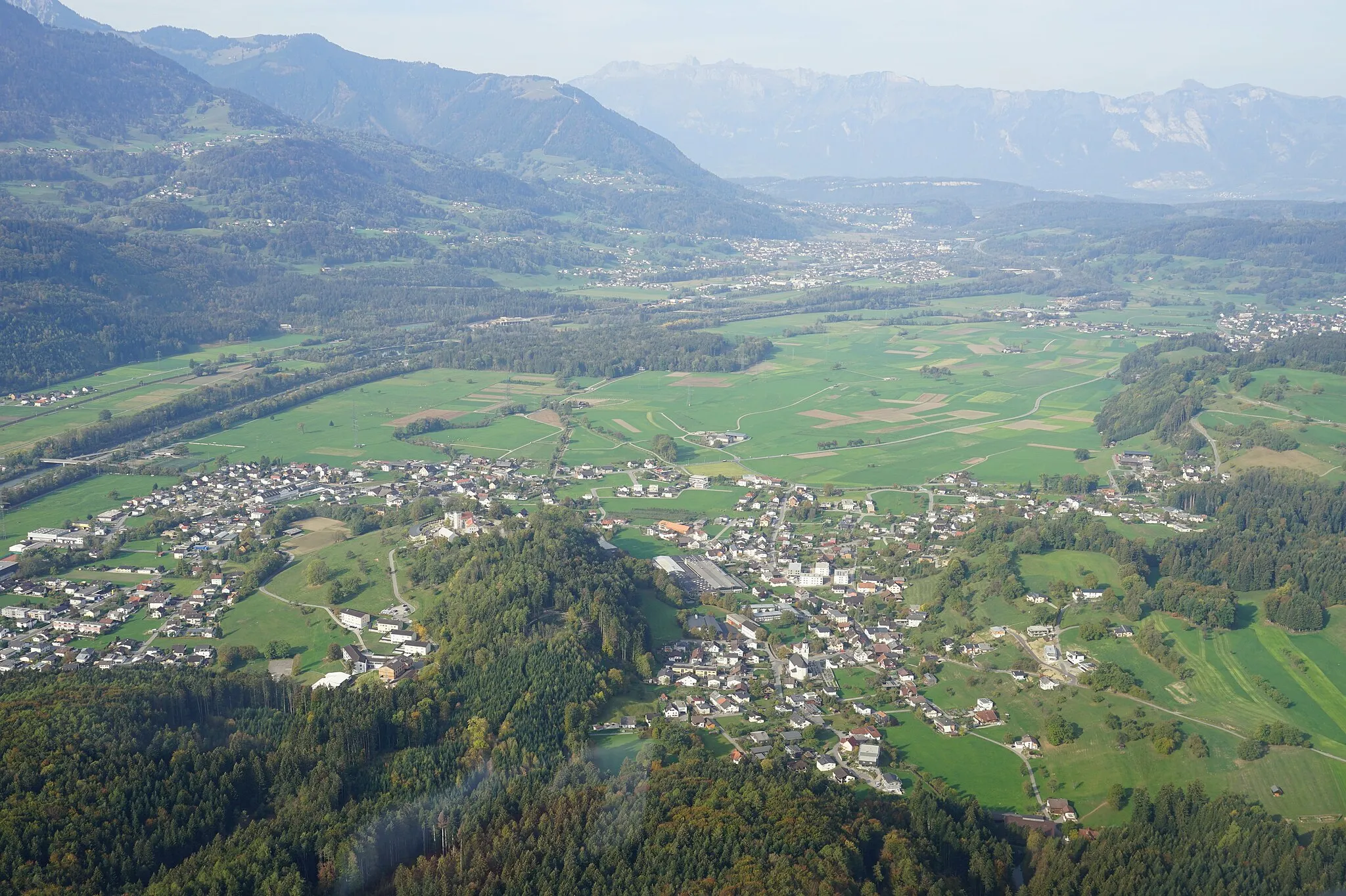
ZwischenwasserVillageZwischenwasser is a picturesque village with scenic hiking trails.
35 km
35 km
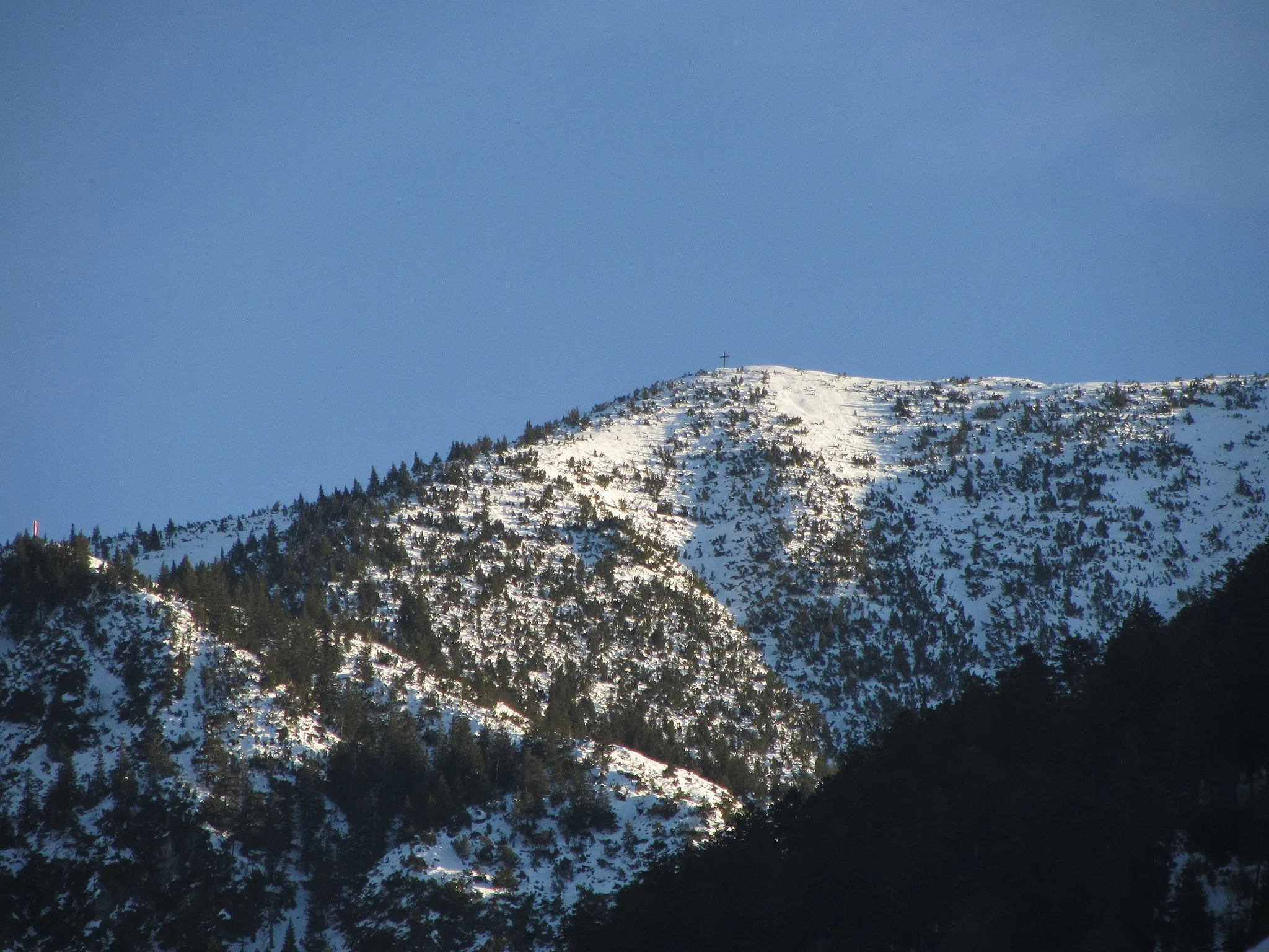
Alpwegkopf1437 mViewpointAlpwegkopf offers breathtaking views of the surrounding alpine scenery.
49 km
49 km
Furkajoch1761 mMountain PassFurkajoch is a legendary cycling spot with challenging climbs.
55 km
55 km
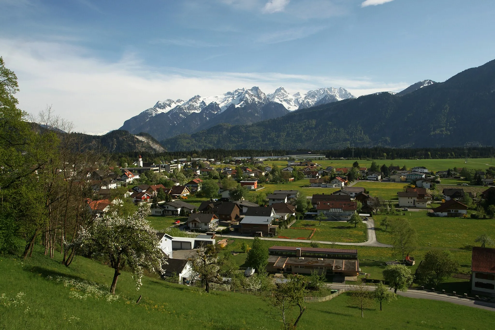
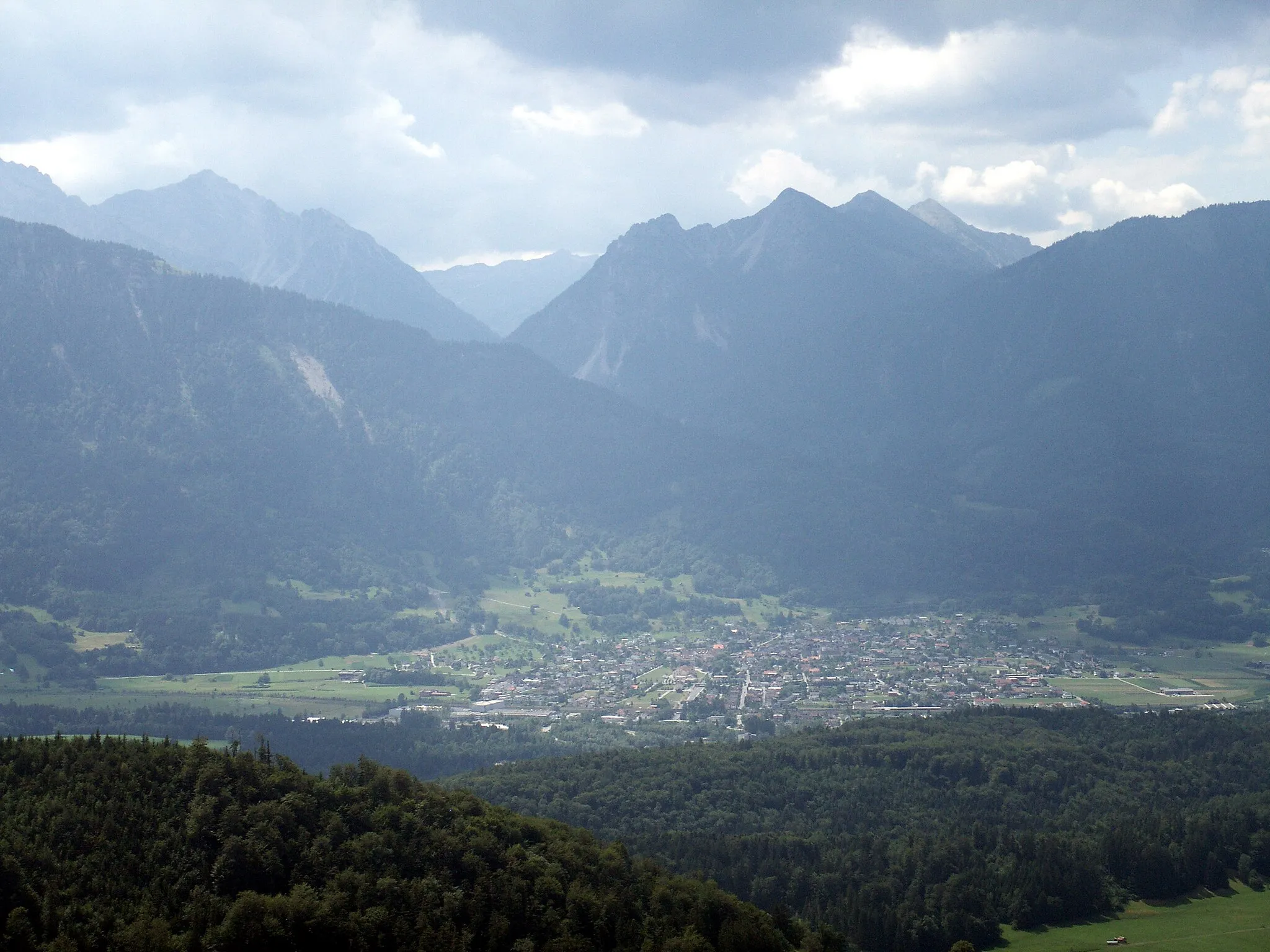
DamülsVillageDamüls is a charming village perfect for outdoor activities.
63 km
63 km
FontanellaVillageFontanella is a traditional village with beautiful architecture.
85 km
85 km
NüzidersVillageNüziders offers stunning views of the neighboring peaks.
88 km
88 km
Finish: Bürs Village centerBürs: Alpine Cycling Paradise in Vorarlberg
Cycling routes from Buers:
Picturesque Vorarlberg Gravel Ride The Alpine Challenge Round-trip Cycling Route near Bürs (Vorarlberg, Austria) Vorarlberg Gravel Adventure Nüziders to Bürserberg Loop Glimpse of Vorarlberg Gravel Trail Bürserberg Gravel Adventure Bludenz to Fürkele Loop Adventurous Ride through Vorarlberg Nüziders to Bürserberg Scenic Trail
Cycling routes nearby: