Ardetzenberg Loop
A gravel cycling route starting from Feldkirch
A scenic gravel ride with a climb to Ardetzenberg
Map
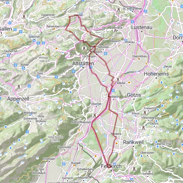
The Ardetzenberg Loop is a scenic gravel route starting near Feldkirch. This 68-km loop takes you through picturesque landscapes and offers stunning views. The highlight of the route is the climb to Ardetzenberg, where you can enjoy panoramic views of the surrounding mountains. The route has a moderate difficulty level, suitable for well-trained amateurs. With a score of 4 for epicness, this route offers a challenging yet rewarding cycling experience.
gravel
68 km
1271 m
Tough
Route profile
Highlights on the route
0 km
0 km
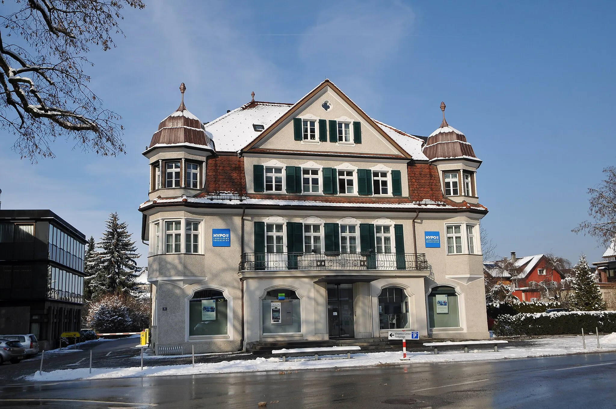
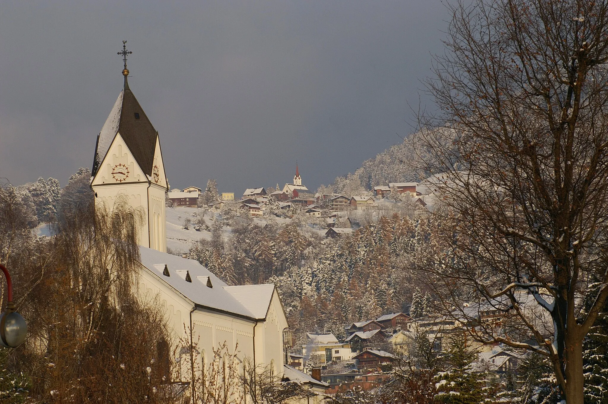
Start: Feldkirch City centerFeldkirch: Alpine Paradise for Cycling
Feldkirch, situated in Vorarlberg, Austria, is an enchanting locality that offers excellent cycling opportunities for both road and gravel cyclists. The region boasts striking alpine landscapes and well-paved roads, perfect for exploring the surrounding mountains. Cycling enthusiasts can take on famous climbs like the Riedstrasse or enjoy stunning panoramic views while riding along the Arlenwaldstrasse. With its cyclist-friendly environment and captivating mountain scenery, Feldkirch is a top choice for cycling enthusiasts and tourists.2 km
2 km
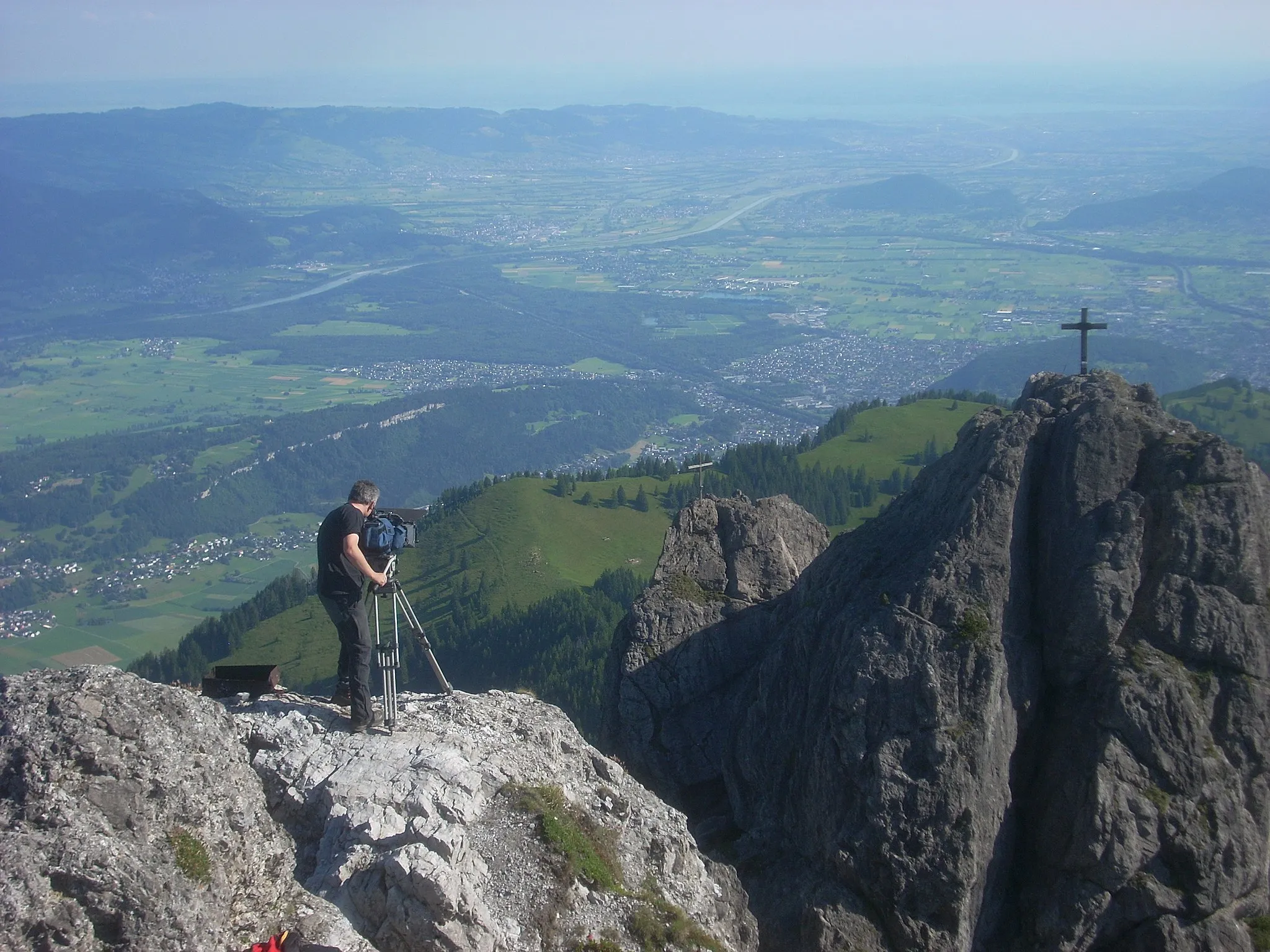
Ardetzenberg631 mPeakClimb to Ardetzenberg for panoramic mountain views
13 km
13 km
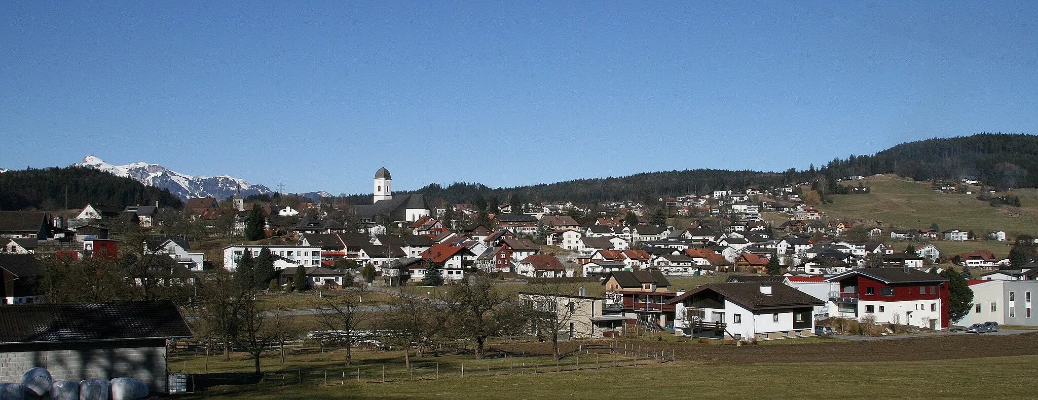
KoblachVillageKoblach, a charming village along the route
29 km
29 km
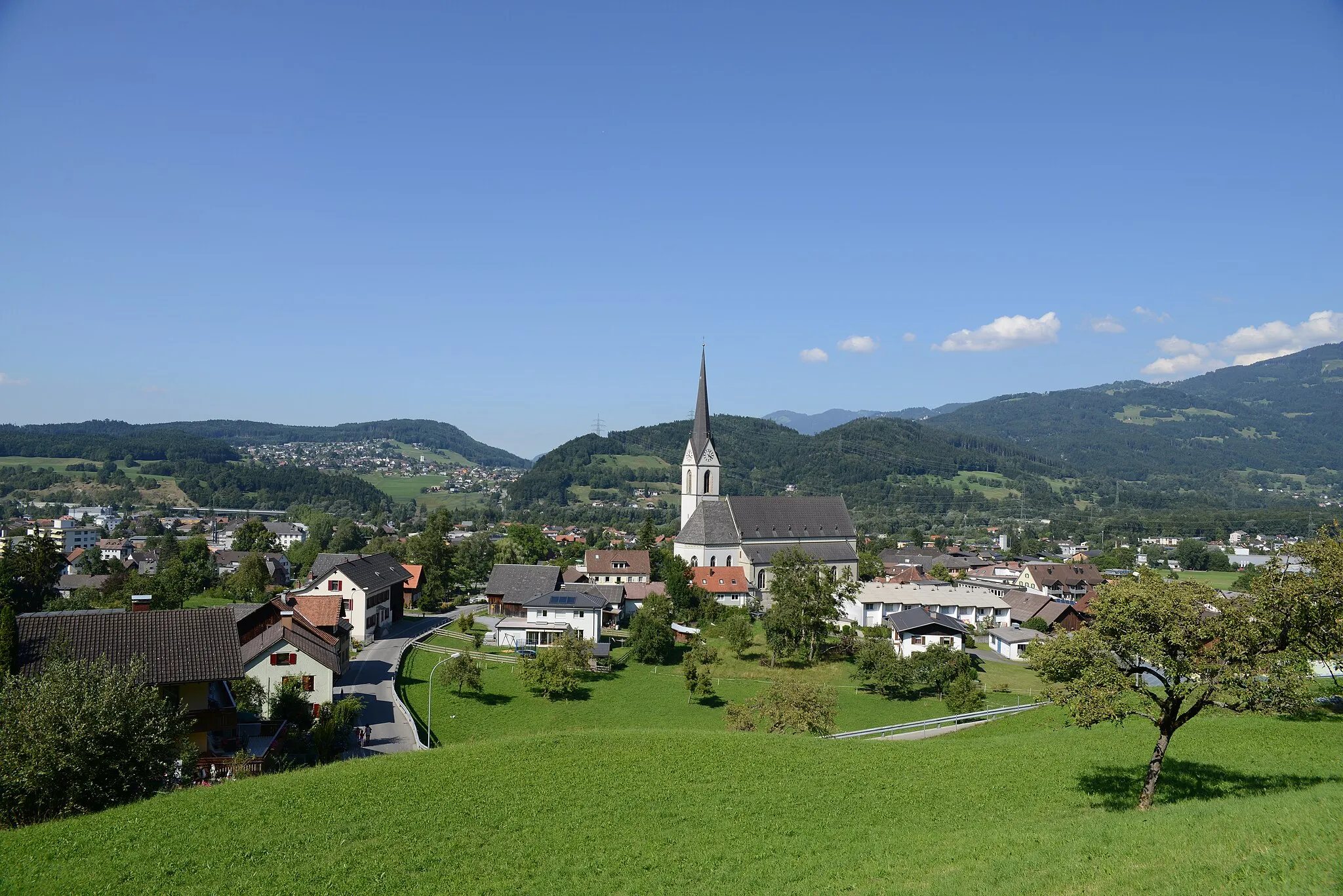
ObereggVillageOberegg, a beautiful spot with scenic vistas
33 km
33 km
DunantplatzViewpointDunantplatz, a historical square to explore
48 km
48 km
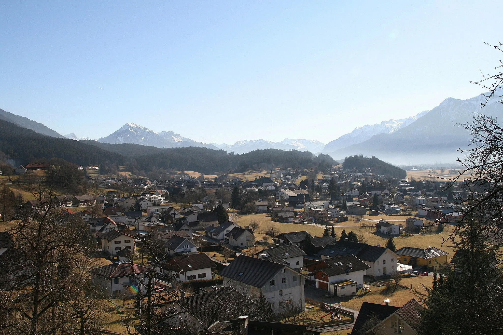
LüchingenVillageLüchingen, a quaint village worth a visit
52 km
52 km
Beobachtungsturm SpitzmäderViewpointBeobachtungsturm Spitzmäder, a lookout tower with stunning views
66 km
66 km
NofelsSub-urbNofels, a picturesque neighborhood to pass through
68 km
68 km
Känzele635 mPeakKänzele, a popular viewpoint along the route
68 km
68 km
Finish: Feldkirch City centerFeldkirch: Alpine Paradise for Cycling
Cycling routes nearby: