The Alpine Adventure
A road cycling route starting from Feldkirch
Embark on an exciting road cycling journey through the Alps
Map
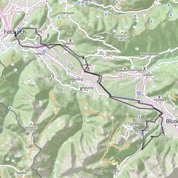
The Alpine Adventure is a challenging road cycling route with a total distance of 59 kilometers and an ascent of 1008 meters. This route is perfect for experienced cyclists looking for an adrenaline rush. The highlights along the route include Schattenburg, Känzele, and Fürkele. Schattenburg is a medieval castle overlooking Feldkirch, offering a glimpse into the region's history. Känzele provides breathtaking views of the surrounding mountains, while Fürkele is a scenic spot with a charming alpine atmosphere.
road
59 km
1008 m
Tough
Route profile
Highlights on the route
0 km
0 km
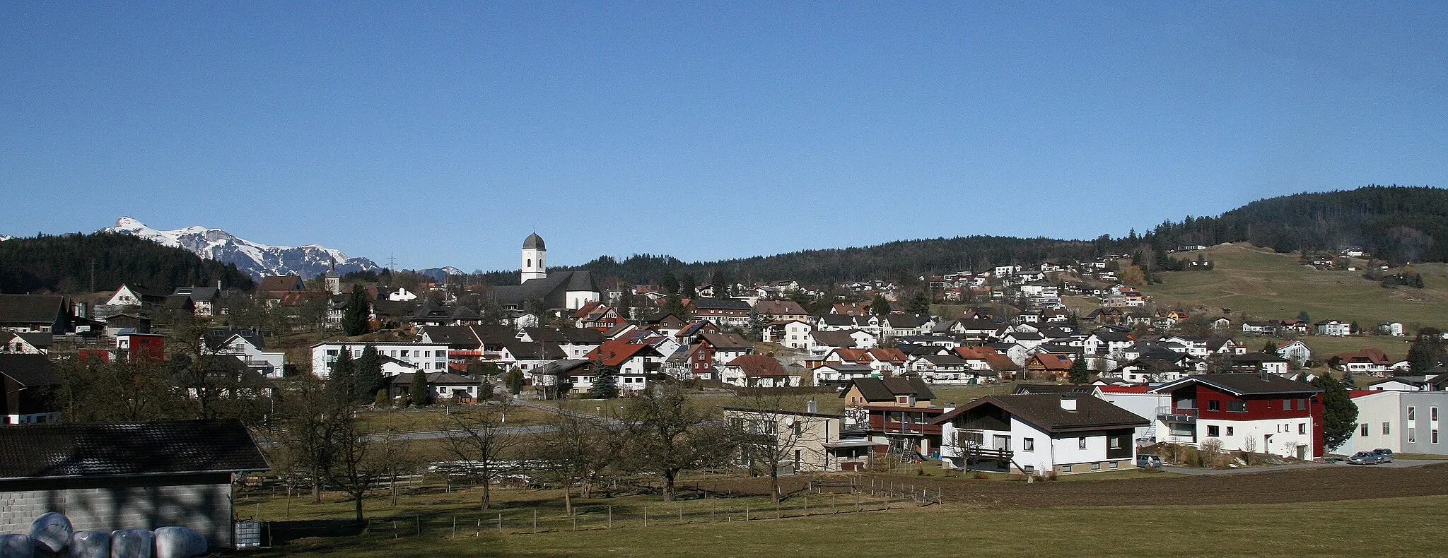
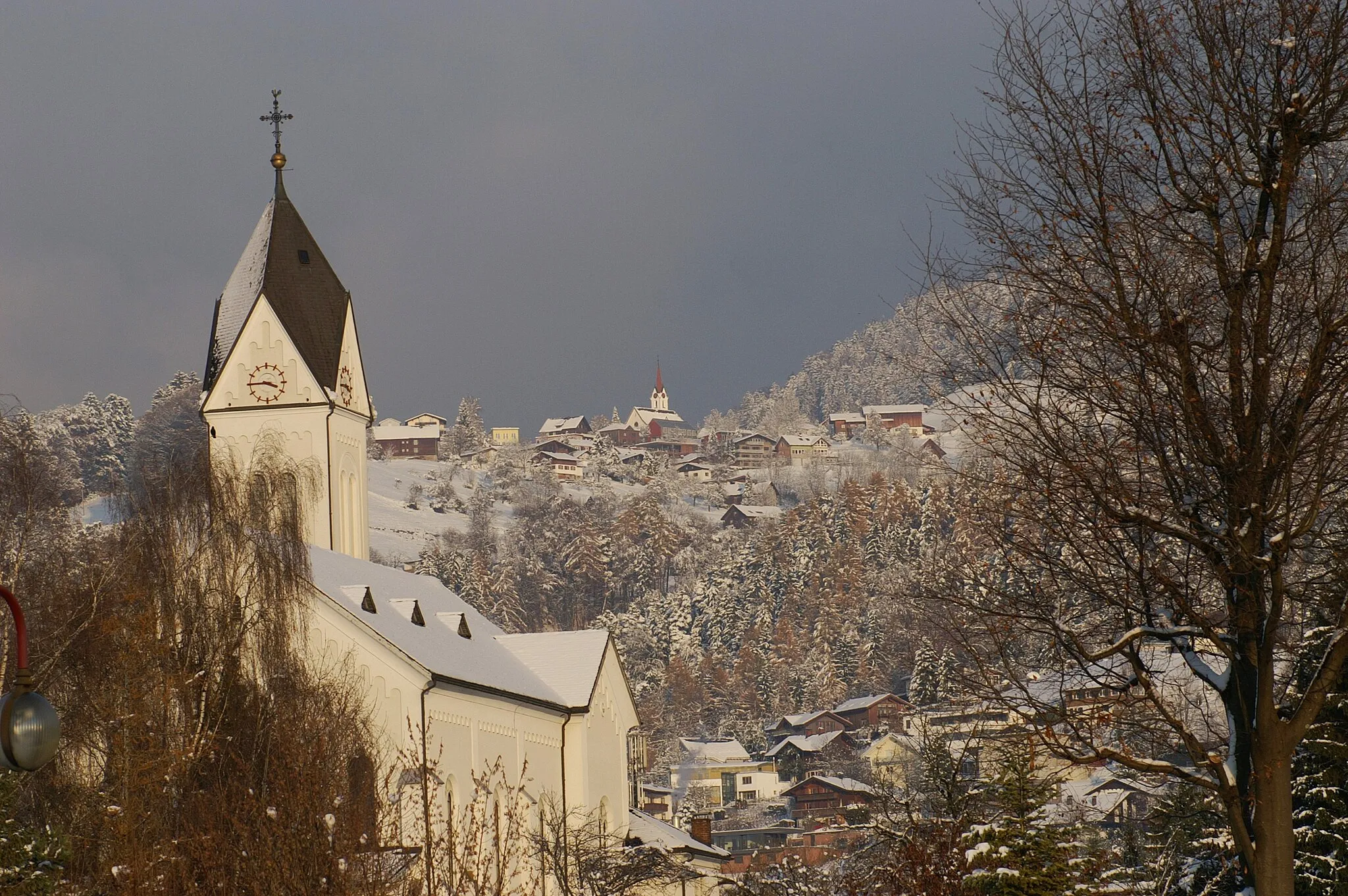
Start: Feldkirch City centerFeldkirch: Alpine Paradise for Cycling
Feldkirch, situated in Vorarlberg, Austria, is an enchanting locality that offers excellent cycling opportunities for both road and gravel cyclists. The region boasts striking alpine landscapes and well-paved roads, perfect for exploring the surrounding mountains. Cycling enthusiasts can take on famous climbs like the Riedstrasse or enjoy stunning panoramic views while riding along the Arlenwaldstrasse. With its cyclist-friendly environment and captivating mountain scenery, Feldkirch is a top choice for cycling enthusiasts and tourists.0 km
0 km
SchattenburgCastleSchattenburg is a must-visit highlight on this route, as it offers a fascinating glimpse into Feldkirch's medieval past.
1 km
1 km
Känzele635 mPeakKänzele is a perfect stop to take in the breathtaking views of the surrounding mountains and valleys.
20 km
20 km
Fürkele774 mPeakFürkele is a scenic spot with picturesque alpine landscapes, making it a great place for a break and some photos.
29 km
29 km
Valbonakopf1714 mPeakValbonakopf is a mountain peak that can be seen along the route, providing stunning views of the Alps.
34 km
34 km
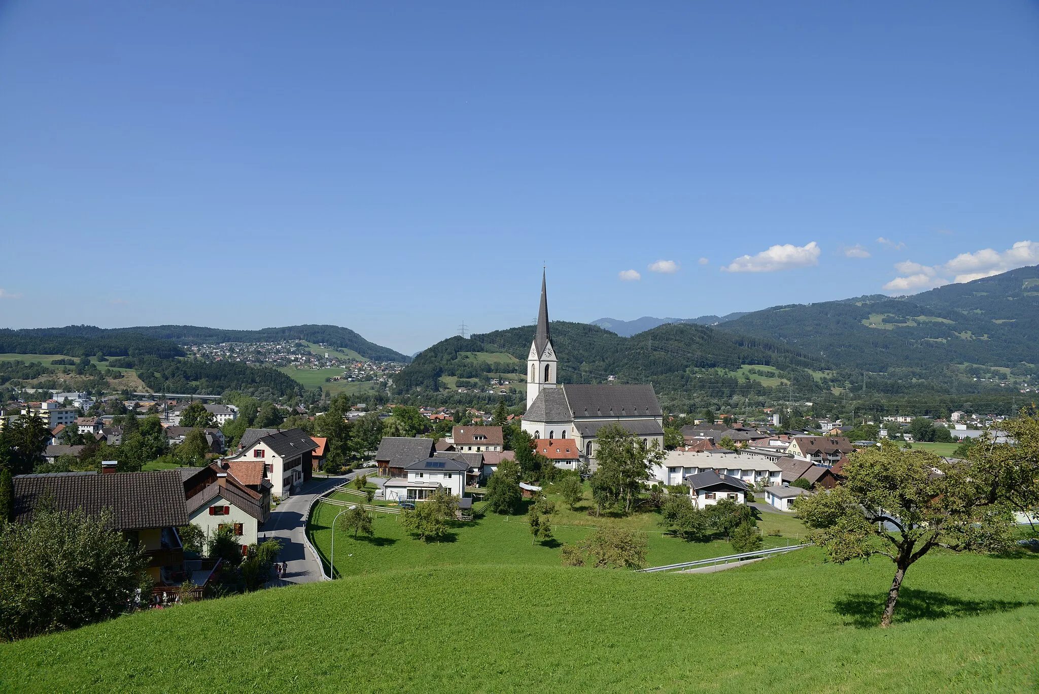
BürsVillageBürs is a charming village located in the Alpine region, offering a mix of outdoor activities and traditional architecture.
51 km
51 km
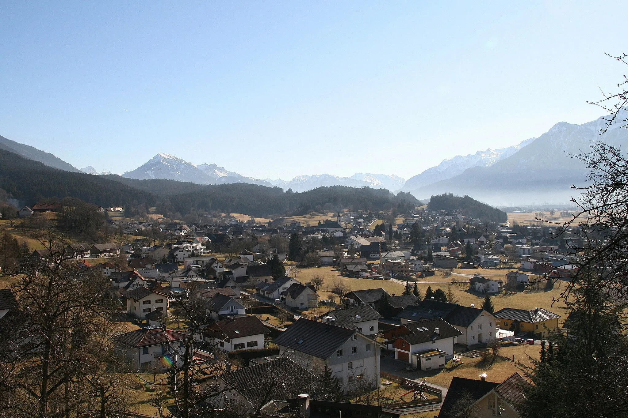
SatteinsVillageSatteins is a picturesque village nestled in the mountains, known for its hiking trails and beautiful scenery.
58 km
58 km
Niederes KänzeleViewpointNiederes Känzele is a viewpoint with panoramic vistas of the surrounding mountains and valleys, giving cyclists a chance to catch their breath.
59 km
59 km
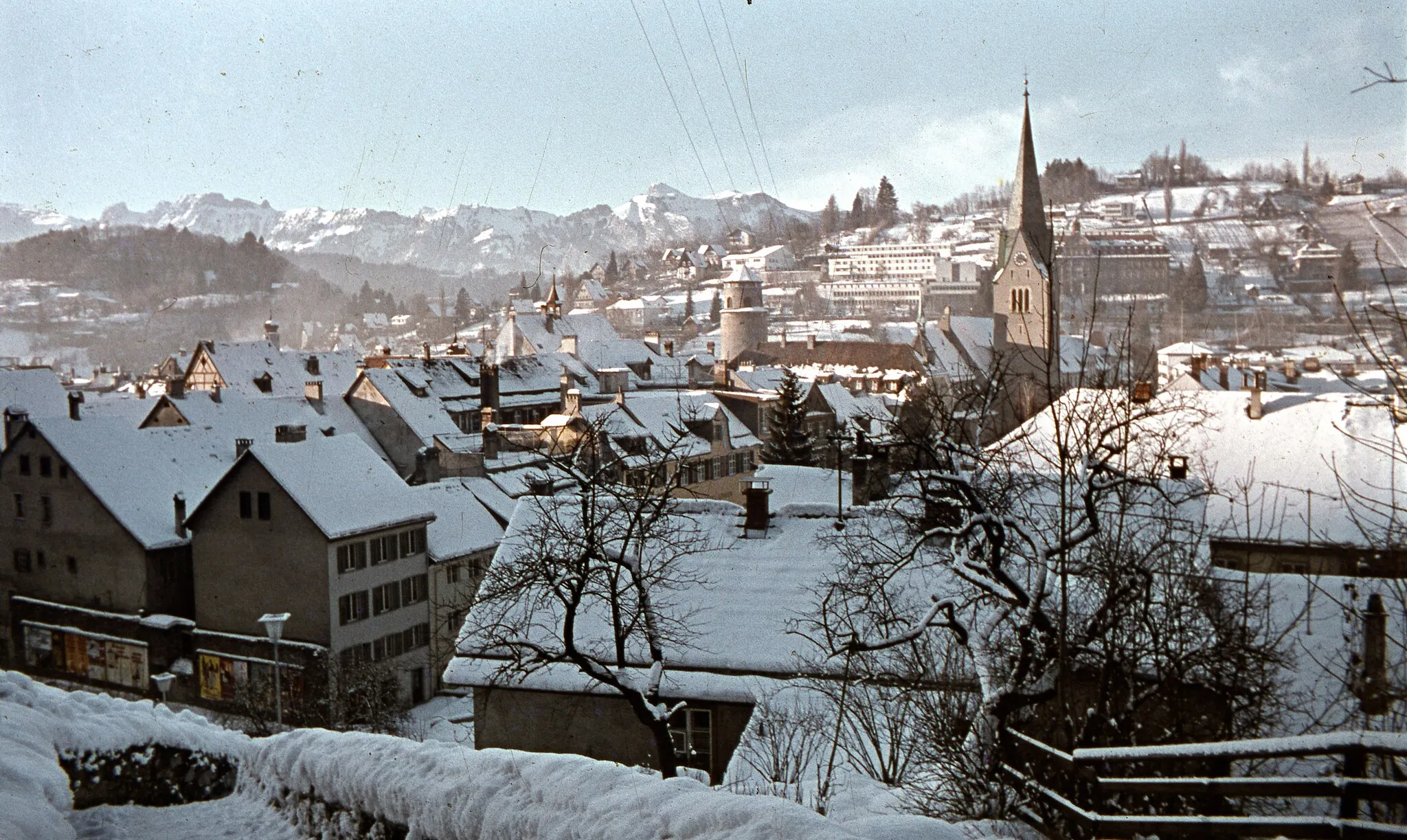
FeldkirchTownFeldkirch, the starting and ending point of this route, is a charming town with a rich history and beautiful architecture.
59 km
59 km
Finish: Feldkirch City centerFeldkirch: Alpine Paradise for Cycling
Cycling routes nearby: