Adventurous Gravel Challenge
A gravel cycling route starting from Goetzis
Embark on a challenging gravel adventure through stunning alpine landscapes
Map
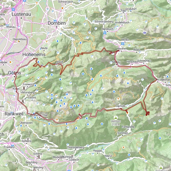
This gravel cycling route starting near Götzis is a true adventure for experienced gravel cyclists. With a total distance of 101 kilometers and an ascent of 4232 meters, this challenging route will put your skills and endurance to the test. Along the way, you'll be rewarded with breathtaking views of the alpine landscapes and encounter several highlights that will make the journey even more memorable. This route is only recommended for experienced gravel cyclists who are seeking a truly epic and unforgettable experience.
gravel
101 km
4232 m
Savage
Route profile
Highlights on the route
0 km
0 km
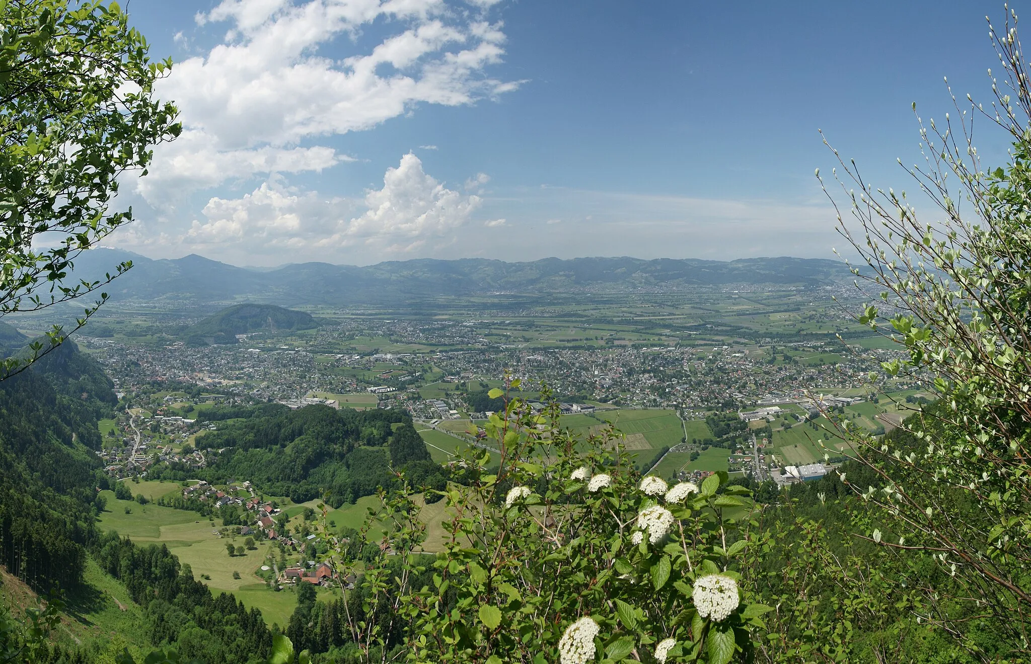
Start: Götzis City centerGötzis: Venturing into the cycling paradise of Götzis amidst the awe-inspiring Alpine landscapes.
Götzis, located in Vorarlberg, Austria, is a fantastic locality for cycling enthusiasts. The town is surrounded by picturesque mountains, making it a perfect base for both road and gravel biking. Cyclists can explore the challenging routes and enjoy breathtaking views of the Alps. With its stunning scenery and diverse cycling options, Götzis is a top-notch destination for cyclists seeking thrilling rides.2 km
2 km
SoeleViewpointSoele is a picturesque village with traditional Swiss chalets surrounded by stunning alpine scenery.
14 km
14 km
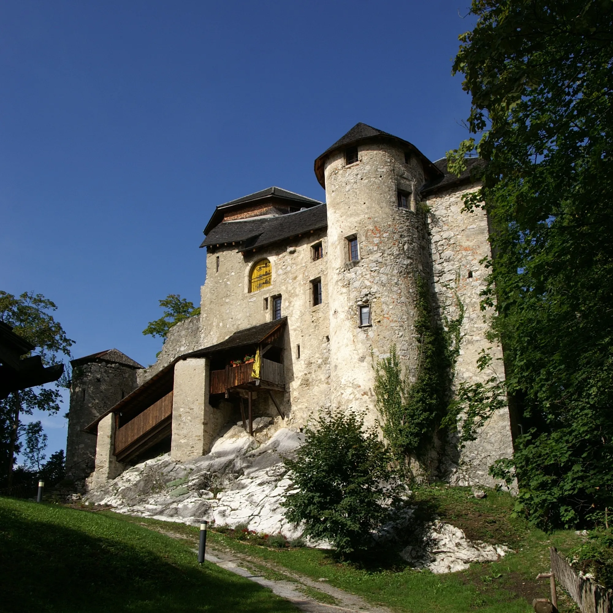
EbnitVillageEbnit is a small mountain village that serves as a starting point for hiking and mountaineering adventures.
38 km
38 km
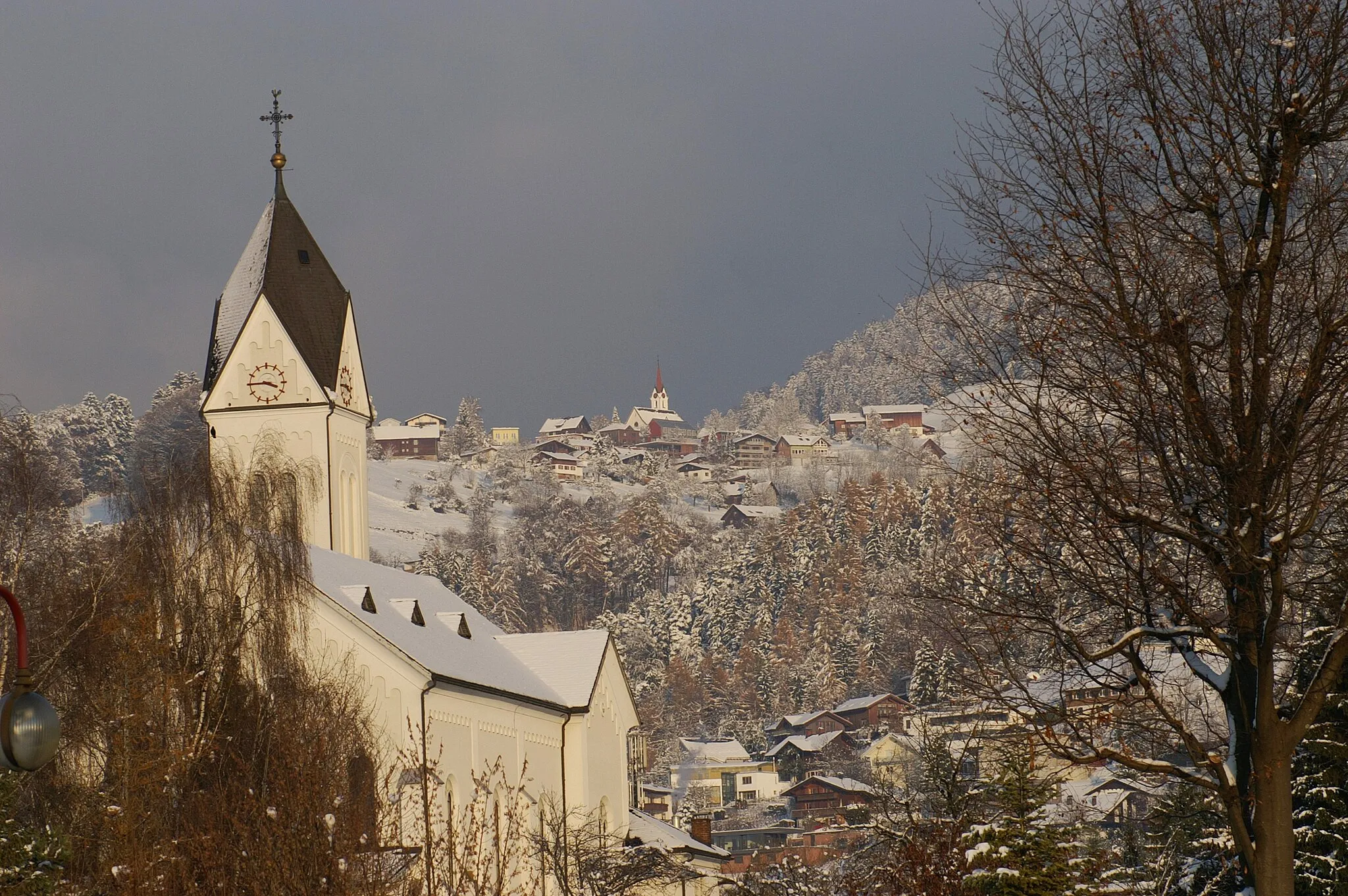
MellauVillageMellau is a popular winter sports destination that offers stunning views and excellent trails for outdoor activities.
39 km
39 km
BödeleseggViewpointBödelesegg is a viewpoint that offers panoramic views of the surrounding mountains and valleys, perfect for a short break and photo opportunity.
47 km
47 km
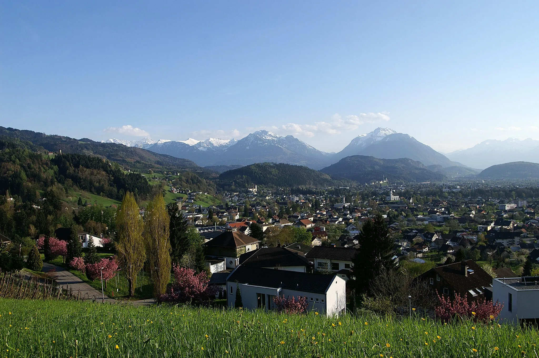
AuVillageAu is a charming village located along the banks of the Rhine River, offering a peaceful atmosphere and beautiful natural surroundings.
57 km
57 km
Hochschere2013 mMountain PassHochschere is a challenging gravel climb with steep gradients and rewarding panoramic views at the top.
68 km
68 km
DamülsVillageDamüls is a mountain village known for its ski slopes in winter and stunning alpine landscapes in summer.
74 km
74 km
Furkajoch1761 mMountain PassFurkajoch is a legendary climb that has been featured in professional cycling races, offering a true challenge for cyclists.
95 km
95 km
GantaViewpointGanta is a hidden gem in the Vorarlberg countryside, offering beautiful natural scenery and tranquil surroundings.
97 km
97 km
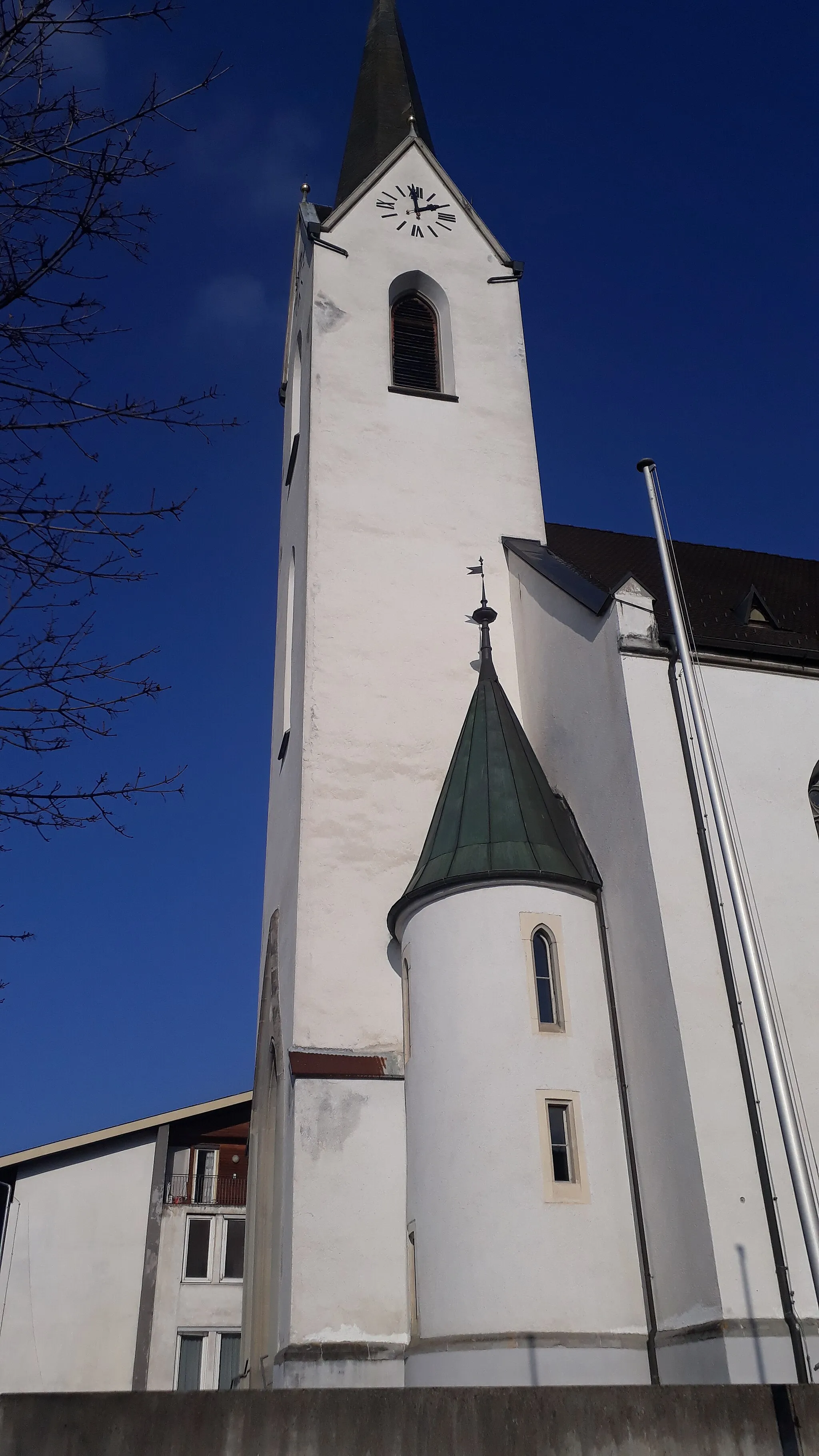
KlausVillageKlaus is a scenic village with traditional Austrian charm, located on the banks of the River Ill.
101 km
101 km
Finish: Götzis City centerGötzis: Venturing into the cycling paradise of Götzis amidst the awe-inspiring Alpine landscapes.
Cycling routes from Goetzis:
Cycling routes nearby: