Conquer iconic climbs in the Bregenz Forest from Weiler.
Cycling routes from Weiler
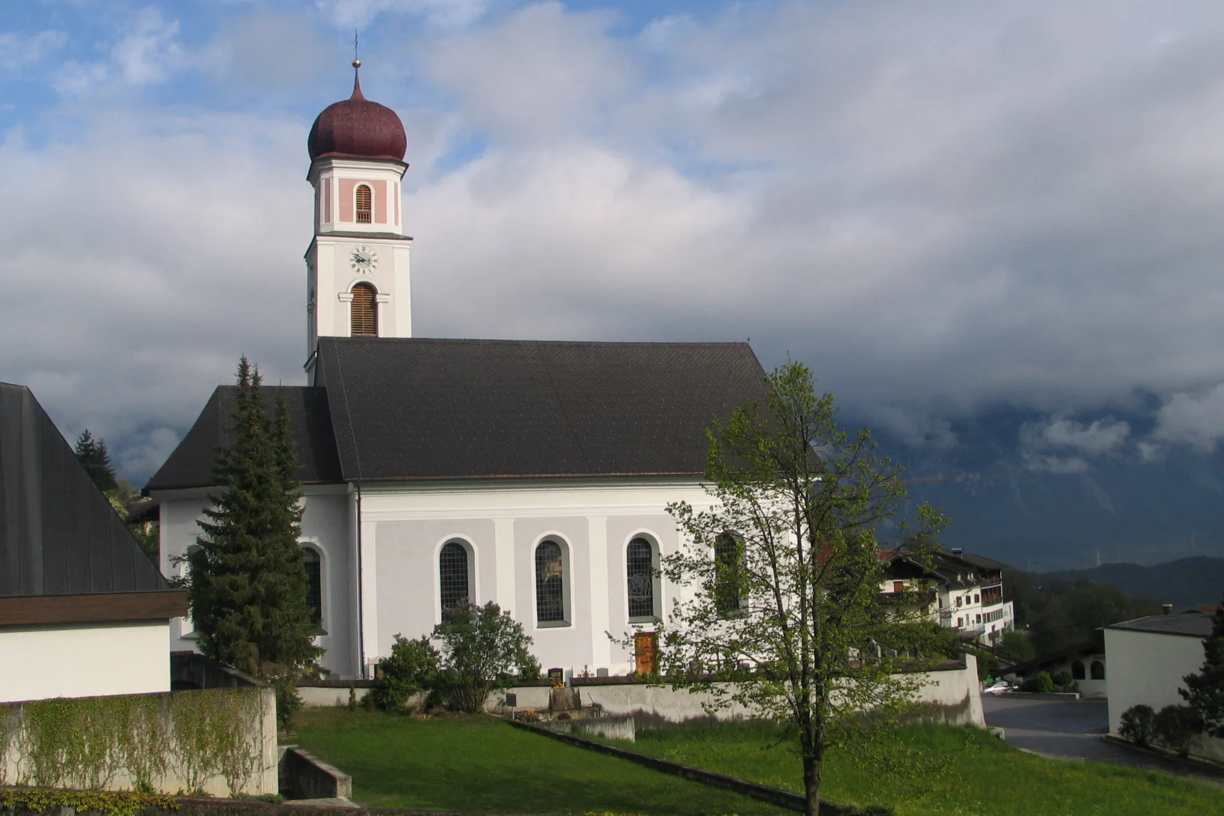
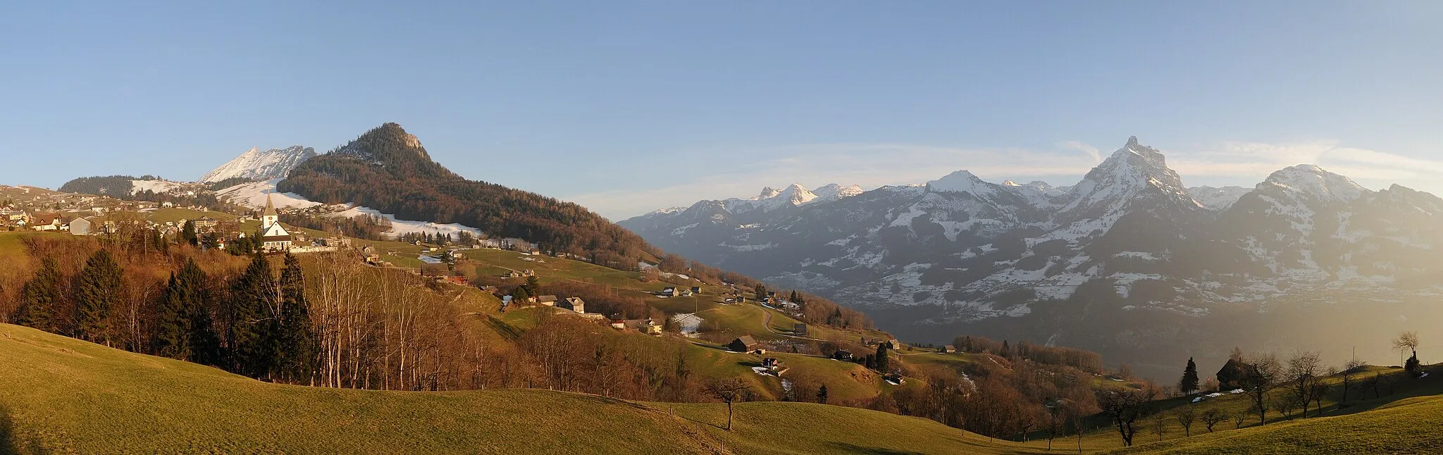
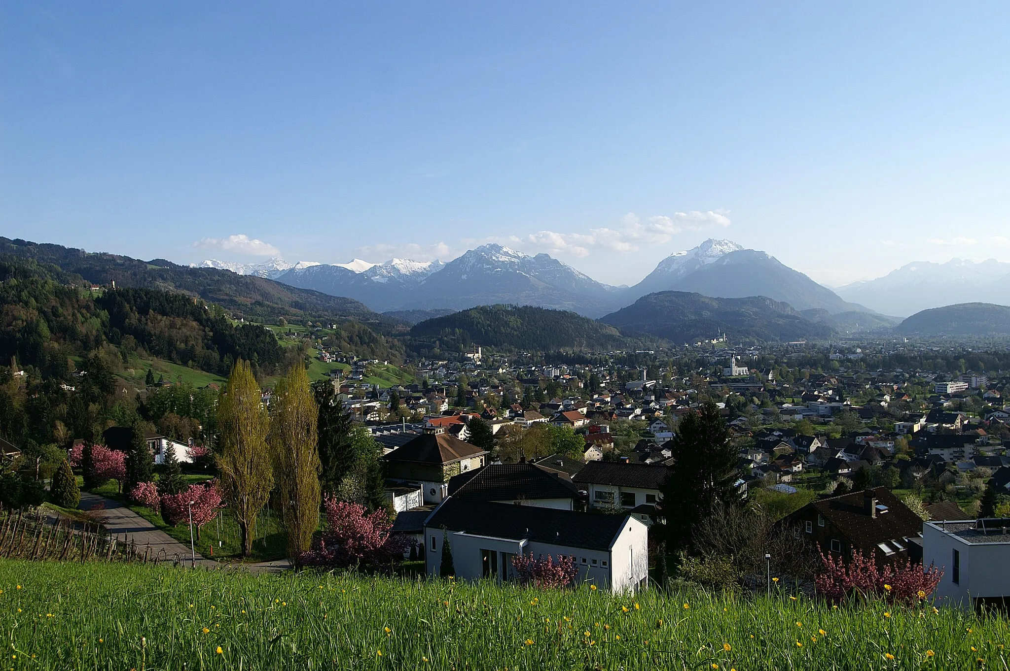
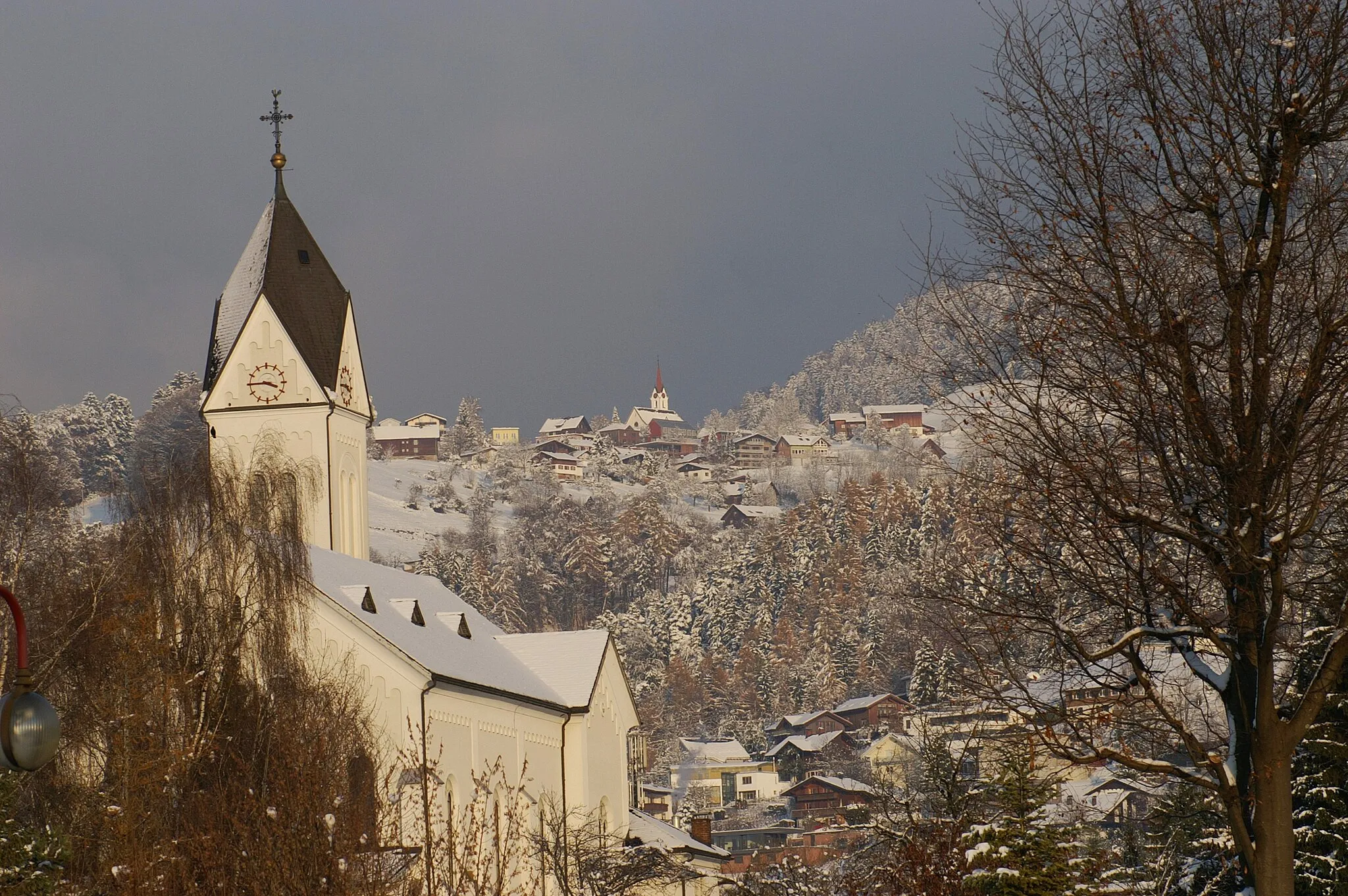
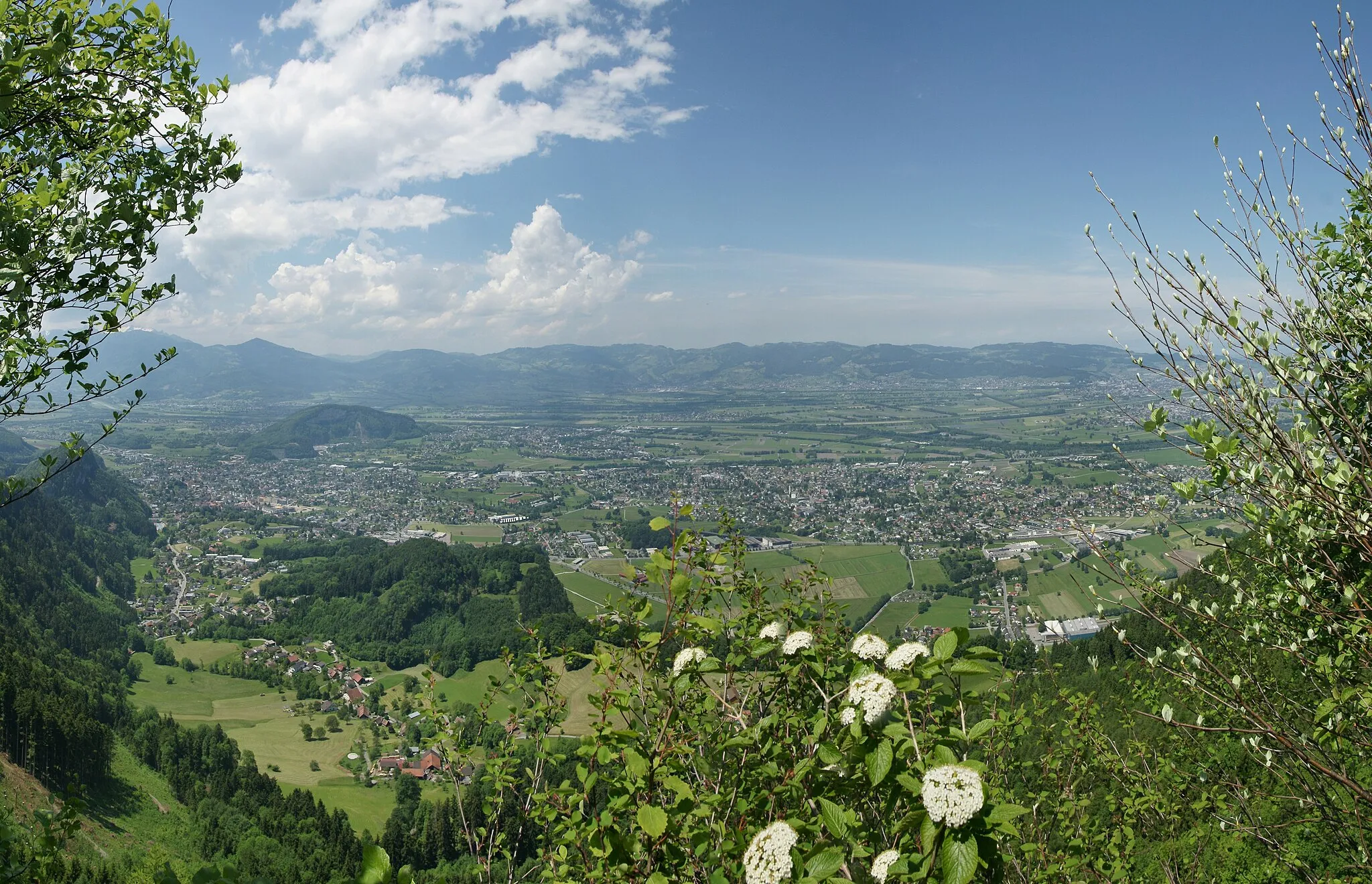
Weiler is a small locality located in the Vorarlberg region of Austria. From a cyclist's perspective, Weiler offers a mix of road cycling and gravel biking opportunities. The region's rolling hills and picturesque landscapes provide a scenic backdrop for cycling adventures. Weiler is also known for its proximity to the Bregenz Forest, which boasts well-known climbs such as the Hochtannberg Pass and the Arlberg Pass. Cyclists visiting Weiler can expect challenging rides and stunning views throughout their journey.
Cycling Paradise

Immerse yourself in a 108 km gravel paradise in Vorarlberg
Discover a cycling paradise in Vorarlberg with this stunning 108 km gravel route. With an ascent of 3875 meters, this route is suitable for experienced cyclists. Enjoy highlights such as Sankt Arbogast, Schönblick, Weißenfluh, Klauser Wasserfall, Schnepfegg, Schoppernau, Au, Damüls, Furkajoch, Furx, and Röthis.
Road Cycling Expedition
Embark on an exhilarating 108 km road cycling expedition in Vorarlberg
Embark on a thrilling 108 km road cycling expedition through the stunning landscapes of Vorarlberg. With an ascent of 1108 meters, this route offers a challenge for well-trained amateur cyclists. Enjoy highlights such as Blattenberg, Eichberg, Meistersrüte, Waldegg, Roggwil TG, Kybun Tower, Schloss Horn, Rheineck, Therenberg, and Sankt Arbogast along the way.
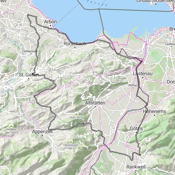
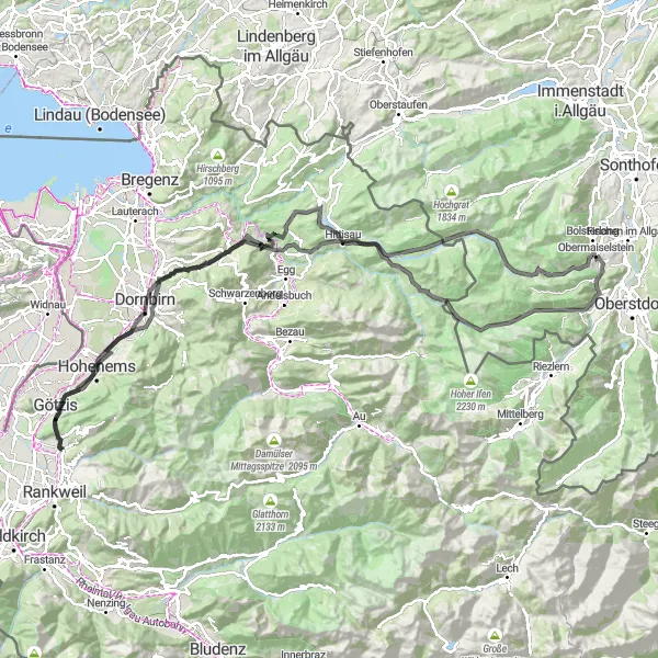
Embark on a challenging yet rewarding cycling journey through the stunning Alpine landscapes.
Experience the thrill of cycling in the majestic Austrian Alps, as you conquer steep ascents and soak in breathtaking views. This circular route near Weiler in Vorarlberg offers a rewarding challenge for well-trained amateur cyclists. With a total ascent of 1546 meters and a distance of 106 kilometers, this scenic ride will push your limits while immersing you in the beauty of nature.
A challenging gravel cycling route with scenic views.
The Gravel Adventure is a challenging gravel cycling route starting near Weiler. It offers scenic views and takes you through diverse terrain. With a total ascent of 3494 meters and a distance of 72 kilometers, this route is suitable for experienced cyclists. Along the way, you'll pass highlights such as Sankt Arbogast, Schönblick, Weißenfluh, and Klauser Wasserfall.

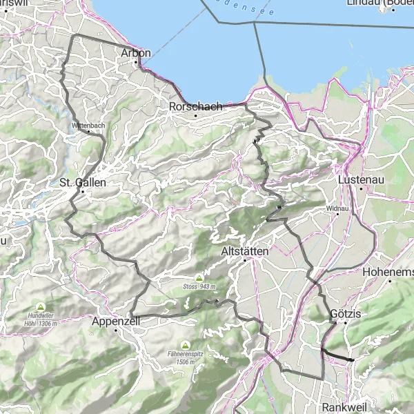
A scenic road cycling route with historical landmarks.
The Trogen Adventure is a scenic road cycling route starting near Weiler. It takes you through picturesque landscapes and past historical landmarks. With a total ascent of 1404 meters and a distance of 82 kilometers, this route is suitable for well-trained amateurs. Along the way, you'll pass highlights such as Blattenberg, Hinterforst, Thal, and Aussichtsplattform.
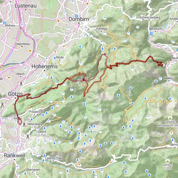
The Gravel Challenge
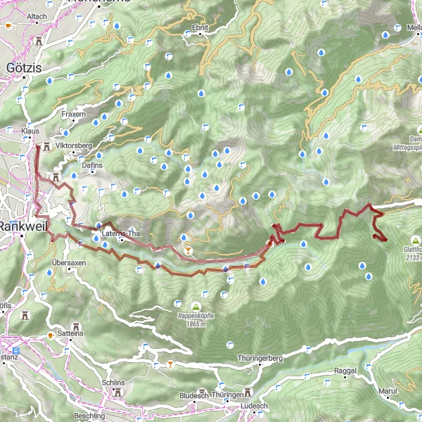
Explore a challenging 62 km gravel route in Vorarlberg
Embark on a thrilling gravel adventure in Vorarlberg, covering a distance of 62 km. With an ascent of 2820 meters, this route is perfect for well-trained amateurs seeking a challenge. Ride through beautiful landscapes and be rewarded with stunning views of Röthis, Furx, Furkajoch, Damülser Horn, Frutzkopf, and Batschunser Schlössle along the way.
The Mountain Challenge
An epic road cycling route with stunning mountainous scenery.
The Mountain Challenge is an epic road cycling route starting near Weiler. It takes you through mountainous terrain and offers breathtaking views. With a total ascent of 2870 meters and a distance of 136 kilometers, this route is suitable for experienced cyclists. Along the way, you'll pass highlights such as Therenberg, Palast Hohenems, Dornbirn, and Riedbergpass.
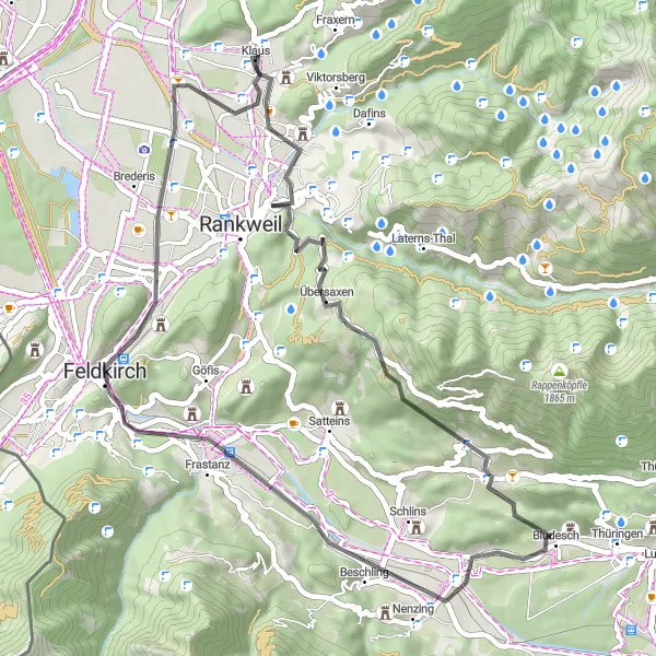
Enjoy a scenic 46 km road cycling route in Vorarlberg
Experience a delightful 46 km road cycling route in Vorarlberg, perfect for a shorter yet enjoyable ride. With an ascent of 780 meters, this route is suitable for leisurely rides or beginners looking to explore the region. Explore highlights such as Ganta, Übersaxen, Düns, Rabenstein, Schattenburg, Känzele, and Freilichtmuseum "Villa Rustica" along the way.
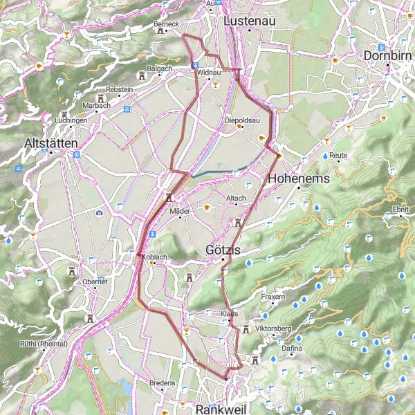
Experience a scenic 41 km gravel ride near Weiler in Vorarlberg
Embark on a picturesque 41 km gravel ride near Weiler and soak in the scenic beauty of Vorarlberg. With a meager ascent of 282 meters, this route is suitable for leisurely rides and beginners. Be sure to visit highlights such as Sulz, Kadel, Heerbrugg, Rebhüttli, Therenberg, and Sankt Arbogast for an enhanced cycling experience.
The Blattenberg Loop
A challenging road cycling route with stunning views.
The Blattenberg Loop is a challenging road cycling route starting near Weiler. It takes you through scenic landscapes and offers stunning views of the surrounding mountains. With a total ascent of 1388 meters and a distance of 80 kilometers, this route is suitable for well-trained amateurs. Along the way, you'll pass highlights such as Blattenberg, Eichberg, Meistersrüte, and Fünfländerblick.
Cycling routes nearby:


Nearby regions: