The Trogen Adventure
A road cycling route starting from Weiler
A scenic road cycling route with historical landmarks.
Map

The Trogen Adventure is a scenic road cycling route starting near Weiler. It takes you through picturesque landscapes and past historical landmarks. With a total ascent of 1404 meters and a distance of 82 kilometers, this route is suitable for well-trained amateurs. Along the way, you'll pass highlights such as Blattenberg, Hinterforst, Thal, and Aussichtsplattform.
road
82 km
1404 m
Tough
Route profile
Highlights on the route
0 km
0 km
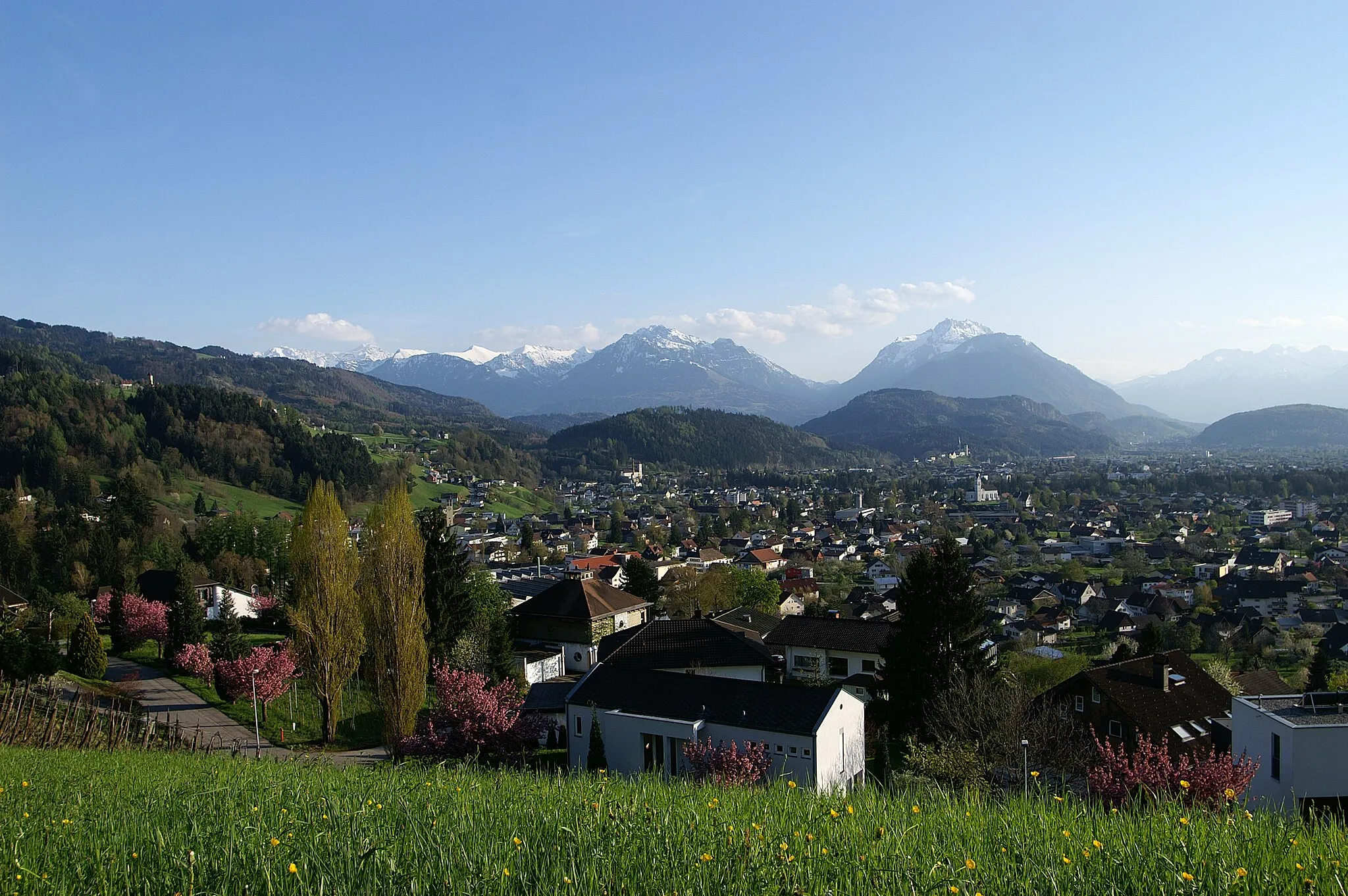
Start: Klaus Village centerWeiler: Conquer iconic climbs in the Bregenz Forest from Weiler.
Weiler is a small locality located in the Vorarlberg region of Austria. From a cyclist's perspective, Weiler offers a mix of road cycling and gravel biking opportunities. The region's rolling hills and picturesque landscapes provide a scenic backdrop for cycling adventures. Weiler is also known for its proximity to the Bregenz Forest, which boasts well-known climbs such as the Hochtannberg Pass and the Arlberg Pass. Cyclists visiting Weiler can expect challenging rides and stunning views throughout their journey.8 km
8 km
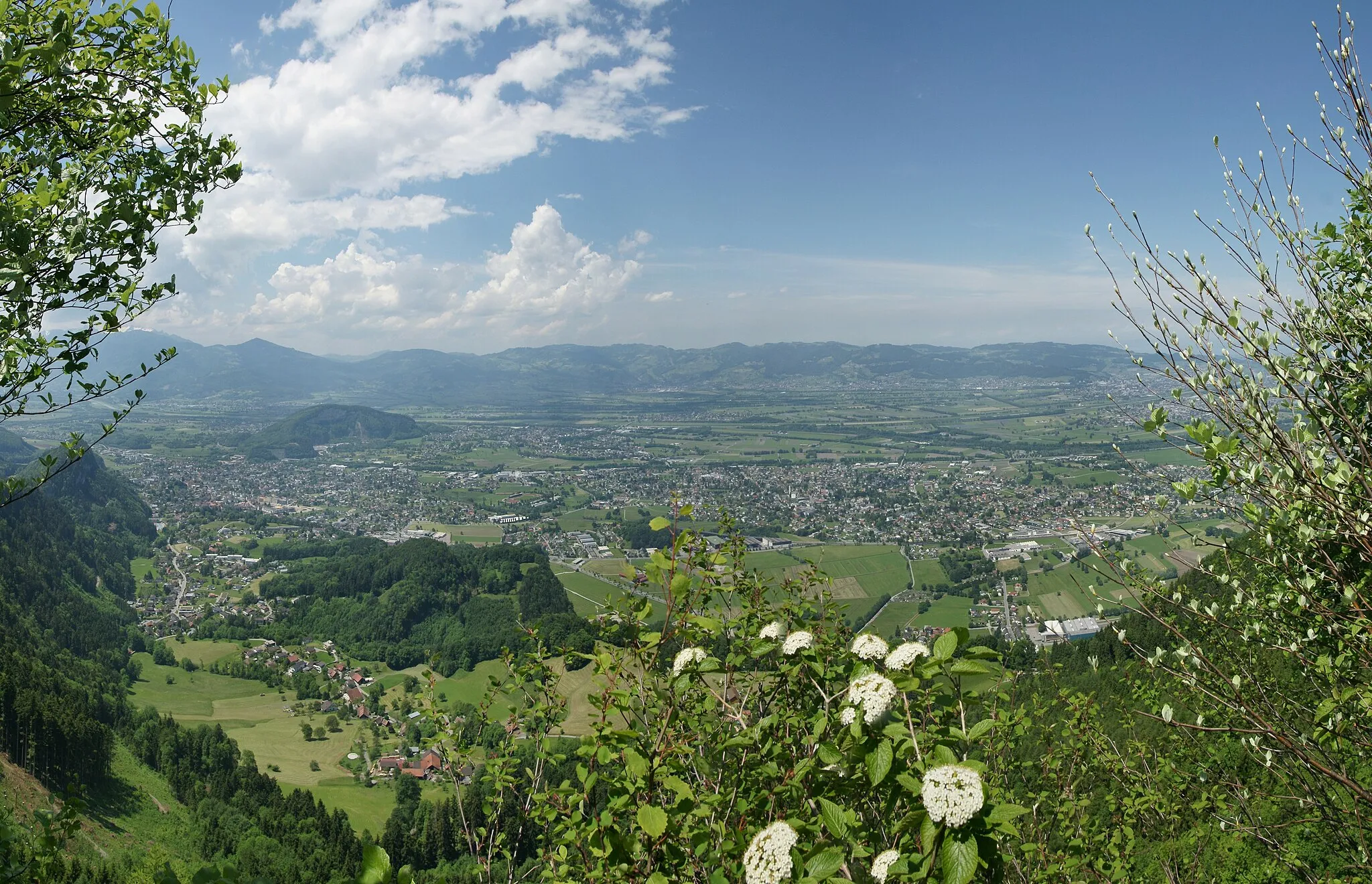
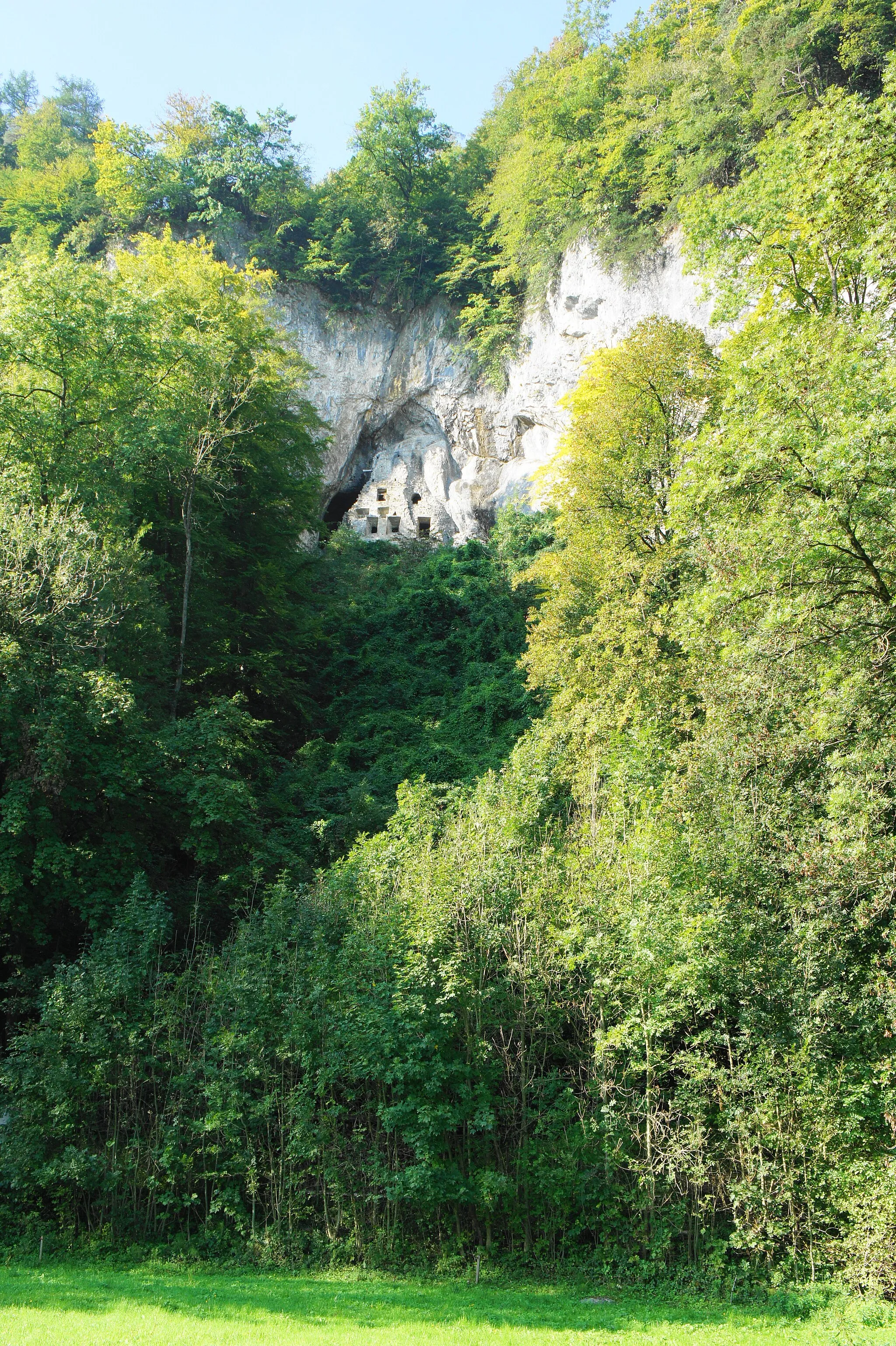
Blattenberg549 mPeakBlattenberg offers a panoramic view of the Rhine Valley.
14 km
14 km
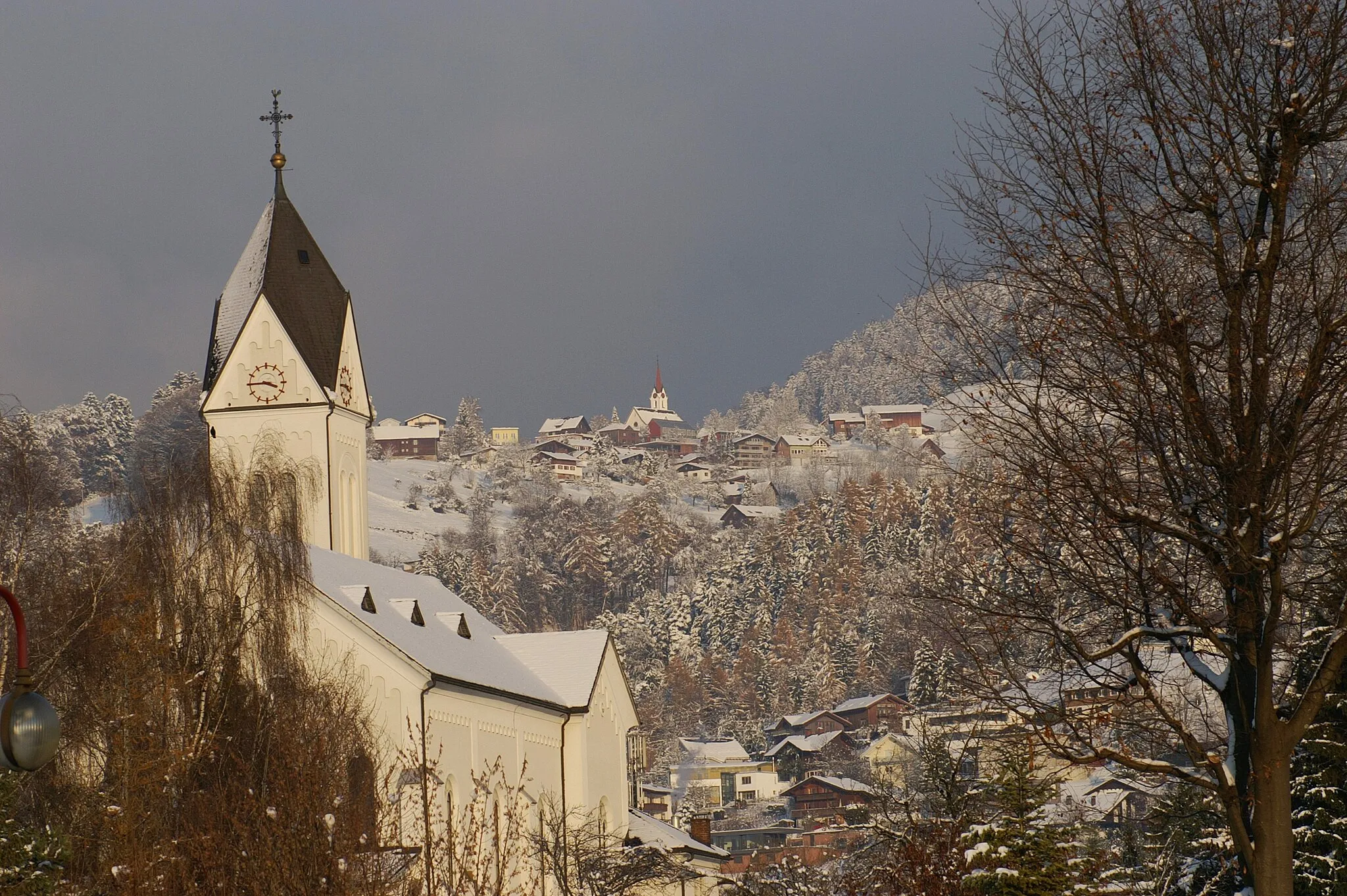
HinterforstVillageHinterforst is a picturesque Alpine village with traditional wooden houses.
25 km
25 km
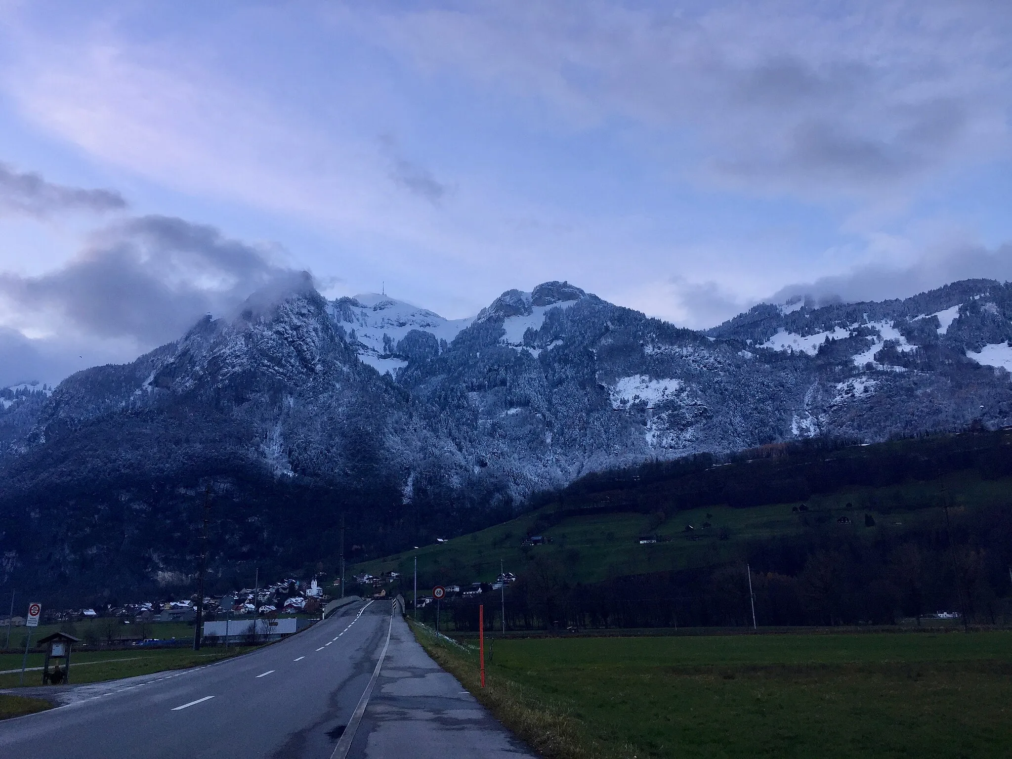
Ruppenpass1016 mMountain PassRuppenpass is a mountain pass with stunning views of the surrounding peaks.
30 km
30 km
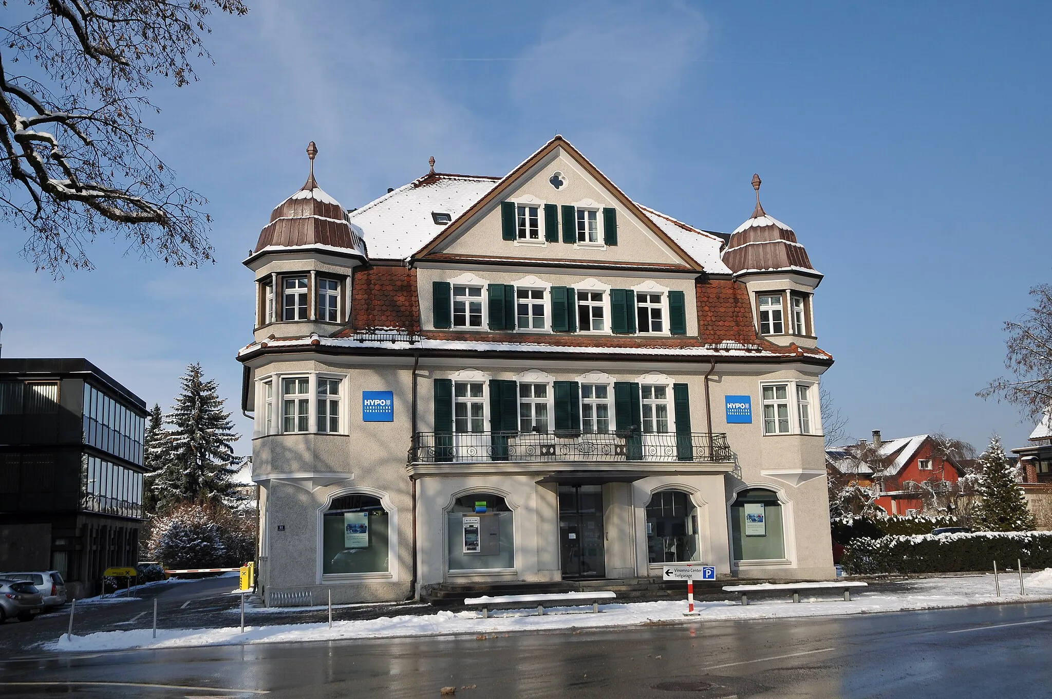
TrogenVillageTrogen is a historical village known for its charming old town and cultural landmarks.
54 km
54 km
ThalVillageThal is a small town with a rich history and beautiful architecture.
54 km
54 km
AussichtsplattformViewpointAussichtsplattform is a viewpoint offering panoramic views of the surrounding landscapes.
74 km
74 km
MäderVillageMäder is a charming village with traditional Austrian architecture and cozy cafes.
78 km
78 km
Schlosshügel466 mPeakSchlosshügel is a hilltop castle with beautifully landscaped gardens.
82 km
82 km
Finish: Klaus Village centerWeiler: Conquer iconic climbs in the Bregenz Forest from Weiler.
Cycling routes nearby: