The Gravel Adventure
A gravel cycling route starting from Weiler
A challenging gravel cycling route with scenic views.
Map
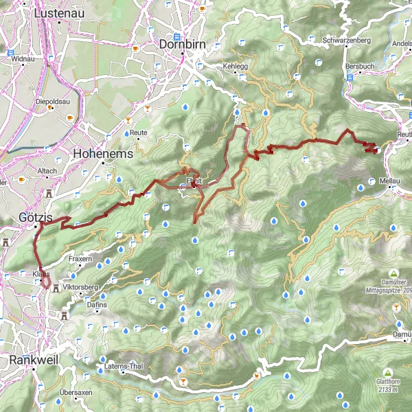
The Gravel Adventure is a challenging gravel cycling route starting near Weiler. It offers scenic views and takes you through diverse terrain. With a total ascent of 3494 meters and a distance of 72 kilometers, this route is suitable for experienced cyclists. Along the way, you'll pass highlights such as Sankt Arbogast, Schönblick, Weißenfluh, and Klauser Wasserfall.
gravel
72 km
3494 m
Savage
Route profile
Highlights on the route
0 km
0 km
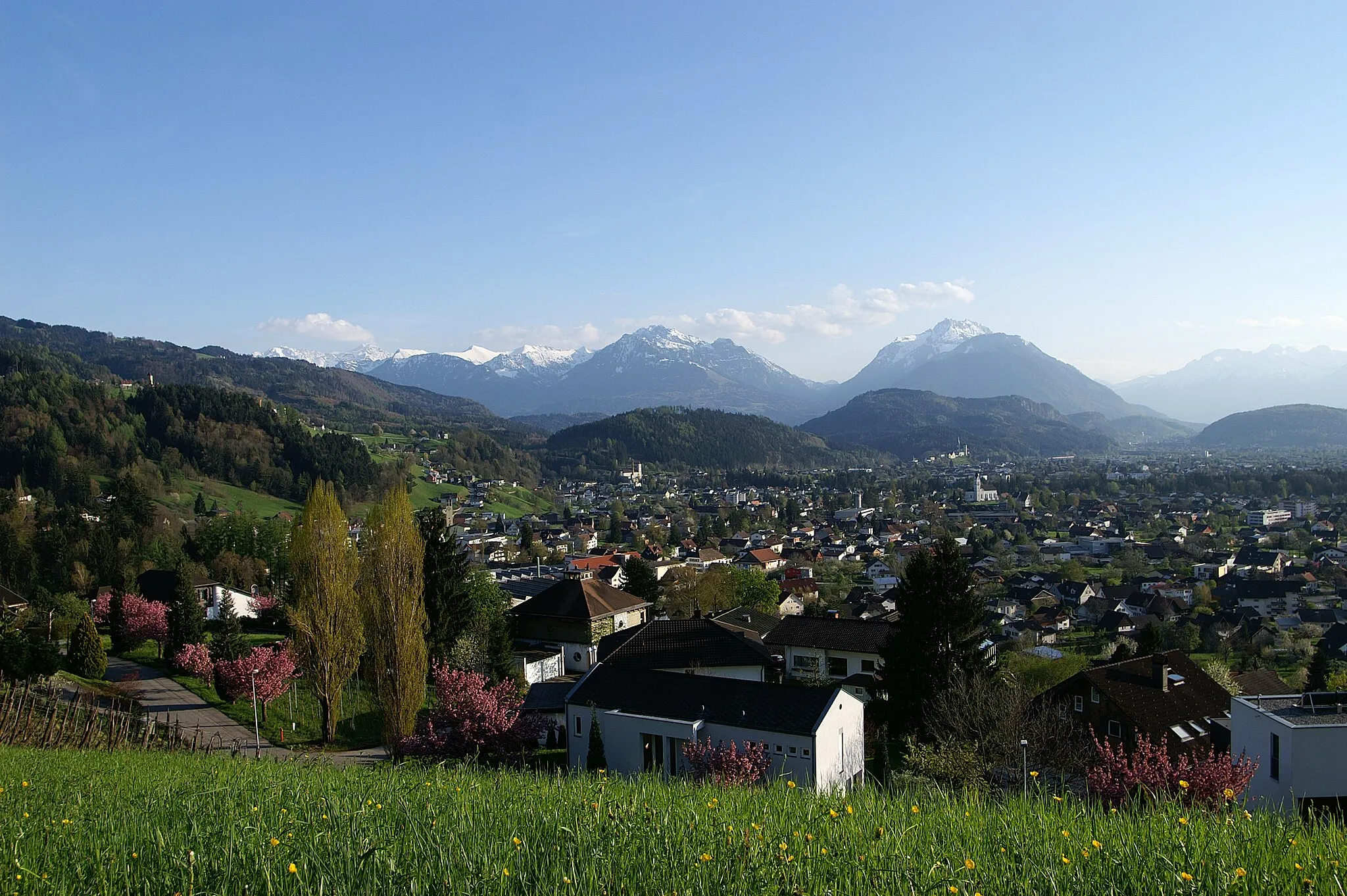
Start: Weiler Village centerWeiler: Conquer iconic climbs in the Bregenz Forest from Weiler.
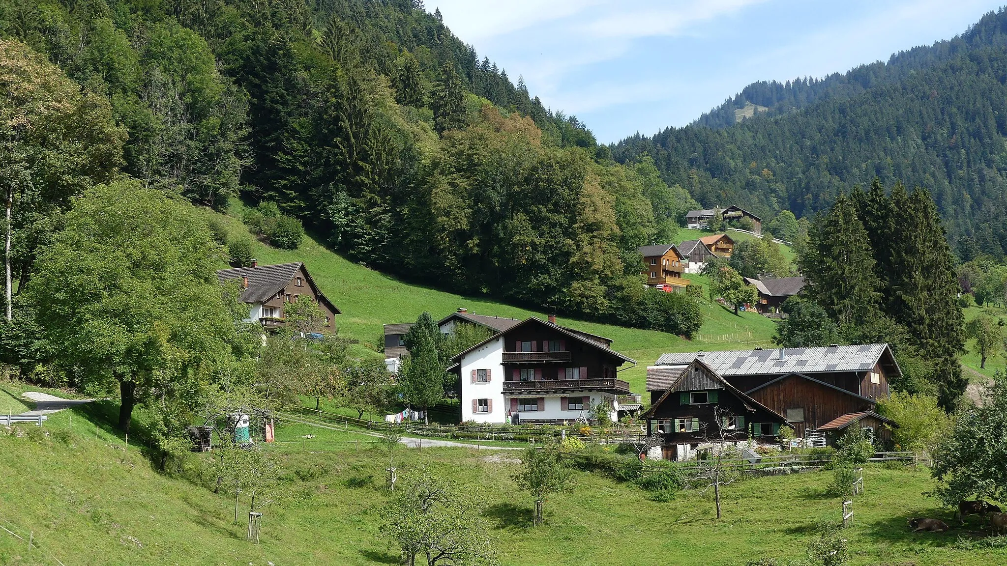
Weiler is a small locality located in the Vorarlberg region of Austria. From a cyclist's perspective, Weiler offers a mix of road cycling and gravel biking opportunities. The region's rolling hills and picturesque landscapes provide a scenic backdrop for cycling adventures. Weiler is also known for its proximity to the Bregenz Forest, which boasts well-known climbs such as the Hochtannberg Pass and the Arlberg Pass. Cyclists visiting Weiler can expect challenging rides and stunning views throughout their journey.2 km
2 km
Sankt ArbogastHamletSankt Arbogast is a picturesque monastery known for its tranquil atmosphere.
13 km
13 km
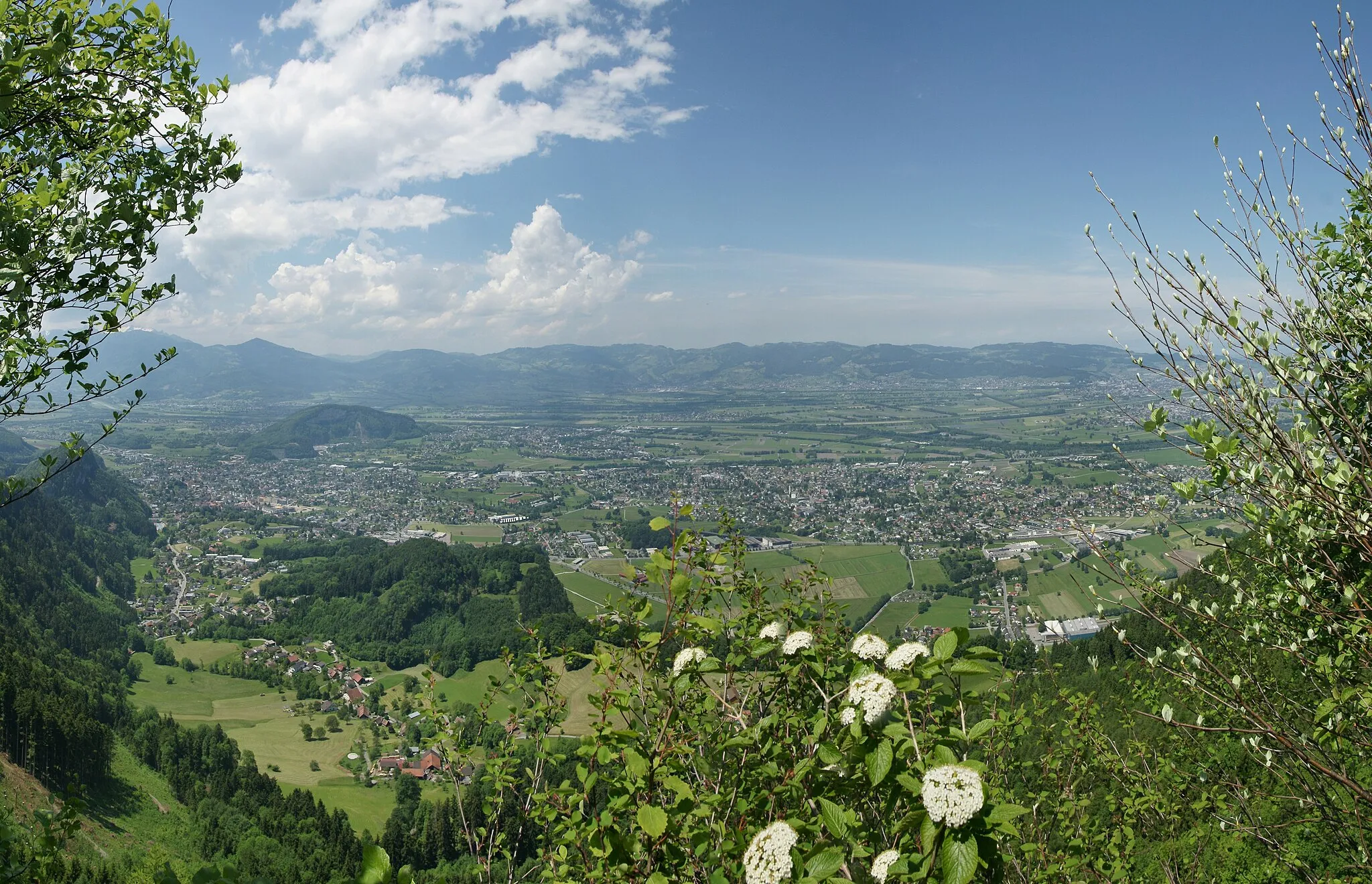
SchönblickViewpointSchönblick offers breathtaking panoramic views of the surrounding landscapes.
28 km
28 km
Weißenfluh1367 mPeakWeißenfluh is a picturesque mountain with stunning views of the alpine scenery.
34 km
34 km
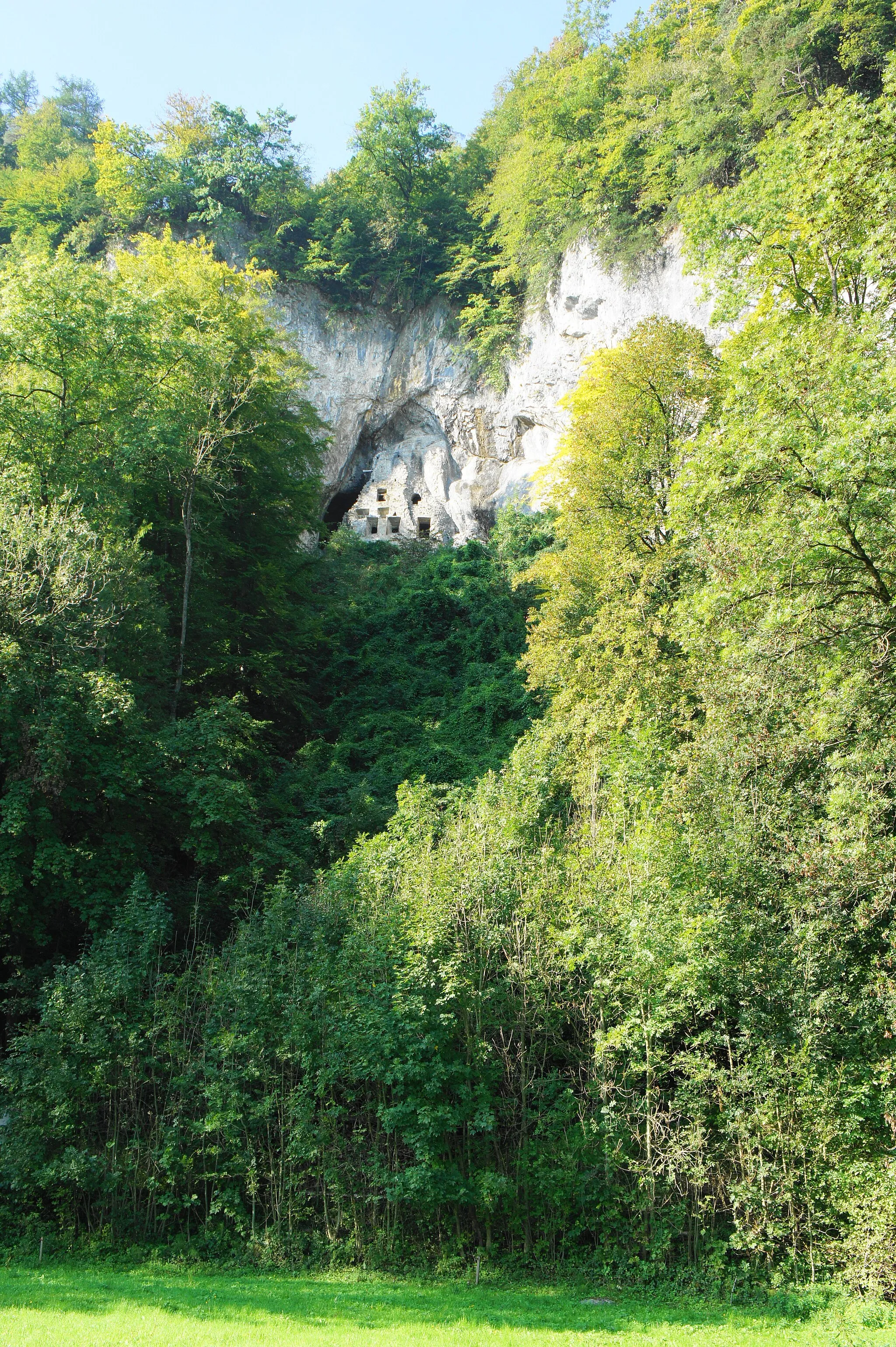
Klauser WasserfallWaterfallKlauser Wasserfall is a beautiful waterfall hidden in a serene forest.
50 km
50 km
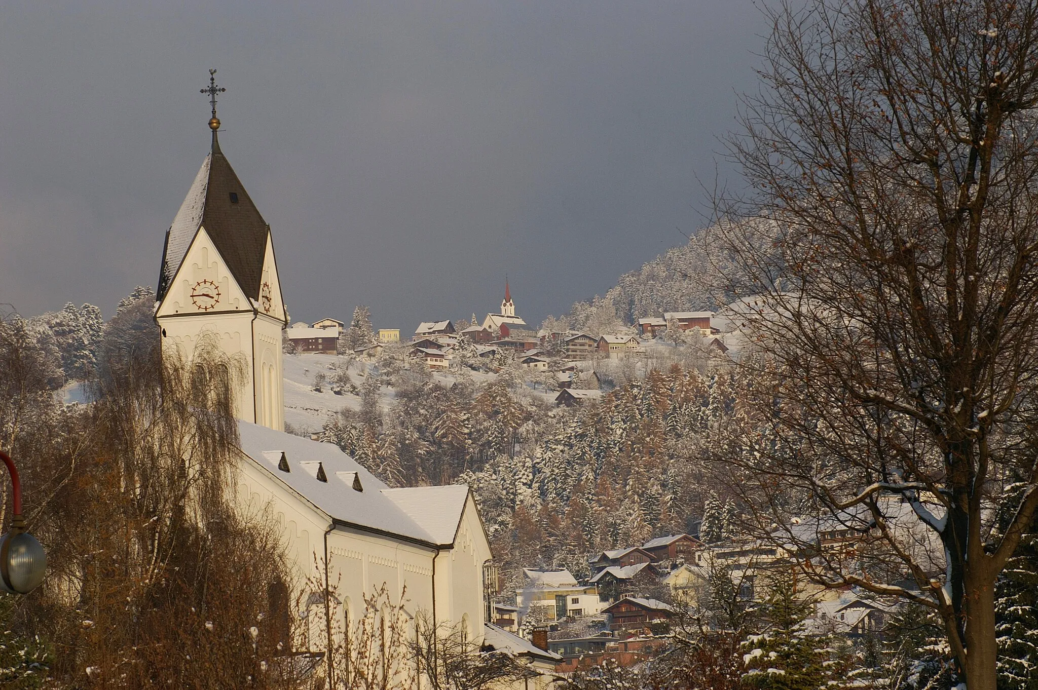
KirchleAttractionKirchle is a small village surrounded by beautiful meadows and forests.
57 km
57 km
Schöner Mann1532 mPeakSchöner Mann is a rugged peak with stunning views of the surrounding mountains.
65 km
65 km
MeschachHamletMeschach is a small village located in a scenic valley.
69 km
69 km
Simpeler513 mPeakSimpeler is a charming hamlet with traditional Swiss chalets and stunning vistas.
72 km
72 km
Finish: Weiler Village centerWeiler: Conquer iconic climbs in the Bregenz Forest from Weiler.
Cycling routes nearby: