The Blattenberg Loop
A road cycling route starting from Weiler
A challenging road cycling route with stunning views.
Map
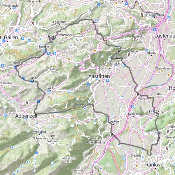
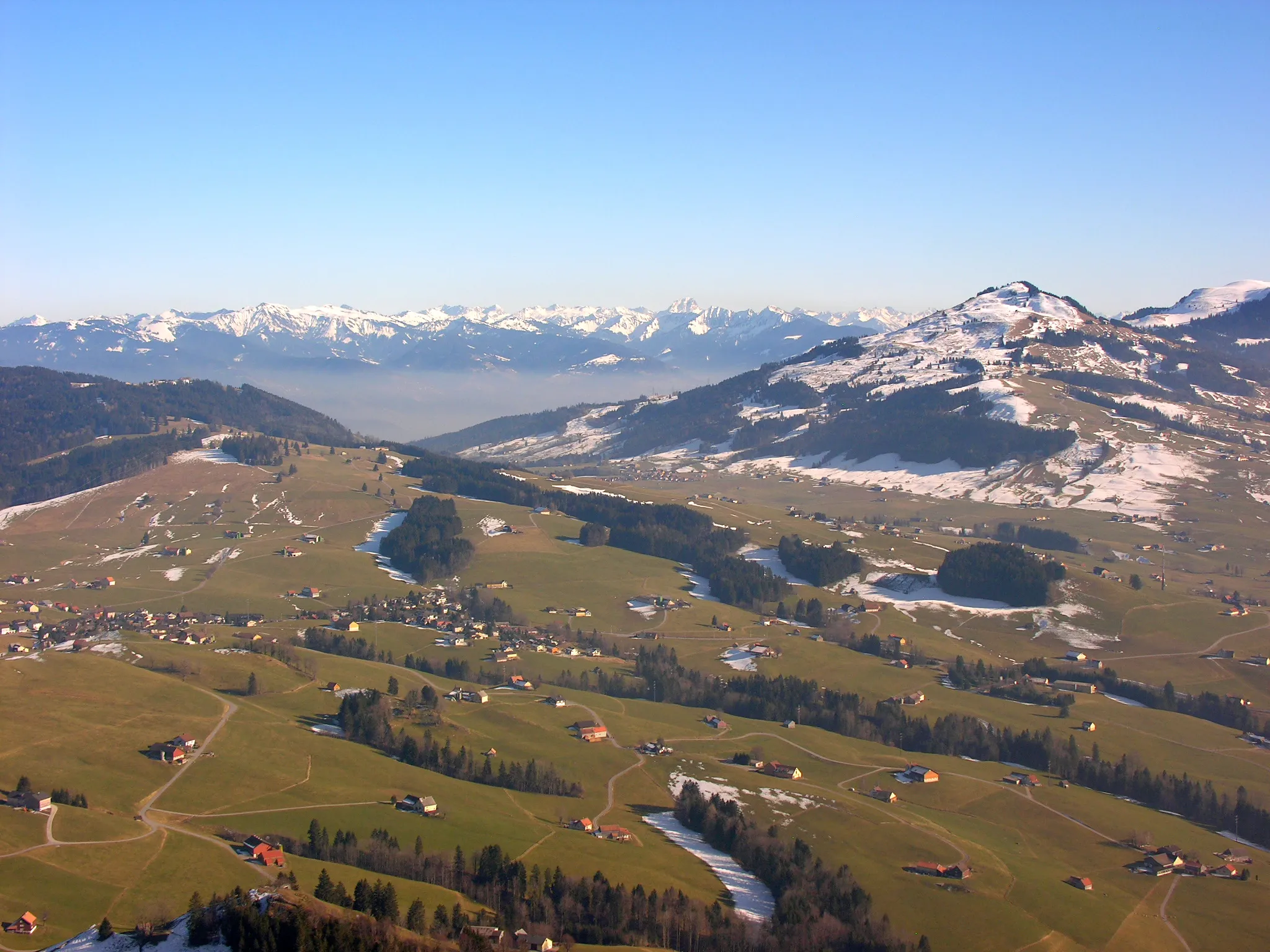
The Blattenberg Loop is a challenging road cycling route starting near Weiler. It takes you through scenic landscapes and offers stunning views of the surrounding mountains. With a total ascent of 1388 meters and a distance of 80 kilometers, this route is suitable for well-trained amateurs. Along the way, you'll pass highlights such as Blattenberg, Eichberg, Meistersrüte, and Fünfländerblick.
road
80 km
1388 m
Tough
Route profile
Highlights on the route
0 km
0 km
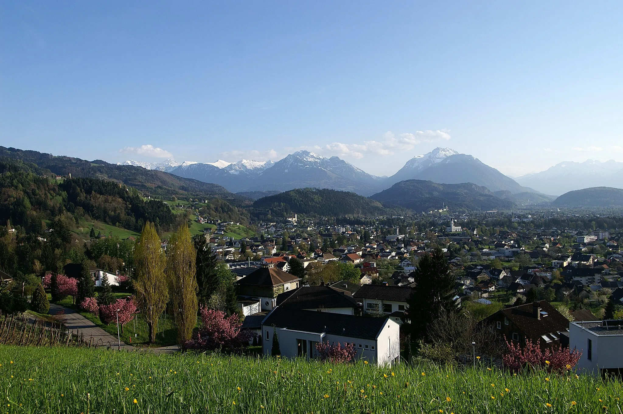
Start: Weiler Village centerWeiler: Conquer iconic climbs in the Bregenz Forest from Weiler.
Weiler is a small locality located in the Vorarlberg region of Austria. From a cyclist's perspective, Weiler offers a mix of road cycling and gravel biking opportunities. The region's rolling hills and picturesque landscapes provide a scenic backdrop for cycling adventures. Weiler is also known for its proximity to the Bregenz Forest, which boasts well-known climbs such as the Hochtannberg Pass and the Arlberg Pass. Cyclists visiting Weiler can expect challenging rides and stunning views throughout their journey.10 km
10 km
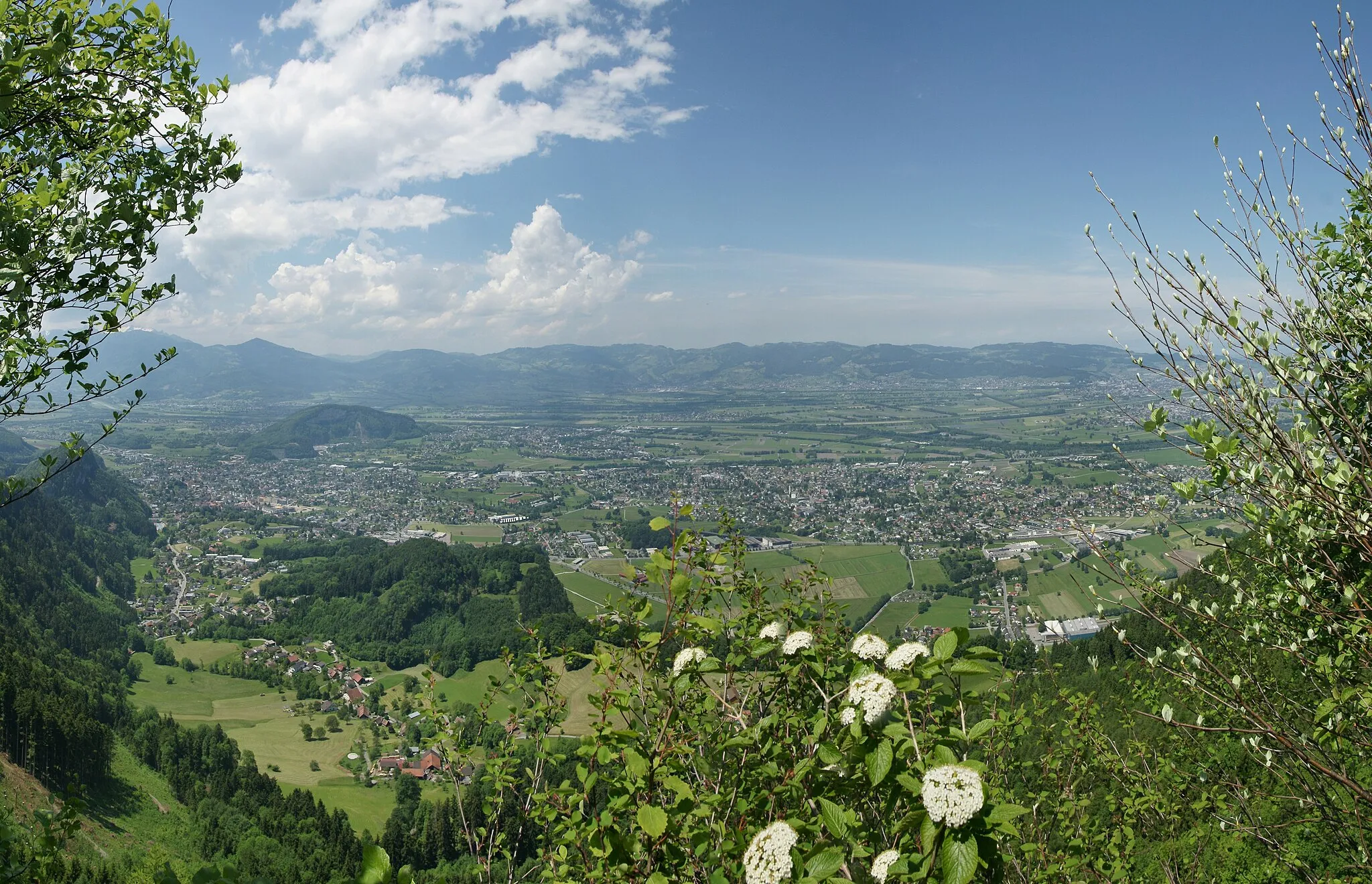
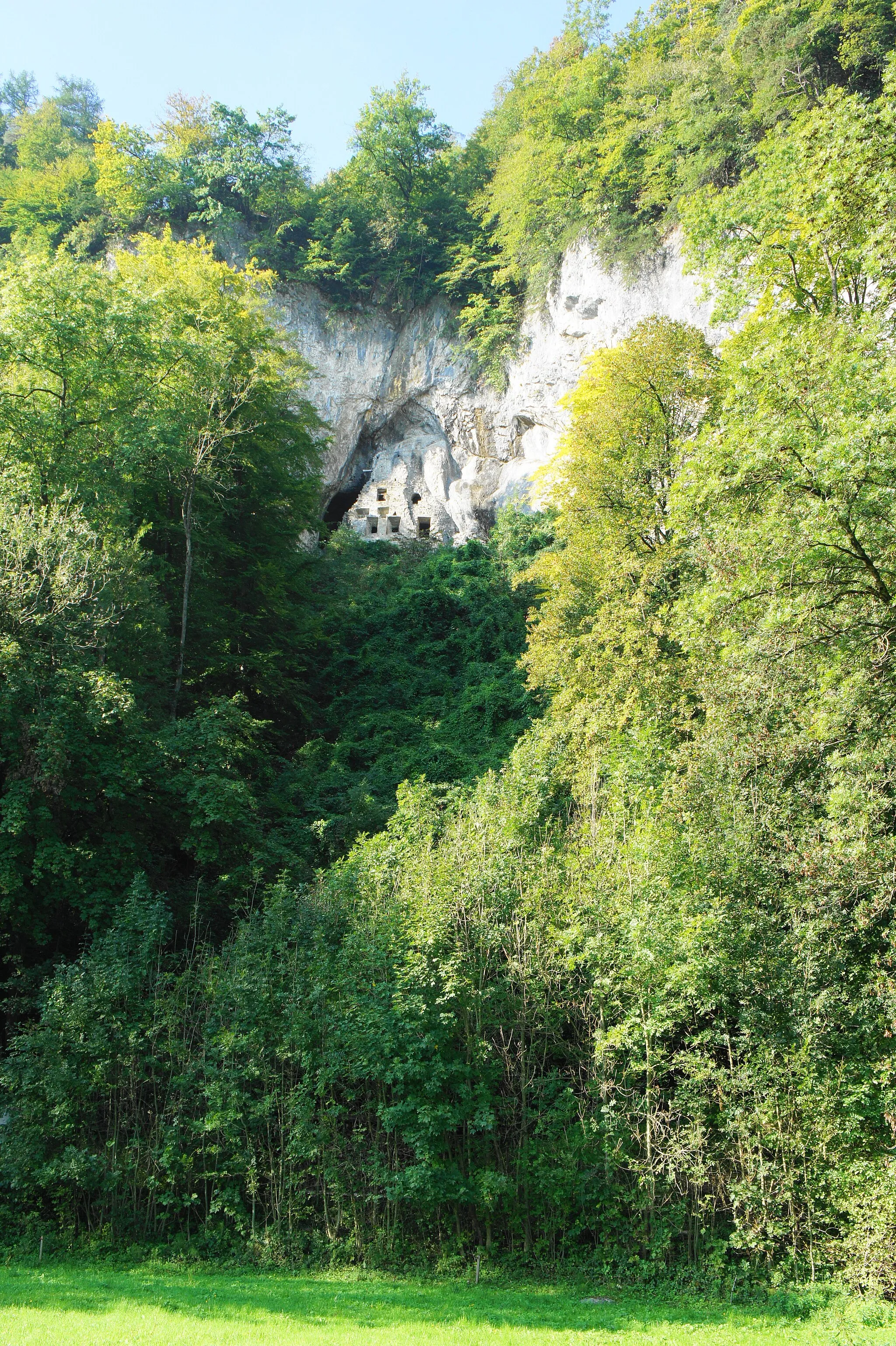
Blattenberg549 mPeakBlattenberg offers a panoramic view of the Rhine Valley.
17 km
17 km
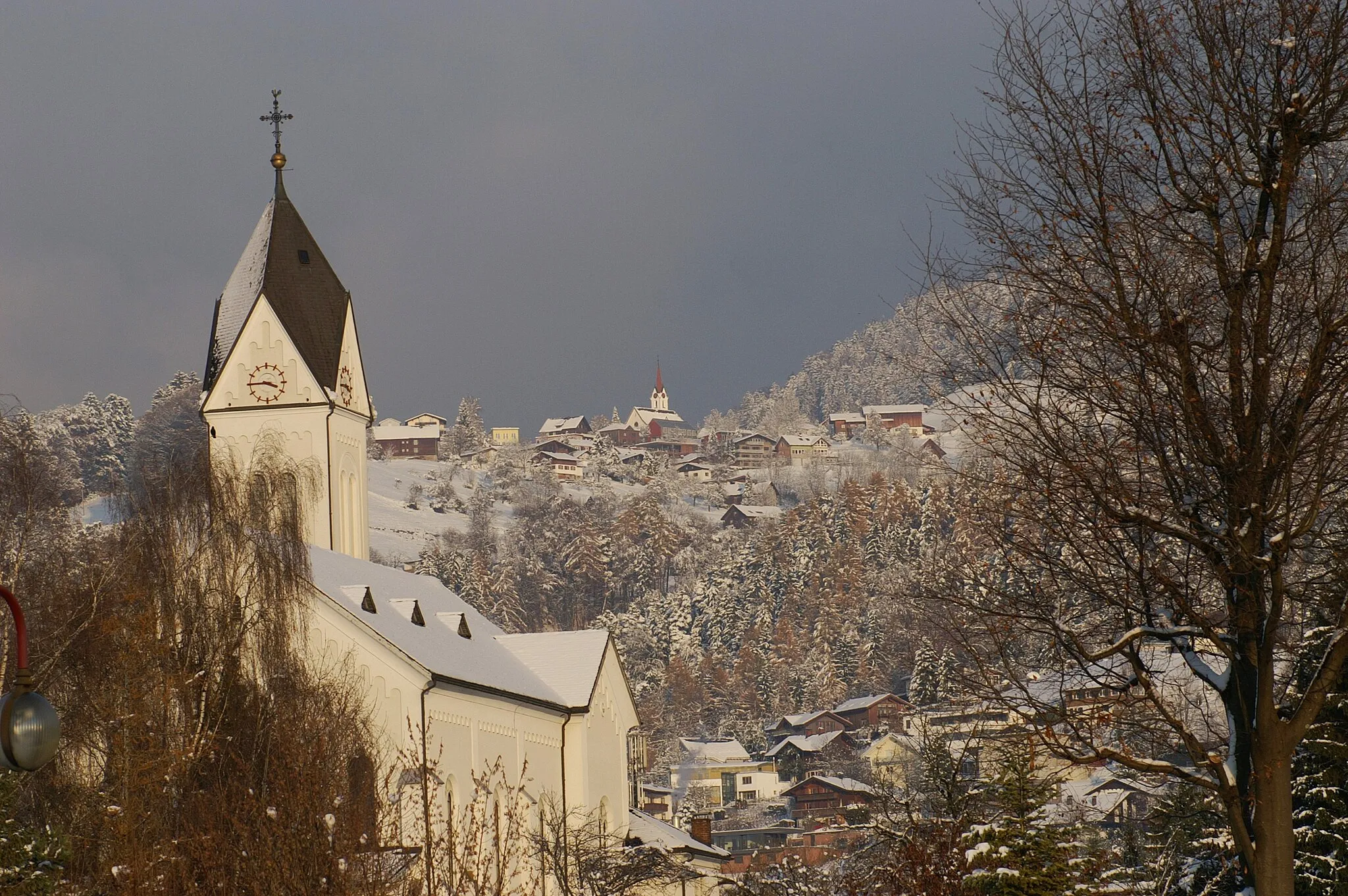
EichbergVillageEichberg is known for its beautiful vineyards and traditional architecture.
27 km
27 km
MeistersrüteVillageMeistersrüte is a popular hiking spot with breathtaking views.
38 km
38 km
Waldegg986 mMountain PassWaldegg is a small village surrounded by lush green meadows.
51 km
51 km
FünfländerblickViewpointFünfländerblick is a lookout point where you can see five different countries.
62 km
62 km
MohrenHamletMohren is a charming Alpine village with traditional wooden houses.
77 km
77 km
Therenberg565 mPeakTherenberg is a historical castle with a museum showcasing local culture.
77 km
77 km
Sankt ArbogastHamletSankt Arbogast is a monastery known for its peaceful surroundings.
80 km
80 km
Finish: Weiler Village centerWeiler: Conquer iconic climbs in the Bregenz Forest from Weiler.
Cycling routes nearby: