Špičák Challenge
A road cycling route starting from Zelezna Ruda
Conquer the Špičák mountain challenge on this epic road cycling route
Map
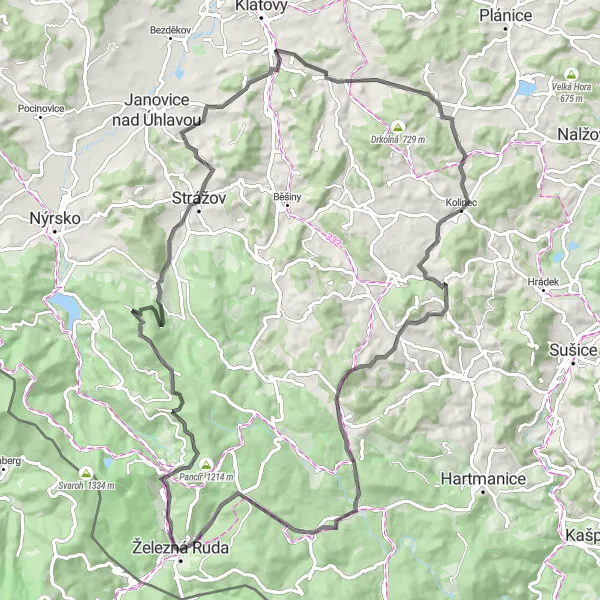
The Špičák Challenge route is perfect for those who love a tough climb. With a total ascent of 1,683 meters and a distance of 90 kilometers, this road cycling route offers a challenging and thrilling experience for cyclists. The highlight of the route is the Špičák mountain, where riders can conquer a difficult ascent and enjoy breathtaking views from the top. Other highlights along the way include the scenic Špičácké sedlo, the charming village of Prenet, and the picturesque village of Zámyšl. Overall, this route is a must-try for experienced cyclists looking for a challenging ride and stunning scenery.
road
90 km
1683 m
Savage
Route profile
Highlights on the route
0 km
0 km
Start: Železná Ruda City centerŽelezná Ruda: Cycling Paradise in Železna Ruda
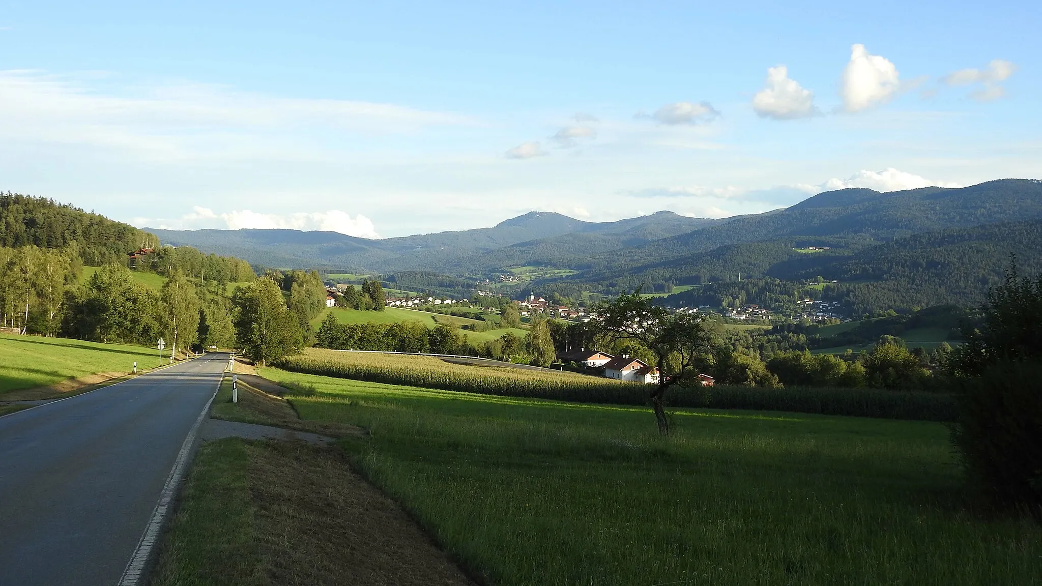
Železna Ruda, located in the Jihozápad region of the Czech Republic, is a fantastic locality for road and gravel cyclists. The town is surrounded by breathtaking landscapes, with rolling hills and picturesque views stretching as far as the eye can see. There are several well-known cycling climbs in the area, such as Pancíř and Großer Arber, which attract cycling enthusiasts from all over. Additionally, Železna Ruda offers a variety of cycling routes, including the Black Forest Trail and the Greenway, which cater to all skill levels. Overall, Železna Ruda is a must-visit locality for cyclists, with its stunning scenery and legendary climbs.2 km
2 km
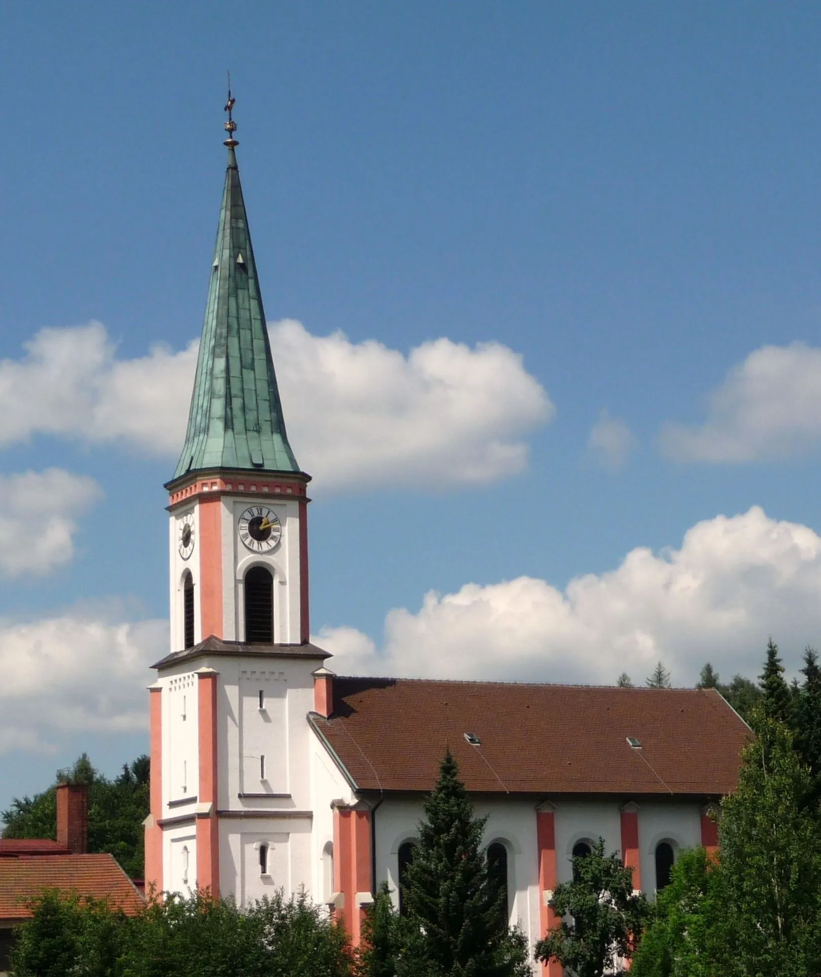
Špičák1202 mVillageLocated at the base of the Špičák mountain, Špičák village offers stunning views and a charming atmosphere.
4 km
4 km
Špičácké sedlo975 mMountain PassŠpičácké sedlo is a mountain pass known for its scenic beauty and is a favorite among cyclists.
14 km
14 km
Prenet1071 mPeakPrenet is a peaceful village with beautiful views and offers a relaxing atmosphere for riders to enjoy.
29 km
29 km
LehomHamletLehom is a charming village with traditional Czech architecture and offers a calm and picturesque environment.
50 km
50 km
ČíhaňVillageČíhaň is a village nestled in the beautiful landscape of the National Park and is a favorite among nature lovers.
69 km
69 km
ZámyšlVillageZámyšl is a picturesque village with old houses and historical sites that cyclists can explore during the ride.
72 km
72 km
Svinenský vrch970 mPeakSvinenský vrch offers stunning panoramic views and is a great spot for riders to take a break and admire the scenery.
86 km
86 km
Tok1023 mPeakTok is a small village with a peaceful atmosphere and offers a great spot to rest and take in the beautiful surroundings.
90 km
90 km
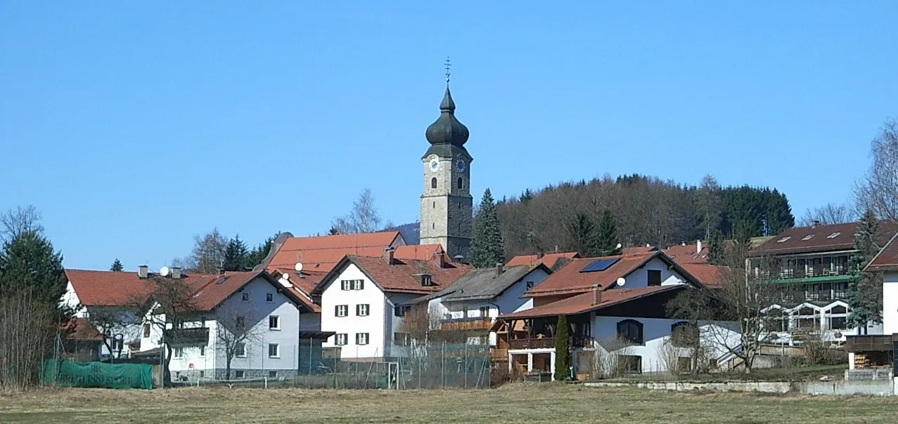
Železná RudaTownŽelezná Ruda is the starting and ending point of the route and offers various amenities for cyclists, including cafes and bike shops.
90 km
90 km
Finish: Železná Ruda City centerŽelezná Ruda: Cycling Paradise in Železna Ruda
Cycling routes from Zelezna Ruda:
Road to Lam via Viechtach and Bodenmais Gravel Adventure to Bodenmais and Hahnenriegel Gravel Adventure Road to Špičácké sedlo via Bayerisch Eisenstein Forest Gravel Loop Gravel Adventure to Frauenau and Regen Gravel Adventure to Unterzwieselau and Hochberg Špičák Challenge Špičák Loop Bavarian Adventure The Zwiesel Bike Loop Gravel Adventure in Šumava
Cycling routes nearby: