Cycle through Nature in Drachselsried
Cycling routes from Drachselsried
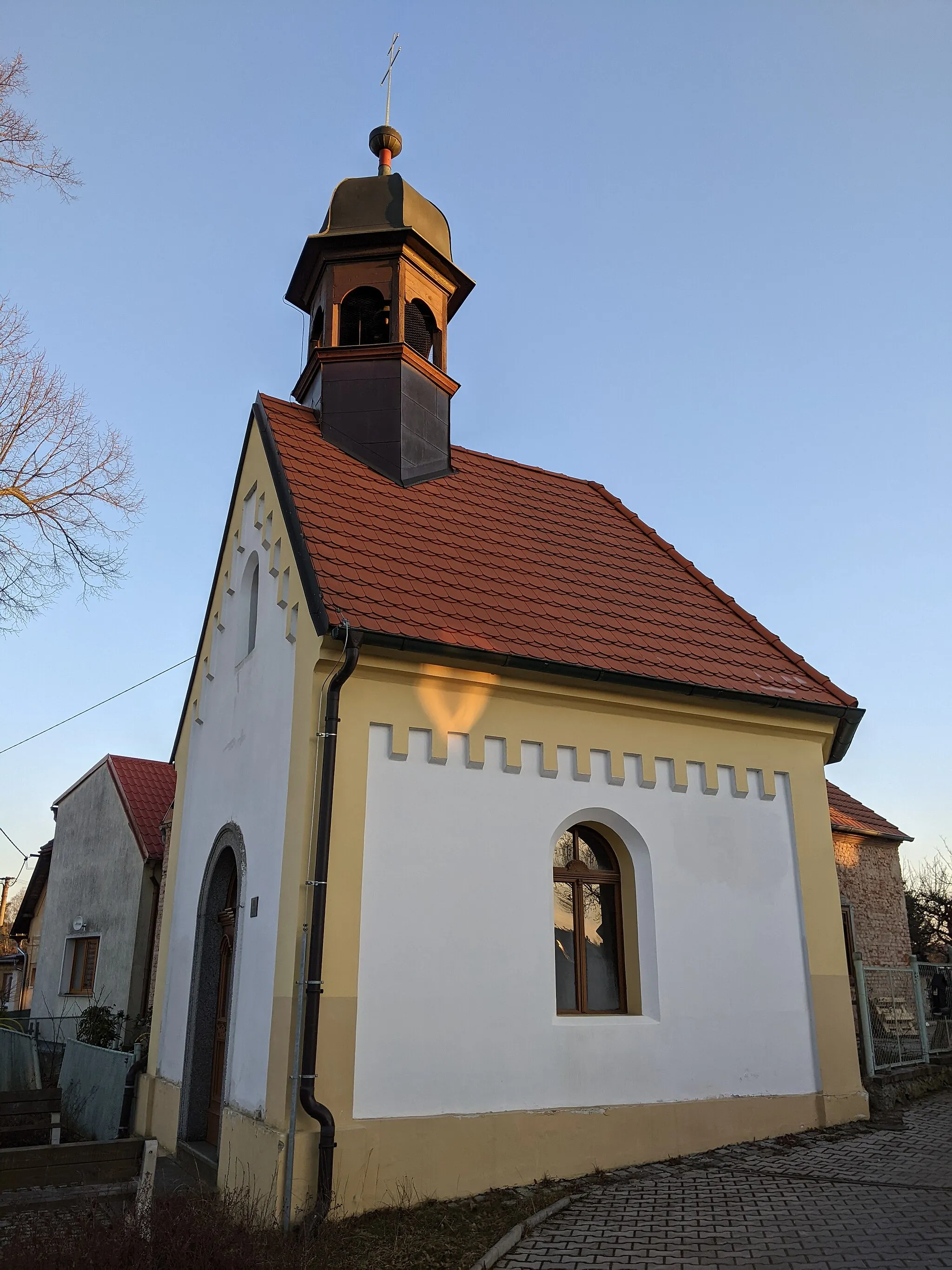
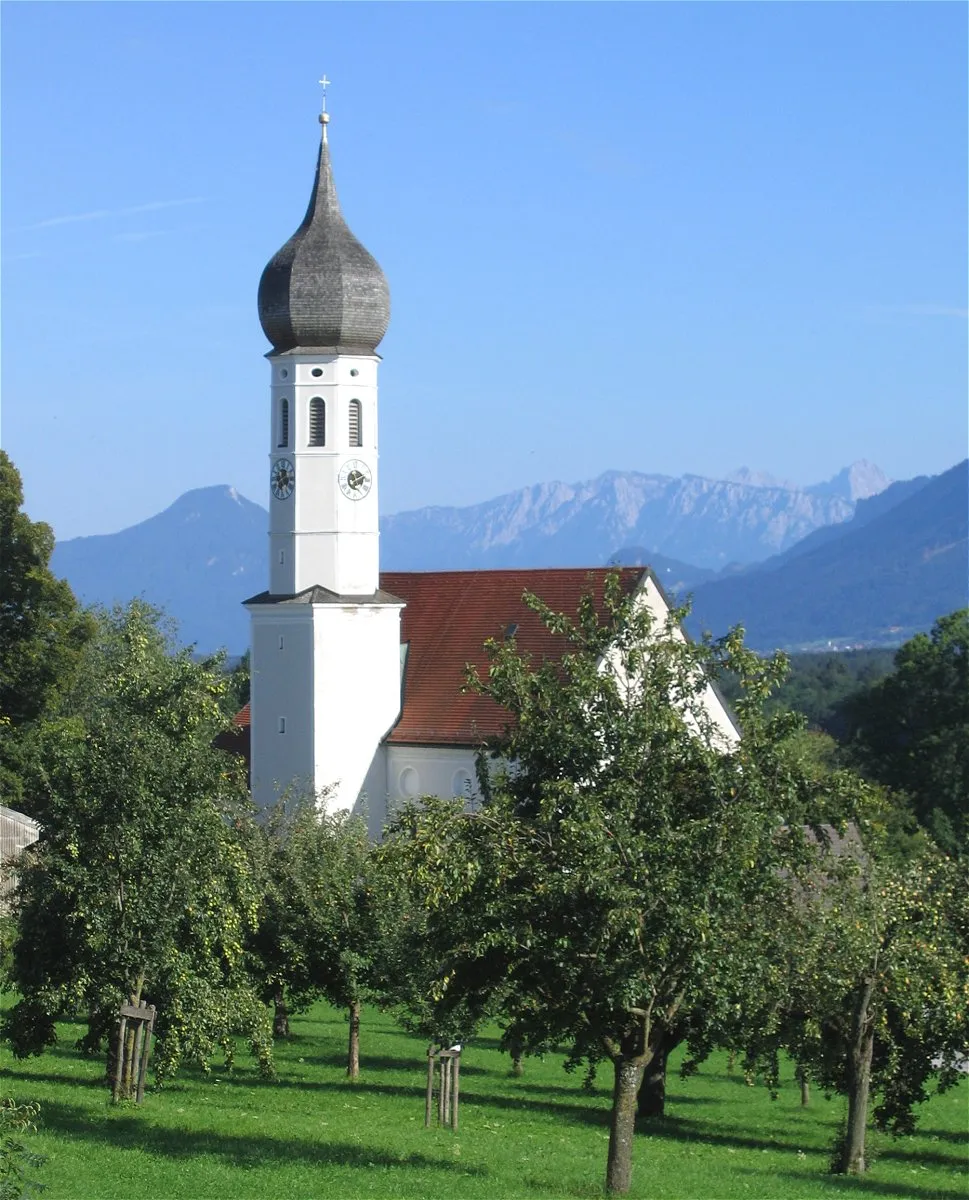
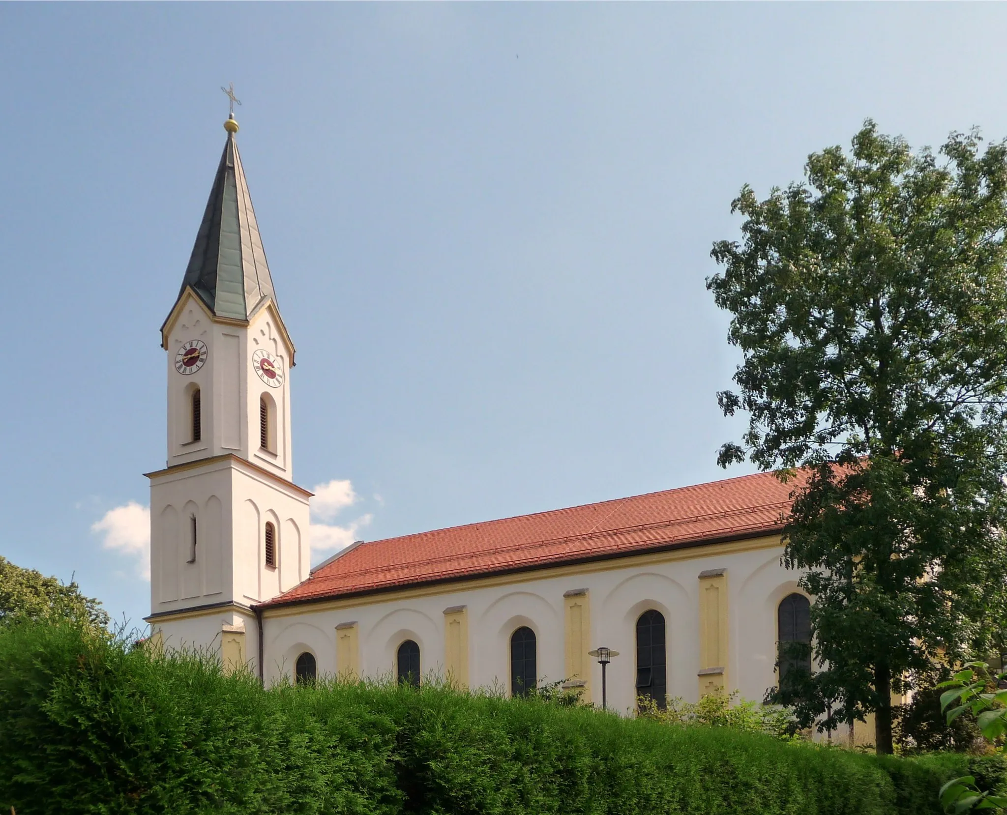
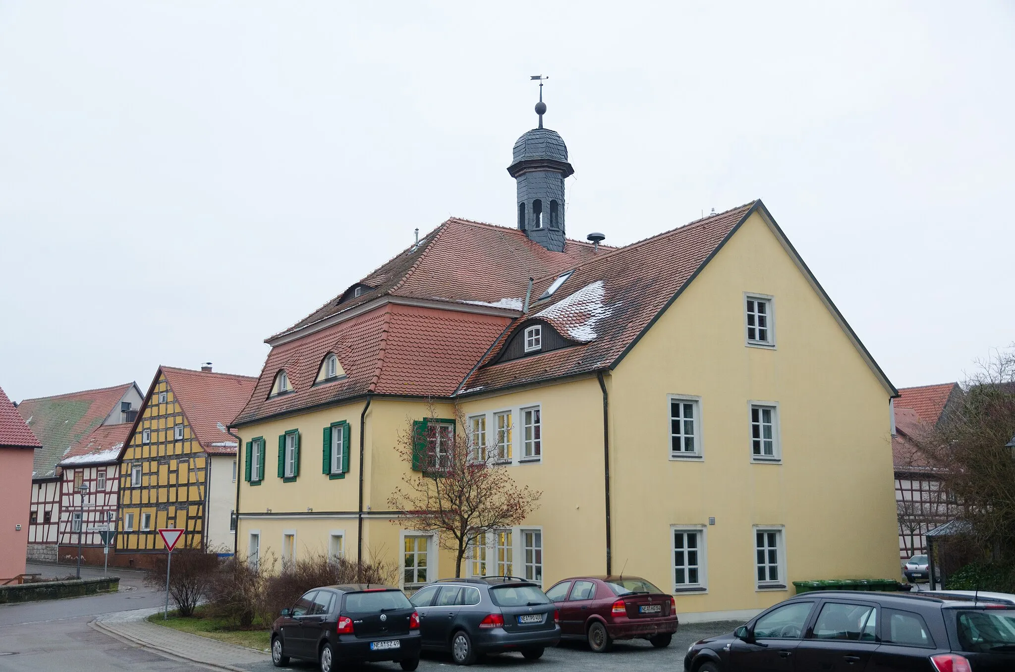
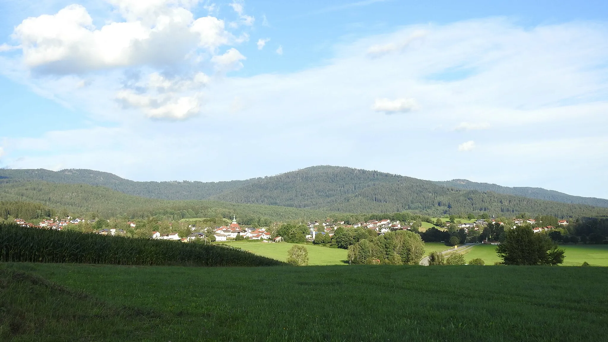
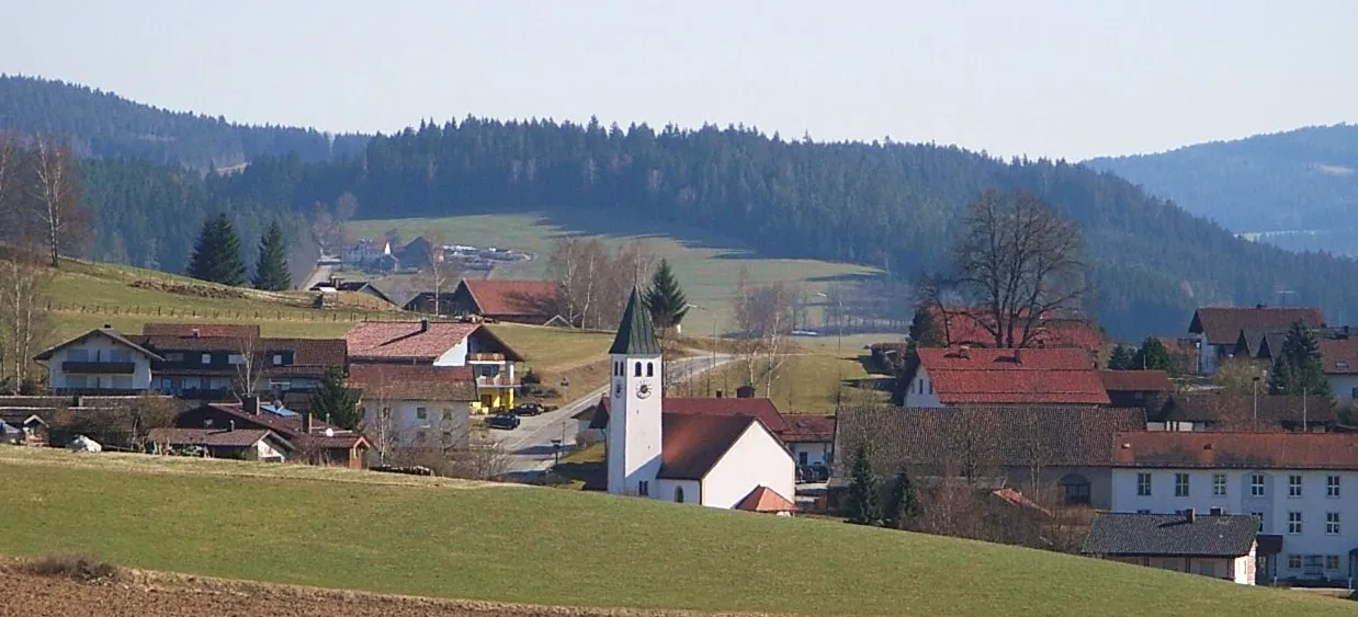
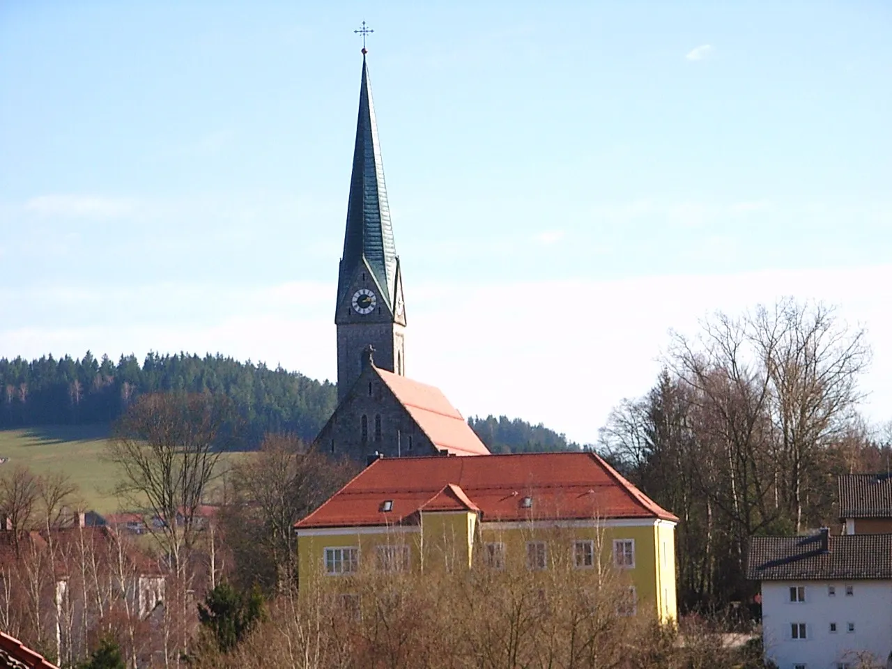
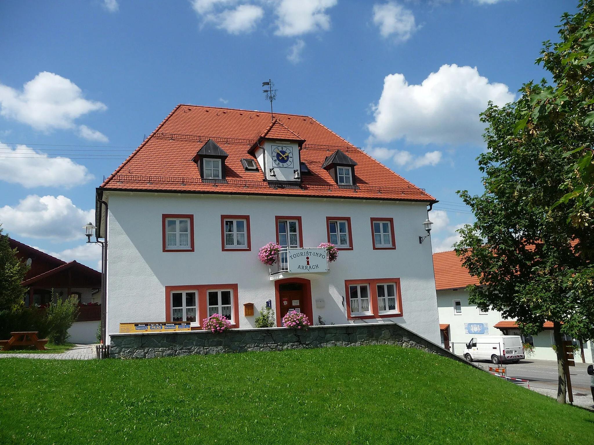
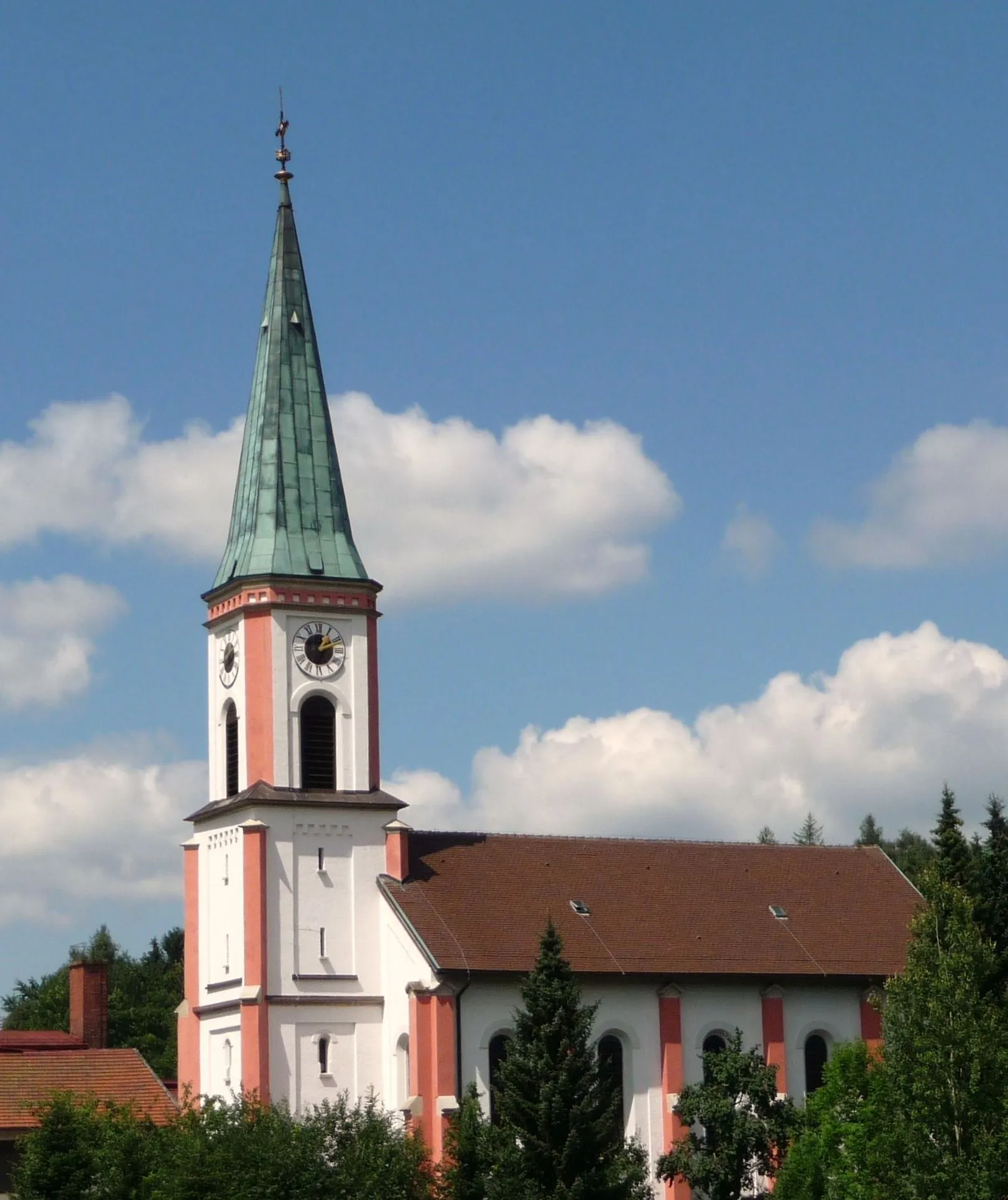
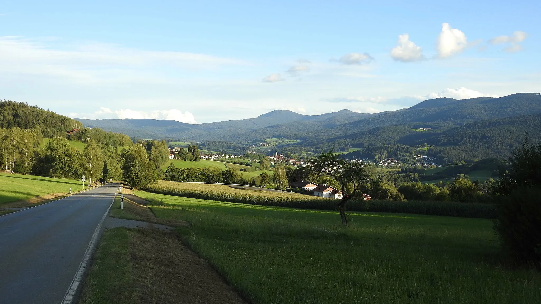
Drachselsried, located in Niederbayern, Germany, is a hidden gem for road and gravel cyclists. The town is surrounded by beautiful landscapes, including forested areas and rolling hills, providing a perfect combination of challenging rides and scenic routes. One notable cycling spot nearby is the Bavarian Forest cycling route, which offers breathtaking views of the region's stunning landscapes. Drachselsried also hosts several cycling events throughout the year, attracting cyclists from all over. With its tranquil atmosphere and diverse cycling options, Drachselsried is a must-visit destination for cyclists looking to explore Niederbayern.

Escape the beaten path and explore rural Niederbayern on this gravel cycling route featuring ancient ruins and scenic views.
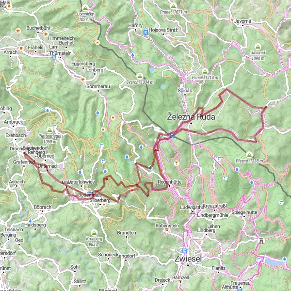
If you're looking for an off-road adventure in Niederbayern, this 76-kilometer gravel cycling route starting near Drachselsried is perfect for you. With a total ascent of 1,945 meters, the route takes you through rugged terrains and hidden gems. Highlights of this route include the historic Burgruine Altnußberg, the stunning Käsplatte viewpoint, and the charming Elisabethszell. With a difficulty rating of 3, this route offers a rewarding challenge without being overly demanding. The route's epicness score is 3, as it unveils the lesser-known beauty of rural Niederbayern.
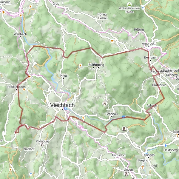
Cycle through Unterried and Hahnenriegel on this scenic gravel route
This gravel route takes you through beautiful landscapes and picturesque villages. With a total ascent of 2,254 meters and a distance of 85 kilometers, it offers a challenging yet rewarding ride. The route passes through the charming village of Unterried, known for its traditional Bavarian architecture. Another highlight is Hahnenriegel, a hill known for its panoramic views of the surrounding countryside.
Experience the panoramic beauty of Arnbruck and Arberblick on this road cycling route
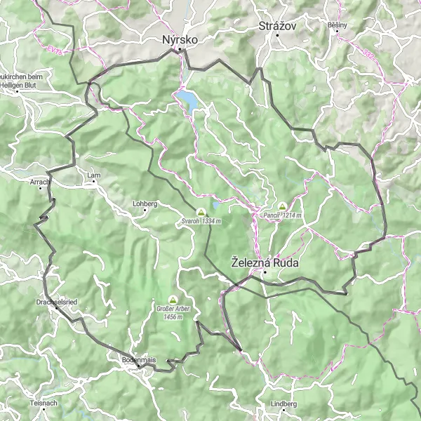
This road route takes you on a journey through the stunning landscapes of Arnbruck and Arberblick. With an ascent of 2,604 meters and a distance of 111 kilometers, it is a challenging route for experienced cyclists. Explore the picturesque town of Arnbruck, known for its traditional Bavarian architecture and rich history. Take in the breathtaking views from Kameňák, a hill offering panoramic vistas. Another highlight is Nýrsko, a town with impressive medieval fortifications.

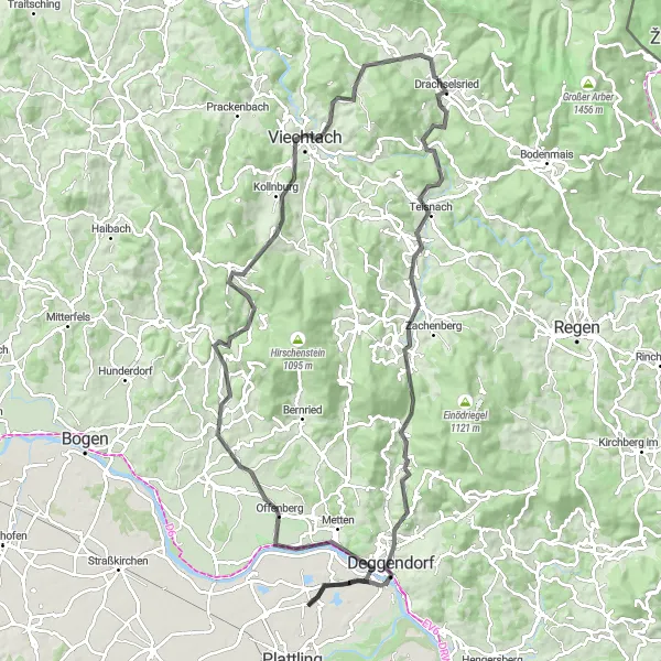
Hit the road and explore the diverse landscapes and charming towns of Niederbayern on this epic road cycling route.
This road cycling route starting near Drachselsried covers a distance of 97km with a challenging ascent of 2034m. From rolling hills to long climbs, this route is designed to test the endurance and stamina of experienced road cyclists. Explore enchanting villages, admire stunning viewpoints, and immerse yourself in the natural beauty of Niederbayern. Highlights include Ochsenberg, Patersdorf, Achslach, Kalteck, Bernried, Höhenberg, Klinglbach, Käsplatte, Prackenbach, Pluto, and Arnbruck. Each highlight offers its own unique experience, whether it's panoramic views, historical sites, or traditional Bavarian culture. Get ready for an unforgettable road adventure through the heart of Niederbayern.

Experience the scenic beauty of Viechtach and Blaibach on this road cycling route
This road loop offers a picturesque ride through the stunning landscapes and charming towns of Viechtach and Blaibach. With a total ascent of 895 meters and a distance of 48 kilometers, it is a moderately challenging route suitable for intermediate cyclists. Take in the breathtaking views of the surrounding countryside as you ride along the well-maintained roads. Make sure to explore the historic town of Blaibach, known for its impressive castle and beautiful architecture.
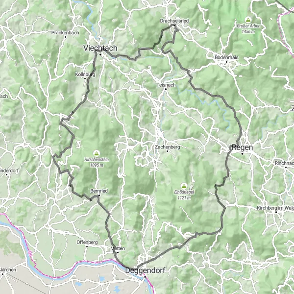
Embark on a road cycling adventure through Drachselsried and Grafling
This road biking adventure takes you through the picturesque landscapes of Drachselsried and Grafling. With a challenging ascent of 1,656 meters and a distance of 108 kilometers, it is a route suitable for experienced cyclists. Start your journey in Drachselsried, a village known for its traditional Bavarian charm. Marvel at the breathtaking views from Ochsenberg, a hill situated along the route. Another highlight is the town of Metten, famous for its impressive Metten Abbey.
Gravel Paradise

Embark on an epic gravel journey through Niederbayern's pristine landscapes and hidden gems.
This gravel cycling route starting near Drachselsried covers a distance of 62km with a challenging ascent of 1573m. Prepare to be captivated by the untamed wilderness, idyllic villages, and historical sites along the way. The route features highlights such as Unterried, Kronberg, Mühlberg, Bischofsmais, Bumsenberg, and Patersdorf, each offering a unique experience. From gravel paths through dense forests to panoramic hilltop views, this route promises an unforgettable adventure for experienced gravel cyclists. Don't miss the opportunity to immerse yourself in the serene beauty of Niederbayern.
Discover the beauty of Ochsenberg and Blossersberg on this road cycling route
This road ride takes you through the picturesque landscapes of Ochsenberg and Blossersberg. With an ascent of 1,228 meters and a distance of 58 kilometers, it is a moderately challenging route suitable for intermediate cyclists. Ride through the scenic countryside and enjoy the tranquility of the surrounding nature. Take a break in Teisnach, a village famous for its historic buildings and cultural heritage.
Embark on a road cycling adventure through the diverse landscapes of Niederbayern on this challenging route.
This road cycling route promises a thrilling journey through the captivating landscapes of Niederbayern. With a total distance of 107 kilometers and an ascent of 2,369 meters, this route is suitable for experienced cyclists looking for a challenging and scenic adventure. Highlights of the route include the charming village of Böbrach, the picturesque Bölmersberg, and the historical town of Deggendorf. The route's difficulty rating is 4, making it ideal for well-trained amateur cyclists seeking a rewarding challenge. The epicness score for this route is 4, as it takes you through breathtaking landscapes and hidden gems.
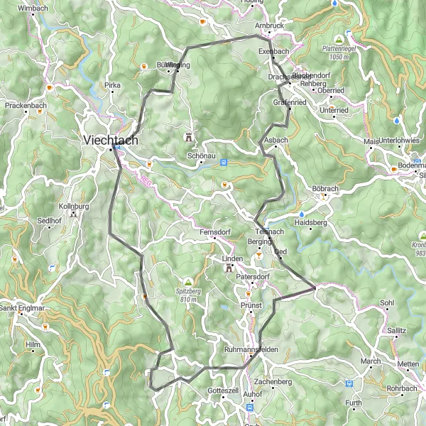
Discover the rugged beauty of Niederbayern on this gravel cycling route.
This gravel route near Drachselsried takes you through stunning natural landscapes, charming villages, and ancient ruins. With a total ascent of 1358m and a distance of 51km, it offers a challenging but rewarding ride for gravel enthusiasts. Expect scenic views, peaceful forests, and a chance to immerse yourself in nature. The route features several highlights, including the Knogelberg, Burgruine Altnußberg, Hofberg, Prackenbach, and Arnbruck, each offering their own unique charm and attraction. As a highly recommended gravel route, you won't be disappointed with the adventure that awaits you.
Cycling routes nearby:


Nearby regions: