Gravel Adventure: Niederbayern's Hidden Gems
A gravel cycling route starting from Drachselsried
Escape the beaten path and explore rural Niederbayern on this gravel cycling route featuring ancient ruins and scenic views.
Map

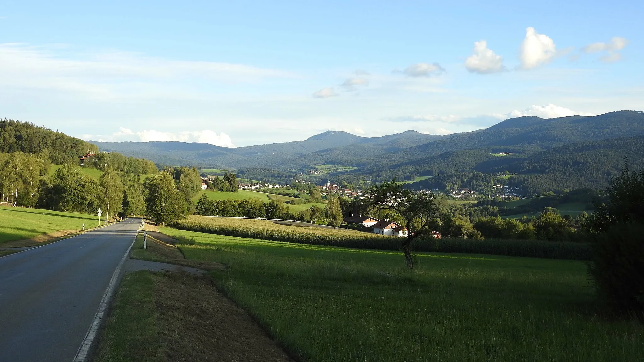
If you're looking for an off-road adventure in Niederbayern, this 76-kilometer gravel cycling route starting near Drachselsried is perfect for you. With a total ascent of 1,945 meters, the route takes you through rugged terrains and hidden gems. Highlights of this route include the historic Burgruine Altnußberg, the stunning Käsplatte viewpoint, and the charming Elisabethszell. With a difficulty rating of 3, this route offers a rewarding challenge without being overly demanding. The route's epicness score is 3, as it unveils the lesser-known beauty of rural Niederbayern.
gravel
76 km
1945 m
Tough
Route profile
Highlights on the route
0 km
0 km
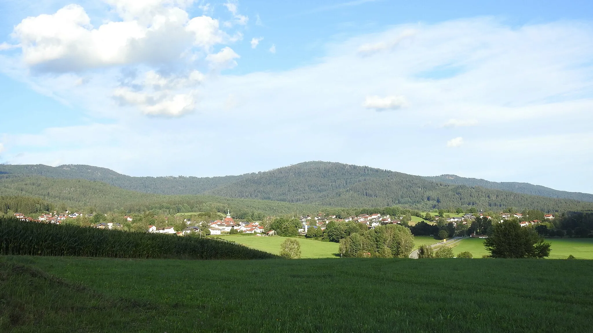
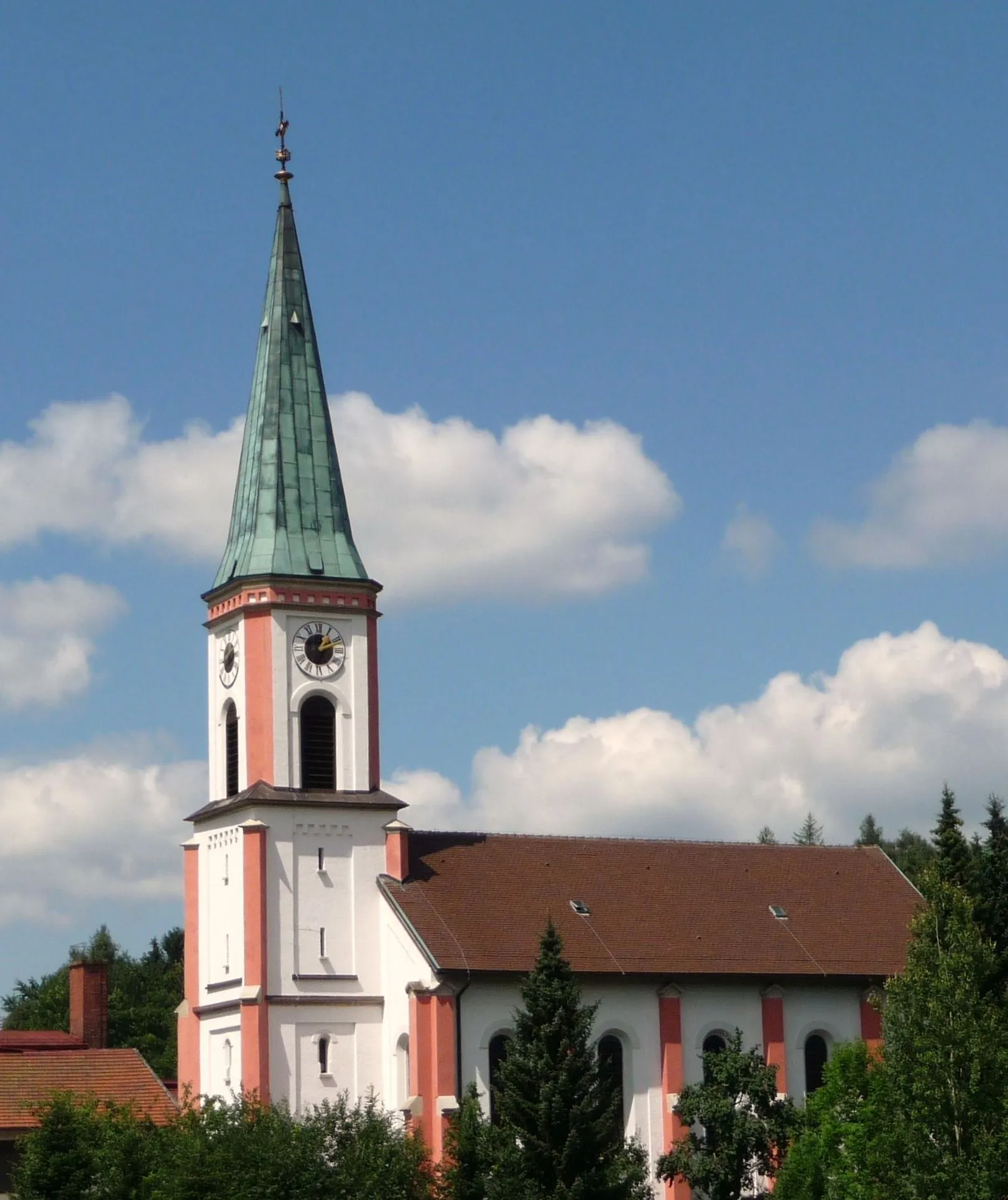
Start: Drachselsried Village centerDrachselsried: Cycle through Nature in Drachselsried
Drachselsried, located in Niederbayern, Germany, is a hidden gem for road and gravel cyclists. The town is surrounded by beautiful landscapes, including forested areas and rolling hills, providing a perfect combination of challenging rides and scenic routes. One notable cycling spot nearby is the Bavarian Forest cycling route, which offers breathtaking views of the region's stunning landscapes. Drachselsried also hosts several cycling events throughout the year, attracting cyclists from all over. With its tranquil atmosphere and diverse cycling options, Drachselsried is a must-visit destination for cyclists looking to explore Niederbayern.8 km
8 km
Knogelberg705 mPeakKnogelberg offers breathtaking views of the picturesque landscapes of Niederbayern, making it a must-stop spot for cyclists.
9 km
9 km
Burgruine AltnußbergCastleBurgruine Altnußberg is an ancient castle ruin that provides a glimpse into the region's rich history and rewards with panoramic views.
26 km
26 km
Käsplatte978 mPeakKäsplatte is a stunning viewpoint that showcases the rugged beauty of rural Niederbayern, surrounded by impressive rock formations.
33 km
33 km
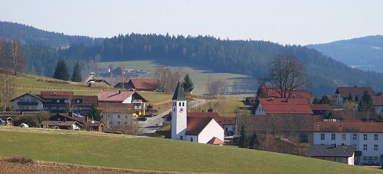
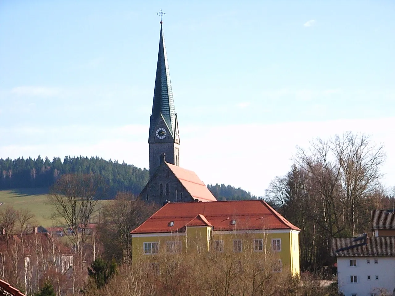
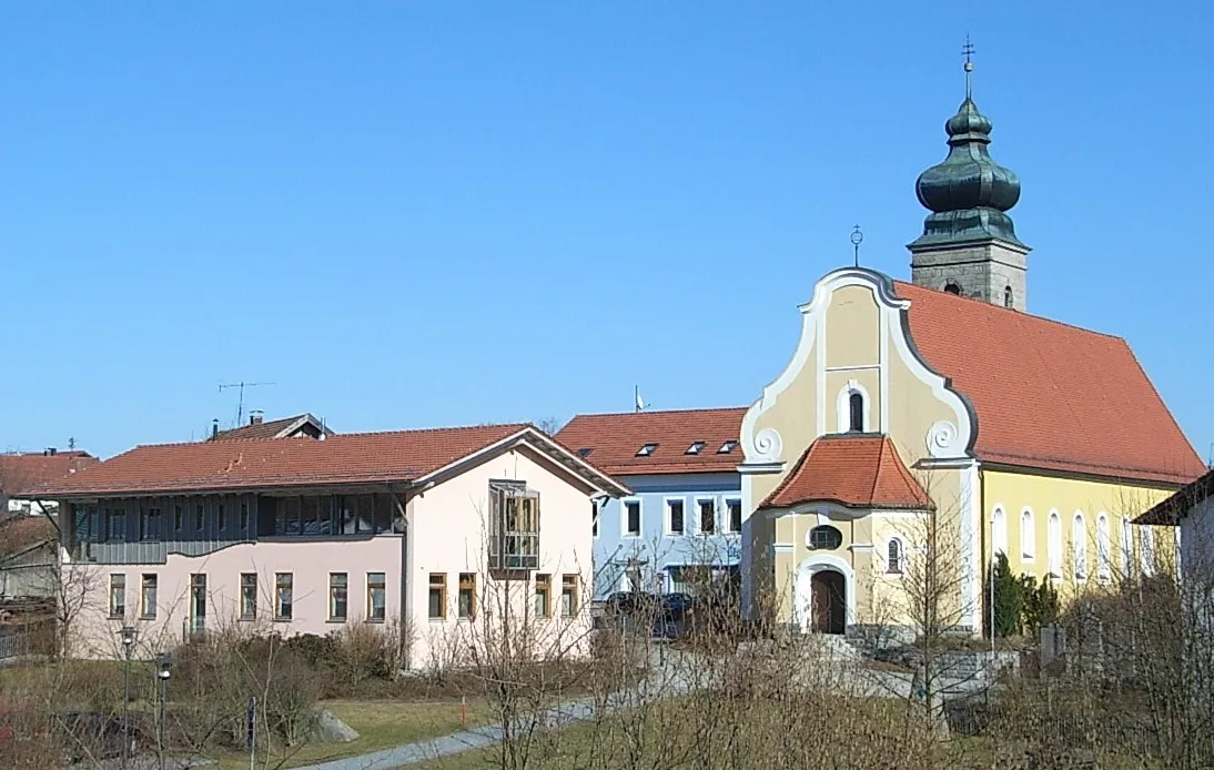
ElisabethszellVillageElisabethszell is a charming Bavarian village with picturesque timber-framed houses and a peaceful atmosphere.
49 km
49 km
Schloss AltrandsbergCastleSchloss Altrandsberg is a stunning castle nestled in the hills, offering panoramic views of the surrounding countryside.
59 km
59 km
Birkenberg457 mPeakBirkenberg is a hidden gem that provides cyclists with breathtaking panoramic views of Niederbayern's scenic landscapes.
73 km
73 km
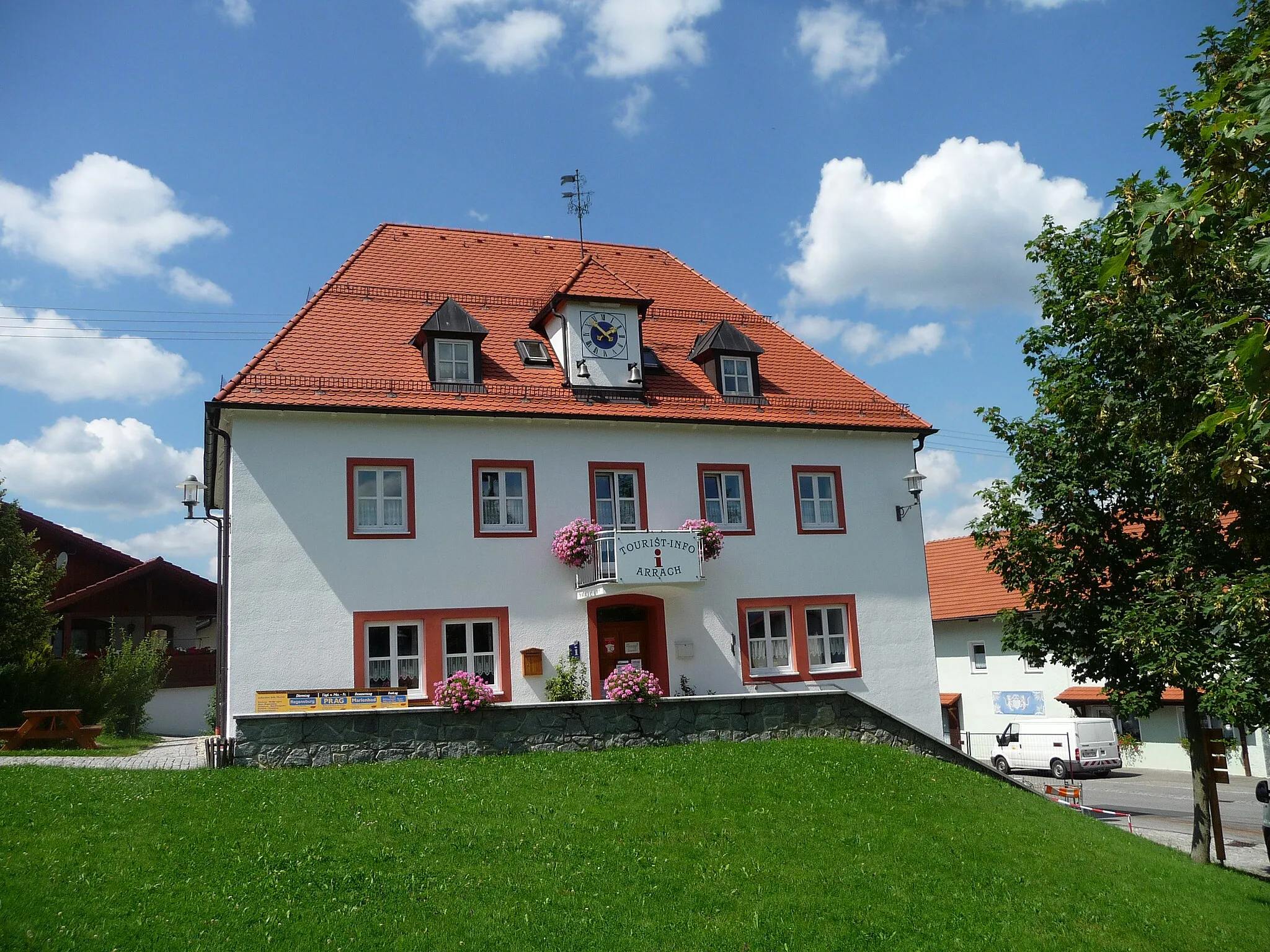
ArnbruckVillageArnbruck is a Bavarian village known for its traditional customs and impressive views of the surrounding countryside.
76 km
76 km
Finish: Drachselsried Village centerDrachselsried: Cycle through Nature in Drachselsried
Cycling routes from Drachselsried:
Drachselsried and Grafling Road Adventure The Gravel Adventure Unterried and Hahnenriegel Gravel Route Arnbruck and Arberblick Panoramic Road Route Ochsenberg and Blossersberg Road Ride The Hidden Gravel Gems Niederbayern Road Adventure Gravel Paradise The Gravel Odyssey Viechtach and Blaibach Road Loop Gravel Adventure: Niederbayern's Hidden Gems Exploring Niederbayern by Road Drachselsried and Beyond
Cycling routes nearby: