Unterried and Hahnenriegel Gravel Route
A gravel cycling route starting from Drachselsried
Cycle through Unterried and Hahnenriegel on this scenic gravel route
Map
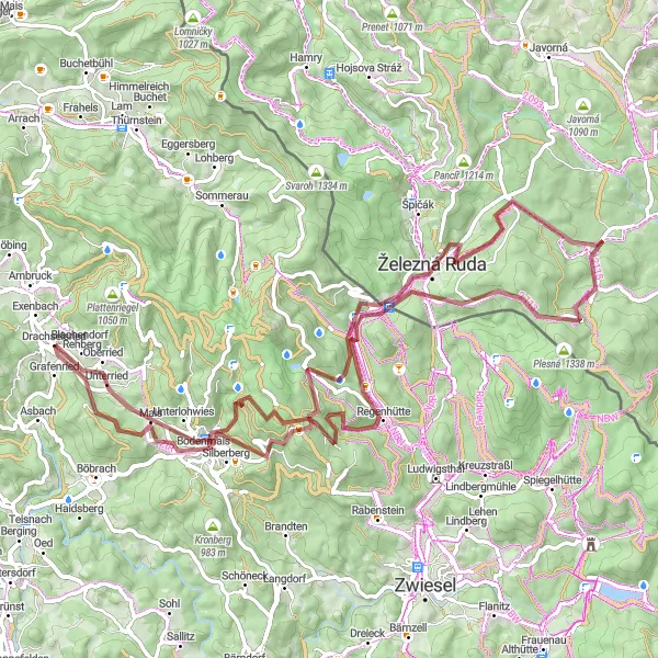
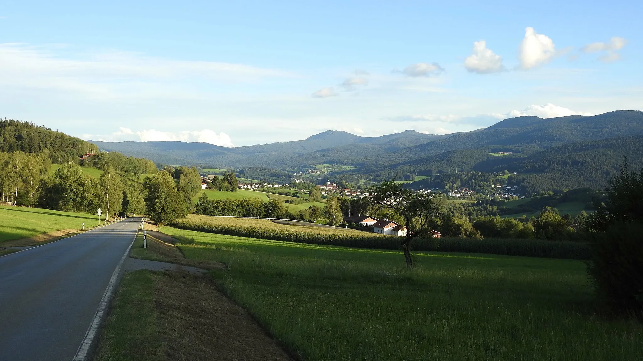
This gravel route takes you through beautiful landscapes and picturesque villages. With a total ascent of 2,254 meters and a distance of 85 kilometers, it offers a challenging yet rewarding ride. The route passes through the charming village of Unterried, known for its traditional Bavarian architecture. Another highlight is Hahnenriegel, a hill known for its panoramic views of the surrounding countryside.
gravel
85 km
2254 m
Tough
Route profile
Highlights on the route
0 km
0 km
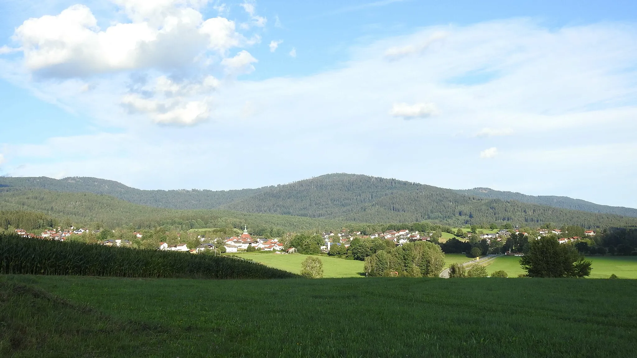
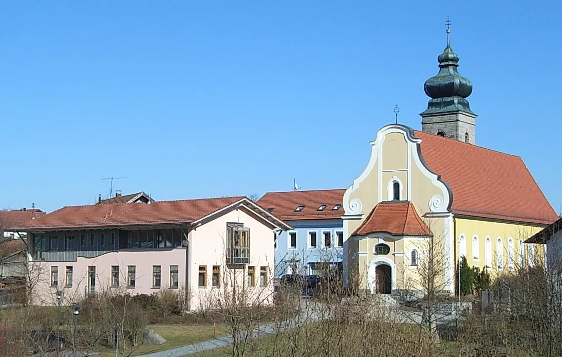
Start: Drachselsried Village centerDrachselsried: Cycle through Nature in Drachselsried
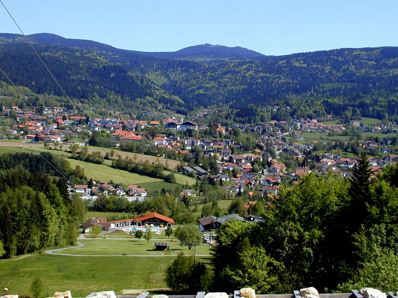
Drachselsried, located in Niederbayern, Germany, is a hidden gem for road and gravel cyclists. The town is surrounded by beautiful landscapes, including forested areas and rolling hills, providing a perfect combination of challenging rides and scenic routes. One notable cycling spot nearby is the Bavarian Forest cycling route, which offers breathtaking views of the region's stunning landscapes. Drachselsried also hosts several cycling events throughout the year, attracting cyclists from all over. With its tranquil atmosphere and diverse cycling options, Drachselsried is a must-visit destination for cyclists looking to explore Niederbayern.3 km
3 km
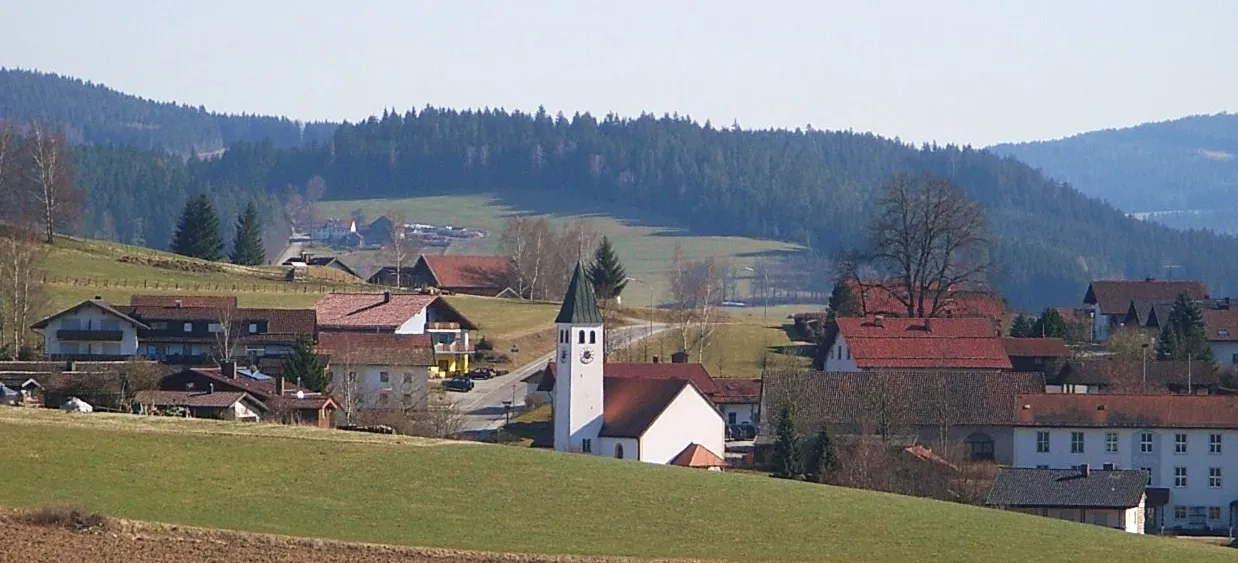
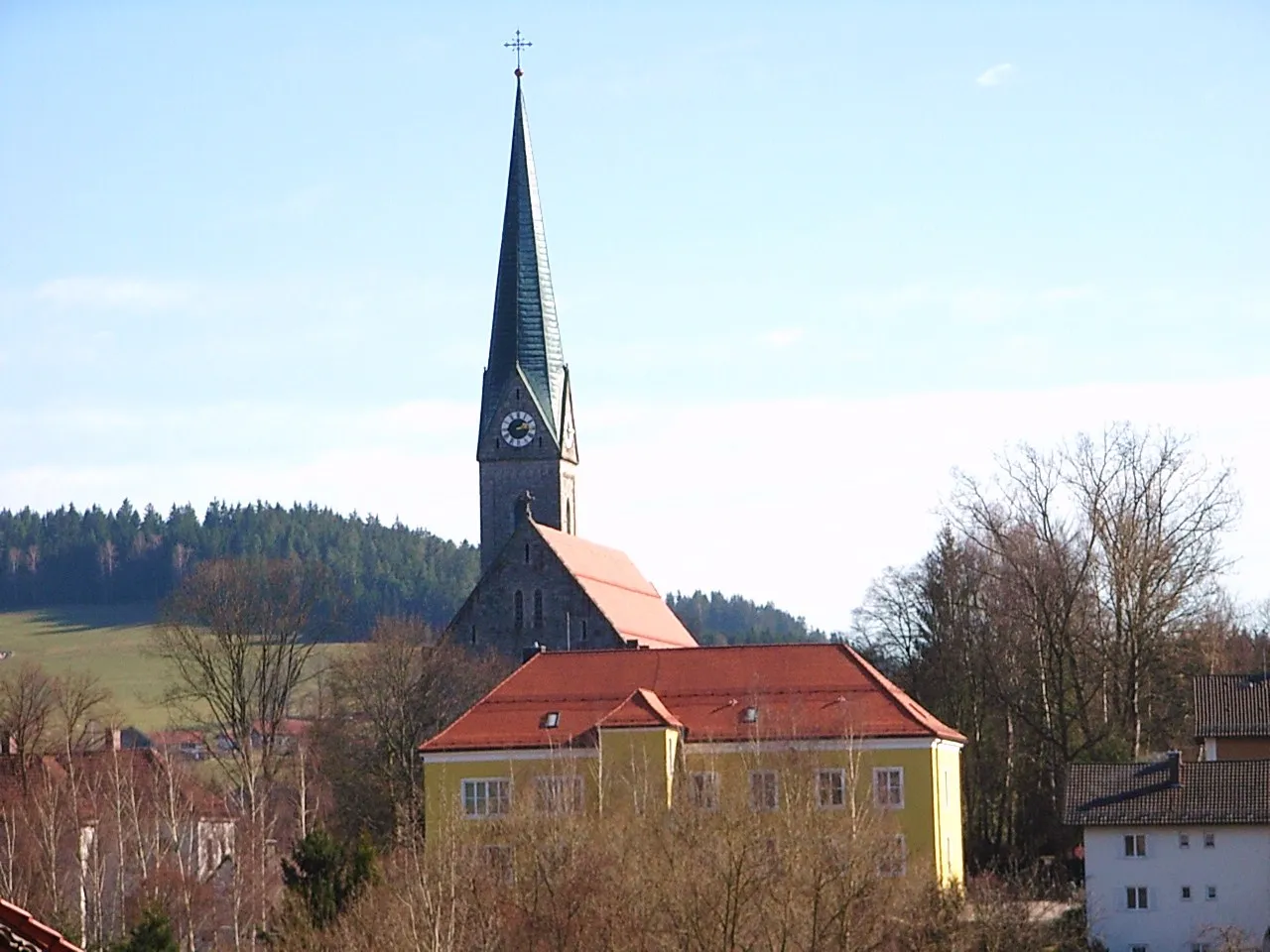
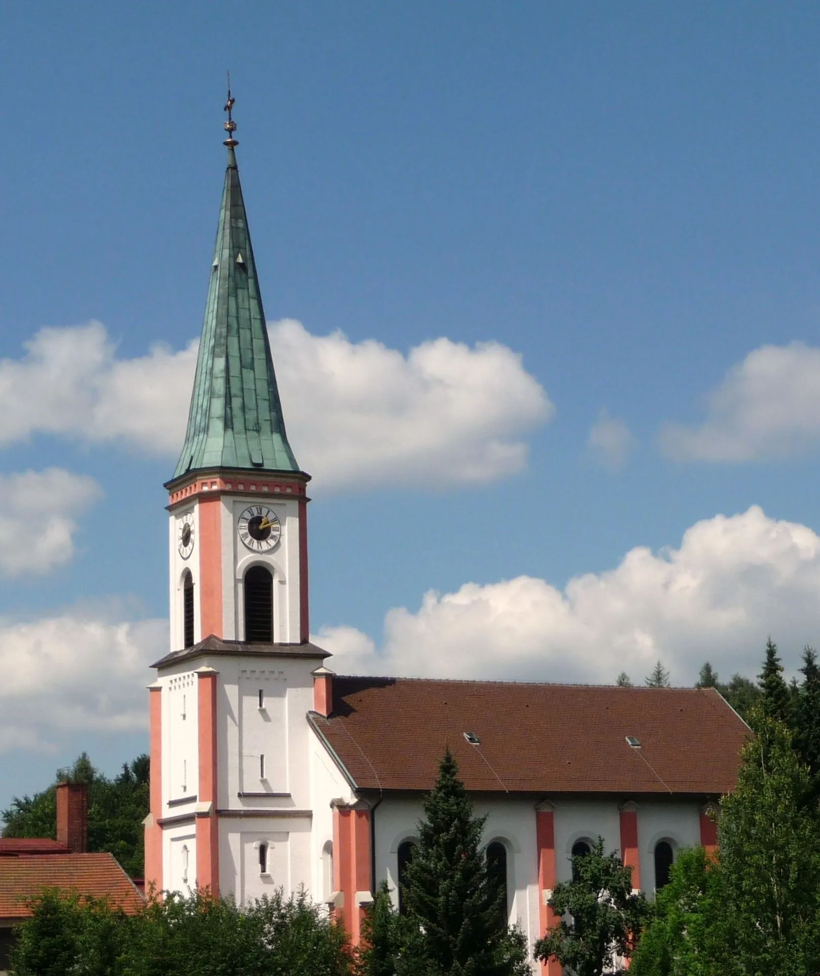
UnterriedVillageUnterried is a charming village with traditional Bavarian architecture. Take a break here and admire the picturesque scenery.
14 km
14 km
Hahnenriegel1108 mPeakHahnenriegel offers breathtaking panoramic views of the surrounding countryside. Don't forget to take a moment to soak in the beauty.
27 km
27 km
Železná RudaTownŽelezná Ruda is a quaint town in the Czech Republic, located on the border with Germany. Explore its rich history and enjoy the unique cultural blend.
34 km
34 km
Tok1023 mPeakTok is a small village known for its beautiful forests and tranquil atmosphere. Take a refreshing break here amidst nature.
41 km
41 km
Hůrecký vrch1099 mPeakHůrecký vrch is a hill offering stunning views of the surrounding landscape. Climb to the top and be rewarded with a breathtaking panorama.
51 km
51 km
DebrníkHamletDebrník is a historic town located in the Czech Republic. Marvel at the well-preserved medieval architecture and immerse yourself in its rich history.
69 km
69 km
Hochzellberg1208 mPeakHochzellberg is a picturesque hill with vineyards. Enjoy a pleasant ride through this scenic area and take in the beautiful views.
75 km
75 km
BodenmaisVillageBodenmais is a charming Bavarian town known for its traditional wooden-architecture buildings. Explore its quaint streets and sample local delicacies.
85 km
85 km
Finish: Drachselsried Village centerDrachselsried: Cycle through Nature in Drachselsried
Cycling routes from Drachselsried:
Drachselsried and Grafling Road Adventure The Gravel Adventure Unterried and Hahnenriegel Gravel Route Arnbruck and Arberblick Panoramic Road Route Ochsenberg and Blossersberg Road Ride The Hidden Gravel Gems Niederbayern Road Adventure Gravel Paradise The Gravel Odyssey Viechtach and Blaibach Road Loop Gravel Adventure: Niederbayern's Hidden Gems Exploring Niederbayern by Road Drachselsried and Beyond
Cycling routes nearby: