The Dub and the Hať
A gravel cycling route starting from Bohuslavice
Explore the beautiful Struhalův dub and Hať on this gravel route
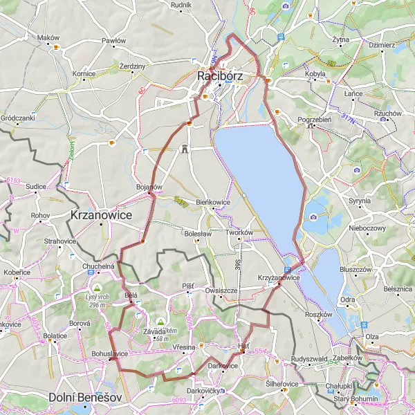
Map
This gravel route will take you through picturesque scenery, where you can admire the famous Struhalův dub, a centuries-old oak tree with a fascinating history. The highlight of the route is the ascent to Hať, offering stunning panoramic views of the surrounding countryside.
gravel
59 km
348 m
Tough
Route profile
Highlights on the route
0 km
0 km
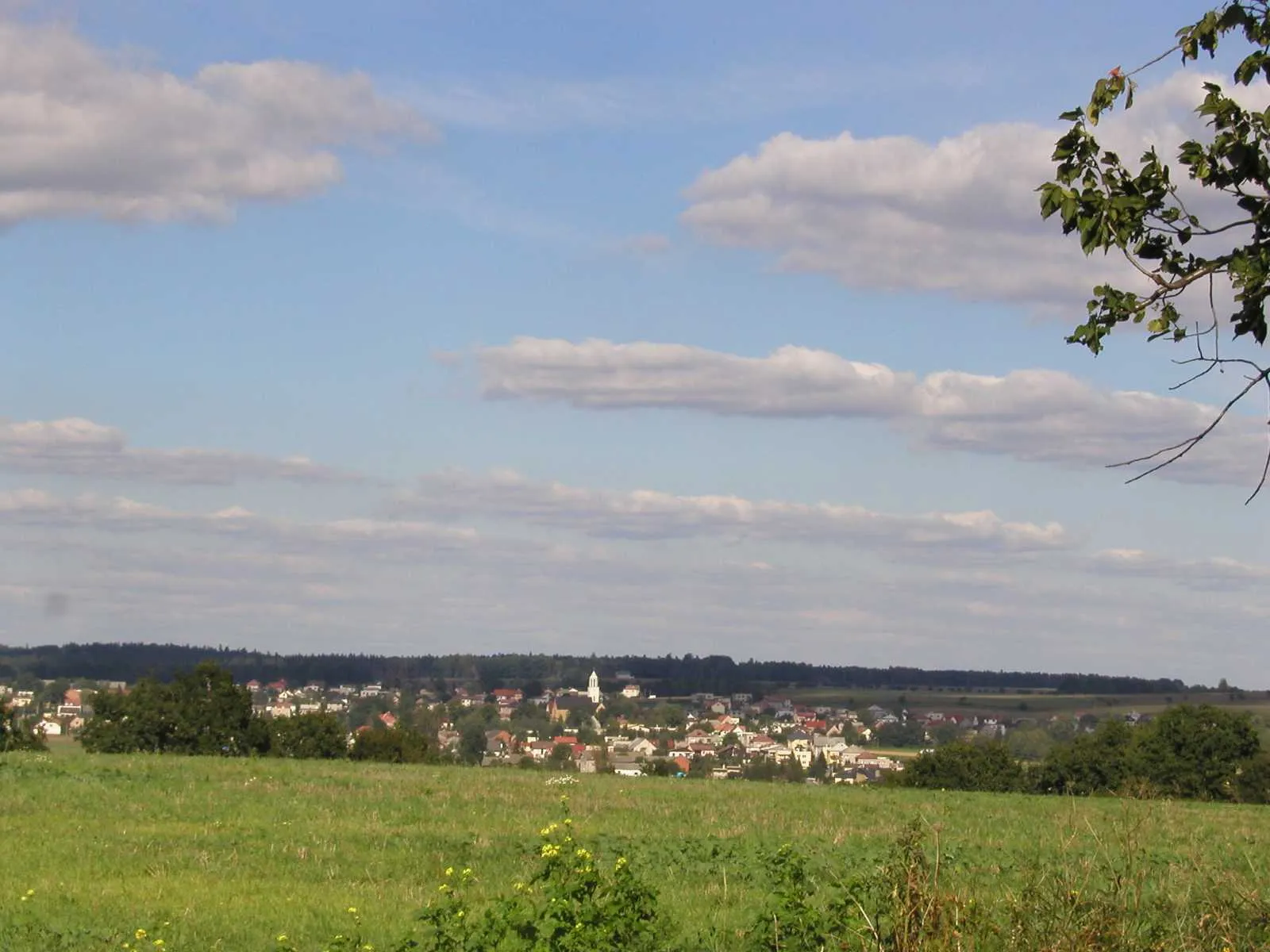
Start: Bohuslavice Village centerBohuslavice: Cycling-friendly town surrounded by peaceful countryside.
Bohuslavice is a small town located in the Moravskoslezsko region of the Czech Republic. The area surrounding Bohuslavice offers a range of road and gravel cycling routes, suitable for riders of all levels. Cyclists can enjoy the peaceful countryside and charming rural roads, with the option to explore nearby forests and nature reserves. While Bohuslavice may not be home to any famous cycling spots or well-known climbs, its diverse range of cycling routes make it an attractive destination for both road and gravel cyclists.1 km
1 km
Struhalův dubViewpointDiscover the Struhalův dub, a prominent oak tree known for its age and cultural significance
12 km
12 km
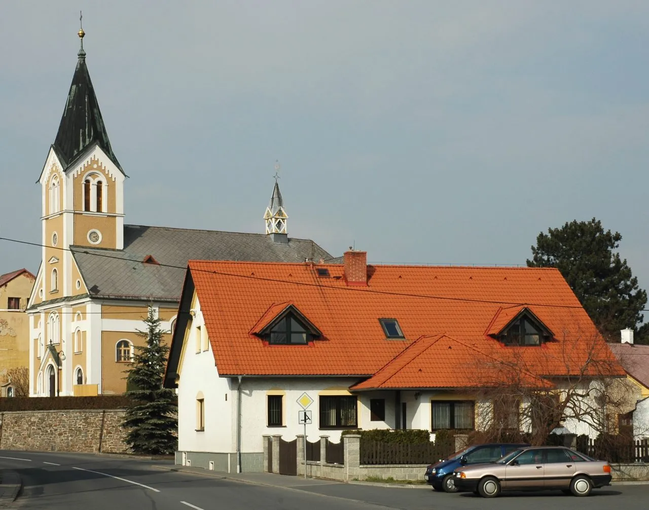
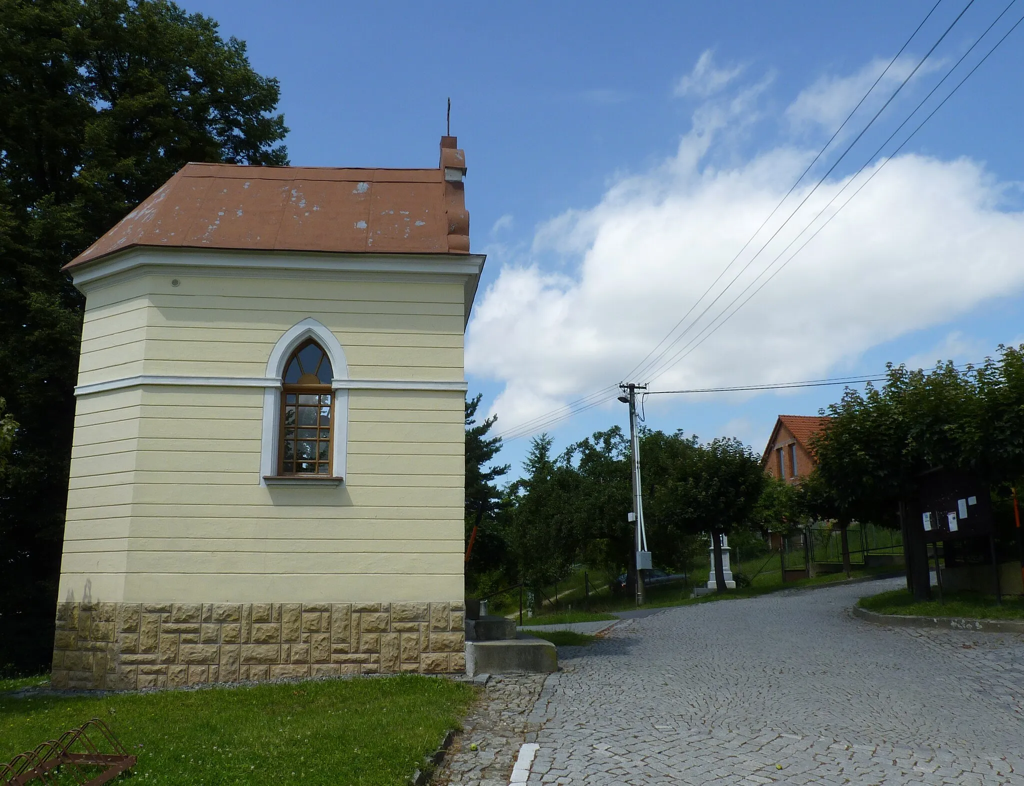
BojanówVillageVisit Bojanów and marvel at its historic charm and architectural landmarks
21 km
21 km
Głaz narzutowyAttractionMarvel at the massive Głaz narzutowy, a glacial erratic rock formation
21 km
21 km
Bulwary NadodrzańskieViewpointExplore the scenic Bulwary Nadodrzańskie alongside the Oder river
30 km
30 km
BrzezieSub-urbExperience the beauty of Brzezie and its charming countryside
32 km
32 km
Widok281 mPeakTake in the breathtaking views from Widok lookout point
42 km
42 km
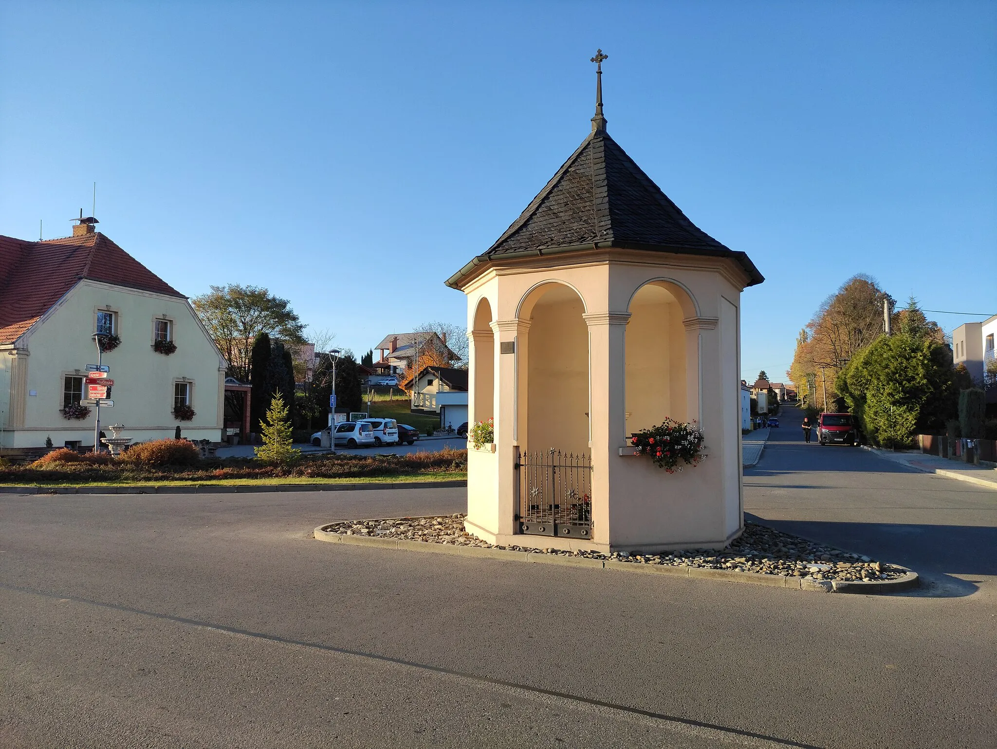
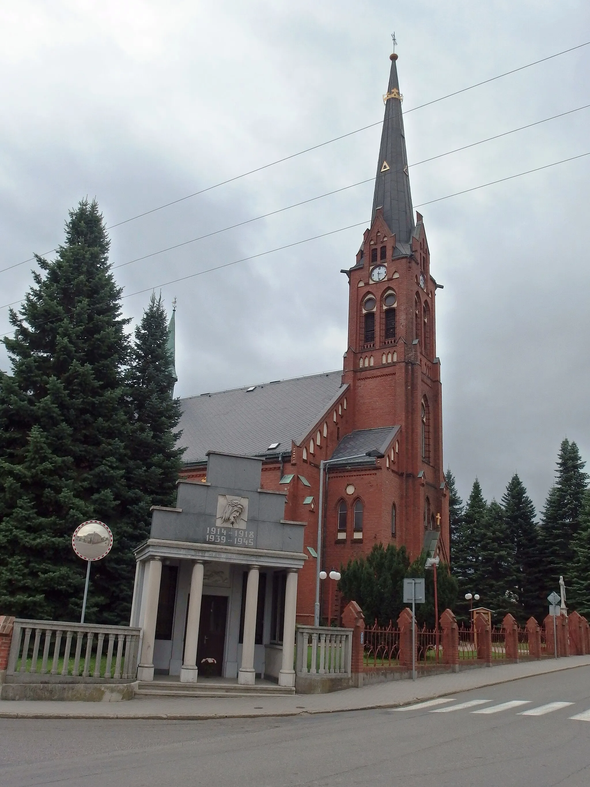
KrzyżanowiceVillageDiscover the historical significance of Krzyżanowice
48 km
48 km
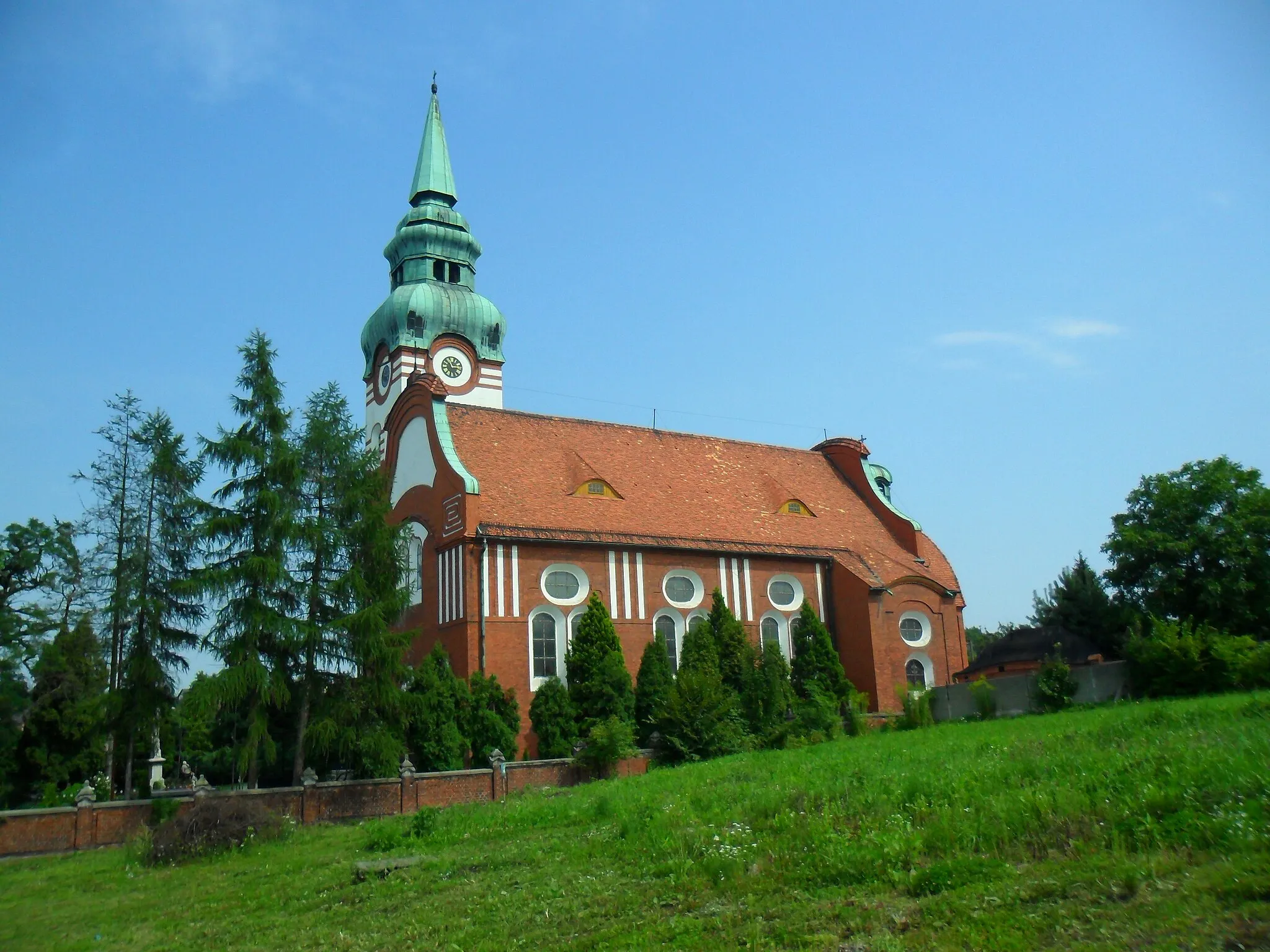
HaťVillageReach the summit of Hať and enjoy sweeping views of the landscape
59 km
59 km
Finish: Bohuslavice Village centerBohuslavice: Cycling-friendly town surrounded by peaceful countryside.
Cycling routes nearby: