Lerchenberg Gravel Excursion
A gravel cycling route starting from Illfurth
Embark on a gravel adventure to Lerchenberg
Map
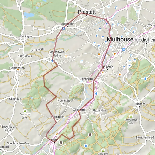
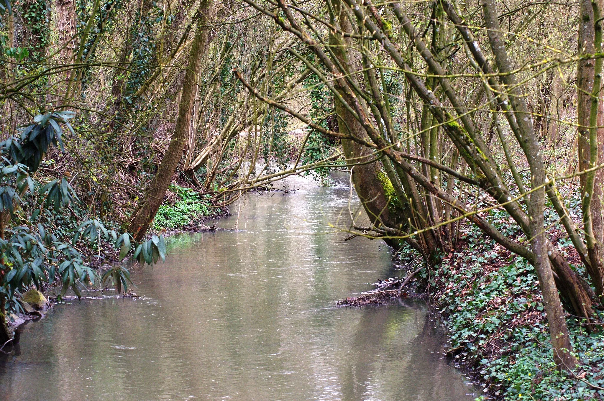
The Lerchenberg Gravel Excursion is a short but adventurous cycling route that covers 31 kilometers with an ascent of 257 meters. Suitable for gravel biking enthusiasts, this route takes you through picturesque landscapes near Illfurth. The highlight of the excursion is Lerchenberg, a hill with stunning views of the surrounding countryside. As you pedal through Zillisheim, you'll encounter scenic rural beauty and lesser-known gems of the region. Lastly, the route passes by Britzgyberg, providing yet another opportunity to appreciate the magnificent vistas of the Alsace landscape. The Lerchenberg Gravel Excursion offers a thrilling off-road experience for cyclists looking to explore the natural wonders of the area.
gravel
31 km
257 m
Chill
Route profile
Highlights on the route
0 km
0 km
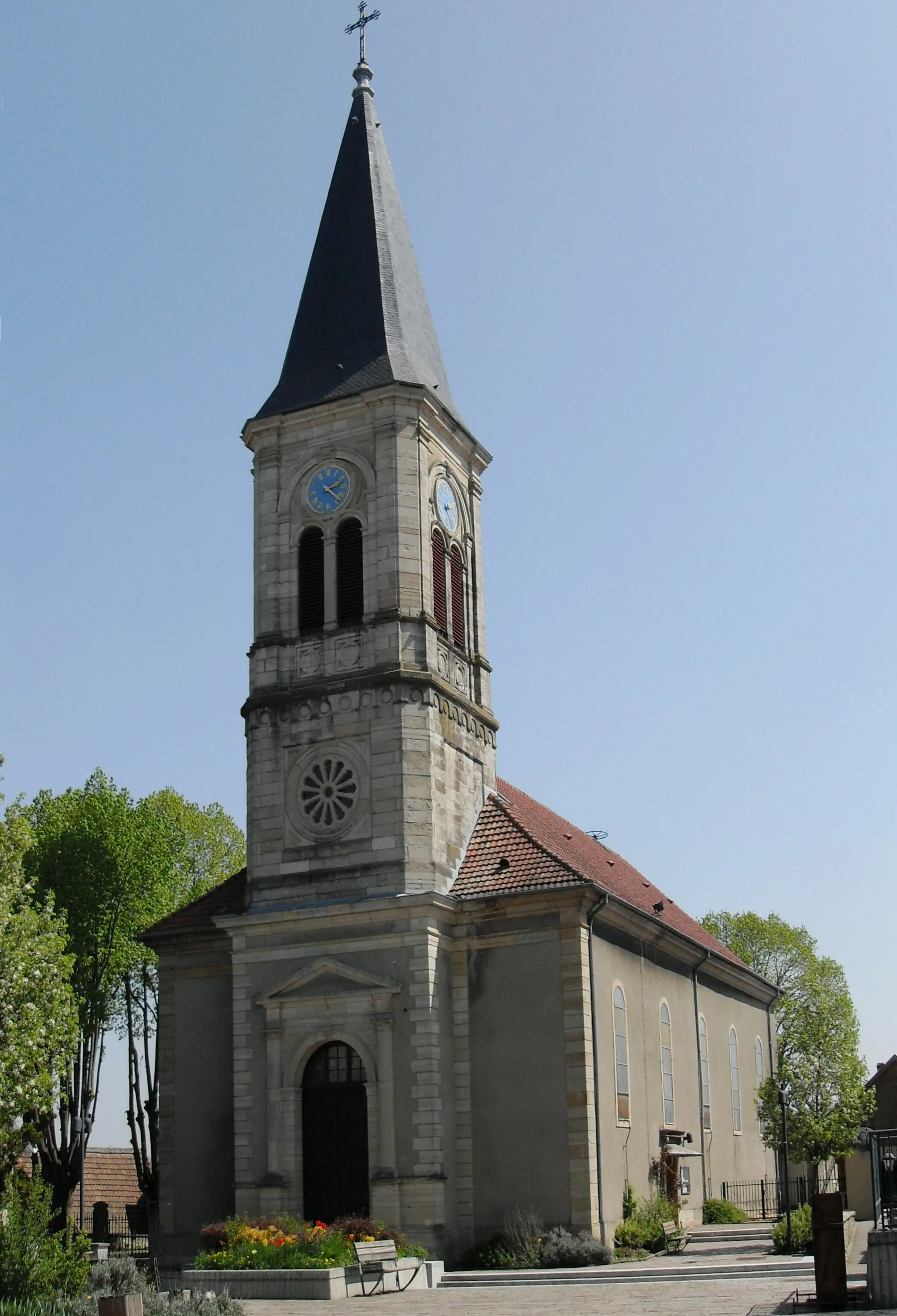
Start: Illfurth Village centerIllfurth: Rural town with hilly terrain and access to Ballon d'Alsace climb.
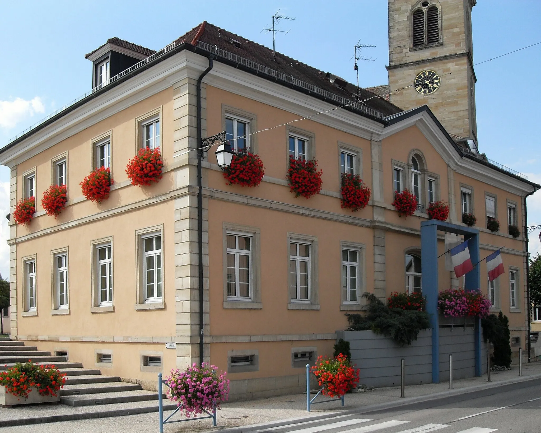
Illfurth is a small town located in Alsace, France. As a cyclist, you will find a mix of rural roads and small highways in the area. The terrain is hilly in parts, offering some challenging climbs and rewarding descents. One well-known cycling spot nearby is Ballon d'Alsace, known for its picturesque landscapes and tough ascent. Illfurth itself is not a major tourist destination, but it provides a good base for exploring the surrounding countryside on two wheels. Cyclists can enjoy the peaceful rural scenery and take on some challenging routes.3 km
3 km
Lerchenberg291 mPeakConquer Lerchenberg and enjoy breathtaking panoramic views of the idyllic Alsace landscape.
13 km
13 km
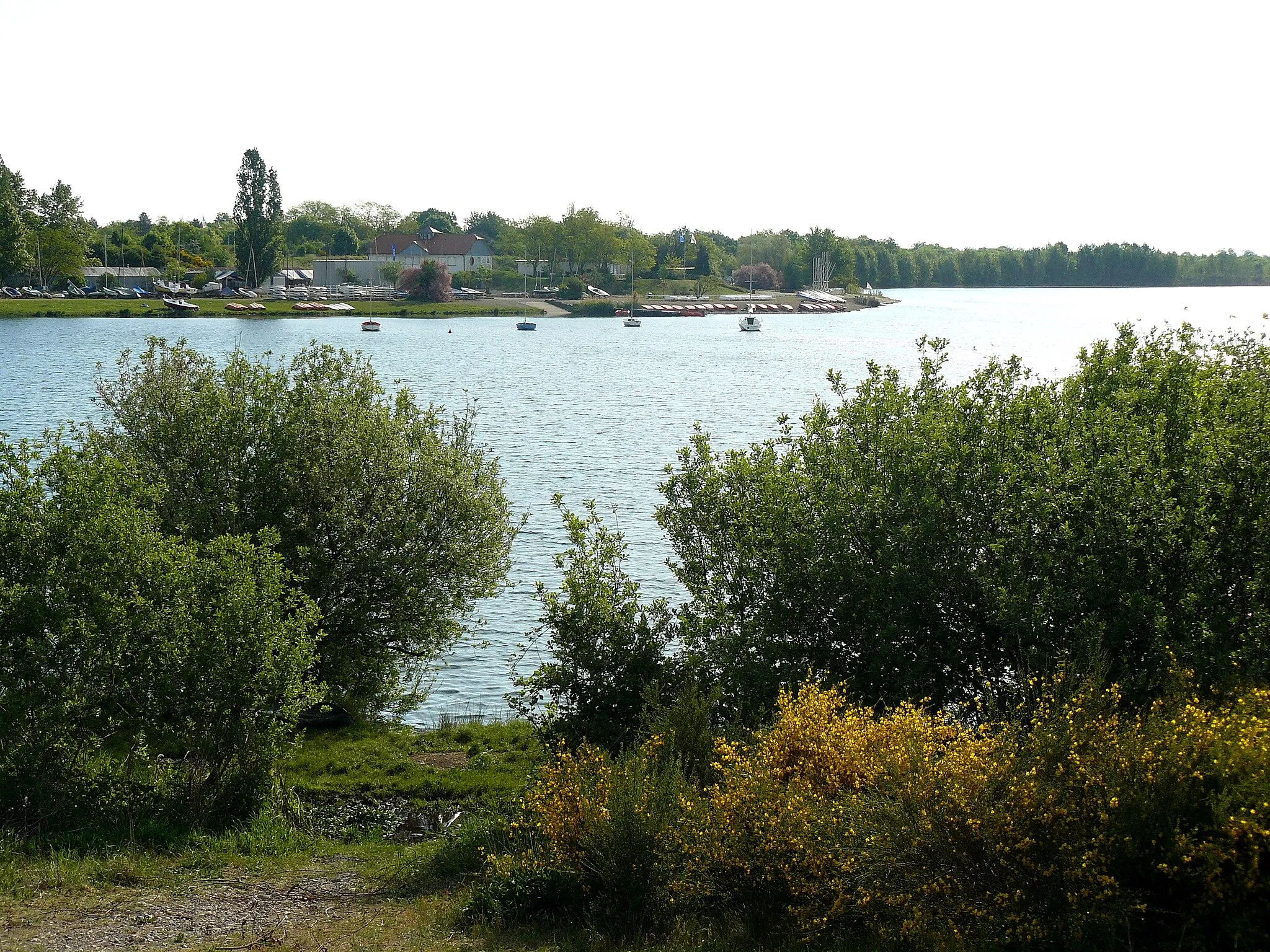
LutterbachVillageCycle through Lutterbach, a picturesque village known for its traditional Alsatian houses and serene landscapes.
26 km
26 km
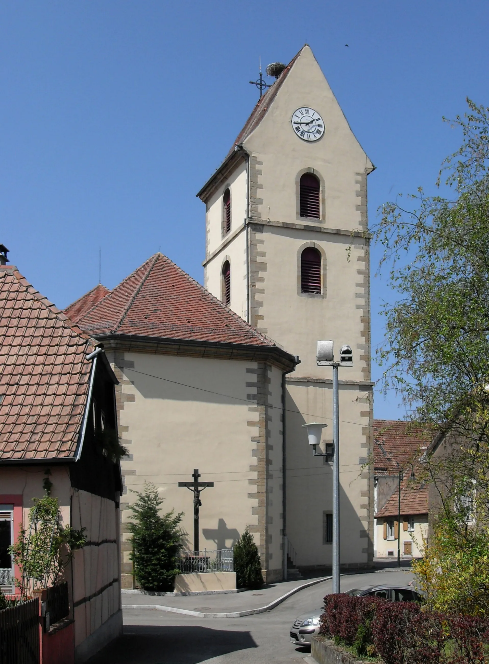
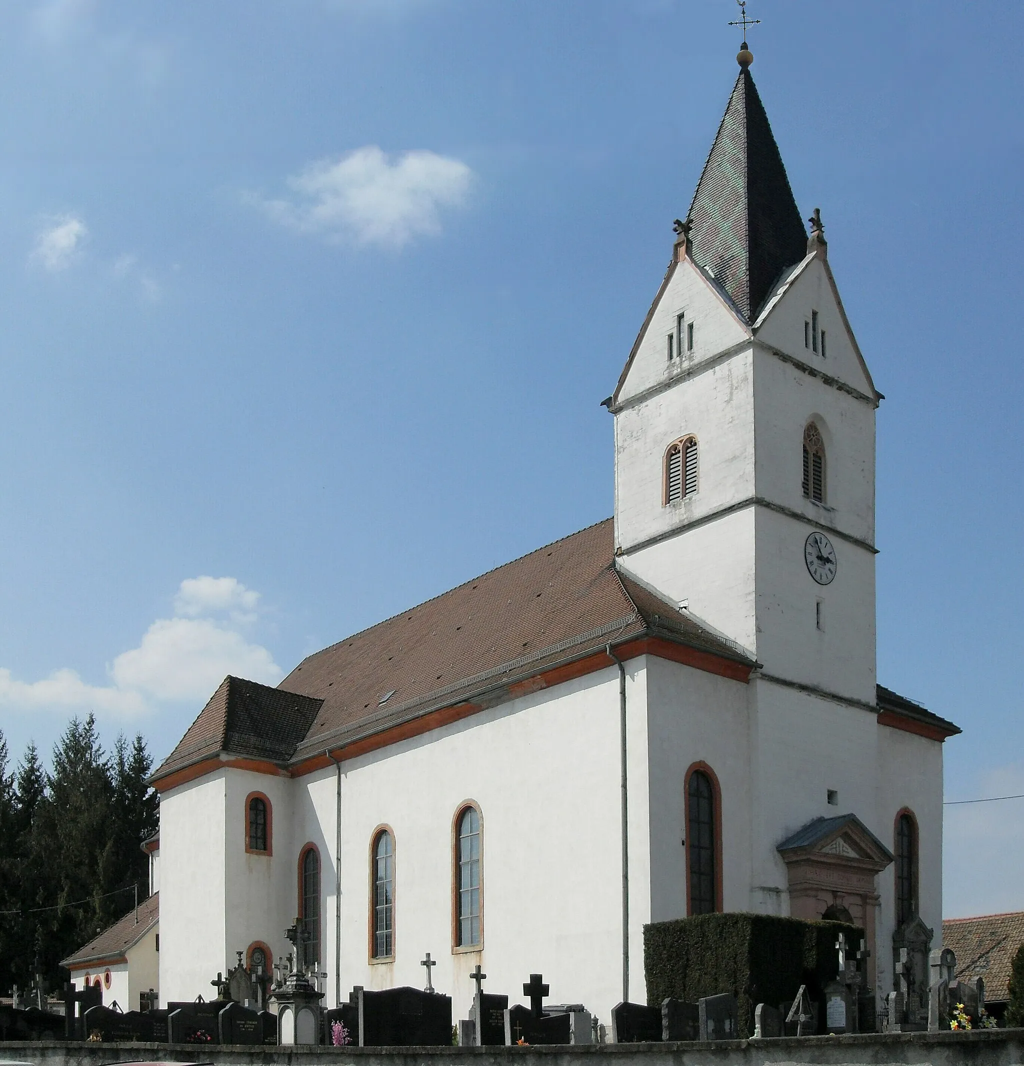
ZillisheimVillageExplore the rural beauty of Zillisheim as you pass through its charming countryside.
30 km
30 km
Britzgyberg382 mPeakReach the summit of Britzgyberg and marvel at its stunning vistas of the surrounding Alsace countryside.
31 km
31 km
Finish: Illfurth Village centerIllfurth: Rural town with hilly terrain and access to Ballon d'Alsace climb.
Cycling routes nearby: