Falkwiller Loop
A road cycling route starting from Illfurth
Enjoy a scenic ride through Falkwiller
Map
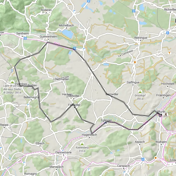
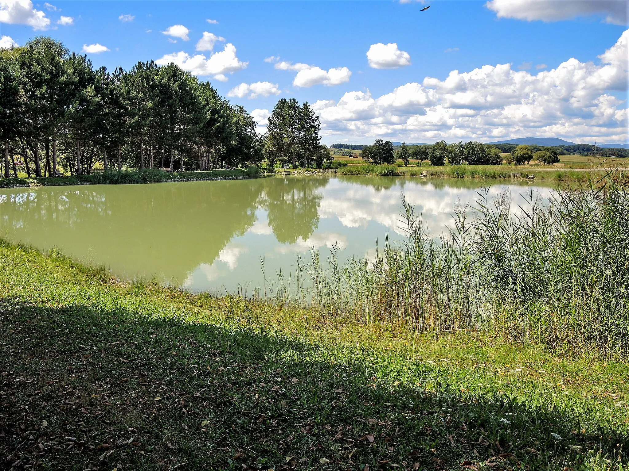
The Falkwiller Loop is a picturesque cycling route that takes you through the beautiful countryside near Illfurth. With a distance of 51 kilometers and an ascent of 334 meters, this road route is suitable for moderately experienced cyclists. The highlight of this route is Falkwiller, a charming village with traditional Alsatian architecture and stunning views of the surrounding vineyards. Other highlights along the route include Guevenatten, which boasts a historic castle, and Burnhaupt-le-Bas, known for its captivating rural landscapes. Overall, the Falkwiller Loop offers a delightful mix of natural beauty and cultural heritage.
road
51 km
334 m
Tough
Route profile
Highlights on the route
0 km
0 km
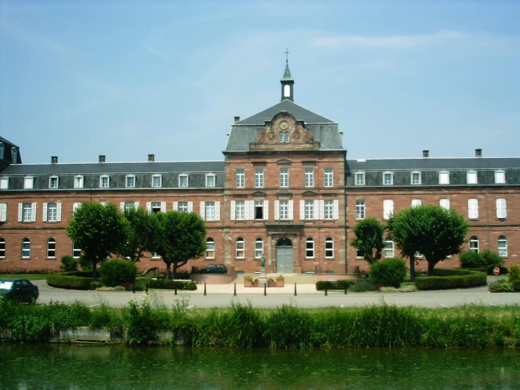
Start: Illfurth Village centerIllfurth: Rural town with hilly terrain and access to Ballon d'Alsace climb.
Illfurth is a small town located in Alsace, France. As a cyclist, you will find a mix of rural roads and small highways in the area. The terrain is hilly in parts, offering some challenging climbs and rewarding descents. One well-known cycling spot nearby is Ballon d'Alsace, known for its picturesque landscapes and tough ascent. Illfurth itself is not a major tourist destination, but it provides a good base for exploring the surrounding countryside on two wheels. Cyclists can enjoy the peaceful rural scenery and take on some challenging routes.14 km
14 km
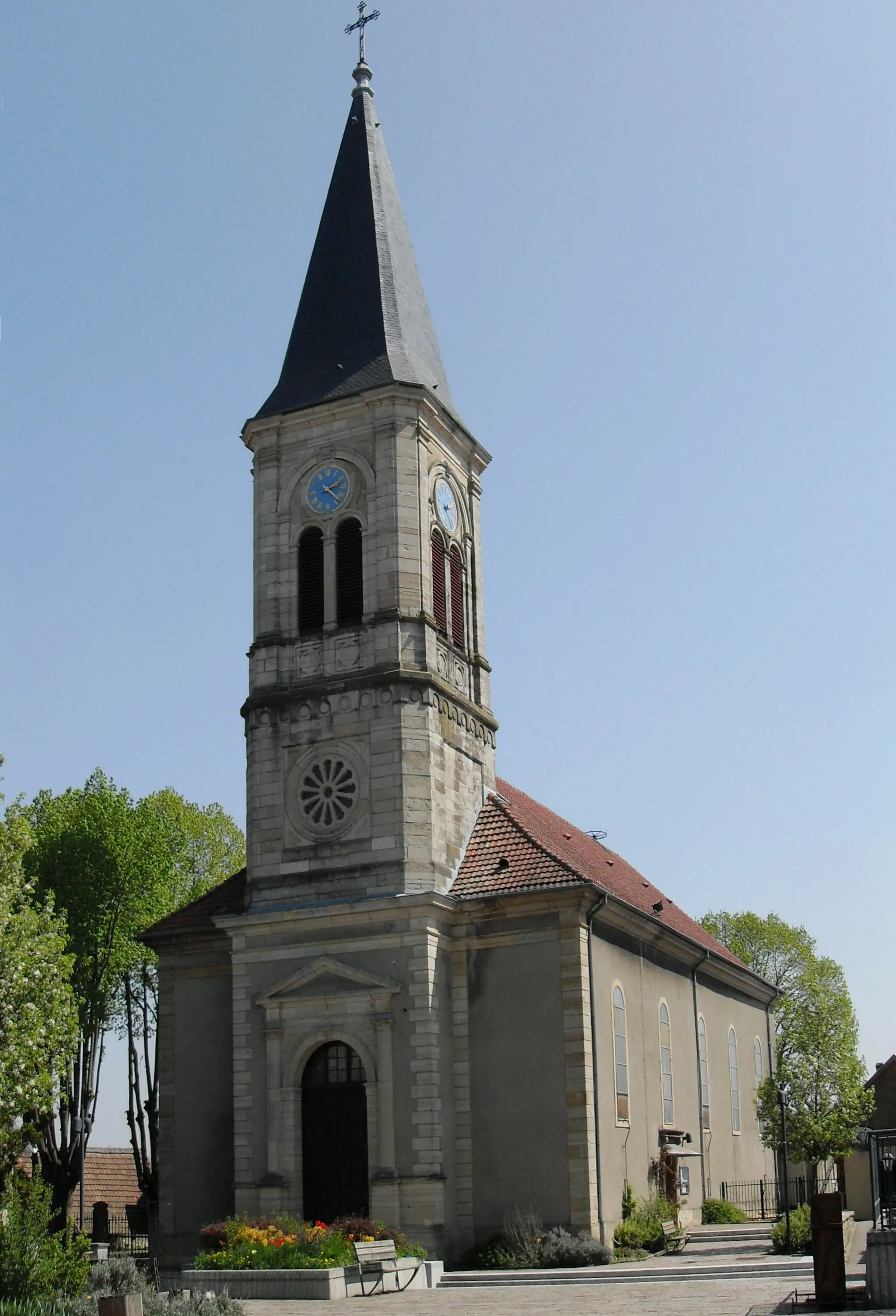
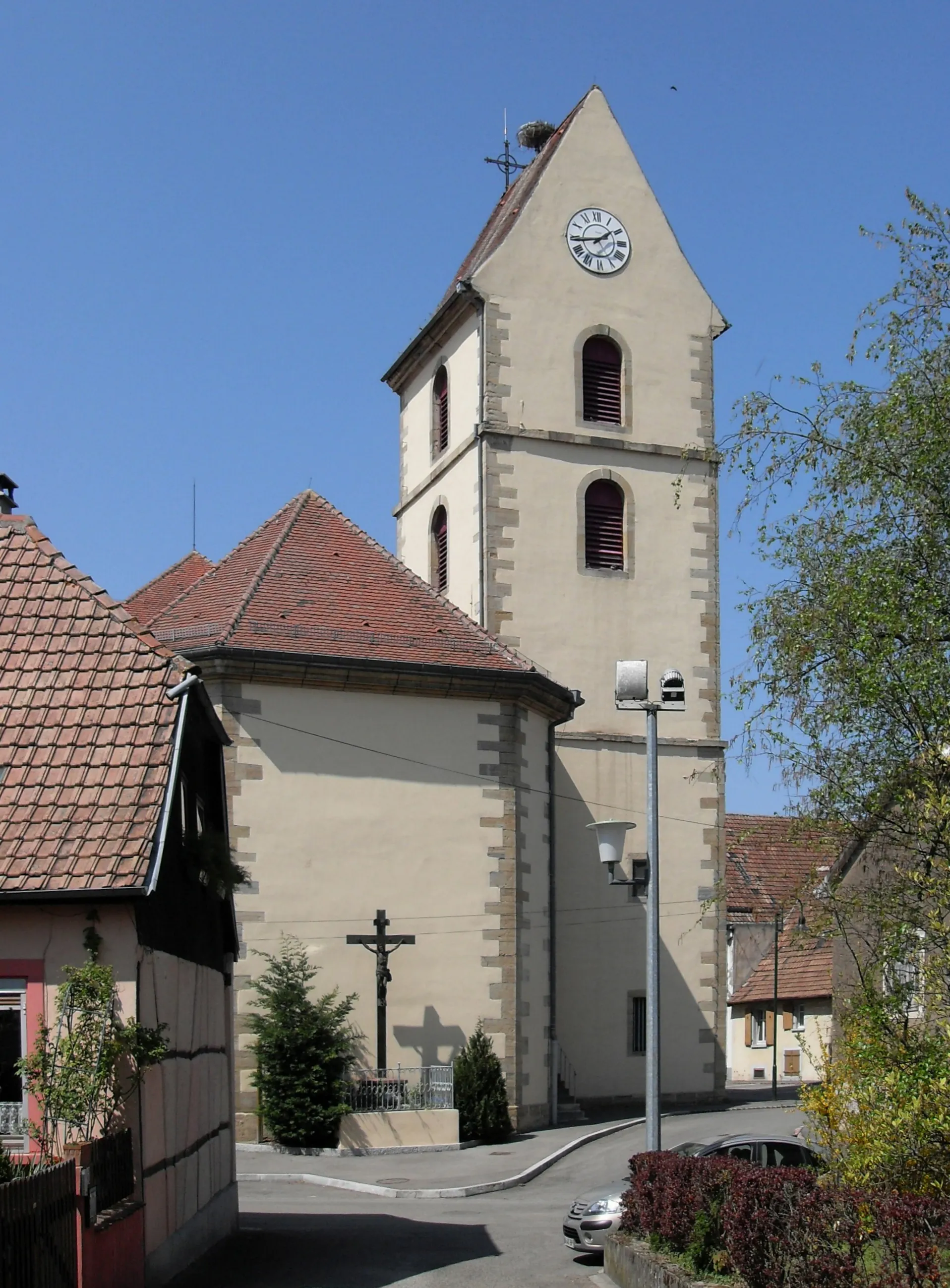
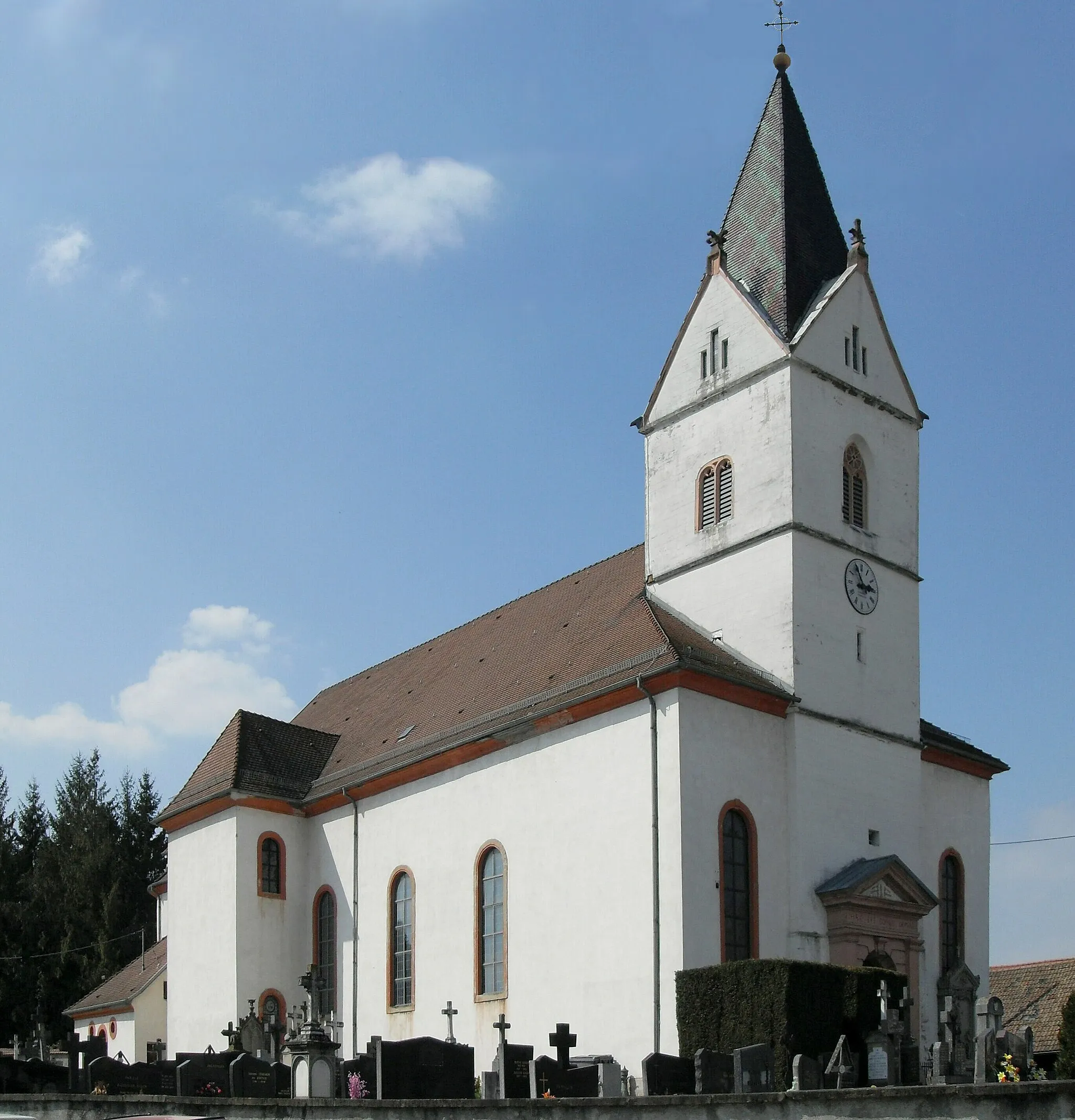
FalkwillerVillageImmerse yourself in the charm of Falkwiller's traditional Alsatian architecture and enjoy panoramic views of the vineyards.
20 km
20 km
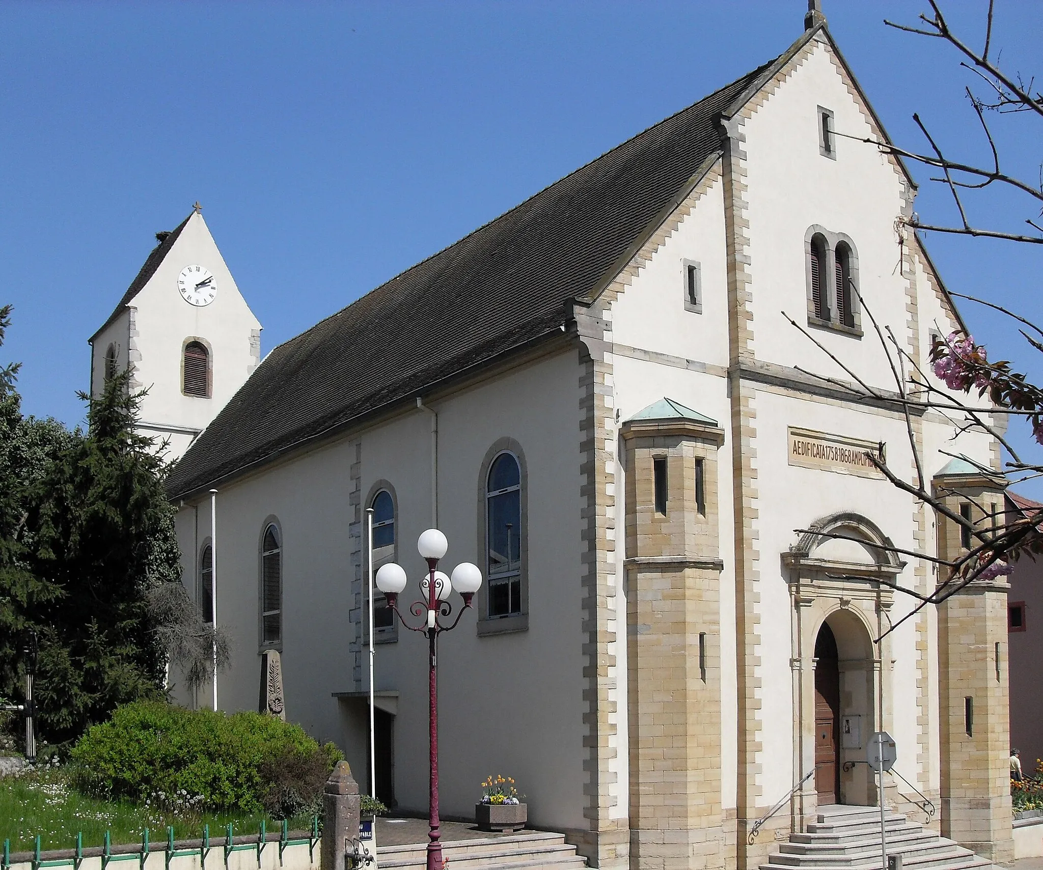
GuevenattenVillageExplore the historic castle in Guevenatten and learn about the region's medieval past.
25 km
25 km
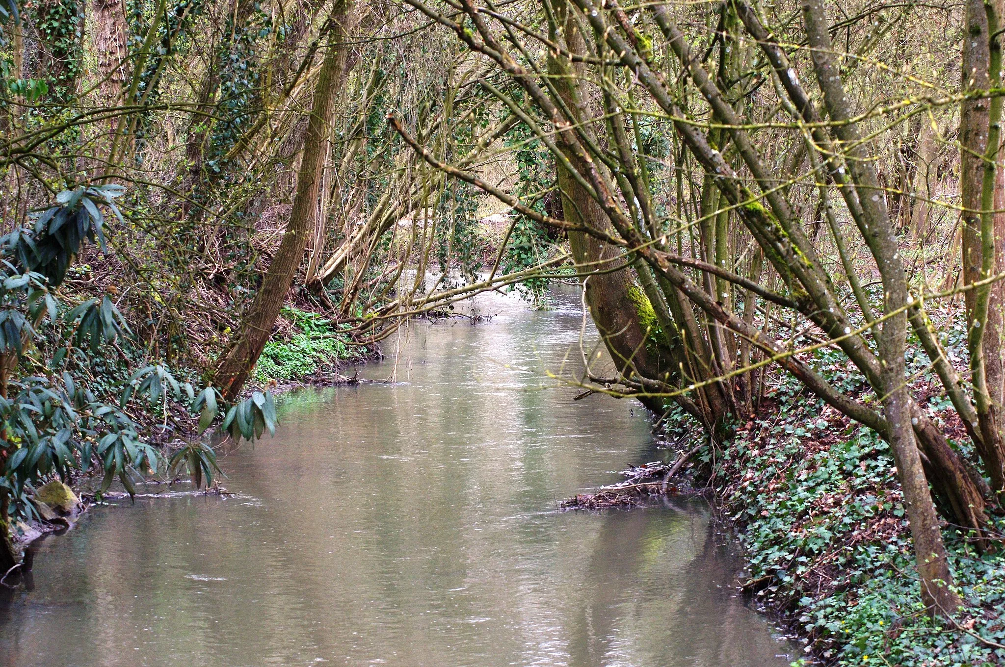
Ligne de partage des eaux Doubs/Ill (395m)395 mMountain PassDiscover the Ligne de partage des eaux Doubs/Ill, a watershed dividing the Doubs and Ill rivers.
39 km
39 km
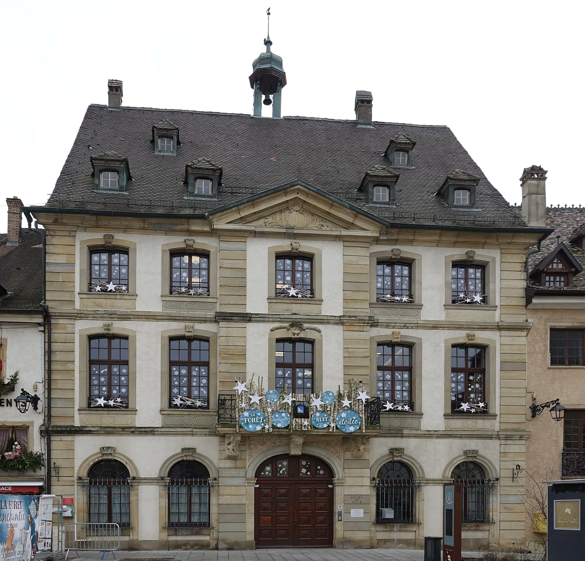
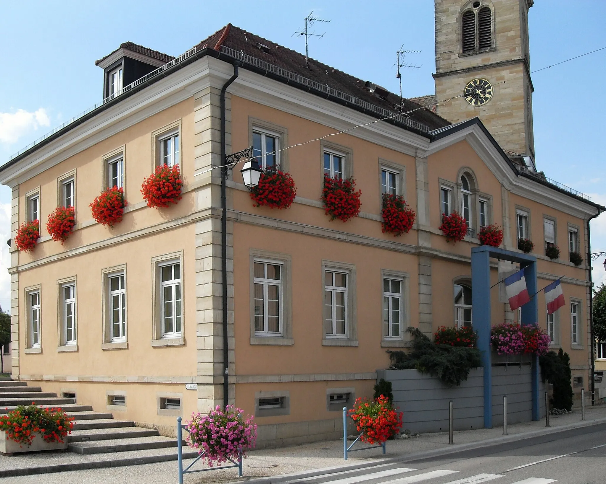
Burnhaupt-le-BasVillageAdmire the captivating rural landscapes of Burnhaupt-le-Bas as you cycle through the village.
47 km
47 km
Spechbach-le-BasVillageCycle through Spechbach-le-Bas and take in the serene beauty of its surrounding countryside.
51 km
51 km
Finish: Illfurth Village centerIllfurth: Rural town with hilly terrain and access to Ballon d'Alsace climb.
Cycling routes nearby: