Explore the Wine Country of Alsace on Two Wheels!
Cycling routes from Lapoutroie
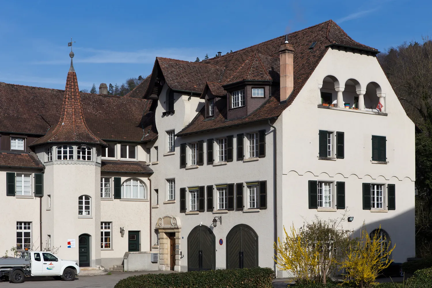
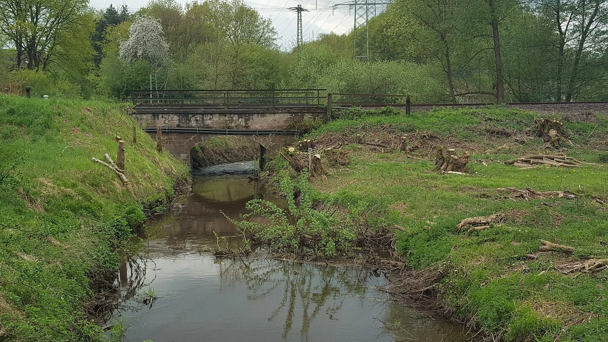
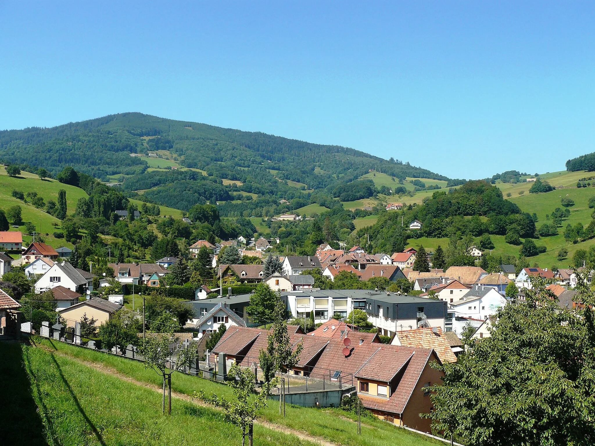
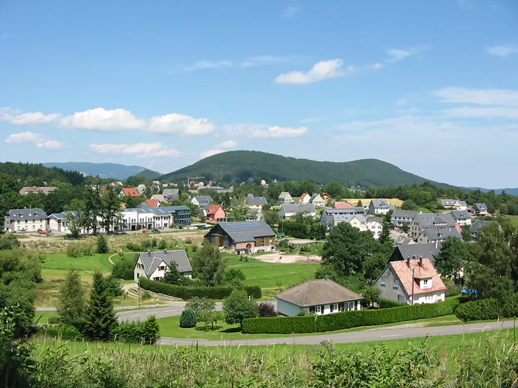
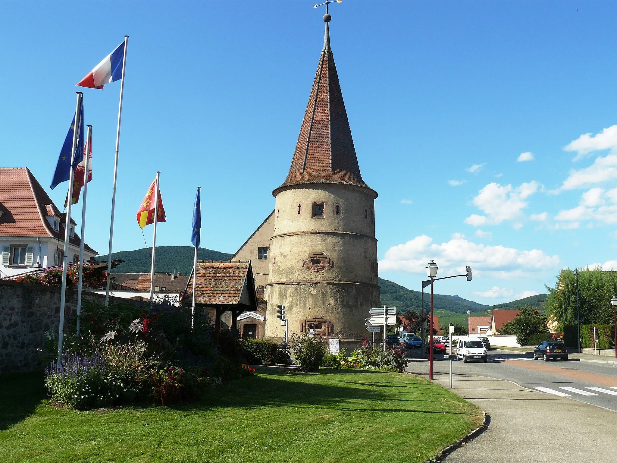
Lapoutroie is a picturesque village situated in the Alsace region of France. From a cyclist's point of view, Lapoutroie offers a range of vineyard-lined roads and scenic vistas to explore. The region is renowned for its wine production, so you can enjoy a delightful ride through the vineyards before stopping at one of the local wineries for a tasting. The hilly terrain surrounding Lapoutroie provides cyclists with a challenging yet rewarding experience, with several notable climbs nearby, such as the Côte de Lapoutroie. Whether you're a leisure cyclist or a seasoned rider, Lapoutroie has something to offer for everyone.
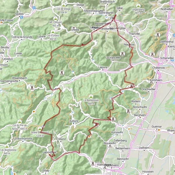
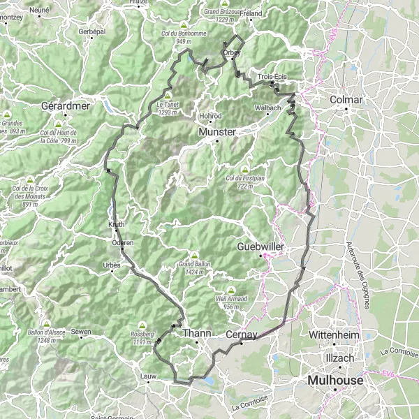
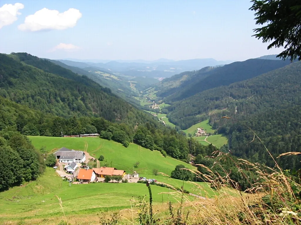
Uncover the hidden gems of the Vosges mountains on this adventurous gravel route
Embark on an epic gravel adventure through the lesser-known parts of the Vosges mountains on this 91 km route. With an ascent of 3006 meters, this route is suitable for experienced gravel riders seeking a challenge. Highlights of the route include the historic Hirzberg and the stunning Château de Saint-Ulrich. The difficulty level of this route is 4 out of 5, making it suitable for experienced cyclists. The epicness level is high with a rating of 4 out of 5.
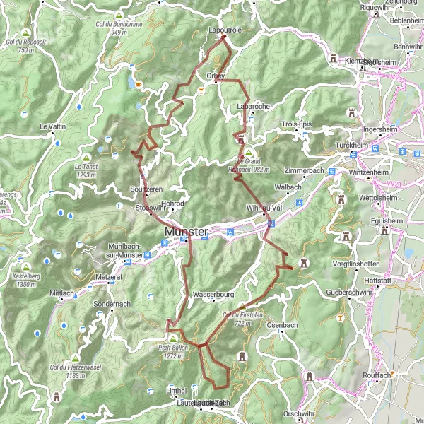
Indulge in an adventurous gravel ride through the Vosges mountains
Experience the thrill of gravel riding in the beautiful Vosges mountains on this 77 km route. With a total ascent of 2620 meters, this route is suitable for experienced gravel cyclists. Highlights along the route include the charming village of Orbey and the challenging climb of Col du Firstplan. The difficulty level of this route is 3 out of 5, making it a good choice for intermediate to advanced gravel riders. The epicness level is also high with a rating of 4 out of 5.
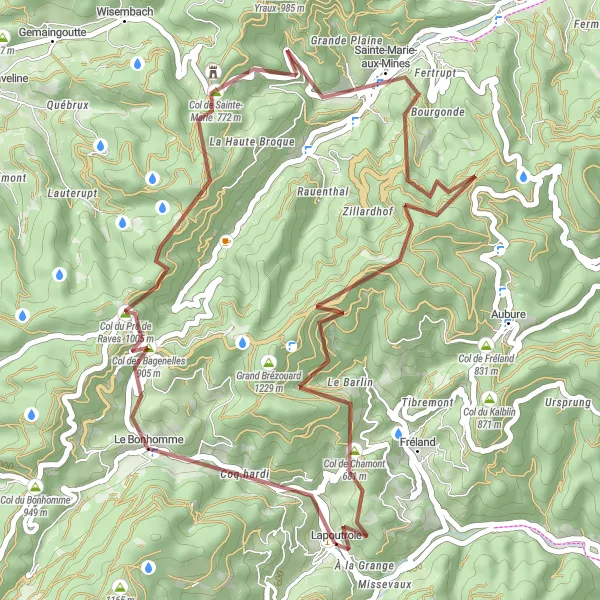
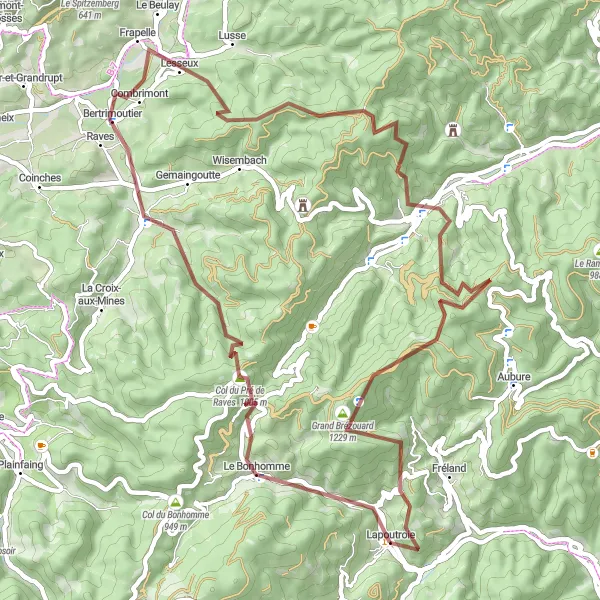
Breathtaking mountain views and challenging gravel routes
Experience the stunning landscapes of the Vosges Mountains on this gravel adventure starting from Lapoutroie. With a total distance of 43 kilometers and an ascent of 1618 meters, this route is ideal for those seeking a thrilling and scenic experience. Along the way, you'll pass by Le Bonhomme, the historic town known for its traditional Alsatian architecture. Don't miss the Table d'orientation viewpoint, which offers panoramic views of the mountains. The Tête du Violu is another highlight, where you can enjoy pristine natural beauty. Sainte-Marie-aux-Mines, Hirzberg, Refuge du Hirzberg, and Col de Chamont are additional stops that add to the charm of the journey.
Experience a road cycling journey through the scenic beauty of Alsace
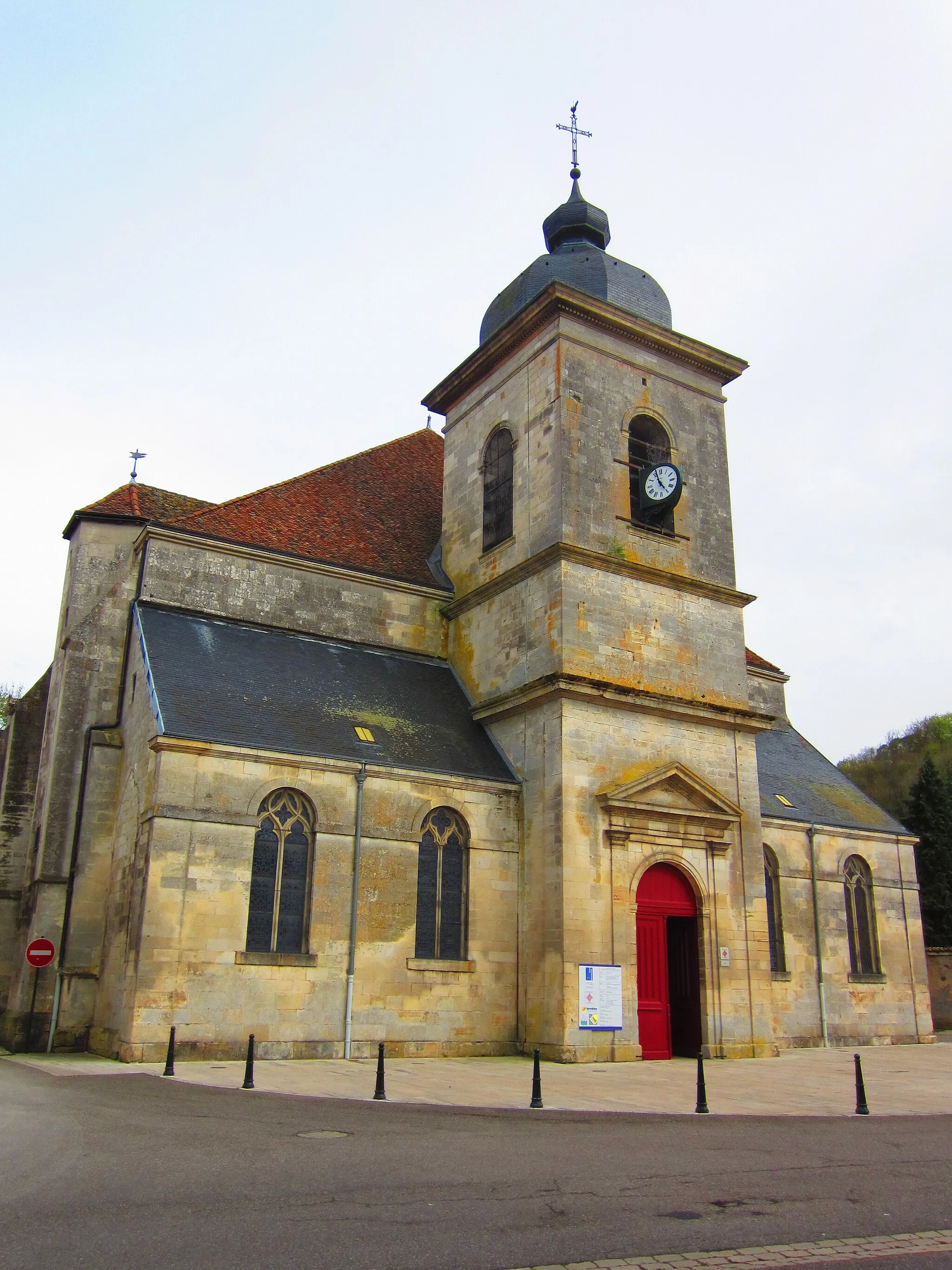
Embark on a mesmerizing road cycling adventure through the captivating landscapes of Alsace. This 98-kilometer route with an ascent of 738 meters offers the perfect balance of beauty and challenge. Kaysersberg, Wickerschwihr, Neuf-Brisach, Eguisheim, Le Grand Hohnack, and Labaroche are among the highlights along the way, each offering unique experiences and breathtaking scenery.
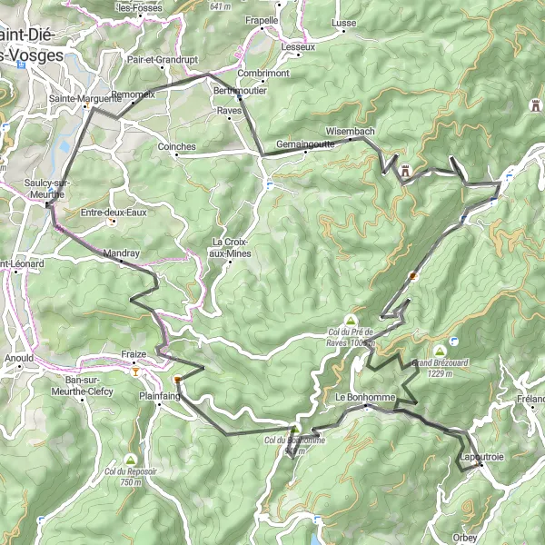
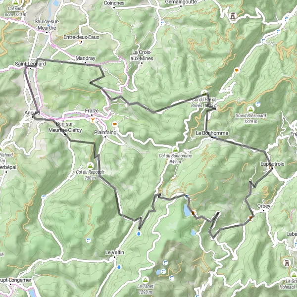
Explore the historic Vosges region on this challenging road cycling route.
Embark on a journey through the beautiful Vosges region, known for its historical significance and stunning landscapes. This road cycling route takes you on a loop starting near Lapoutroie, offering a mix of challenging climbs and scenic descents. With a total ascent of 1,898 meters over a distance of 79 kilometers, this route is suitable for well-trained amateur cyclists seeking a thrilling adventure. Discover charming towns and villages along the way, as you ride through Le Bonhomme, Saulcy-sur-Meurthe, Ban-de-Laveline, and more. The highlights of this route include the legendary Col du Bonhomme climb, the panoramic Table d'orientation, and the picturesque Col de Sainte-Marie.
Scenic Gravel Loop in the Vosges
Discover the scenic beauty of the Vosges on this gravel cycling route
Explore the captivating landscapes of the Vosges mountains on this 61 km gravel cycling route. With an ascent of 2062 meters, this route is perfect for intermediate gravel riders. Highlights of the route include the picturesque village of Le Bonhomme and the panoramic viewpoint at Table d'orientation. The difficulty level of this route is 3 out of 5, offering a good balance between challenge and enjoyment. The epicness level is moderate with a rating of 3 out of 5.
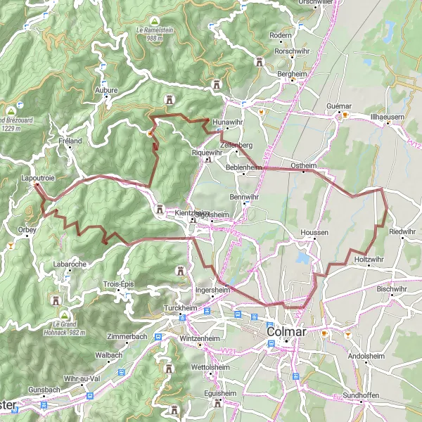
Embark on a gravel adventure through Alsace's wine region and discover historic castles
Discover the enchanting landscapes of Alsace as you cycle through its idyllic vineyards and explore charming castle ruins. With a distance of 66 kilometers and an ascent of 1259 meters, this route is perfect for those seeking a mix of natural beauty and historical attractions. Koenigsstuhl, a dramatic rock formation, serves as the first highlight on this journey. As you pass the Château de Bilstein-Aubure ruins, you'll be transported back in time and get a glimpse into Alsace's fascinating history. Make a stop in Hunawihr, a picturesque village known for its flower-filled streets and charming buildings. Holtzwihr, Ammerschwihr, and Les Allagoutes are other attractions along the route worth exploring.
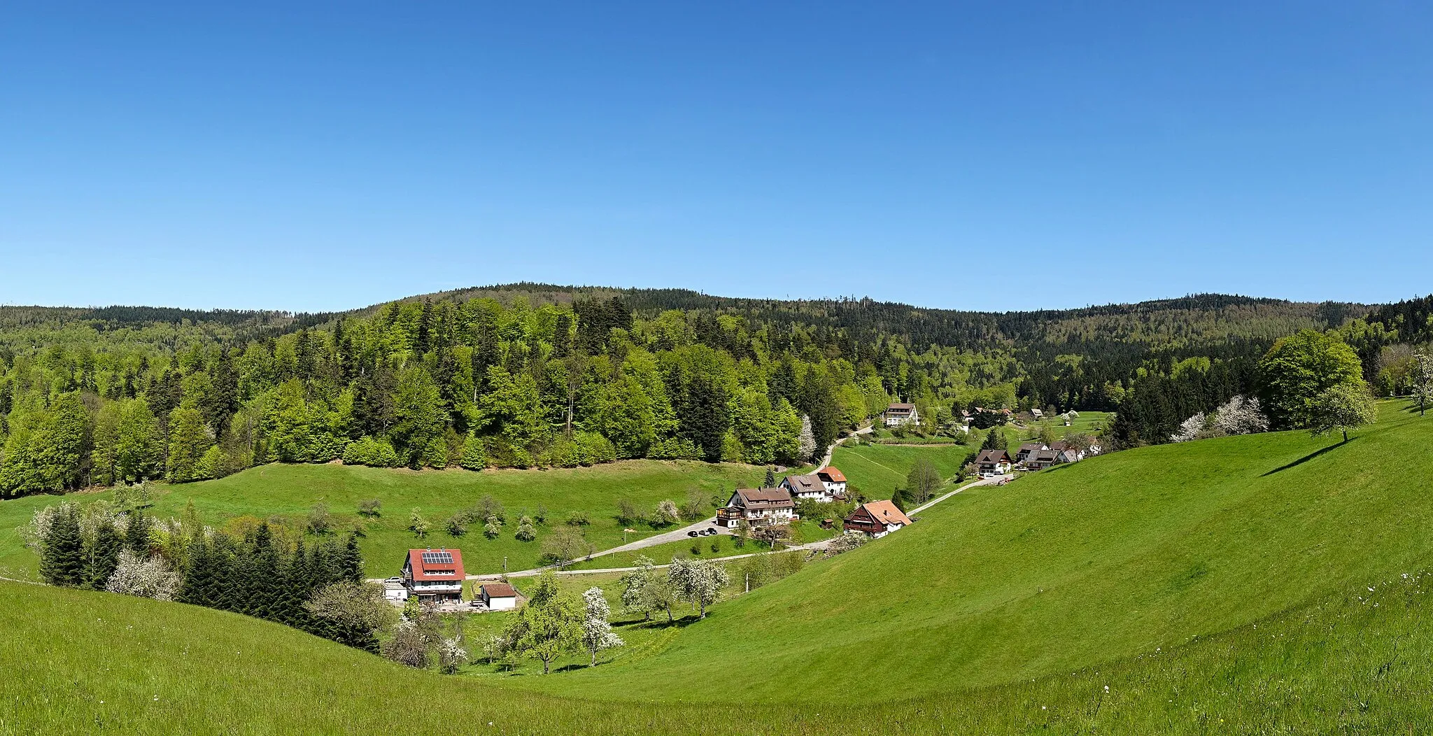
The Rolling Hills of Alsace
Experience the enchanting beauty of the Alsace region on this road cycling route
Embark on a scenic journey through the rolling hills of Alsace on this gentle road cycling route starting near Lapoutroie. Covering a distance of 58 km and with 1052 meters of ascent, this route is suitable for moderately experienced cyclists. Highlights of the route include the charming town of Kaysersberg and the rewarding ascent of Col du Brand. The difficulty level of this route is 2 out of 5, making it accessible for cyclists of various skill levels. The epicness level is moderate with a rating of 3 out of 5.
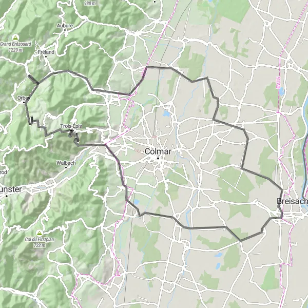
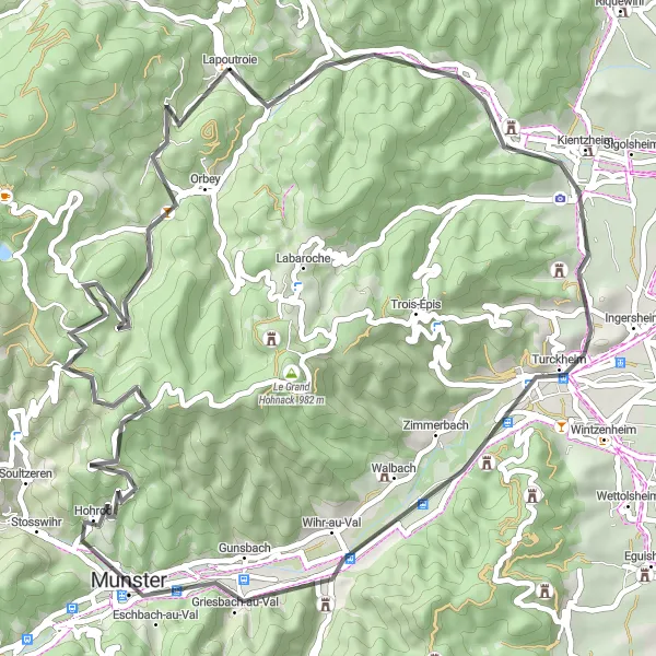
Discover the stunning region of Alsace on this challenging road cycling route
This round-trip cycling route starting near Lapoutroie will take you through the picturesque region of Alsace in France. With a total distance of 168 km and an ascent of 3030 meters, this route is a perfect challenge for well-trained amateur cyclists. Along the way, you will encounter numerous highlights including the historic town of Turckheim and the beautiful Col du Wilsbach. The difficulty level of this route is 4 out of 5, making it suitable for experienced cyclists looking for a challenging ride. The epicness level is also high with a rating of 4 out of 5.
A mix of scenic beauty and challenging terrain awaits you on this epic gravel cycling route around Lapoutroie.
This 68 km gravel cycling route starting near Lapoutroie in Alsace, France is a challenging adventure that showcases the region's natural beauty and offers stunning views along the way. With a total ascent of 1682 meters, this route is best suited for experienced cyclists seeking a thrilling challenge. The route takes you through picturesque villages, dense forests, and scenic mountainous landscapes. Prepare yourself for a journey full of surprises, including breathtaking viewpoints, quiet backroads, and memorable encounters with local culture and gastronomy.
Cycling routes nearby:


Nearby regions: