Scenic Gravel Loop in the Vosges
A gravel cycling route starting from Lapoutroie
Discover the scenic beauty of the Vosges on this gravel cycling route
Map
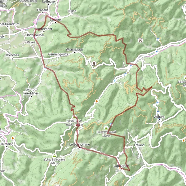
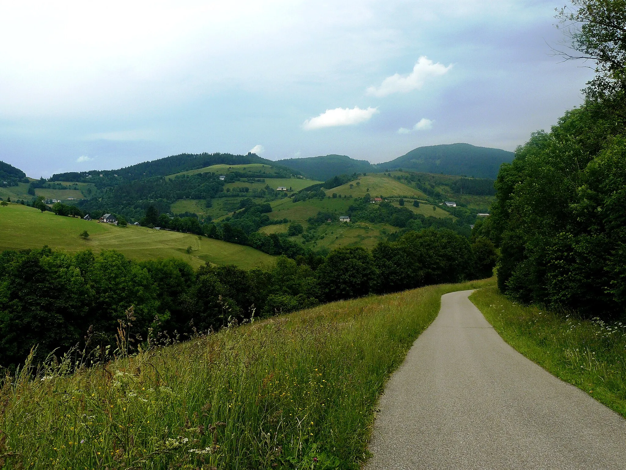
Explore the captivating landscapes of the Vosges mountains on this 61 km gravel cycling route. With an ascent of 2062 meters, this route is perfect for intermediate gravel riders. Highlights of the route include the picturesque village of Le Bonhomme and the panoramic viewpoint at Table d'orientation. The difficulty level of this route is 3 out of 5, offering a good balance between challenge and enjoyment. The epicness level is moderate with a rating of 3 out of 5.
gravel
61 km
2062 m
Tough
Route profile
Highlights on the route
0 km
0 km
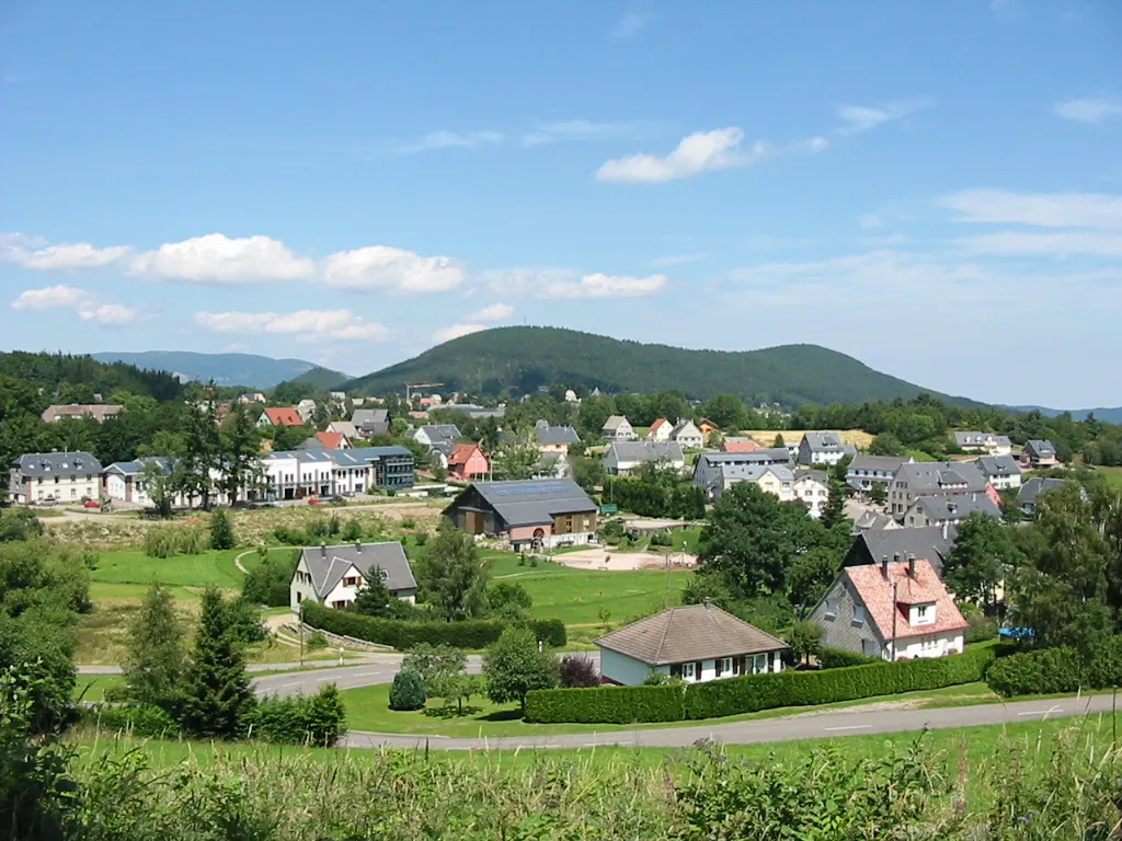
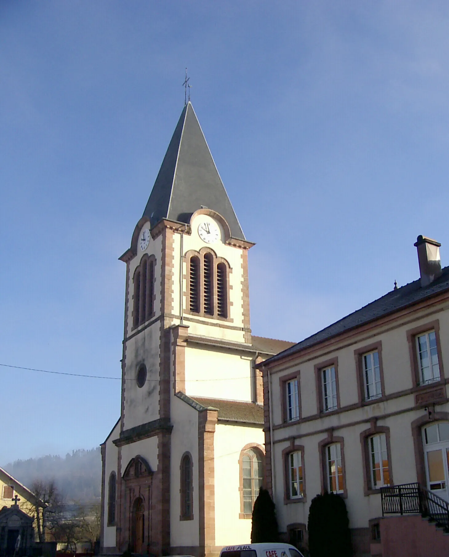
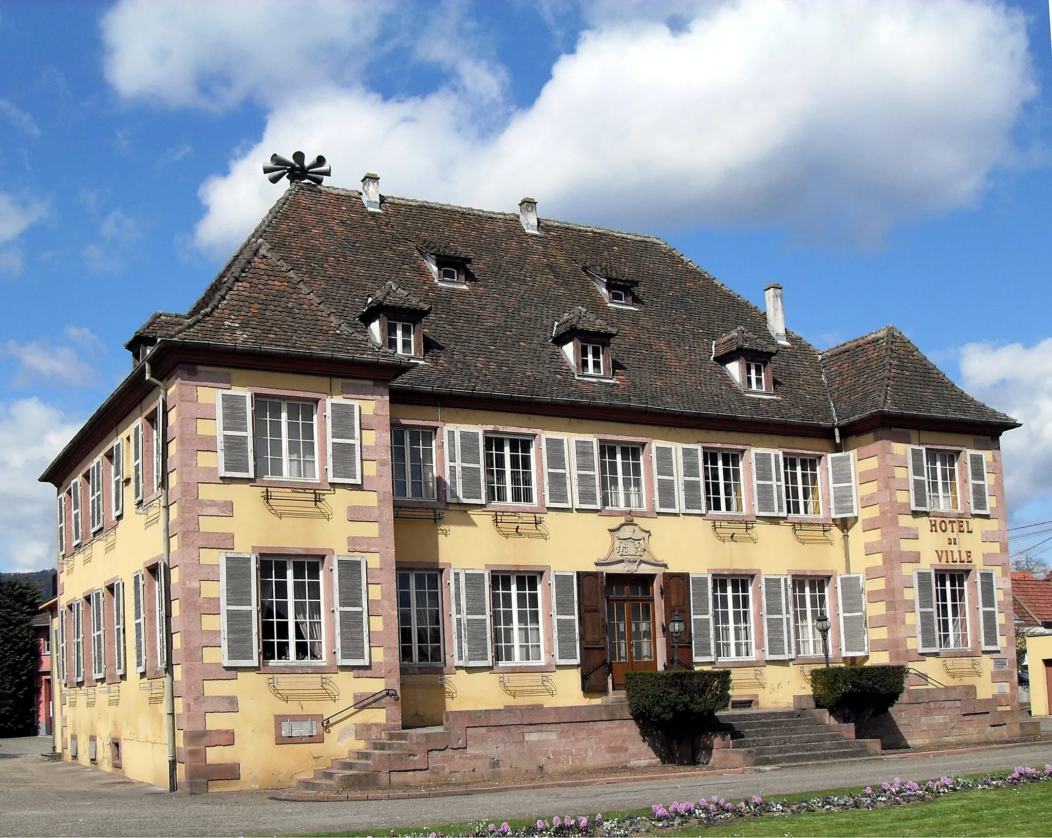
Start: Lapoutroie Village centerLapoutroie: Explore the Wine Country of Alsace on Two Wheels!
Lapoutroie is a picturesque village situated in the Alsace region of France. From a cyclist's point of view, Lapoutroie offers a range of vineyard-lined roads and scenic vistas to explore. The region is renowned for its wine production, so you can enjoy a delightful ride through the vineyards before stopping at one of the local wineries for a tasting. The hilly terrain surrounding Lapoutroie provides cyclists with a challenging yet rewarding experience, with several notable climbs nearby, such as the Côte de Lapoutroie. Whether you're a leisure cyclist or a seasoned rider, Lapoutroie has something to offer for everyone.5 km
5 km
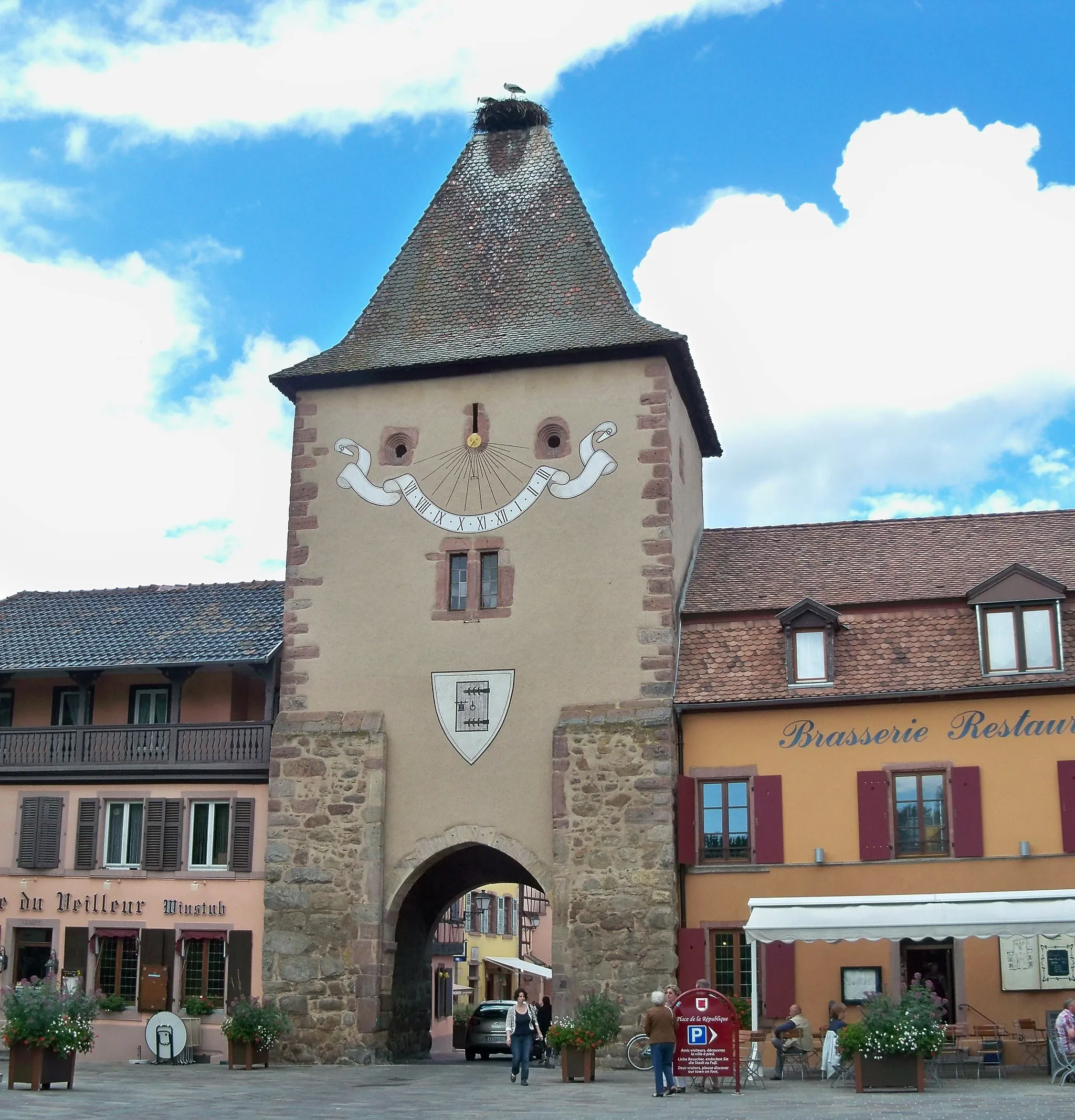
Le BonhommeVillageLe Bonhomme is a charming village located on the scenic Route des Crêtes, offering lovely views of the surrounding mountains.
8 km
8 km
Table d'orientationViewpointTable d'orientation is a panoramic viewpoint that allows cyclists to admire the stunning landscapes of the Vosges mountains.
20 km
20 km
BertrimoutierVillageBertrimoutier is a peaceful village known for its beautiful rural landscapes and traditional Alsatian houses.
34 km
34 km
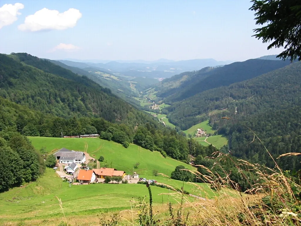
Haut des Yraux985 mPeakHaut des Yraux offers breathtaking views of the Vosges mountains and is a great spot for a picnic.
39 km
39 km
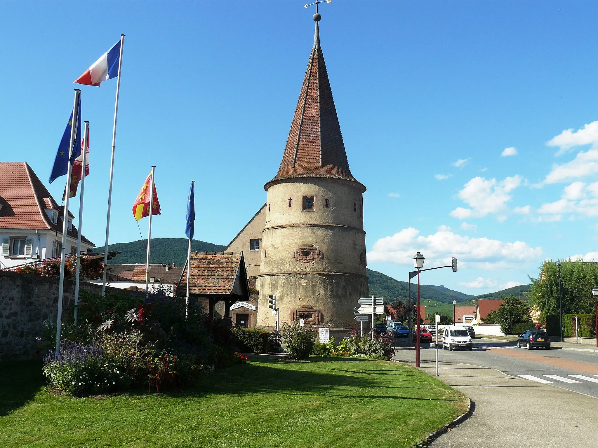
Sainte-Marie-aux-MinesVillageSainte-Marie-aux-Mines is a historic town with well-preserved architecture and a rich mining heritage.
48 km
48 km
Hirzberg1140 mPeakHirzberg is a captivating hill with stunning views of the surrounding valleys and forests.
48 km
48 km
Refuge du HirzbergShelterRefuge du Hirzberg is a mountain refuge offering shelter and tranquility in the heart of the Vosges.
57 km
57 km
Col de Chamont681 mMountain PassCol de Chamont is a challenging climb that rewards cyclists with breathtaking views of the Vosges mountains.
61 km
61 km
Finish: Lapoutroie Village centerLapoutroie: Explore the Wine Country of Alsace on Two Wheels!
Cycling routes from Lapoutroie:
Gravel Adventure in the Vosges Mountains Scenic Gravel Loop in the Vosges Scenic Ride through the Vosges Mountains The Rolling Hills of Alsace Gravel Adventure in the Vosges The Alsace Adventure Discover the Enchanting Beauty of Alsace Alsace Gravel Challenge Exploring the Vineyards and Castles of Alsace The Hidden Gems of the Vosges The Vosges Historic Loop
Cycling routes nearby: