The Challenging Circuit
A road cycling route starting from Lingolsheim
Embark on a challenging road cycling circuit with stunning views
Map
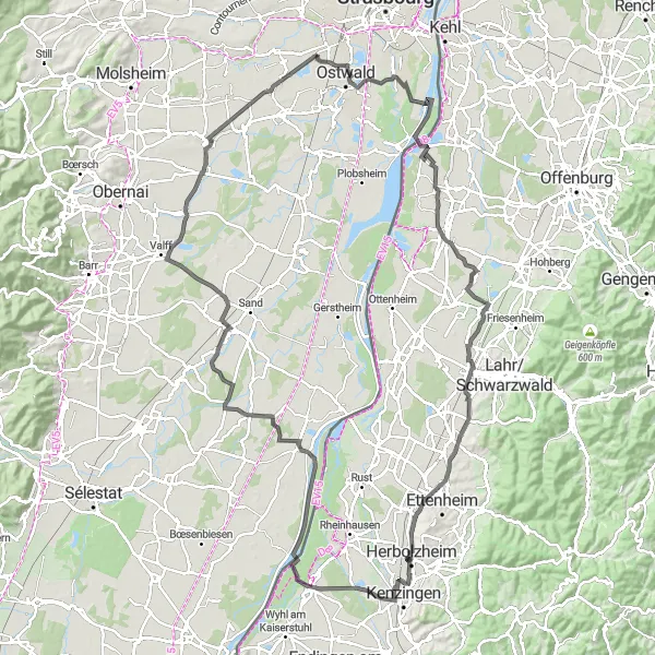
Prepare for a challenging ride through picturesque landscapes and notable towns on this road cycling route near Lingolsheim. Covering a distance of 125 kilometers and ascending 216 meters, this circuit is best suited for experienced cyclists.
road
125 km
216 m
Savage
Route profile
Highlights on the route
0 km
0 km
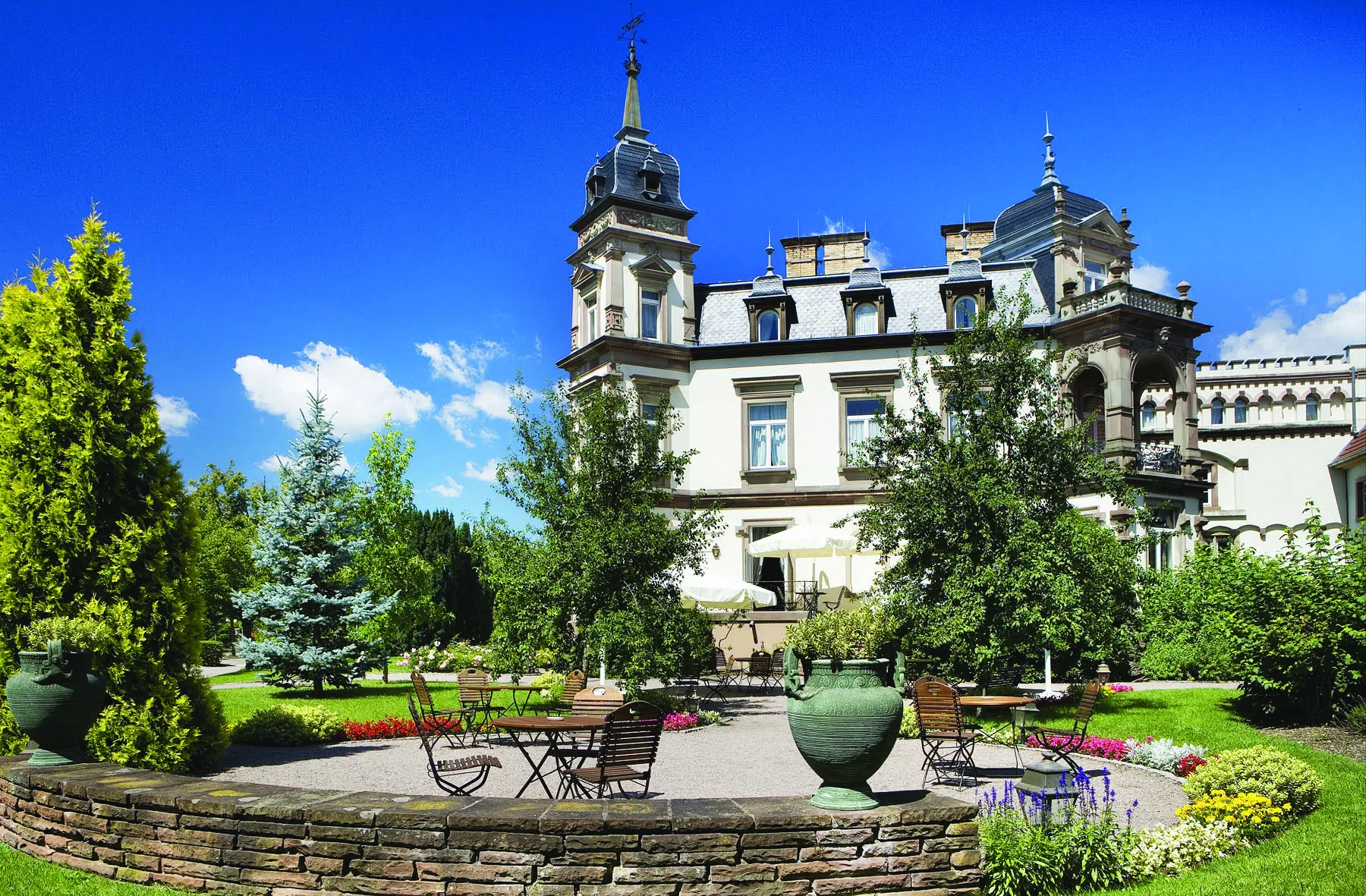
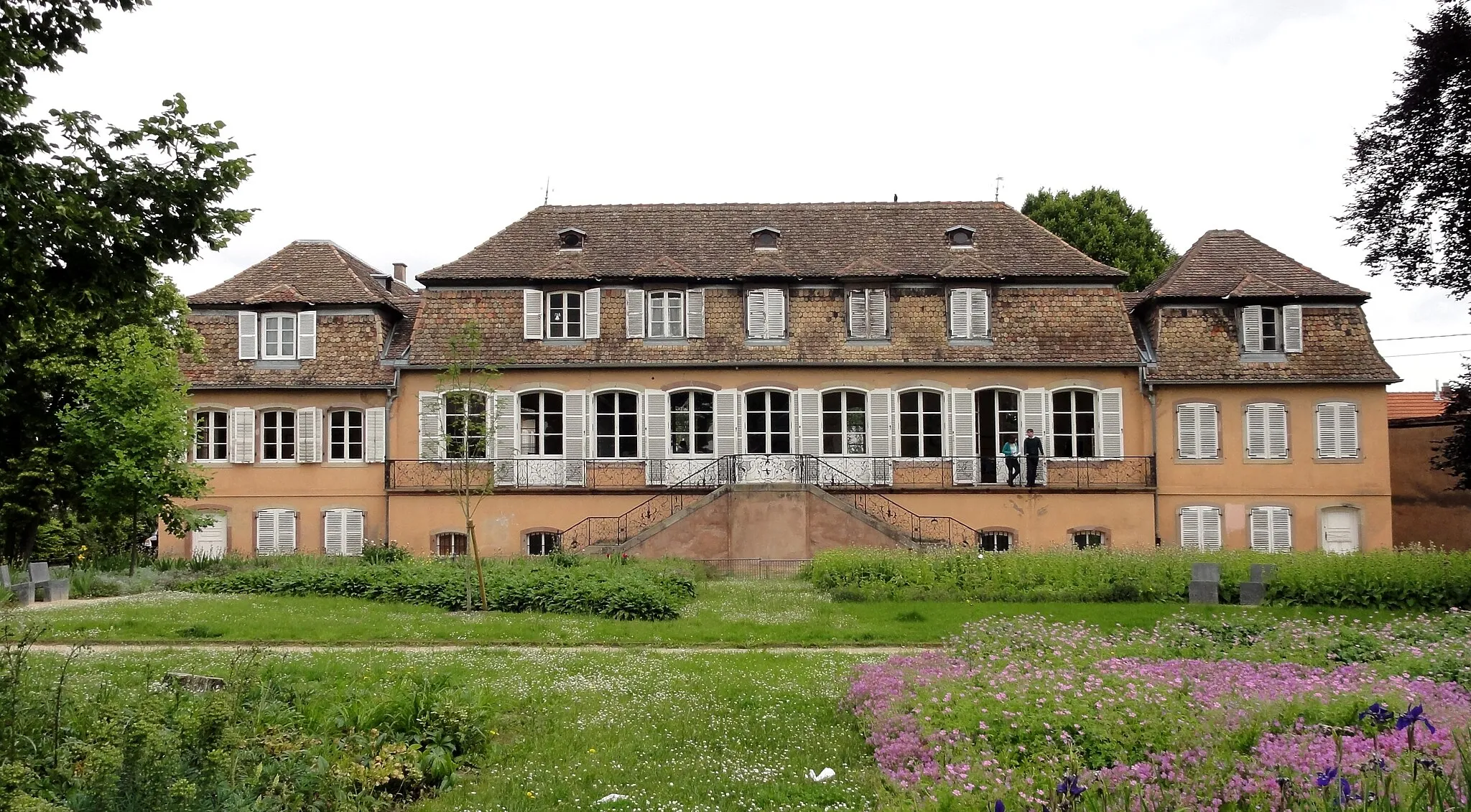
Start: Lingolsheim City centerLingolsheim: Cycle through the stunning landscapes of Alsace in Lingolsheim.
Lingolsheim is a small town located in the Alsace region of France. It offers a variety of cycling routes, ranging from flat, leisurely rides to hilly terrain. The town itself has several cycling-friendly accommodations and amenities, making it a popular choice for cyclists. Nearby, cyclists can visit the famous climb of Col du Grand Ballon, known for its challenging ascent and stunning views of the Vosges Mountains. Overall, Lingolsheim is a great destination for cyclists looking to explore the beauty of the Alsace region.4 km
4 km
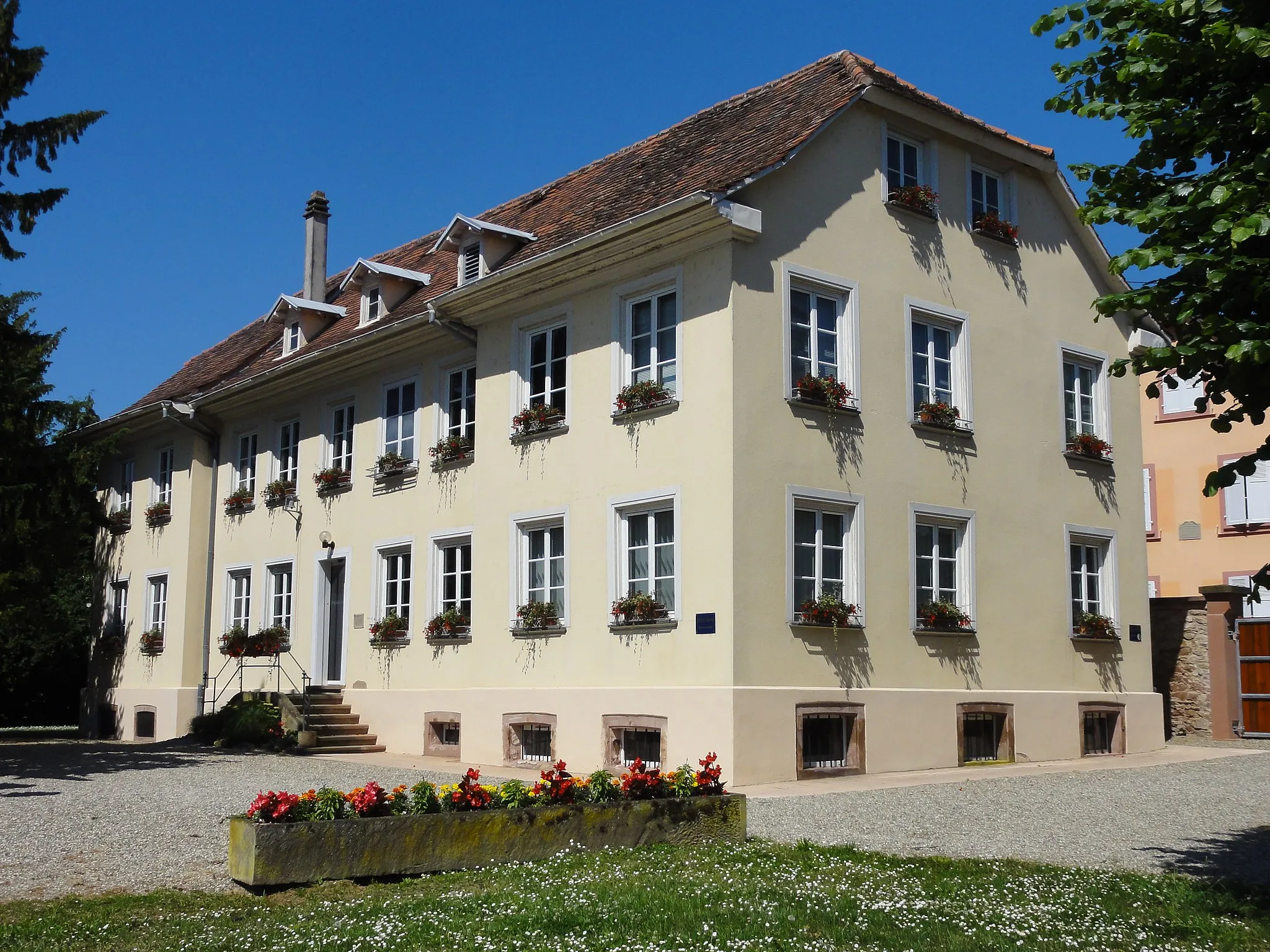
Illkirch-GraffenstadenTownIllkirch-Graffenstaden, located 4 kilometers into the route, is a vibrant town with a fusion of contemporary and historic architecture.
26 km
26 km
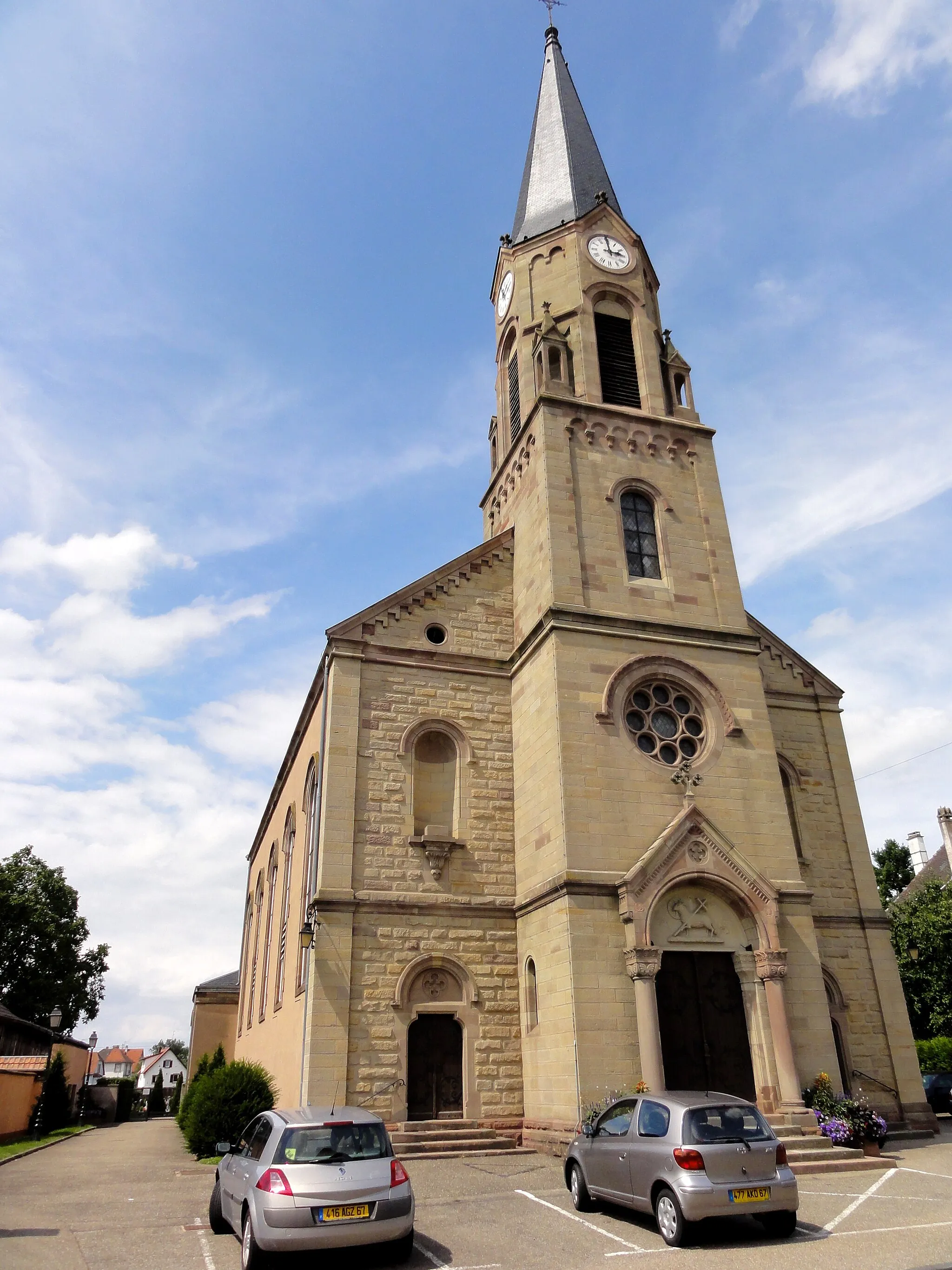
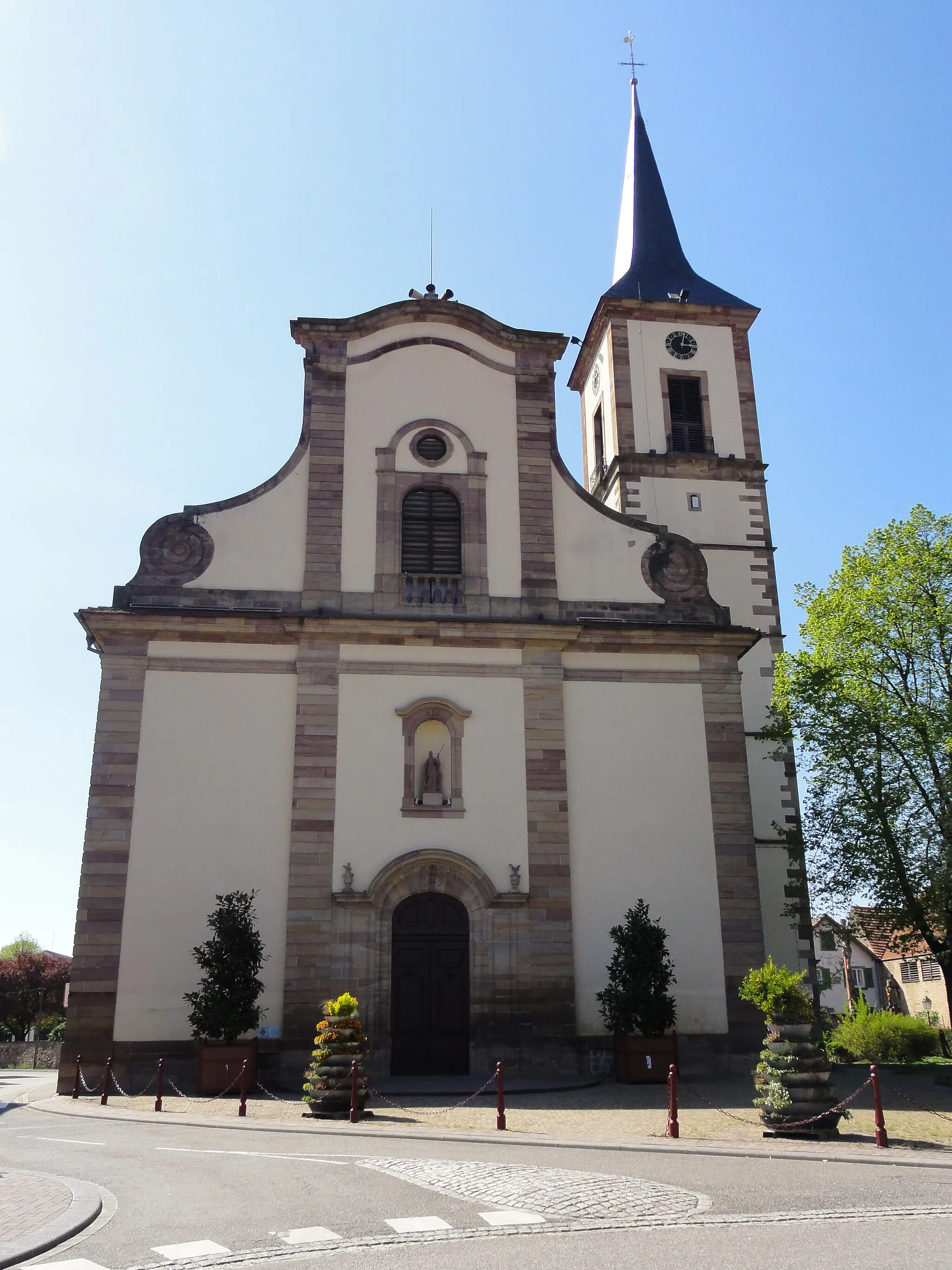
IchenheimVillageIchenheim, at the 26-kilometer mark, is known for its stunning medieval church and beautiful surrounding countryside.
41 km
41 km
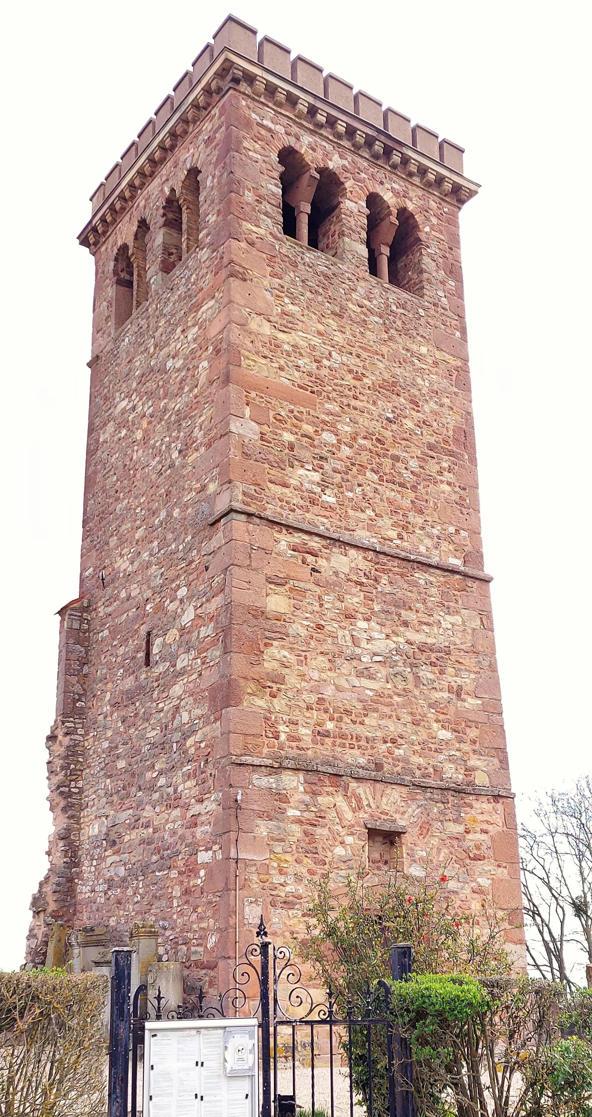
KrähennestViewpointKrähennest, located 41 kilometers from Lingolsheim, offers breathtaking views from its iconic lookout tower.
47 km
47 km
MahlbergVillageMahlberg, standing at 47 kilometers, boasts a well-preserved medieval town center and a picturesque castle.
55 km
55 km
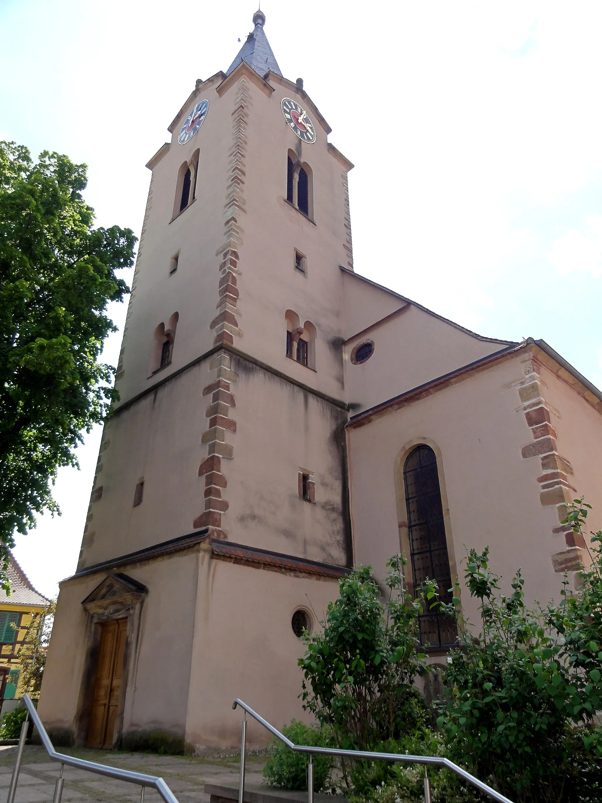
HerbolzheimTownHerbolzheim, at 55 kilometers from the starting point, is famous for its colorful half-timbered houses and idyllic market square.
59 km
59 km
FriedenskreuzViewpointFriedenskreuz, situated at the 59-kilometer mark, is a monument commemorating the peaceful reunification of Germany.
81 km
81 km
DiebolsheimVillageDiebolsheim, located 81 kilometers into the ride, offers stunning natural beauty, including a beautiful forest and charming countryside.
81 km
81 km
Pierrette's GardenViewpointPierrette's Garden, also at 81 kilometers, is a must-visit botanical garden filled with vibrant flowers and serene walking trails.
96 km
96 km
BenfeldVillageBenfeld, at 96 kilometers, is a charming town with well-preserved medieval architecture and a picturesque river.
112 km
112 km
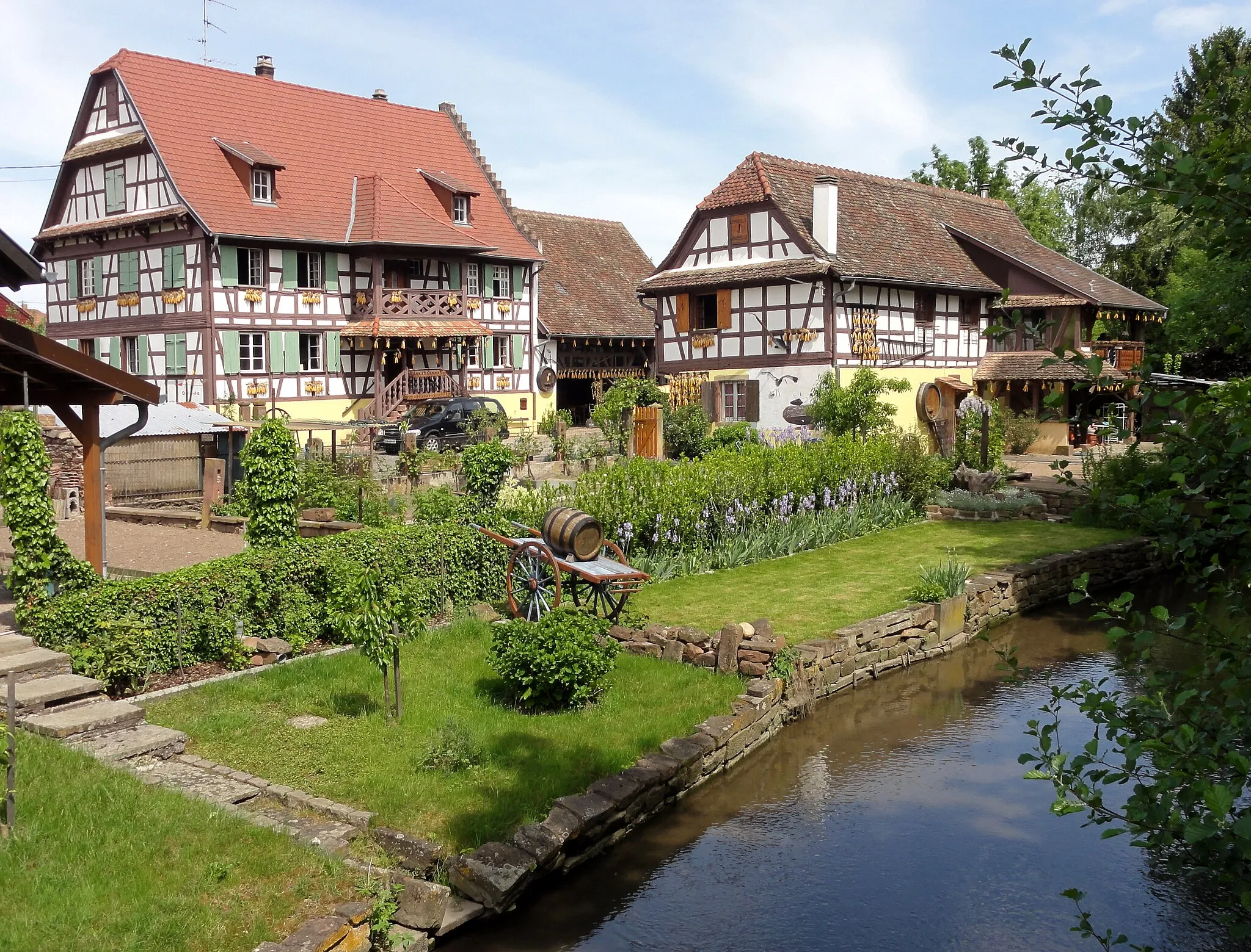
KrautergersheimVillageKrautergersheim, located 112 kilometers from Lingolsheim, is known for its picturesque vineyards and traditional Alsatian charm.
117 km
117 km
Gloeckelsberg199 mPeakAt the 117-kilometer point, you'll reach Gloeckelsberg, where you can enjoy panoramic views of the surrounding countryside.
125 km
125 km
BernsteinCastleBernstein, your final highlight just before completing the circuit, is famous for its well-preserved medieval castle and enchanting atmosphere.
125 km
125 km
Finish: Lingolsheim City centerLingolsheim: Cycle through the stunning landscapes of Alsace in Lingolsheim.
Cycling routes from Lingolsheim:
The Gravel Loop The Route of A Thousand Towns Off-Road Adventure through Picturesque Villages Strasbourg City Escape The Scenic Road Journey The Gravel Adventure The Wine Route of Alsace The Challenging Circuit Scenic Tour of Strasbourg and Beyond The Alsace Adventure Road Cycling to Geispolsheim, Bolsenheim, Bernardswiller, Molsheim, and Hangenbieten Road Cycling to Entzheim, Hindisheim, Matzenheim, Sélestat, Rotenberg, Saint-Pierre-Bois, Bœrsch, Molsheim, and Achenheim Road Cycling to Toit du Parking Wodli, Strasbourg, Bodersweier, Appenweier, Goldscheuer, and Illkirch-Graffenstaden
Cycling routes nearby: