The Hidden Gems Gravel Tour
A gravel cycling route starting from Reguisheim
Uncover the hidden gems of Alsace in this captivating gravel tour
Map
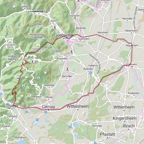
Embark on a gravel tour that spans 61 km with a total ascent of 1019 m, revealing the hidden gems of Alsace. Begin your journey at Staffelfelden, a picturesque village located 13 km into the route. Immerse yourself in the charm of Thann, a historic town known for its captivating architecture, 26 km into the ride. Take a moment to appreciate the stunning panoramic views offered by Grumbachkopf at the 30th kilometer. Conquer the challenging climb of Col Amic at the 38th kilometer before descending into Guebwiller, a town nestled amidst vineyards. Conclude your adventure in Merxheim, a beautiful village that marks the end of a memorable gravel tour.
gravel
61 km
1019 m
Tough
Route profile
Highlights on the route
0 km
0 km
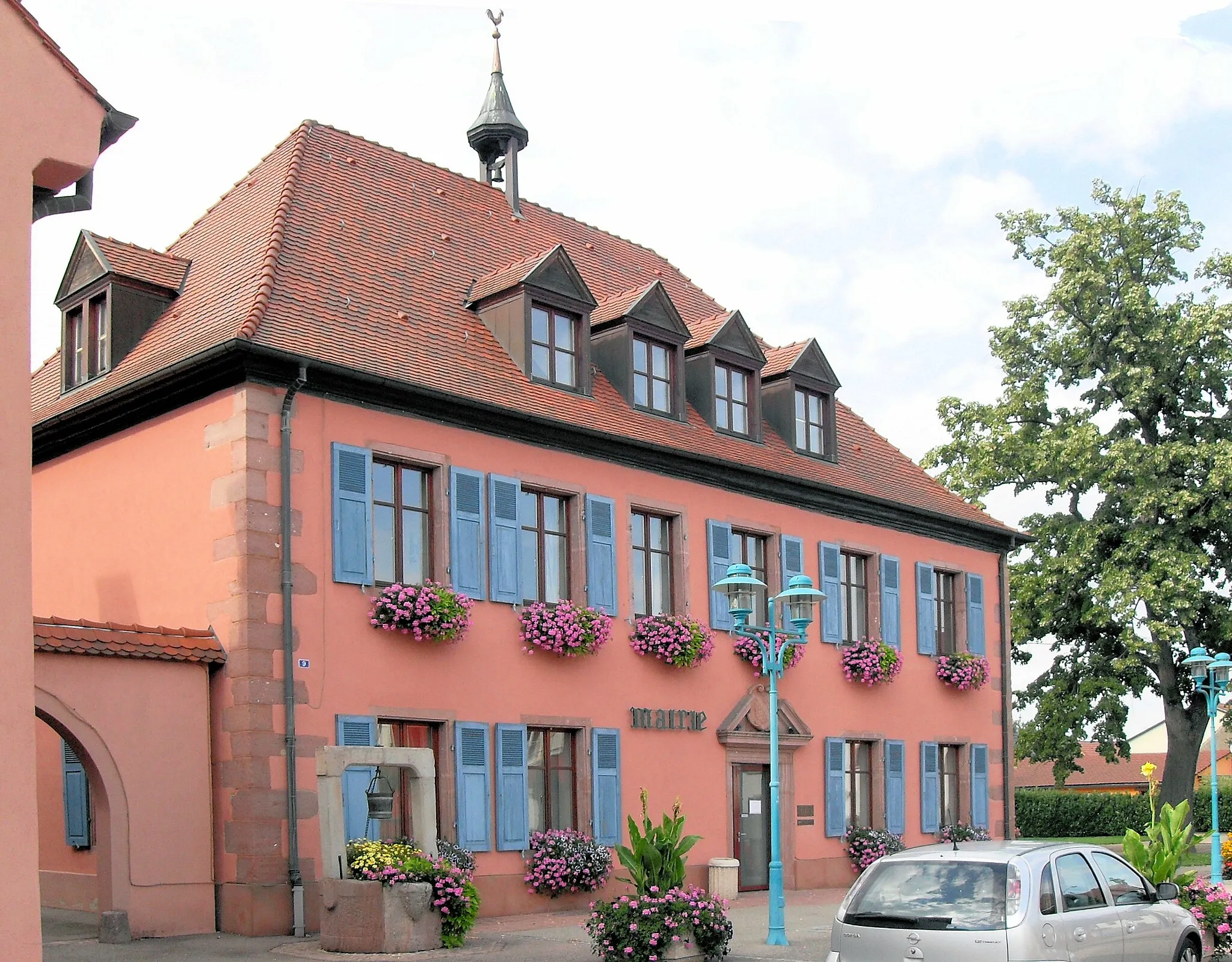
Start: Réguisheim Village centerRéguisheim: Cyclist-friendly locality with easy access to the famous Grand Ballon climb.
Réguisheim is a locality located in Alsace, France. From a cyclist's perspective, it offers a mix of rural roads and small highways. The terrain is mostly flat, making it suitable for relaxed rides or beginners. One notable nearby cycling spot is the Grand Ballon, a well-known climb with beautiful views from the top. Réguisheim itself may not be a significant tourist destination, but it serves as a tranquil base for exploring the surrounding region on two wheels. Overall, it is a cyclist-friendly locality with easy access to the famous Grand Ballon climb.13 km
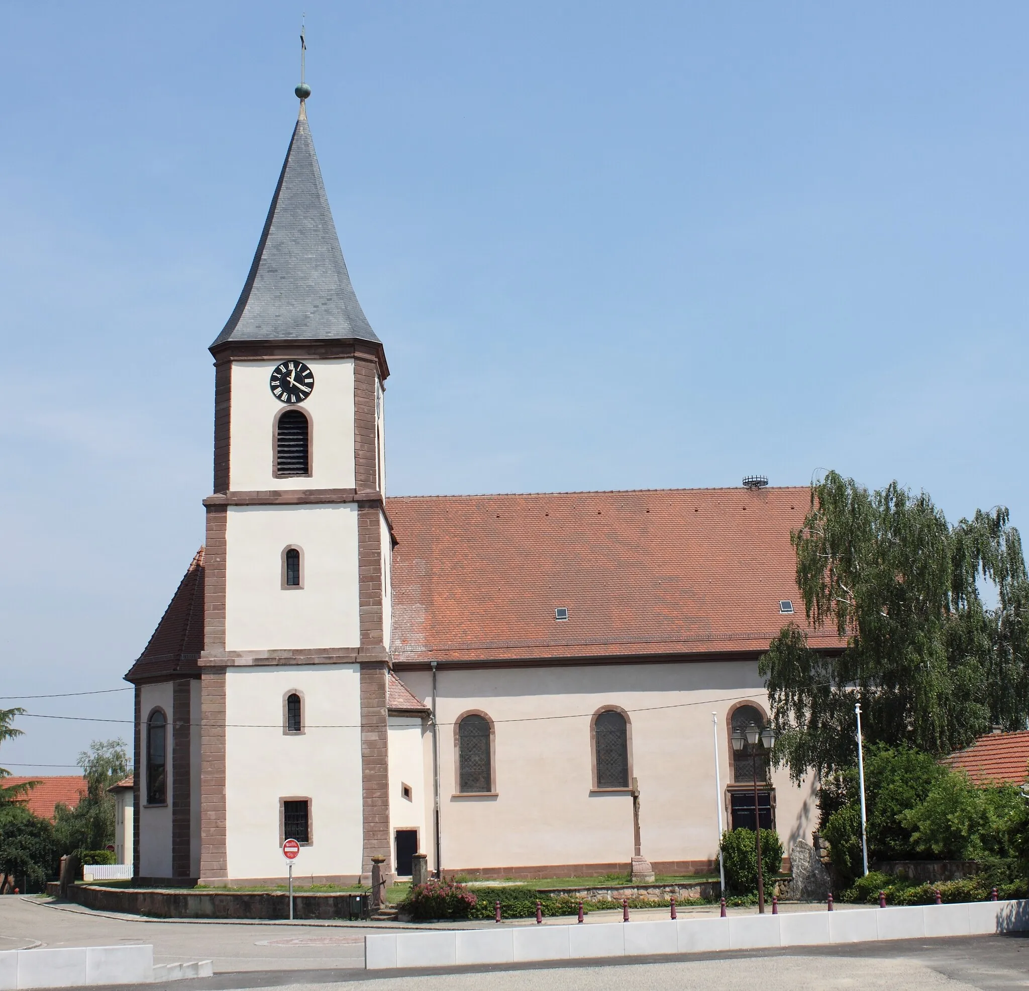
13 km
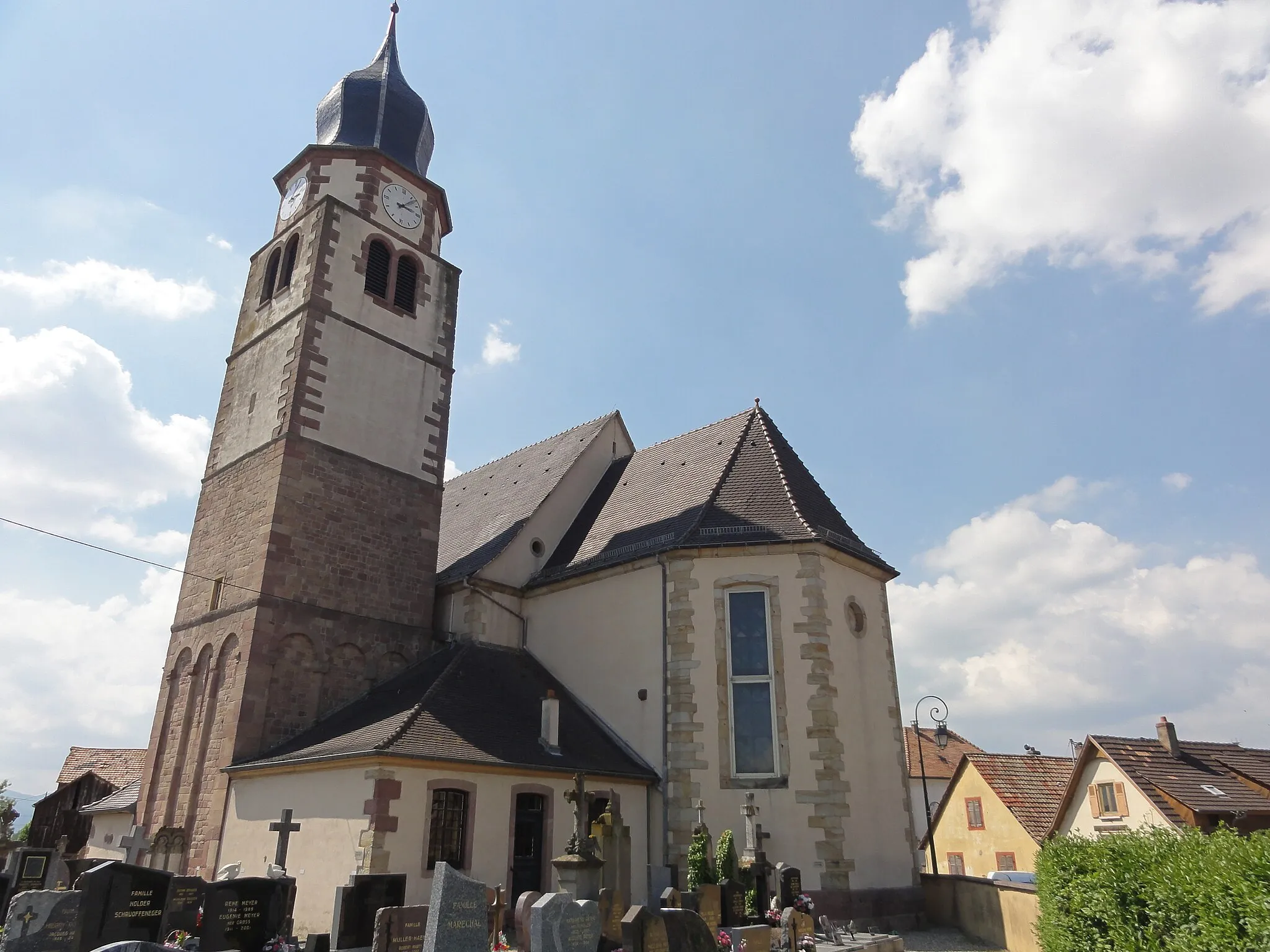
StaffelfeldenVillageStaffelfelden sets the stage for your gravel tour, offering glimpses of the beauty that lies ahead as you venture deeper into Alsace.
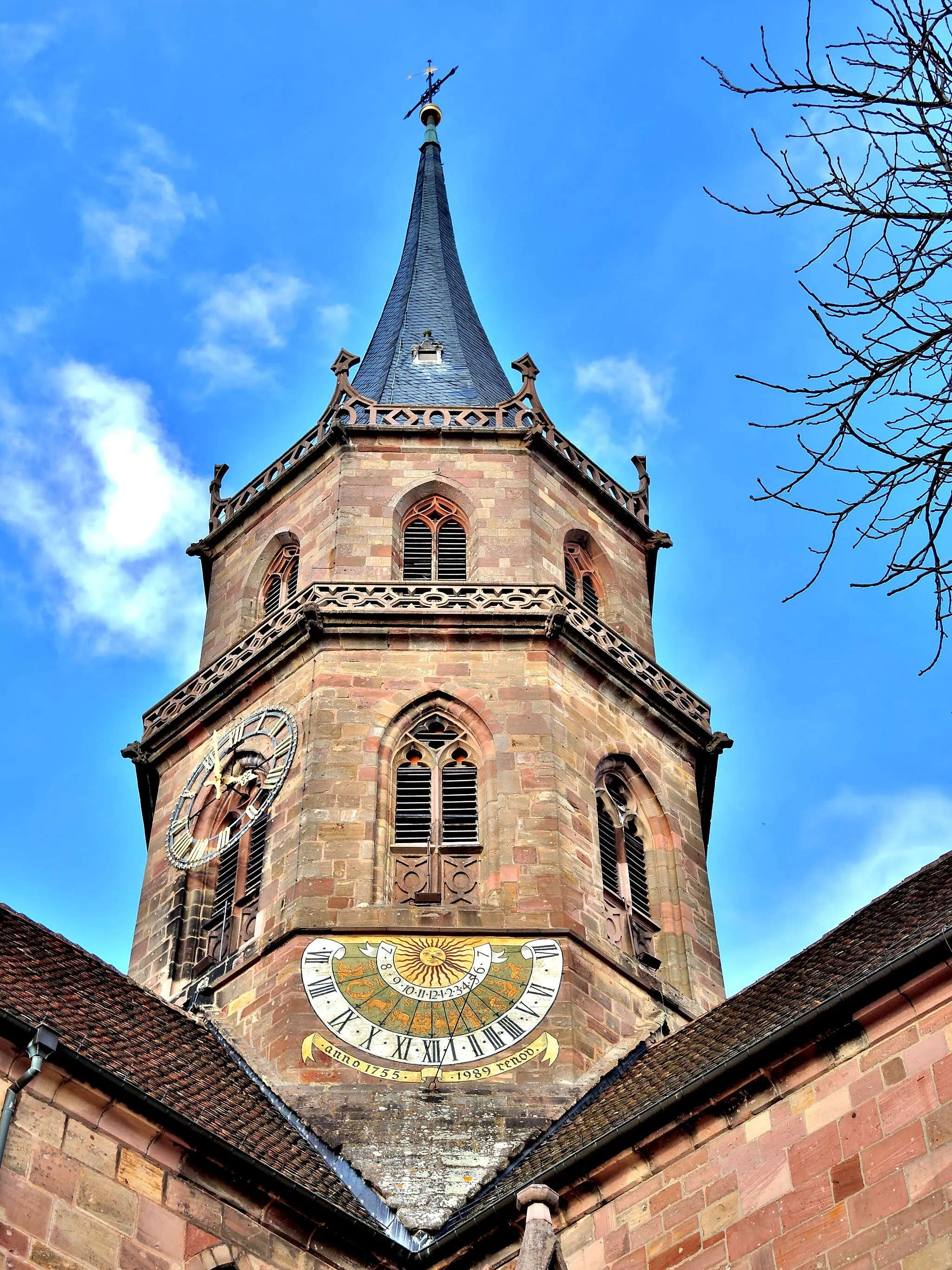
26 km
26 km
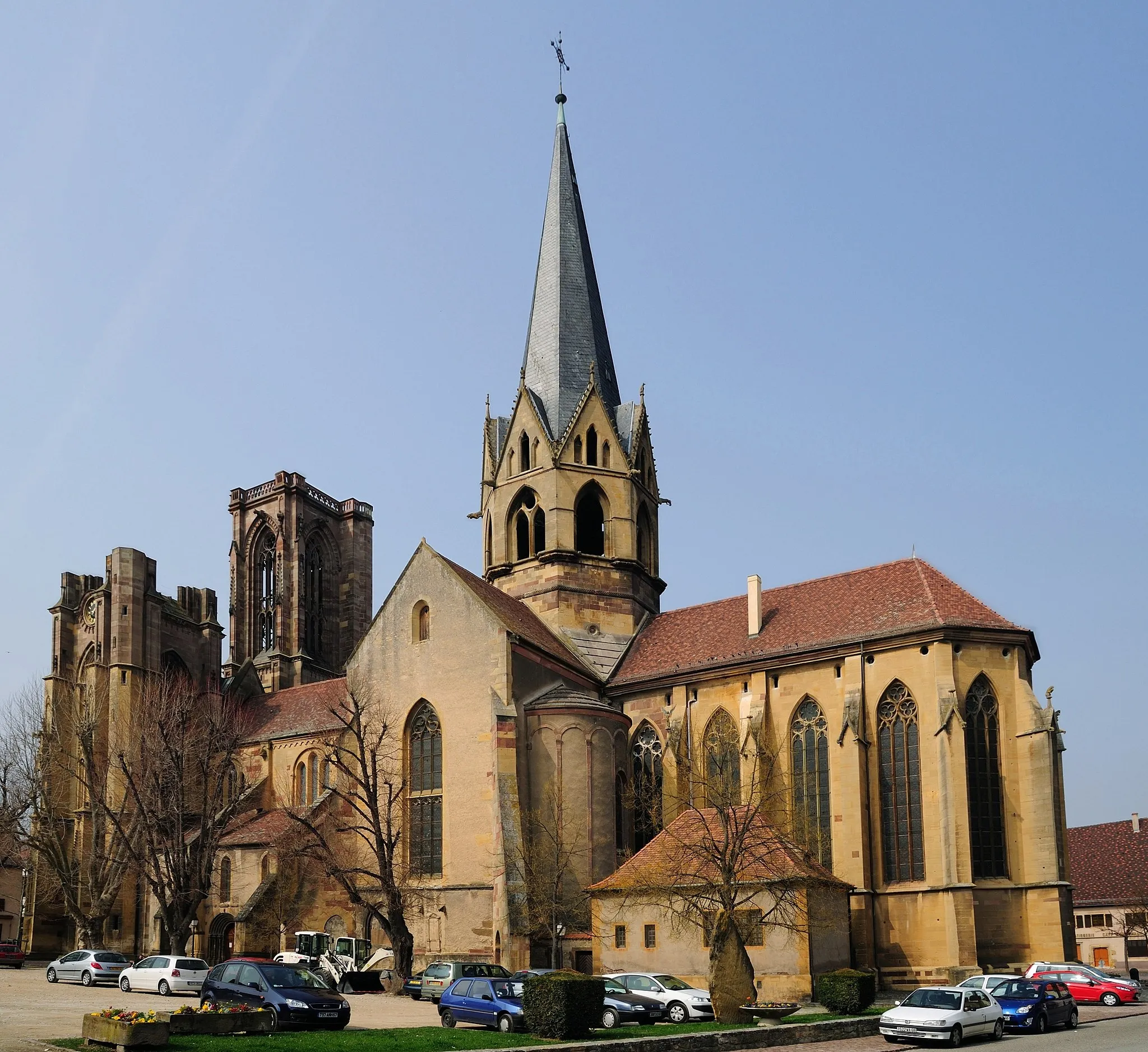
ThannTownThann embodies the spirit of Alsace with its historic architecture, picturesque streets, and captivating ambiance.
30 km
30 km
Grumbachkopf674 mPeakGrumbachkopf rewards cyclists with impressive panoramic views, allowing them to admire the beauty of their surroundings.
38 km
38 km
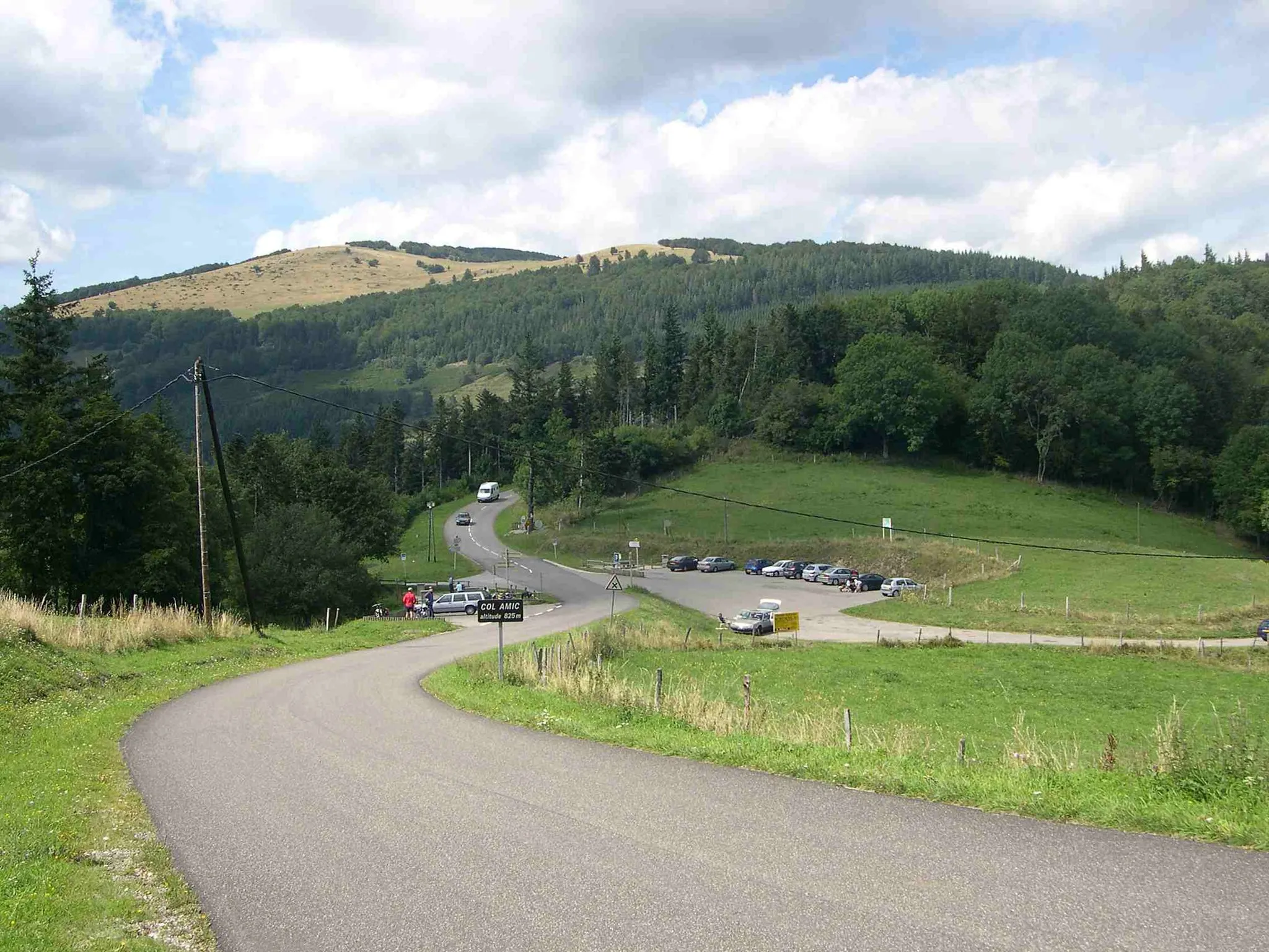
Col Amic828 mMountain PassCol Amic presents a challenging climb, testing the limits of cyclists and rewarding them with a sense of achievement upon reaching the summit.
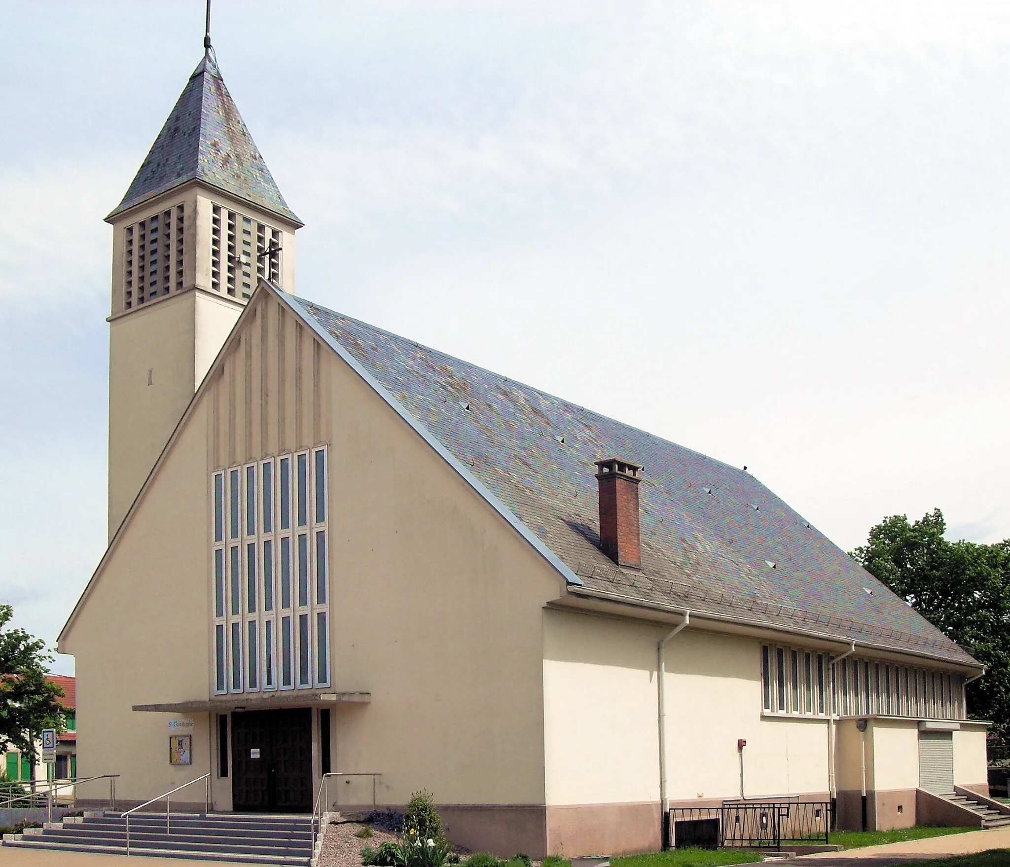
48 km
48 km
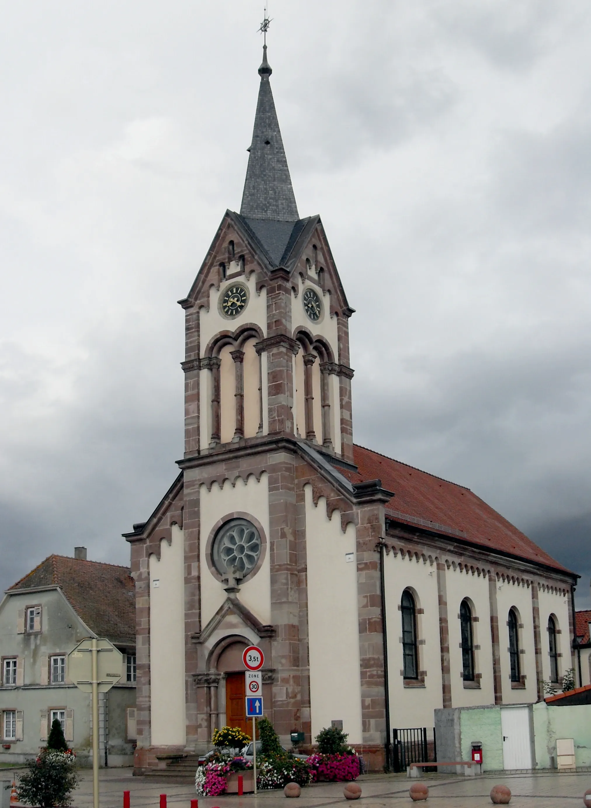
GuebwillerTownGuebwiller welcomes cyclists with beautiful vineyards and a rich cultural heritage, offering a refreshing change of scenery along the route.
55 km
55 km
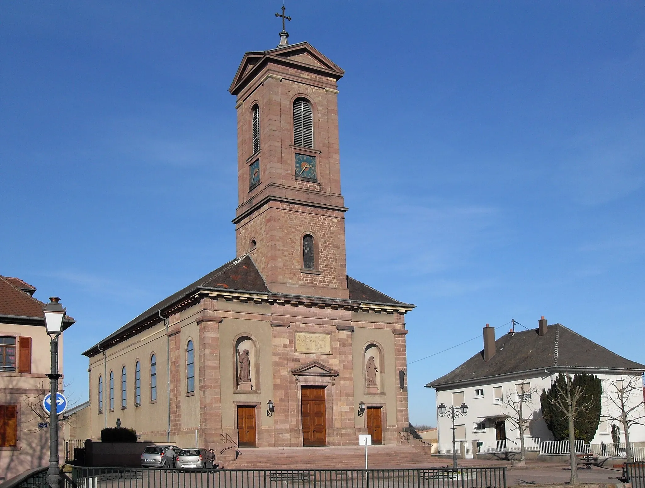
MerxheimVillage61 km
61 km
Finish: Réguisheim Village centerRéguisheim: Cyclist-friendly locality with easy access to the famous Grand Ballon climb.
Cycling routes nearby: