Prémilhat to Désertines
A gravel cycling route starting from Desertines
Immerse yourself in the natural beauty of Prémilhat and the tranquility of Désertines
Map
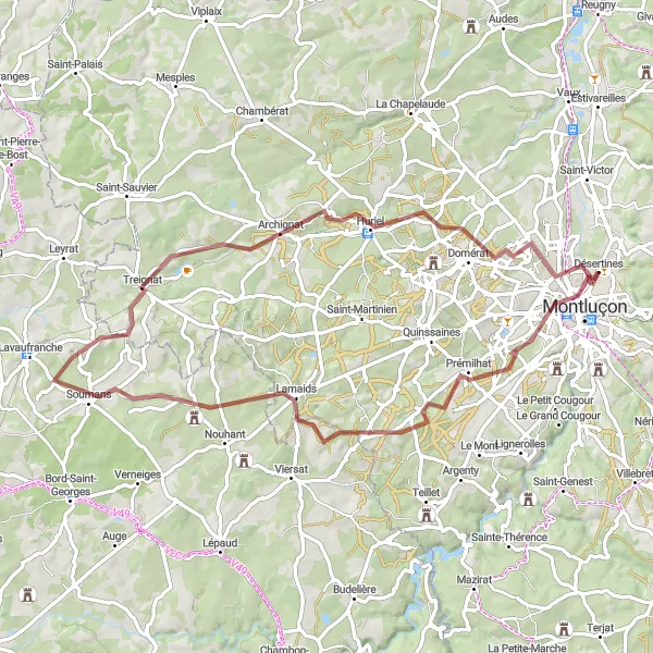
This gravel cycling route takes you through scenic landscapes, offering a truly immersive natural beauty experience. Starting from Prémilhat and ending in Désertines, this 69-kilometer route has an ascent of 655 meters and is suitable for well-trained amateur cyclists. The highlights along the route include Prémilhat with its picturesque surroundings, the charming village of Lamaids, the tranquil village of Treignat, the historic town of Huriel, and finally Désertines, known for its peaceful atmosphere and rural charm.
gravel
69 km
655 m
Chill
Route profile
Highlights on the route
0 km
0 km
Start: Désertines Village centerDésertines: Leisurely cycling in Désertines, Auvergne
Désertines, located in the Auvergne region of France, offers pleasant cycling routes through beautiful landscapes. The area features gentle hills and rural roads, making it a suitable destination for leisurely cycling trips. A popular nearby climb is the Puy Mary, attracting both road and gravel cyclists. Overall, Désertines earns a rank of 3 for its enjoyable cycling opportunities.9 km
9 km
PrémilhatVillagePrémilhat, located 9 kilometers into the route, offers stunning natural beauty with its sprawling forests and scenic trails.
21 km
21 km
LamaidsVillageLamaids, situated at a distance of 21 kilometers, is a quaint village known for its traditional wooden houses and rural charm.
41 km
41 km
TreignatVillageTreignat, 41 kilometers into the route, is a tranquil village surrounded by rolling hills and picturesque landscapes.
48 km
48 km
ArchignatVillageArchignat, at a distance of 48 kilometers, is a small village known for its beautiful old stone houses and peaceful atmosphere.
54 km
54 km
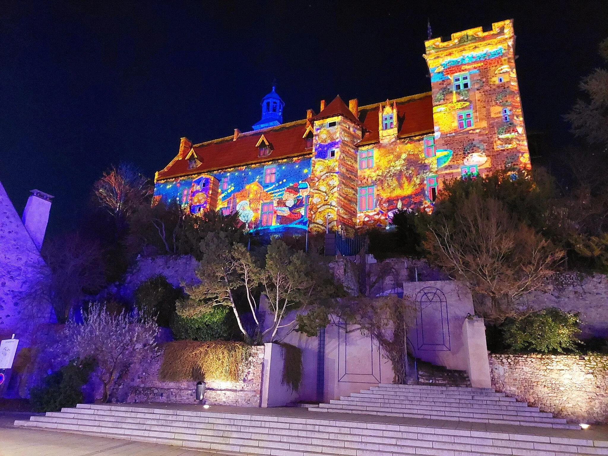
HurielVillageHuriel, located 54 kilometers along the route, is a historic town famous for its medieval castle and charming streets.
60 km
60 km
DomératVillageDomérat, known for its traditional way of life and scenic countryside, is situated 60 kilometers into the route.
69 km
69 km
DésertinesVillageFinally, after covering a total distance of 69 kilometers, you will reach Désertines, a picturesque village that exudes tranquility and offers a serene countryside experience.
69 km
69 km
Finish: Désertines Village centerDésertines: Leisurely cycling in Désertines, Auvergne
Cycling routes from Desertines:
Cycling routes nearby: