Deneuille-les-Mines to Montluçon
A road cycling route starting from Desertines
Experience the charm of Deneuille-les-Mines and notable landmarks in Montluçon
Map
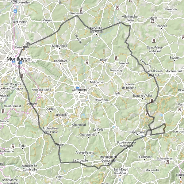
This road cycling route takes you through picturesque landscapes and allows you to explore the historic town of Montluçon. With a total distance of 98 kilometers and an ascent of 1171 meters, this route is suitable for well-trained amateur cyclists. The scenic highlights along the route include Deneuille-les-Mines, Saint-Bonnet-de-Four with its charming village atmosphere, Buxières-sous-Montaigut, Arpheuilles-Saint-Priest, and finally Montluçon, known for its medieval castle and beautiful old town.
road
98 km
1171 m
Tough
Route profile
Highlights on the route
0 km
0 km
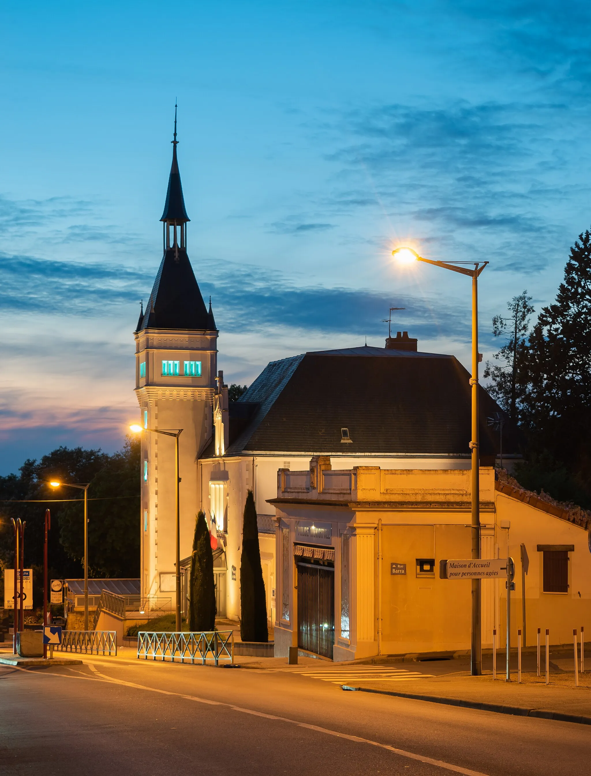
Start: Désertines Village centerDésertines: Leisurely cycling in Désertines, Auvergne
Désertines, located in the Auvergne region of France, offers pleasant cycling routes through beautiful landscapes. The area features gentle hills and rural roads, making it a suitable destination for leisurely cycling trips. A popular nearby climb is the Puy Mary, attracting both road and gravel cyclists. Overall, Désertines earns a rank of 3 for its enjoyable cycling opportunities.17 km
17 km
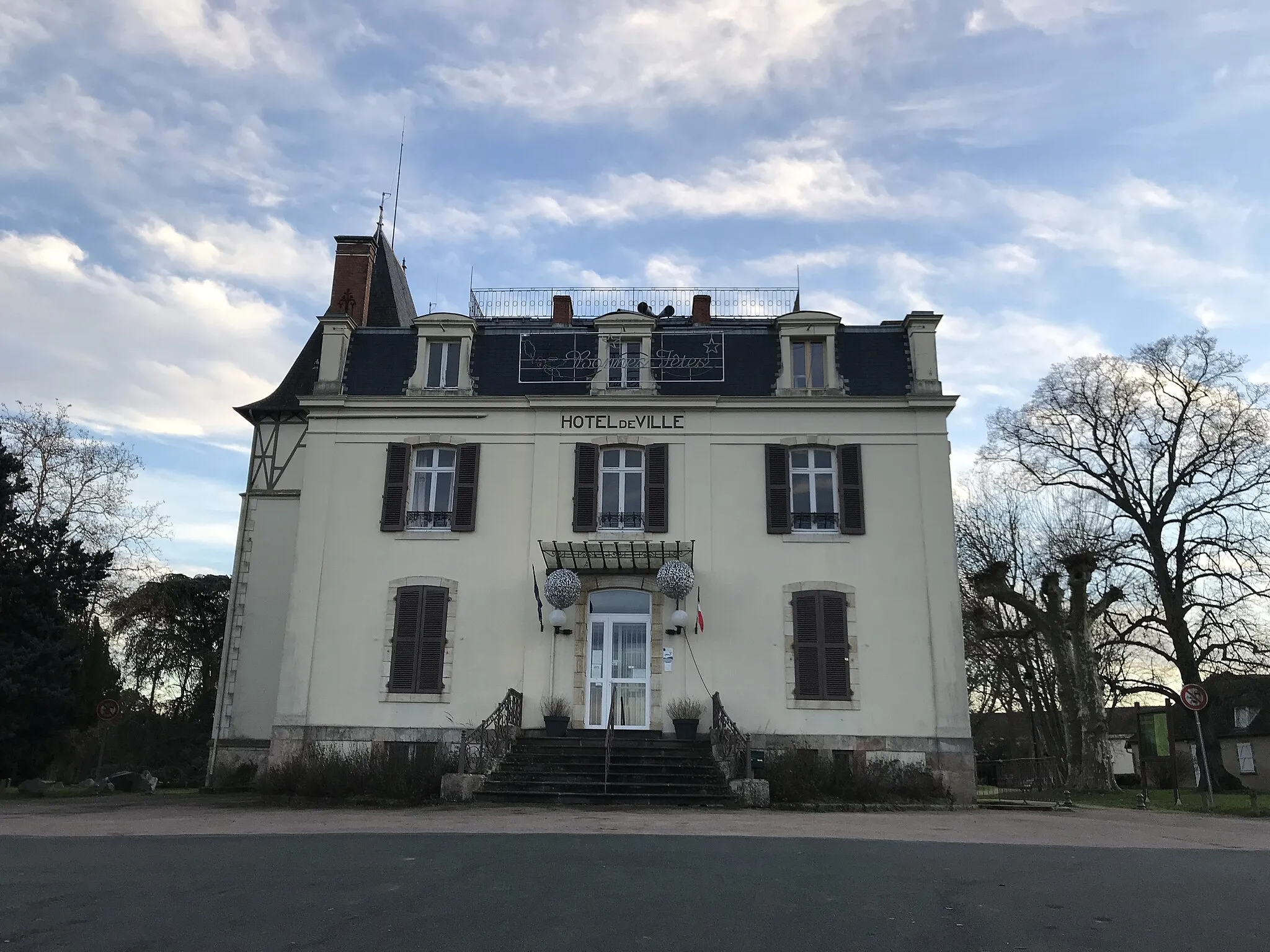
Deneuille-les-MinesVillageLocated at a distance of 17 kilometers, Deneuille-les-Mines offers a quaint setting with its rich mining history and well-preserved architecture.
36 km
36 km
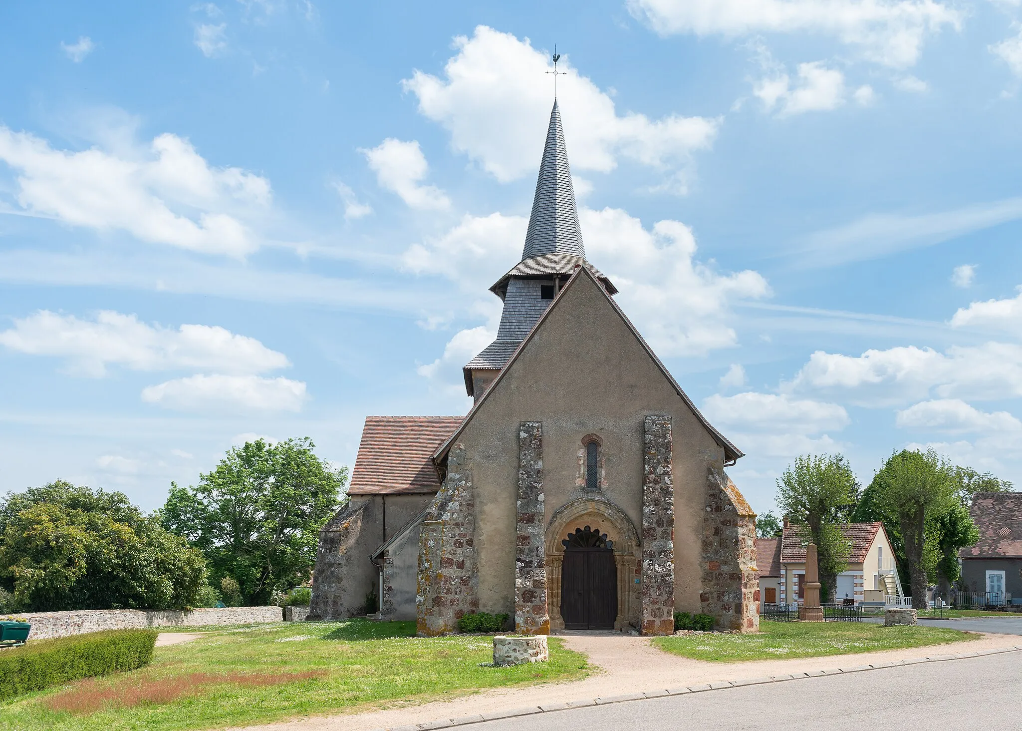
Saint-Bonnet-de-FourVillageSaint-Bonnet-de-Four, situated 36 kilometers along the route, is a charming village known for its traditional market and traditional French way of life.
61 km
61 km
Buxières-sous-MontaigutVillageBuxières-sous-Montaigut, at a distance of 61 kilometers, is a picturesque town surrounded by lush green fields and offers a calm and peaceful atmosphere.
81 km
81 km
Arpheuilles-Saint-PriestVillageArpheuilles-Saint-Priest is located 81 kilometers into the route, and it is known for its scenic beauty, with rolling hills and open countryside.
96 km
96 km
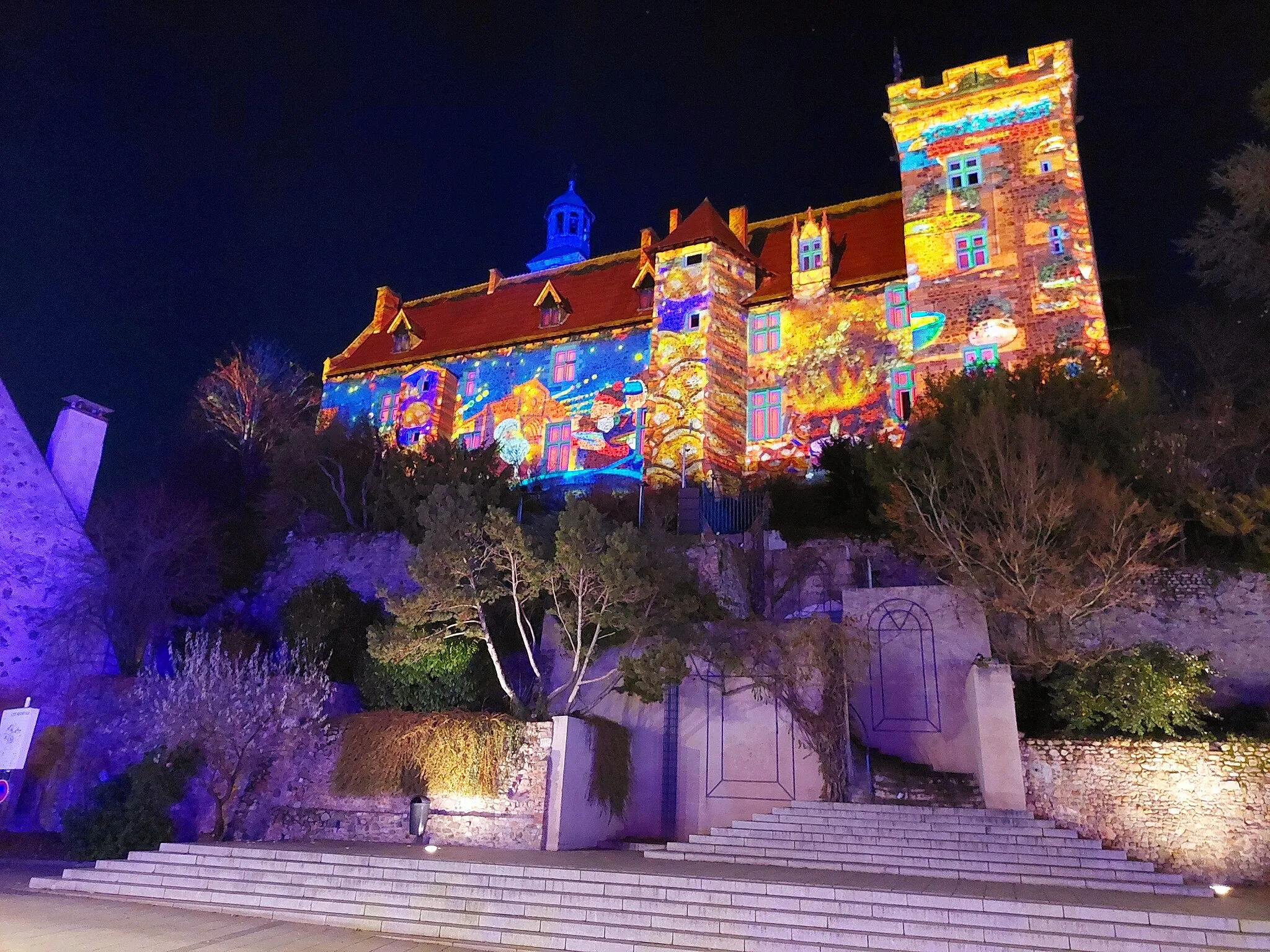
MontluçonTownFinally, after covering a total distance of 96 kilometers, you will arrive at Montluçon, a historic town famous for its medieval castle and charming old quarter.
98 km
98 km
Finish: Désertines Village centerDésertines: Leisurely cycling in Désertines, Auvergne
Cycling routes from Desertines:
Cycling routes nearby: