Fontaine-le-Pin to Bons-Tassilly Gravel Cycling Route
A gravel cycling route starting from Potigny
Embark on a thrilling off-road adventure from Fontaine-le-Pin to Bons-Tassilly and discover the hidden gems of Basse-Normandie.
Map
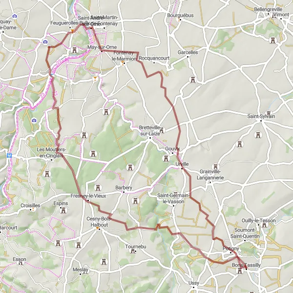
This gravel cycling route offers riders a mix of adventure and natural beauty, from Fontaine-le-Pin to Bons-Tassilly. Cyclists will encounter picturesque landscapes and charming villages such as Mutrécy and May-sur-Orne along the way. The route finishes in Bons-Tassilly, a tranquil village renowned for its stunning landscapes. With a difficulty rating of 3 and an epicness rating of 2, this off-road route provides a balanced challenge for gravel enthusiasts.
gravel
59 km
493 m
Tough
Route profile
Highlights on the route
0 km
0 km
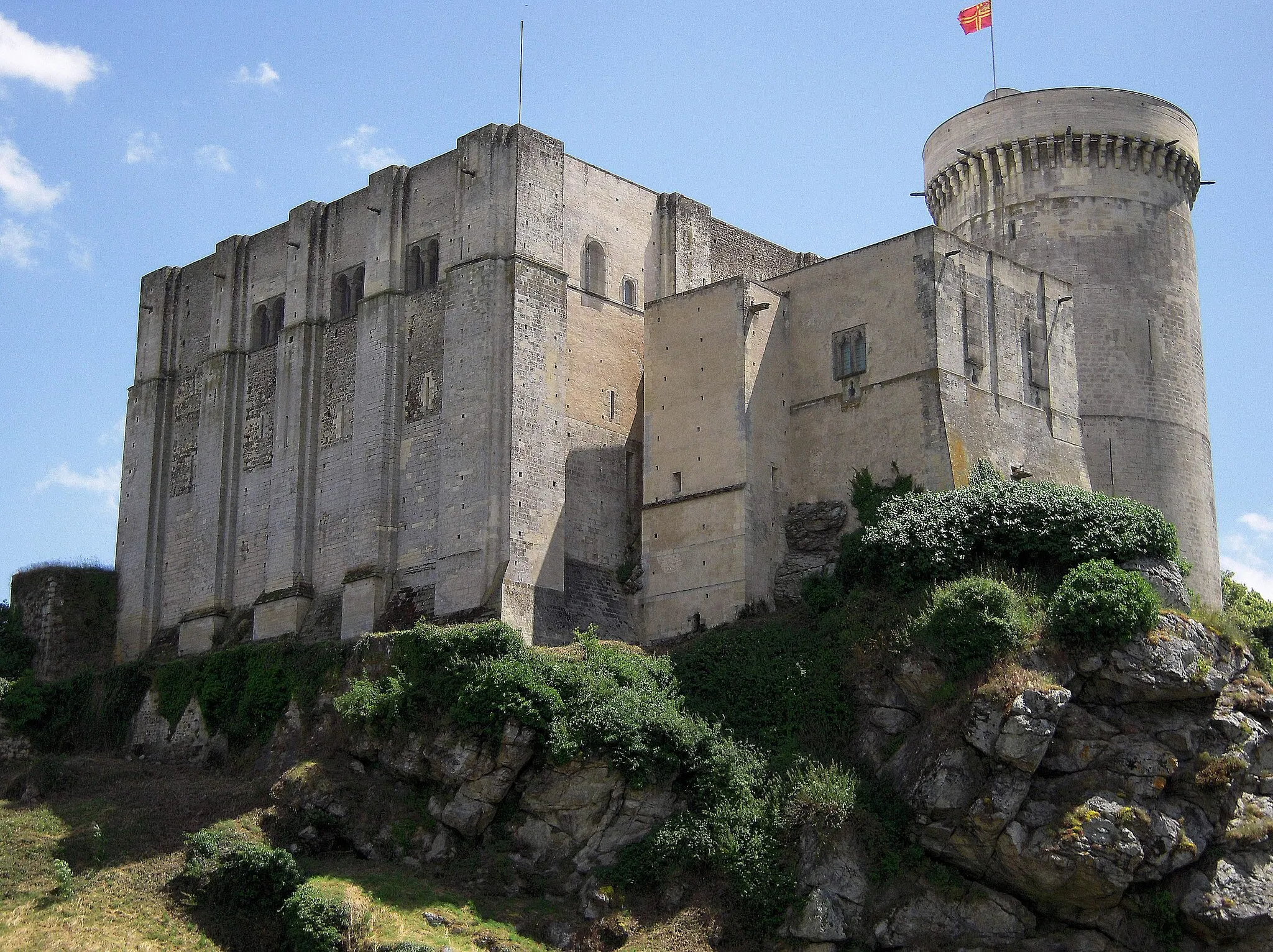
Start: Bons-Tassilly Village centerPotigny: Exploring the scenic landscapes of Basse-Normandie
Potigny is a small town located in Basse-Normandie, France. As a cyclist, Potigny provides a charming and peaceful setting for road and gravel cycling. The roads in the area are well-maintained, offering smooth surfaces for a pleasant ride. While there may not be any famous cycling-related spots or well-known climbs in the immediate vicinity of Potigny, the surrounding region of Basse-Normandie offers opportunities for scenic rides through picturesque countryside and quaint villages. Cyclists can enjoy the beautiful landscapes and discover hidden gems of the Normandy region.4 km
4 km
Fontaine-le-PinVillageStart your gravel adventure in the picturesque village of Fontaine-le-Pin.
11 km
11 km
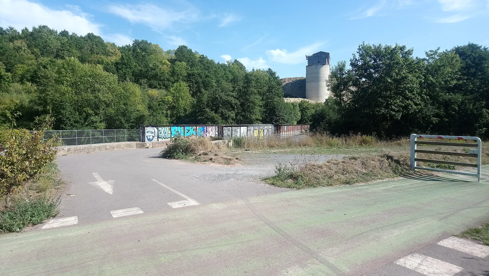
Fontaine-HalboutHamletDiscover the hidden gem of Fontaine-Halbout, a small village surrounded by natural beauty.
23 km
23 km
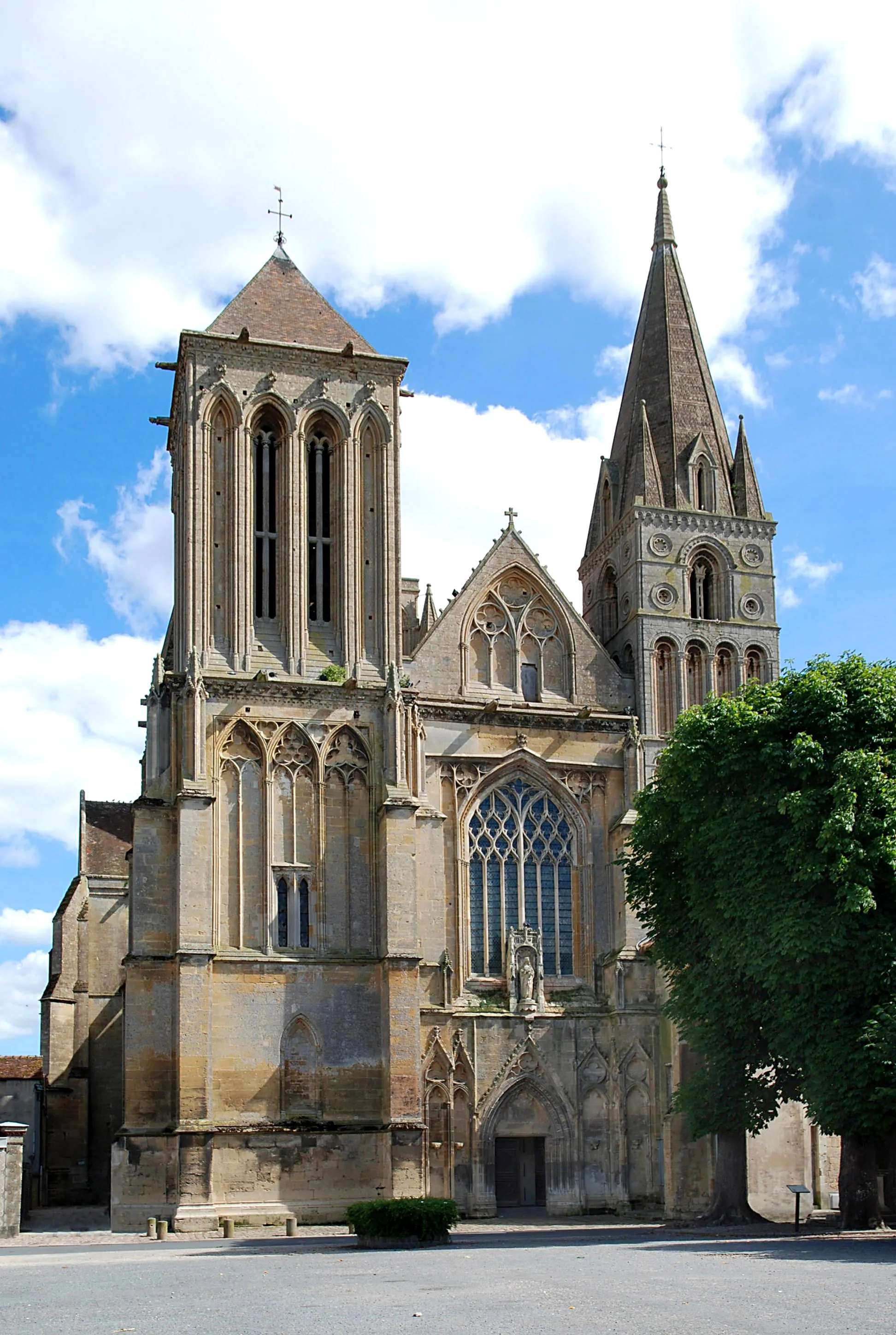
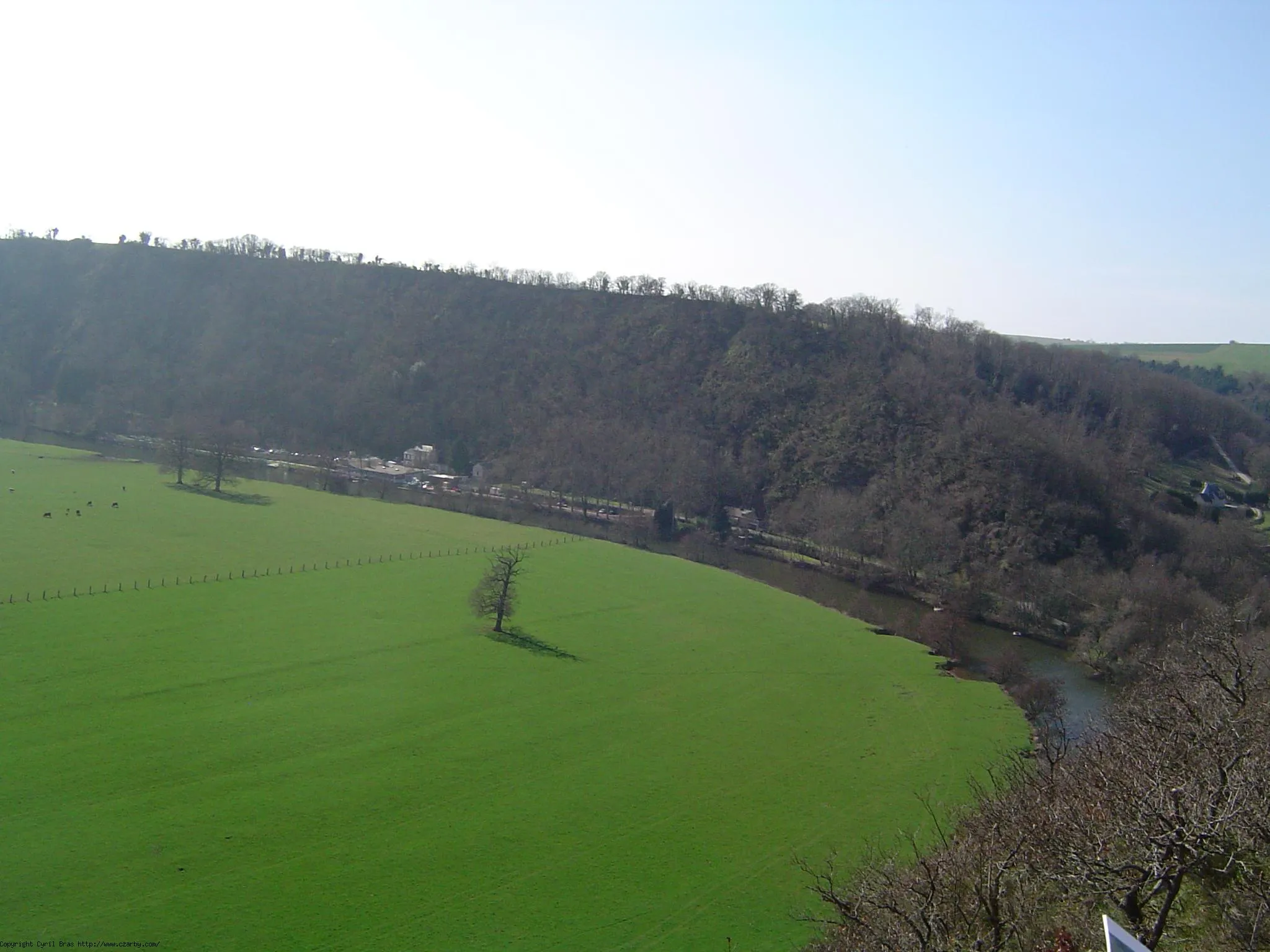
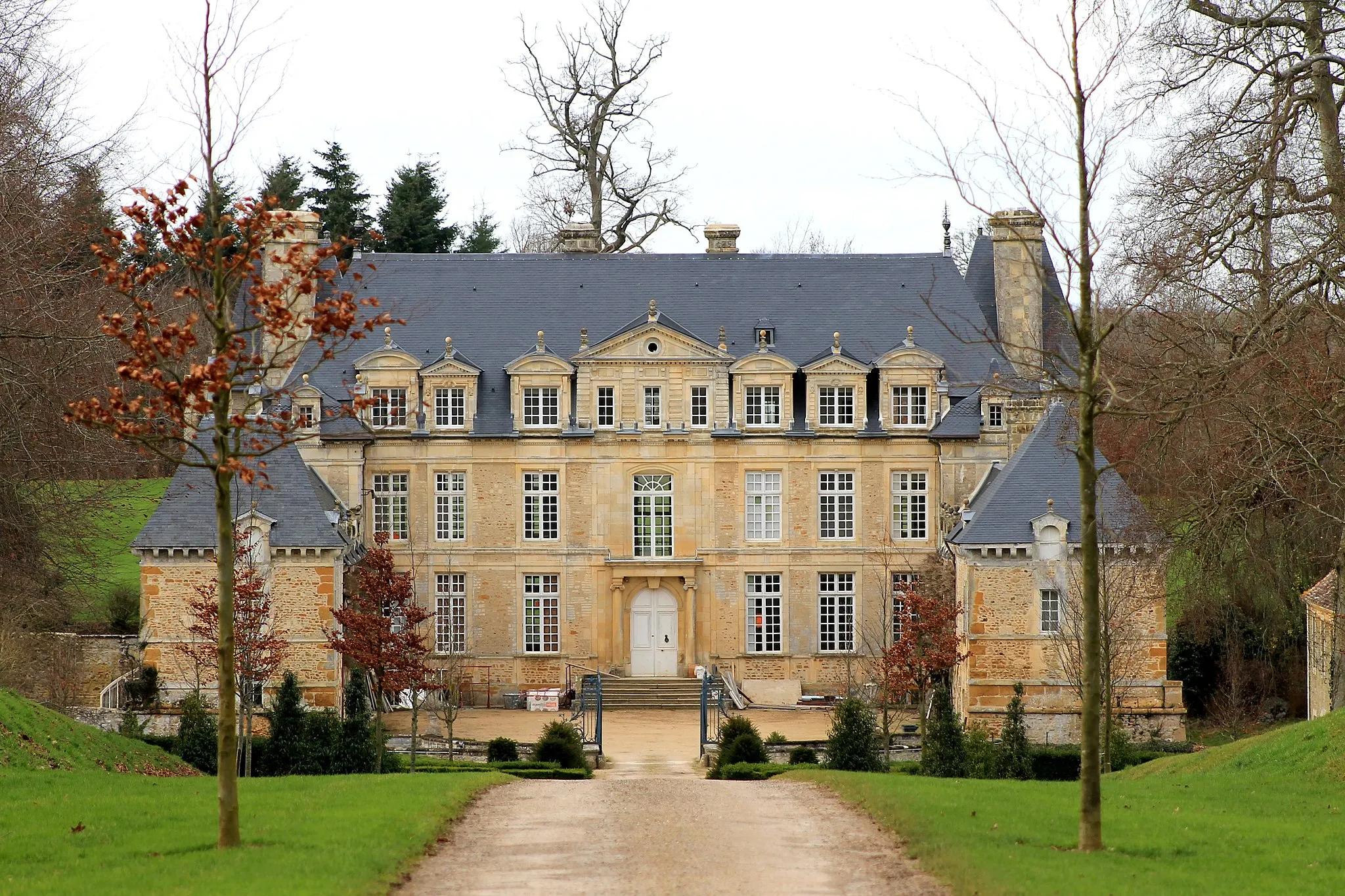
MutrécyVillagePass through the scenic village of Mutrécy and immerse yourself in the idyllic Normandy countryside.
35 km
35 km
May-sur-OrneVillageRide through May-sur-Orne, known for its picturesque river and charming landscapes.
48 km
48 km
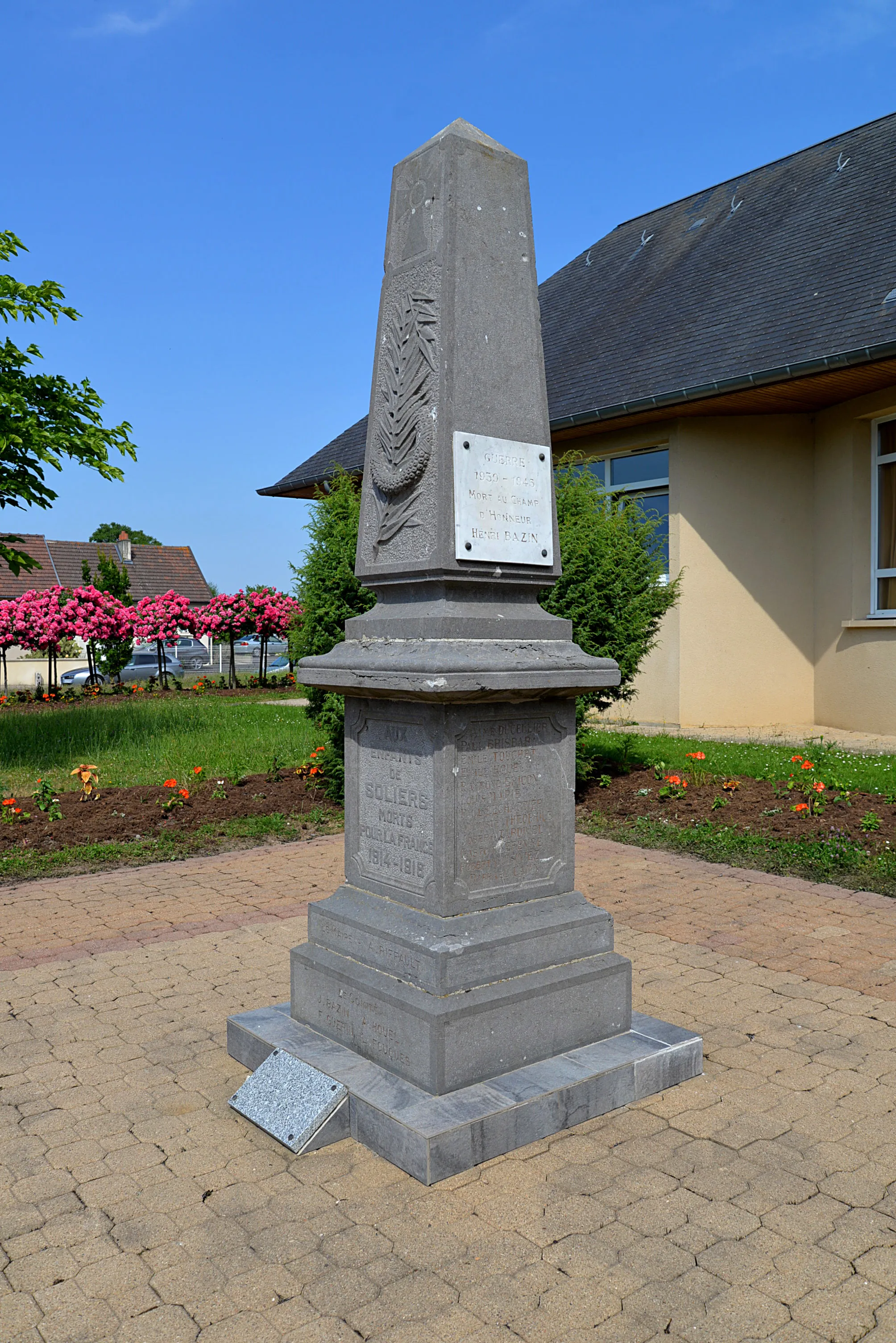
UrvilleVillageFinish the route in Bons-Tassilly and enjoy the tranquil ambiance of this Norman village.
59 km
59 km
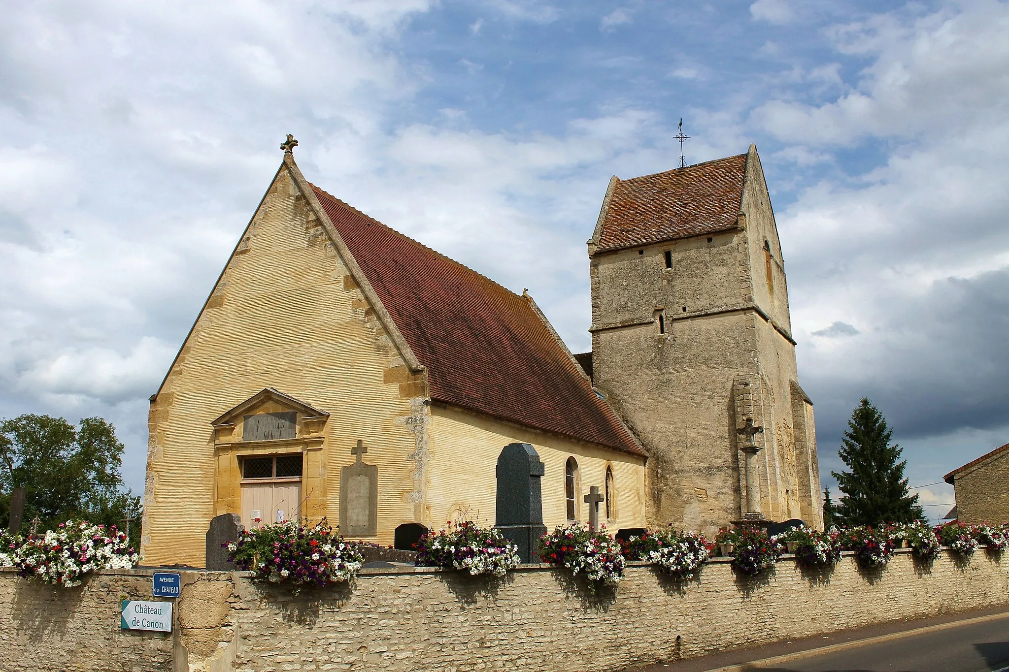
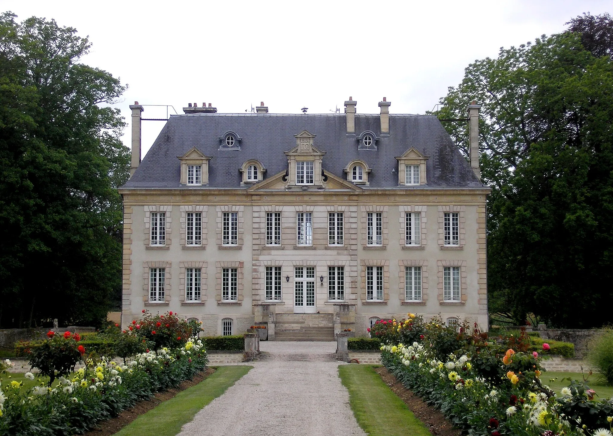
Bons-TassillyVillagePause and appreciate the natural beauty and traditional Norman architecture of Bons-Tassilly.
59 km
59 km
Finish: Bons-Tassilly Village centerPotigny: Exploring the scenic landscapes of Basse-Normandie
Cycling routes from Potigny:
Potigny to Torp Gravel Route Potigny to Torp Gravel Route Potigny to Aisy Road Route Potigny to Soumont-Saint-Quentin Road Route Fontaine-le-Pin to Manoir d'Ouilly Road Cycling Route Potigny to Urville Road Cycling Route Potigny to Bons-Tassilly Road Route Potigny to Bons-Tassilly Road Cycling Route Potigny to Urville Gravel Cycling Route Fontaine-le-Pin to Bons-Tassilly Gravel Cycling Route
Cycling routes nearby: