Potigny to Bons-Tassilly Road Cycling Route
A road cycling route starting from Potigny
Challenge yourself on the Potigny to Bons-Tassilly road cycling route and explore the stunning landscapes of Basse-Normandie.
Map
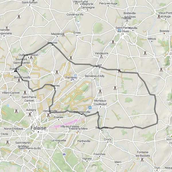
This road cycling route is perfect for riders seeking a challenging and rewarding experience. Starting in Potigny, cyclists will pedal through Rouvres, known for its beautiful rural surroundings. The route continues to Château-fort de Courcy, an impressive medieval fortress, before reaching the scenic Butte des monts. Afterward, riders pass Damblainville and finish in Bons-Tassilly. With a difficulty rating of 4 and an epicness rating of 3, this route offers a rewarding journey through the picturesque Norman countryside.
road
61 km
401 m
Tough
Route profile
Highlights on the route
0 km
0 km
Start: Potigny Village centerPotigny: Exploring the scenic landscapes of Basse-Normandie
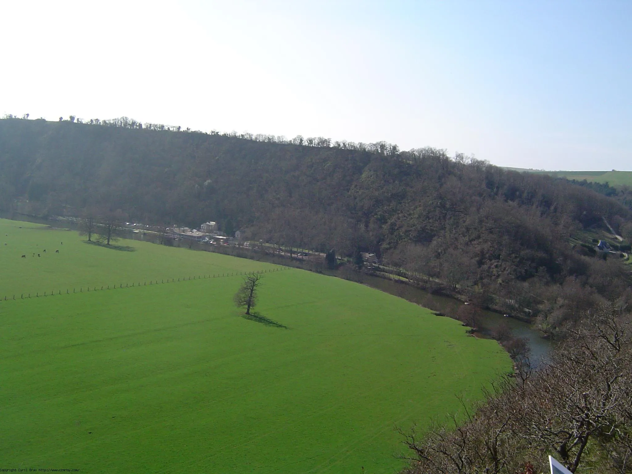
Potigny is a small town located in Basse-Normandie, France. As a cyclist, Potigny provides a charming and peaceful setting for road and gravel cycling. The roads in the area are well-maintained, offering smooth surfaces for a pleasant ride. While there may not be any famous cycling-related spots or well-known climbs in the immediate vicinity of Potigny, the surrounding region of Basse-Normandie offers opportunities for scenic rides through picturesque countryside and quaint villages. Cyclists can enjoy the beautiful landscapes and discover hidden gems of the Normandy region.0 km
0 km
PotignyVillageStart your adventure in Potigny and enjoy the peaceful atmosphere of this charming village.
7 km
7 km
RouvresVillageRide through Rouvres and take in the beautiful landscapes of the surrounding countryside.
19 km
19 km
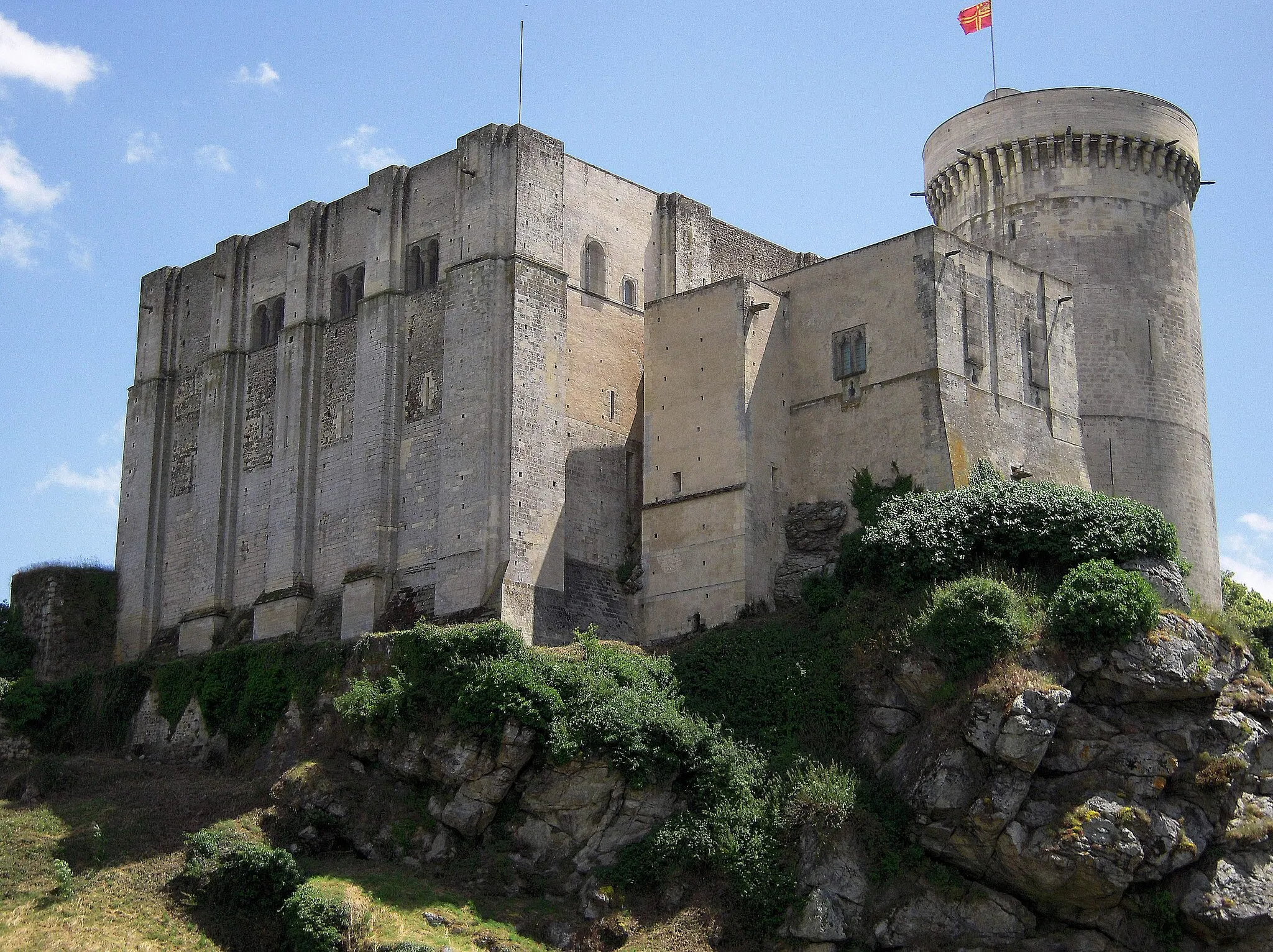
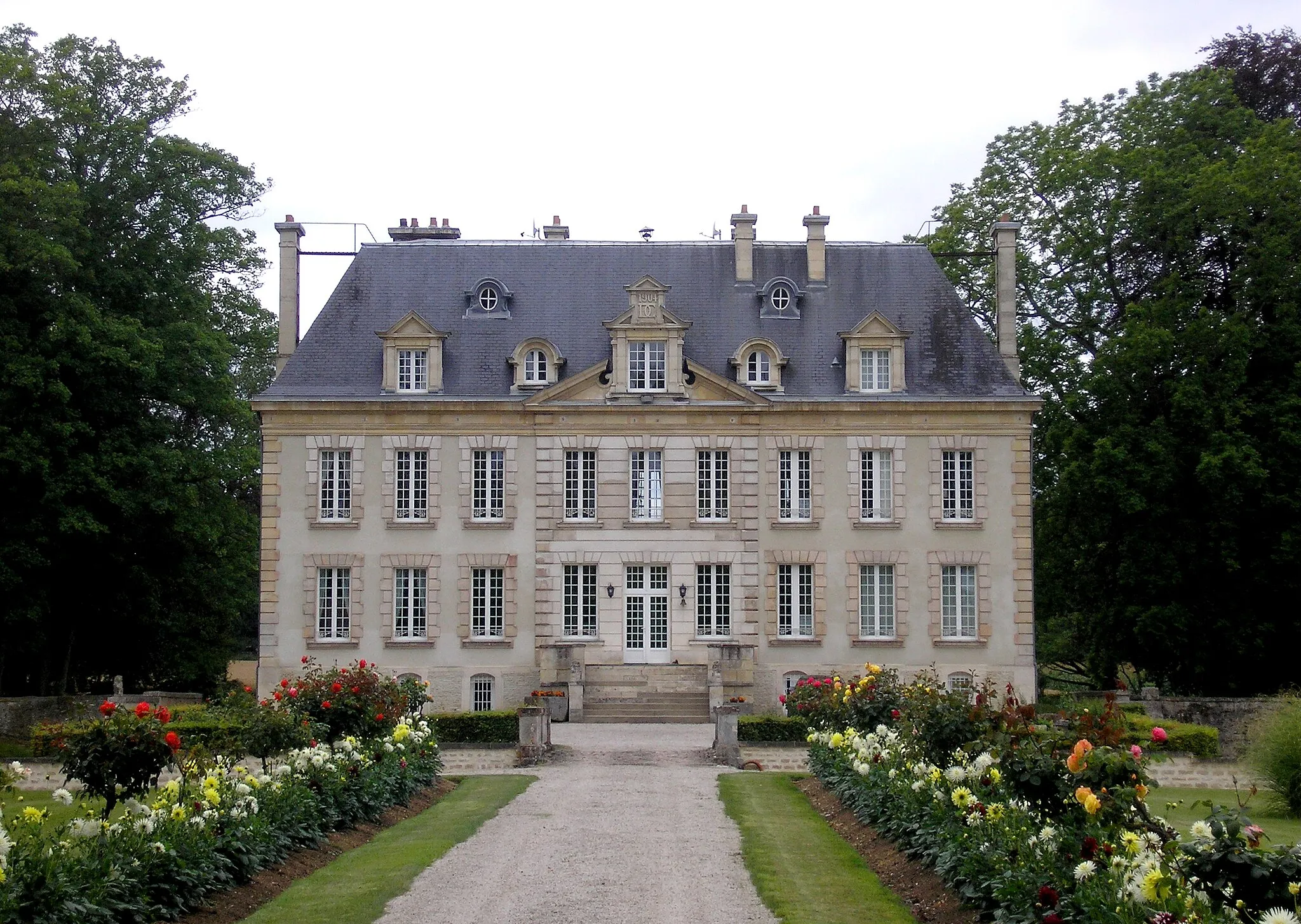
Château-fort de CourcyCastleVisit the fortified castle of Courcy and immerse yourself in the rich history of the region.
23 km
23 km
Butte des monts126 mPeakClimb the Butte des monts and be rewarded with breathtaking panoramic views of the countryside.
44 km
44 km
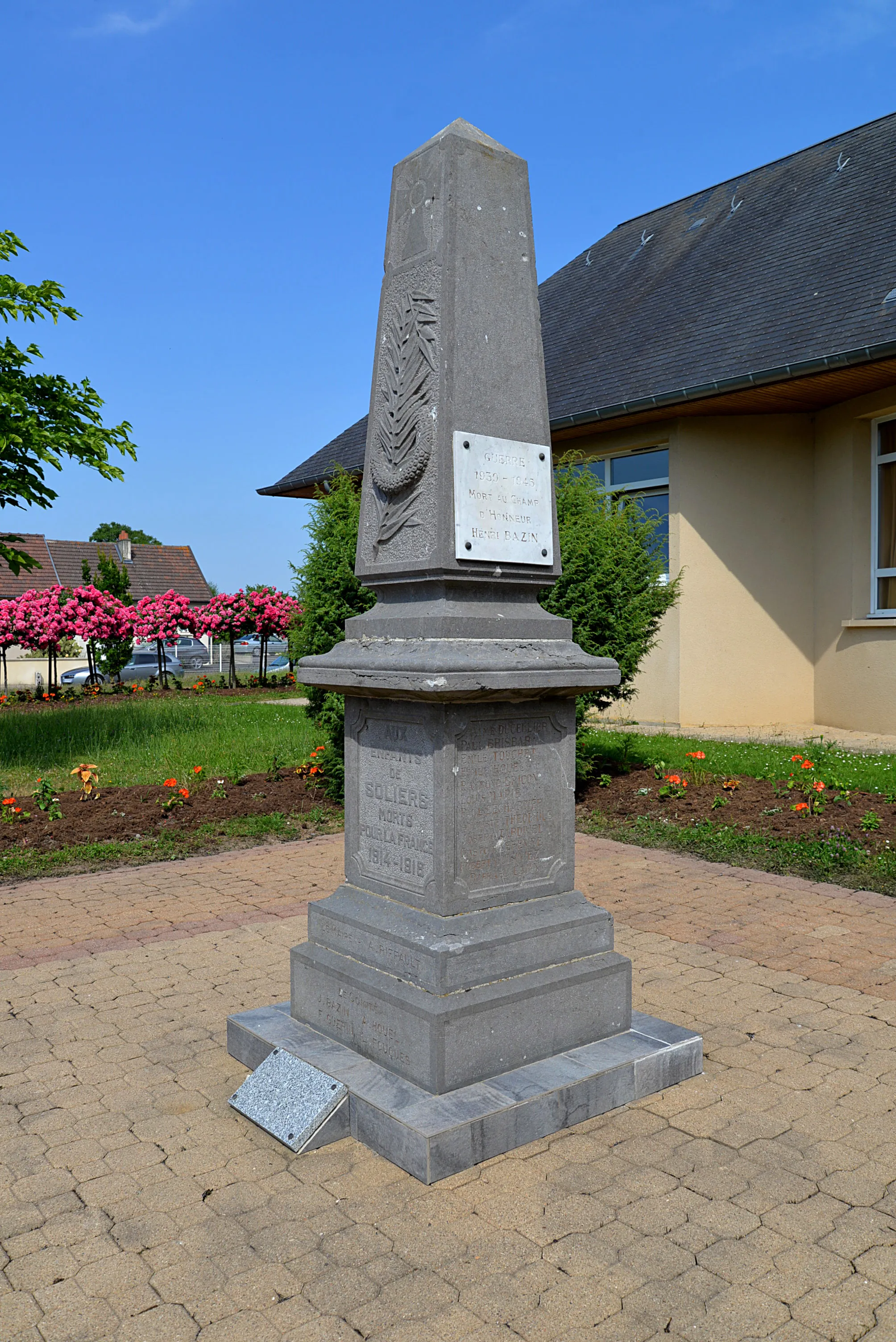
DamblainvilleVillagePass through Damblainville, a quaint village with picturesque Norman architecture.
60 km
60 km
Bons-TassillyVillageFinish the route in Bons-Tassilly, known for its beautiful landscapes and charming atmosphere.
61 km
61 km
Finish: Potigny Village centerPotigny: Exploring the scenic landscapes of Basse-Normandie
Cycling routes from Potigny:
Potigny to Torp Gravel Route Potigny to Torp Gravel Route Potigny to Aisy Road Route Potigny to Soumont-Saint-Quentin Road Route Fontaine-le-Pin to Manoir d'Ouilly Road Cycling Route Potigny to Urville Road Cycling Route Potigny to Bons-Tassilly Road Route Potigny to Bons-Tassilly Road Cycling Route Potigny to Urville Gravel Cycling Route Fontaine-le-Pin to Bons-Tassilly Gravel Cycling Route
Cycling routes nearby: