Trans-la-Forêt Loop
A road cycling route starting from Antrain
Experience the tranquil beauty of Trans-la-Forêt and its surroundings on this road cycling route near Antrain.
Map
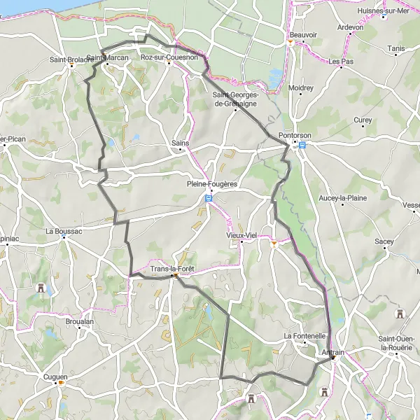
The Trans-la-Forêt Loop is a 53-kilometer road cycling route that explores the enchanting village of Trans-la-Forêt and its scenic surroundings. With a moderate difficulty level and a total ascent of 275 meters, this route is suitable for experienced cyclists and nature enthusiasts. The highlights along the way include points of interest such as Antrain, Saint-Marcan, and Belvédère sur la Baie du Mont St Michel. These attractions offer captivating views of the bay, picturesque landscapes, and opportunities for relaxation and contemplation. Overall, the Trans-la-Forêt Loop is a serene and charming cycling route that provides a delightful experience for riders looking to immerse themselves in nature and local culture.
road
53 km
275 m
Tough
Route profile
Highlights on the route
0 km
0 km
Start: Antrain Village centerAntrain: French countryside charm for leisurely cycling adventures.
Antrain, located in the Bretagne region of France, is a quaint locality that offers a unique cycling experience. From a cyclist's perspective, Antrain provides scenic routes through rolling countryside and charming villages. The region is well-suited for leisurely rides and exploration. While Antrain may not have any well-known climbs in the immediate vicinity, it serves as a great base for discovering other acclaimed cycling destinations in Bretagne such as Mont Saint-Michel. Cyclists visiting Antrain can look forward to a peaceful and enjoyable cycling experience amidst beautiful French landscapes.0 km
0 km
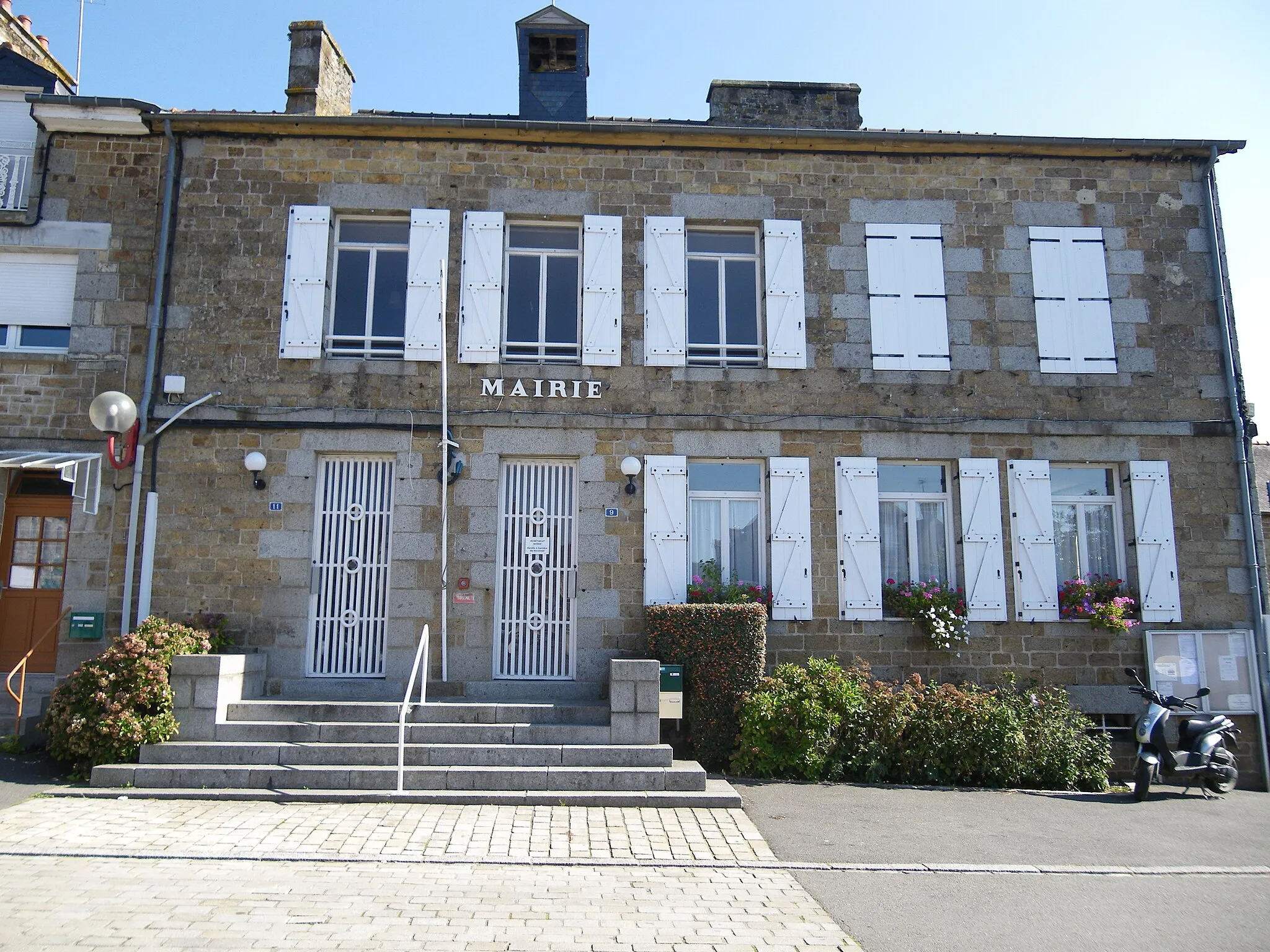
AntrainVillageAntrain: Start your journey in this historic town and explore its narrow streets and charming atmosphere.
13 km
13 km
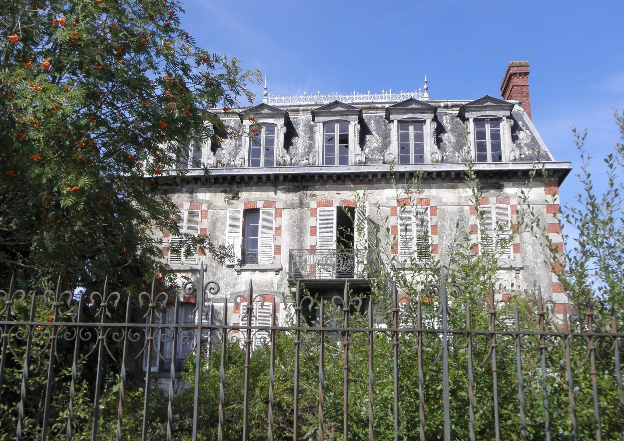
Trans-la-ForêtVillageTrans-la-Forêt: Visit this peaceful village and enjoy its picturesque landscapes and traditional houses.
28 km
28 km
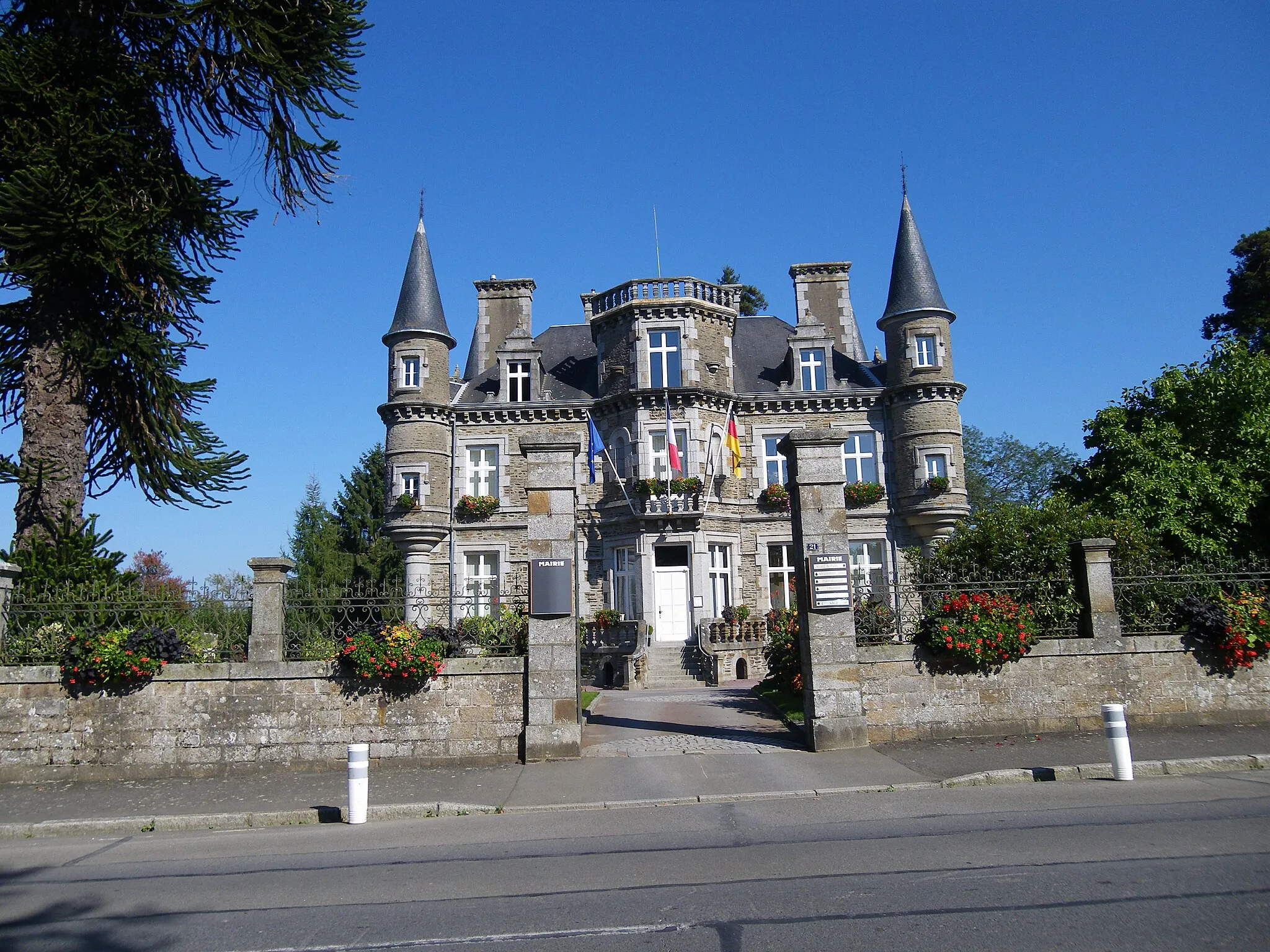
Saint-MarcanVillageSaint-Marcan: Discover the scenic beauty of this small town and its old stone houses.
32 km
32 km
Belvédère sur la Baie du Mont St MichelViewpointBelvédère sur la Baie du Mont St Michel: Enjoy breathtaking views of Mont St Michel and the surrounding bay.
37 km
37 km
Saint-Georges-de-GréhaigneVillageSaint-Georges-de-Gréhaigne: Take a moment to appreciate the tranquility of the countryside and its charming villages.
53 km
53 km
Finish: Antrain Village centerAntrain: French countryside charm for leisurely cycling adventures.
Cycling routes nearby: