Aléria to Punta Rossa Loop
A road cycling route starting from Aleria
Experience the stunning beauty of Punta Rossa from Aléria
Map
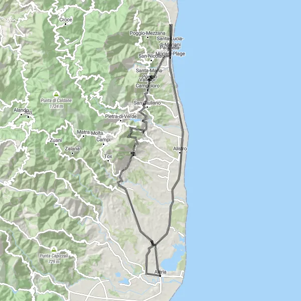
This road cycling route starting near Aléria takes you on a scenic journey to Punta Rossa. With a distance of 92 km and an ascent of 1378 meters, this route offers a challenging but highly rewarding experience for experienced cyclists. Along the way, you'll pass by Pointe Mozzagrino, Canale-di-Verde, and Monte Oppido, providing plenty of opportunities to enjoy the natural beauty of the Corsican landscape. End your ride at Punta Rossa, a picturesque cape with impressive rock formations and panoramic views of the sea.
road
92 km
1378 m
Savage
Route profile
Highlights on the route
0 km
0 km
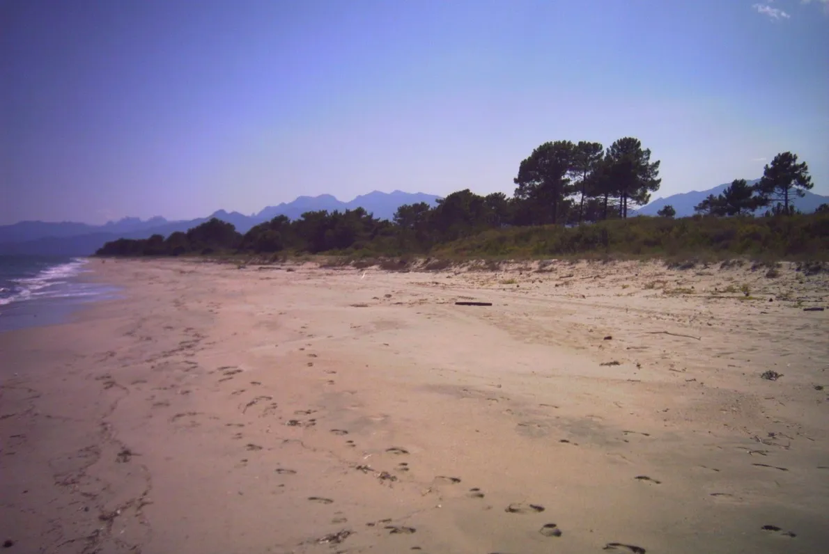
Start: Aléria Village centerAléria: Conquering challenging routes in Aléria
Aléria, situated in Corse, France, is a popular destination for road cyclists. The area offers a combination of flat and hilly terrains, providing a variety of routes to suit different preferences. Cyclists can enjoy breathtaking coastal views and explore the picturesque villages along the way. Aléria is also near the famous cycling climb, Col de Bavella, making it an attractive spot for cyclists seeking a challenge. With its stunning views and renowned climb nearby, Aléria ranks as a 5 on the cyclist perspective scale.8 km
8 km
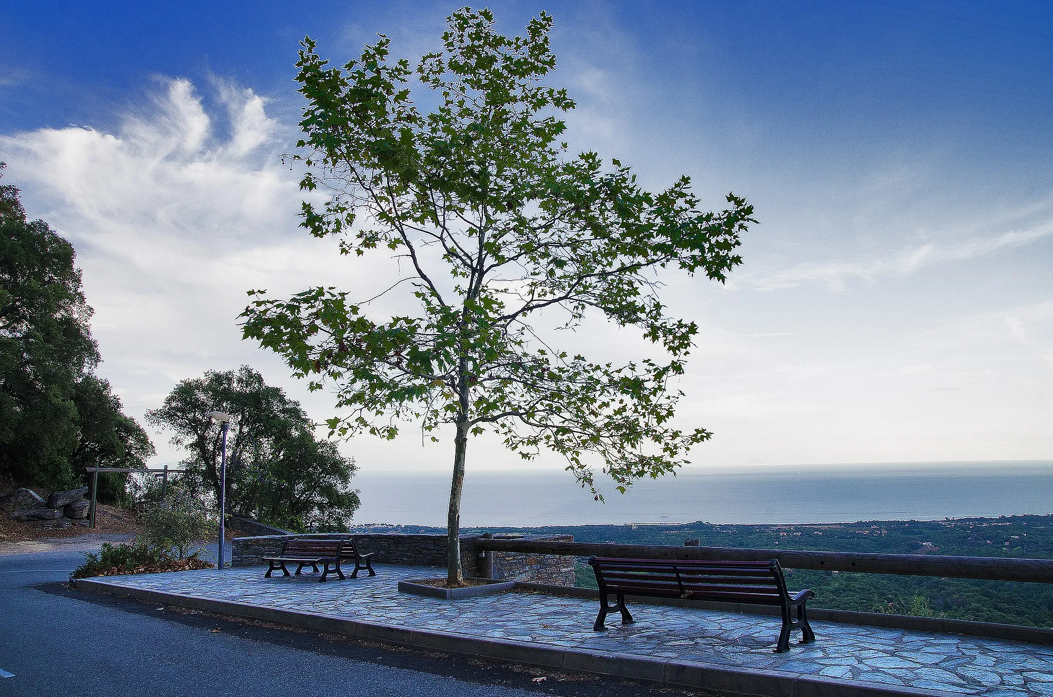
Pointe Mozzagrino71 mPeakMake a stop at Pointe Mozzagrino and savor the stunning coastal vistas.
12 km
12 km
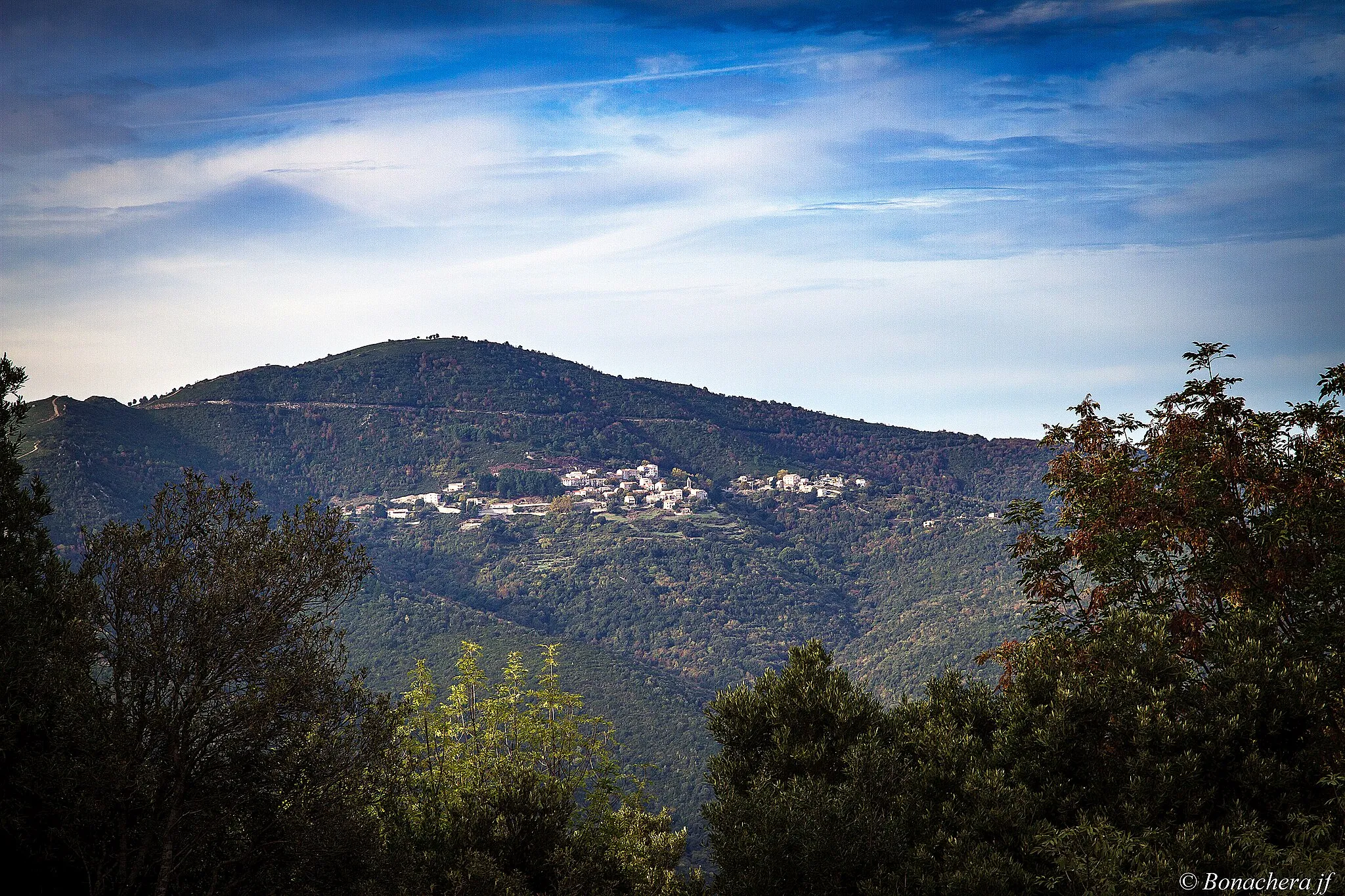
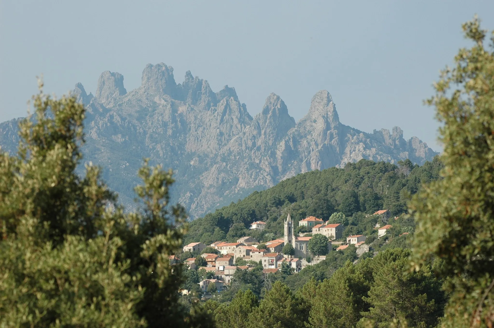
PianicciaHamletPass through the charming village of Pianiccia and marvel at its traditional Corsican architecture.
25 km
25 km
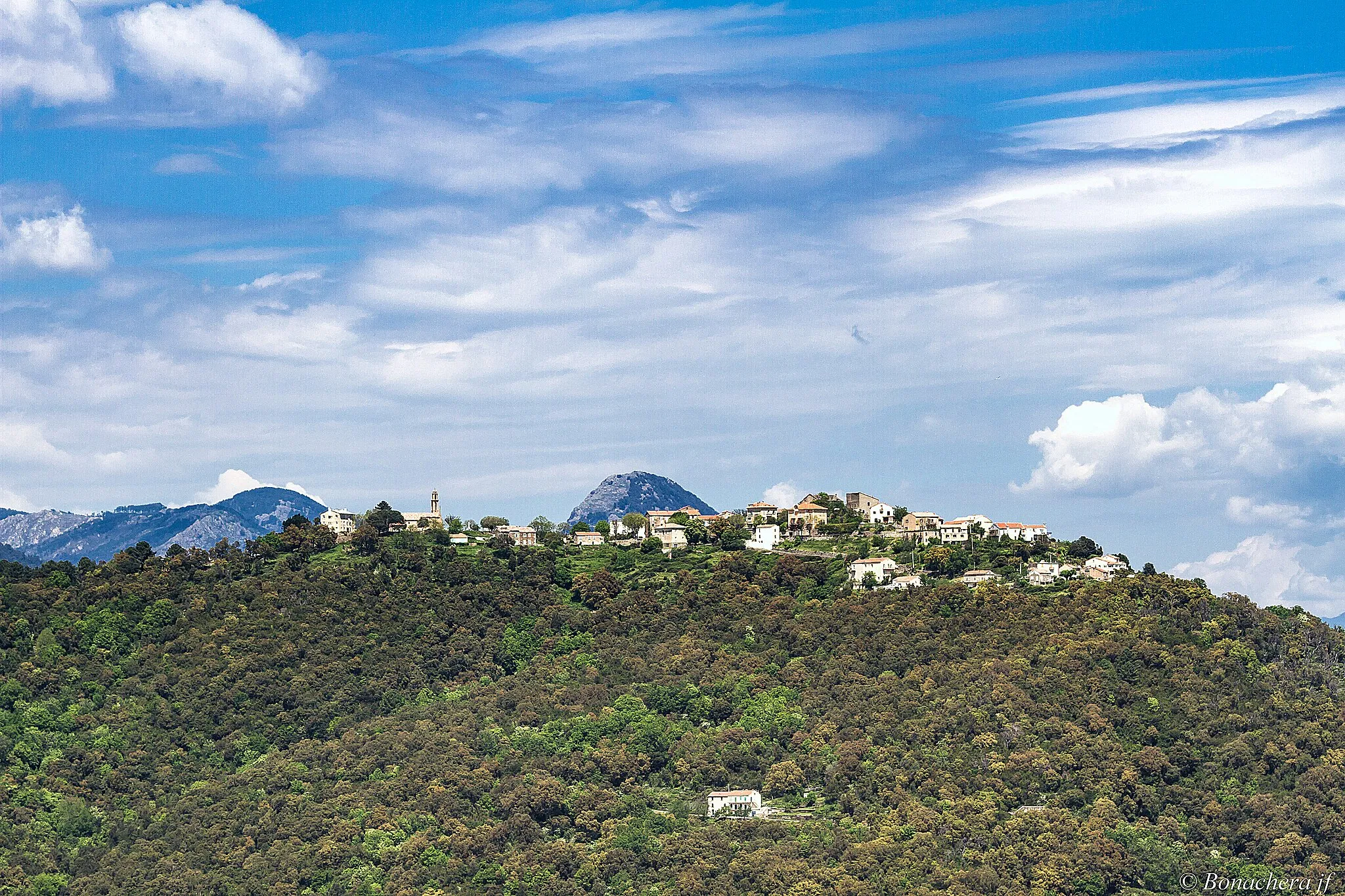
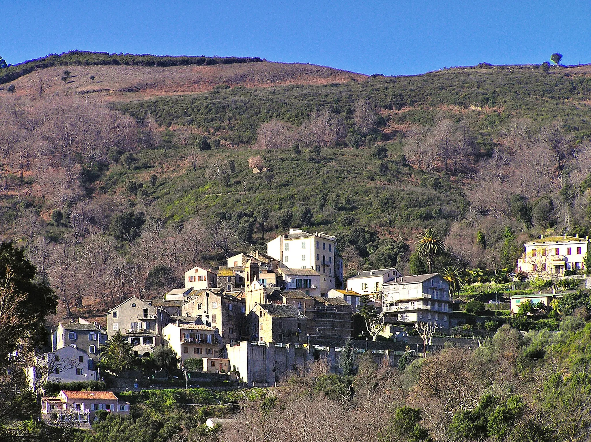
Canale-di-VerdeVillageDiscover Canale-di-Verde, a quaint village renowned for its olive groves and wine production.
30 km
30 km
Monte Oppido497 mPeakVisit Monte Oppido, offering breathtaking views of the surrounding mountains and valleys.
40 km
40 km
CervioneVillagePass through Cervione, a historic town famous for its cat colony and vibrant cultural heritage.
42 km
42 km
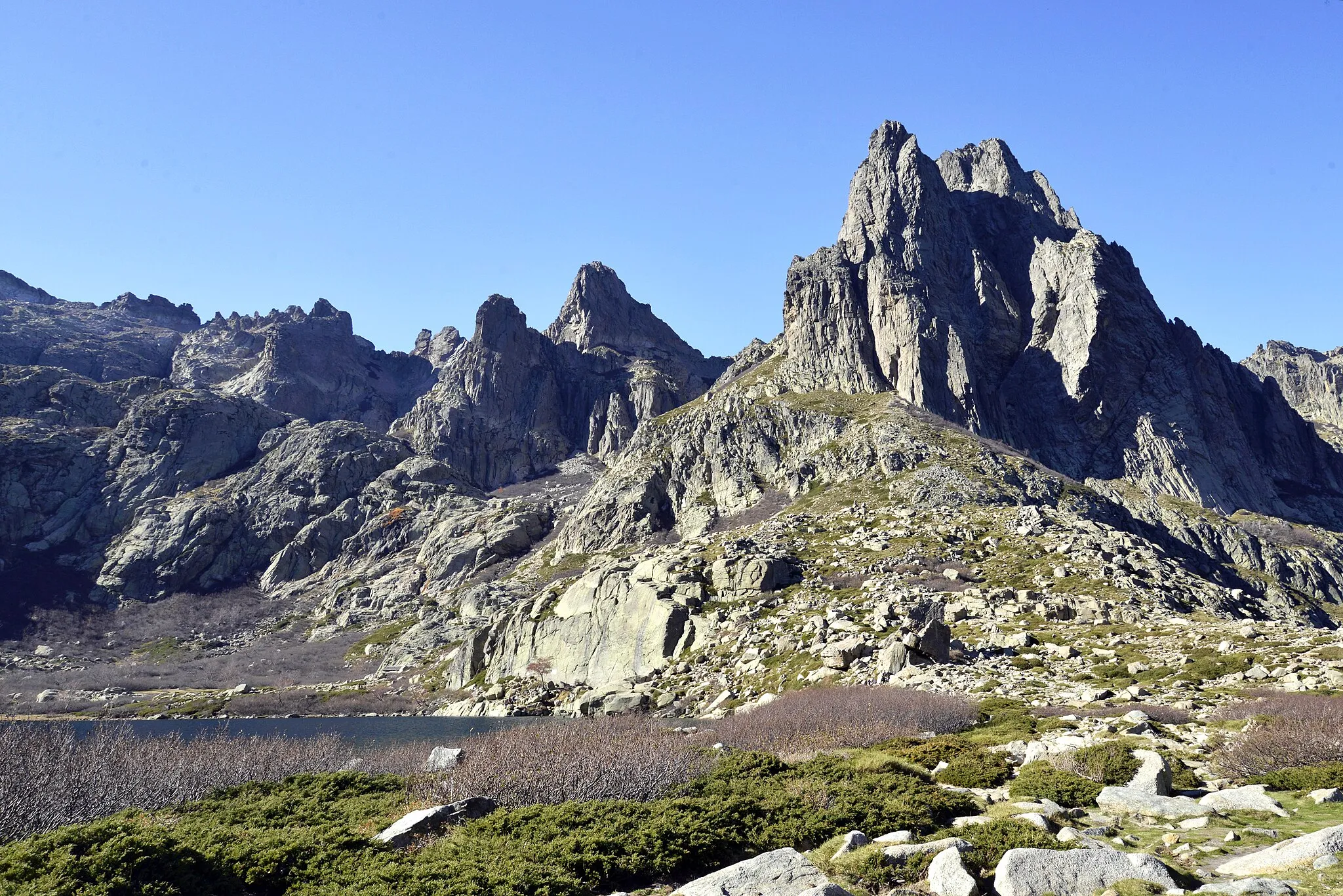
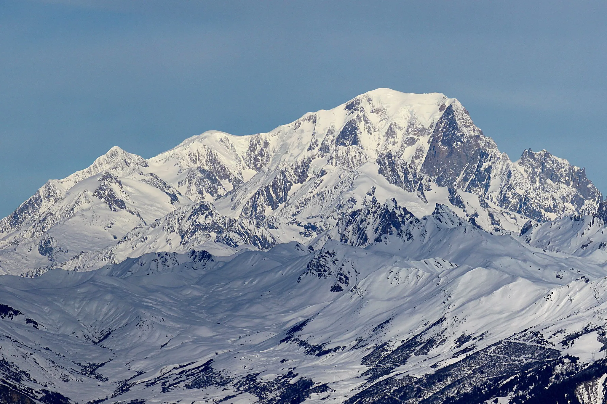
Punta Rossa852 mPeakMarvel at the awe-inspiring Punta Rossa, a red limestone cape with a fascinating geological history.
50 km
50 km
Santa-Lucia-di-MorianiVillageExplore the rustic village of Santa-Lucia-di-Moriani and soak in its authentic Corsican atmosphere.
68 km
68 km
Easternmost Point of Metropolitan FranceAttractionReach the easternmost point of Metropolitan France and take in the stunning coastal scenery.
87 km
87 km
Puntallone52 mPeakEnjoy the panoramic views from Puntallone, a must-visit vantage point that offers sweeping vistas of the coastline.
91 km
91 km
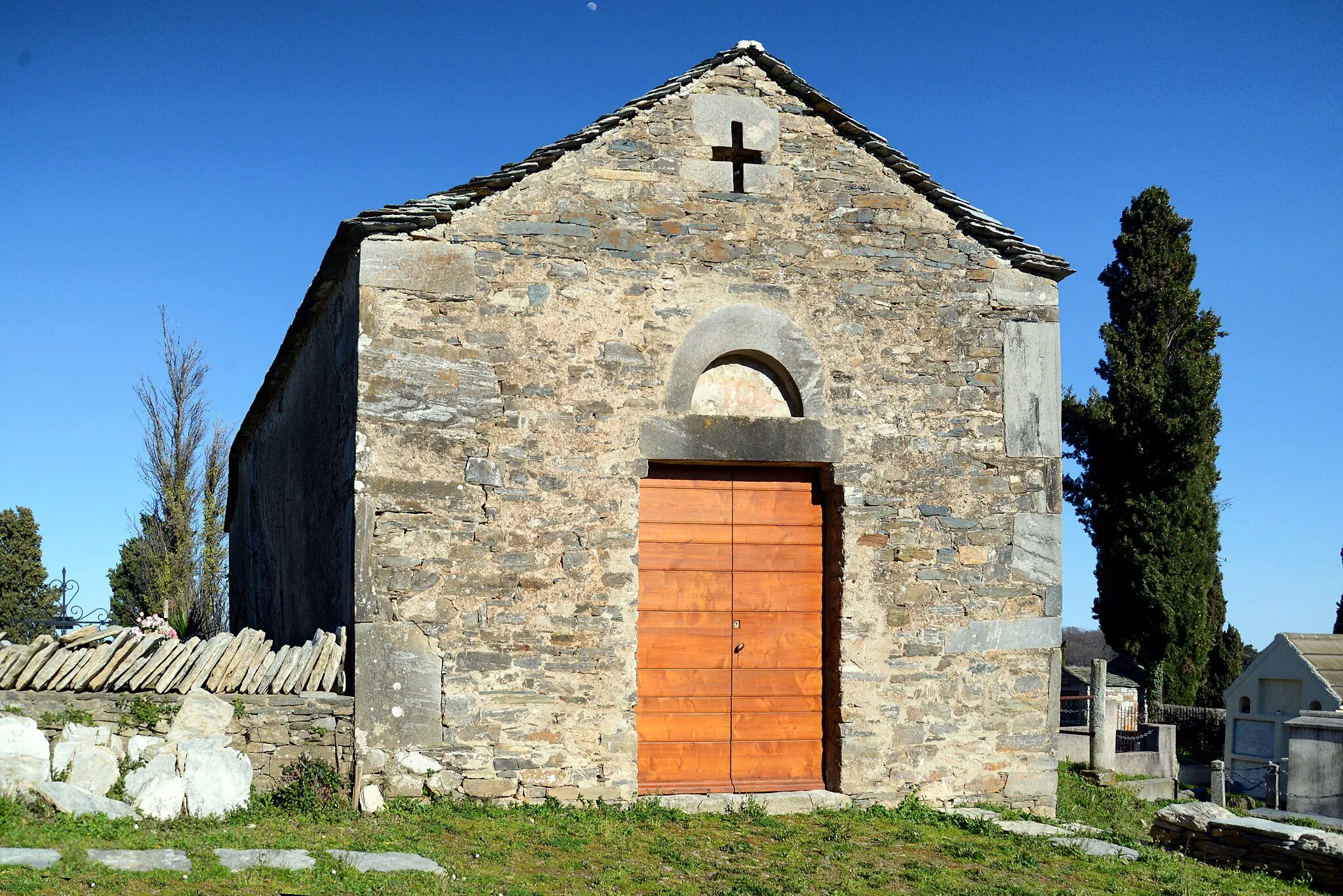
Fort de MatraCastleVisit the Fort de Matra, a historic fortress that offers a glimpse into Corsica's military past.
92 km
92 km
Finish: Aléria Village centerAléria: Conquering challenging routes in Aléria
Cycling routes from Aleria:
Road Cycling Mountain Escape Aléria to Pointe Chiostra Loop Explore the Fort de Matra and the breathtaking landscapes near Aléria Gravel Cycling Aléria Adventure Road Cycling Mountain Circuit Road Cycling Corsican Coast Aléria to Punta Rossa Loop Road Cycling Aléria Loop Road Cycling Route from Aléria to Fort de Matra and Pointe Chiostra Road Cycling Route from Aléria to Fort de Matra Aléria - Ghisonaccia - Lugo-di-Nazza - Aléria
Cycling routes nearby: