Road Cycling Route from Aléria to Fort de Matra
A road cycling route starting from Aleria
Explore the historic Fort de Matra on this road cycling route near Aléria
Map
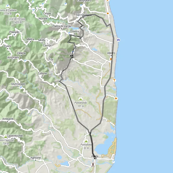
This road cycling route takes you from Aléria to Fort de Matra, offering beautiful views along the way. The route includes a total ascent of 1162 meters over a distance of 67 kilometers. The difficulty level is moderate, suitable for well-trained amateur cyclists. With a mix of challenging climbs and scenic landscapes, this route offers a great cycling experience. The highlights of the route include Fort de Matra, Pointe Mozzagrino, Canale-di-Verde, Mont Picciolo, Sant'Andréa-di-Cotone, Easternmost Point of Metropolitan France, and Aléria.
road
67 km
1162 m
Tough
Route profile
Highlights on the route
0 km
0 km
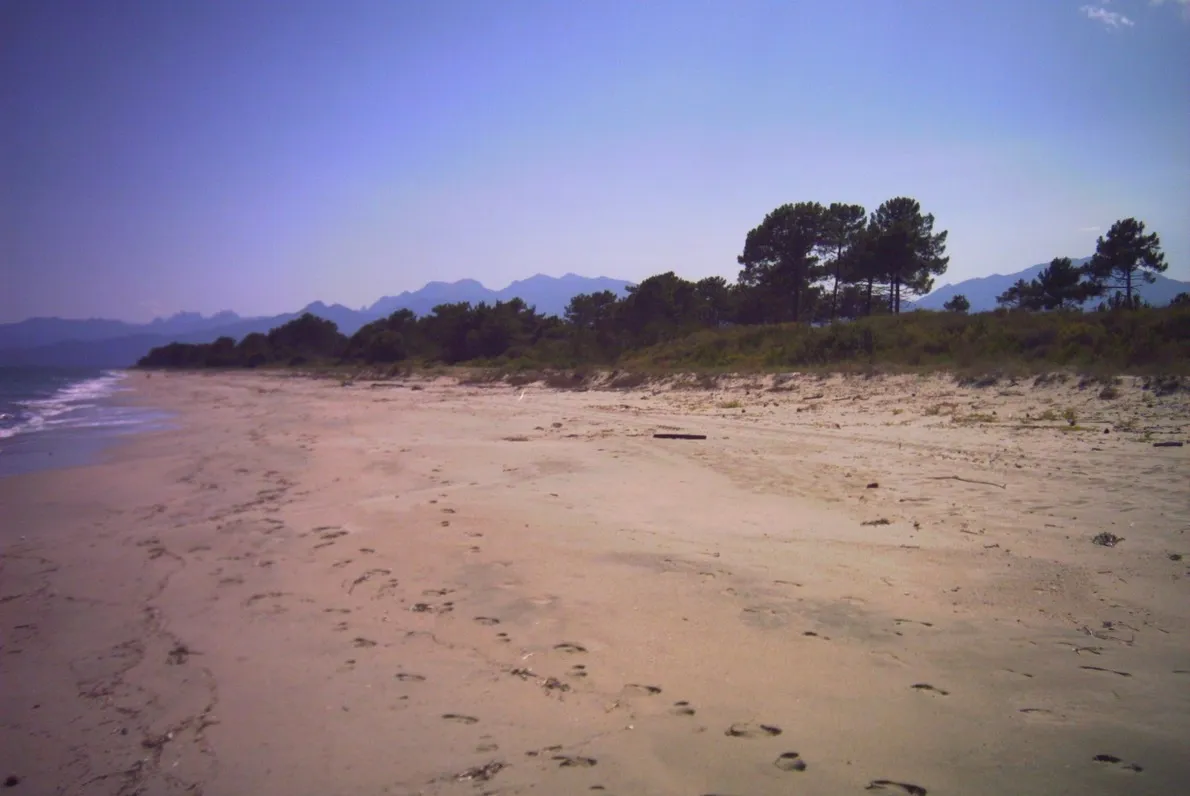
Start: Aléria Village centerAléria: Conquering challenging routes in Aléria
Aléria, situated in Corse, France, is a popular destination for road cyclists. The area offers a combination of flat and hilly terrains, providing a variety of routes to suit different preferences. Cyclists can enjoy breathtaking coastal views and explore the picturesque villages along the way. Aléria is also near the famous cycling climb, Col de Bavella, making it an attractive spot for cyclists seeking a challenge. With its stunning views and renowned climb nearby, Aléria ranks as a 5 on the cyclist perspective scale.0 km
0 km
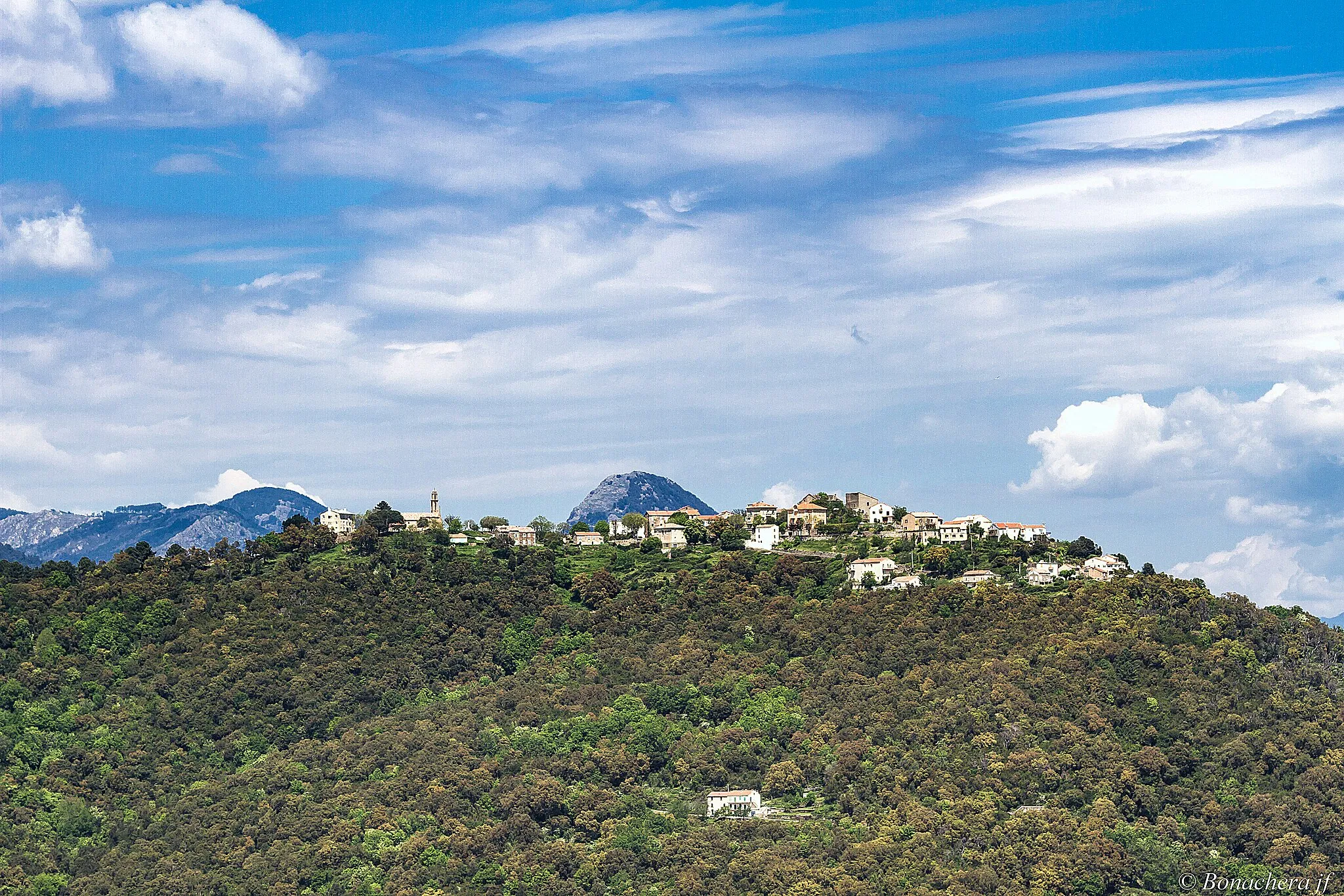
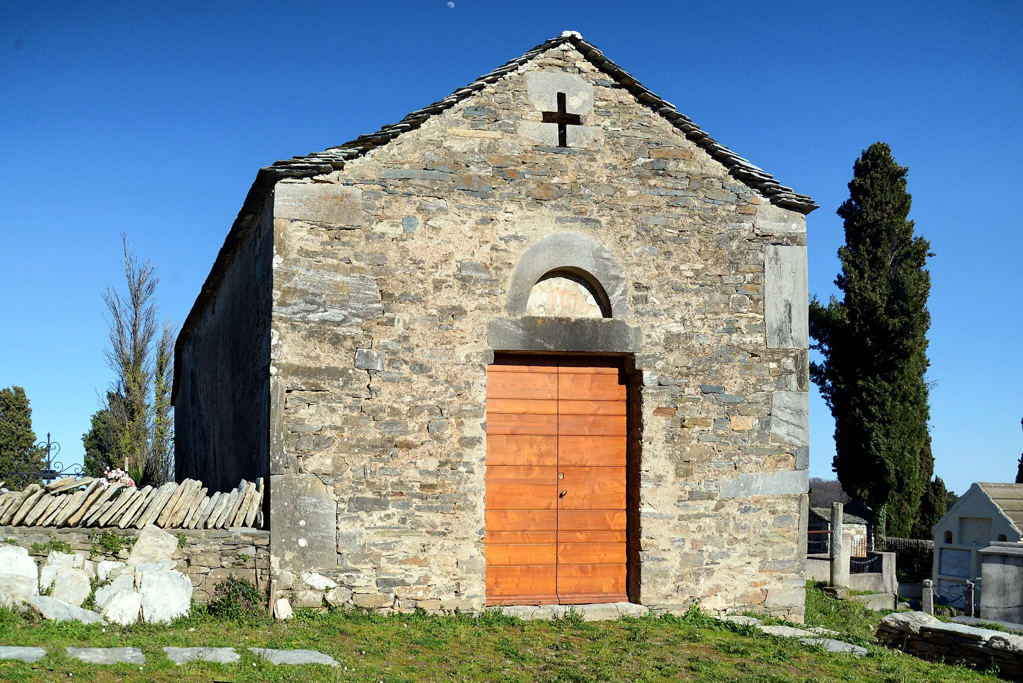
Fort de MatraCastleExplore the historic Fort de Matra along the way, an important cultural site in the region.
8 km
8 km
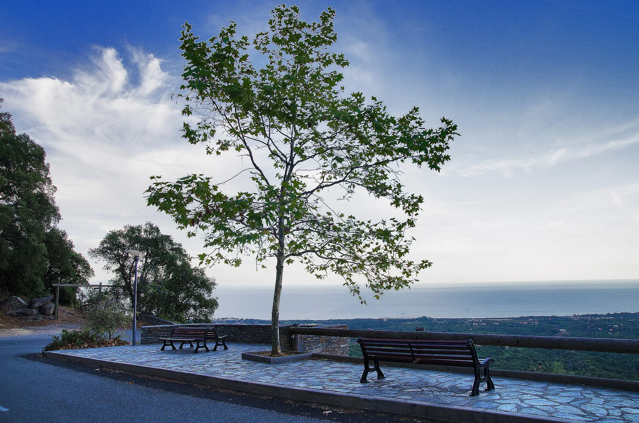
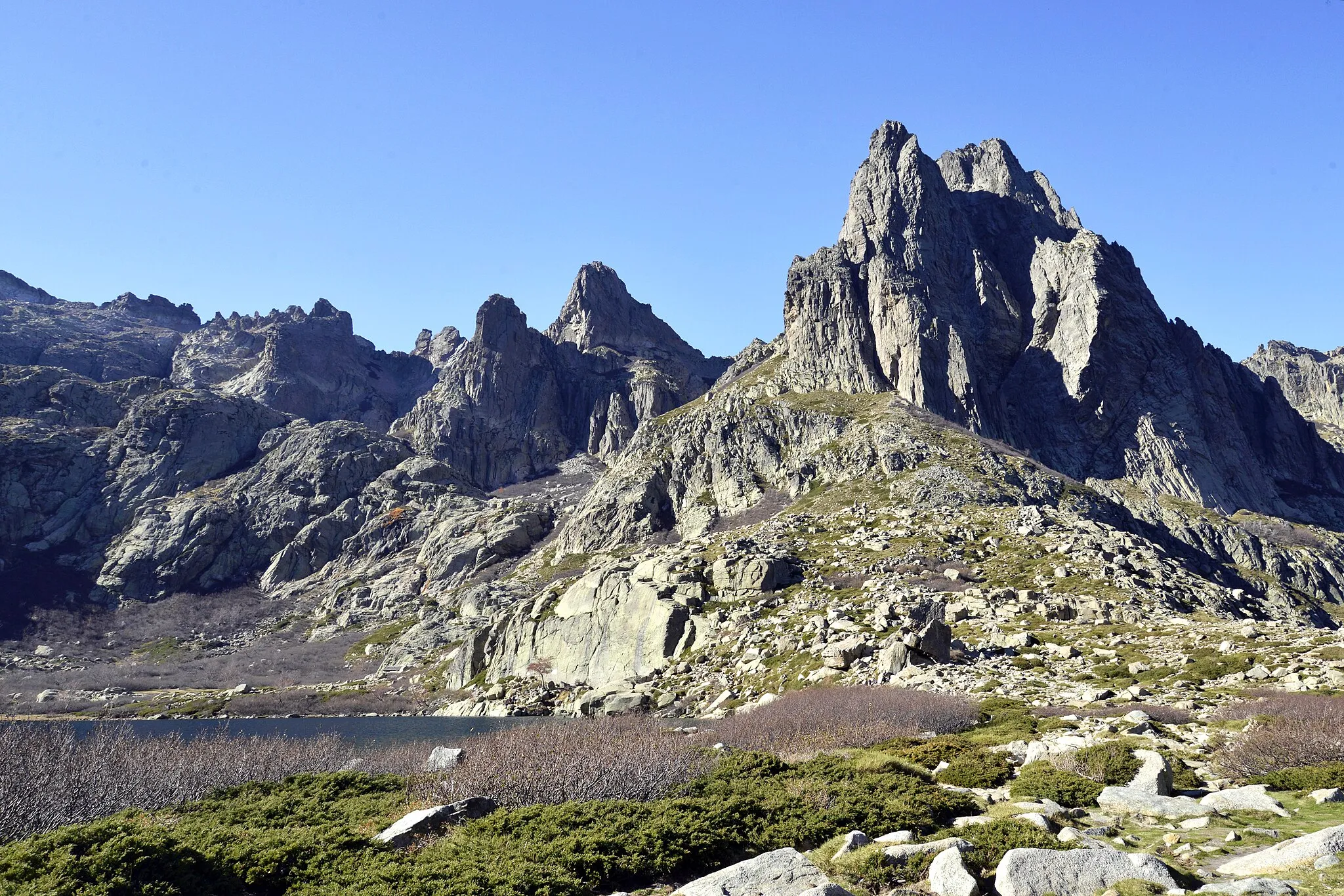
Pointe Mozzagrino71 mPeakVisit Pointe Mozzagrino and enjoy the stunning coastal views.
25 km
25 km
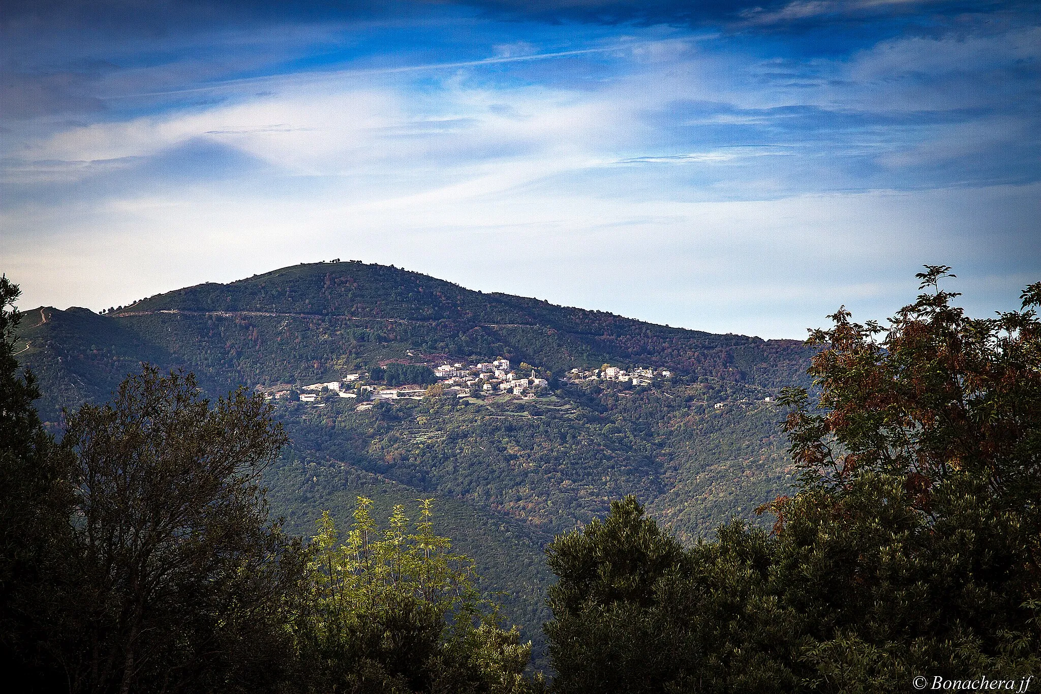
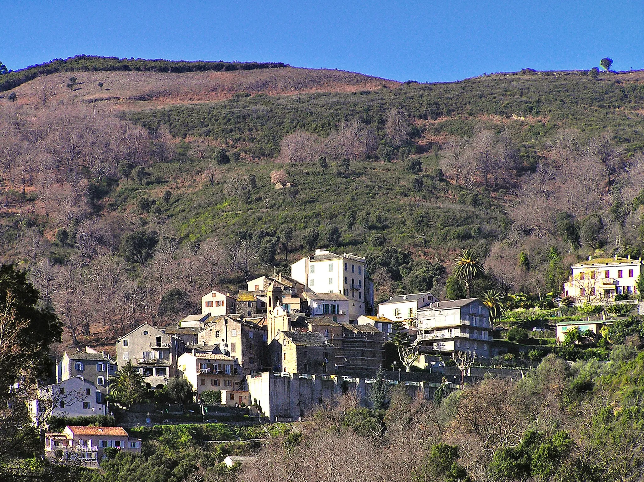
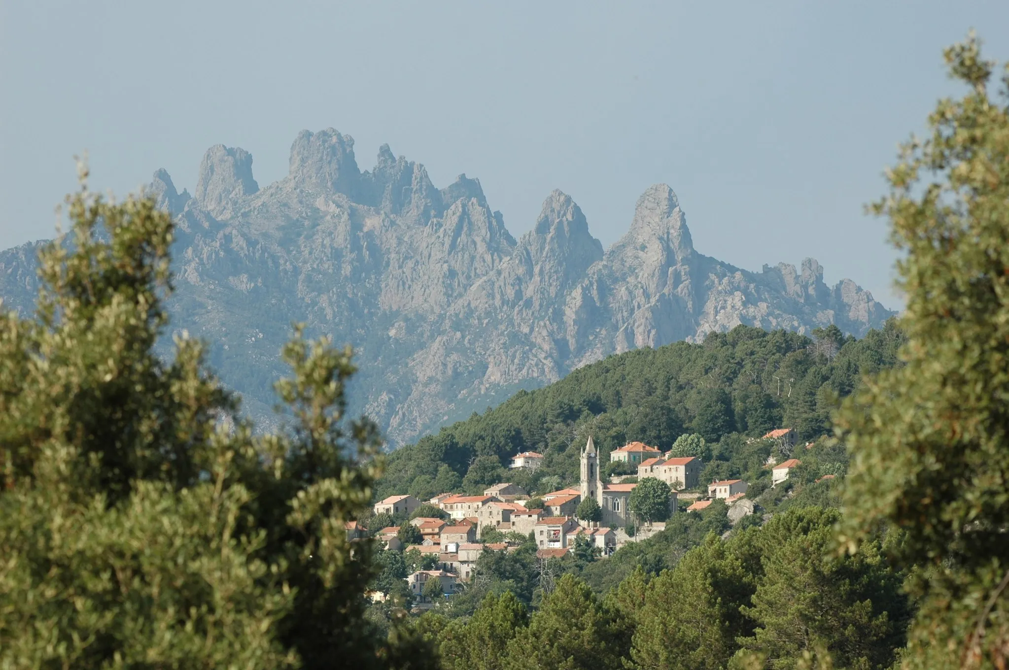
Canale-di-VerdeVillagePass through the picturesque village of Canale-di-Verde.
27 km
27 km
Mont Picciolo810 mPeakClimb Mont Picciolo and admire panoramic views of the surrounding area.
36 km
36 km
Sant'Andréa-di-CotoneVillagePass through the charming town of Sant'Andréa-di-Cotone.
46 km
46 km
Easternmost Point of Metropolitan FranceAttractionReach the easternmost point of Metropolitan France.
67 km
67 km
AlériaVillageDiscover the town of Aléria, known for its rich history and archaeological sites.
67 km
67 km
Finish: Aléria Village centerAléria: Conquering challenging routes in Aléria
Cycling routes from Aleria:
Road Cycling Mountain Escape Aléria to Pointe Chiostra Loop Explore the Fort de Matra and the breathtaking landscapes near Aléria Gravel Cycling Aléria Adventure Road Cycling Mountain Circuit Road Cycling Corsican Coast Aléria to Punta Rossa Loop Road Cycling Aléria Loop Road Cycling Route from Aléria to Fort de Matra and Pointe Chiostra Road Cycling Route from Aléria to Fort de Matra Aléria - Ghisonaccia - Lugo-di-Nazza - Aléria
Cycling routes nearby: