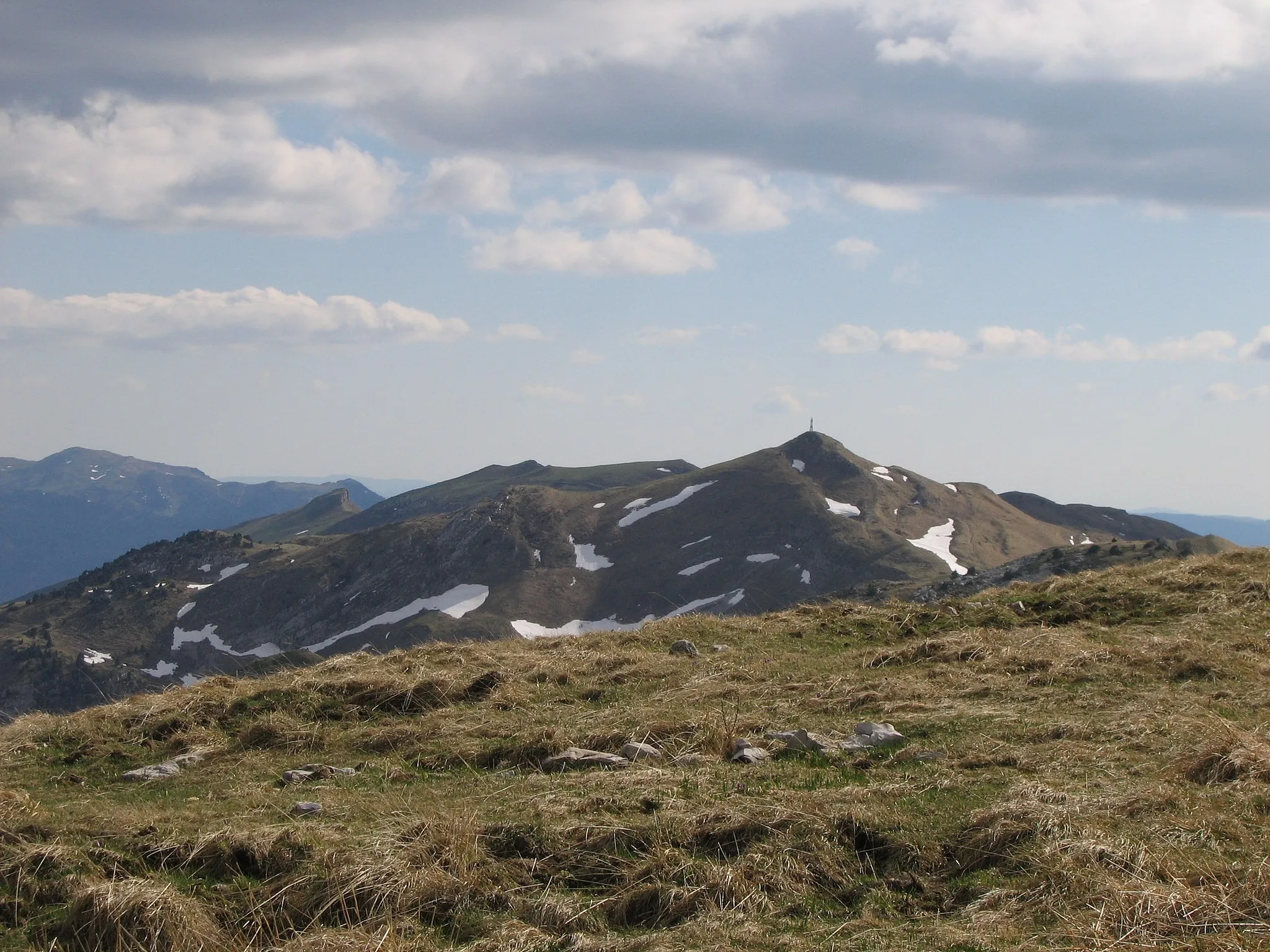
A hidden gem nestled in the Jura Mountains, offering challenging climbs and scenic routes.
Cycling routes from Bart
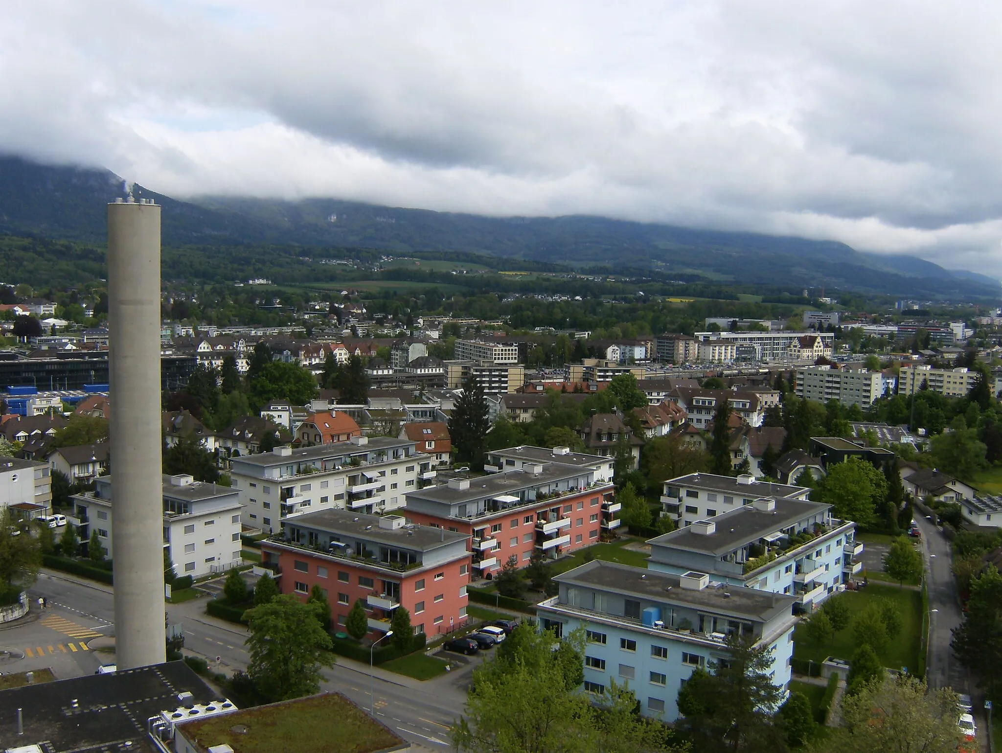
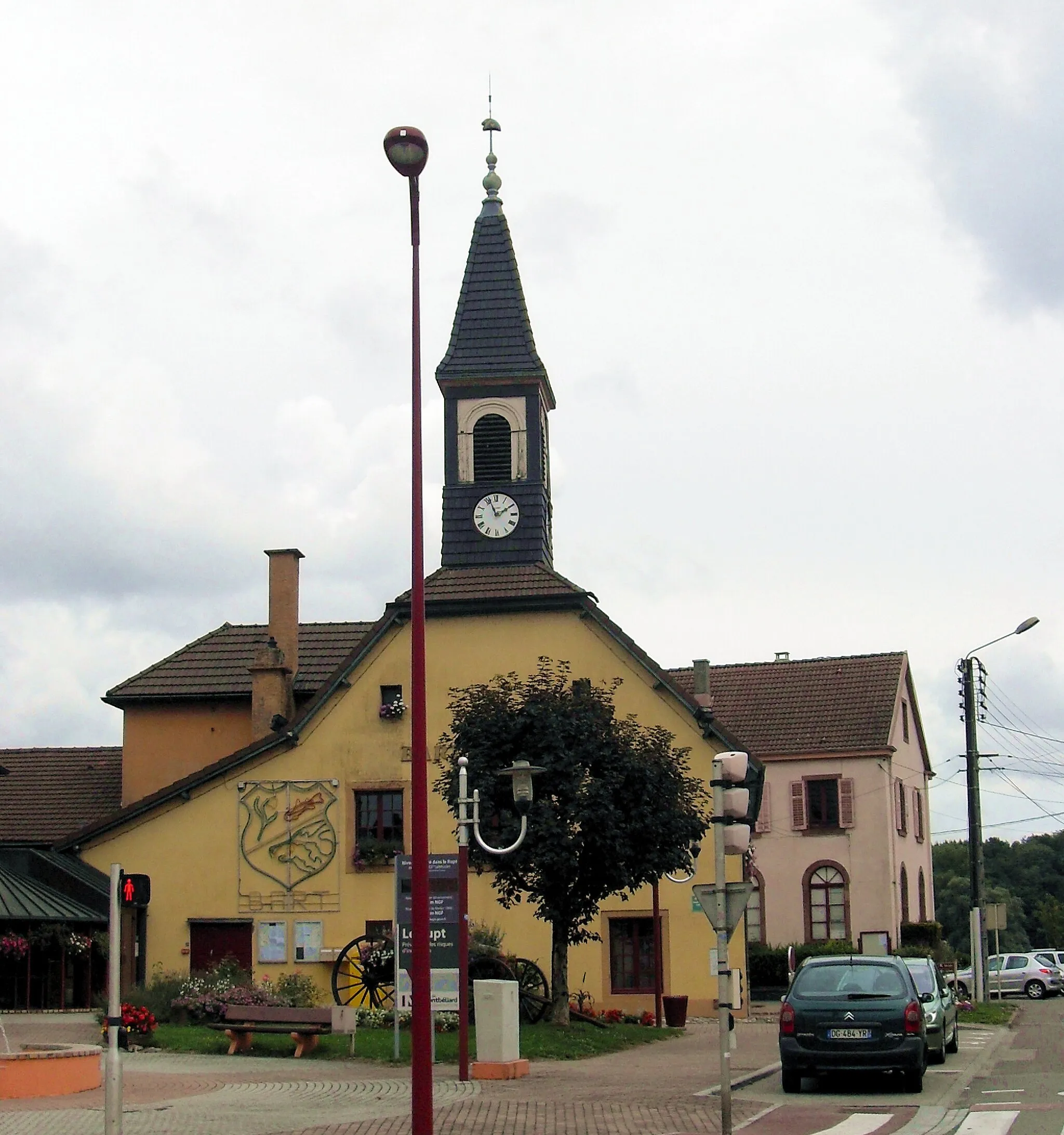
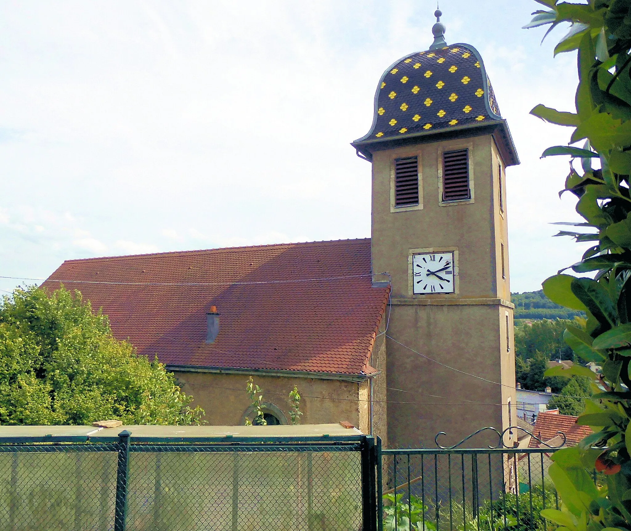
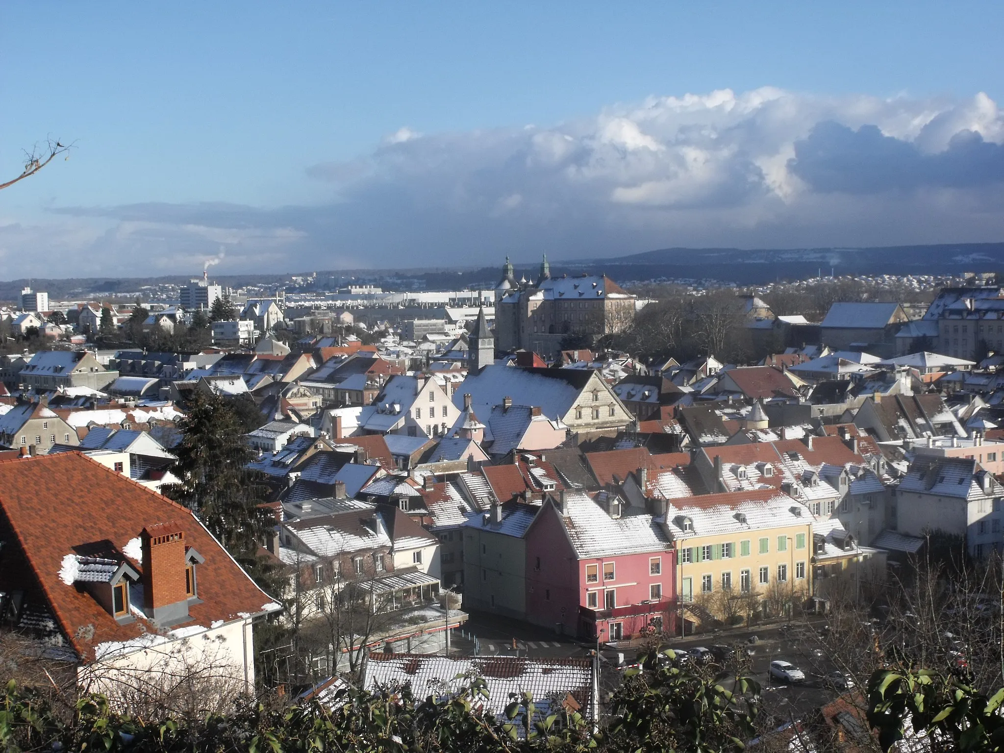
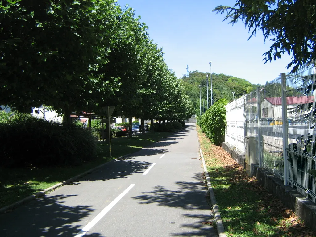
Bart is a town located in the Franche-Comté region of France. While it may not be a well-known cycling destination, it offers some challenging climbs and scenic routes for avid cyclists. The town is nestled in the Jura Mountains, providing cyclists with breathtaking views and unique cycling opportunities. Local cyclists often tackle the challenging climbs that lead to the Col de la Schlucht and other well-known mountain passes in the area. Bart is a great base for cyclists who seek a mix of challenging climbs and beautiful landscapes.
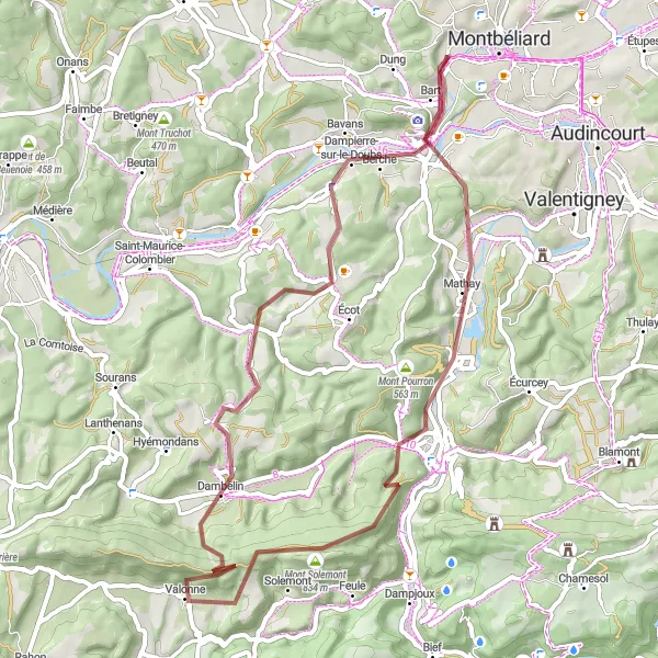
Embark on an exciting gravel cycling adventure, exploring picturesque villages and rugged terrains.
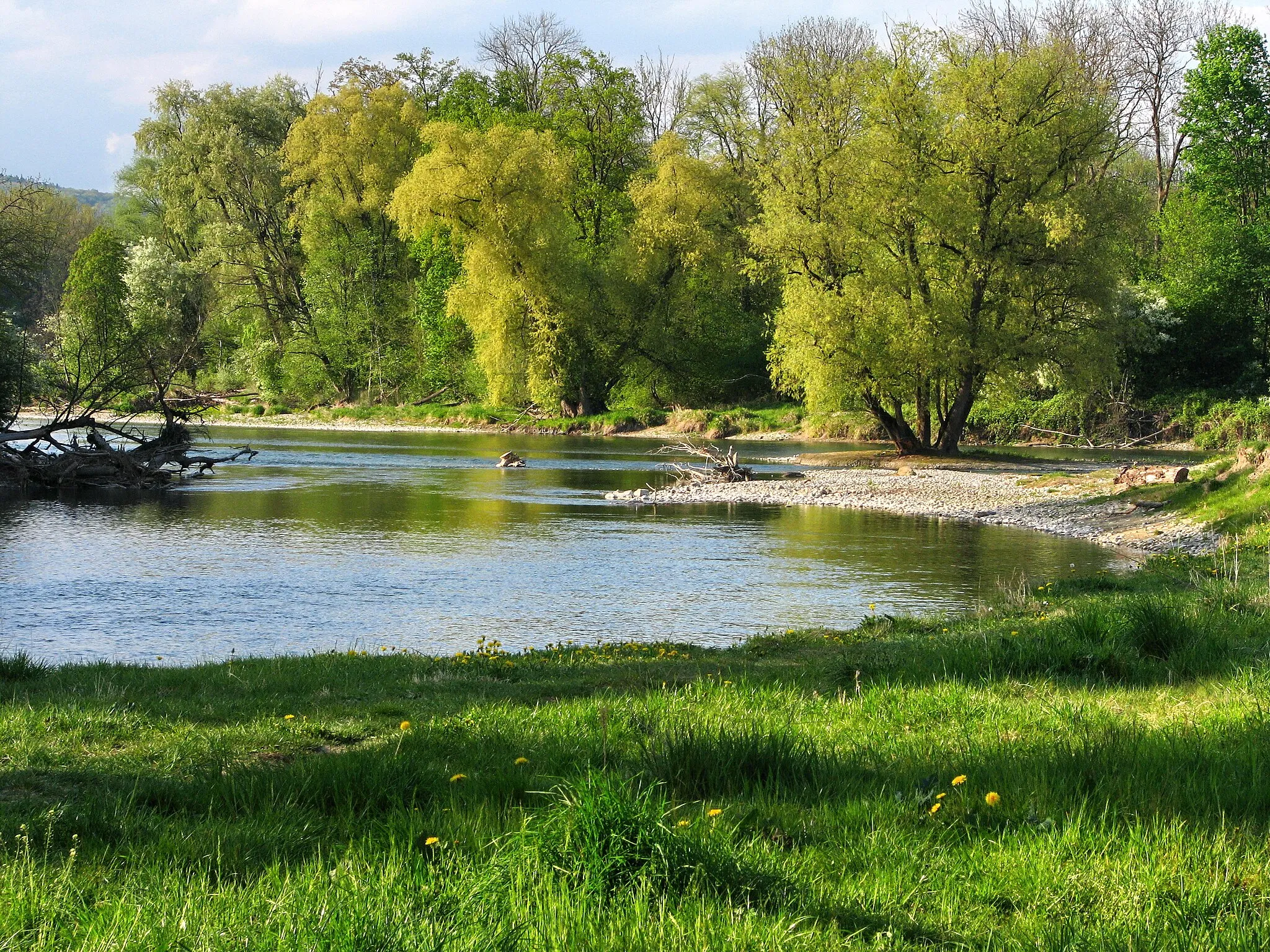
Calling all gravel cycling enthusiasts! This thrilling 56-kilometer route in Franche-Comté will take you through picturesque villages and rugged terrains. Test your skills as you conquer a total ascent of 1,163 meters, featuring challenging sections like the Mont Solemont climb. Explore the charming village of Mathay and enjoy the scenic beauty of Valonne. Discover hidden gems such as Dambelin and Étouvans, each offering their own unique attractions. Experience the magnificence of the Rock, a geological wonder that will leave you in awe. This route is perfect for experienced gravel cyclists seeking an adventurous and scenic ride in Franche-Comté.
Challenging Road Cycling Tour

Embark on a thrilling road cycling adventure through beautiful Franche-Comté.
Prepare for an exciting journey as you conquer this 86 km road cycling route with an elevation gain of 926 meters. Explore the beauty of Étouvans and Montvaudon along the way. Difficulty Level: 3 out of 5. Epicness Level: 3 out of 5.
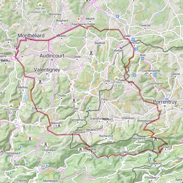
Embark on an exhilarating off-road cycling adventure, conquering rugged terrains and exploring hidden gems.
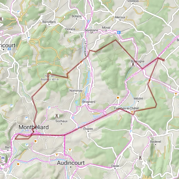
Get ready for an adrenaline-pumping off-road cycling adventure in Franche-Comté. This 115-kilometer gravel route offers breathtaking views, challenging ascents, and thrilling descents. Experience the thrill of Audincourt, a town known for its diverse cycling routes, and explore the scenic beauty of Montjoie-le-Château. Discover hidden gems like Indevillers, home to stunning natural landscapes, and the famous Rocher du Singe, a popular spot for rock climbers. Don't miss the Belvédère des Vieilles Femelles, offering panoramic views of the surrounding countryside. Challenge yourself on the legendary Mont Julien climb and bask in the sense of accomplishment when reaching the top. This route is perfect for experienced gravel cyclists seeking an epic and adventurous experience in Franche-Comté.
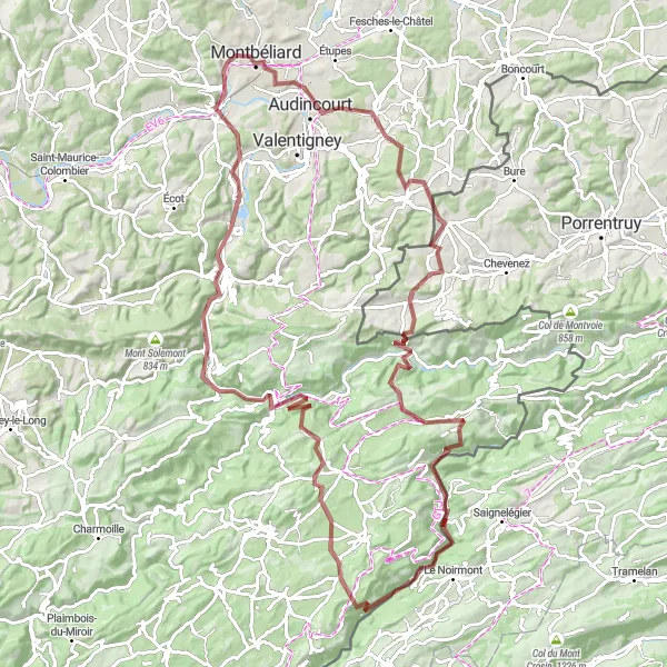
Embark on an exhilarating gravel journey through the captivating landscapes of Franche-Comté.
Get ready for an unforgettable adventure as you tackle this challenging 96 km gravel route with a total ascent of 1,622 meters. Discover the charm of Delle and enjoy the beauty of Col de Montvoie. Difficulty Level: 4 out of 5. Epicness Level: 4 out of 5.

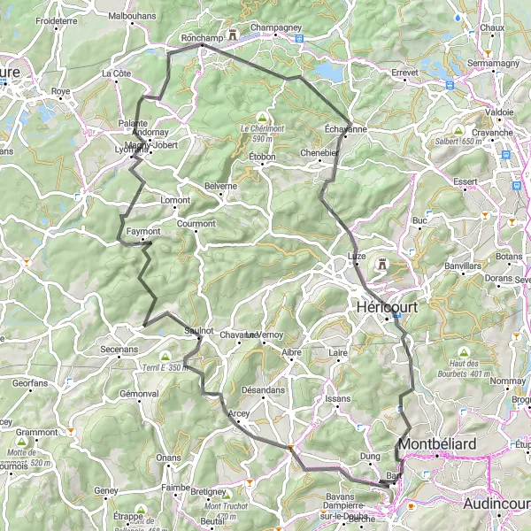
Experience the scenic beauty of Franche-Comté on this road cycling route
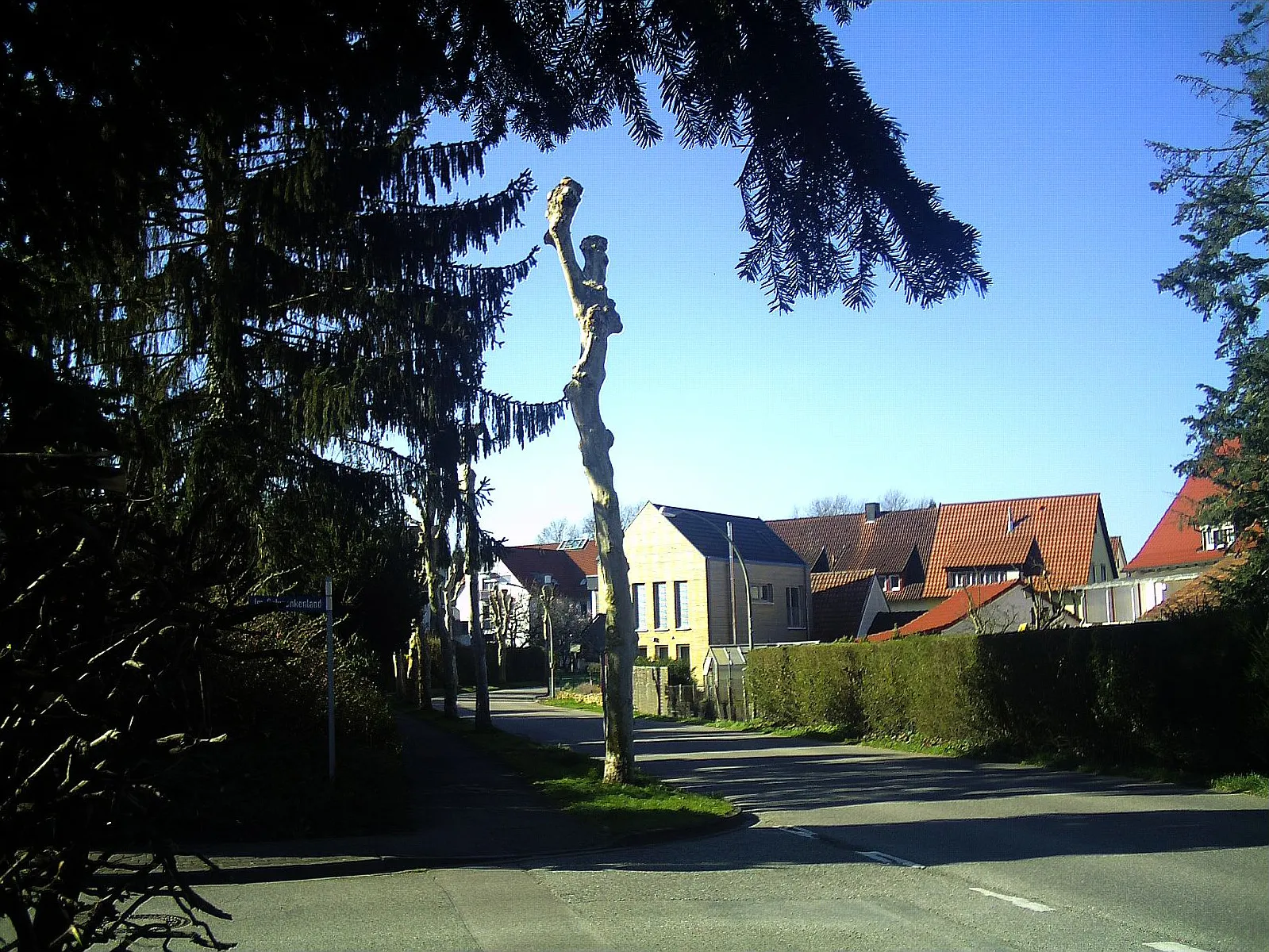
Immerse yourself in the natural beauty of the Franche-Comté region on this scenic road cycling route. With a total ascent of 711m over a distance of 61km, this ride is suitable for cyclists of moderate fitness levels. Starting near Bart, you'll pass through charming villages, peaceful countryside, and historic landmarks.
Explore the stunning Franche-Comté region on this mixed terrain cycling route
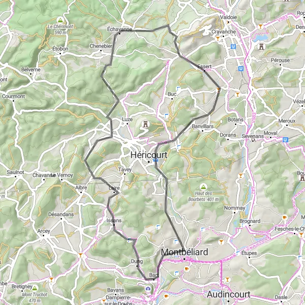
This route takes you through the beautiful Franche-Comté region, offering a mix of road and gravel riding. With a total ascent of 1946m over a distance of 149km, this ride is suited for well-trained amateur cyclists. The route starts near Bart and takes you through picturesque villages, stunning natural landscapes, and historic sites.
Hills and Valleys
Experience the stunning hills and valleys of Franche-Comté on this road cycling route
Get ready for a ride filled with scenic beauty and challenging climbs through the hilly landscapes of Franche-Comté. With a total ascent of 1031m over a distance of 79km, this route is suitable for experienced cyclists. Starting near Bart, you'll navigate winding roads, enjoy panoramic views, and conquer thrilling hills.
Explore the picturesque landscape around Montbéliard on this enchanting gravel route.
This gravel route takes cyclists through the stunning countryside near Montbéliard. The 42 km ride offers a pleasant challenge with 357 meters of ascent. Experience the beauty of Morvillars and Courcelles-lès-Montbéliard along the way. Difficulty Level: 3 out of 5. Epicness Level: 2 out of 5.
Explore the tranquil countryside of Franche-Comté on this road cycling route
Venture into the serene countryside of Franche-Comté on this scenic road cycling route. With a total ascent of 509m over a distance of 57km, this ride is suitable for cyclists of all levels. Starting near Bart, you'll pedal through picturesque landscapes, small villages, and peaceful backroads.
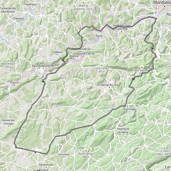
Embark on an epic road cycling adventure through the beautiful landscapes of Franche-Comté.
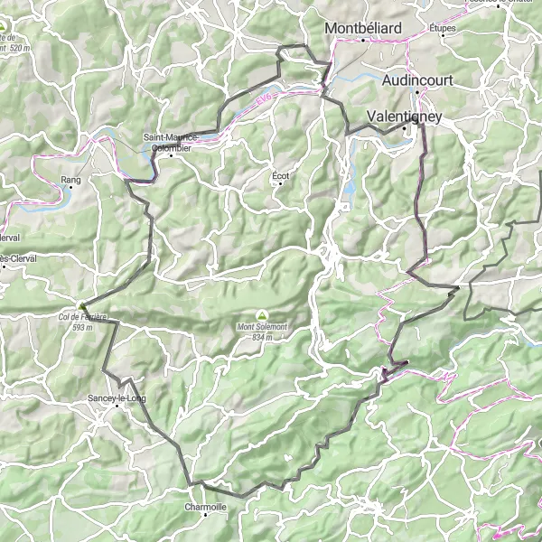
Get ready for an unforgettable journey as you tackle this challenging 102 km road cycling route with a stunning ascent of 1,583 meters. Discover the allure of Valentigney and enjoy the sweeping views from Col de Ferrière. Difficulty Level: 4 out of 5. Epicness Level: 4 out of 5.
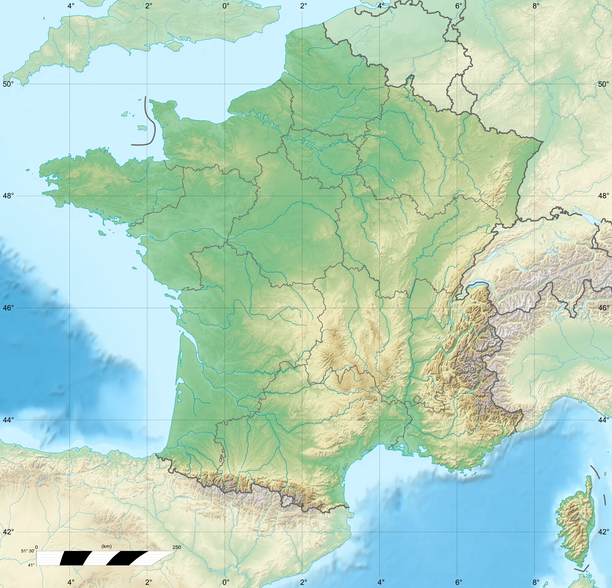
Cycling routes nearby:

Nearby regions: