Scenic routes and famous climb Ballon d'Alsace make Montbéliard a cycling paradise.
Cycling routes from Montbeliard
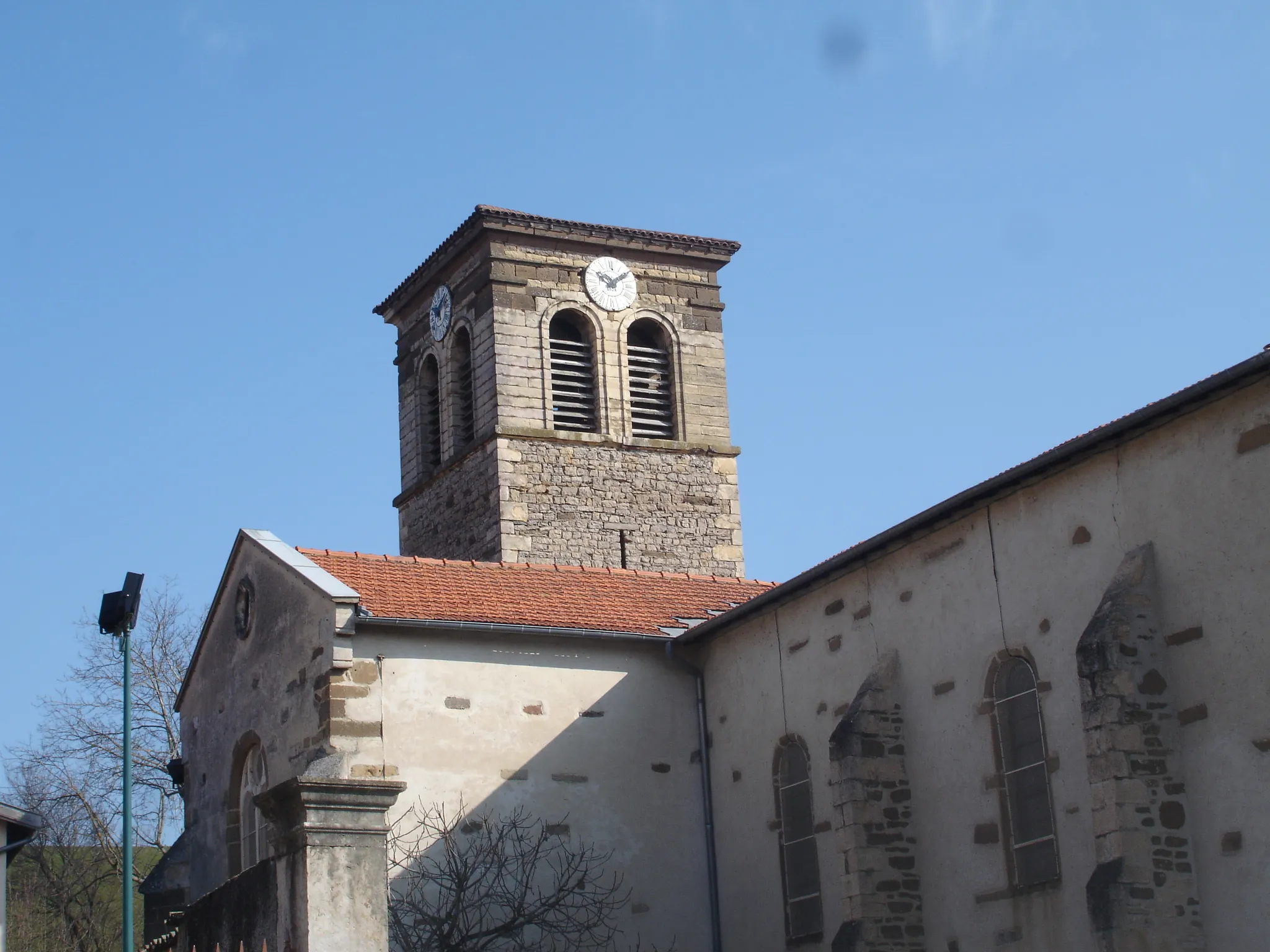
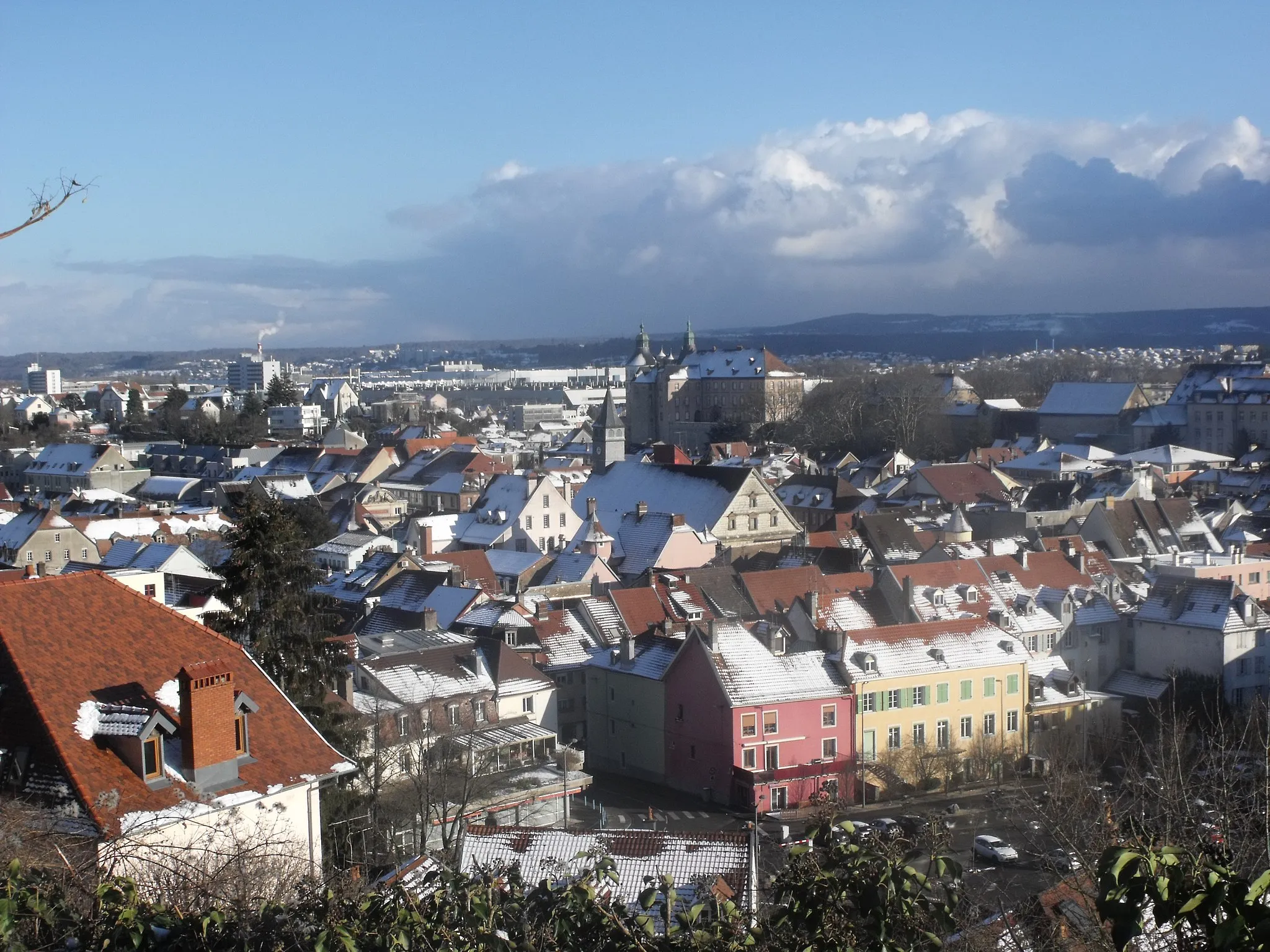
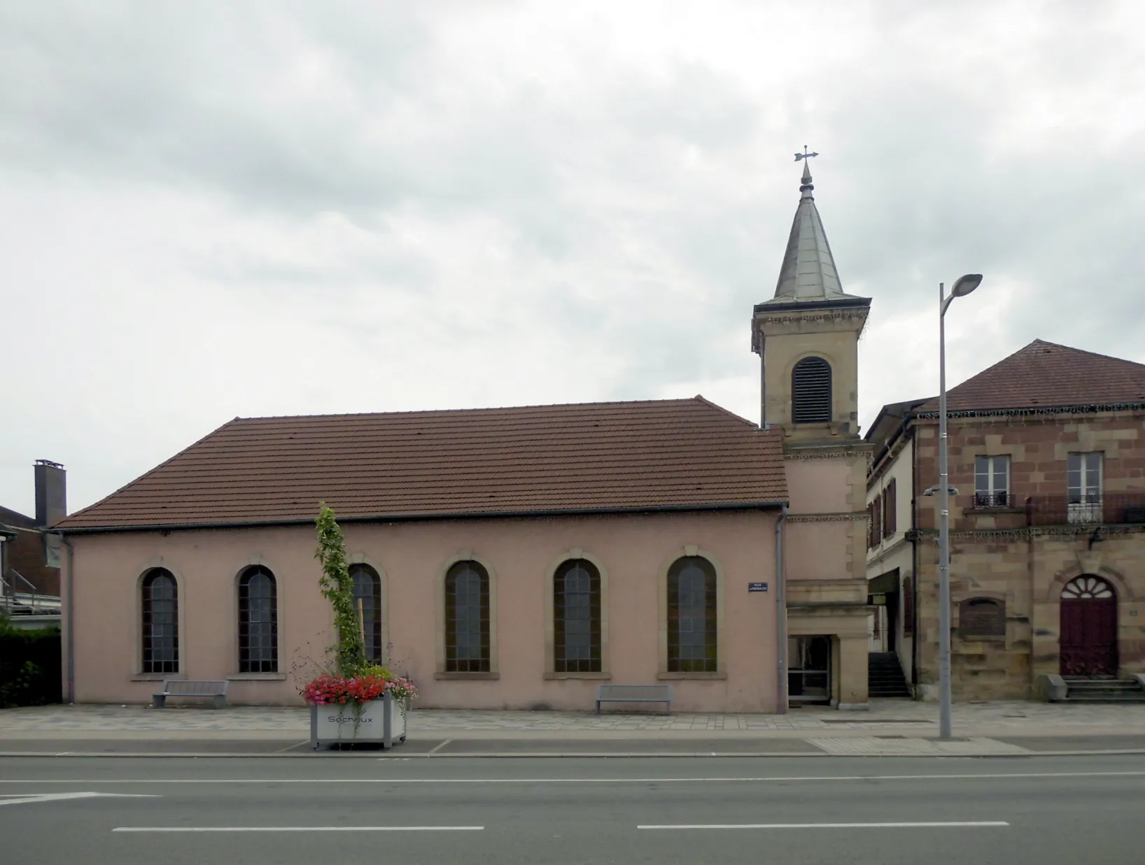
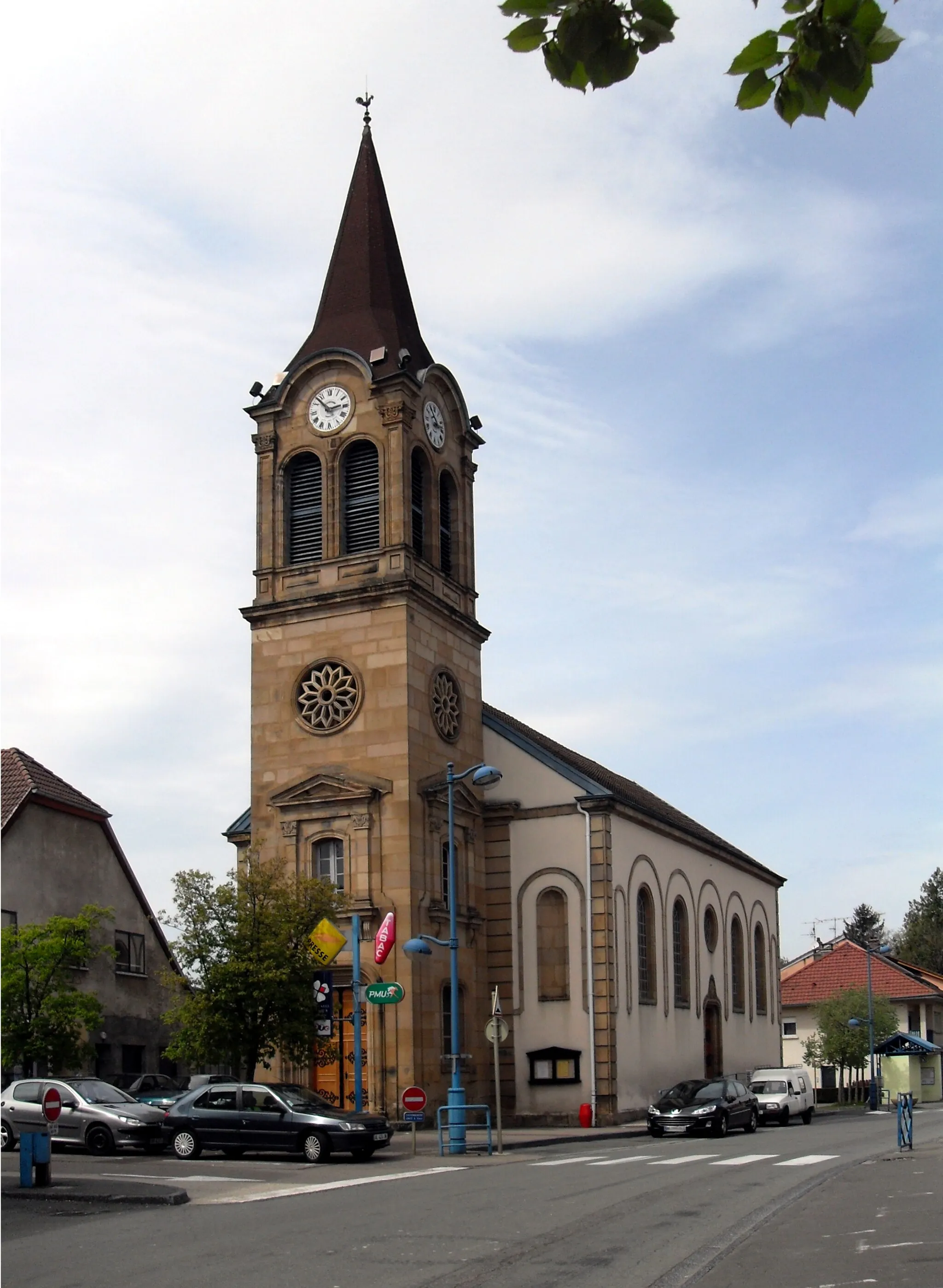
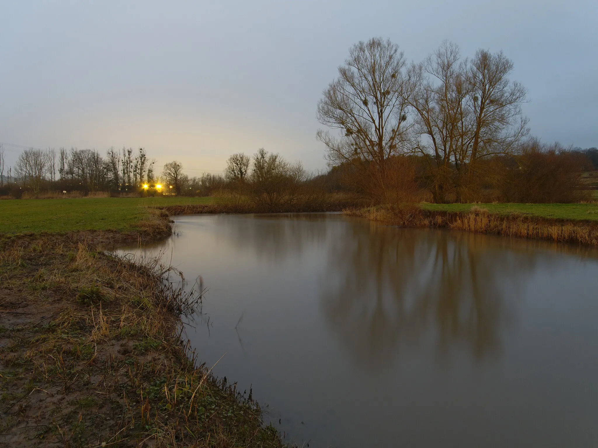
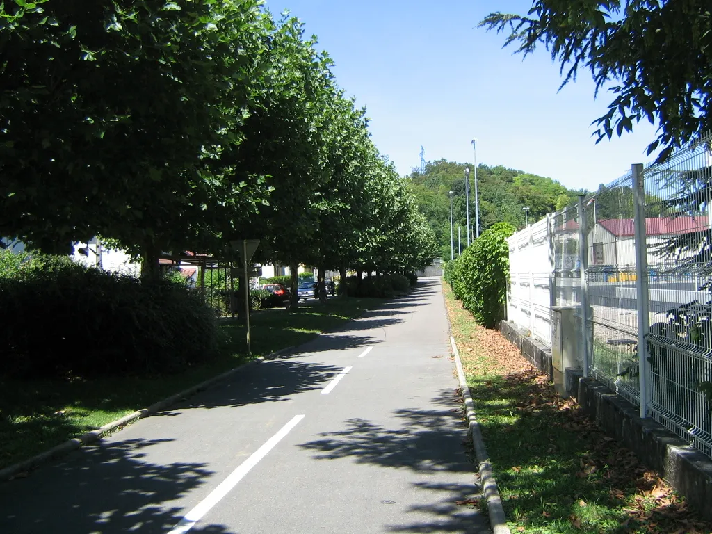
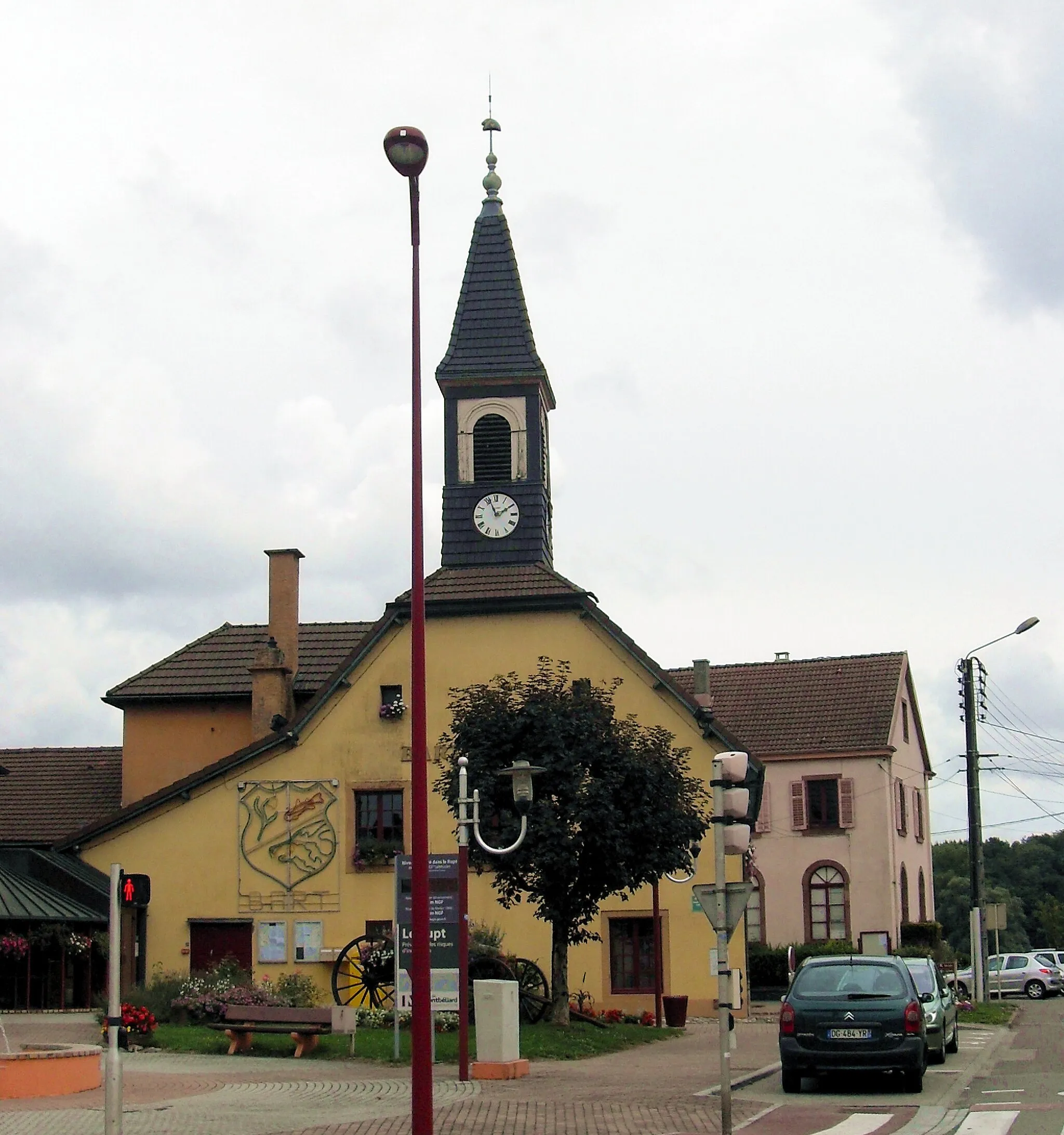
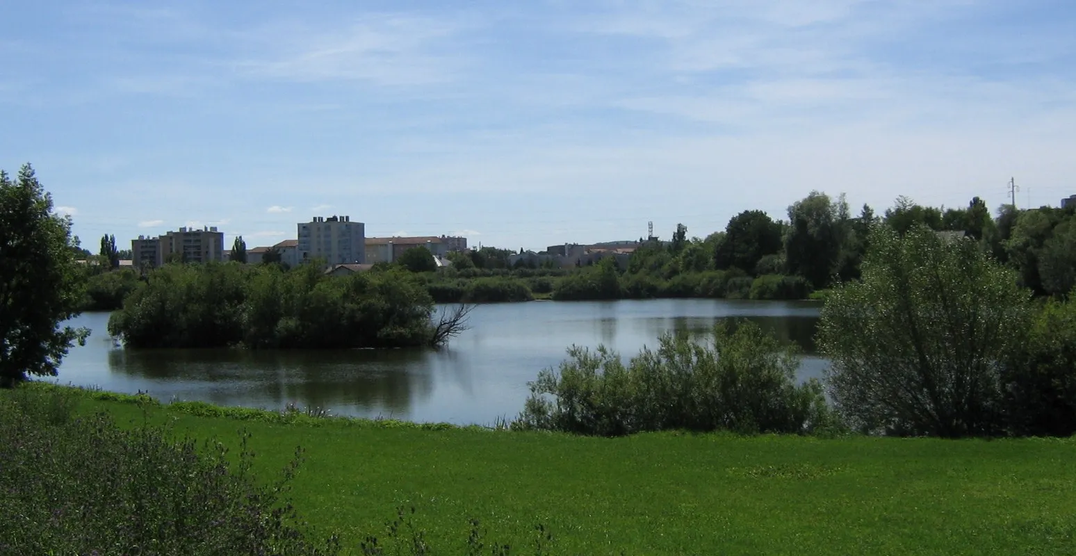
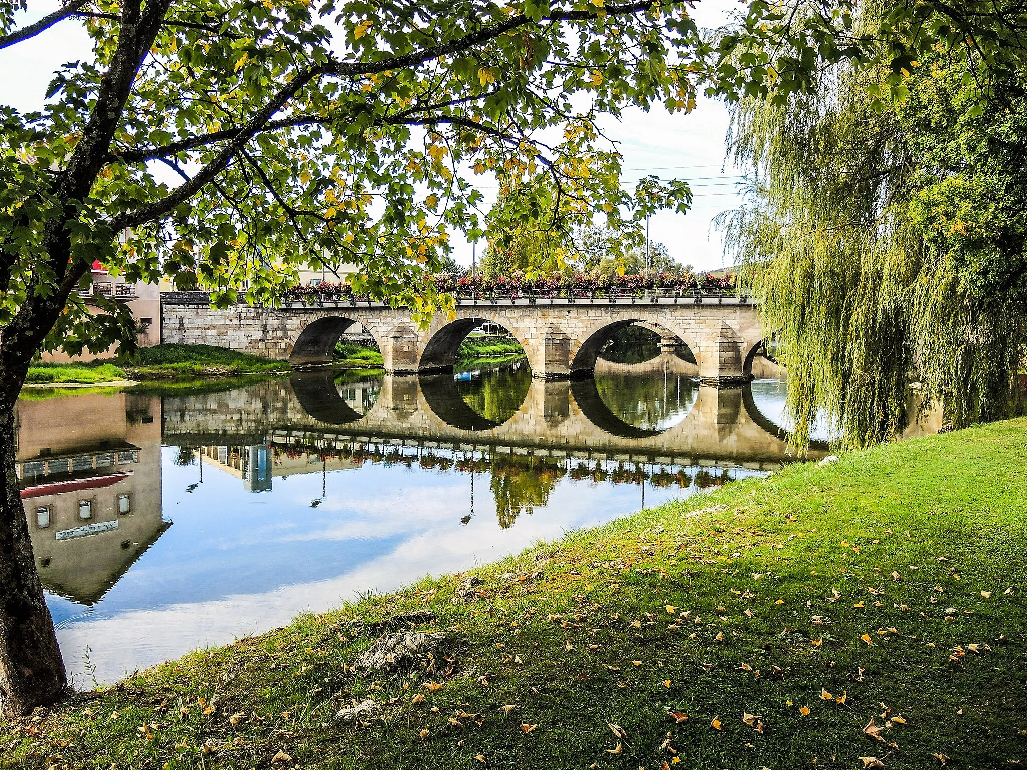
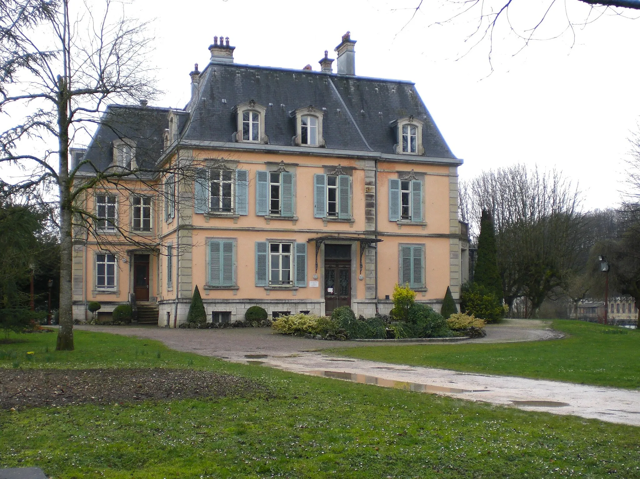
Montbéliard, situated in the Franche-Comté region of France, is a cyclist's dream destination. The locality offers a wide range of cycling routes, both on paved roads and gravel paths, perfect for all levels of riders. You can explore the beautiful countryside and charming villages, with breathtaking views throughout your ride. Montbéliard is renowned for its famous mountain pass, the Ballon d'Alsace, which is a challenging climb that attracts cyclists from far and wide. With its cycling-friendly infrastructure and picturesque surroundings, Montbéliard is a must-visit destination for road and gravel cyclists alike.
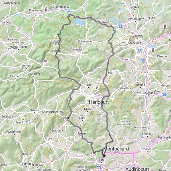
The Autrechêne Adventure
An exciting road route with a taste of historical charm
Embark on this road cycling tour near Montbéliard to discover the hidden wonders of the Autrechêne region. With a total ascent of 830 meters and a distance of 91 kilometers, this route offers a moderate challenge for cyclists of intermediate level. Highlights along the way include Autrechêne, known for its rich historical heritage and stunning architecture, as well as the Belfort Gap, offering scenic views of the surrounding mountains. Don't miss the opportunity to explore the charming villages of Gommersdorf and Mertzen, where you can immerse yourself in the local culture and enjoy the peaceful atmosphere. Overall, this route is a great choice for those seeking a balance between challenge and relaxation, while discovering the historical charm of Franche-Comté.
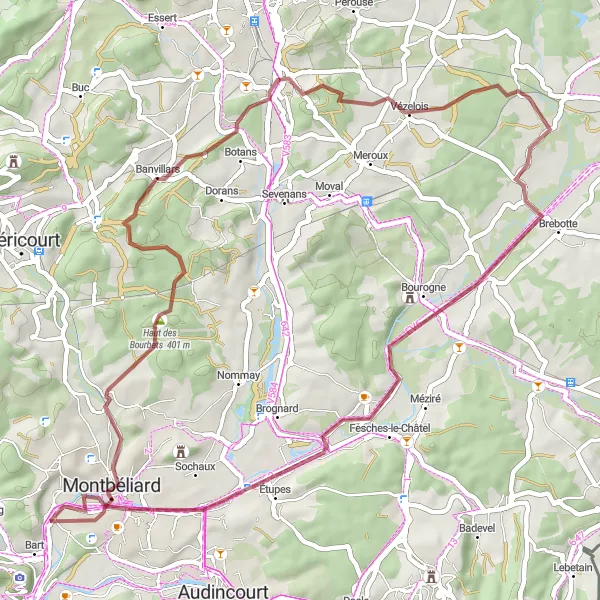
Embark on a thrilling gravel adventure near Montbéliard
The Gravel Adventure route near Montbéliard is perfect for cyclists looking for an off-road escapade. Covering a distance of 40 kilometers and with a total ascent of 314 meters, this gravel route offers a unique and exciting experience. Highlights such as Point de vue, a viewpoint with stunning vistas, and Bourogne, a charming village with traditional houses, add to the allure of this adventure. With a difficulty level of 3 out of 5, this route is suitable for well-trained amateurs seeking a gravel cycling challenge.
The Aibre Loop
An adventurous road loop with scenic highlights
This road cycling route near Montbéliard is a great choice for experienced cyclists looking to explore the picturesque Franche-Comté region. With a total ascent of 1000 meters and a distance of 69 kilometers, this loop offers a challenging yet rewarding experience. The route takes you through beautiful villages like Aibre and Étobon, where you can admire stunning architecture and immerse yourself in the local culture. Make sure to stop by Le Chérimont, known for its panoramic views of the surrounding countryside. Overall, this loop offers a diverse cycling terrain and an opportunity to discover the hidden gems of Franche-Comté.
Experience a scenic gravel loop around Montbéliard
The Montbéliard Gravel Loop is a 54-kilometer route that takes cyclists on a scenic adventure through the countryside. With a total ascent of 422 meters, this gravel route offers a mix of natural beauty and cultural highlights. Highlights include Montbéliard, the vibrant starting and ending point of the route, and Courcelles-lès-Montbéliard, a charming village with historical sites. Rated with a difficulty level of 4 out of 5, this route is suitable for well-trained amateurs seeking a challenging gravel cycling experience.
The Thiancourt Gravel Escape
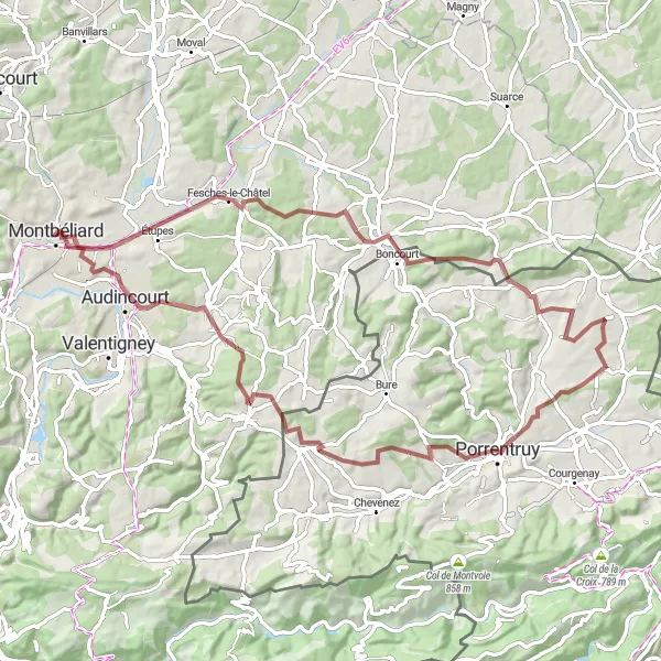
An adventurous gravel loop through varied landscapes
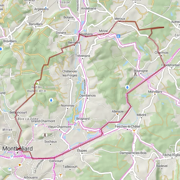
Indulge in the thrill of off-road cycling with this gravel loop near Montbéliard. Offering a challenging ride with a total ascent of 935 meters and a distance of 76 kilometers, this route is perfect for cyclists looking for excitement and diversity. Highlights along the way include the picturesque village of Thiancourt, where you can admire the traditional landscapes and charming architecture. Don't miss the opportunity to ride through Mont Renaud, an ancient Roman site surrounded by breathtaking natural beauty. As the route continues, Vendlincourt awaits with its scenic beauty and tranquil atmosphere. This gravel escape also passes through the charming villages of Abbévillers and Audincourt, providing a glimpse into the local culture and history of the region. Overall, this route offers an adventurous gravel escape through diverse landscapes and a chance to explore the hidden gems of Franche-Comté.
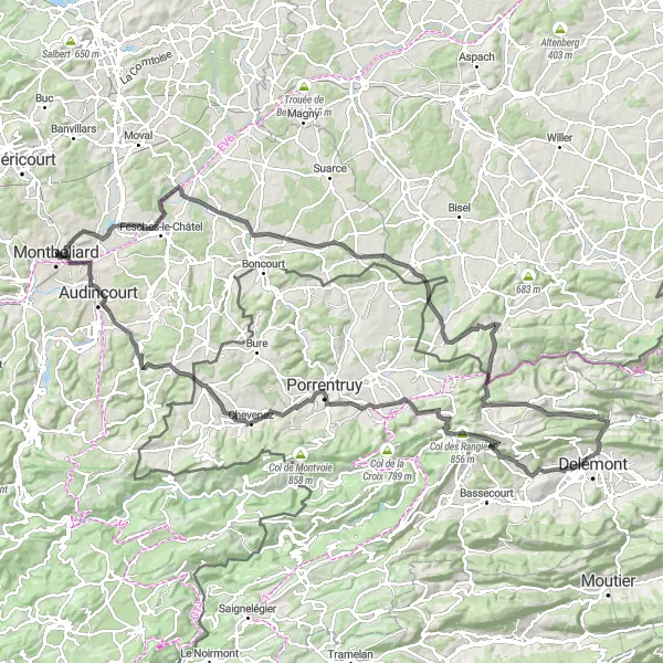
An epic road journey with cultural and natural highlights
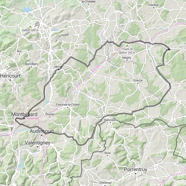
Embark on this epic road journey near Montbéliard and discover the rich cultural heritage and natural beauty of the Bourogne region. This challenging route has a total ascent of 1825 meters and covers a distance of 130 kilometers, catering to experienced cyclists seeking a true cycling adventure. Along the way, you will pass through Bourogne, a charming village known for its historical landmarks and impressive architecture. Don't miss the opportunity to explore Pfetterhouse, located on the border with Germany, and take in the unique cross-cultural atmosphere. The route also offers a chance to experience the stunning landscapes of Oberlarg and Delémont, with their picturesque surroundings and captivating vistas. Overall, this classic road journey showcases the best of cycling in Franche-Comté, combining challenging terrains with cultural and natural highlights.
A thrilling gravel loop with scenic highlights
Venture into the world of gravel cycling with this exciting route near Montbéliard. Offering a challenging ride with a total ascent of 1267 meters and a distance of 77 kilometers, this loop is tailored for experienced cyclists seeking adventure. Highlights along this route include the picturesque villages of Champey and Clairegoutte, where you can enjoy the tranquility of the countryside and marvel at the natural beauty of the region. Make a stop at Terril du Tonnet, a former coal mine turned nature reserve, and take in the stunning views from its observation deck. The route also passes through Châlonvillars, a charming town known for its cultural heritage and historic buildings. Overall, this gravel challenge offers an exhilarating experience through diverse terrains and the opportunity to explore the lesser-known gems of Franche-Comté.
Montbéliard Circuit
A thrilling road cycling route near Montbéliard
The Montbéliard Circuit is a challenging road cycling route that covers a distance of 89 kilometers and has a total ascent of 865 meters. This route offers beautiful scenery and takes cyclists through picturesque towns and hilly areas. With highlights like the Rock, a notable rock formation, and Mont Truchot, a scenic spot with breathtaking views, this route guarantees an exciting and memorable cycling experience. The Montbéliard Circuit is suitable for well-trained amateurs and is rated with a difficulty level of 4 out of 5.
A scenic road loop passing through Faymont with highlights including Colline de Bourlémont.
Embark on a scenic road cycling adventure with this 81-kilometer loop starting near Montbéliard. Pass through the idyllic village of Faymont, surrounded by rolling hills and tranquil scenery. One of the highlights along the route is the majestic Colline de Bourlémont, offering stunning panoramic views of the region. With a total ascent of 896 meters, this route presents a moderate challenge suitable for well-trained amateur riders. The difficulty level is rated as 4, while the epicness rating stands at 4 as well.
Exploring Bethoncourt on Gravel
An enjoyable gravel route that takes you on a journey through Bethoncourt and Sochaux.
Discover the enchanting village of Bethoncourt and the captivating landscapes surrounding it with this adventurous gravel route near Montbéliard. Enjoy a scenic ride as you explore beautiful villages and experience the joy of cycling on rugged terrain. Pass by the historical landmarks of Bethoncourt and delve into its rich cultural heritage. With a distance of 61 kilometers and an ascent of 435 meters, this route presents a moderate challenge suitable for passionate gravel riders. Its difficulty level is rated 3, while the epicness rating is 3 as well.
Cycling routes nearby:
Nearby regions: