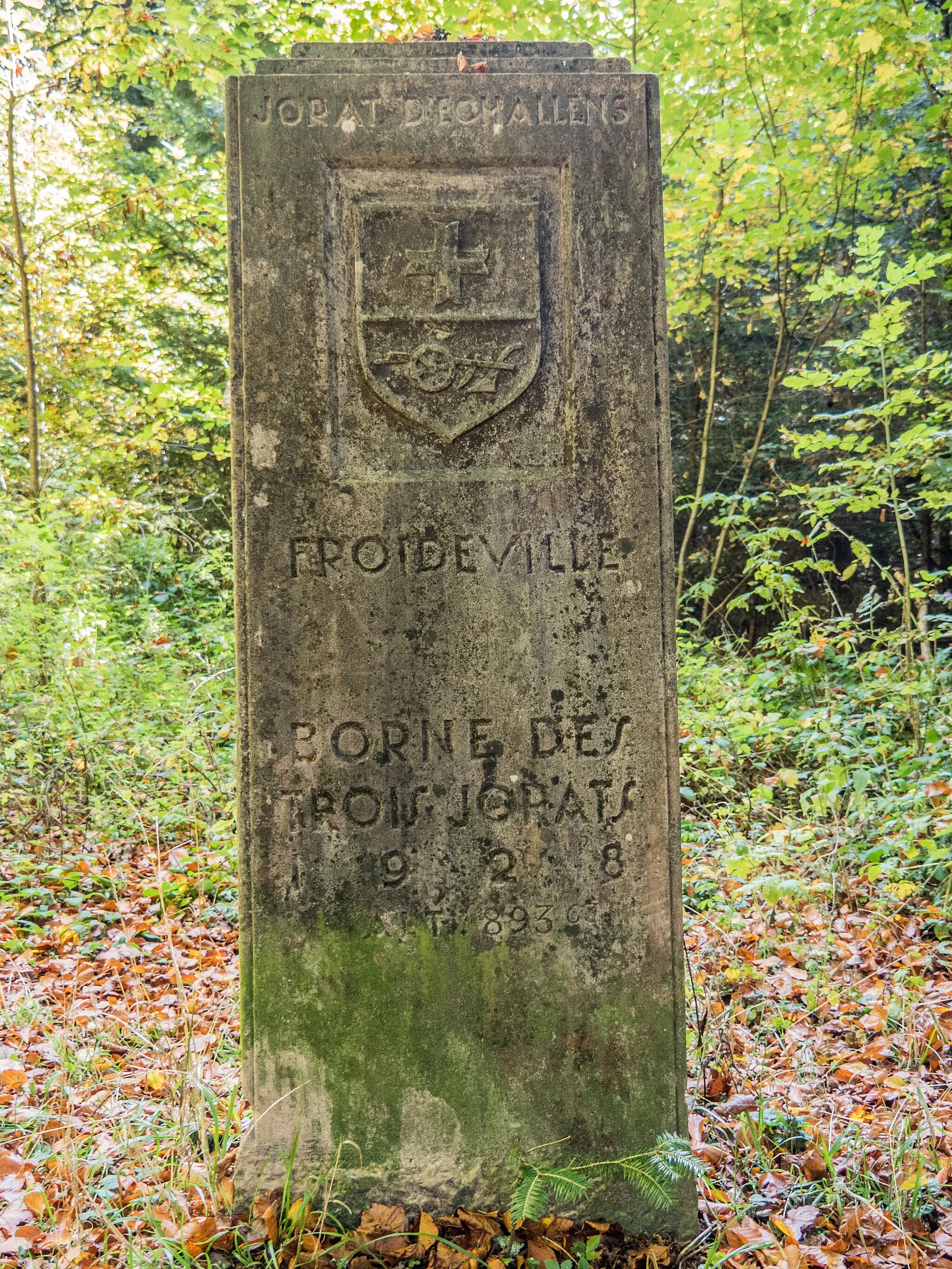
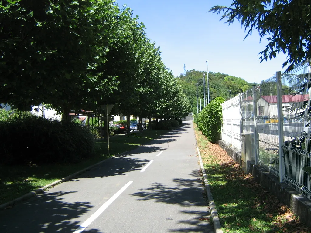
Scenic locality with rolling hills and access to nearby towns.
Cycling routes from Voujeaucourt
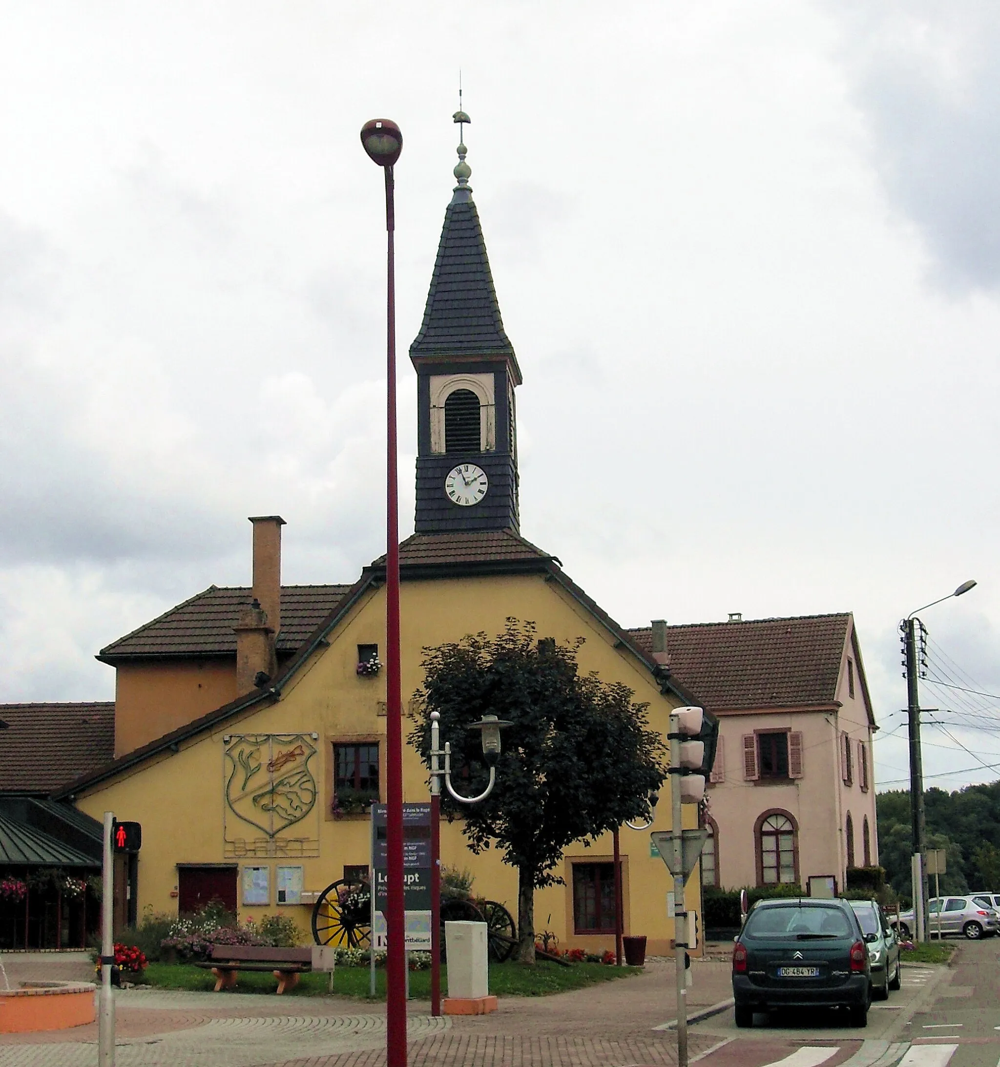
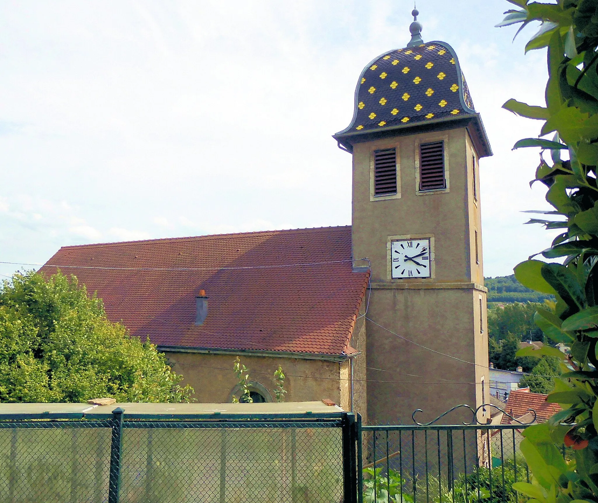
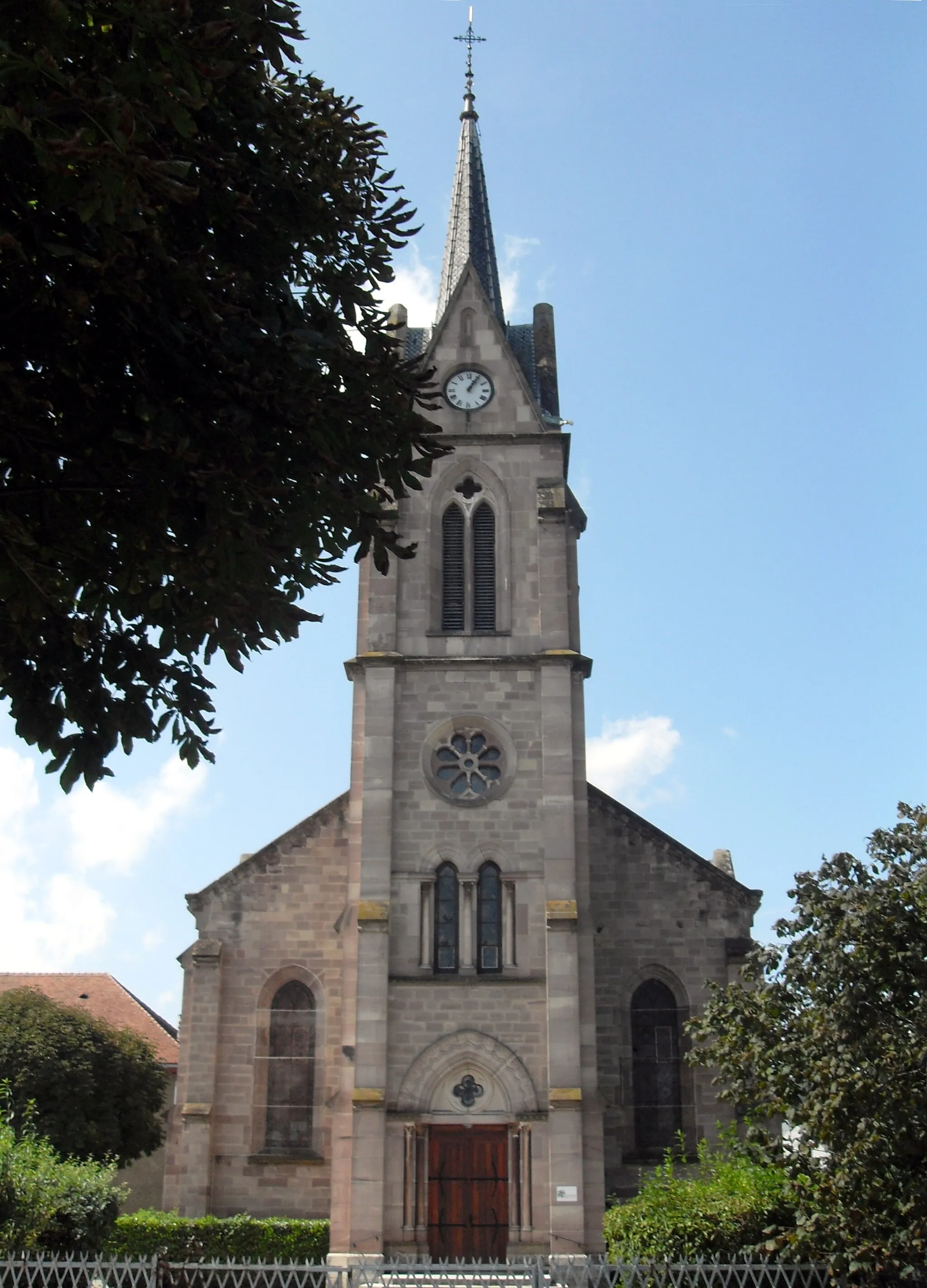
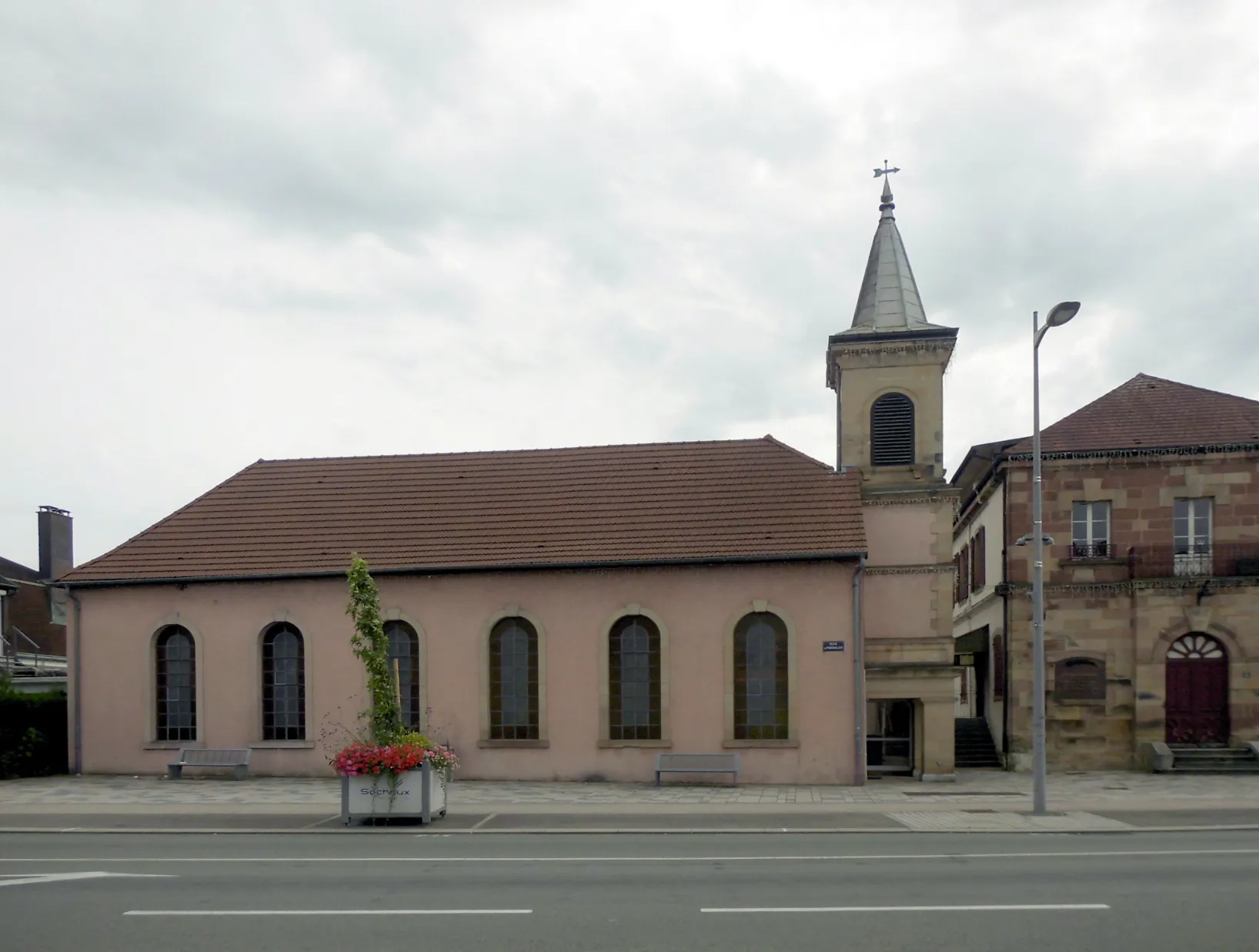
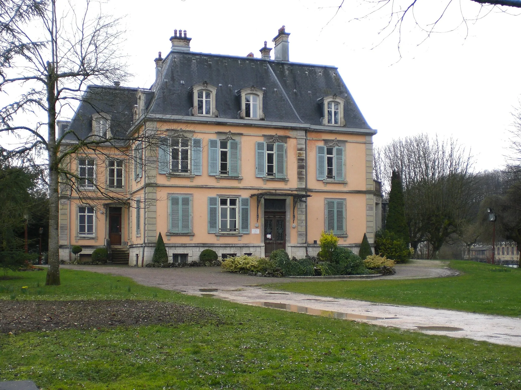
Voujeaucourt is a locality in Franche-Comté, France. This region offers a range of cycling routes suitable for road and gravel cyclists. With its rolling hills and picturesque landscapes, Voujeaucourt provides a pleasant cycling experience. Cyclists can enjoy scenic rides through the countryside and visit nearby towns such as Montbéliard and Belfort. While there are no specific famous cycling spots or well-known climbs in the immediate vicinity, the area's natural beauty and variety of routes make it a worthwhile destination for cyclists of all abilities.
Take a scenic road biking adventure around Voujeaucourt
Immerse yourself in the picturesque landscapes and uncover the charm of Franche-Comté on this unforgettable road cycling route. From stunning viewpoints to quaint villages, each moment of this journey is filled with beauty and fascination. Highlights include the iconic 'Rock' formation, the serene village of Coisevaux, and historical sites like Belfort. Enjoy the perfect balance of natural wonders and cultural heritage as you pedal through the enchanting region.
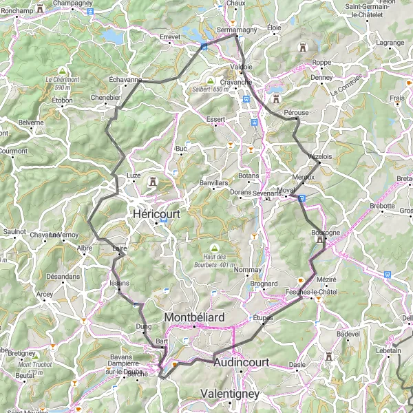
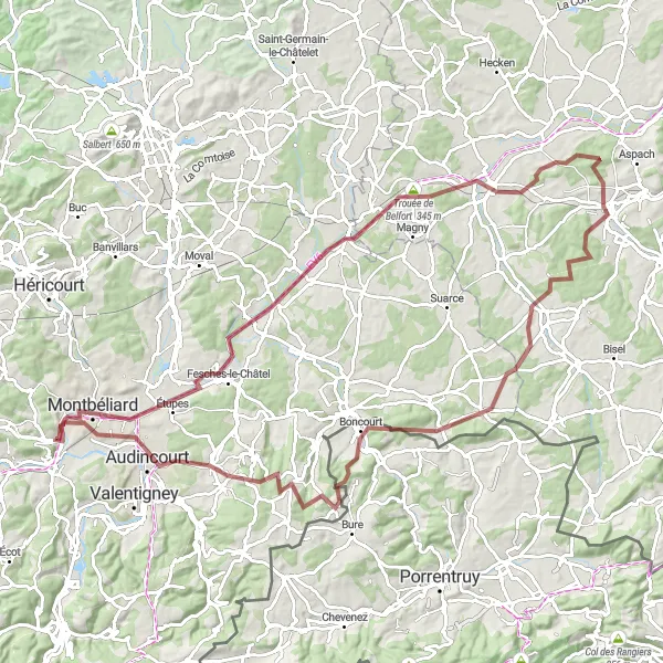
Embark on an epic gravel journey through Franche-Comté, conquering challenging terrains and encountering stunning natural highlights along the way.
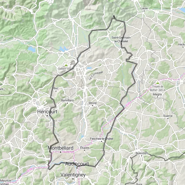
This 129-kilometer gravel route starting near Voujeaucourt is perfect for adventurous cyclists seeking a thrilling challenge. With a grueling total ascent of 2,816 meters, this route is recommended for experienced riders. Prepare to be amazed by the breathtaking scenery, rock formations, and quaint villages that make this epic adventure truly memorable.
Conquer the challenging climbs and soak in the stunning landscapes
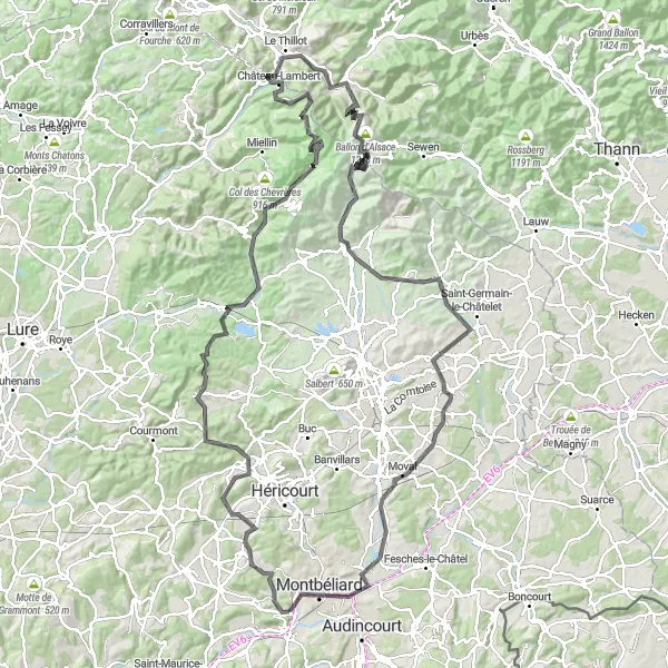
Prepare to be amazed by the splendors of Franche-Comté on this incredible road cycling journey. With over 2,000 meters of ascent, this route presents a true test of endurance and skill. En route, you will encounter various highlights, including the famous Ballon d'Alsace and the picturesque village of Col des Croix. Immerse yourself in the region's natural beauty as you travel through charming towns and witness breathtaking views at every turn.
Experience the beauty of Franche-Comté's diverse landscapes
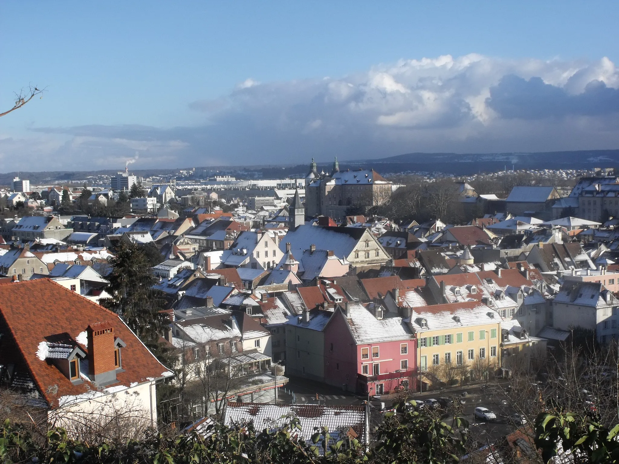
This round-trip cycling route encompasses a variety of terrains, taking you through picturesque countryside, charming towns, and challenging mountainous regions. The journey begins near Voujeaucourt in Franche-Comté, known for its stunning natural beauty and cultural heritage. You'll encounter rocky formations, such as 'La Roche', and explore historic towns like Montbéliard. The route provides an overall exciting adventure, perfectly suited for both road and gravel bikes.
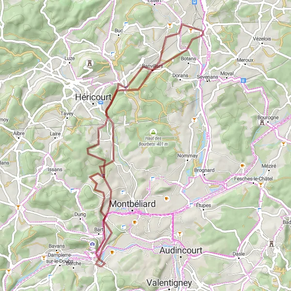
A leisurely ride through the scenic countryside
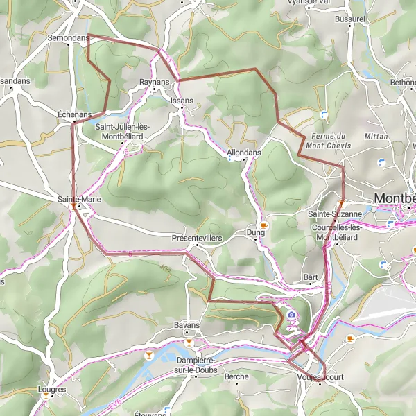
The Explore the Countryside route offers a leisurely ride through the picturesque countryside near Voujeaucourt. With a distance of 50 km and an ascent of 610 meters, this route provides a pleasant cycling experience suitable for all skill levels. Highlights of the route include Bussurel, Banvillars, Vyans-le-Val, and the impressive Rock. This route is perfect for those looking to enjoy the tranquility of the countryside and admire the natural beauty of Franche-Comté.
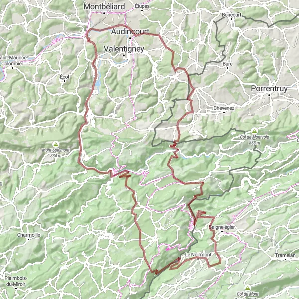
Embark on the ultimate road cycling challenge and conquer the legendary climbs of Franche-Comté. Breathtaking landscapes and iconic spots await along this strenuous route.
This 148-kilometer road route starting near Voujeaucourt is designed for experienced riders seeking an adrenaline-fueled adventure. With a demanding ascent of 2,306 meters, this route offers a high level of difficulty. Prepare to push your limits as you tackle legendary climbs and witness awe-inspiring natural beauty and iconic landmarks that define Franche-Comté.
Embark on a thrilling gravel bike journey near Voujeaucourt
Looking for a short yet action-packed cycling adventure? This gravel route is the answer. With a moderate ascent and a manageable distance, it allows you to fully experience the thrill of off-road cycling. Along the way, you'll encounter the iconic 'Rock' formation and visit the historic town of Montbéliard. The route promises excitement and scenic beauty, making it ideal for a weekend getaway or a quick adrenaline fix.
The Chateau Loop
Discover the region's historic chateaus on this challenging road cycling route
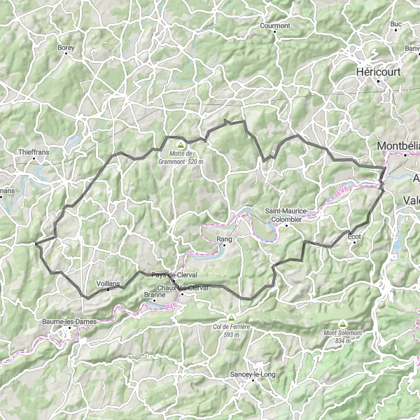
The Chateau Loop is a 102-kilometer road cycling route that takes you through the enchanting countryside of Franche-Comté. With a total ascent of 1502 meters, this route is perfect for cyclists looking for a challenge.
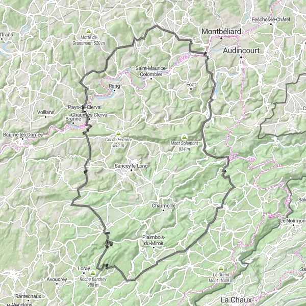
The Jura Ridge
Cycling through the stunning Jura mountains
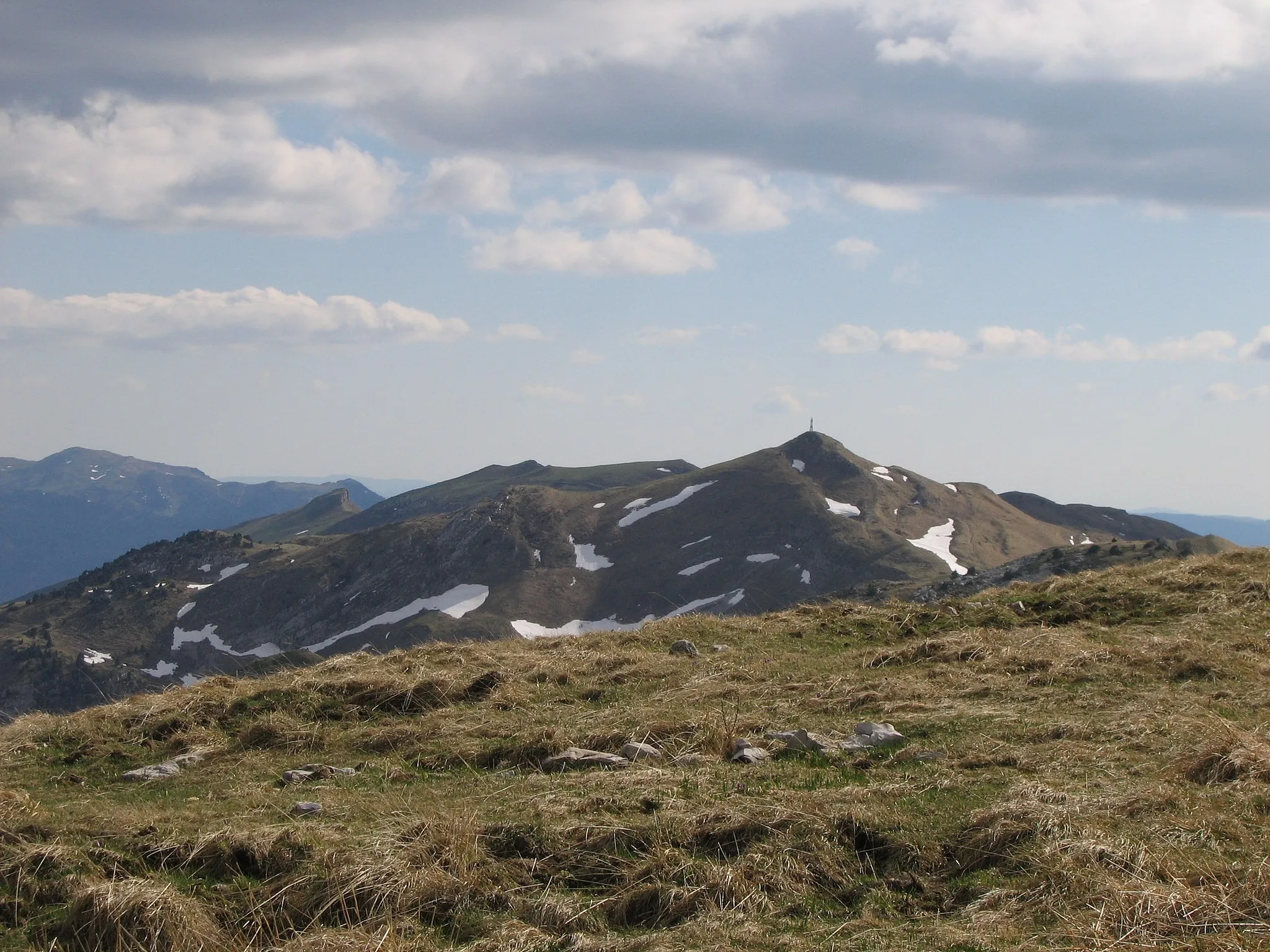
This route takes you through the beautiful Jura mountains, providing breathtaking views along the way. With a distance of 95 km and an ascent of 825 meters, it offers a moderate challenge for well-trained cyclists. The route starts near Voujeaucourt and passes through notable highlights such as the impressive Rock, Brevilliers, Châlonvillars, and the iconic Piton d'Éloie. The Jura Ridge route is a perfect choice for those who love scenic mountain views and want to explore the natural beauty of Franche-Comté.

Conquer the Jura mountain range on this challenging road cycling route through Franche-Comté.
Embark on an epic journey through the picturesque region of Franche-Comté, as you tackle the Jura Mountain Challenge. This road cycling route offers breathtaking scenery, challenging ascents, and the opportunity to explore charming villages along the way. With a total ascent of 2413 meters and a distance of 116 kilometers, this route is not for the faint of heart. However, the reward is well worth the effort, as you'll be treated to stunning mountain vistas and memorable riding experiences.
Cycling routes nearby:

Nearby regions: