Exploring the peaceful roads of Audincourt
Cycling routes from Audincourt
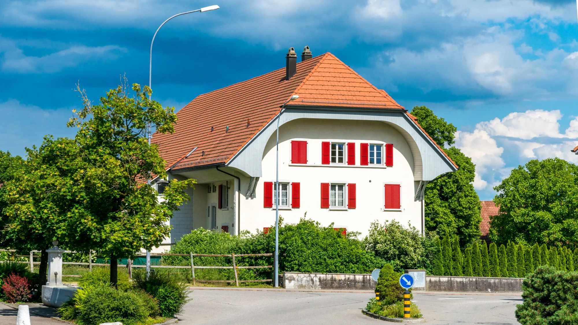
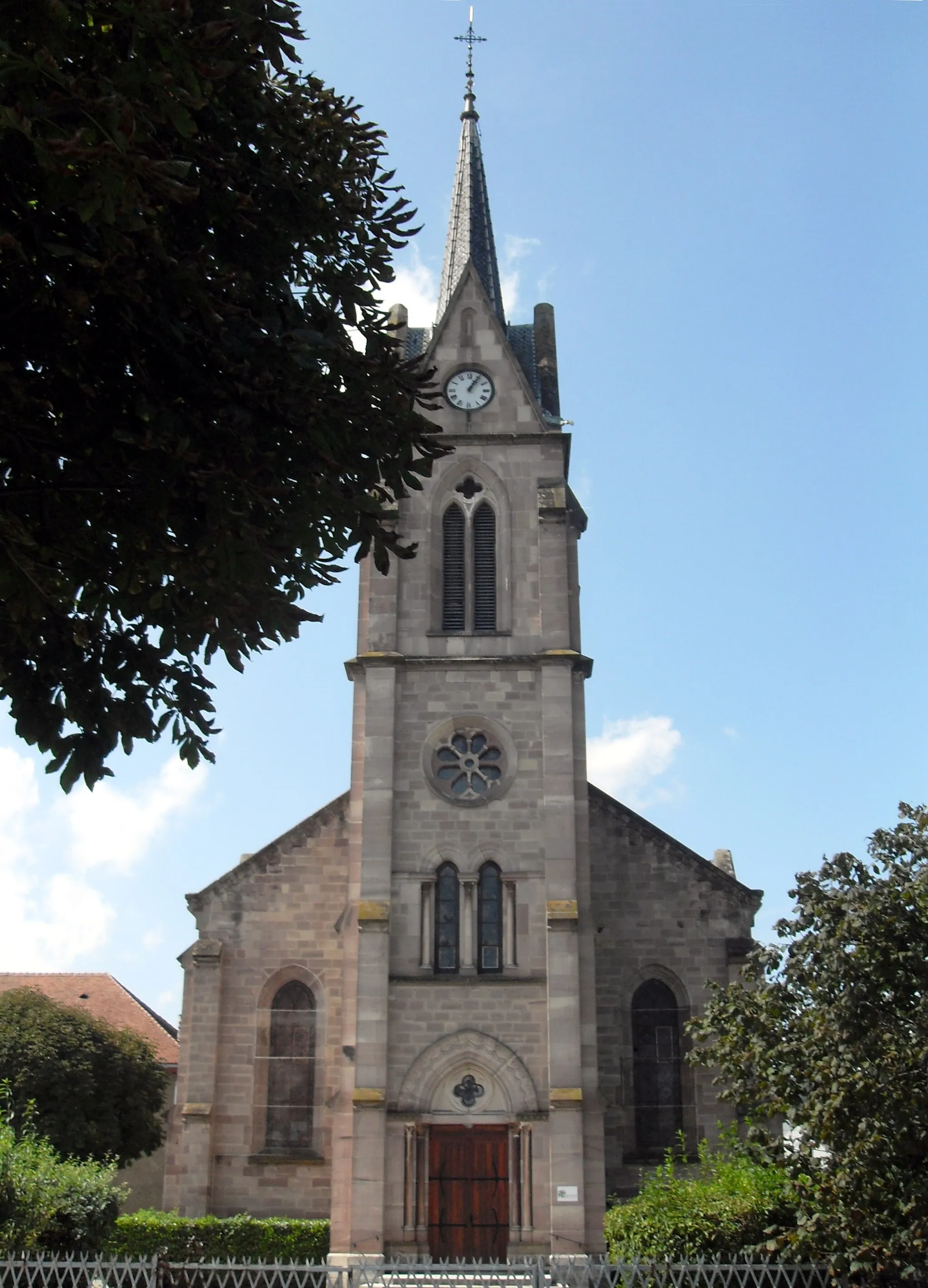
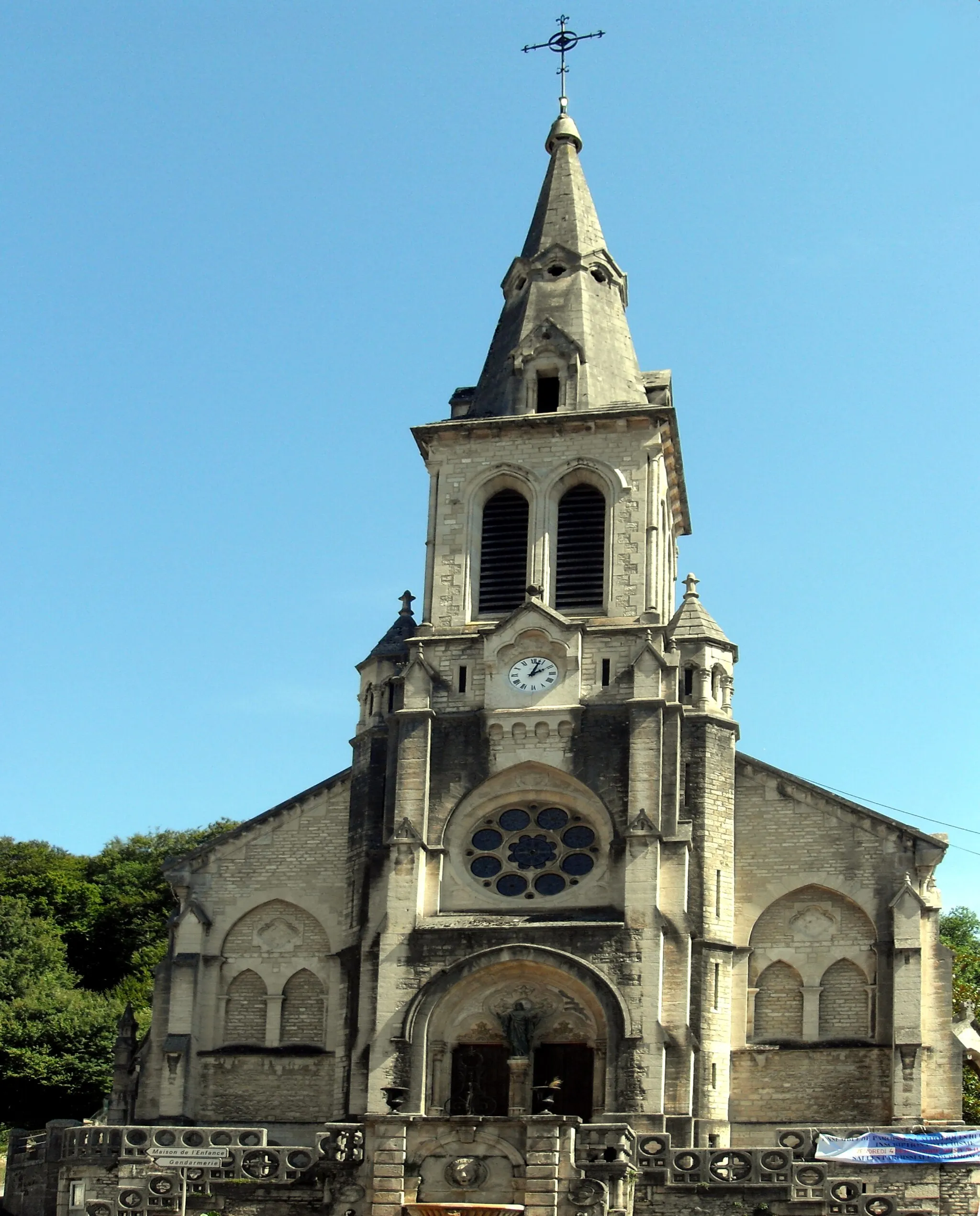
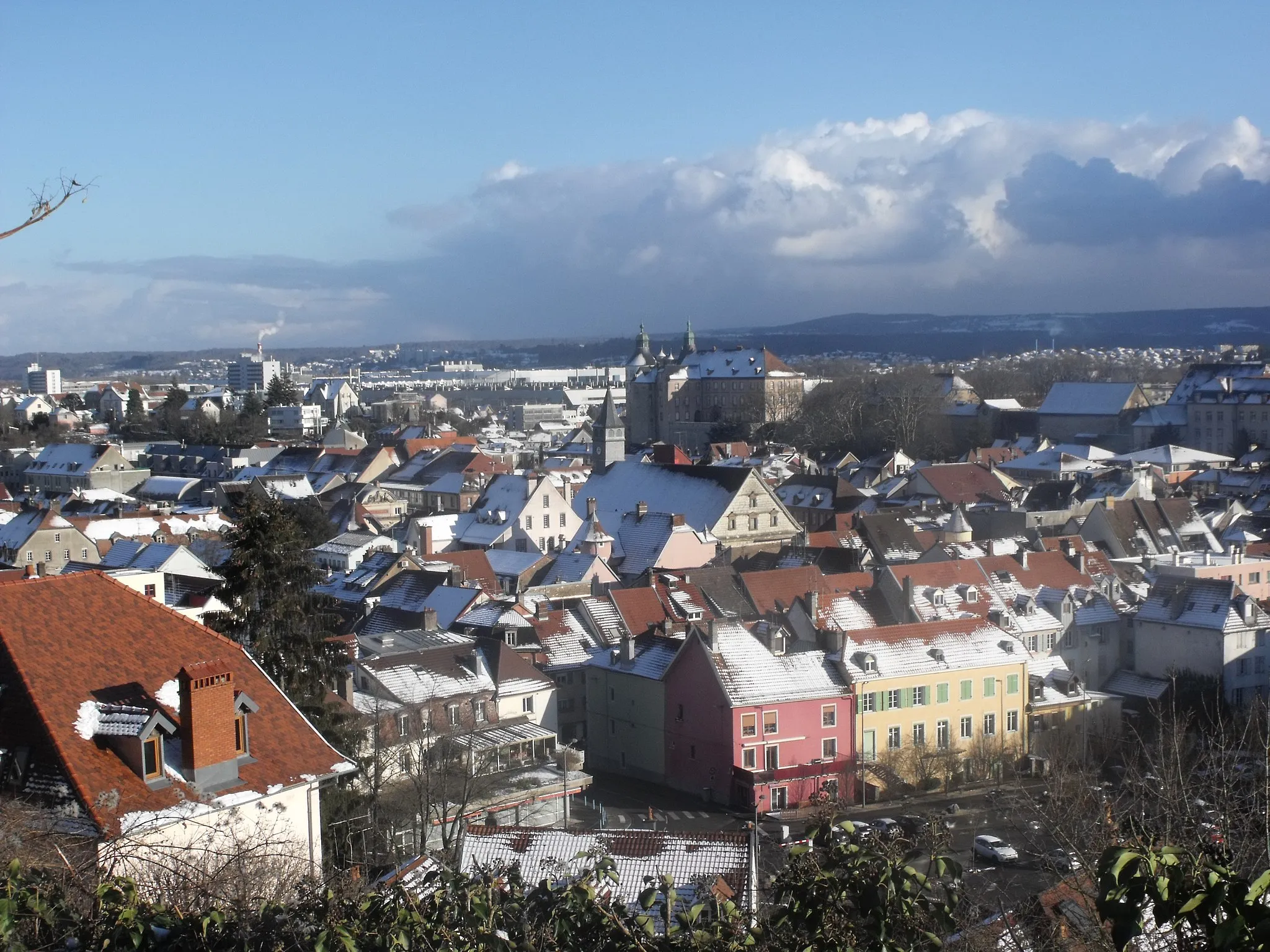
Audincourt is a town situated in the Franche-Comté region of France. From a cyclist's point of view, it offers primarily road cycling opportunities. The locality has good road infrastructure with moderate traffic, making it suitable for road cycling enthusiasts. However, there are no famous cycling spots or noteworthy climbs in the immediate vicinity. Overall, Audincourt is a decent option for road cyclists looking for enjoyable rides in a peaceful environment.
Hidden Gems of the Jura
Road route through hidden gems of the Jura region
Embark on a road cycling adventure through the hidden gems of the Jura region. This 61 km route offers a moderate challenge with an ascent of 500 m. Explore the charming towns and rolling countryside as you pedal through Exincourt, Montreux-Jeune, Delle, and Seloncourt. The route showcases the beauty of the Jura landscape and provides glimpses into the local culture and history.
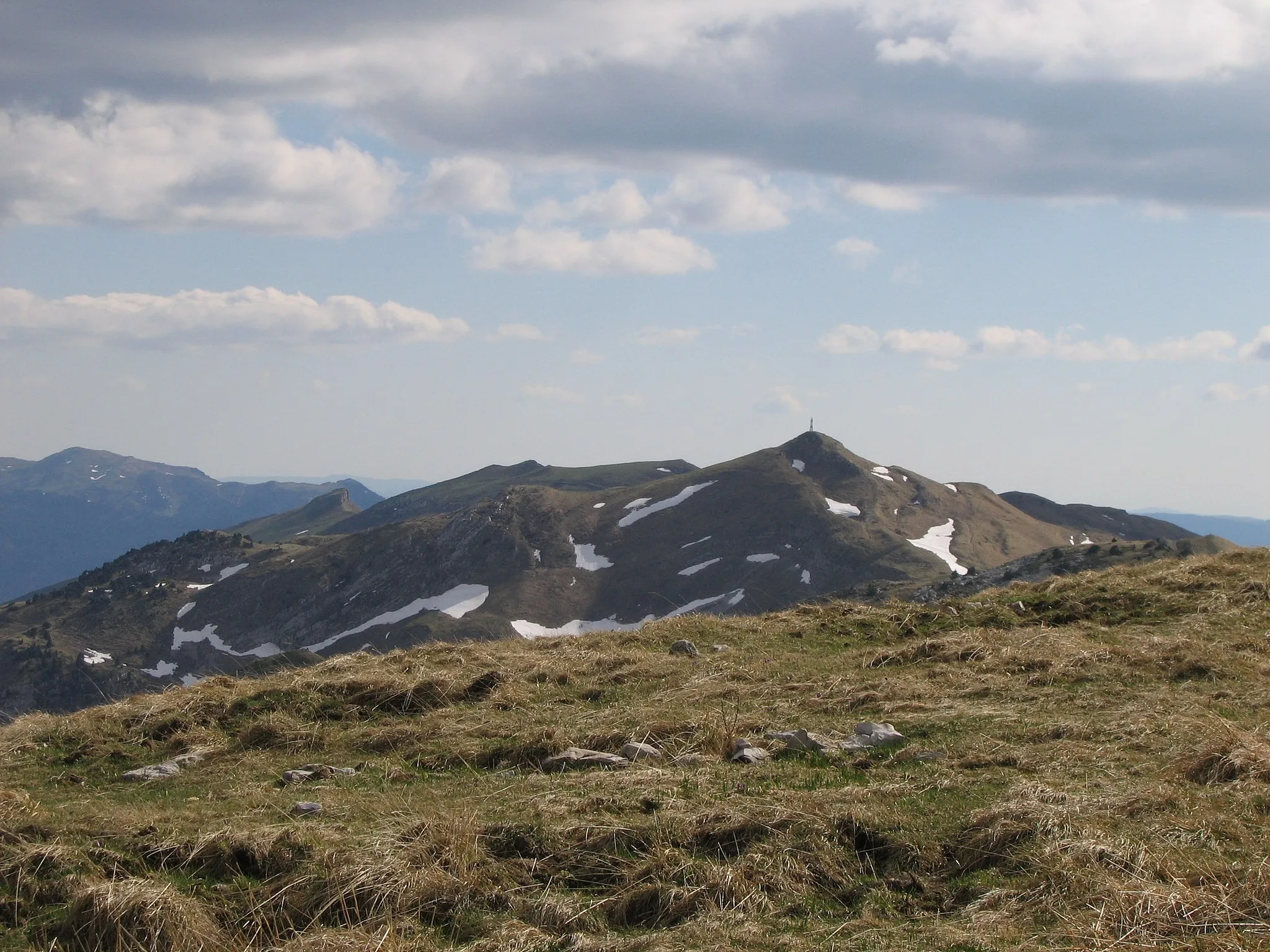
Embark on a thrilling gravel adventure through the untamed beauty of Franche-Comté.
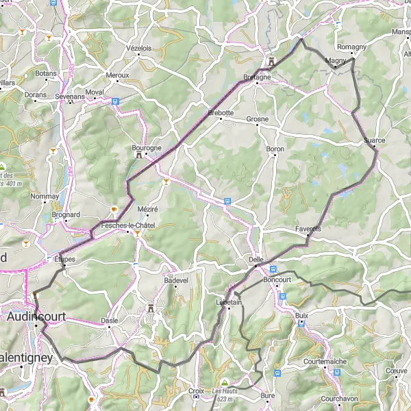
This round-trip gravel cycling route near Audincourt takes you on an epic adventure through rugged terrain and scenic landscapes. With an ascent of 2607 meters and a distance of 110 kilometers, this route is challenging and exhilarating. Cyclists will be rewarded with breathtaking views and a sense of accomplishment. The difficulty level of this route is high, making it suitable for experienced cyclists who enjoy off-road challenges. Highlights along the route include Blamont, Les Bréseux, Le Faux Verger, Rosureux, Belleherbe, Valonne, Voujeaucourt, and Château Benjamin Peugeot, each offering its own unique charm and picturesque scenery. Get ready for an unforgettable gravel adventure in Franche-Comté.
Gravel Route to Mathay
Discover the charming village of Mathay on this scenic gravel route.
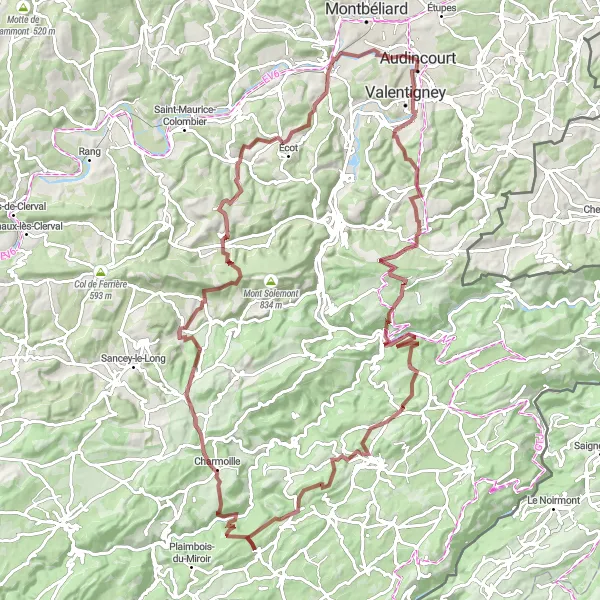
Embark on a gravel adventure to explore the beautiful landscapes of Franche-Comté. This route takes you through rolling hills, picturesque villages, and serene countryside. With an ascent of 1162 meters over a distance of 64 kilometers, it offers a moderate challenge for well-trained amateurs. Experience the thrill of off-road cycling while enjoying the tranquility of nature.
The Valley Discovery
Explore the scenic valleys and ancient landmarks on this road cycling route.
This round-trip road cycling route near Audincourt takes you on a journey through picturesque valleys and scenic landscapes. With an ascent of 1368 meters and a distance of 101 kilometers, this route offers a moderate challenge for amateur cyclists. Highlights along the route include Pont-de-Roide-Vermondans, Vernois-lès-Belvoir, Mont de Vey, Randevillers, Saint-Georges-Armont, Faimbe, Mont Truchot, Courcelles-lès-Montbéliard, Rock, and Courcelles-lès-Montbéliard, each offering its own unique charm and historical significance. The difficulty level of this route is moderate, making it suitable for well-trained amateur cyclists. Immerse yourself in the beauty of Franche-Comté and discover hidden gems along the way.
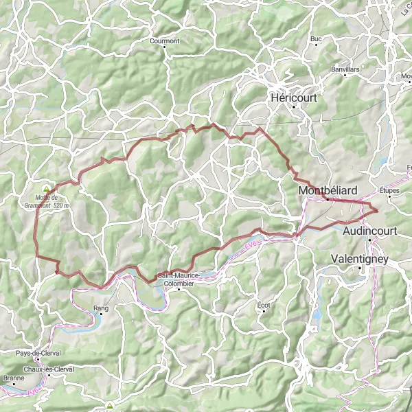
The Terril D Challenge

Conquer the challenging ascent of the Terril D and be rewarded with breathtaking views.
This round-trip cycling route near Audincourt takes you on a thrilling journey through winding roads and picturesque landscapes. The highlight of this route is the challenging climb up Terril D, offering magnificent views of the surrounding area. The difficulty level of this route is moderate, making it suitable for well-trained amateur cyclists. With an ascent of 780 meters and a distance of 75 kilometers, this route offers the perfect balance of challenge and enjoyment.
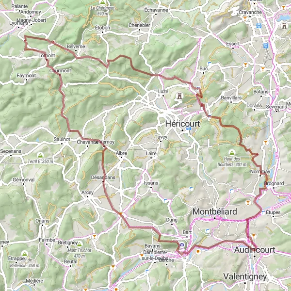
Embark on an exciting gravel adventure through the scenic Belfort region.
This gravel route offers an exciting cycling experience through the captivating Belfort region. With an ascent of 1065 meters over a distance of 77 kilometers, it presents a moderate challenge for cyclists seeking exploration and thrill. Explore hidden gems, picturesque villages, and stunning natural landscapes along the way. Immerse yourself in the rich history and culture of this charming region.
The Ultimate Challenge
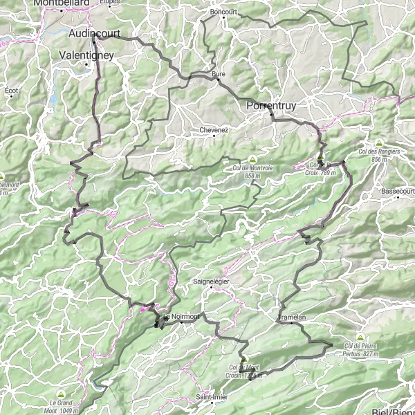
Embark on the ultimate cycling challenge with this demanding road cycling route.
This round-trip road cycling route near Audincourt is not for the faint of heart. With a grueling ascent of 3924 meters and a distance of 157 kilometers, this route offers the ultimate challenge for experienced cyclists. Highlights along the route include Vandoncourt, La Roche, Courgenay, Foto-Spot Saint-Ursanne, Saint-Brais, Lajoux JU, Courtelary, Petit Crêt, Les Breuleux, Col de la Vierge, Damprichard, Montandon, Le Fondereau, Chamesol, Blamont, and Château Benjamin Peugeot, each providing the perfect balance of natural beauty, historical significance, and exhilarating climbs. The difficulty level of this route is high, making it suitable for experienced cyclists looking for a truly epic adventure. Explore the heart of Franche-Comté and push your limits with this unforgettable cycling challenge.
Immerse yourself in the natural beauty while cycling to L'Isle-sur-le-Doubs.
This gravel route offers a scenic and diverse cycling experience. Covering a distance of 76 kilometers with an ascent of 1095 meters, it provides a moderate challenge for cyclists looking to explore the Franche-Comté region. Enjoy the peaceful countryside, passing through charming villages and picturesque landscapes. Discover hidden gems and immerse yourself in the local culture.
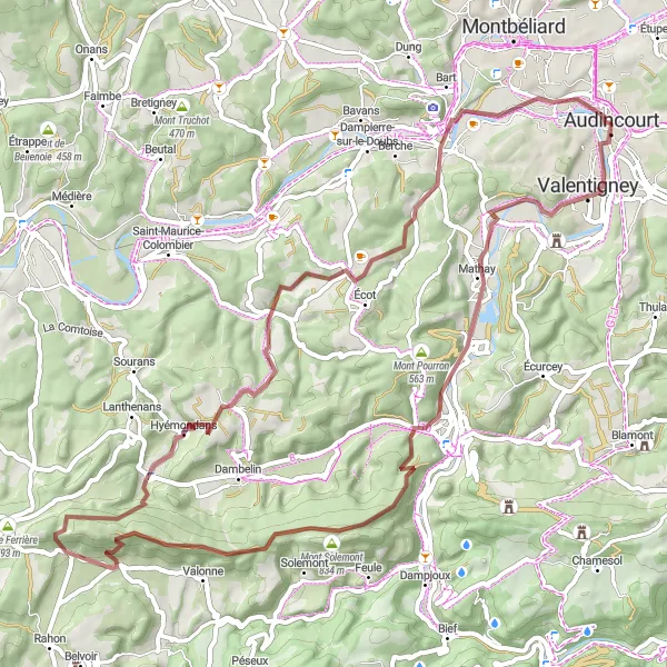
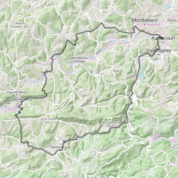
Gravel route exploring the scenic Doubs valley
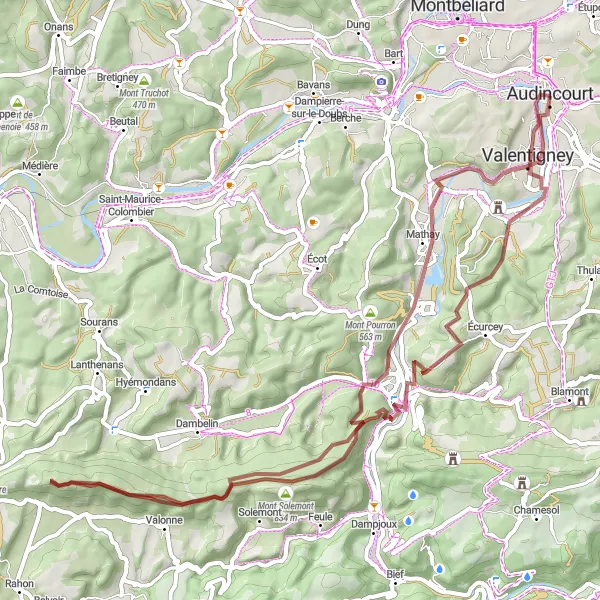
Immerse yourself in the natural beauty of the Doubs valley with this challenging gravel route. Covering a distance of 66 km and featuring an ascent of 1227 m, this route will take you through charming towns and offer breathtaking views of the valley. Discover Valentigney, Pont-de-Roide-Vermondans, Mont Solemont, Col de Pas de Bœuf, Hyémondans, Villars-sous-Écot, and more as you pedal through the heart of Franche-Comté.
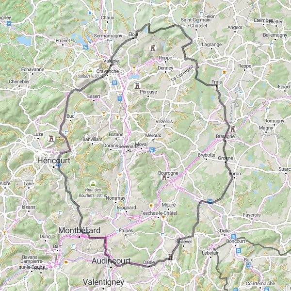
Road route through mountains and valleys
Experience the beauty of the mountains and valleys with this road cycling route that spans 81 km and includes an ascent of 700 m. Explore the diverse landscapes of Franche-Comté as you ride through Sochaux, Châlonvillars, Haut du Mont, Mont Marie, Anjoutey, Montreux-Château, Beaucourt, and La Roche. This route offers a mix of challenging climbs and scenic descents, showcasing the natural splendor of the region.
Cycling routes nearby:
Nearby regions: