Discover scenic cycling routes in Seloncourt, Franche-Comté
Cycling routes from Seloncourt
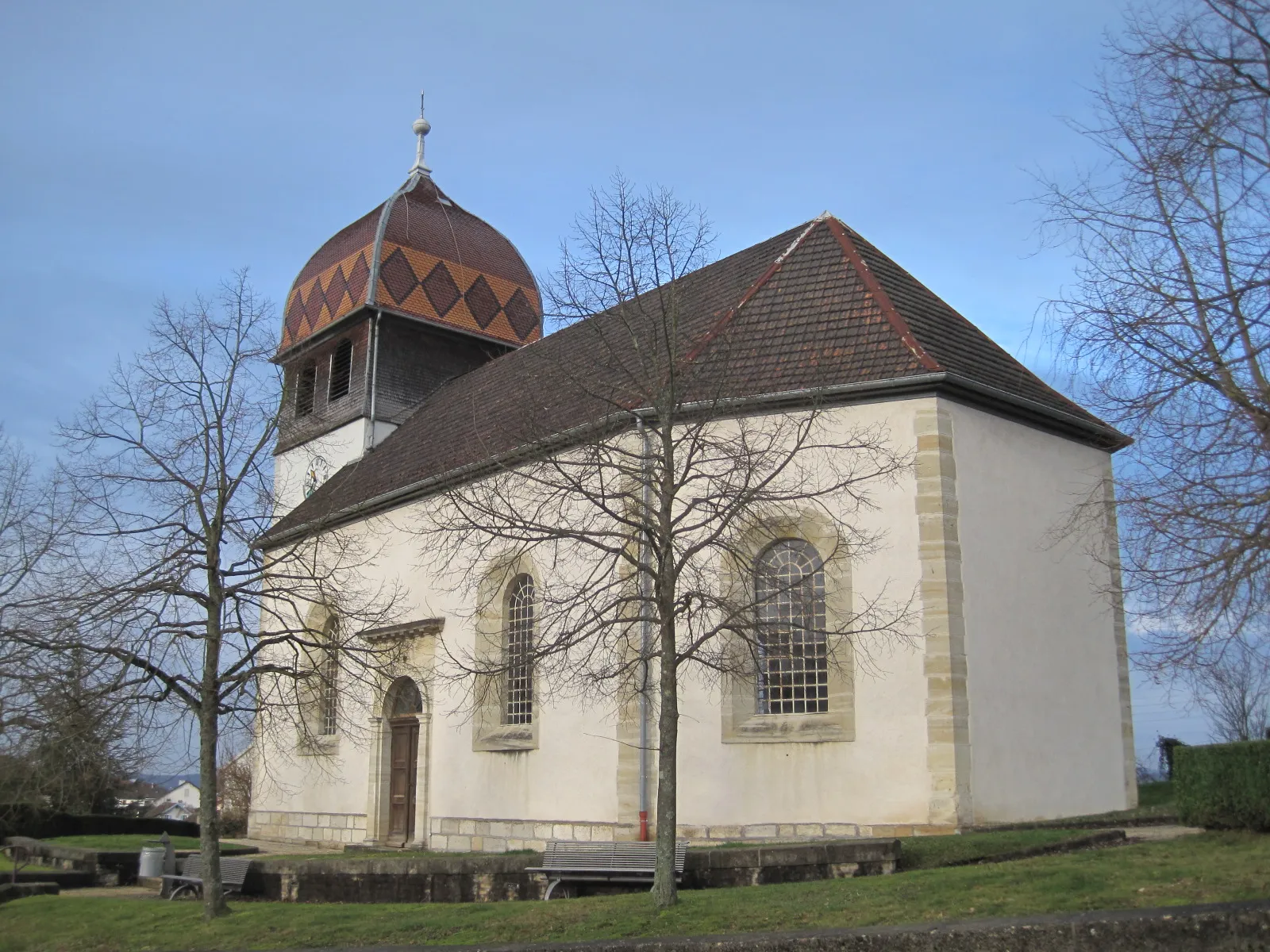
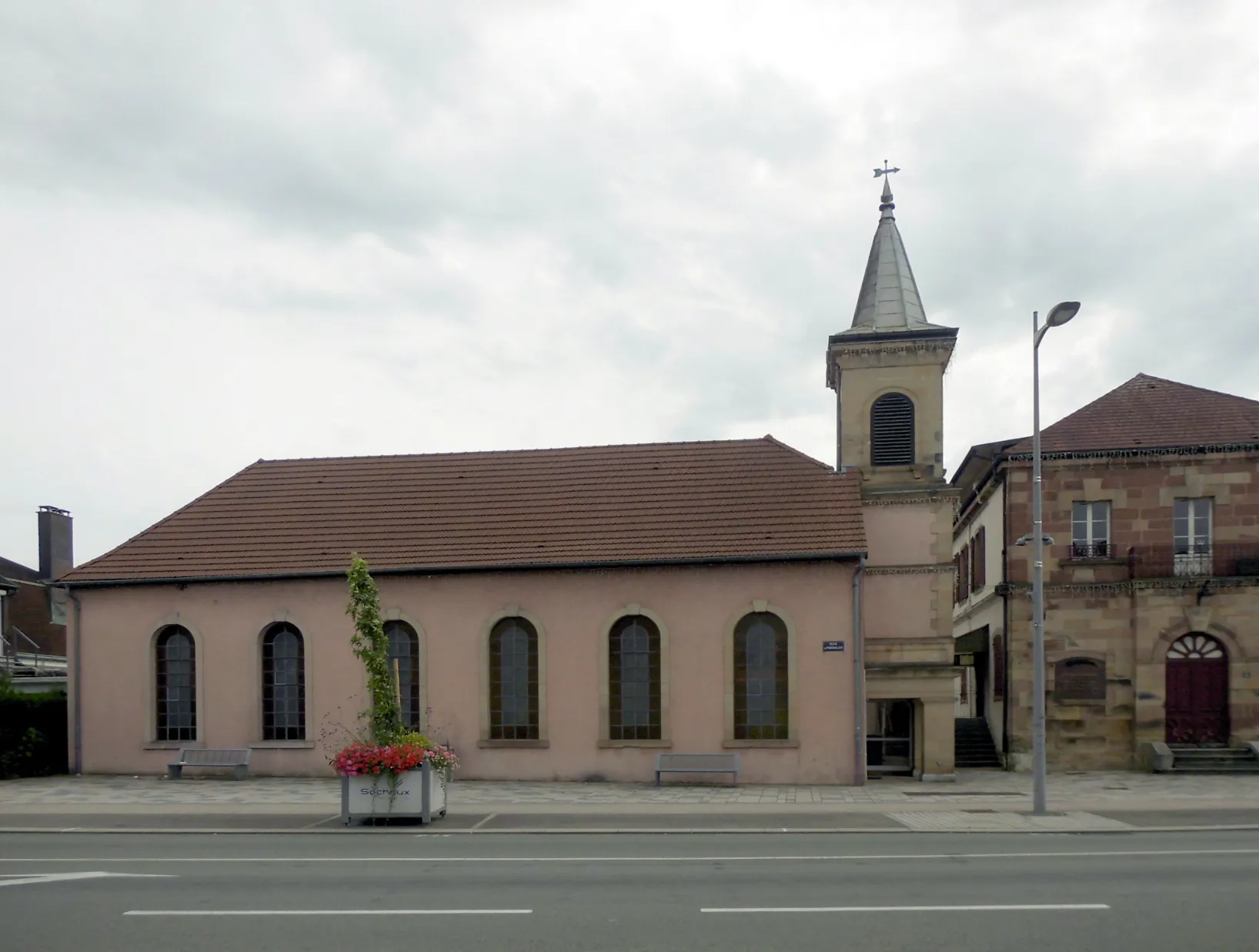
Set among the beautiful landscapes of the Franche-Comté region in France, Seloncourt is a great destination for road and gravel cycling. Cyclists can enjoy the rolling hills and picturesque countryside while exploring the region's quiet roads. The nearby Ballon d'Alsace is a well-known climb, attracting cyclists from all over. With its diverse terrain and cycling-friendly atmosphere, Seloncourt receives a rank of 4 as a top choice for cyclists.
Seloncourt-Delle Loop
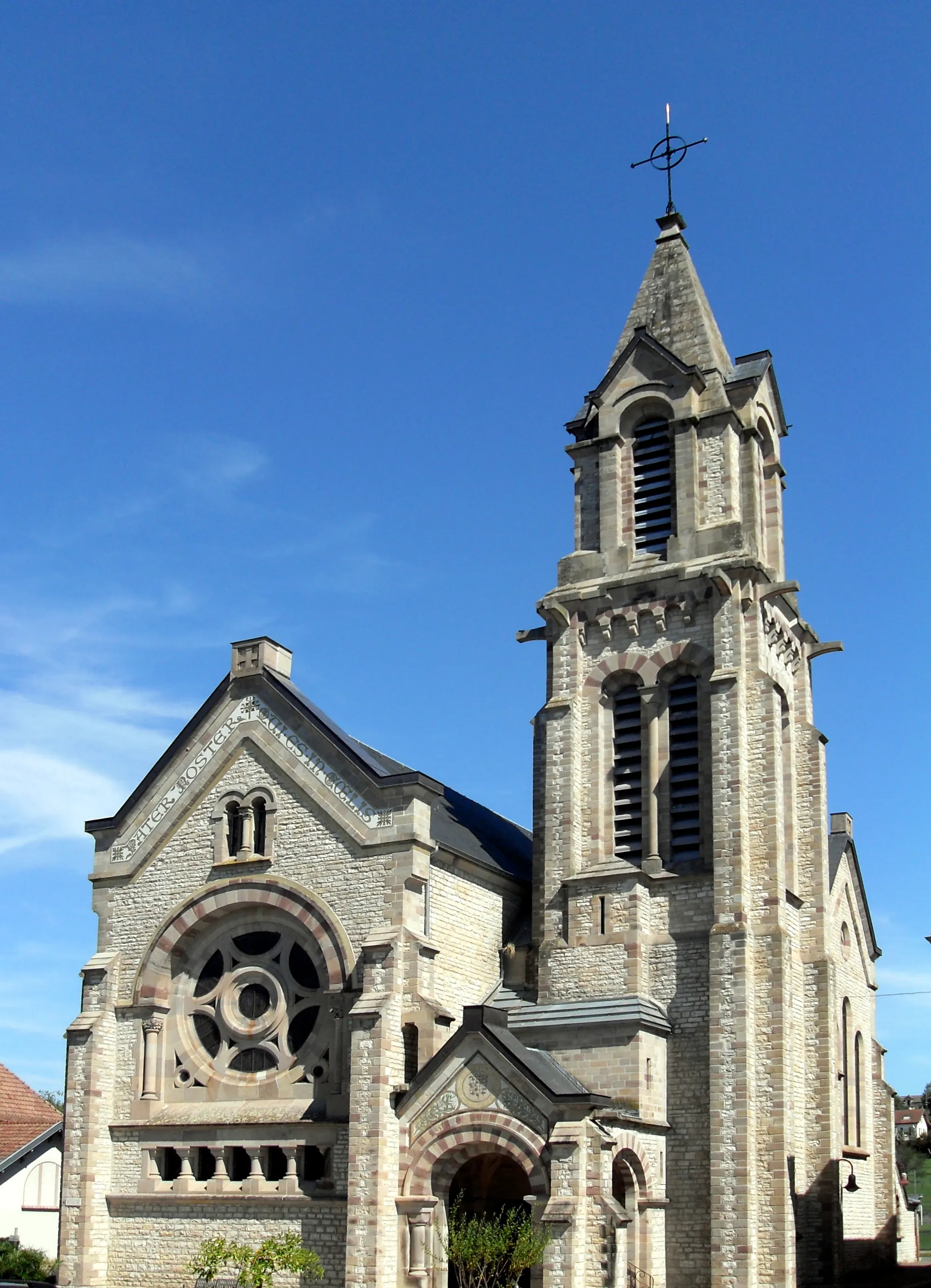
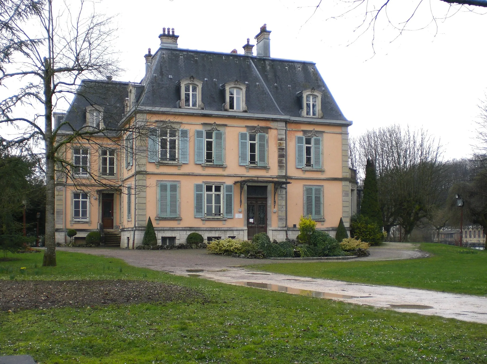
Discover the picturesque town of Delle on this road biking route
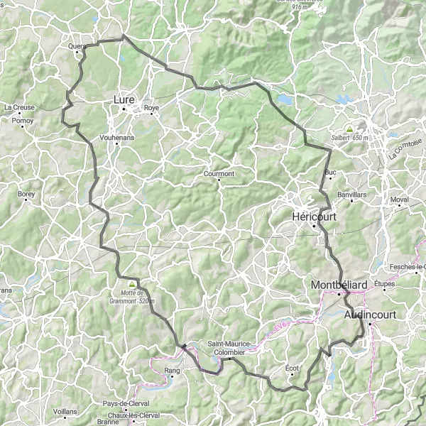
This road biking route takes you through the charming town of Delle and offers scenic views of the surrounding countryside. With a moderate difficulty level, it is suitable for well-trained amateur cyclists looking for a enjoyable ride. The route covers a distance of 63 km with a total ascent of 736 meters.
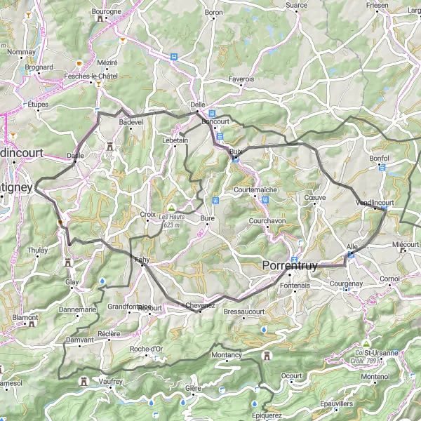
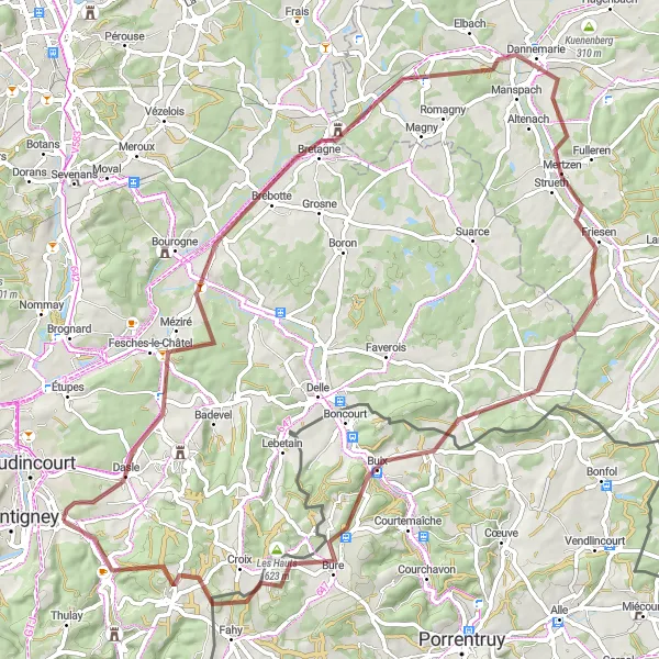
Experience the picturesque beauty of Suarce and Hérimoncourt on this gravel route.
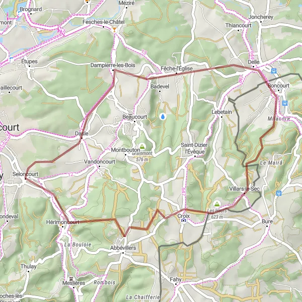
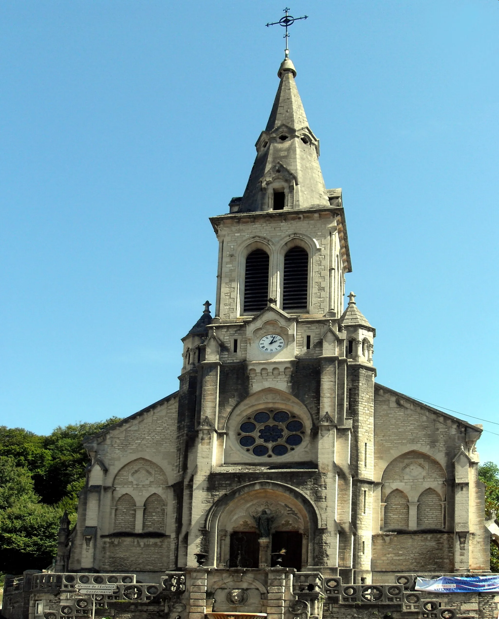
This gravel route takes you through the picturesque towns of Suarce and Hérimoncourt, allowing you to admire the tranquil beauty of the Franche-Comté countryside. With a total ascent of 897m and a distance of 68km, this route is suitable for intermediate level cyclists. Along the way, you'll encounter highlights such as the charming village of Joncherey and the scenic Montignez. Overall, this route offers a delightful mix of natural beauty and cultural attractions, making it a recommended choice for gravel enthusiasts looking to explore the region.
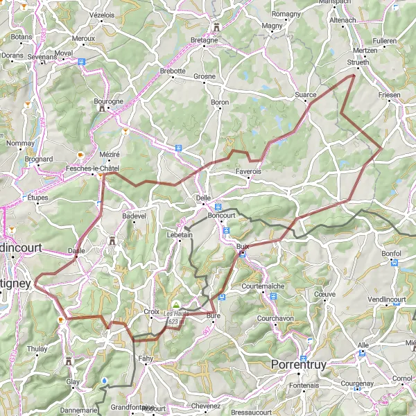
Explore the scenic towns of Abbévillers and Courtedoux on this gravel route.
This gravel route takes you through the charming towns of Abbévillers and Courtedoux, offering scenic views of the surrounding Franche-Comté region. With a total ascent of 1558m and a distance of 78km, it provides a moderate challenge for well-trained amateur cyclists. The route features several highlights, including the picturesque Col de la Croix and Meslières. Overall, this route is recommended for gravel enthusiasts looking to explore the beautiful countryside of Franche-Comté.
Discover the scenic beauty of Belfort Gap and Villars-le-Sec on this gravel route.
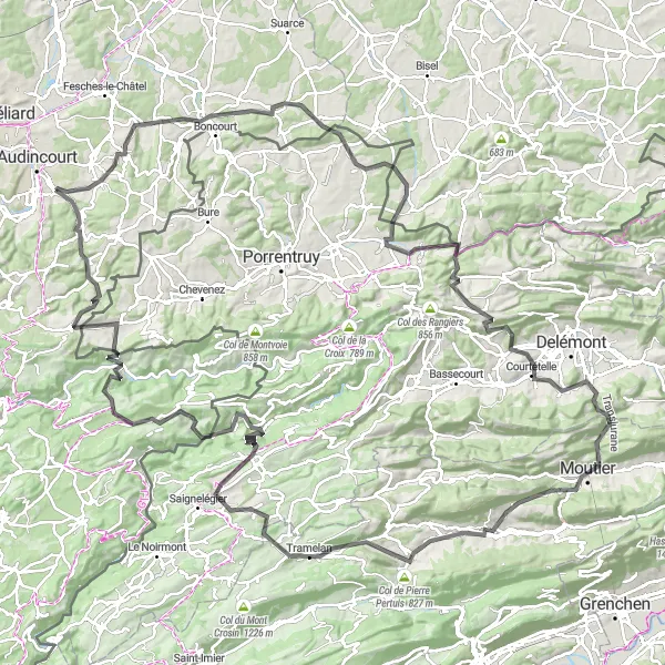
This gravel route takes you through the scenic landscapes of Belfort Gap and Villars-le-Sec, offering breathtaking views and cultural attractions along the way. With a total ascent of 987m and a distance of 78km, this route is recommended for intermediate level cyclists. Along the route, you'll encounter highlights such as the picturesque Hindlingen and the charming village of Villars-le-Sec. Overall, this route provides a perfect blend of natural beauty and cultural experiences, making it a great choice for gravel enthusiasts looking to explore the region.
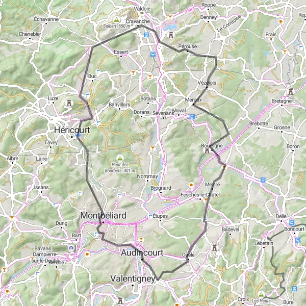
Experience the scenic beauty of Belfort and Montbéliard on this road cycling route.
This road cycling route takes you through the scenic landscapes of Belfort and Montbéliard, offering breathtaking views and cultural attractions along the way. With a total ascent of 502m and a distance of 65km, this route is suitable for cyclists of all levels. Along the route, you'll encounter highlights such as the historic town of Montbéliard and the picturesque village of Dampierre-les-Bois. Overall, this route provides a perfect combination of natural beauty and cultural experiences, making it a great choice for a scenic road cycling adventure.
Embark on an epic road biking journey through the scenic landscapes of Franche-Comté
This challenging road biking route takes you through breathtaking landscapes of Franche-Comté, with steep climbs and thrilling descents. With a high difficulty level, it is recommended for experienced cyclists seeking an adrenaline-pumping adventure. The route covers a distance of 96 km with a total ascent of 1579 meters.
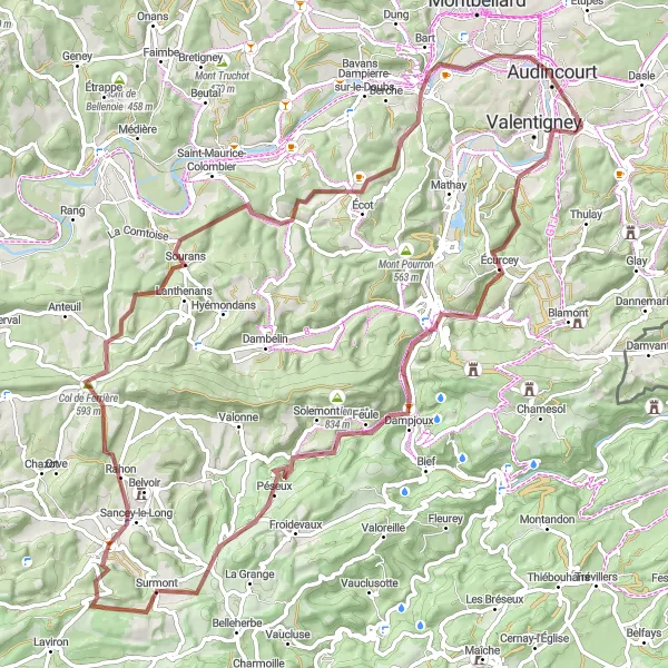
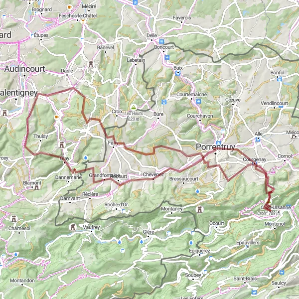
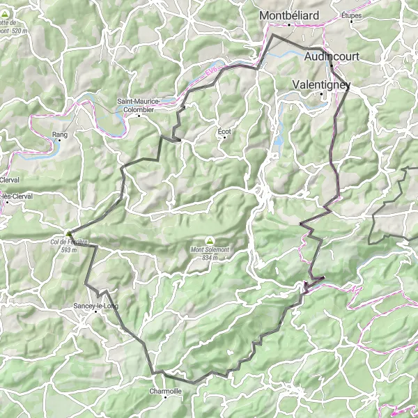
Experience the thrill of gravel cycling on this adventurous route near Pont-de-Roide-Vermondans
Escape the beaten path and immerse yourself in the natural beauty of Franche-Comté on this gravel cycling route. With a moderate difficulty level, it is suited for cyclists with some off-road experience. The route covers a distance of 89 km with a total ascent of 1435 meters.
Embark on an epic road cycling adventure through Franchevelle and Ronchamp.
This road cycling route will take you on an epic adventure through the stunning landscapes of Franchevelle and Ronchamp. With a challenging ascent of 1400m and a distance of 135km, this route is suitable for experienced amateur cyclists. Along the way, you'll encounter breathtaking highlights such as the famous Colline de Bourlémont and the renowned Ronchamp chapel. Overall, this route offers a perfect blend of thrilling climbs and mesmerizing scenic views, making it a must-try for road cycling enthusiasts.
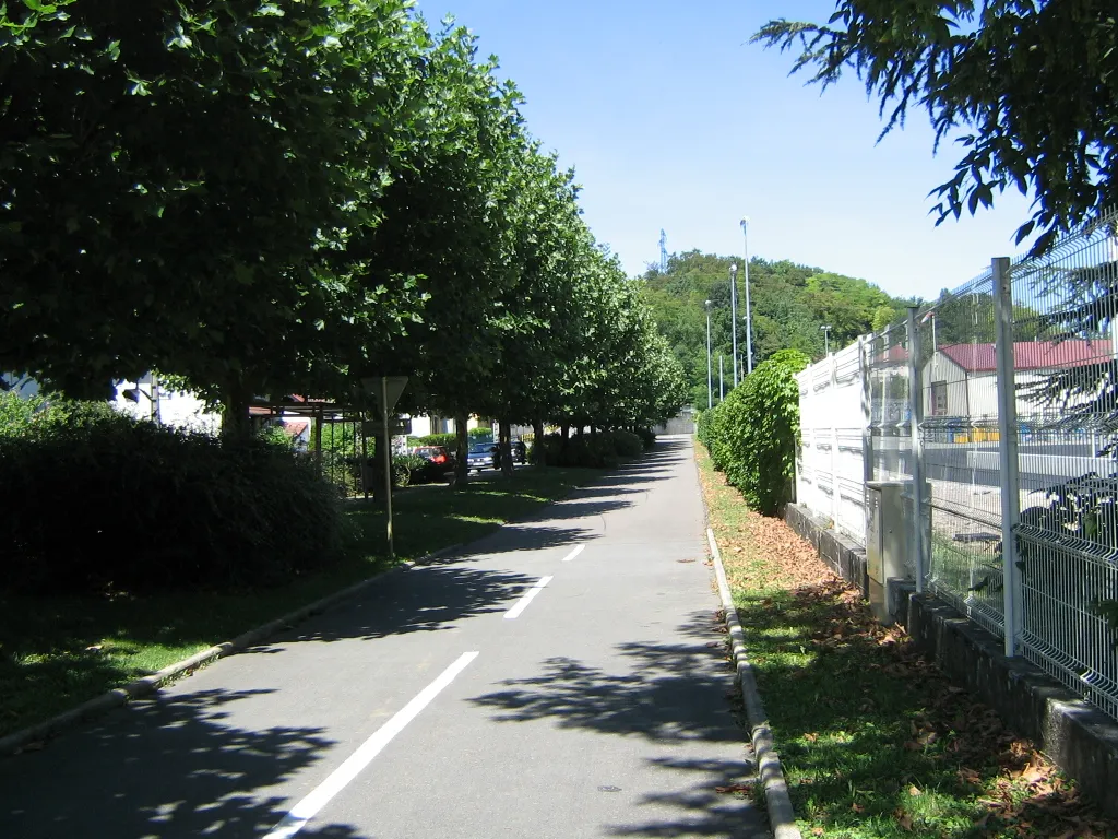
Embark on a scenic gravel cycling adventure from Badevel to Les Hauts
This gravel cycling route offers stunning views of Franche-Comté's natural landscapes, with rolling hills and quiet country roads. It is suitable for cyclists of all levels, with a moderate difficulty level. The route covers a distance of 35 km with a total ascent of 620 meters.
High Mountains Challenge
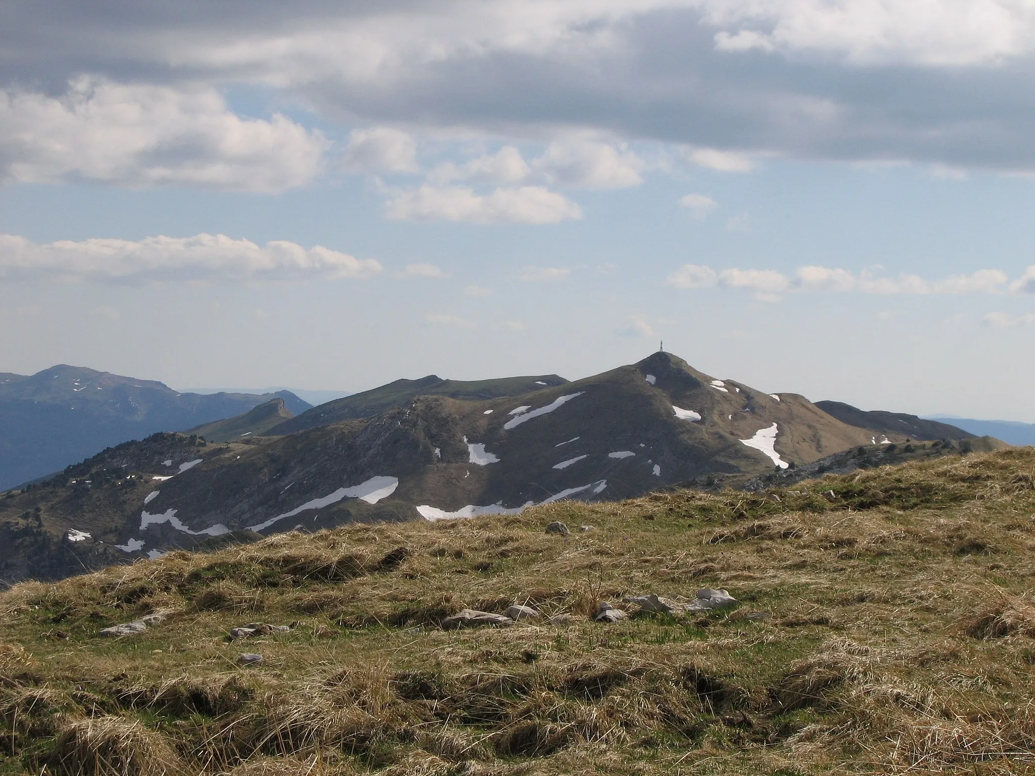
Embark on the ultimate cycling challenge through the high mountains of Franche-Comté
This epic road biking route takes you through the heart of Franche-Comté's high mountains, offering breathtaking views and grueling ascents. With a high difficulty level, it is only suitable for experienced and well-trained cyclists. The route covers a distance of 163 km with a total ascent of 3093 meters.
Cycling routes nearby:

Nearby regions: