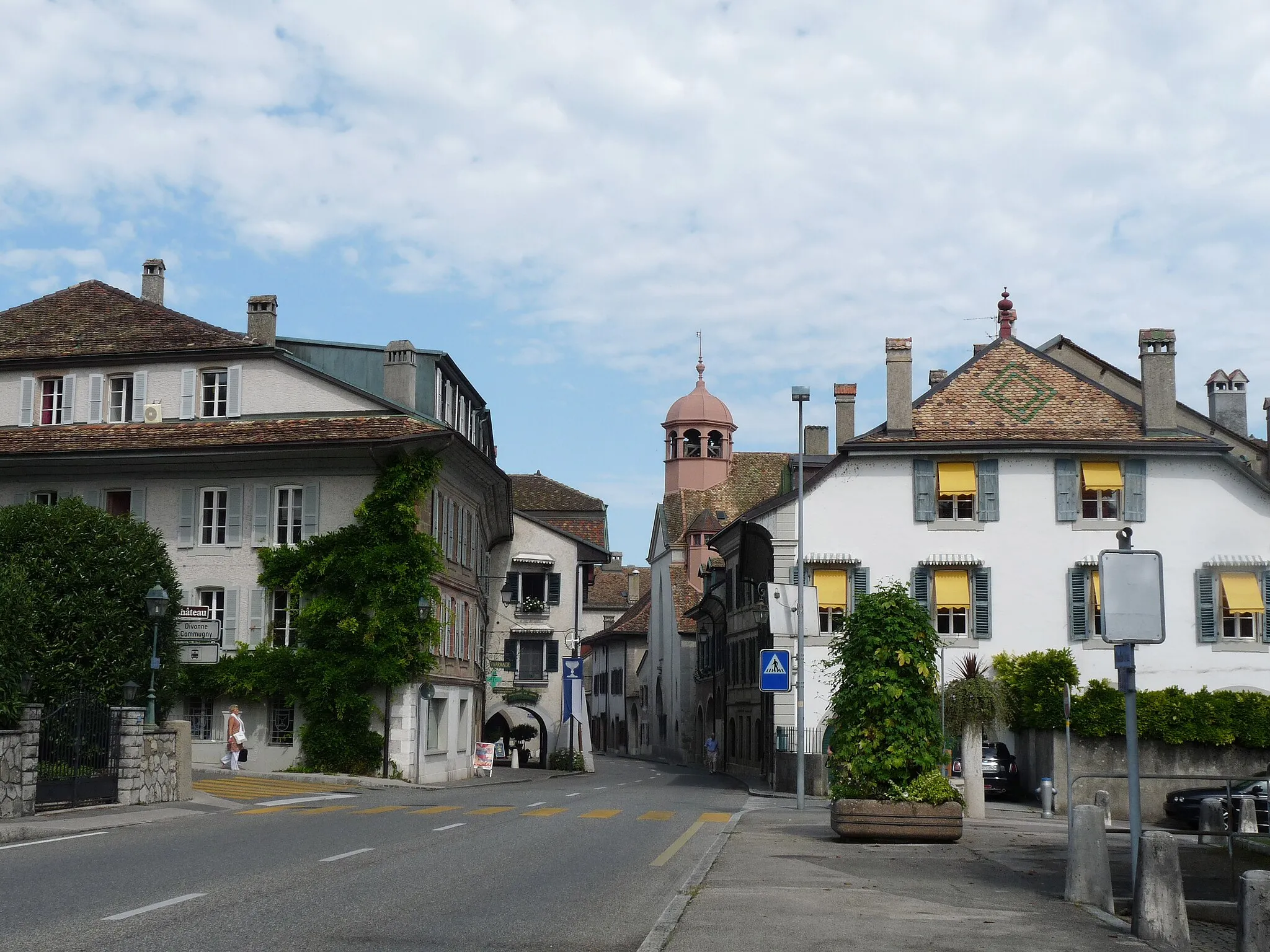
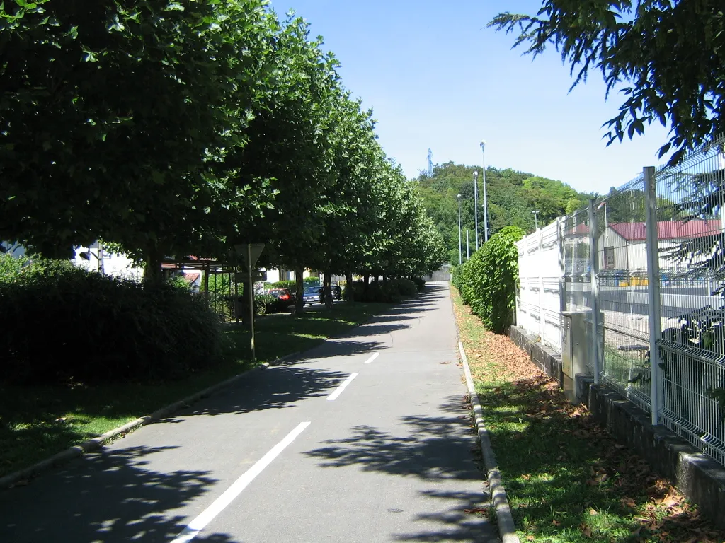
Enjoy the peaceful countryside of Hérimoncourt on your bike
Cycling routes from Herimoncourt
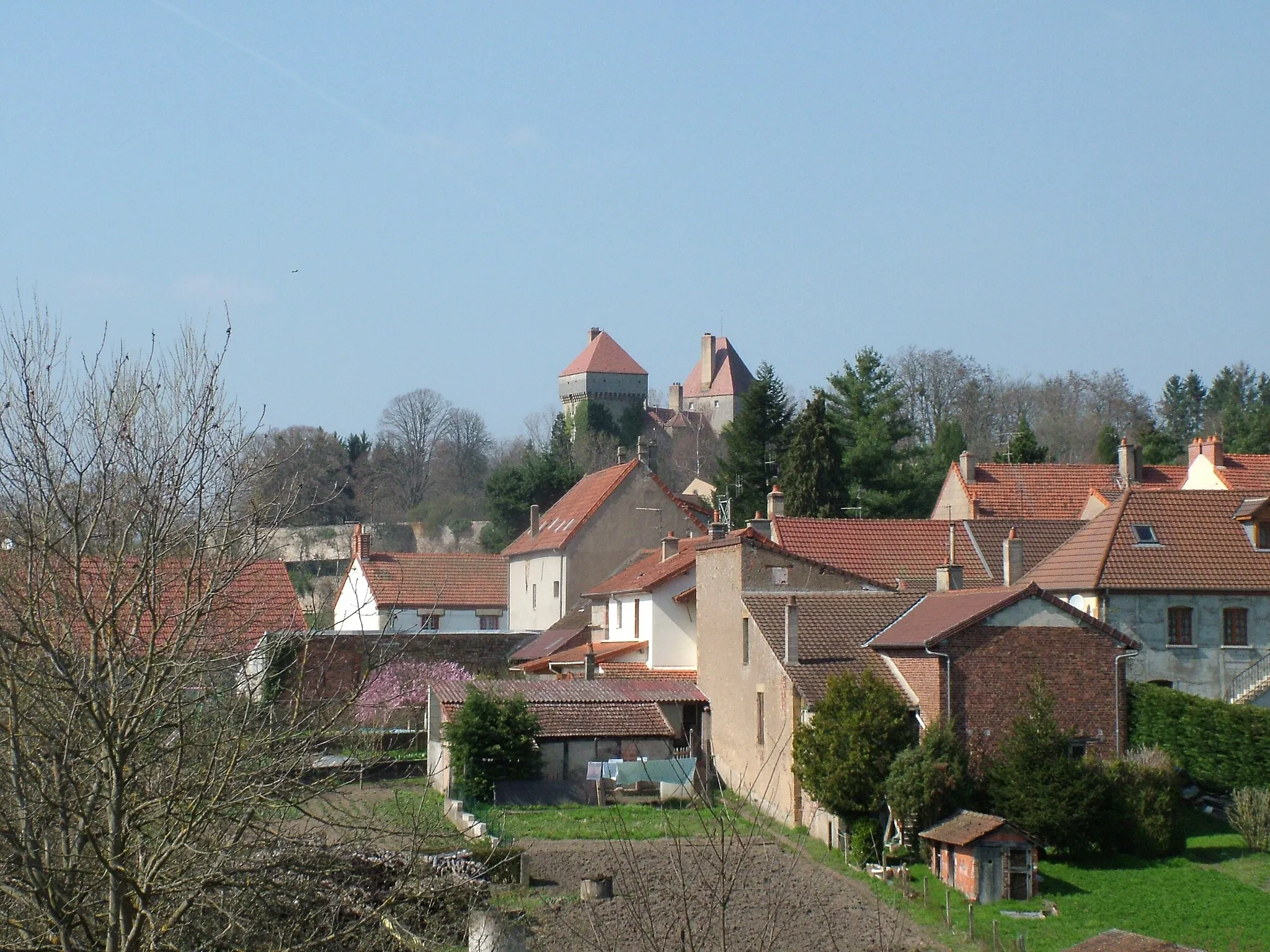
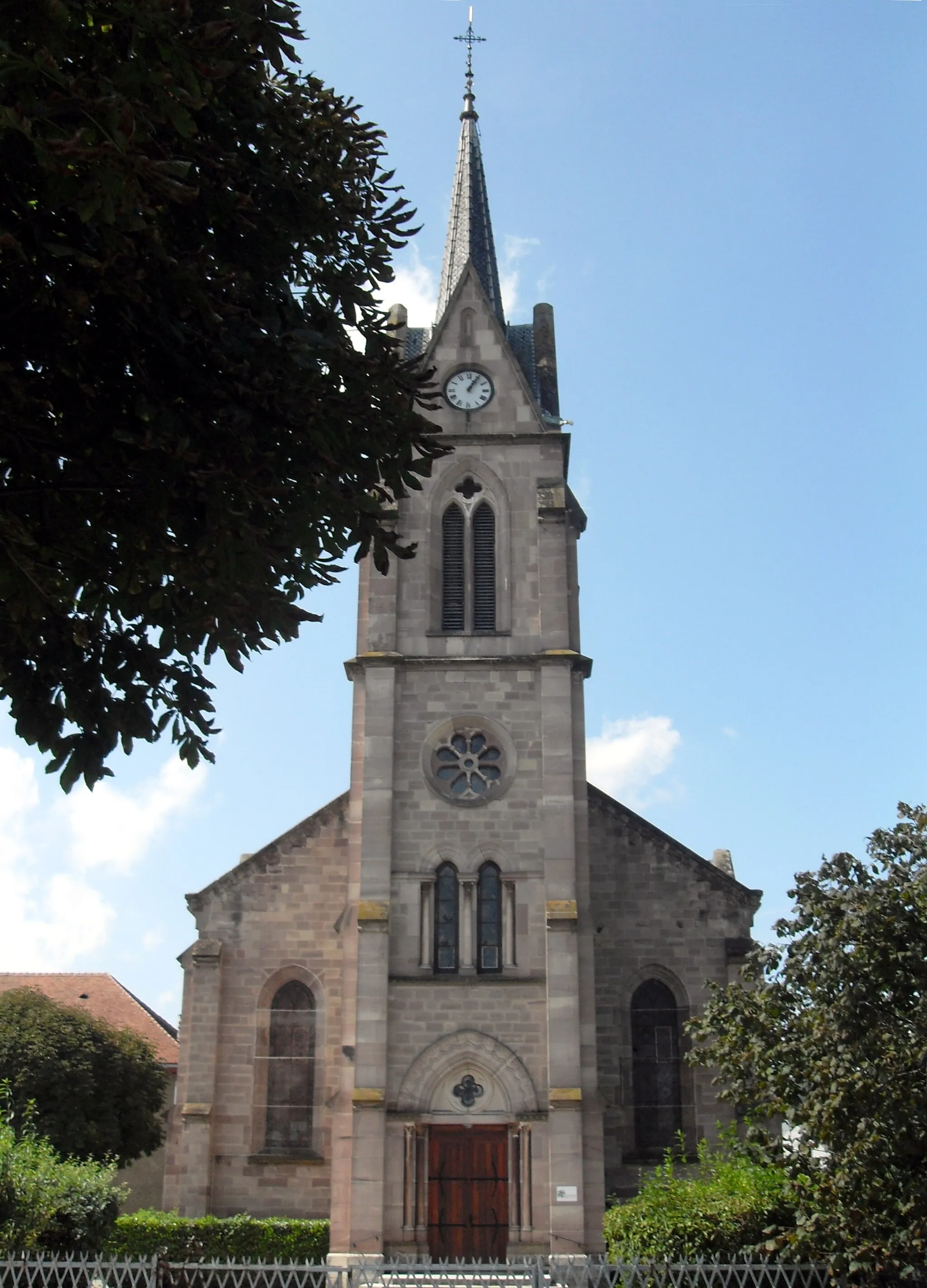
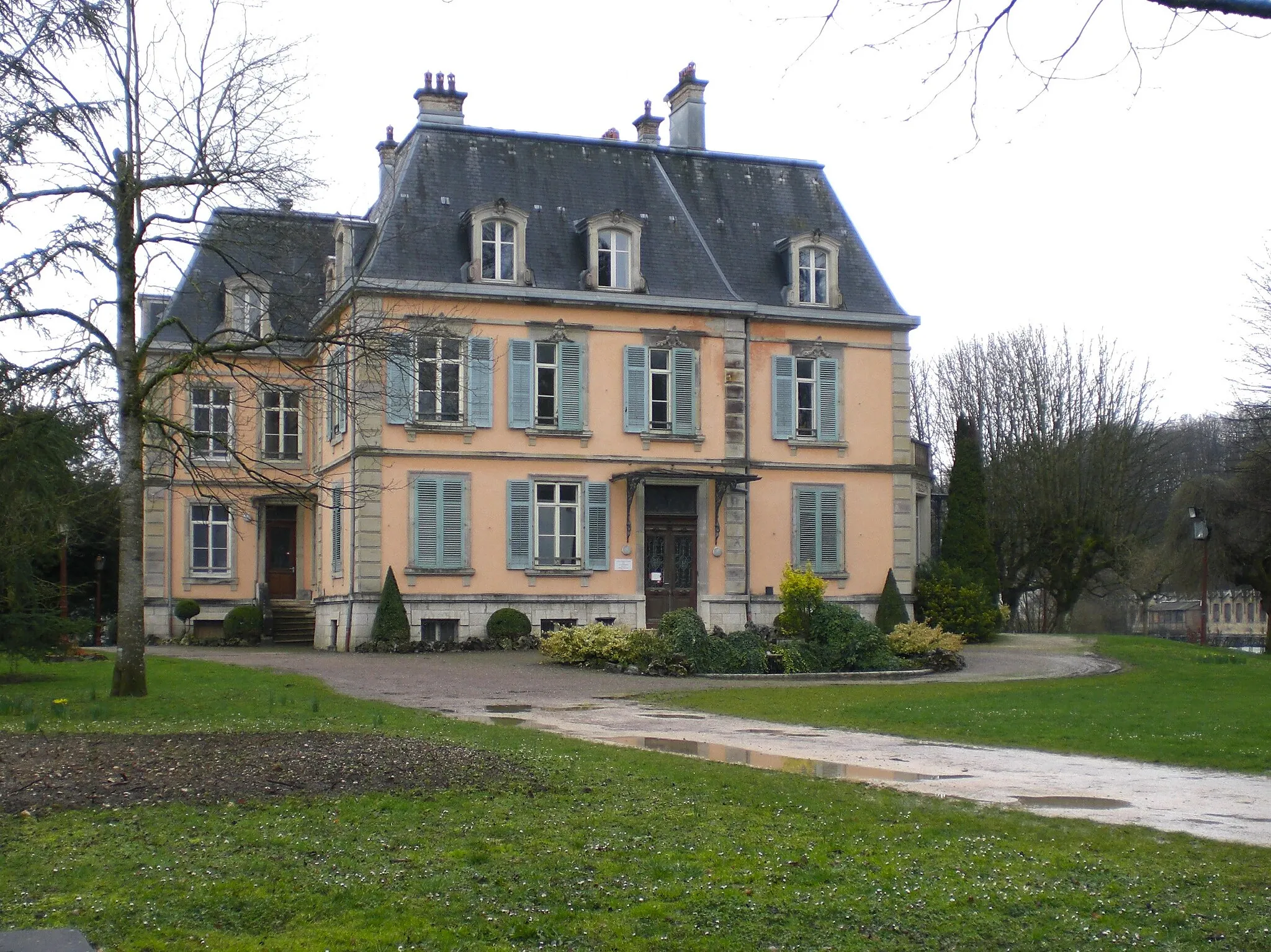
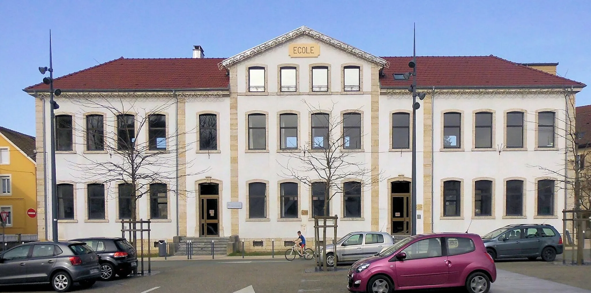
Hérimoncourt is a town situated in the Franche-Comté region of France. For road and gravel cyclists, Hérimoncourt offers scenic routes that meander through the picturesque countryside. While not known for any famous cycling spots, the rolling hills and quiet roads allow cyclists to enjoy the tranquility of the area. Overall, Hérimoncourt is a suitable choice for road and gravel cyclists looking for a peaceful and enjoyable cycling experience, earning a rank of 3.
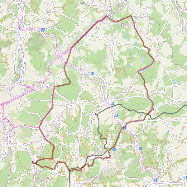
Explore the stunning Pont Sarrazin on this gravel route
This gravel cycling route takes you from Hérimoncourt to Pont Sarrazin, offering breathtaking views along the way. With a total distance of 68 km and an ascent of 952 meters, this route is perfect for cyclists who love challenging terrains. The route passes through Morvillars, Chavannes-les-Grands, Montignez, Les Hauts, and Abbévillers. Throughout the journey, you'll encounter natural highlights such as mountains, rivers, and picturesque landscapes. Get ready for an epic cycling adventure filled with excitement and scenic beauty.
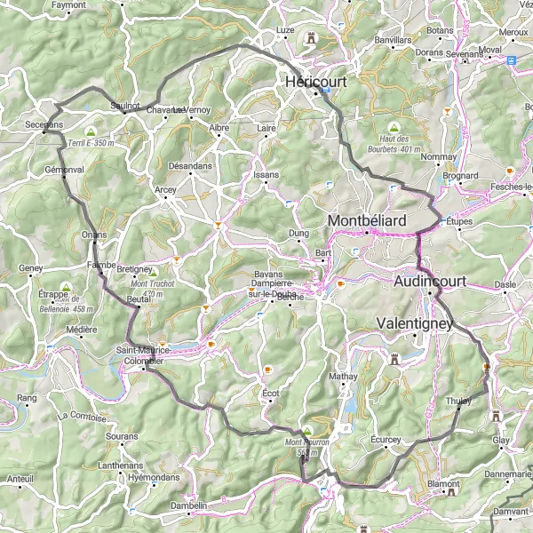
Embark on a scenic road journey to Thulay
Discover the beauty of the region on this scenic road cycling route from Hérimoncourt to Thulay. Covering a distance of 87 km with an ascent of 1012 meters, this route offers stunning views along the way. The route passes through Thulay, Mont Pourron, Villars-sous-Écot, Crevans-et-la-Chapelle-lès-Granges, Saulnot, Vieux-Charmont, and Seloncourt. As you pedal through these towns, you'll encounter picturesque landscapes, charming villages, and serene countryside. Immerse yourself in the natural beauty of the region and enjoy a peaceful cycling experience. Get ready for a breathtaking journey filled with scenic delights.
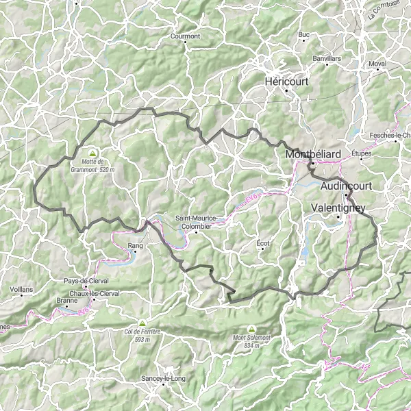
Embark on a stunning road journey to the scenic town of Thulay
Take in the beauty of the region on this road cycling route from Hérimoncourt to Thulay. Covering a distance of 105 km with an ascent of 1358 meters, this route is perfect for enthusiasts who enjoy picturesque drives. As you cycle through Thulay, Goux-lès-Dambelin, Mancenans, Les Roches de Nans, Georfans, Terril D, Issans, and Seloncourt, you'll be greeted by breathtaking landscapes, charming villages, and peaceful countryside. Immerse yourself in the tranquility of the surrounding nature and experience the cultural richness of these towns. Get ready for a scenic adventure that will leave lasting memories.
Seloncourt and Beyond
Discover the hidden gems of Seloncourt and beyond
This gravel route takes you on a journey to the lesser-known villages of Seloncourt and Belfort. With a total distance of 99 kilometers and an elevation gain of 903 meters, this route offers a moderate challenge for experienced gravel riders. Immerse yourself in the rich history and culture of the region as you explore the charming villages of Petitefontaine, Reppe, and Villars-le-Sec. Take in the breathtaking views from Mont de Romagny and Mont-Juste, and be rewarded with stunning panoramic vistas at Les Hauts.
Discover the best of Franche-Comté on this epic cycling adventure
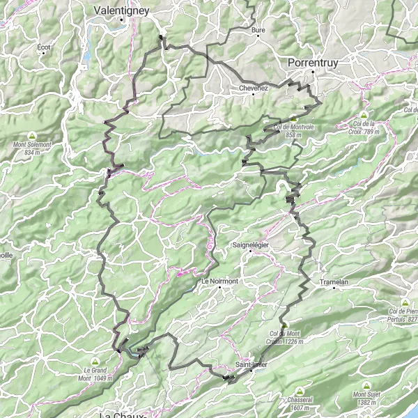
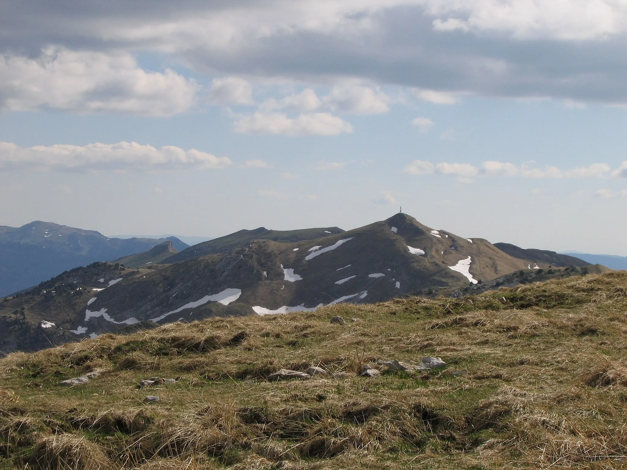
Embark on a thrilling cycling journey through the beautiful region of Franche-Comté. This circuit takes you through picturesque roads and challenging terrains, offering an unforgettable experience for cycling enthusiasts. With a total distance of 158 km and an elevation gain of 3897 meters, this route guarantees an exciting challenge for even the most well-trained amateurs. Explore charming villages, conquer legendary climbs, and soak in the stunning natural beauty that Franche-Comté has to offer.

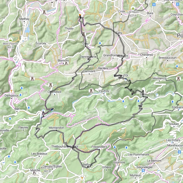
Conquer the epic gravel challenge to Meslières
Prepare for a thrilling adventure on this epic gravel route to Meslières. Covering a distance of 83 kilometers and featuring an elevation gain of 2218 meters, this challenging route will put your skills to the test. Cycle through the scenic countryside, tackle challenging climbs such as Col de Montvoie, and be rewarded with breathtaking views from Ocourt and Epiquerez. Experience the thrill of conquering the legendary climbs of Fahy and Damvant, and soak in the picturesque beauty of Meslières.
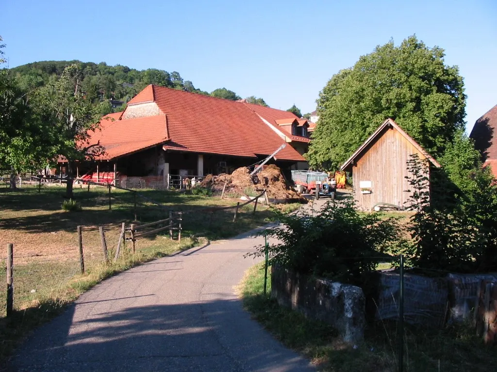
From Hérimoncourt to Abbévillers
Explore the picturesque route from Hérimoncourt to Abbévillers
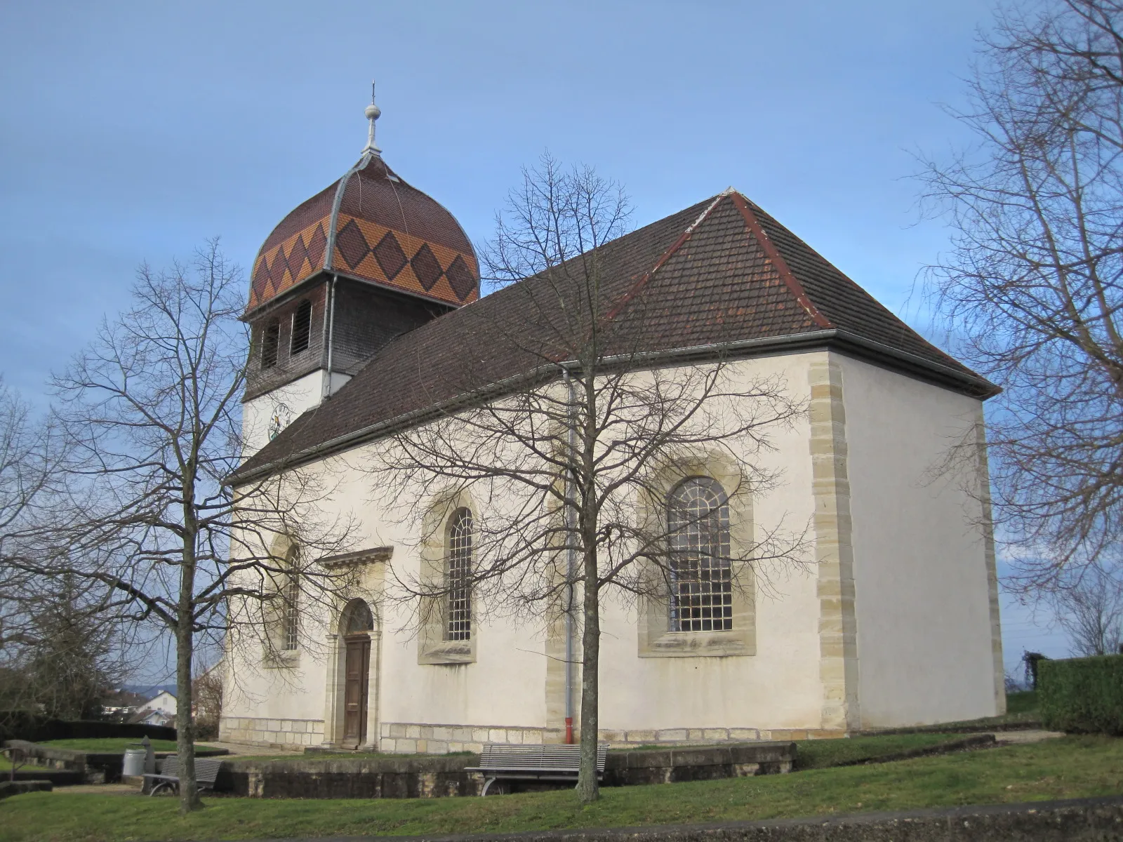
This scenic route takes you through the quaint countryside of Franche-Comté, offering stunning views and charming villages along the way. With a total distance of 89 kilometers and an elevation gain of 1986 meters, this route is suitable for well-trained amateur cyclists. The road surface is predominantly smooth, making it ideal for road bikes. The highlight of this route is the picturesque village of Abbévillers, known for its charming architecture and rich history.
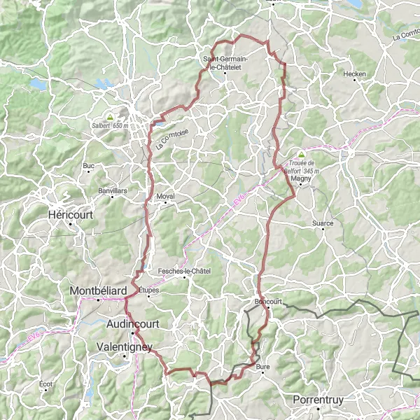
Gravel Adventure to Joncherey
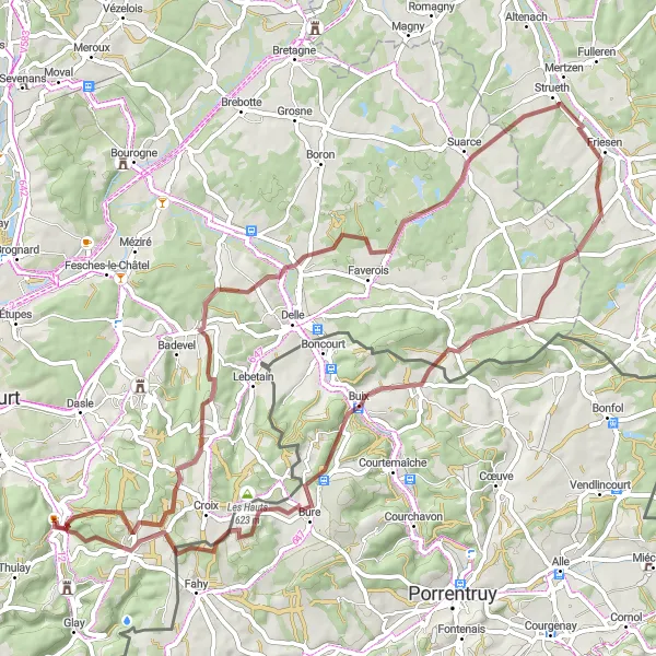
Embark on a thrilling gravel adventure to Joncherey
Get off the beaten path and explore the gravel roads of Franche-Comté on this adventurous route to Joncherey. Covering a distance of 68 kilometers and featuring an elevation gain of 1028 meters, this route is perfect for gravel biking enthusiasts. Enjoy the rugged terrain and stunning natural landscapes as you make your way to the charming village of Joncherey, known for its quaint architecture and friendly locals.

Embark on a scenic road cycling journey to La Roche
This road cycling route takes you from Hérimoncourt to La Roche, offering breathtaking views along the way. With a total distance of 87 km and an ascent of 931 meters, this route is perfect for cyclists who love scenic drives. The route passes through Fêche-l'Église, Vellescot, Strueth, Courtavon, Cornol, and Abbévillers. Throughout the journey, you'll encounter landscapes of rolling hills, traditional villages, and charming countryside. Get ready for an epic road trip filled with natural beauty and tranquility.

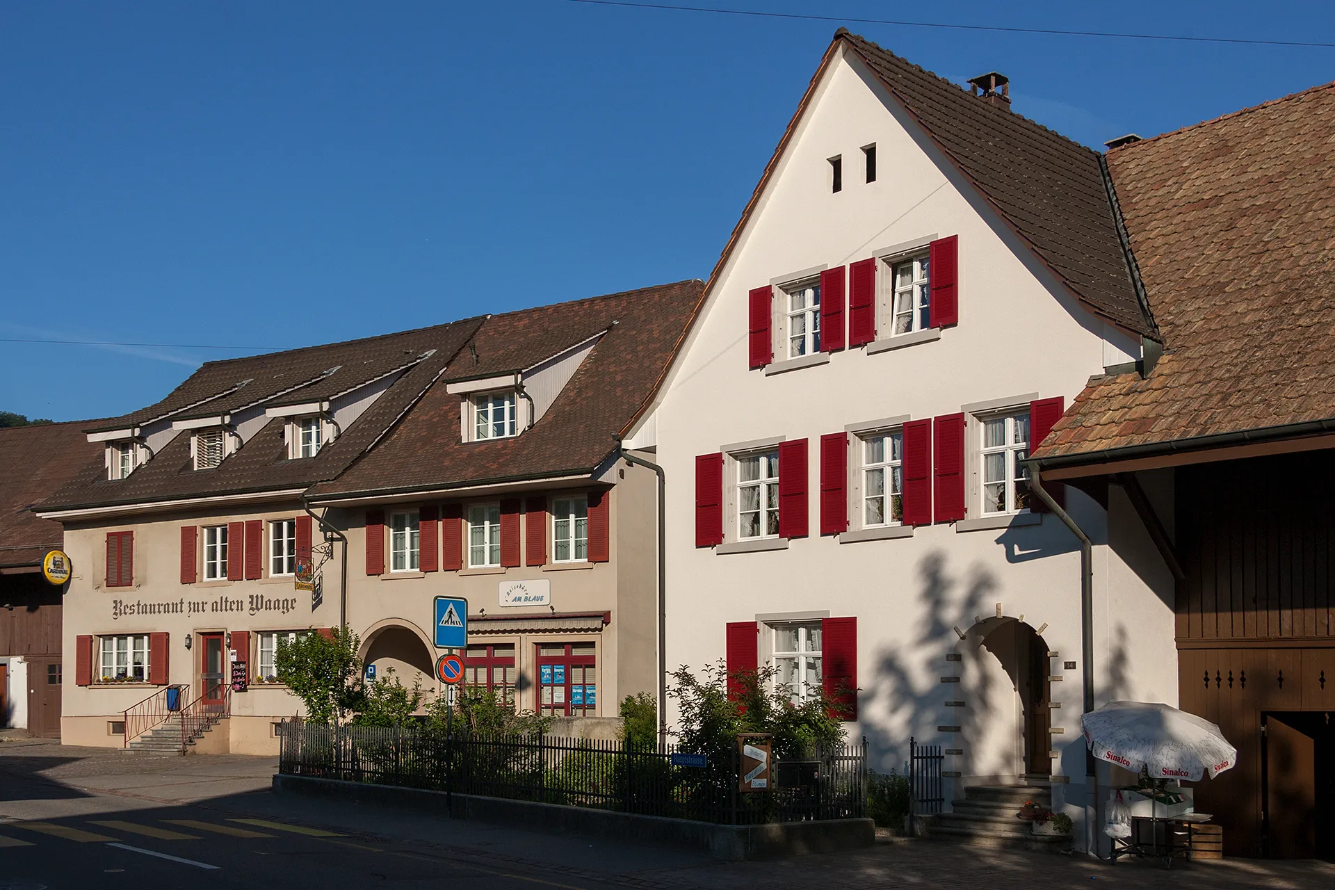
Take a scenic ride to the charming village of Thiancourt
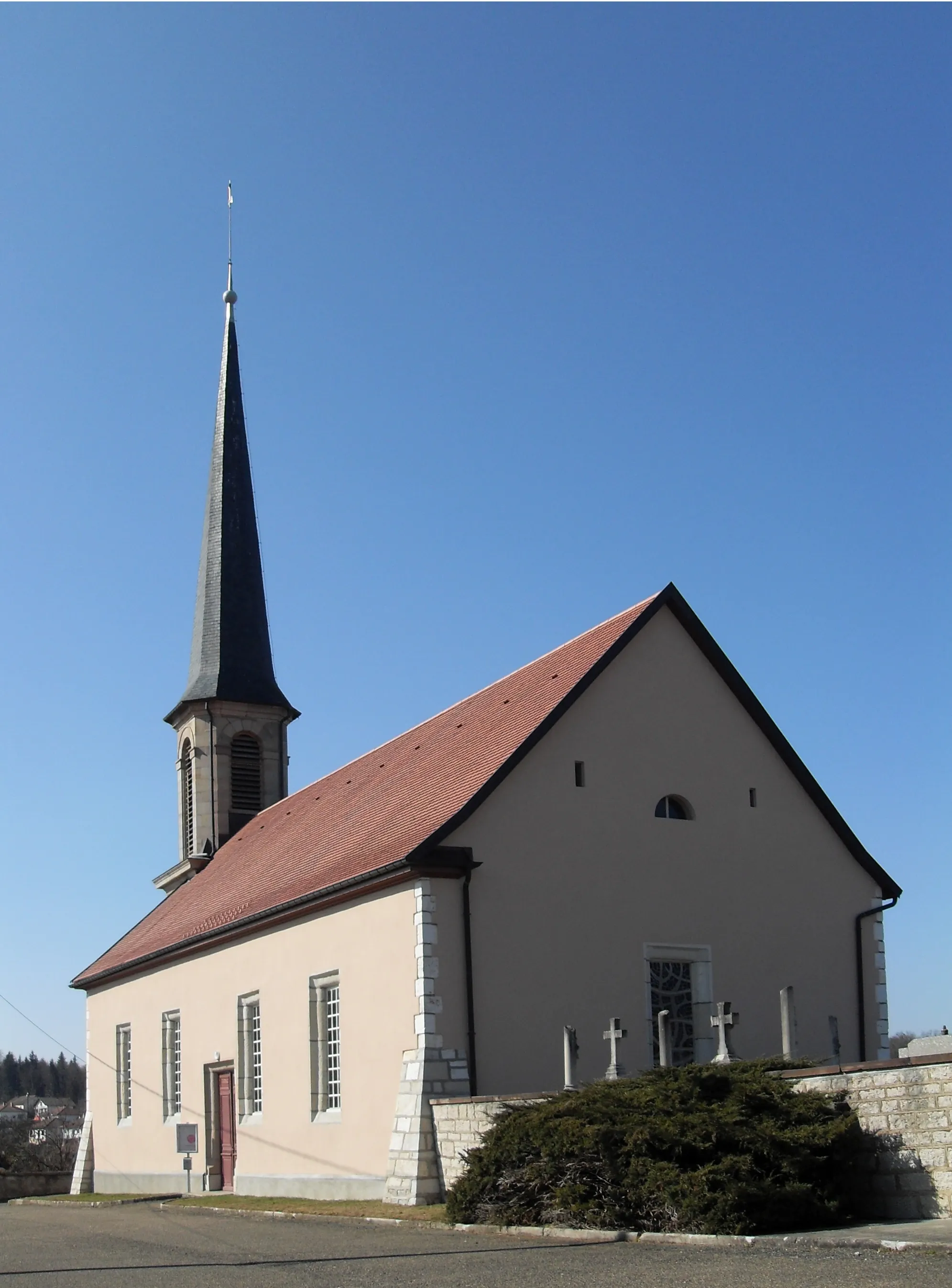
Enjoy a leisurely ride through the scenic countryside on this route to Thiancourt. Covering a distance of 47 kilometers and featuring an elevation gain of 906 meters, this route is suitable for all skill levels. Explore the charming village of Pont Sarrazin, soak in the picturesque views from Mont Renaud, and admire the beauty of Villars-le-Sec. Don't miss a visit to Abbévillers, a small village known for its historic architecture and lively local market.
Cycling routes nearby:

Nearby regions: