Gravel Adventure to Joncherey
A gravel cycling route starting from Herimoncourt
Embark on a thrilling gravel adventure to Joncherey
Map
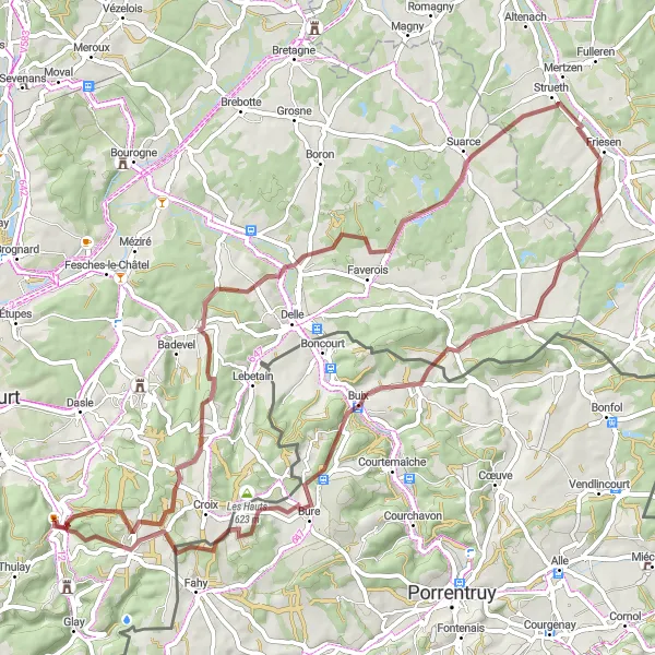
Get off the beaten path and explore the gravel roads of Franche-Comté on this adventurous route to Joncherey. Covering a distance of 68 kilometers and featuring an elevation gain of 1028 meters, this route is perfect for gravel biking enthusiasts. Enjoy the rugged terrain and stunning natural landscapes as you make your way to the charming village of Joncherey, known for its quaint architecture and friendly locals.
gravel
68 km
1028 m
Tough
Route profile
Highlights on the route
0 km
0 km
Start: Hérimoncourt Village centerHérimoncourt: Enjoy the peaceful countryside of Hérimoncourt on your bike
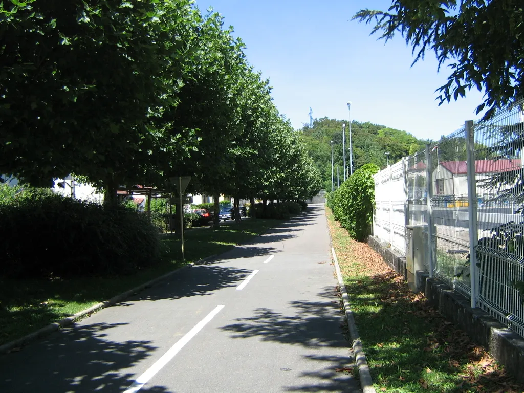
Hérimoncourt is a town situated in the Franche-Comté region of France. For road and gravel cyclists, Hérimoncourt offers scenic routes that meander through the picturesque countryside. While not known for any famous cycling spots, the rolling hills and quiet roads allow cyclists to enjoy the tranquility of the area. Overall, Hérimoncourt is a suitable choice for road and gravel cyclists looking for a peaceful and enjoyable cycling experience, earning a rank of 3.14 km
14 km
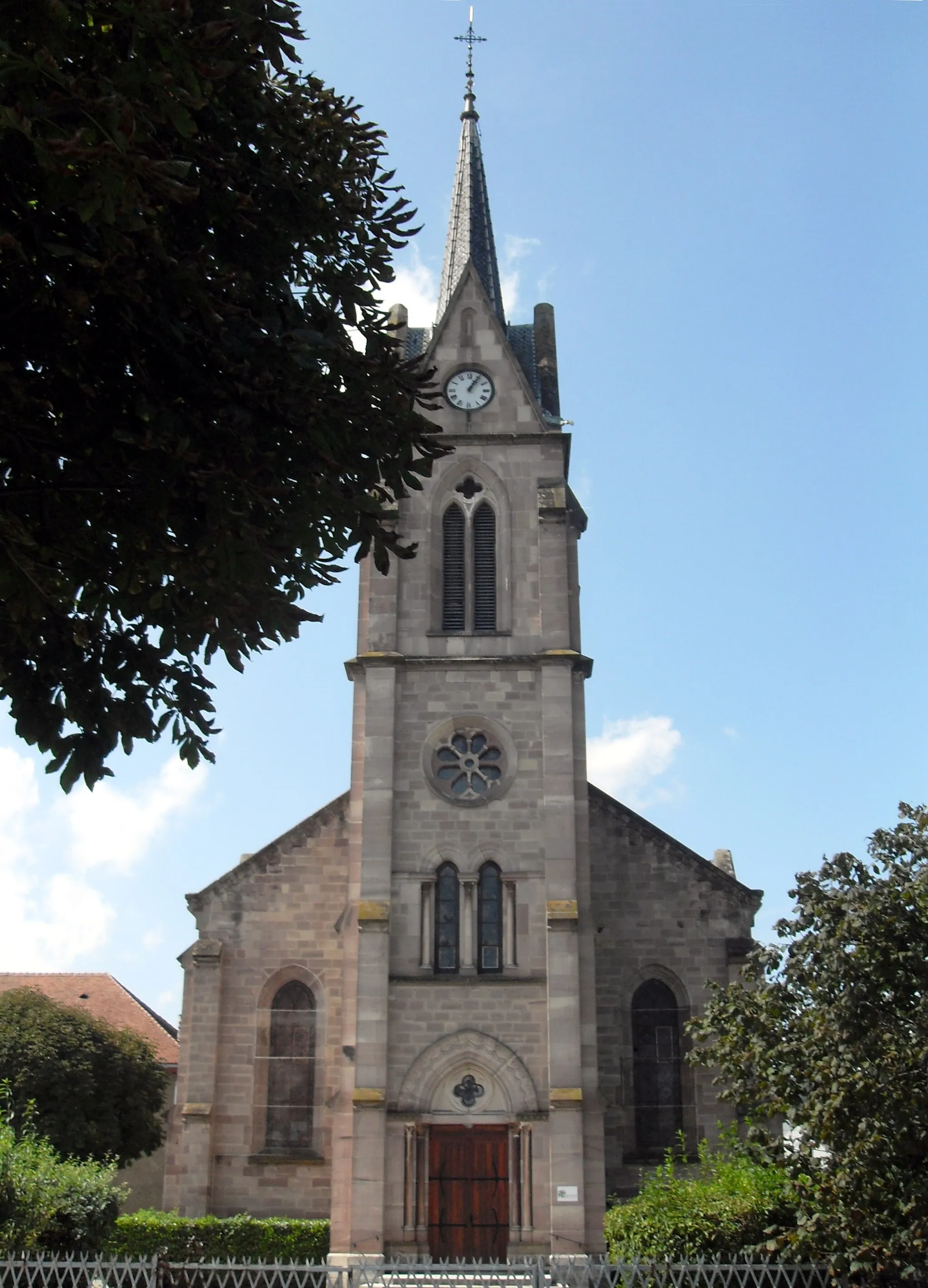
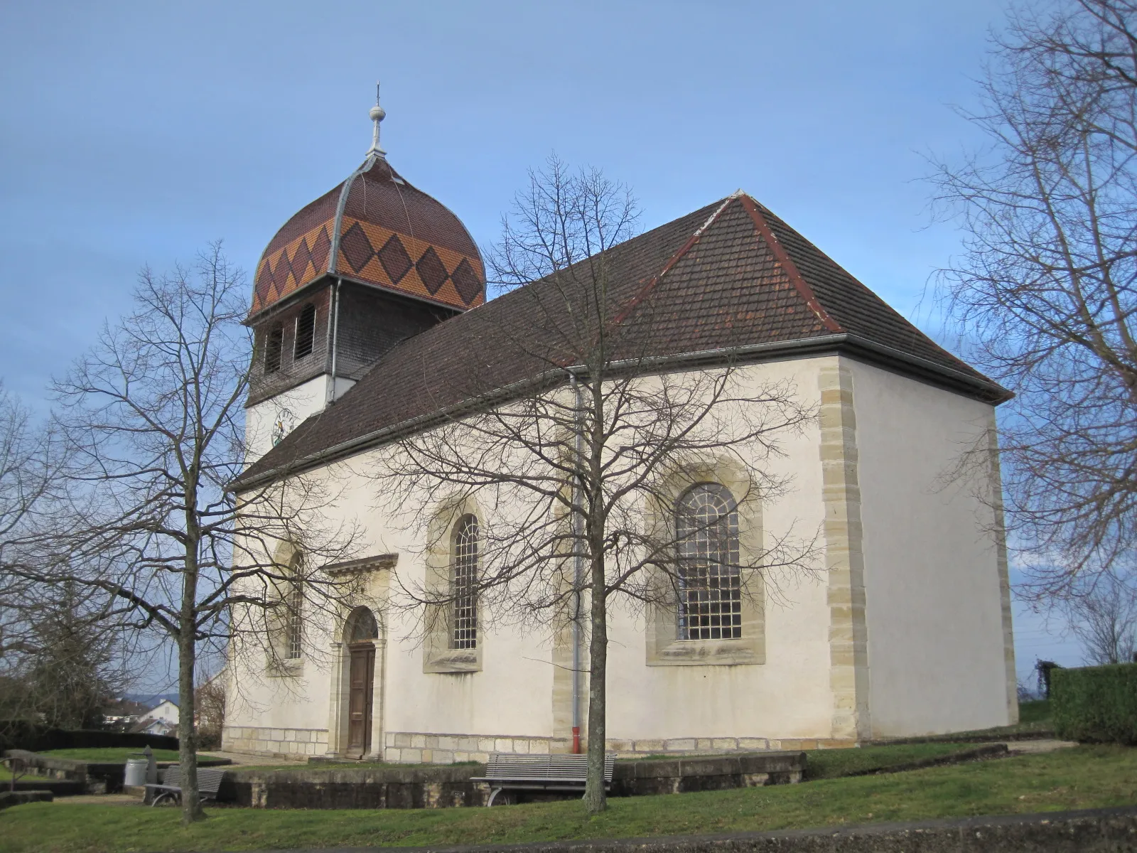
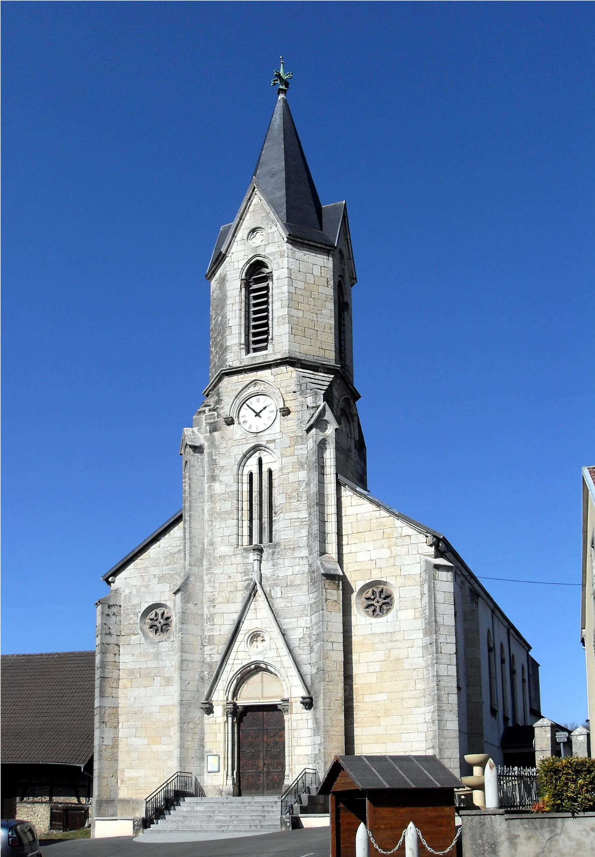
Fêche-l'ÉgliseVillageFêche-l'Église is a small village with a beautiful church and traditional stone buildings.
20 km
20 km
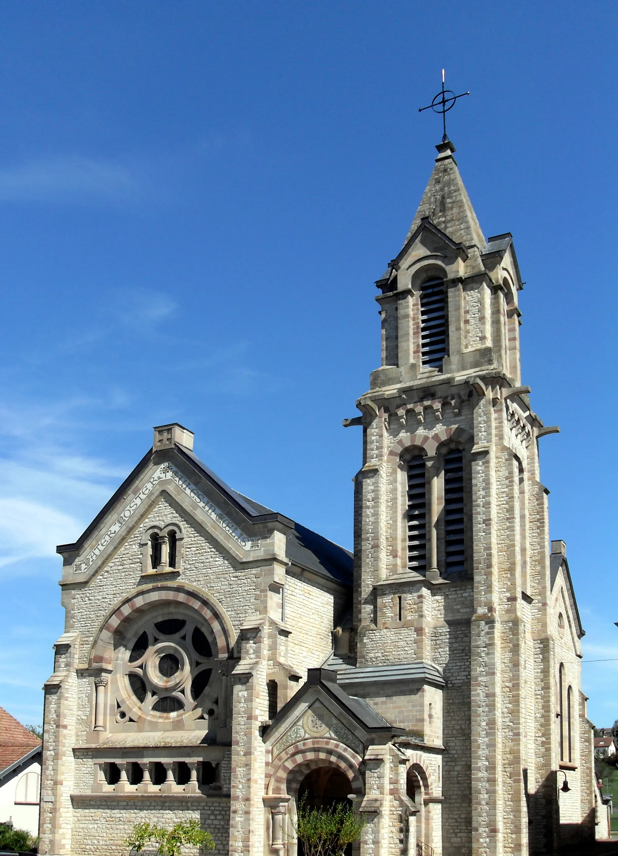
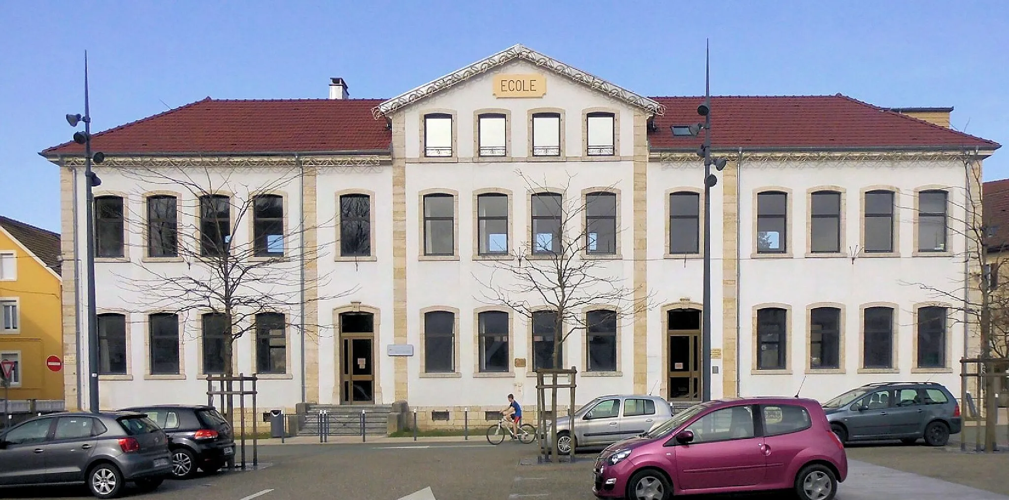
JonchereyVillageJoncherey is a hidden gem nestled in the rolling hills, offering breathtaking views of the surrounding countryside.
34 km
34 km
HindlingenVillageHindlingen is a picturesque village with charming half-timbered houses and a vibrant local market.
48 km
48 km
MontignezVillageMontignez is a peaceful hamlet surrounded by lush green fields and scenic walking trails.
58 km
58 km
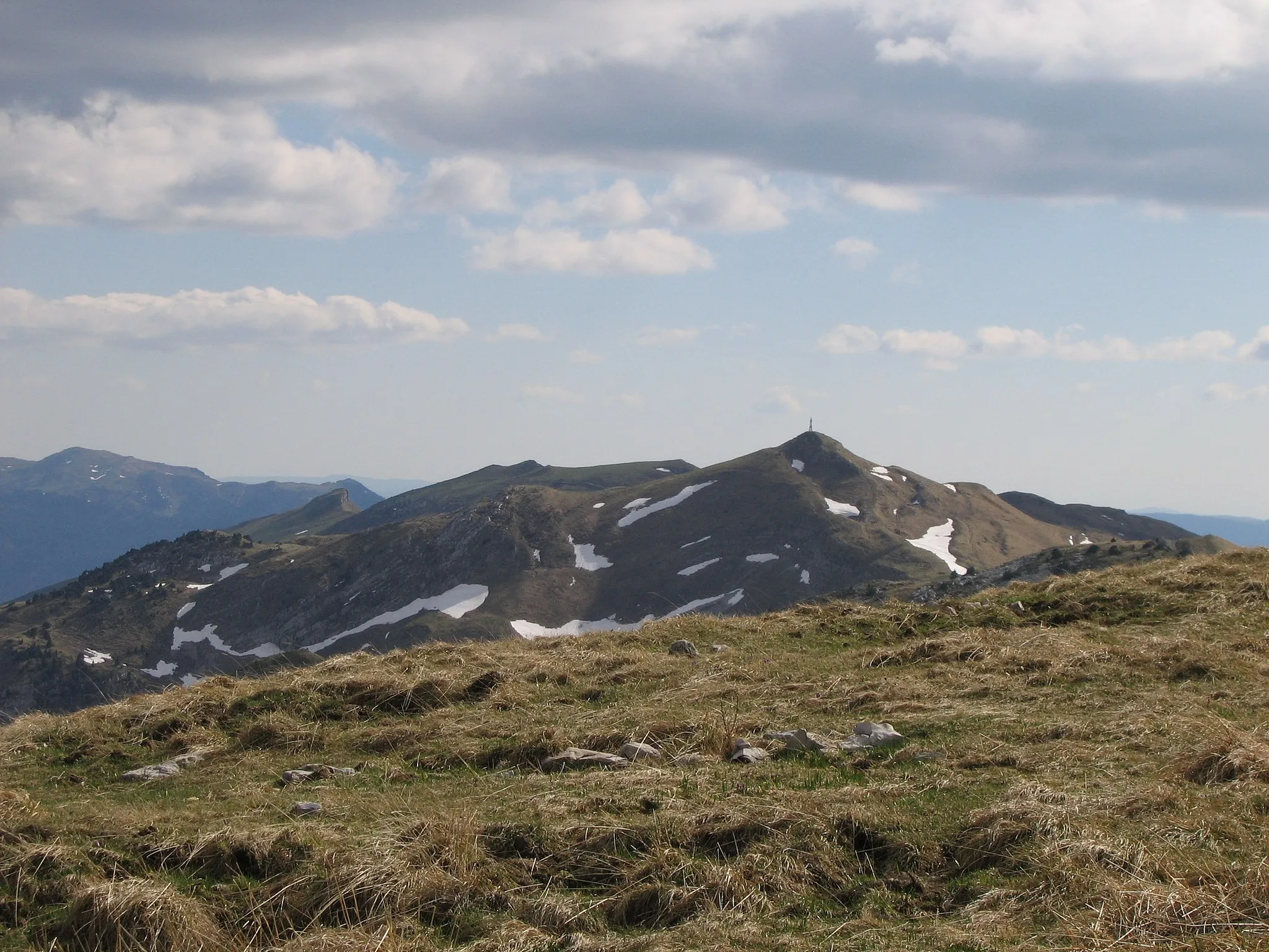
Les Hauts623 mPeakLes Hauts is a hidden viewpoint offering panoramic views of the Franche-Comté region.
65 km
65 km
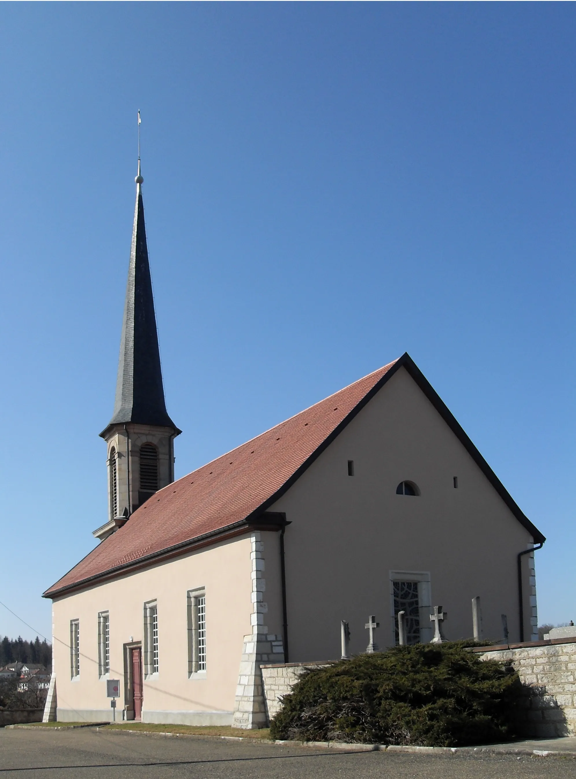
AbbévillersVillageAbbévillers is a small village with beautiful medieval buildings and a lively local market.
68 km
68 km
Finish: Hérimoncourt Village centerHérimoncourt: Enjoy the peaceful countryside of Hérimoncourt on your bike
Cycling routes from Herimoncourt:
Scenic Ride to Thiancourt Epic Gravel Challenge to Meslières Seloncourt and Beyond Hérimoncourt to Thulay Scenic Road Route Hérimoncourt to La Roche Scenic Road Route Gravel Adventure to Joncherey Hérimoncourt to Pont Sarrazin Gravel Route Franche-Comté Epic Cycling Circuit From Hérimoncourt to Abbévillers Hérimoncourt to Thulay Scenic Road Route
Cycling routes nearby: